So here we are in the Northern Territory, our fourth state/territory of the circumnavigation. We are pretty much at the opposite end of the country to Melbourne, so I think that makes us about halfway through our trip. Only halfway! It has been many, many years since I was last in the NT, and Matt has never been so we are particularly excited to be here.
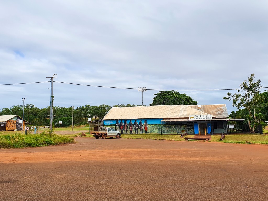
We spent five days in Gove and the neighbouring inland town of Nhulunbuy. Situated in Arnhem Land, the Gove Peninsula is barely touched by western development, with the exceptions of Nhulunbuy and the bauxite mine and alumina refinery. There are vast tracts of unspoilt land, beaches and ocean. Nhulunbuy is a purpose built town developed in conjunction with the bauxite mine and the now closed alumina refinery. The town is built on a Special Purpose Lease on Aboriginal land and is now the largest town in East Arnhem Land and the fourth largest town in the NT.
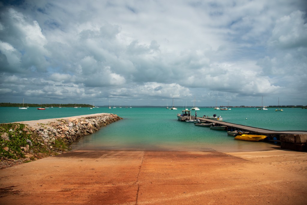
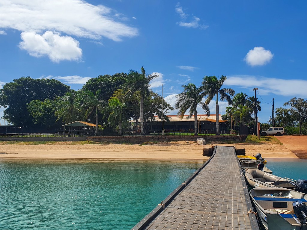
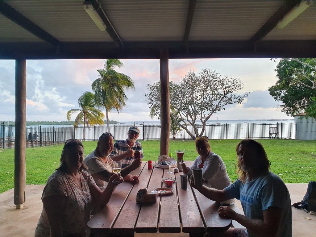
Anchored in the calm waters of Gove Harbour, we spent several days just relaxing and catching up with family and friends as we had good phone reception. We joined up as temporary members of Gove Boat Club and used their showers and laundry facilities. Evenings saw us hanging out with Brian, Sandra, Terry and Leonie. We had a potluck dinner at the BBQ shelter and evenings on both Sealeaf and Sens de la Vie. Our friend Matt, who happened to be working in Gove at the mine, came out for drinks one afternoon and it was great to get his local perspective on the town.
Terry and Leonie had a contact in Nhulunbuy, a friend of a friend who had very kindly offered to drive them around and give them a bit of a tour. We jumped at the chance to tag along. Ivor and his wife Linda have been living in Nhulunbuy for over 30 years so he was a fount of knowledge about the area. He drove us around the town, pointing out buildings of interest and also took us up the Roy Marika Lookout and out to some local beaches.
It was fairly quiet around the town, quieter than normal, Ivor told us, because there was a large amount of unrest amongst the local Aboriginal people at the moment. The Aboriginal people here are called the Yolngu, which is the word that Aboriginal people from East Arnhem Land use to refer to themselves, rather than the name of any clan or family group. There are five main clan groups in the area and there is a lot of rivalry amongst the tribes. According to Ivor, this rivalry goes back a long way, but unfortunately it often leads to violence. There had recently been a stabbing of a young man, and so the town was on edge, wary of more violence, as the inevitable payback was dished out.
This tribal rivalry, for no more reason than the fact that they have always been rivals, is absolutely ridiculous. Violence for absolutely no reason. In today’s world, surely these ancient rivalries are no longer necessary and can be let go. Why can’t people just get along, or at least just ignore each other and live peacefully . It drives me nuts and I have no patience for it. Rant over.
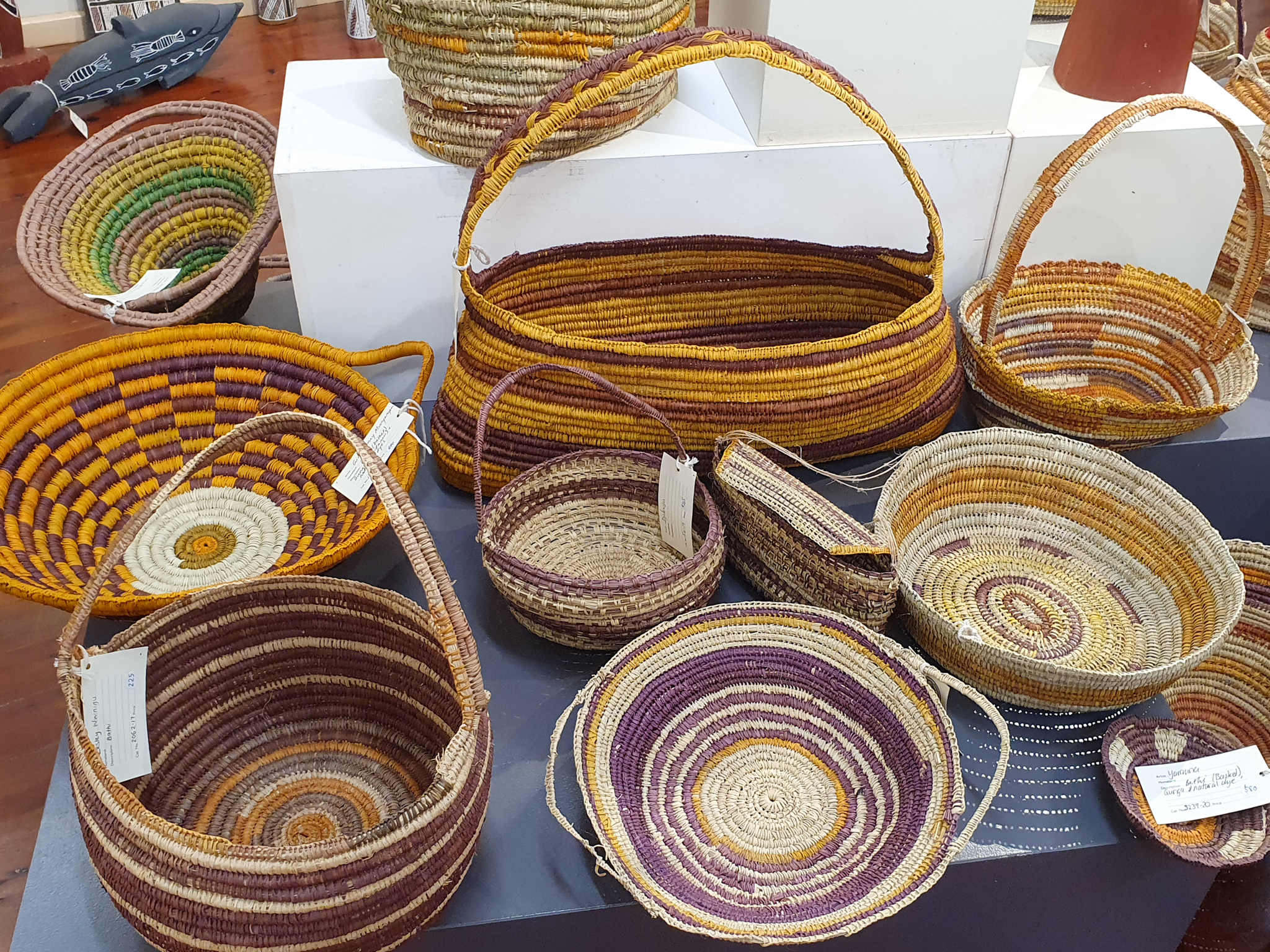
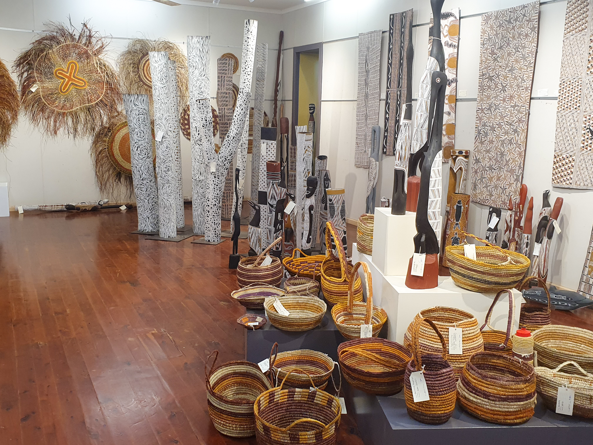
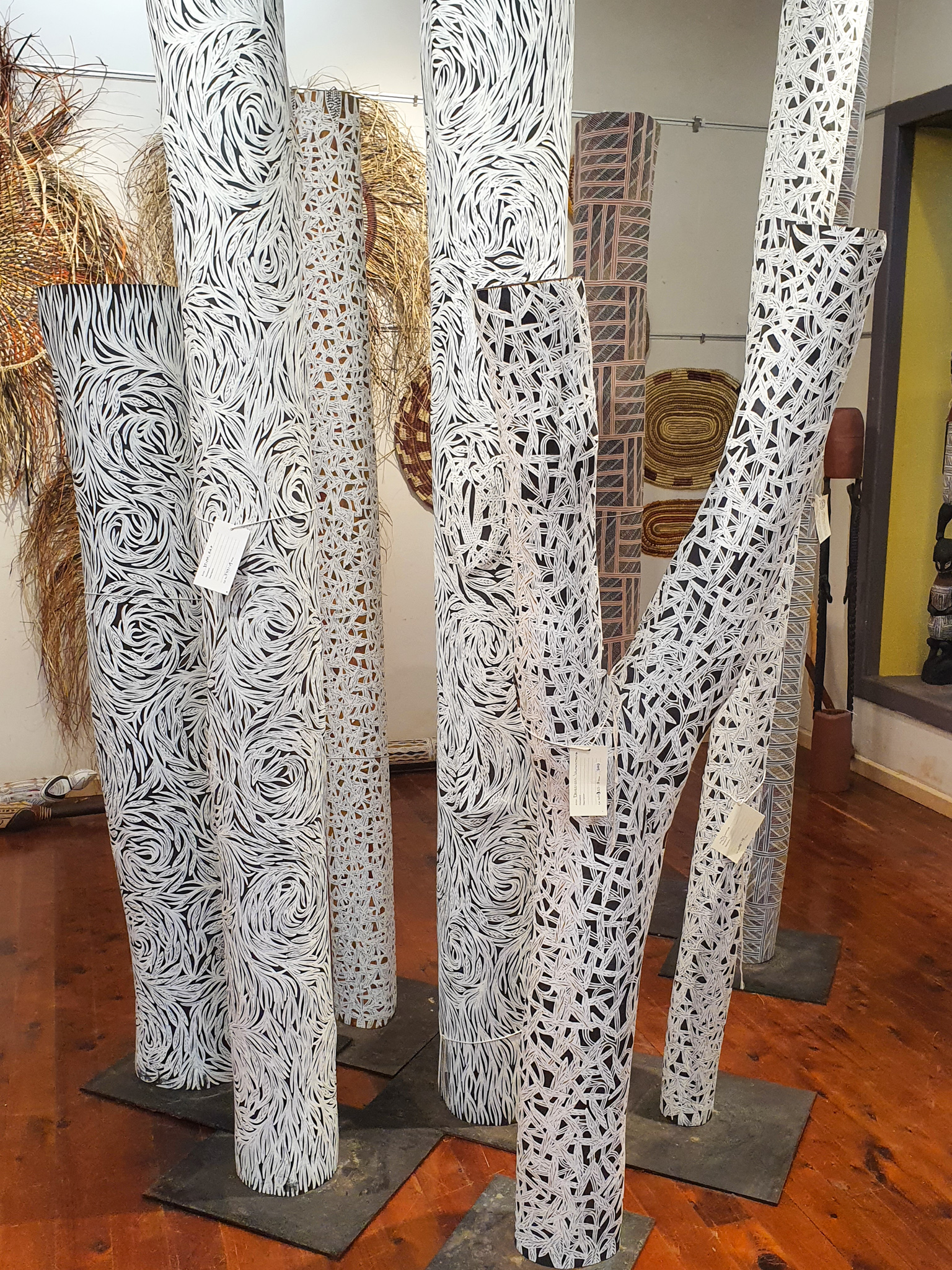
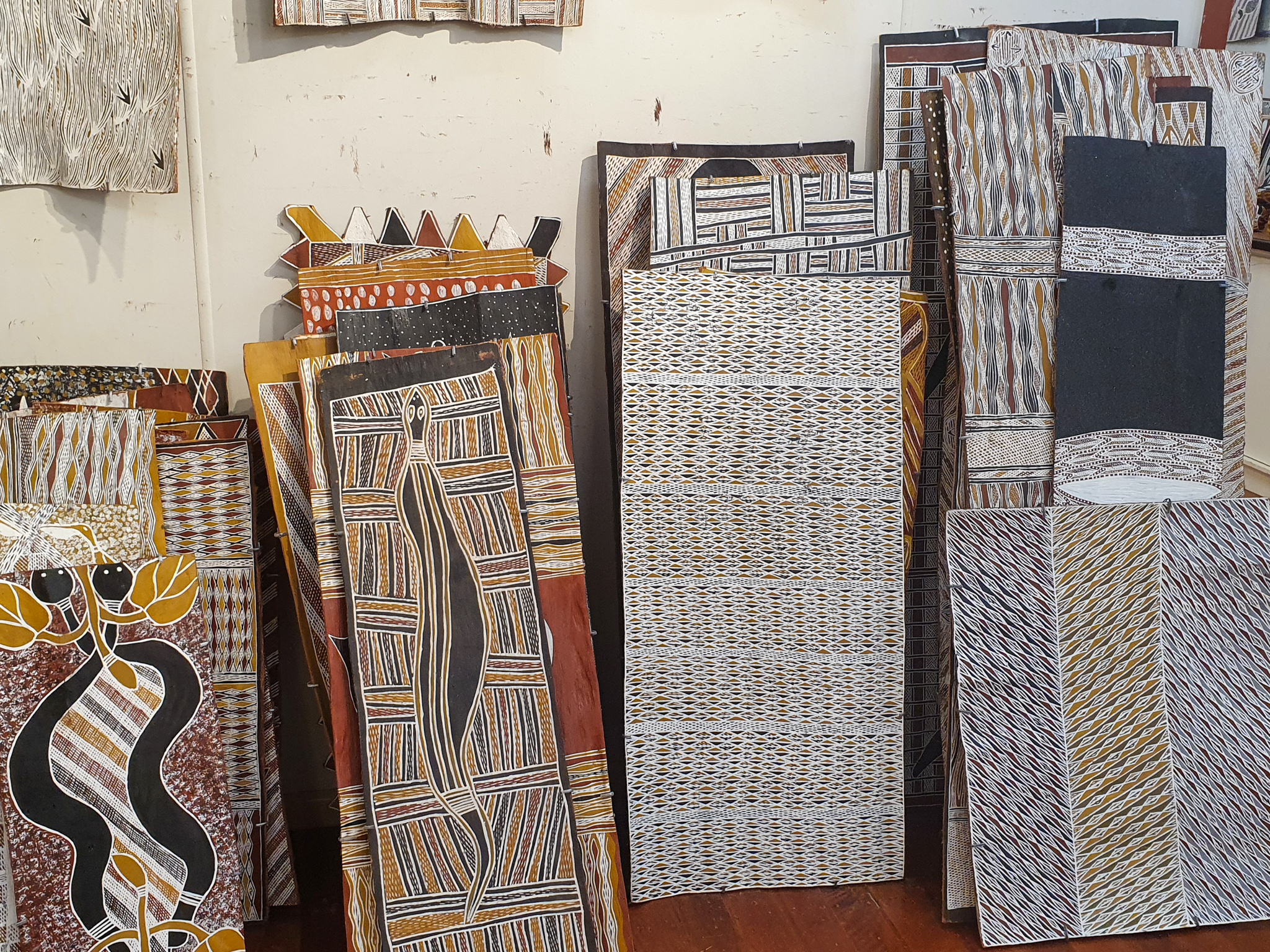
Ivor also took us to the little community of Yirrkala, where the Buku-Larrnggay Mulka Centre is. The Buku Art Centre is a gallery showcasing a range of indigenous artwork, including paintings, weavings, jewellery, sculptures and memorial poles. The artwork is sold and distributed to buyers all over the world. We admired many of the intricate pieces, but with prices reaching thousands of dollars, even the cheapest pieces were beyond our means.

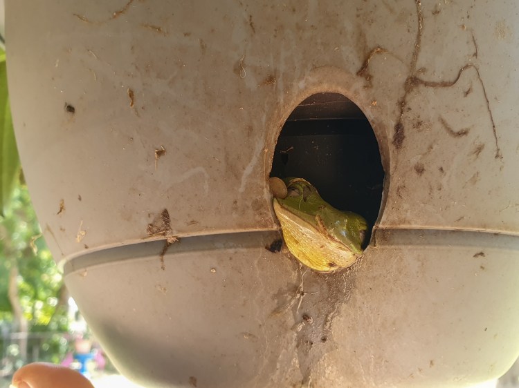
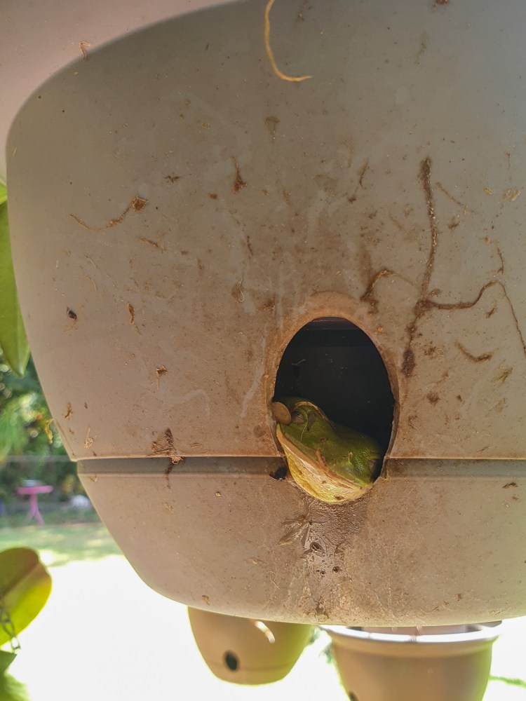
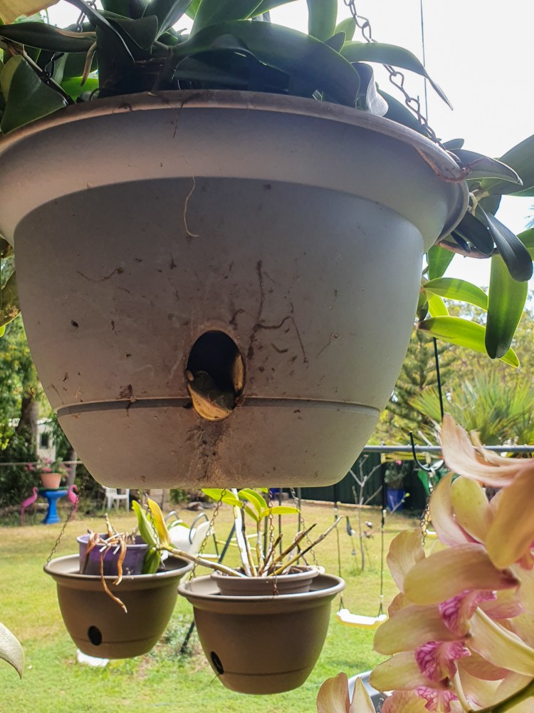
Ivor also took us back to his house to meet his wife Linda, and their pet green tree frogs who live in some hanging baskets. How cute are these guys?!! Many thanks to Ivor and Linda for their hospitality.
After our time in Gove we were well rested, the boat was nice and clean and the fridges and freezer were stocked full. It was time to move on. The next couple of weeks would see us sail along the Northern Territory coast until we reached Darwin. This would be some of the most isolated and remote waters that we had sailed so far. Although we would be able to get off the boat to stretch our legs on some beaches, there were no towns or ports where we would be able to buy any supplies, and we would have very limited internet and phone reception. We had to be completely self sufficient for the next couple of weeks. I was looking forward to it!
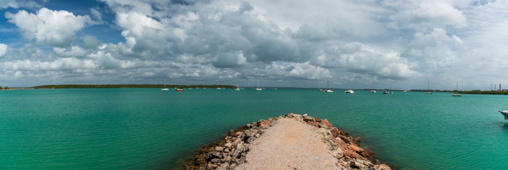
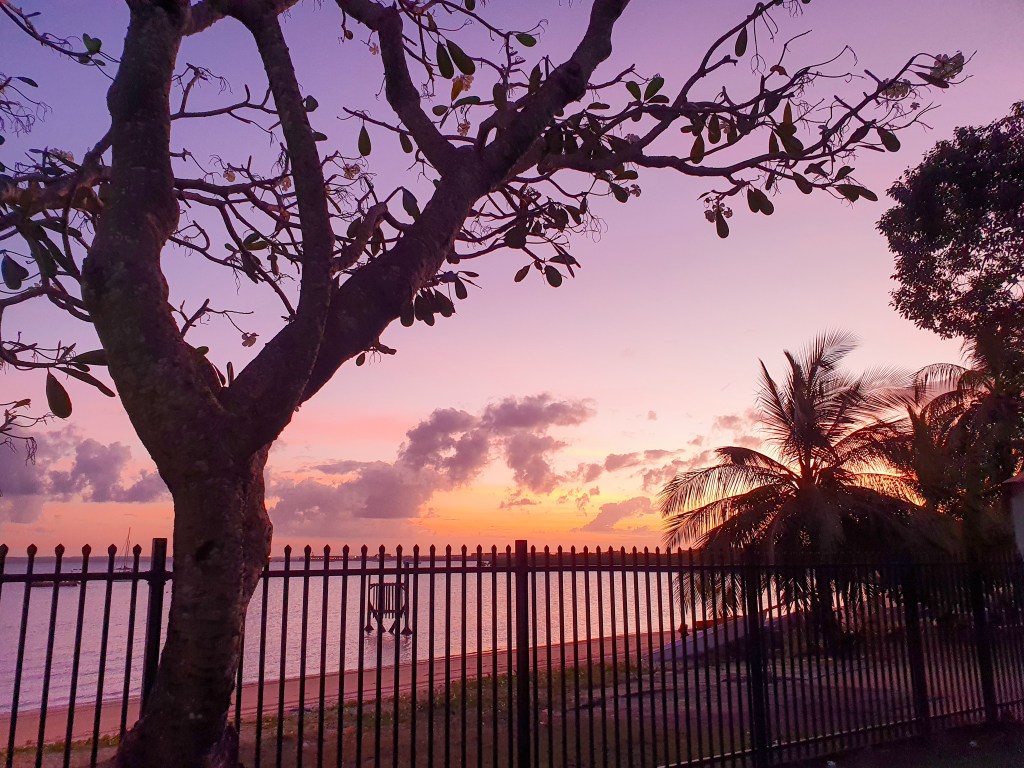
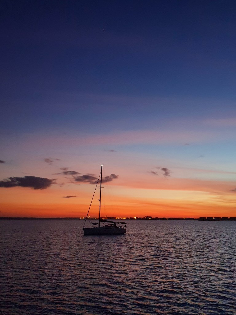
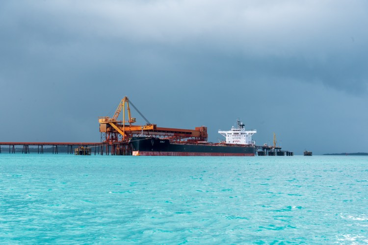
We farewelled Gove, motoring out of the harbour under grey skies, but still in incredible aqua coloured water. Once past the huge tanker being filled with material from the mine, we hoisted our sails and set off for the English Company Islands.
We decided to anchor at Wigram Island for the night and tucked ourself into the little bay. Although we could see some buildings near the shore, the island seemed deserted. We spent the following morning on the boat, making water to to fill our tanks and Matt also pressure washed off all the red dust that had accumulated on our deck.
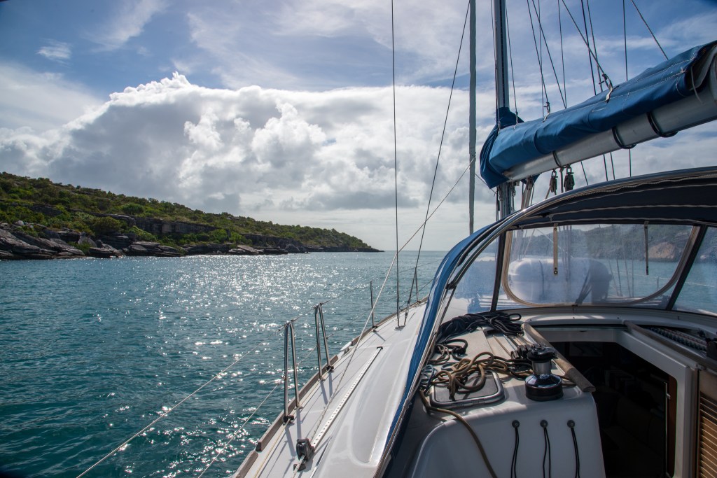
We were in no hurry because our next passage included the famous Gulgari’s Rip, otherwise known as the ‘Hole in The Wall.’ The Gulgari Rip is a narrow passage, about 50 metres wide between two islands, and currents can rip through there at 9 to 12 knots. Consequently the ideal time to transit is at slack water, unless you feel like a rollercoaster ride. Seeing as we were not up for quite that much excitement, we read the guidebooks and tried to calculate the time of slack water. One said two and a half hours after Darwin high tide, another said one and a half hours after Gove high tide. We spoke to Brian and Sandra who’d motored through the day before and they had had a good passage at 2pm. We settled on aiming to enter sometime between 2pm and 3pm.
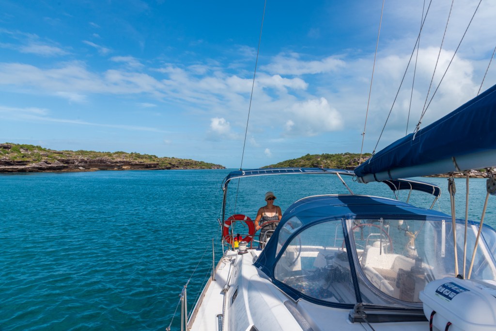
So around midday we set sail into pretty calm water that was the most beautiful aqua colour. It was a lovely sail and we could just spot Sens de la Vie out in front of us, who’d come from Elizabeth Bay where they’d anchored for the night. It was almost impossible to see the entrance to the Rip until we were right upon it. We furled our headsail and started the motor. I steered us into the Rip while Matt got out his camera. We had timed it well and had just a very slight current pushing us.
The Rip was just beautiful, with layers of rocks stacked upon each other lining the sides. We pulled the motor right back, and cruised through slowly, trying to take it all in. A spectacular place and a very cool experience.
Cool Change approaching the Rip:
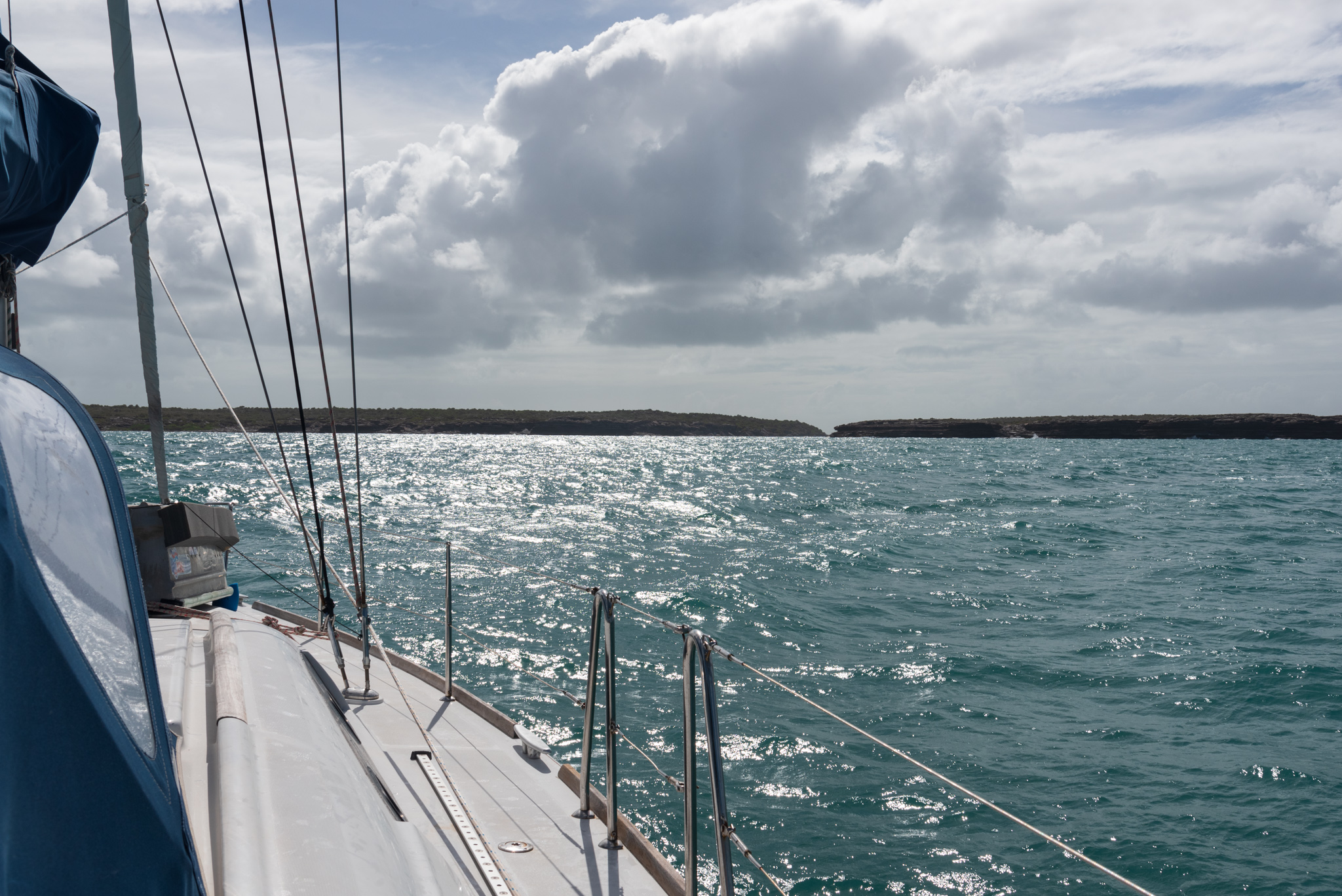
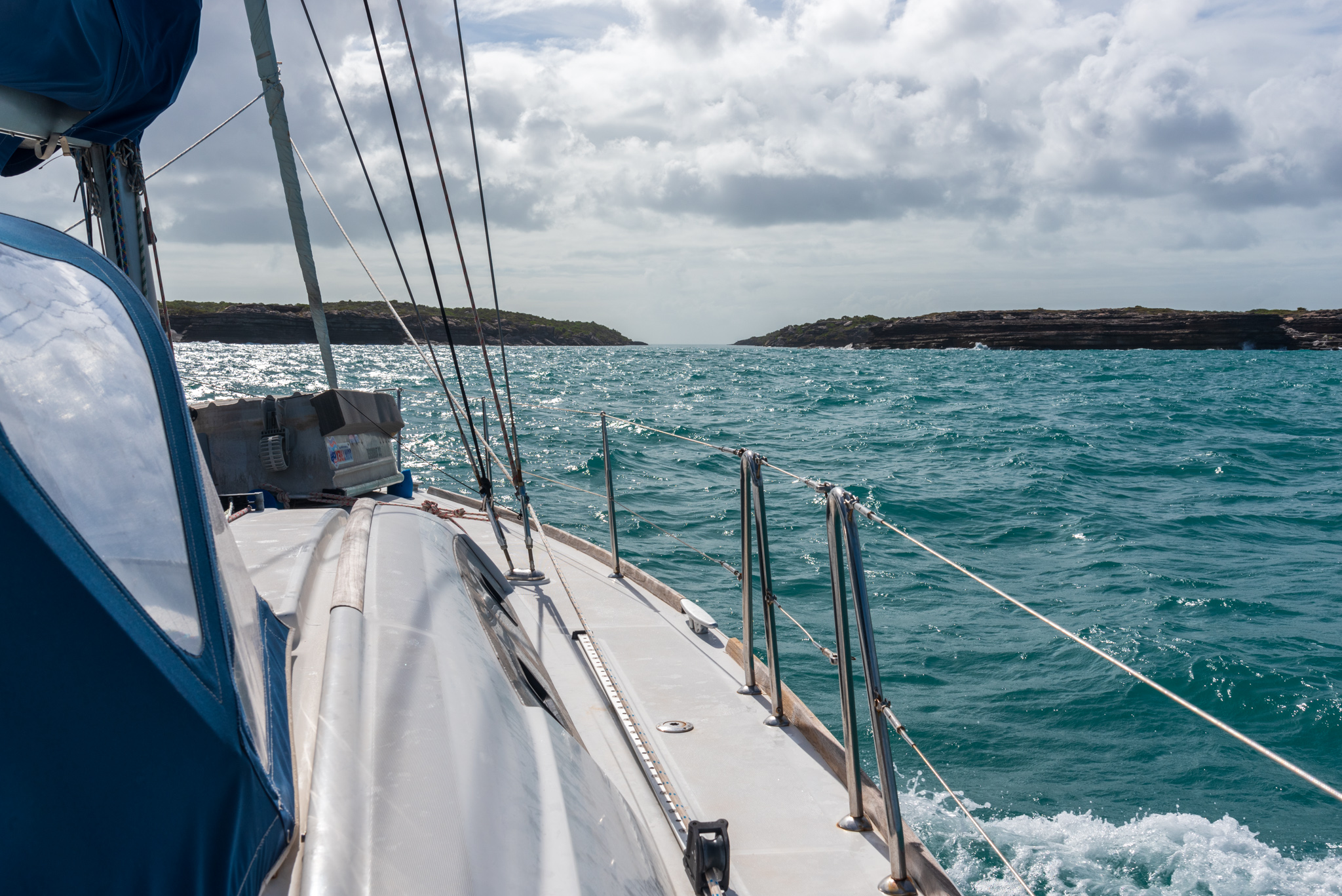
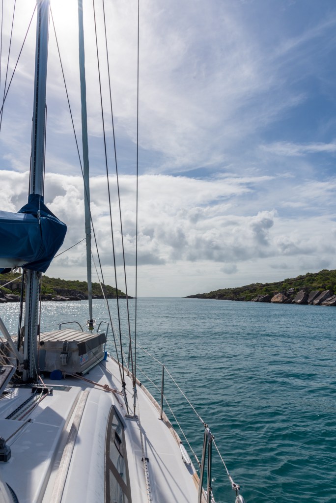
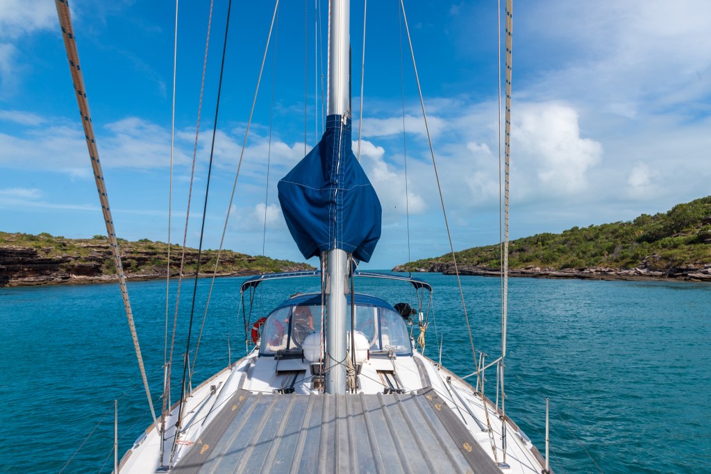
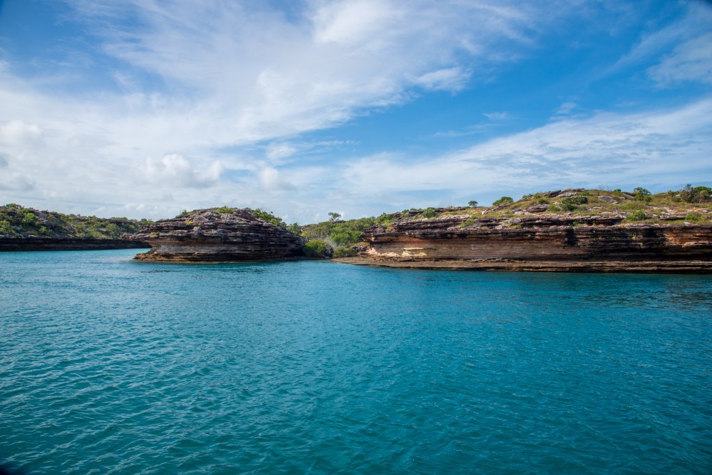
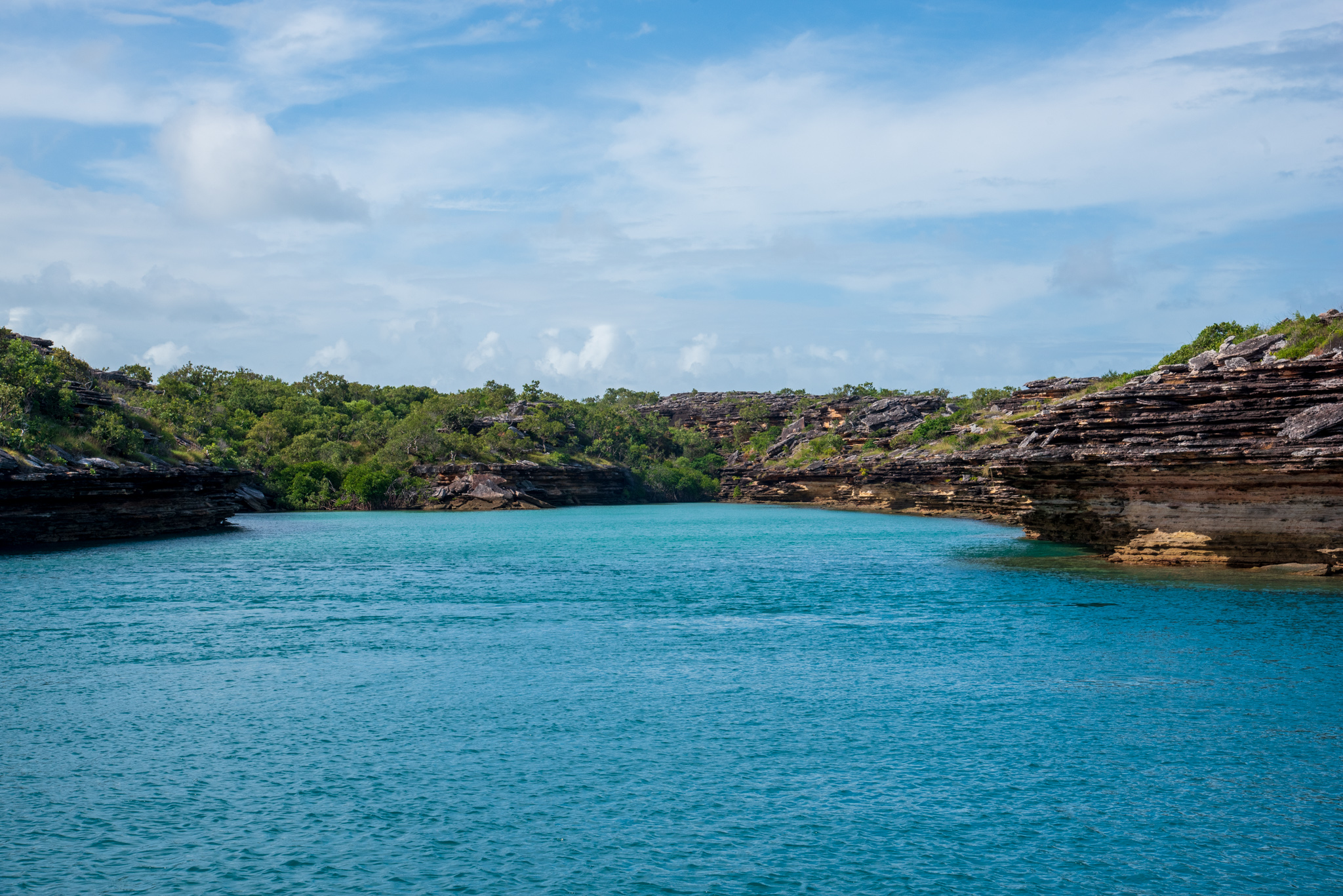
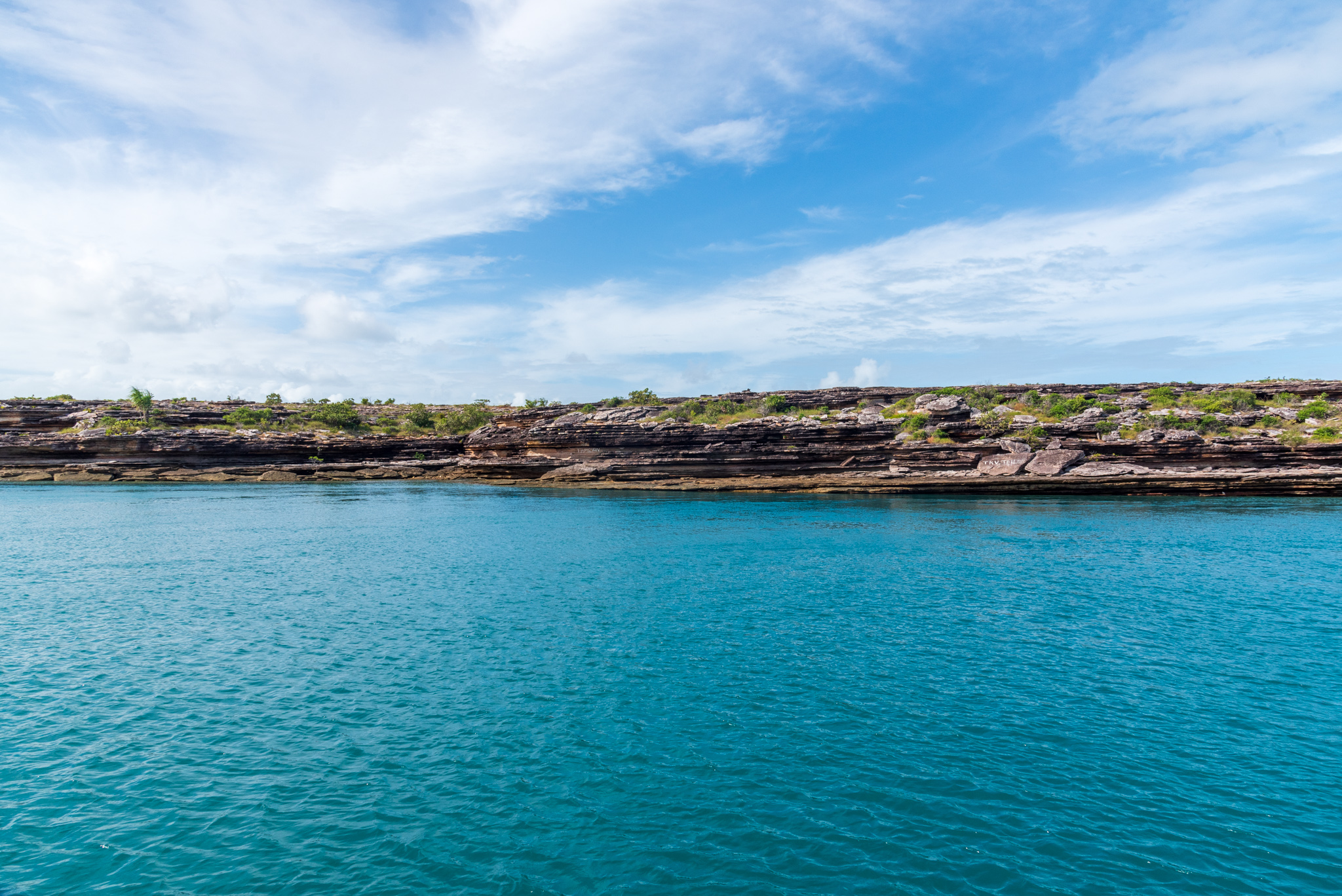
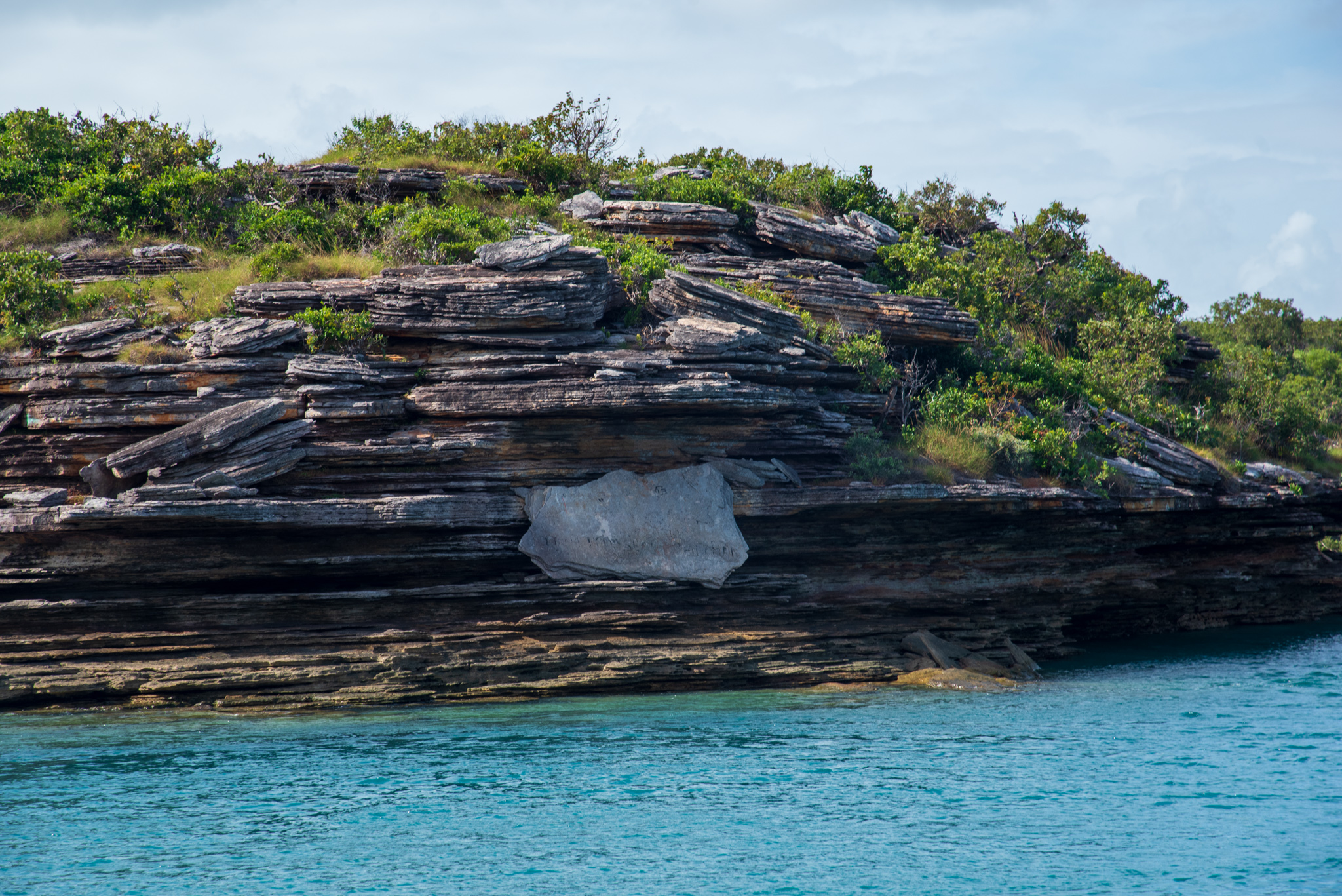
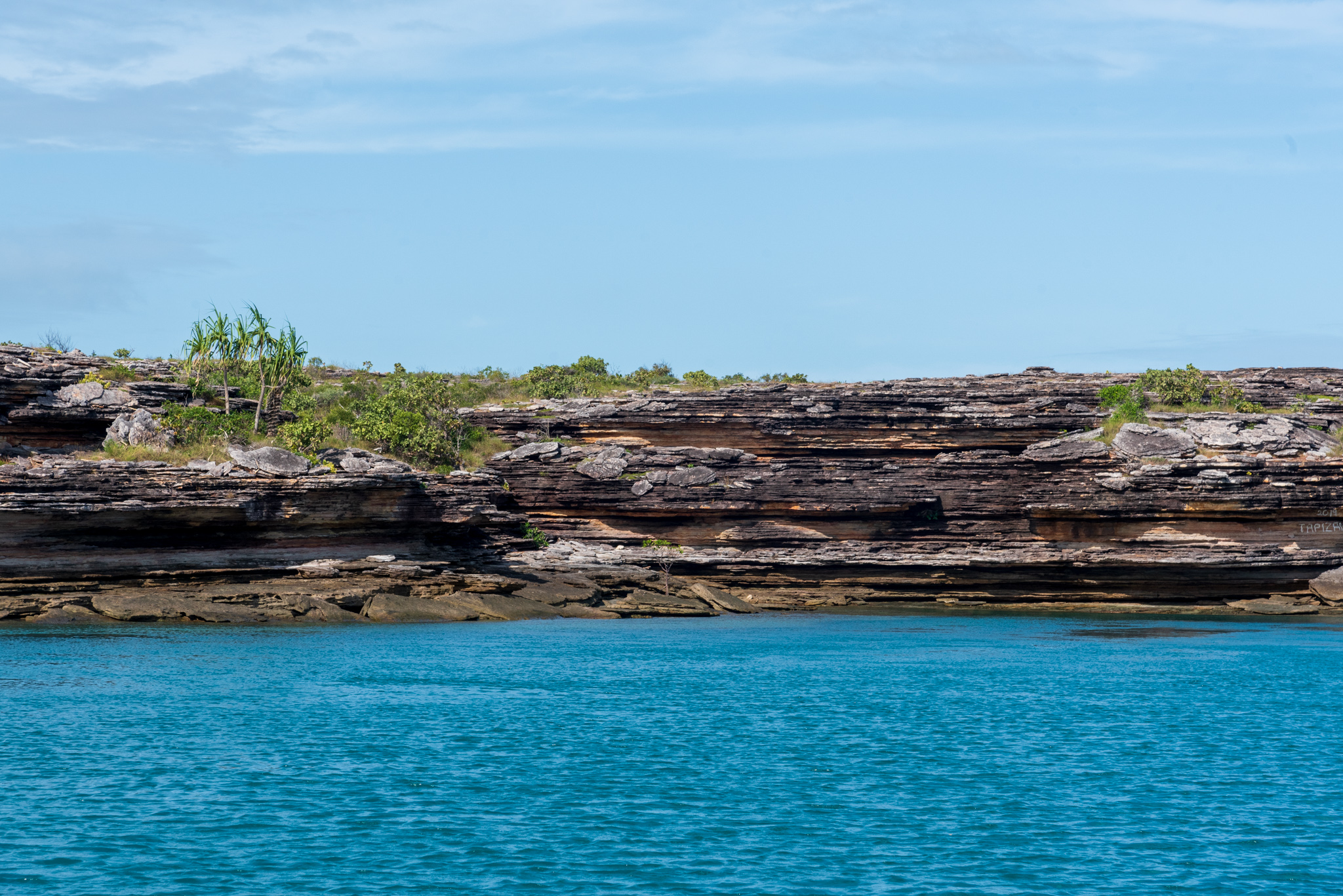
What a beautiful place!! The Gulgari Rip is part of the Wessel Islands, an archipelago stretching 120 kilometres in length. We couldn’t wait to explore them!
The core of mans’ spirit comes from new experiences.
Jon Krakauer
