The Final Stretch – Across the Top of Tassie

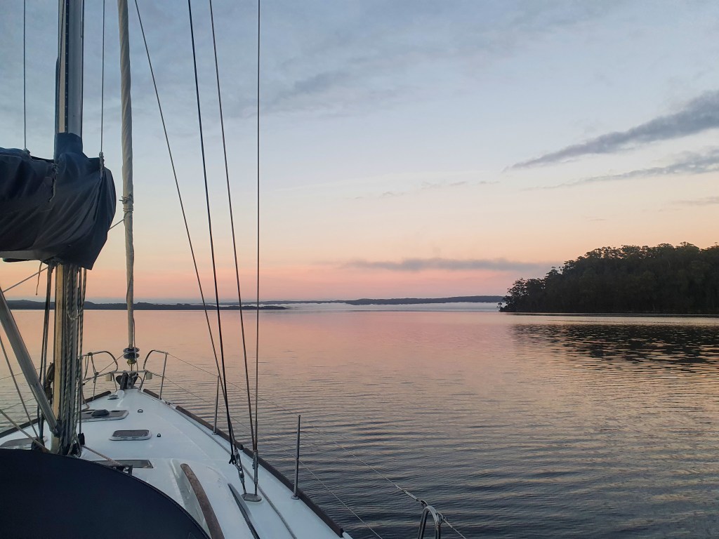
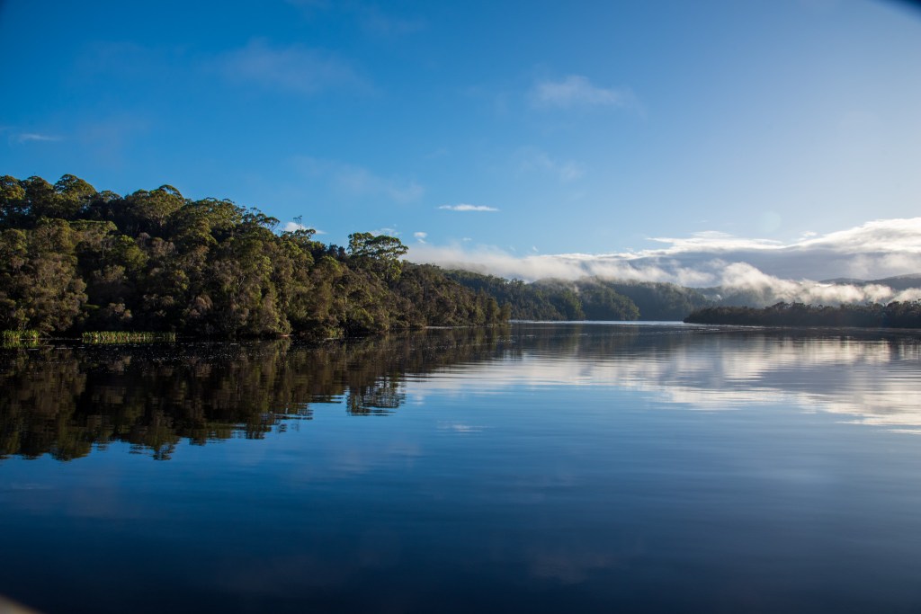
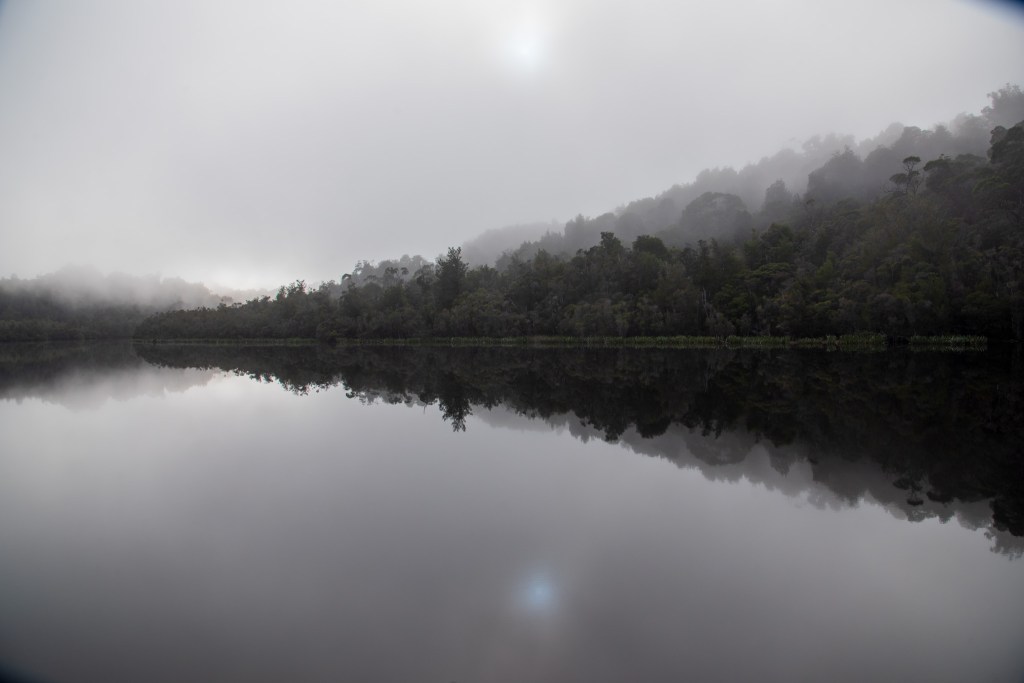
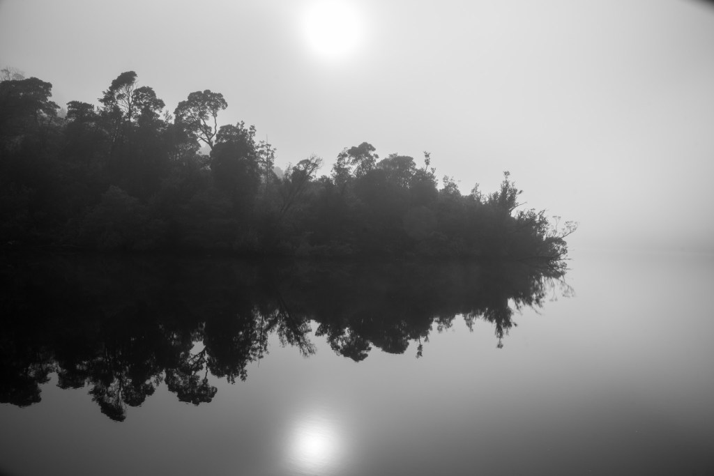
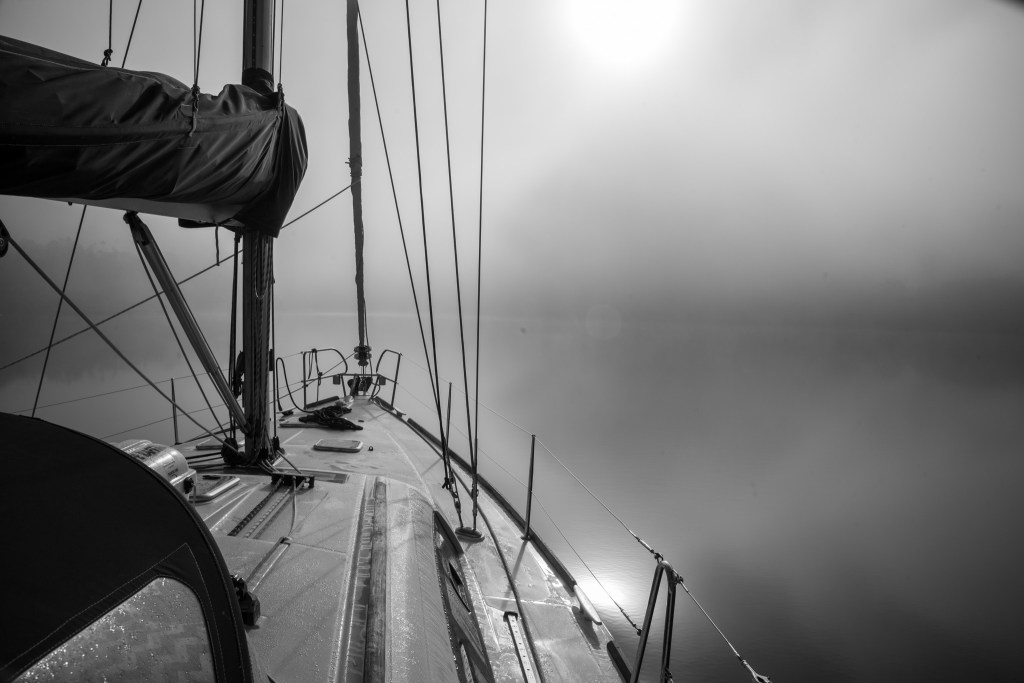
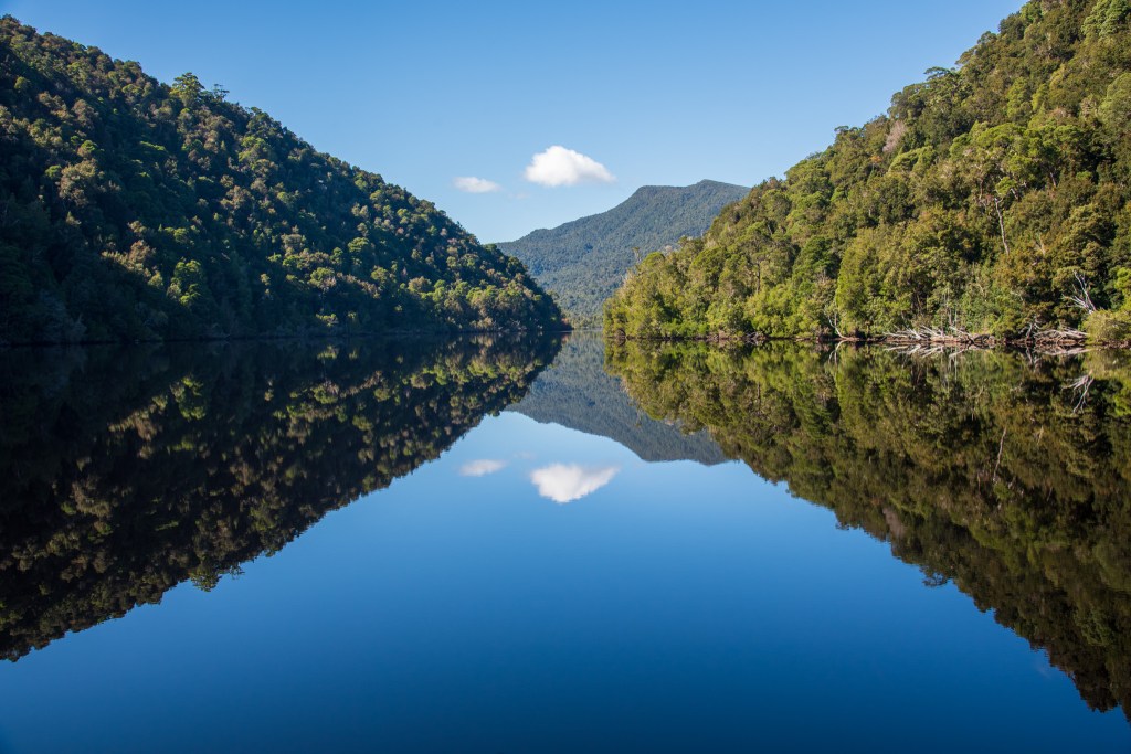
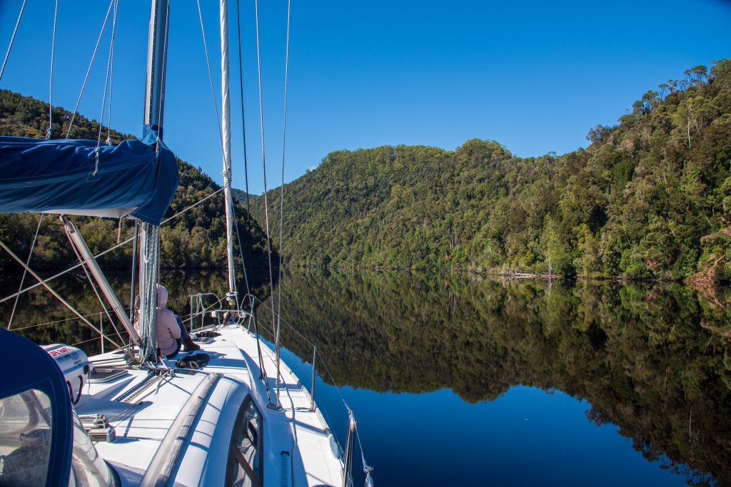
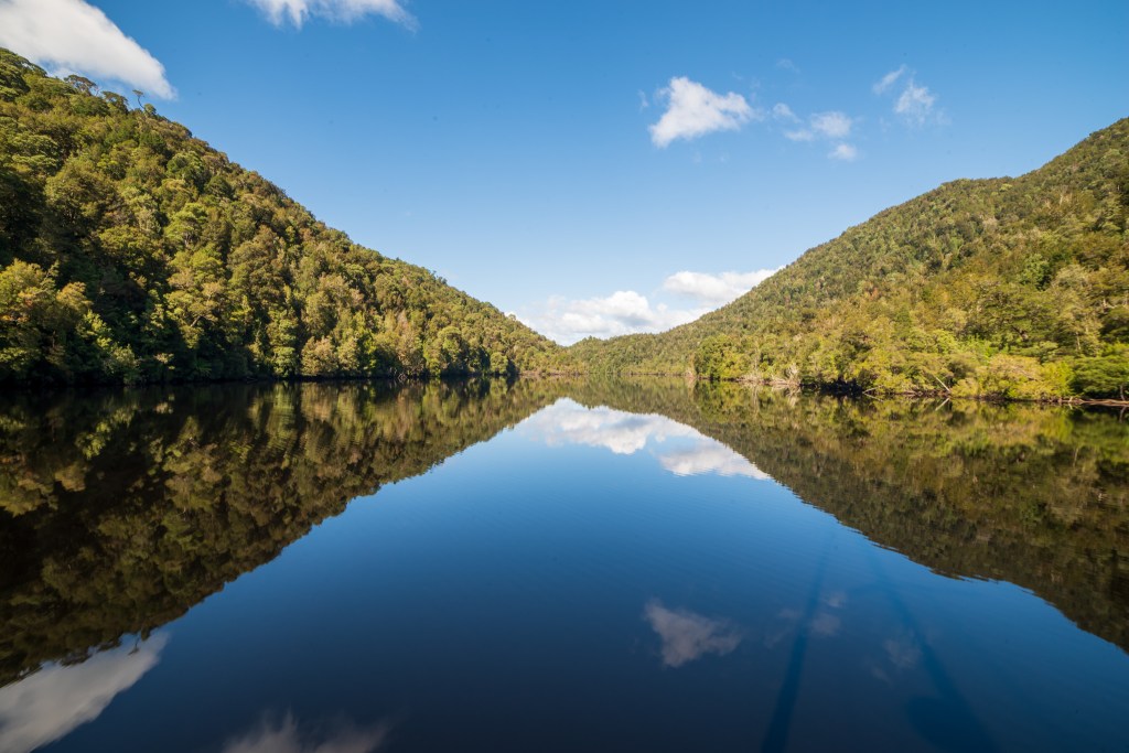
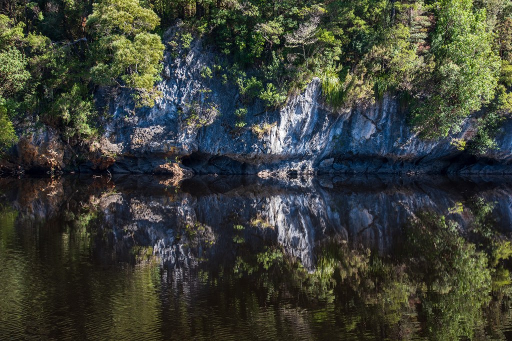
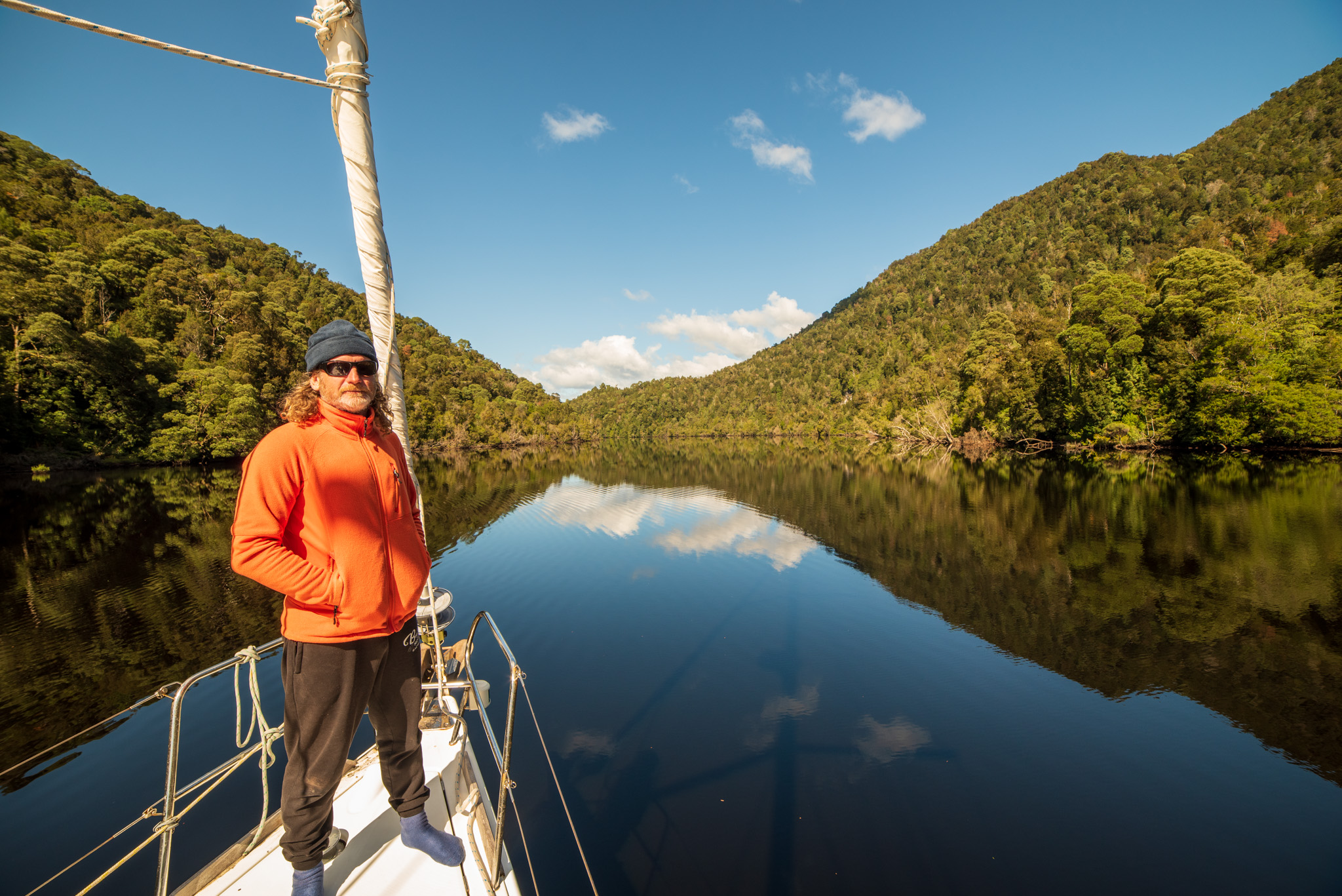
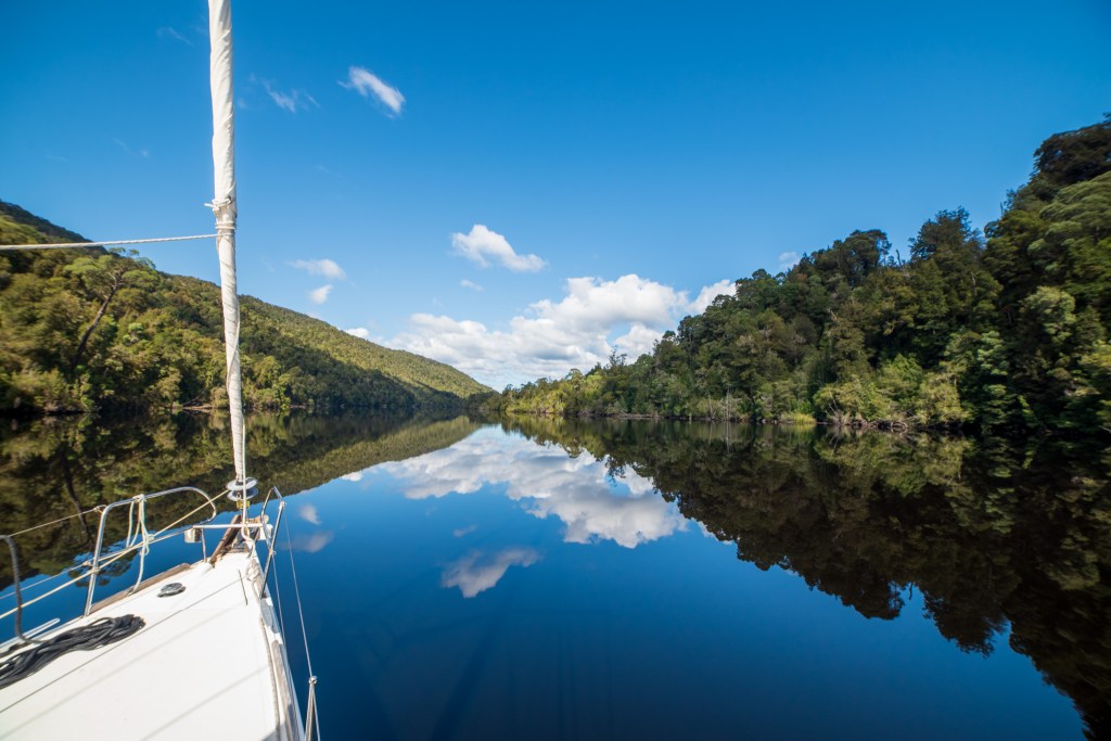
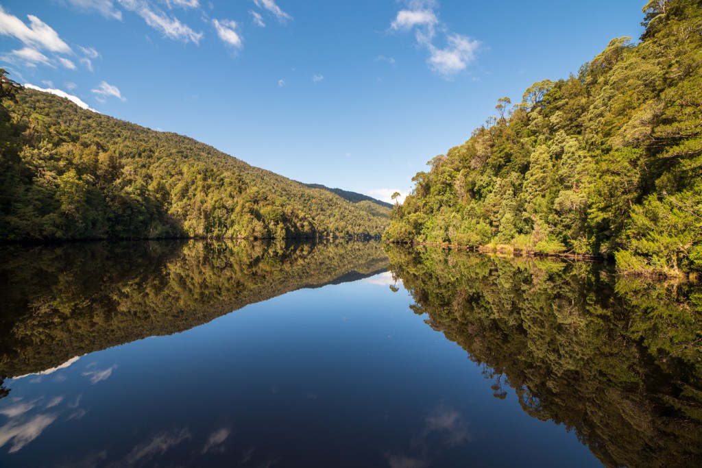
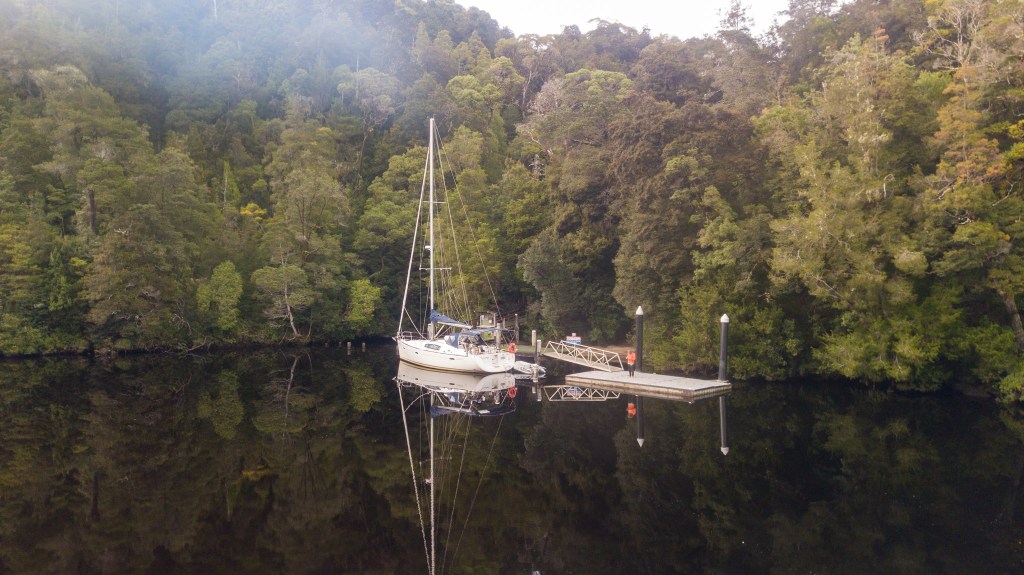
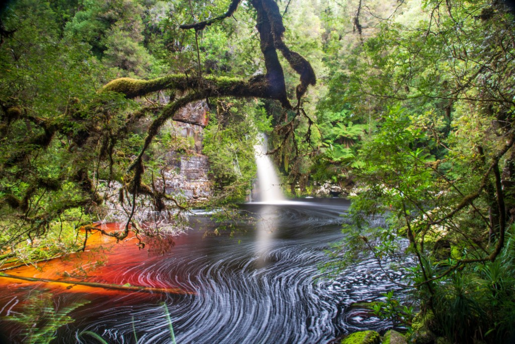
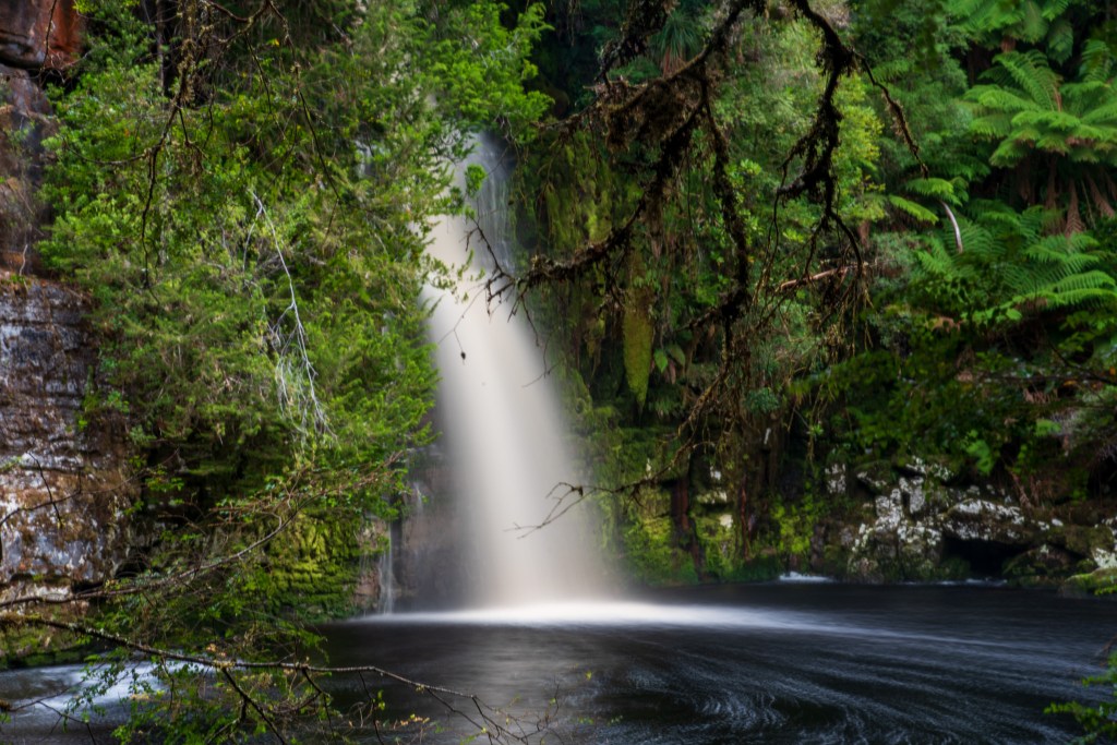
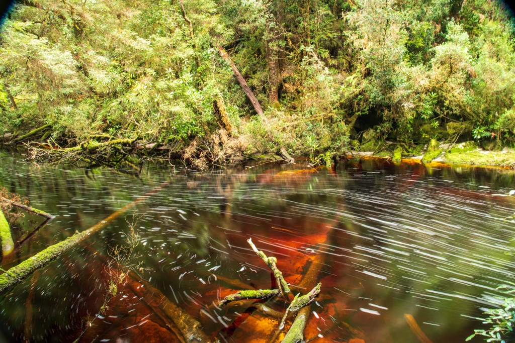
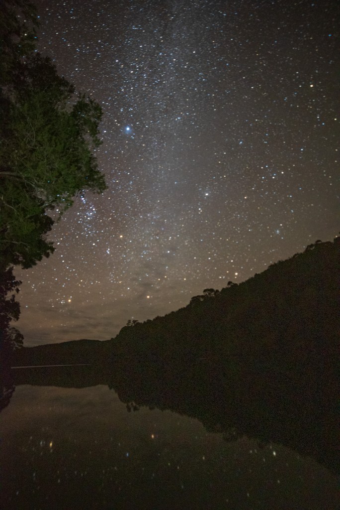
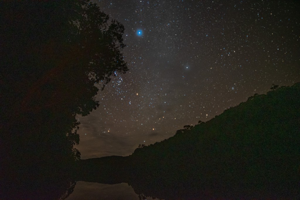
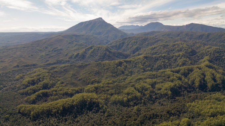
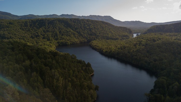
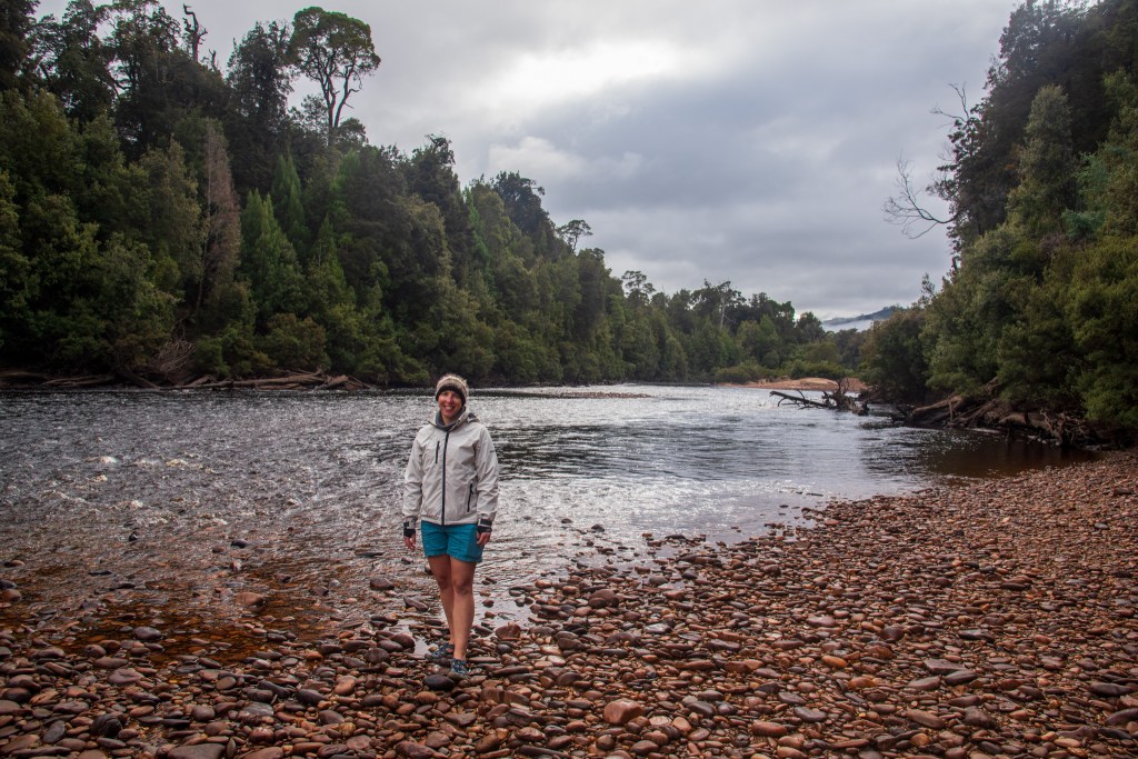
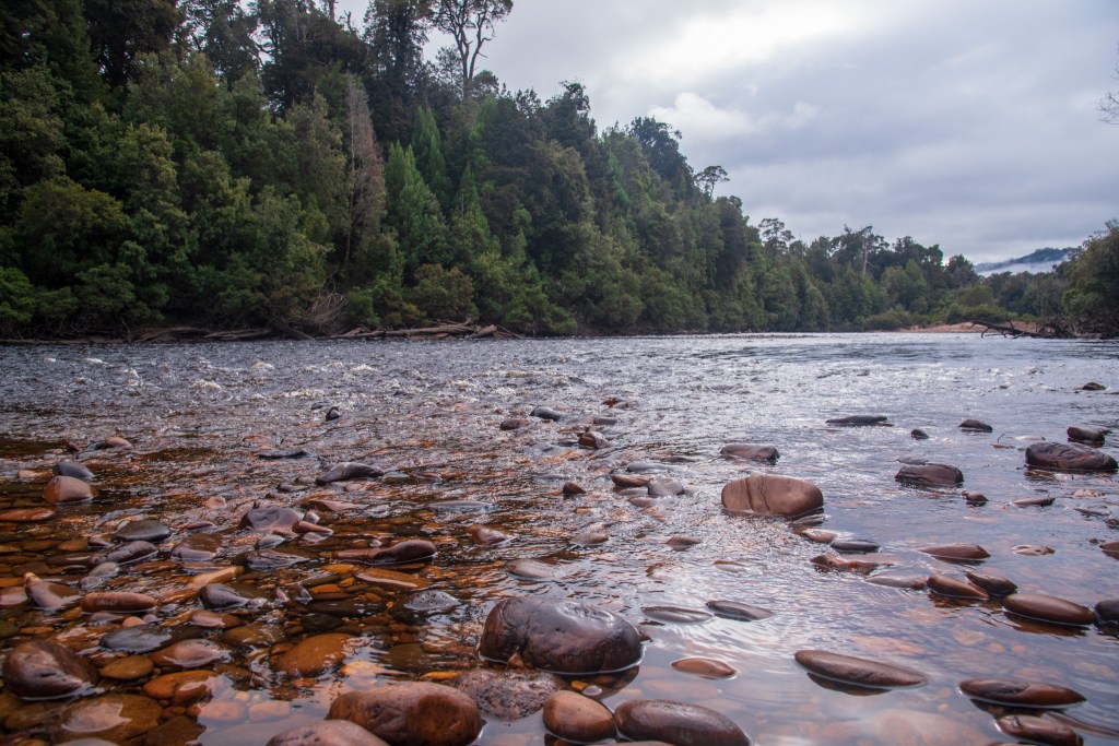
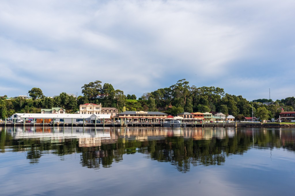
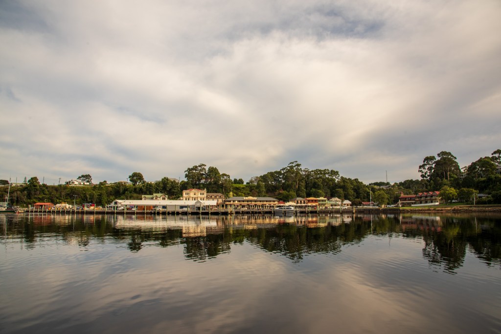
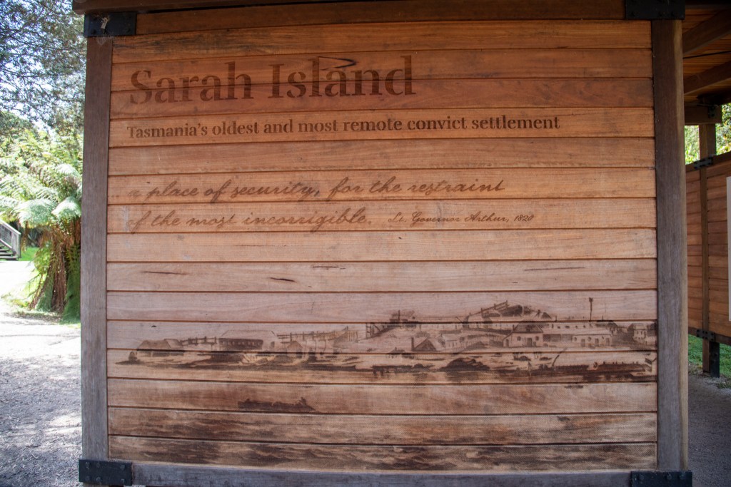
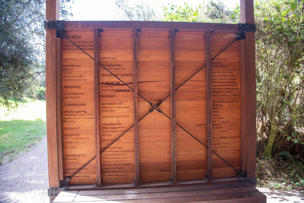
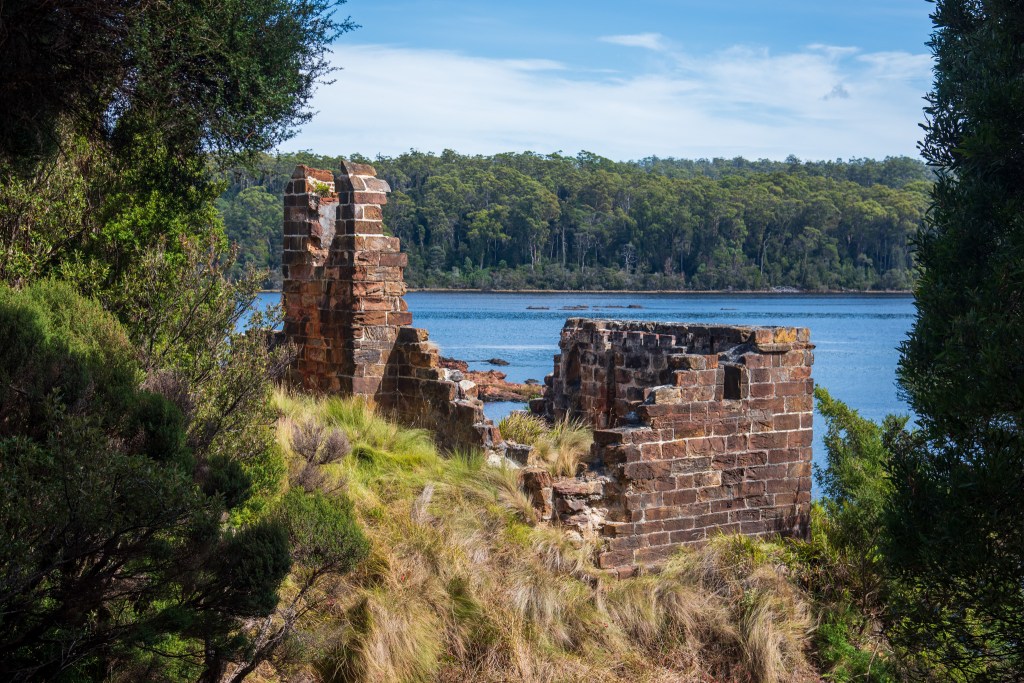
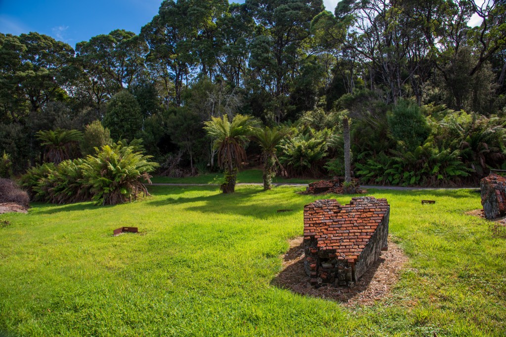
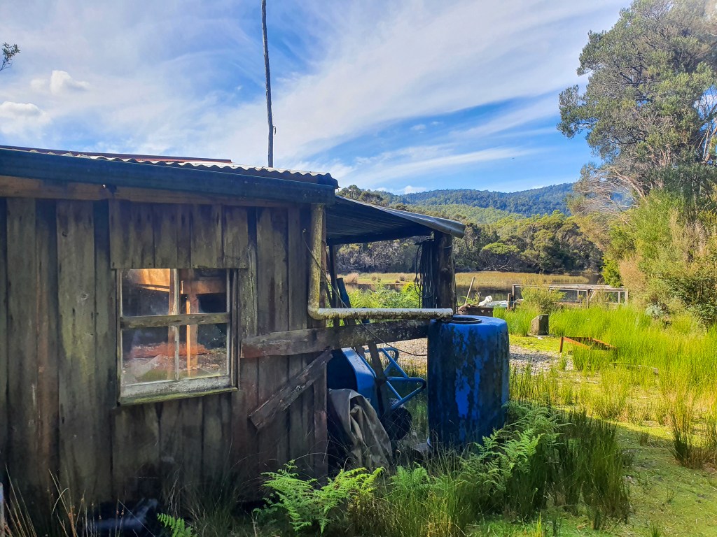
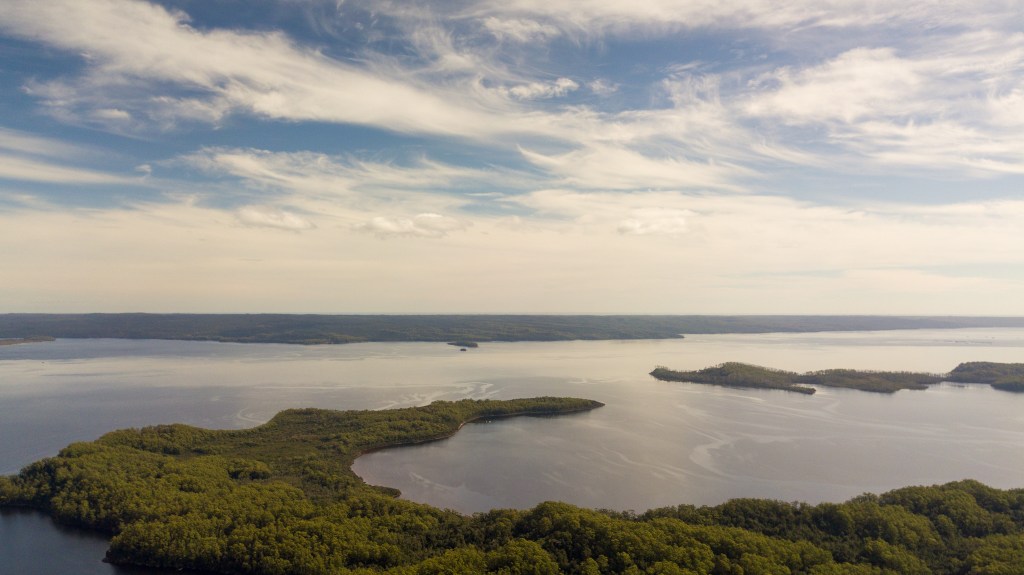
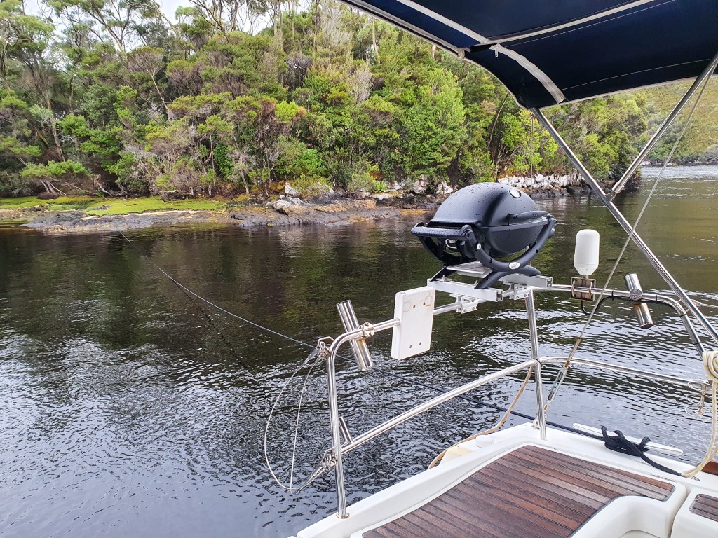
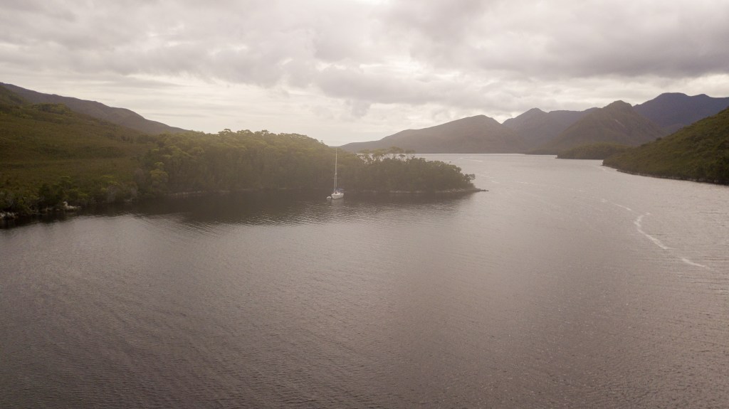
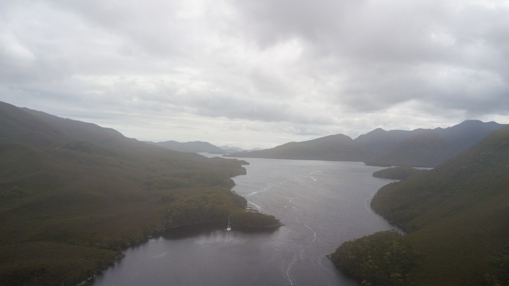
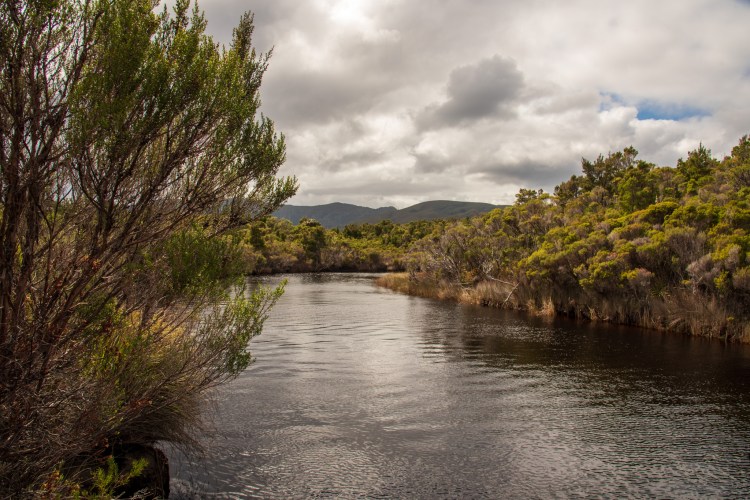
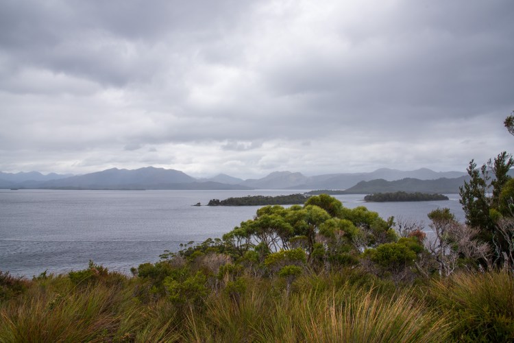
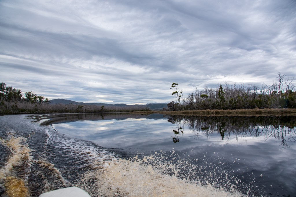
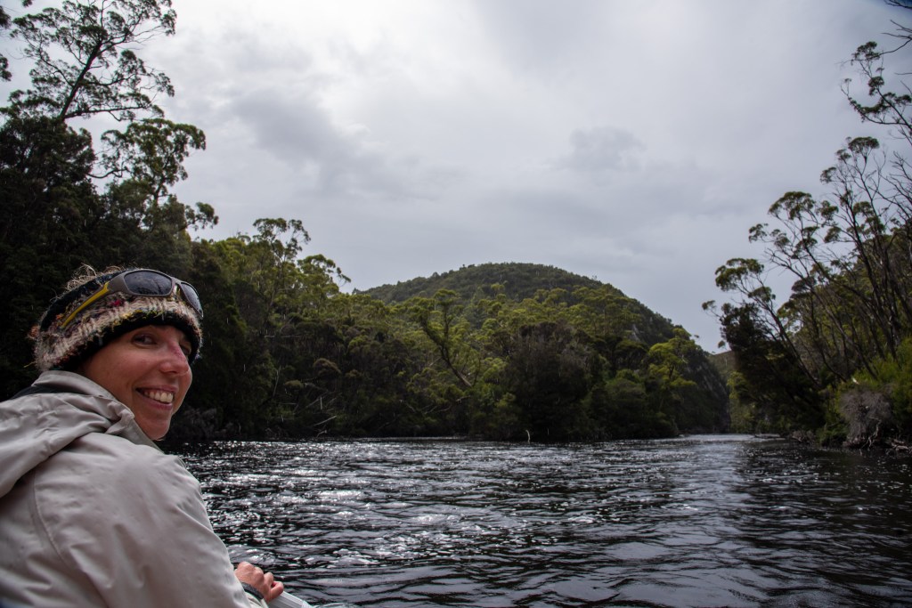
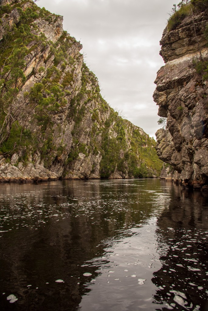
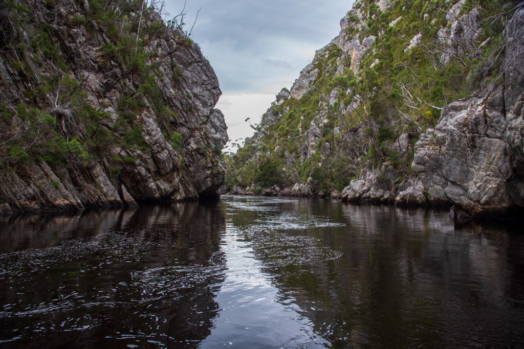
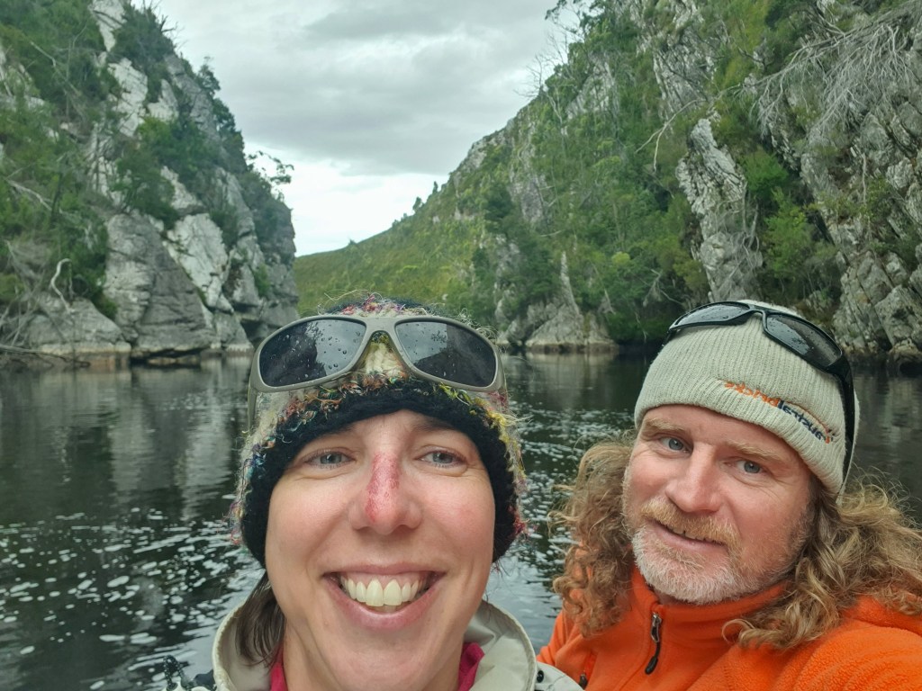
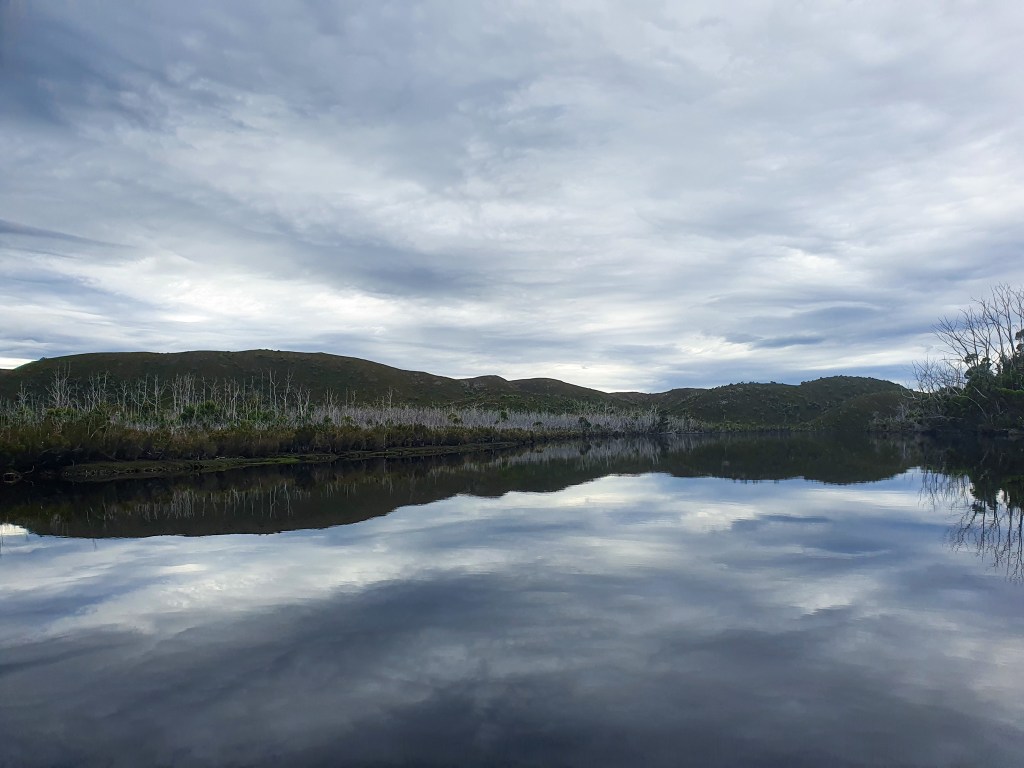
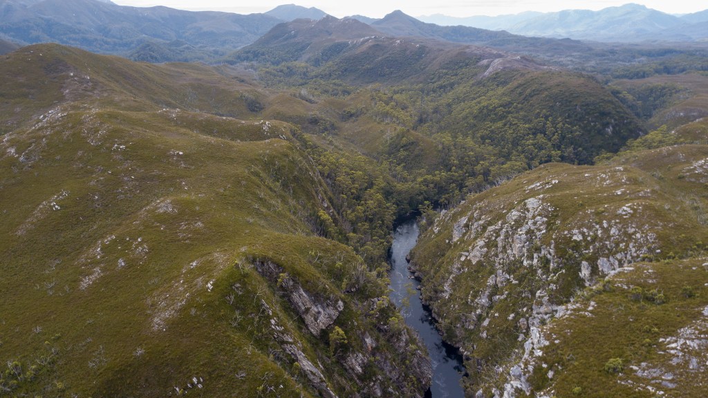
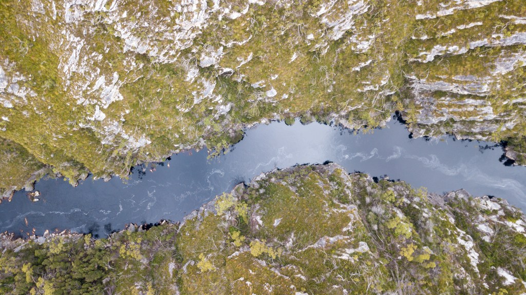
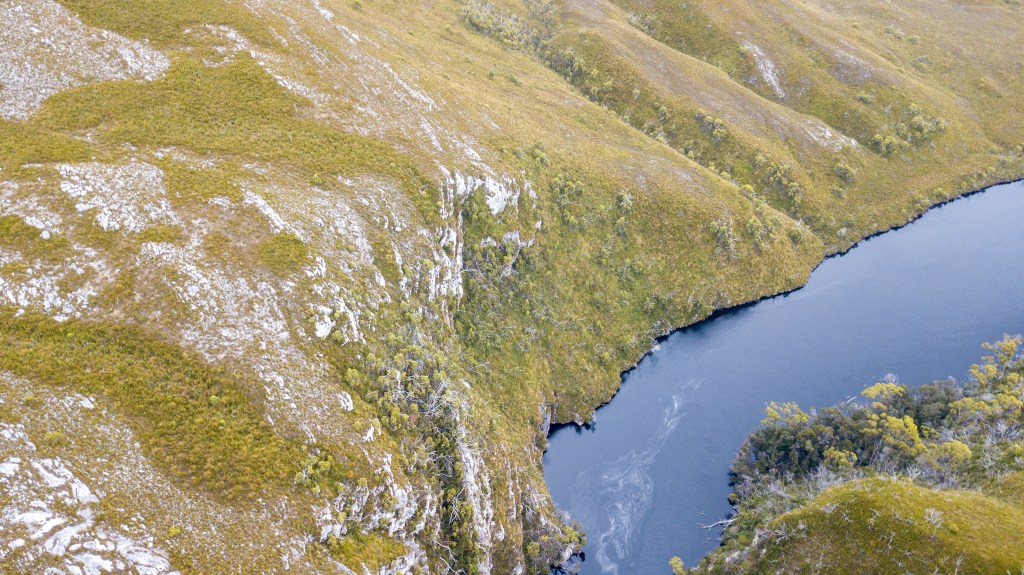
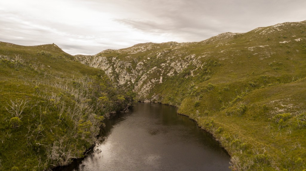
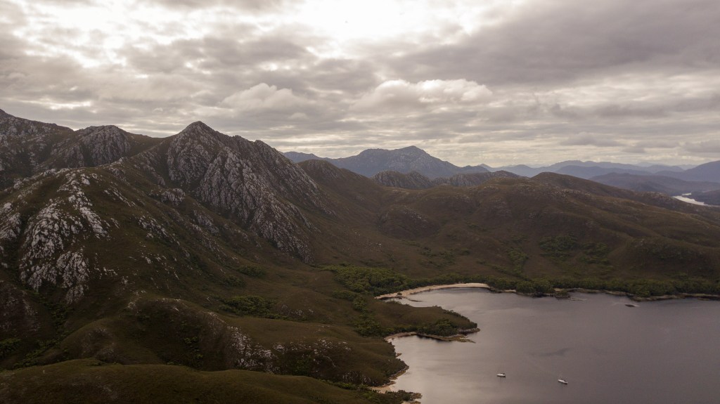
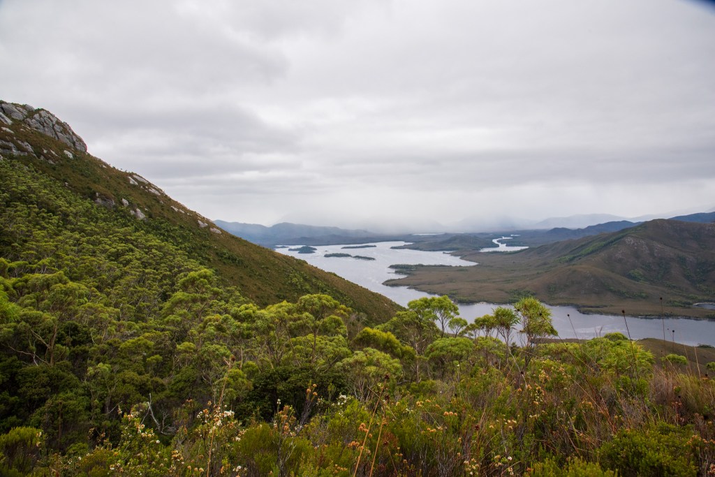
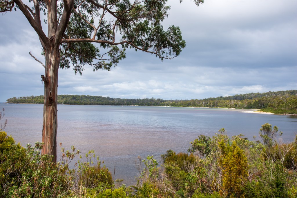
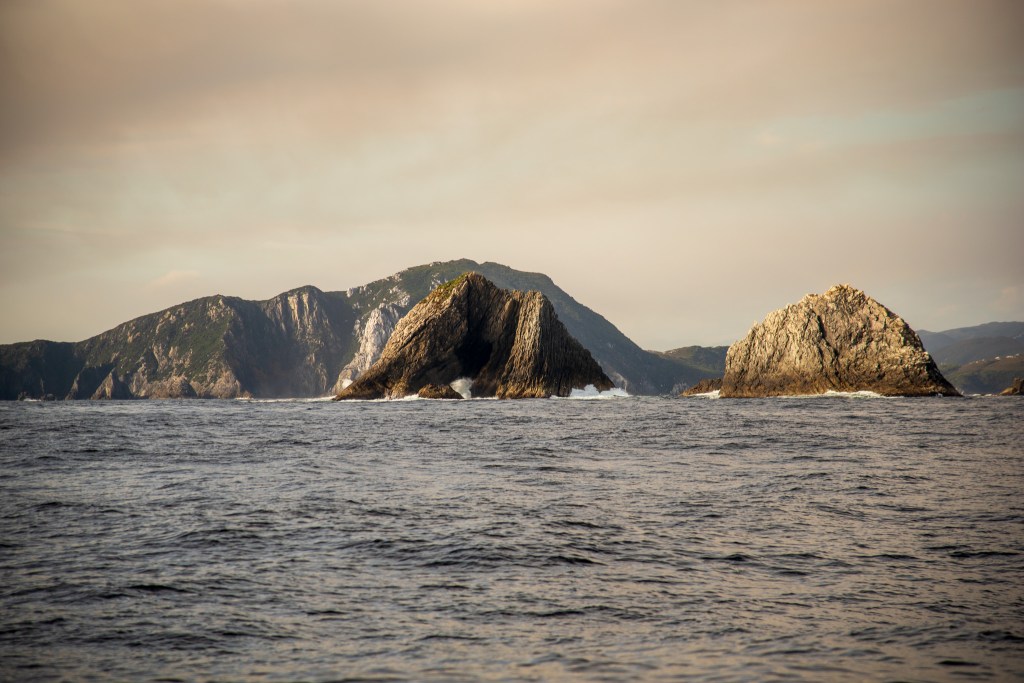
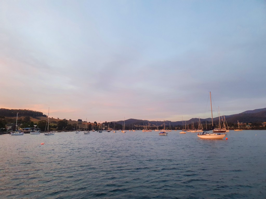
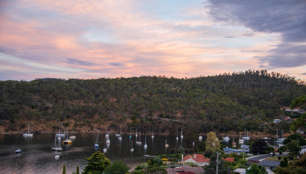
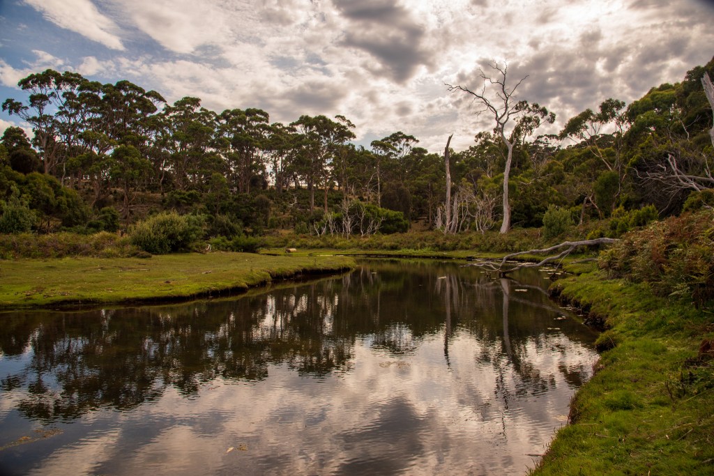
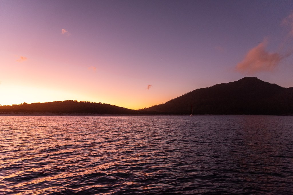
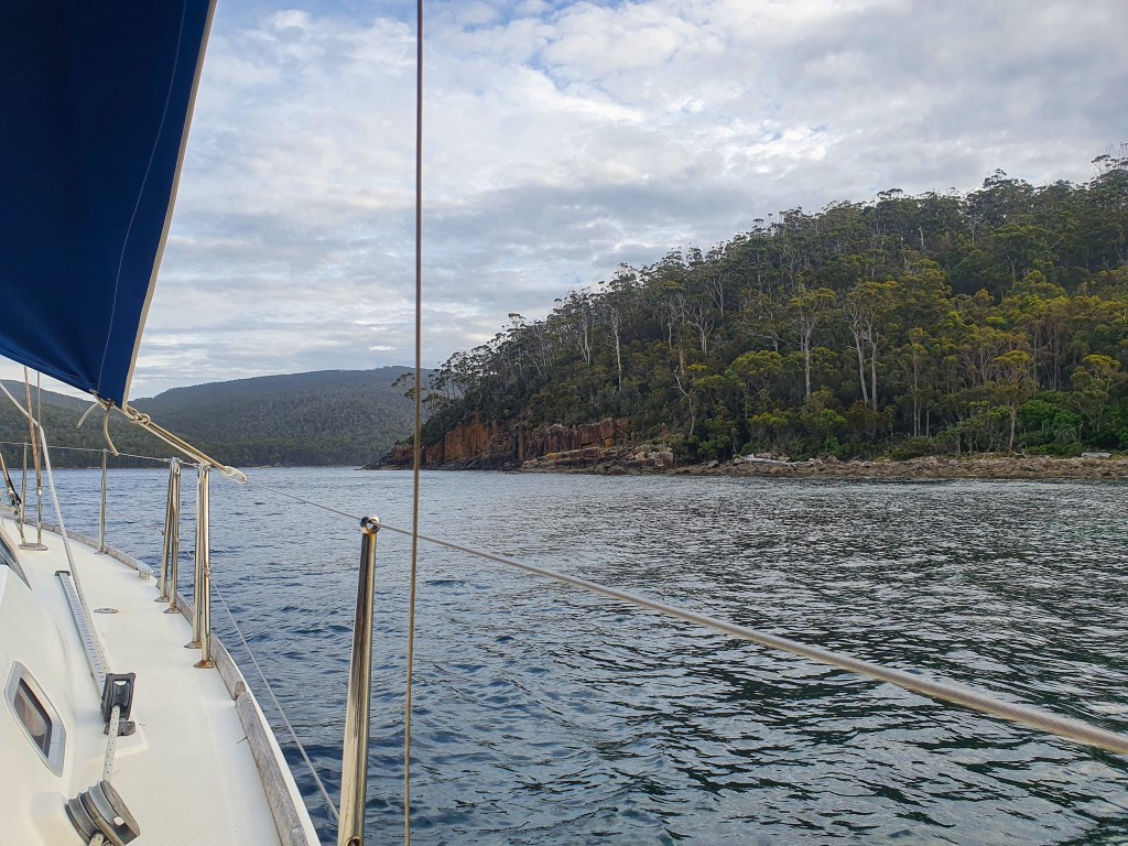
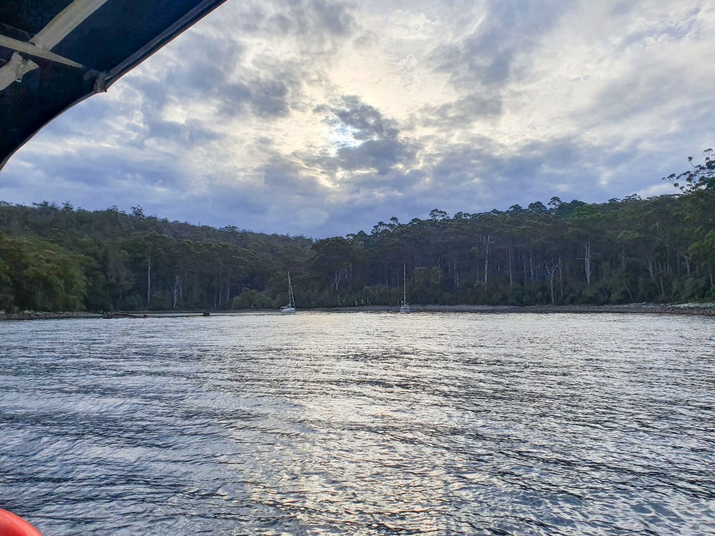
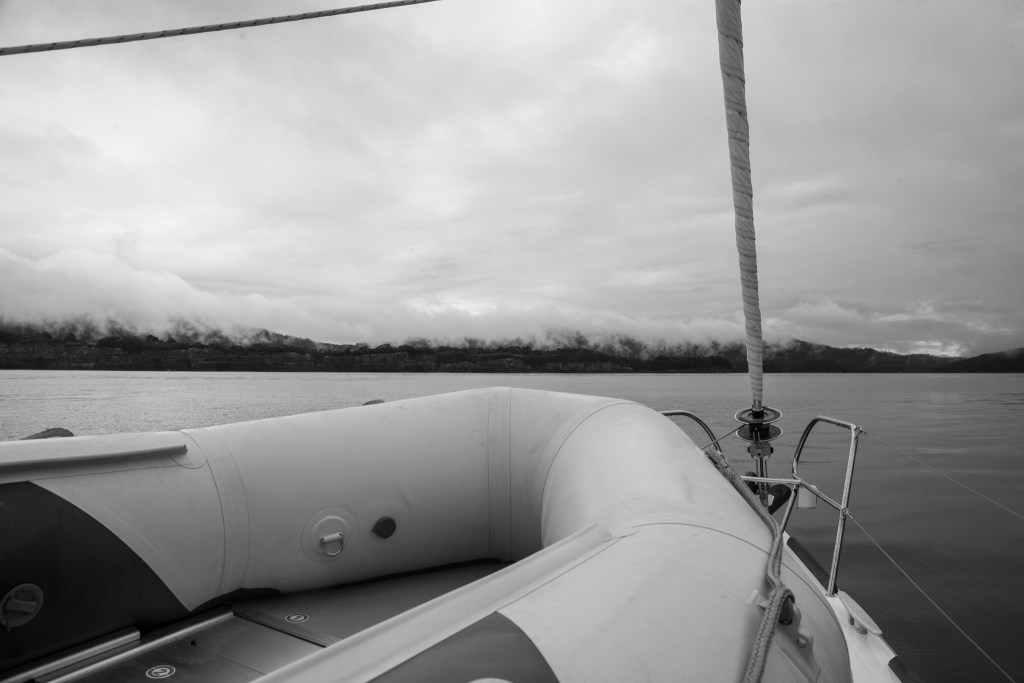
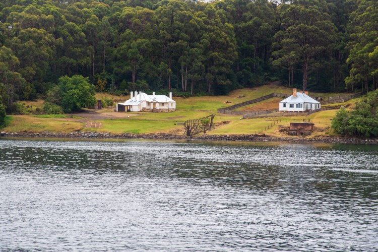
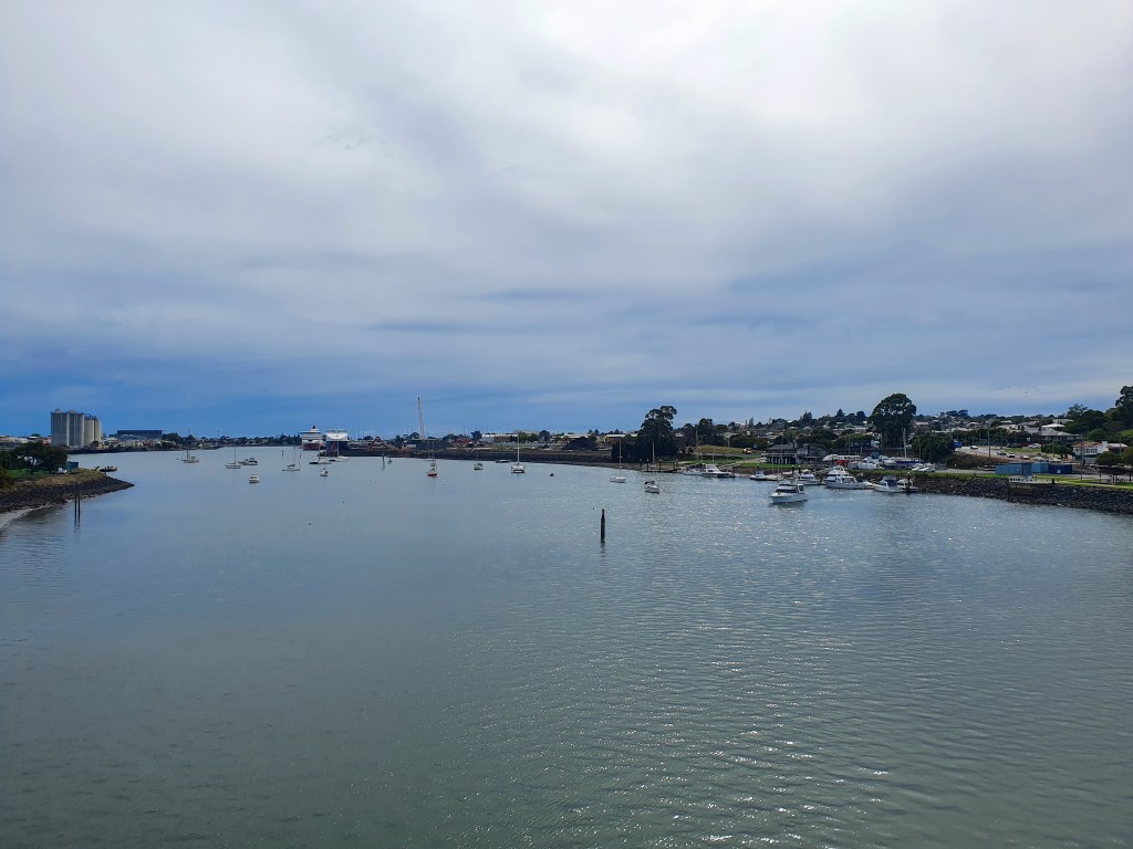
After leaving the Gordon River, we ducked into the very pretty Birch’s Inlet and anchored just on sunset. A check of the weather forecast confirmed that we were still good for our overnight passage to the Three Hummocks the next day and so we readied the boat and went to bed. Super still and flat water greeted us for our final morning in Macquarie Harbour as we motored back out to Hells Gates.

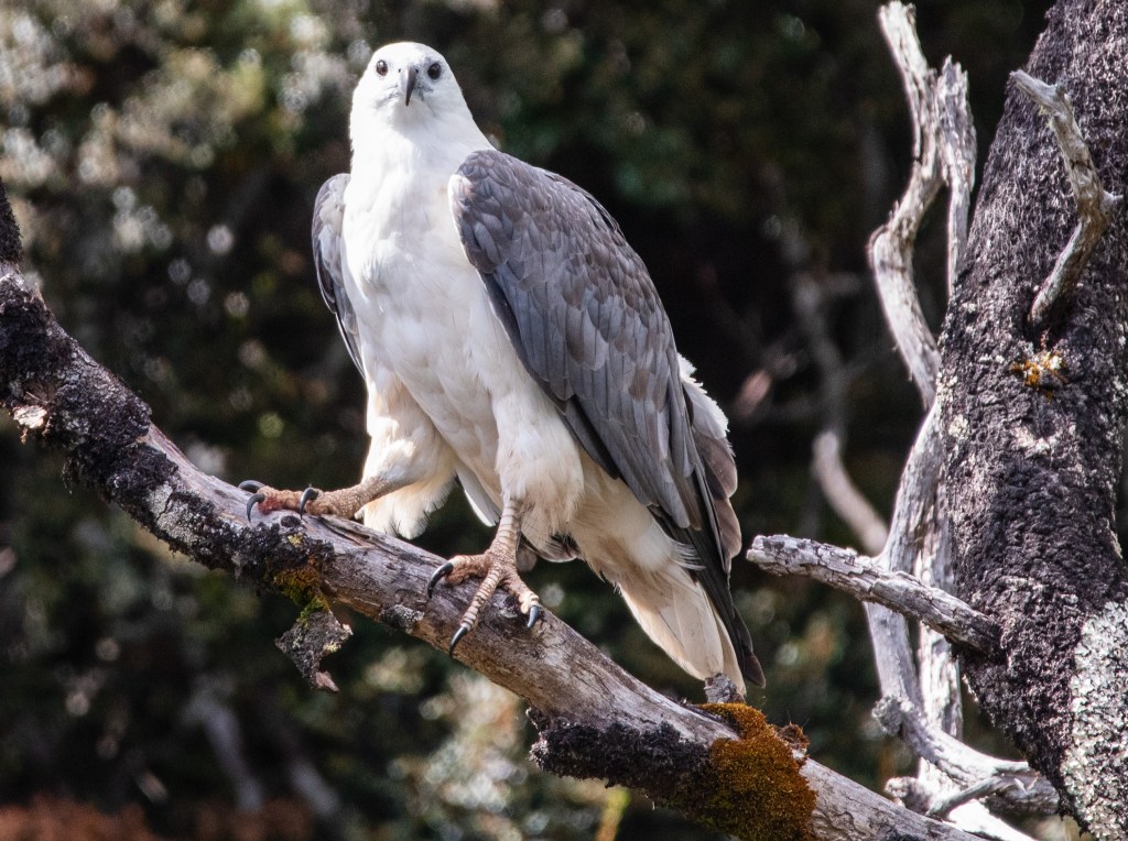
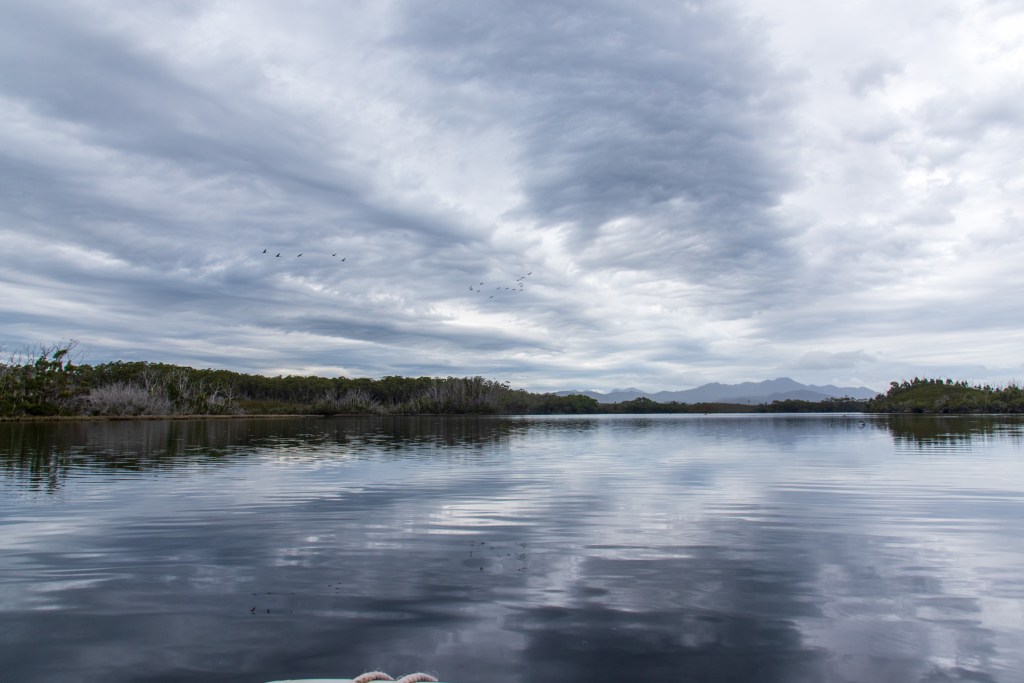
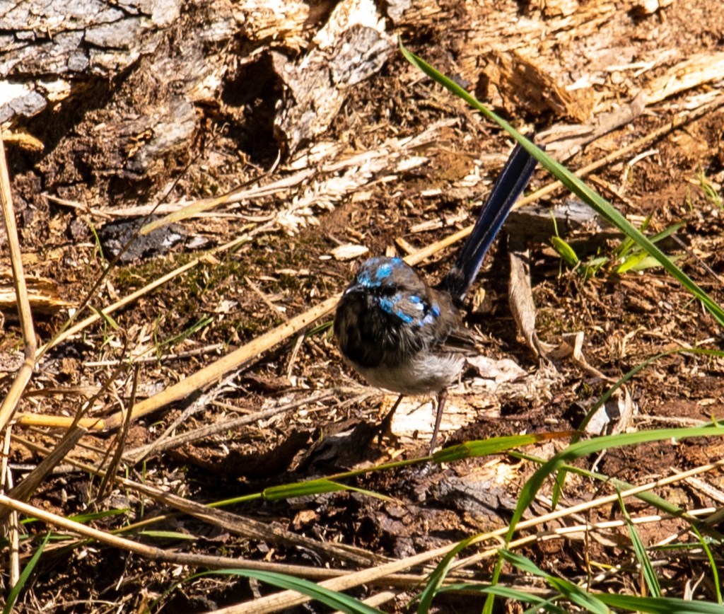
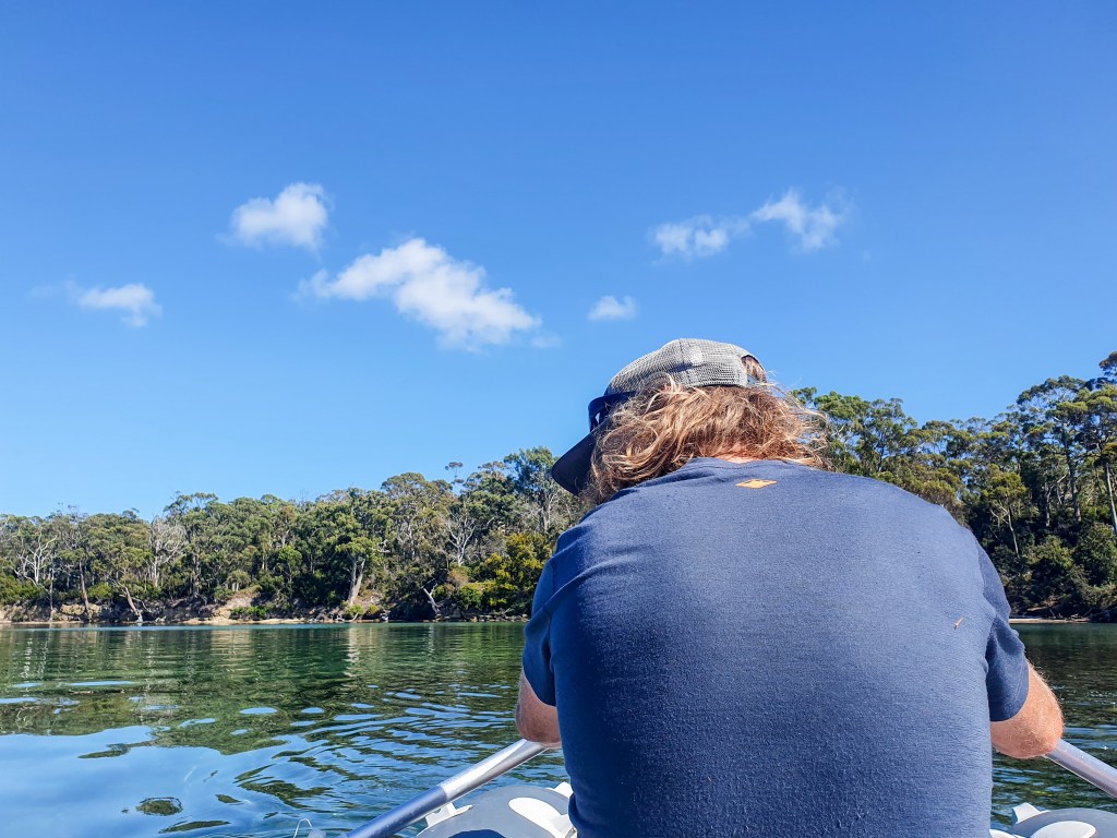
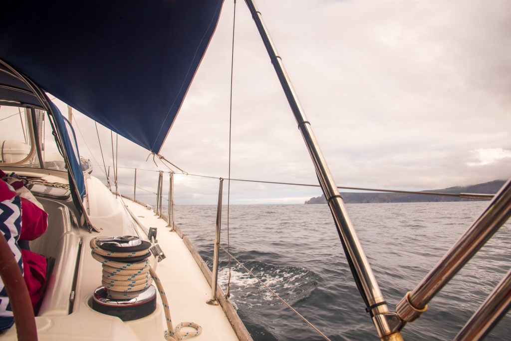
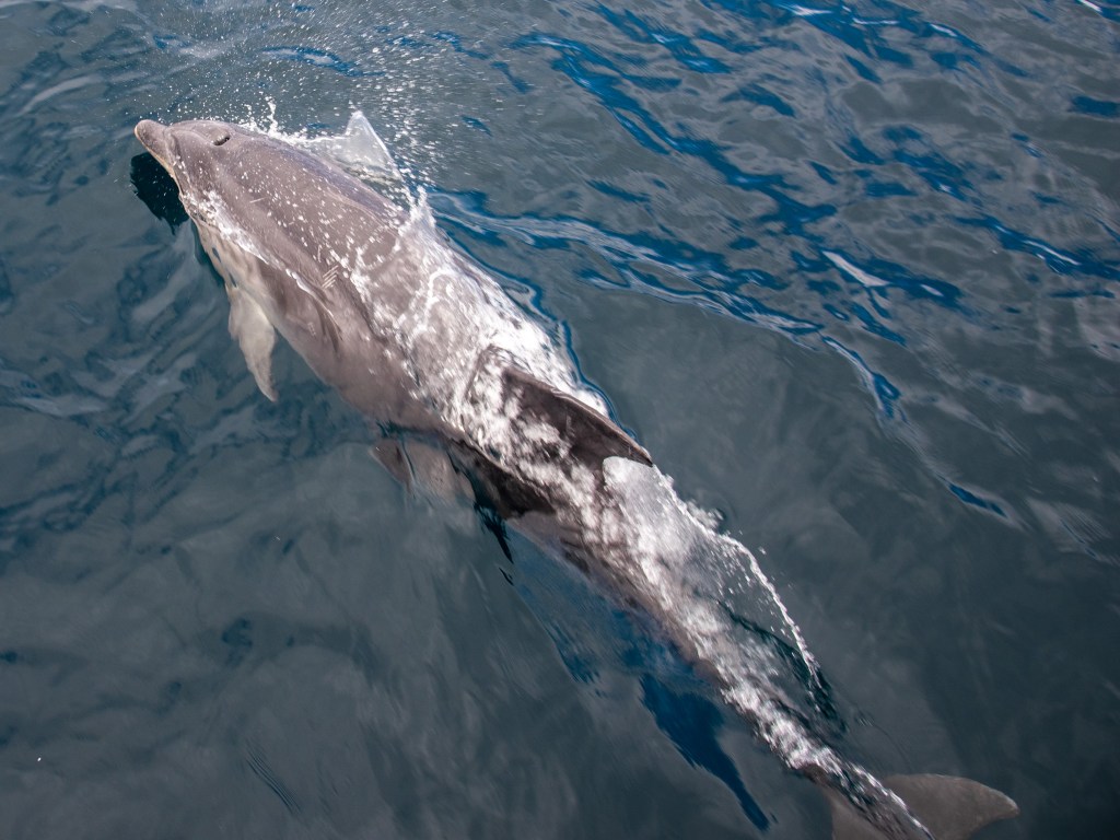
All was calm as we passed out through the heads and pointed Cool Change north. The four metre swell was off our side for a while, but with very light winds, all was ok. The light winds remained and we motored, putting out the headsail to motor sail when the winds did eventually pick up to ten knots and then fifteen knots, all from the south. I felt pretty ok, and we had a refreshingly uneventful passage, swapping shifts throughout the night. Dolphins, seals and an albatross all came to visit at times.

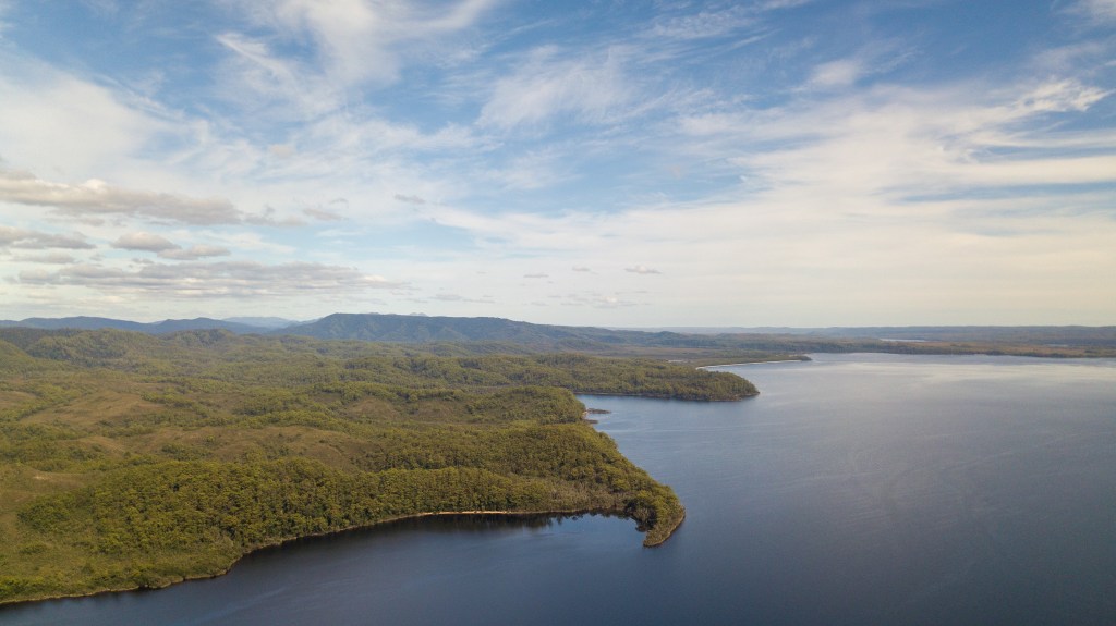
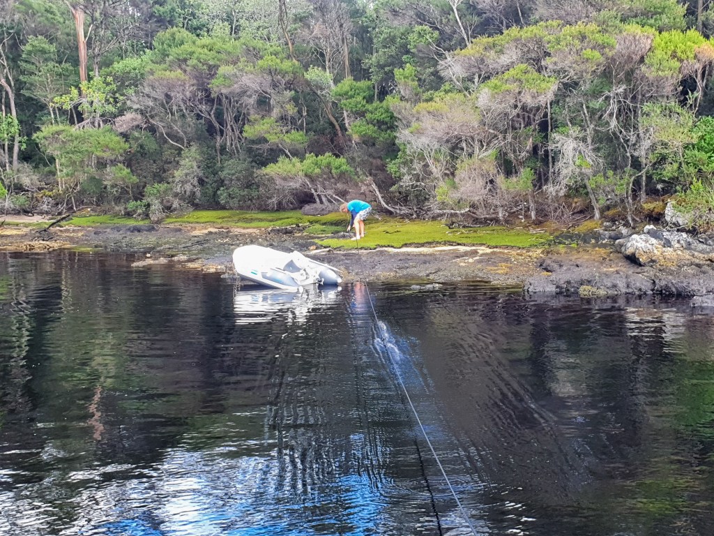
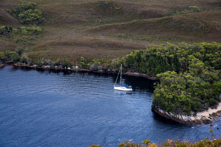
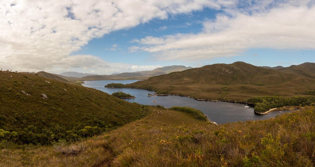
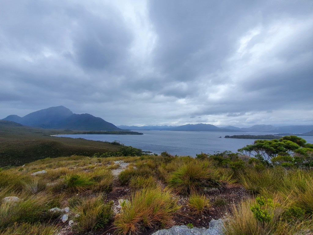
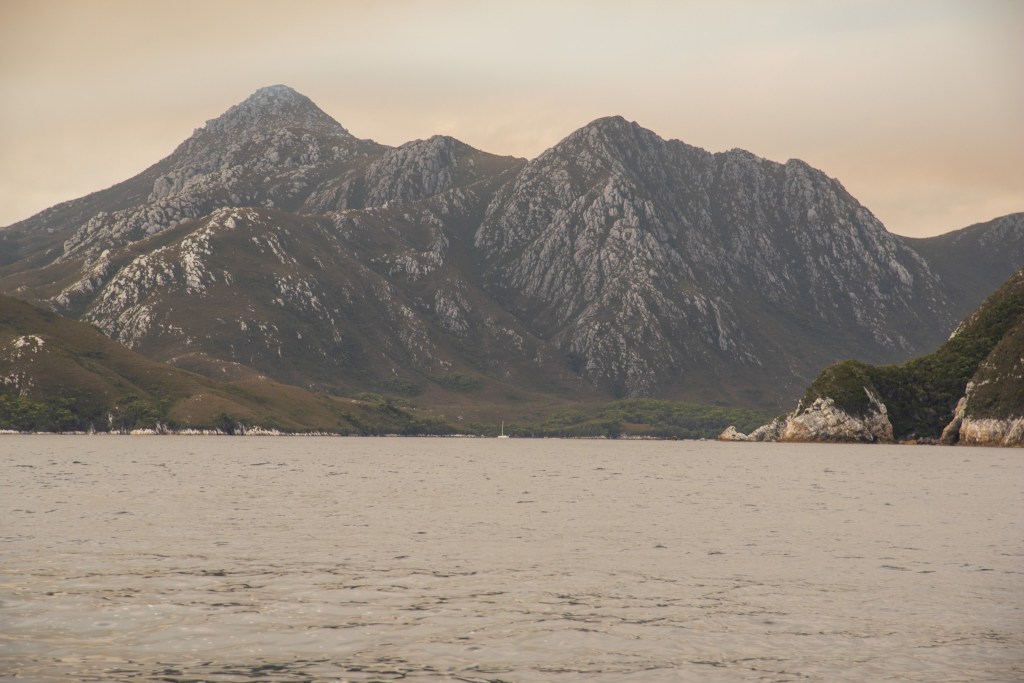
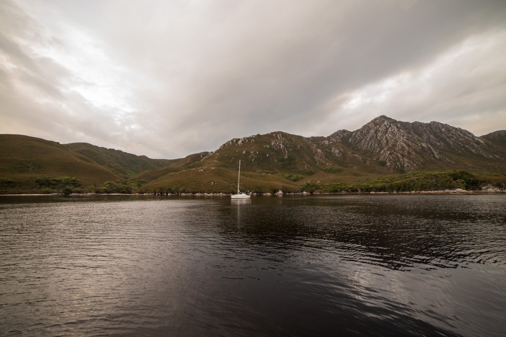
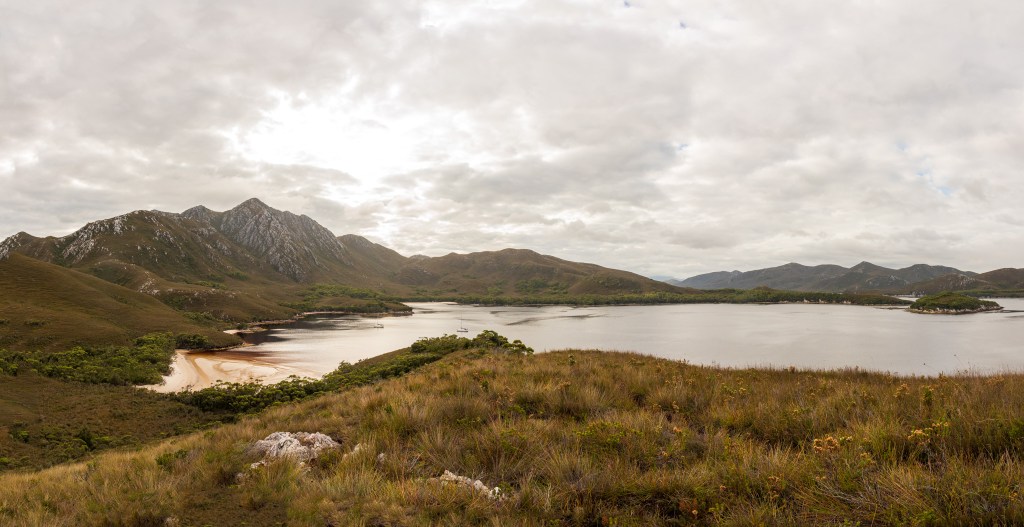
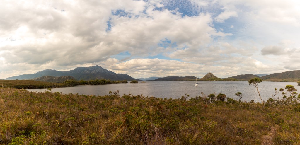
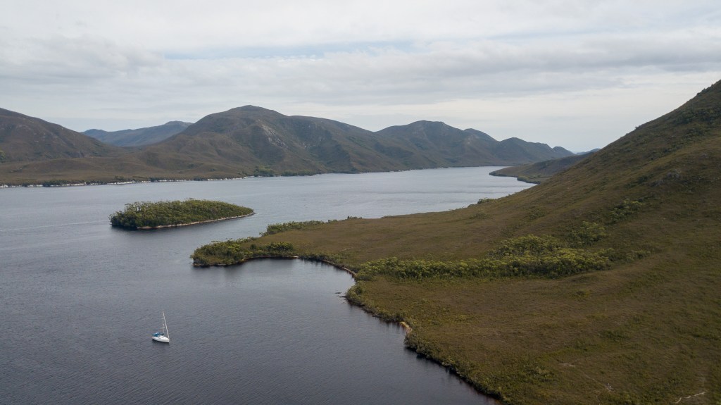
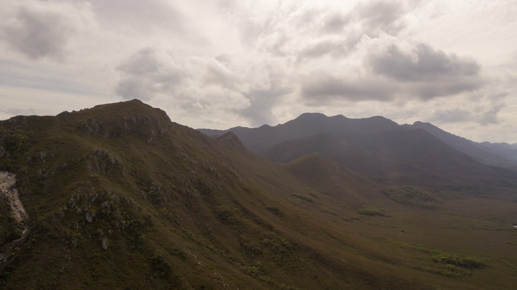
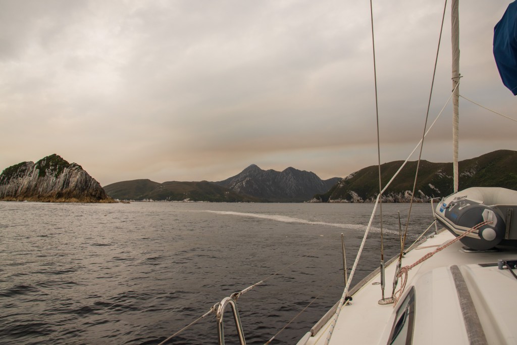
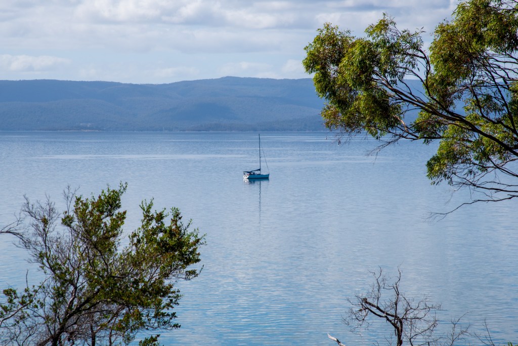
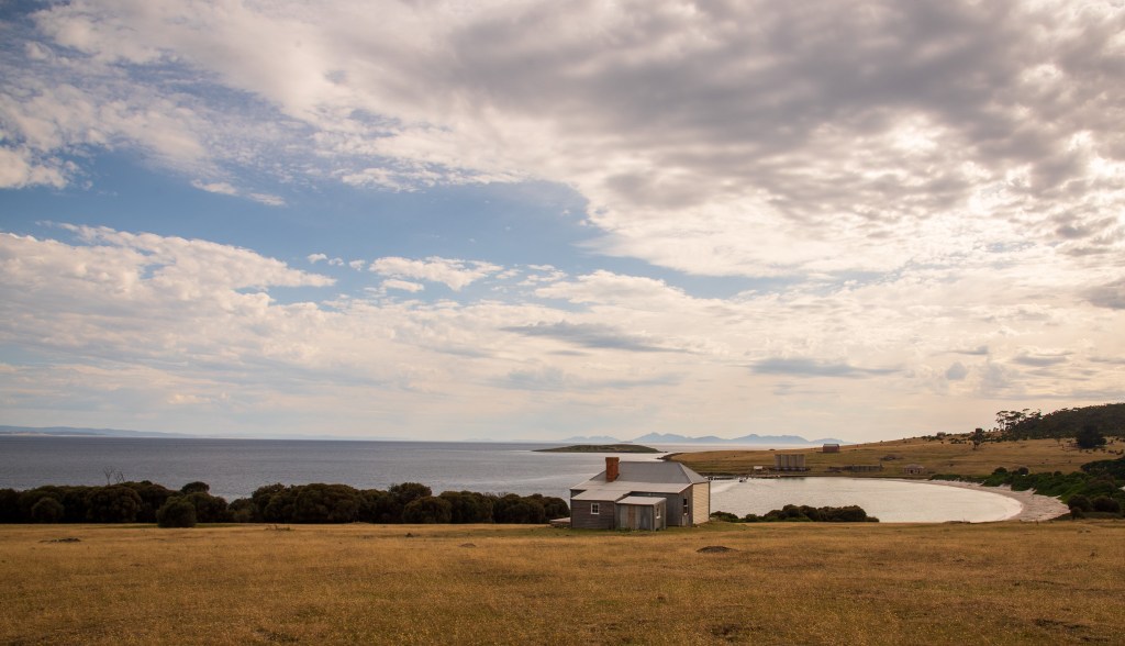
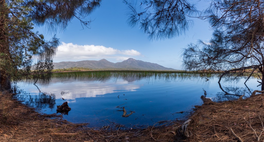
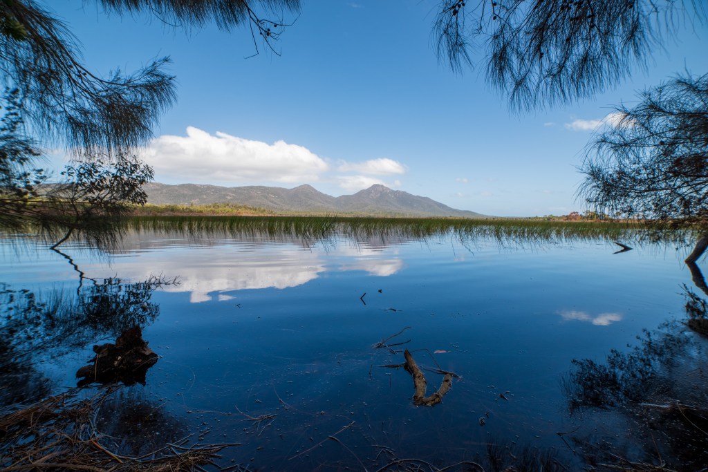
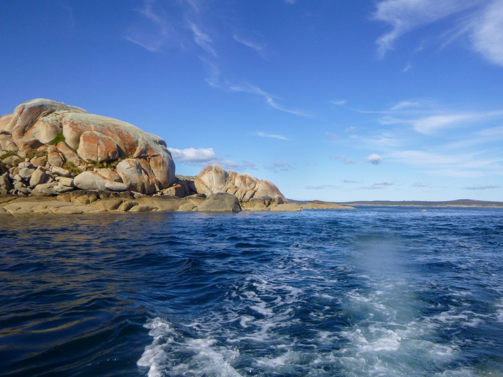
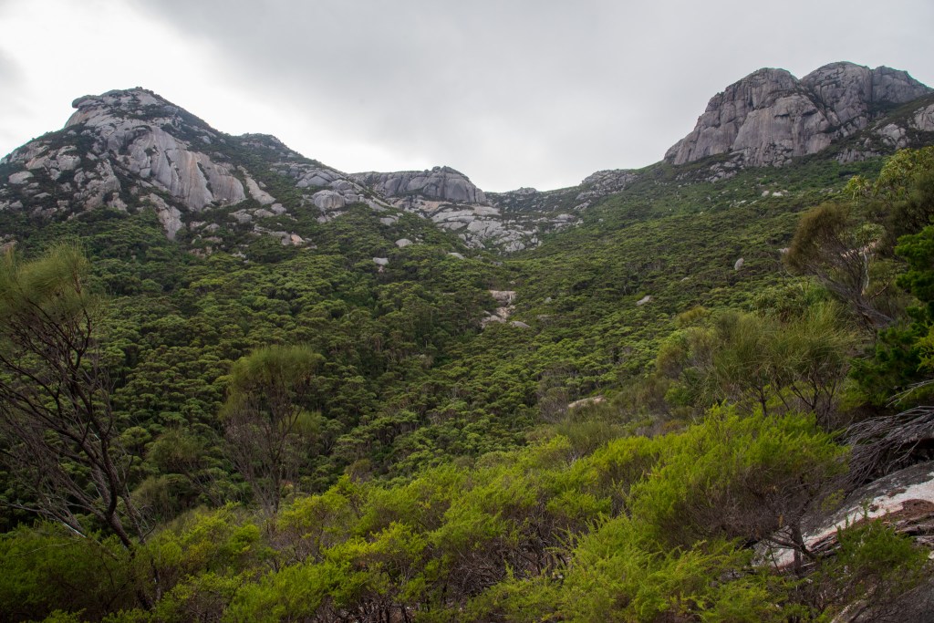
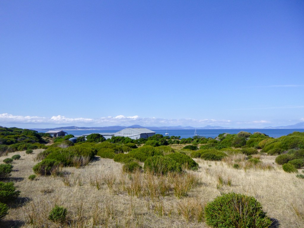
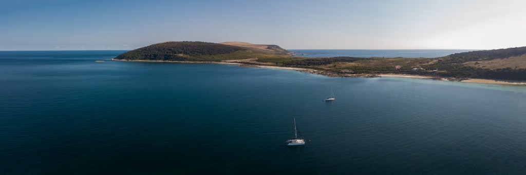
It was fairly early when we anchored in Coulomb Bay on Three Hummock Island, ready for a good meal and a good sleep. Unfortunately it was rolly, rolly, rolly in the anchorage so we dragged our tired bodies to the shore for a bit of a break and a walk to stretch our legs. Jumping back into the tender, we were swamped by a wave and I was suddenly drenched. Ditching any ideas of further exploration, we headed straight back to the boat where I changed into dry clothes and we pulled our anchor, motoring further north around the island to try to find a less rolly anchorage. After assessing several options, we decided on Rafe Bay at the top of the island.

Cool Change anchored in Coulomb Bay, Three Hummock Island
Coulomb Bay, Three Hummock Island

Although the island was very pretty, we were very tired and not really in the right frame of mind to enjoy it. The weather forecast was telling us that if we stayed much longer, then we’d be staying a whole lot longer, as the winds were picking up and changing to an easterly. East was the way we needed to go, so it was pretty much go now, or be stuck here for a while. It was a pretty easy decision; we bit the bullet and signed up for another overnighter, making the most of the light winds and light seas to make distance all the way to Devonport.

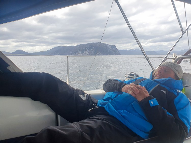
We spent the afternoon on the boat resting and trying to stay warm. It was absolutely freezing. It was also very, very flat and still. The alarm was set at 1 am for us to get up and head off. And bless his cotton socks, when the alarm went off, Matt got up and said he could manage pulling the anchor on his own. Conditions were calm and it was an easy exit out of the anchorage into the open seas.

So I snuggled back into the doonas and went to sleep. Waking at 6.30 am to relieve Matt, I found us motoring along in light winds and light seas – very smooth ‘sailing!’ Matt went to bed and I sat below wrapped up in blankets. I felt fine, and soon enough we had internet and phone reception. I rang the Mersey Yacht Club in Devonport and booked us a berth. I also contacted my friend Ceiny, who lives in Devonport, arranging to meet up the following evening.

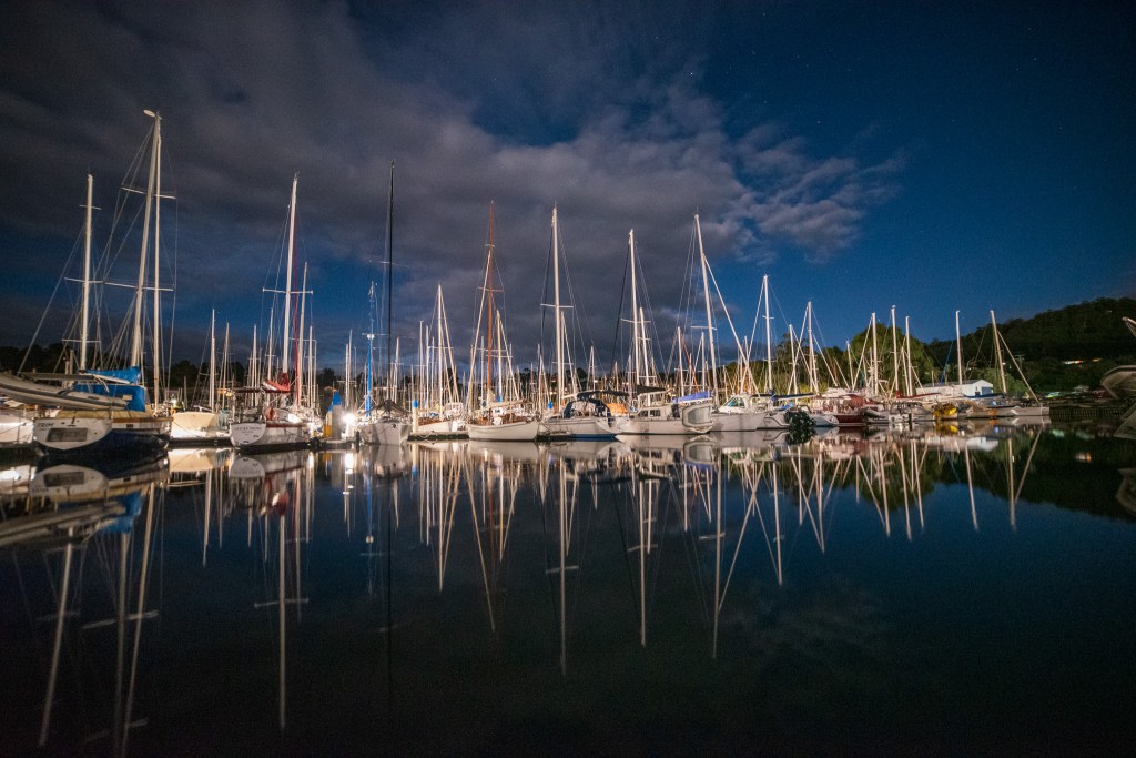
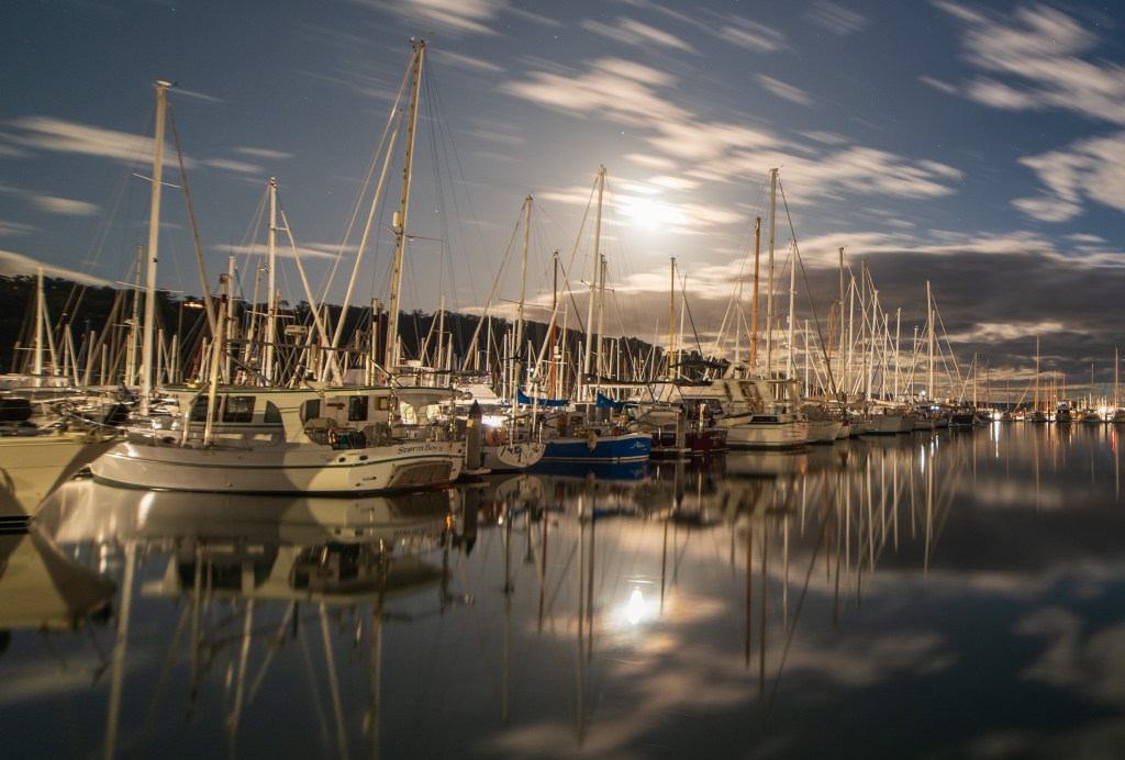
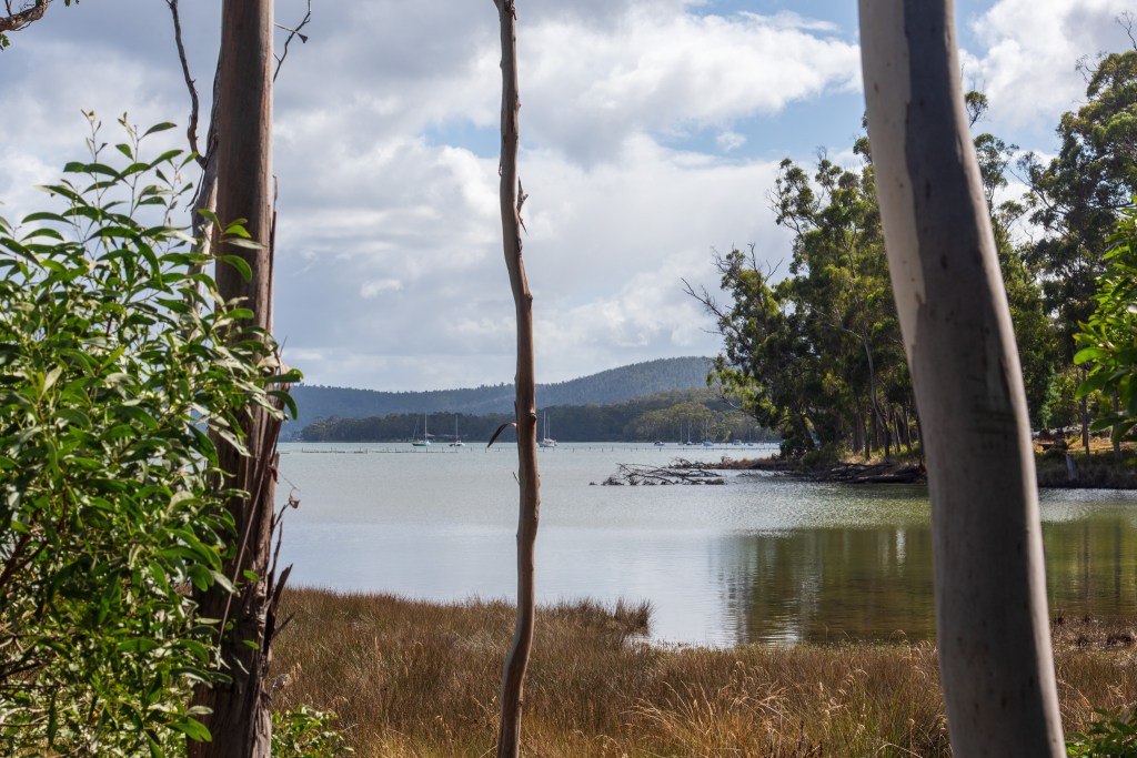
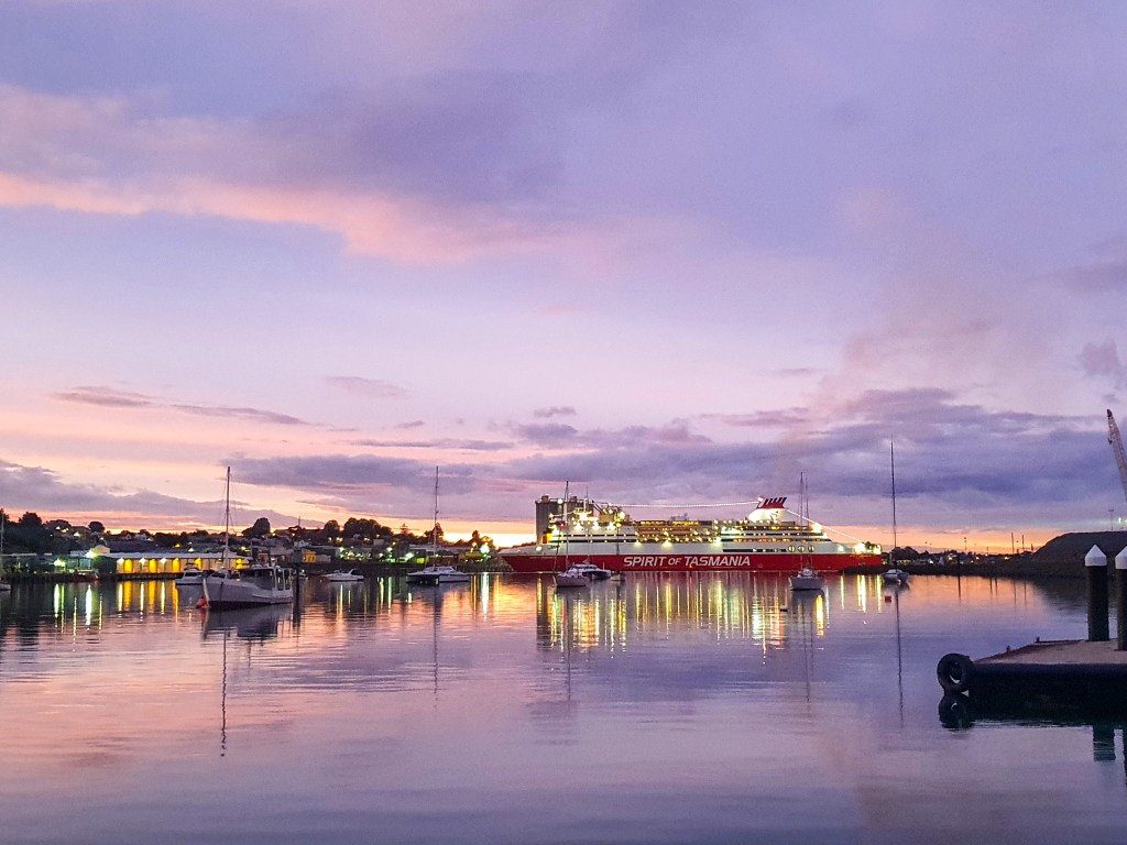
The day sort of flew by, and before long we were approaching the Mersey River. Matt emerged and we motored into Devonport. It was a very industrial area, with the small yacht club tucked in just past the Spirit of Tasmania. We tied up smack bang out the front and headed for the showers.

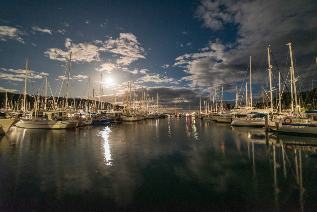
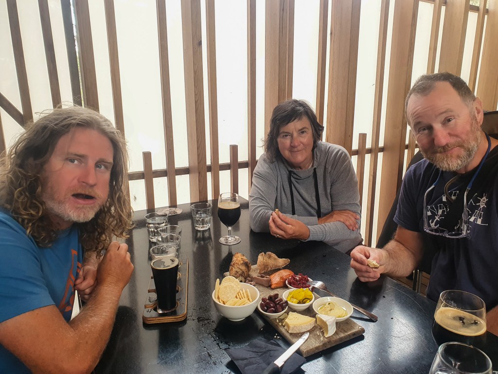
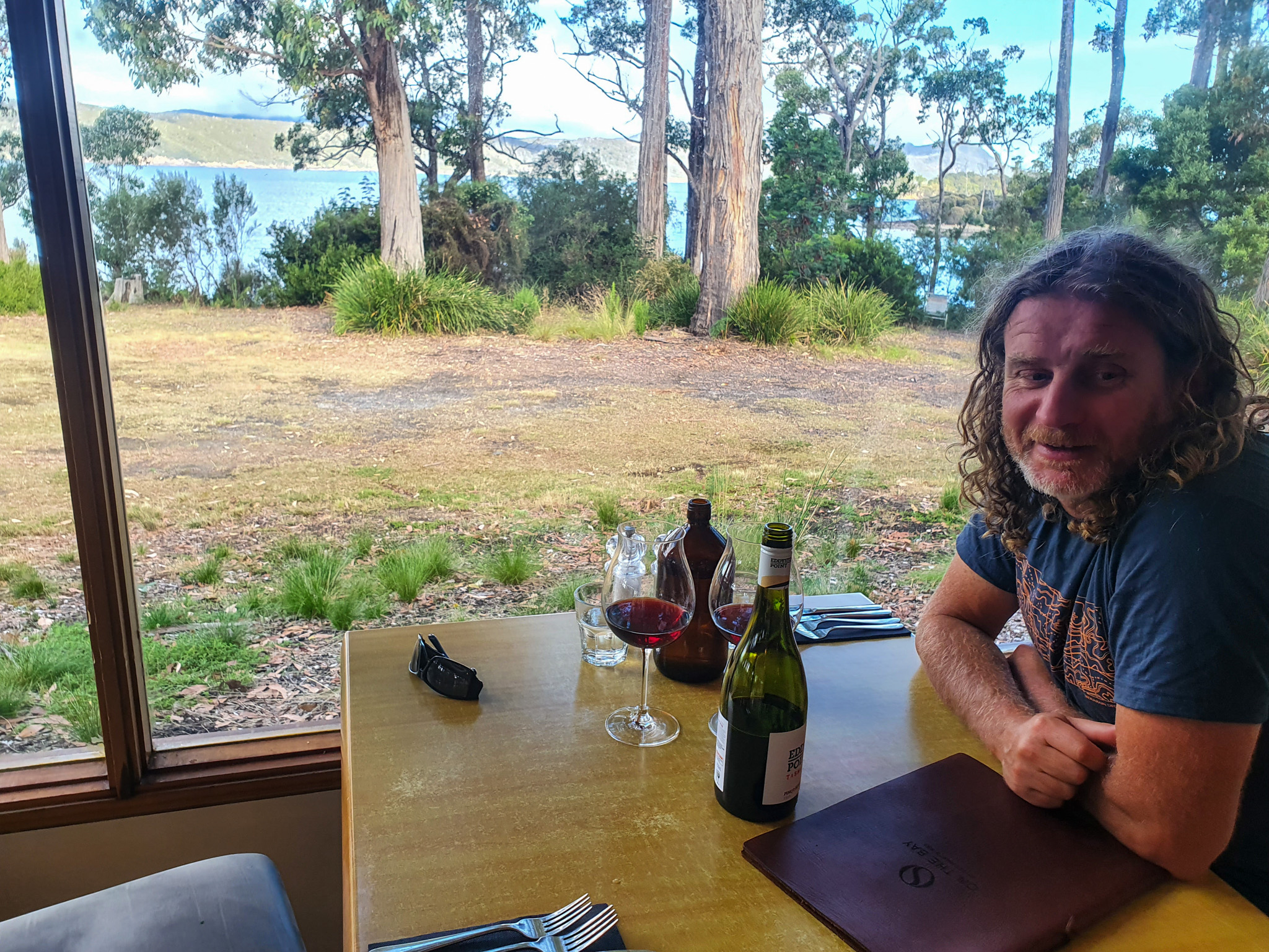
We ended up staying in Devonport for four nights, extending our stay by a couple of days when a gale force wind warning was given for the strait. Highlights were catching up with my friend Ceiny and her twin girls, who took us out to ‘The Central’ for dinner, as well as having Mitch, the guy who bought Matt’s last fishing boat, over to the yacht for drinks. It was lovely to see our friends and have some company.

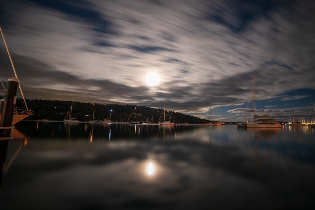
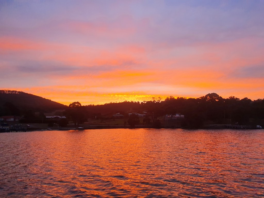
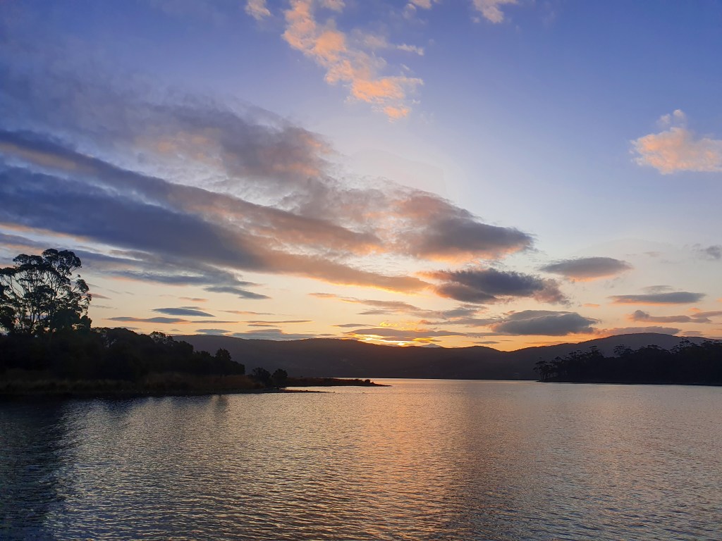
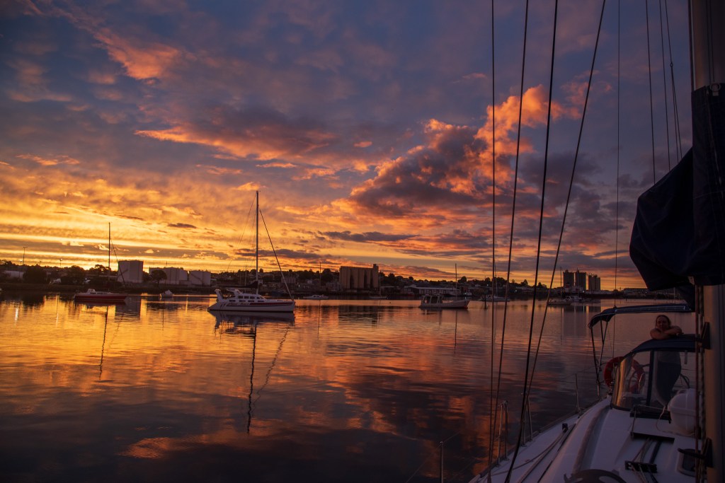
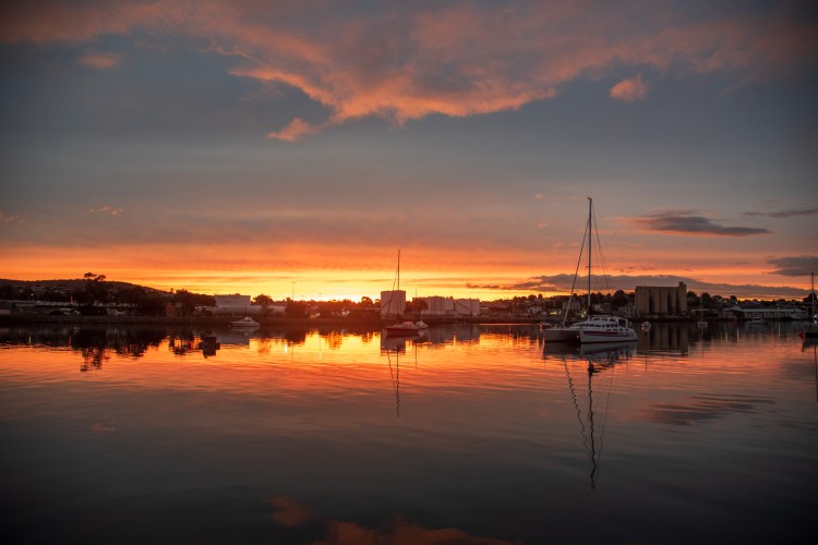
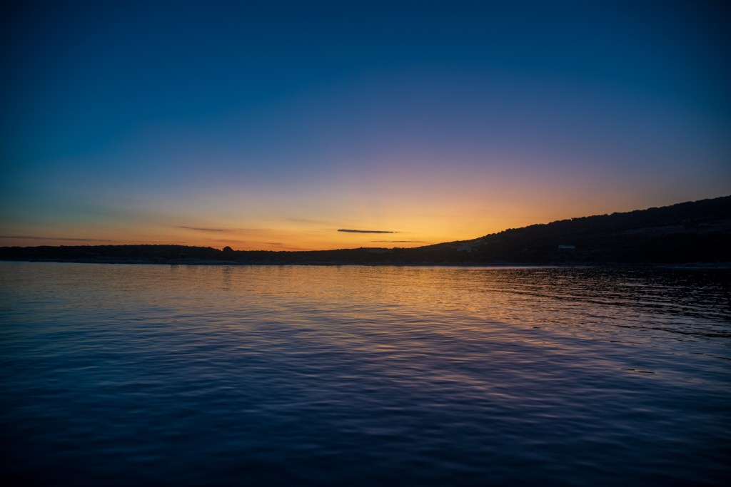
We spent the days doing jobs and wandering into town. The weather was warmer and we saw a couple of incredible sunsets over the river. But we were just killing time. The clock was ticking and I was all too aware that I was due up in Cairns in just over a month to start work.

Mersey Yacht Club, Devonport
Mersey River, Devonport
Sunset, Mersey River, Devonport
Spirit of Tasmania, Mersey River, Devonport

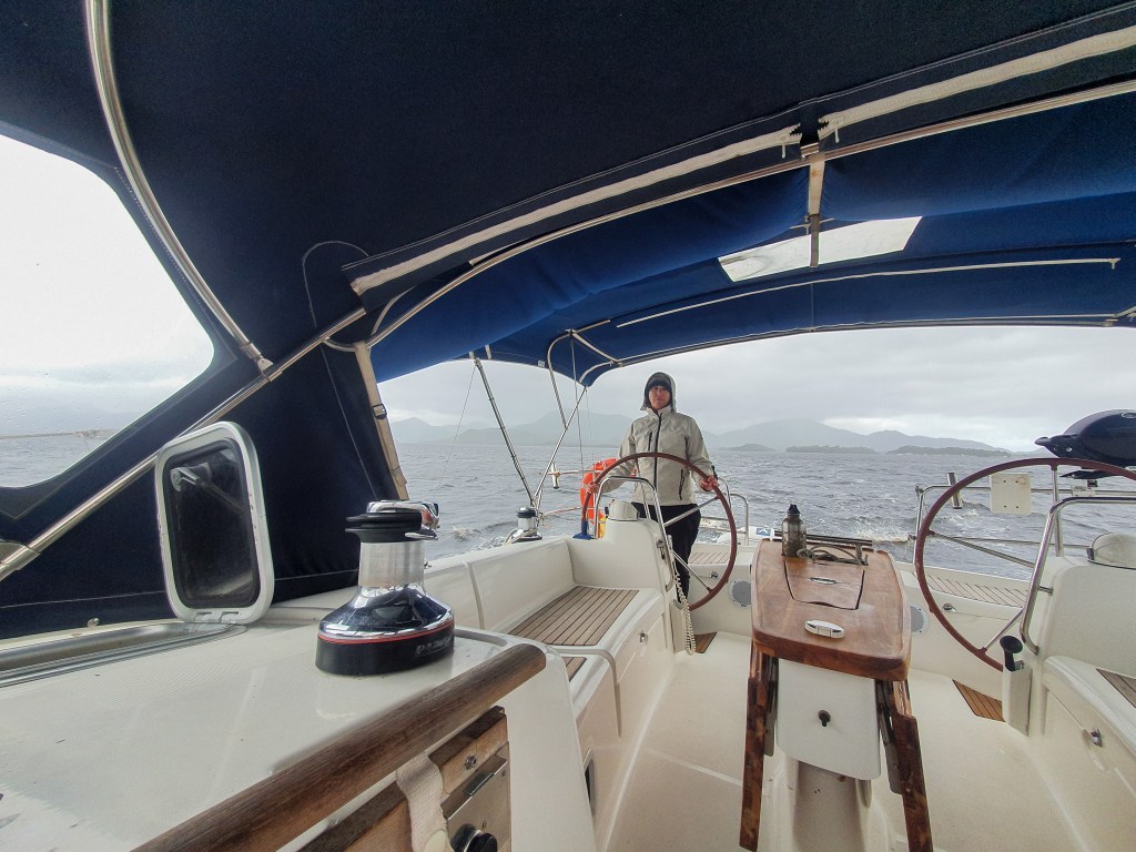
After four days, we had a window to go. Once the channel was clear of ships we set off but almost as soon as we left the river, I felt sick. There were short, sharp waves rocking the boat and it was very uncomfortable. We sailed with both the main and the headsail, and when the winds reached over 25 knots we dropped the main, sailing with just the headsail. I pretty much stayed in bed all day, feeling crappy, and left Matt to it. Fortunately for him the sun was out and he had quite a nice sail.

It was late in the afternoon when we anchored at Mattingsley Beach near Bridport and it was a bit rolly on anchor, so I was glad it was just a short overnight stop. The weather conditions were looking more promising tomorrow and I was hoping fervently for a better day. And a better day it was. The seas were calmer, with waves only around a metre and the sun was out. Thank God.

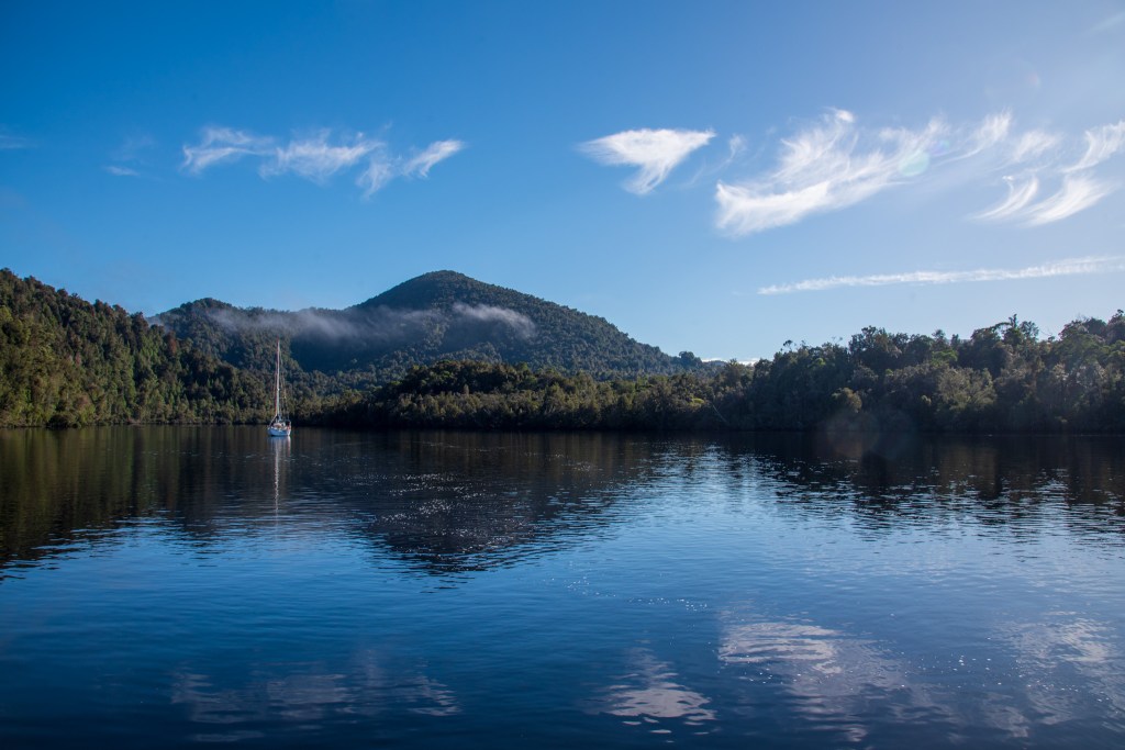
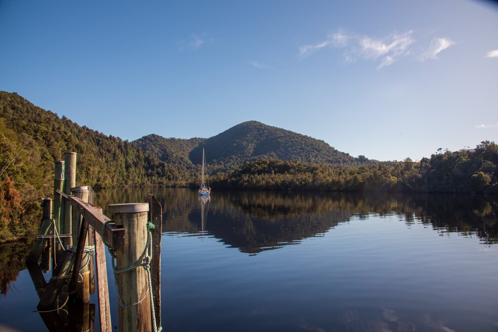
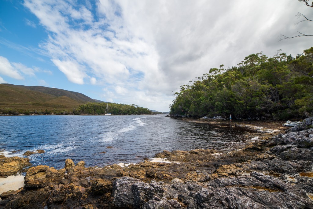
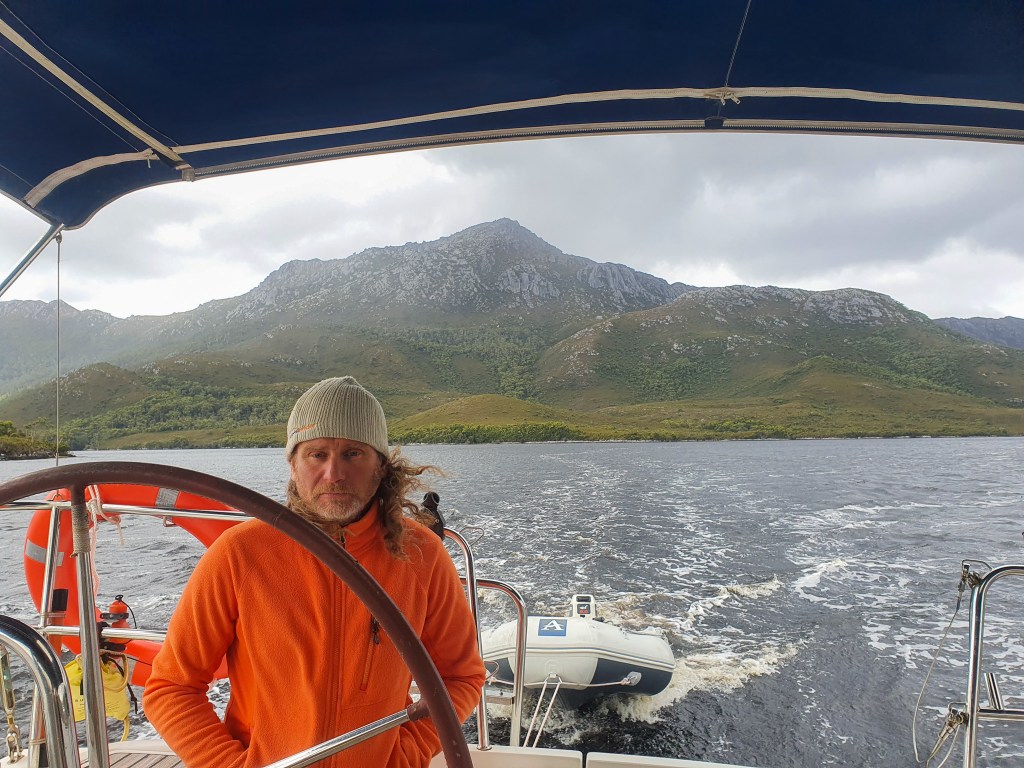
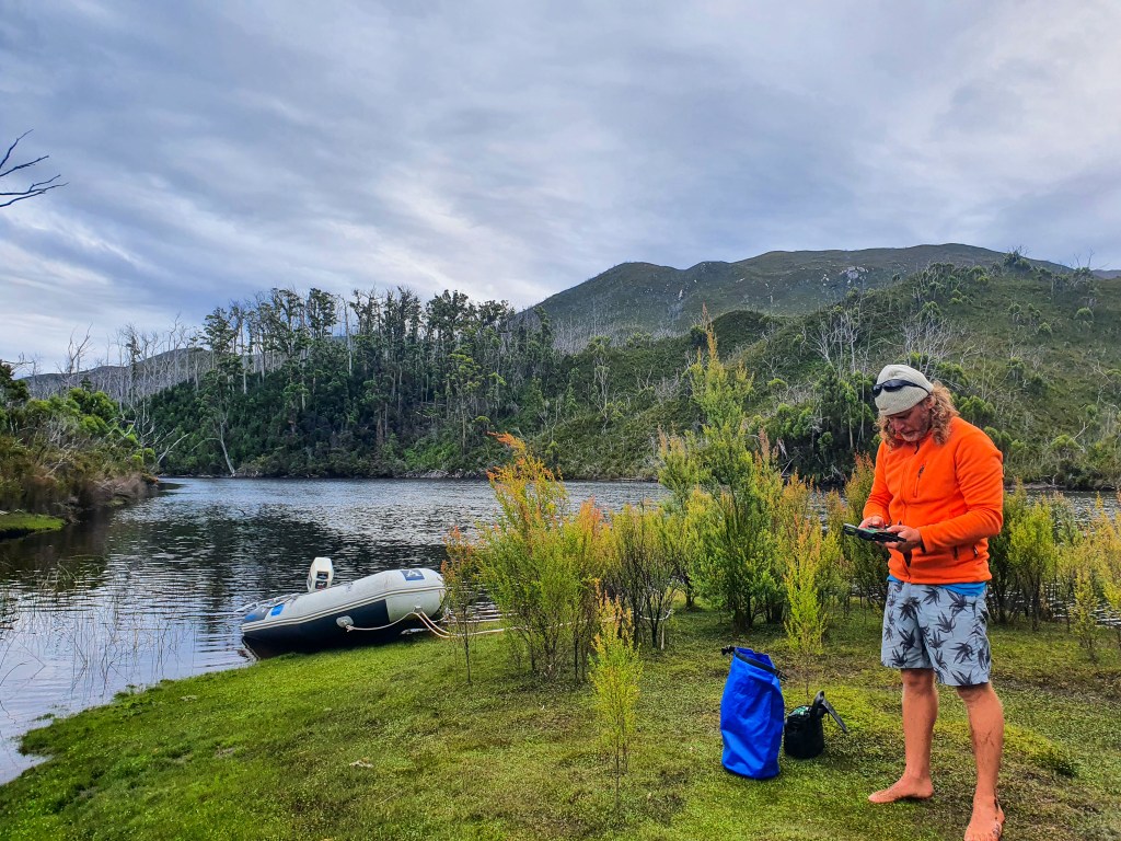
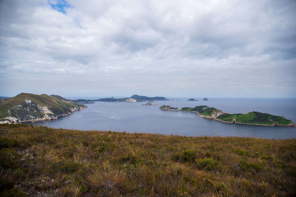
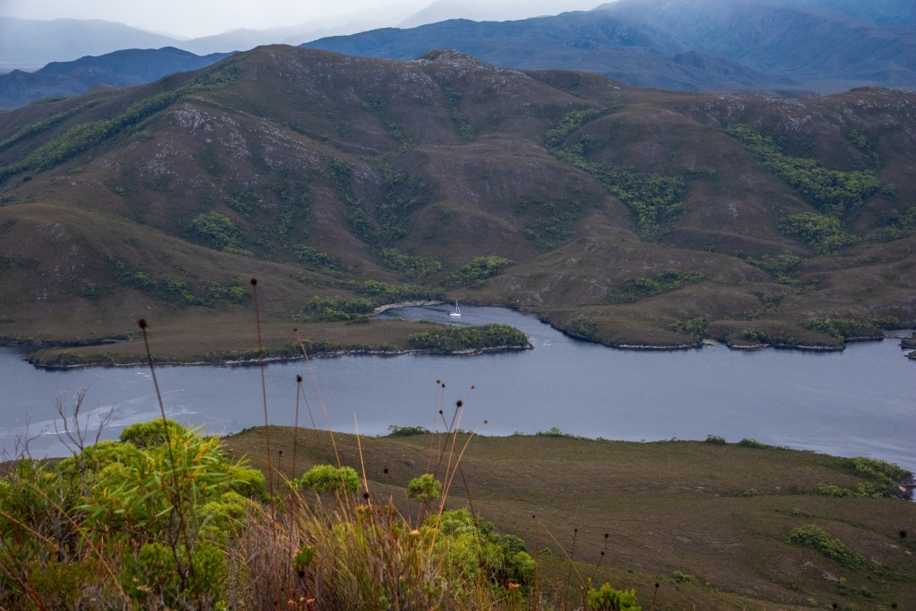
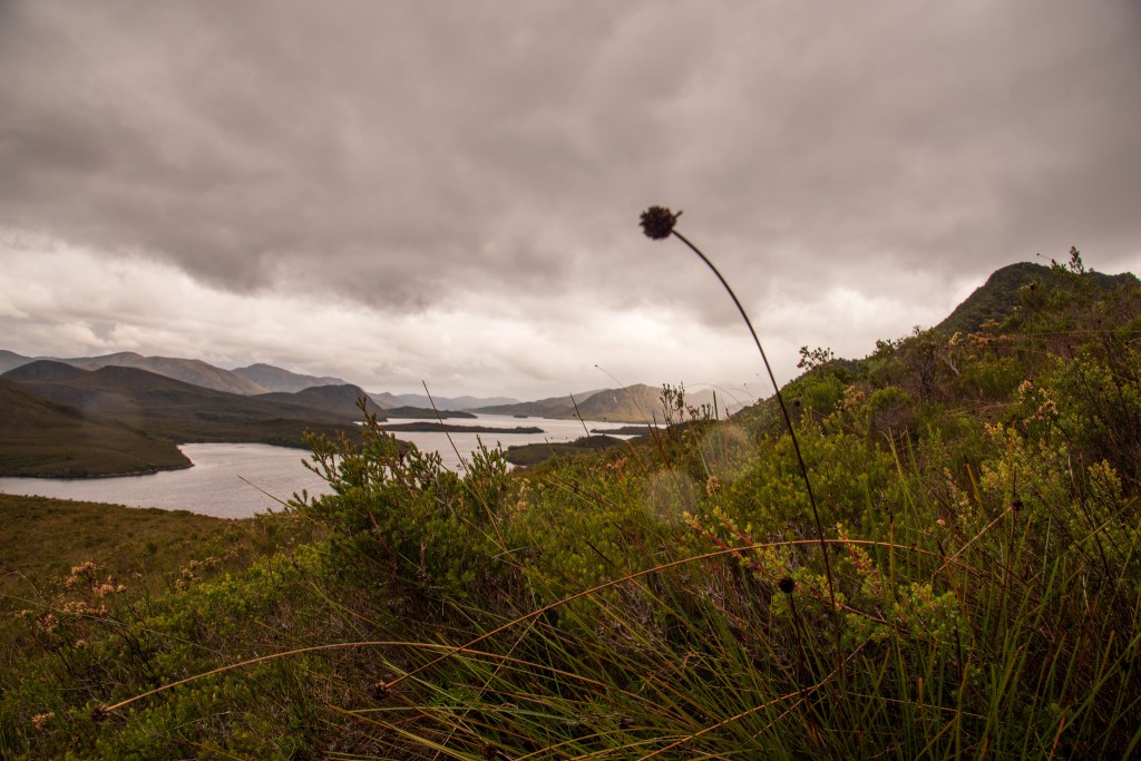
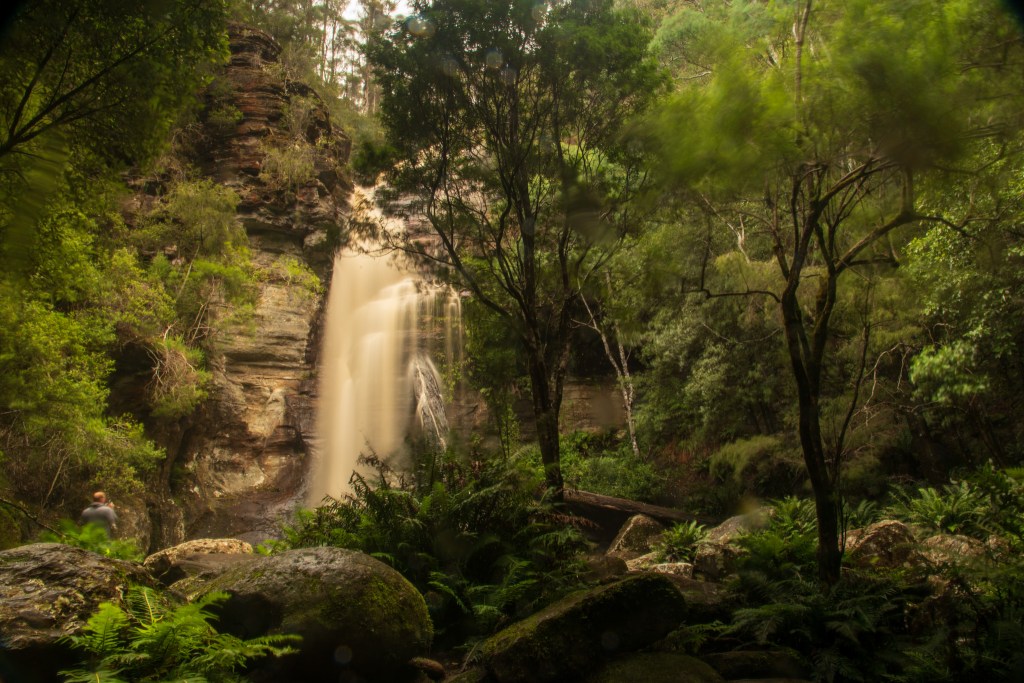
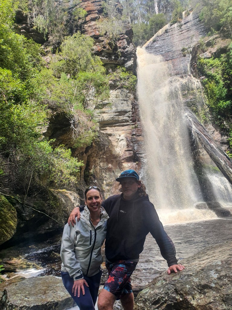
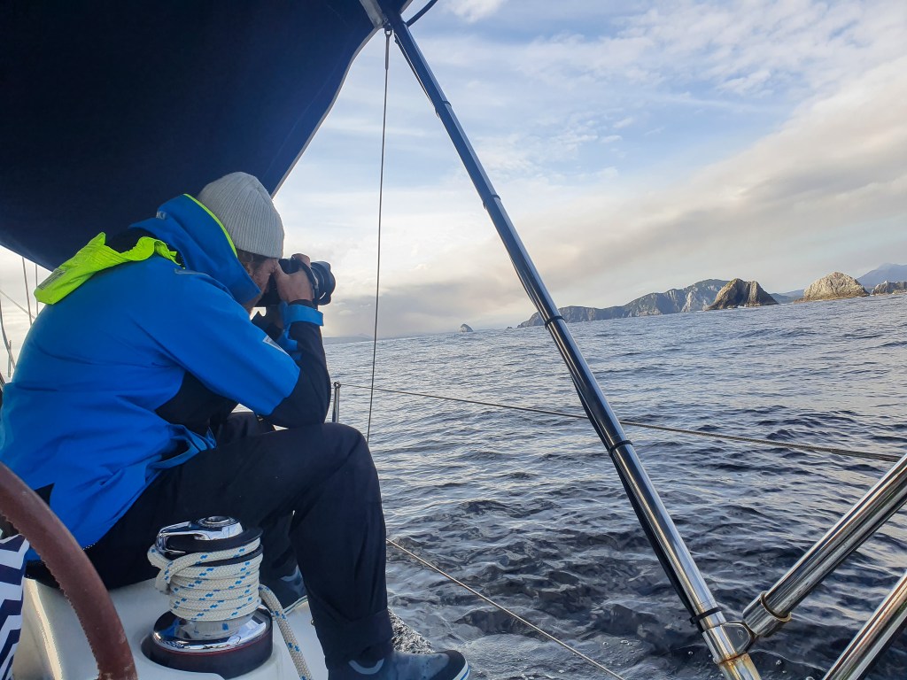
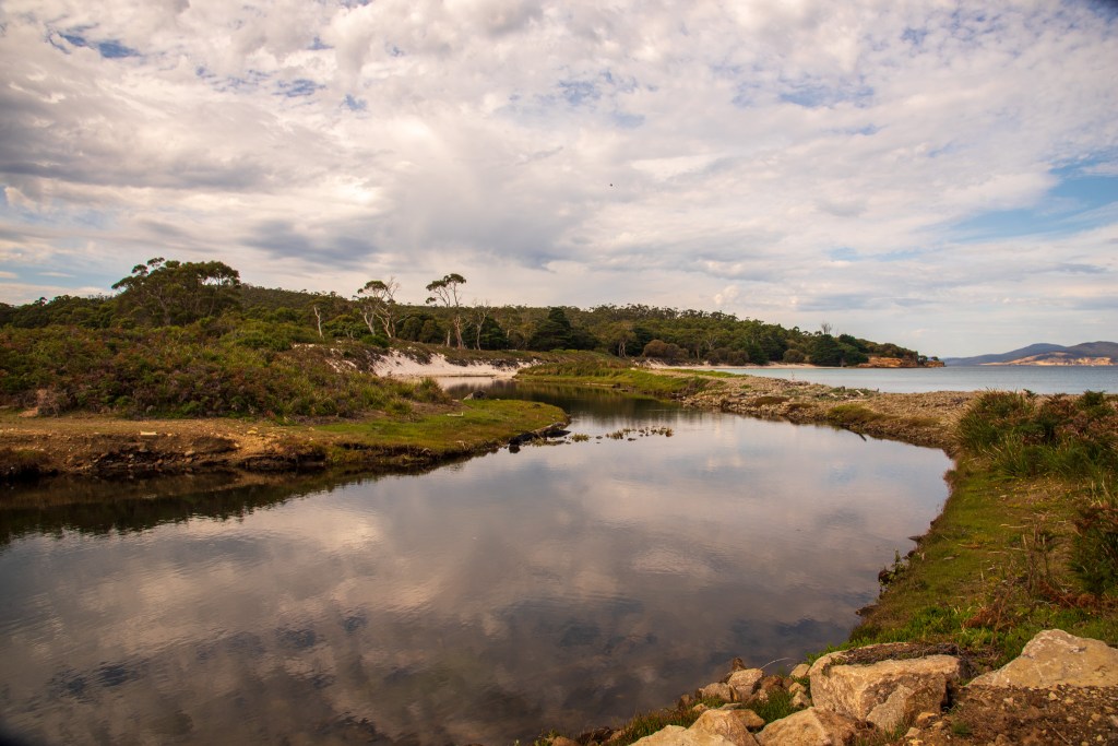
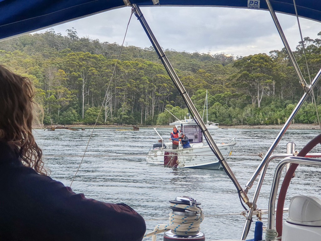
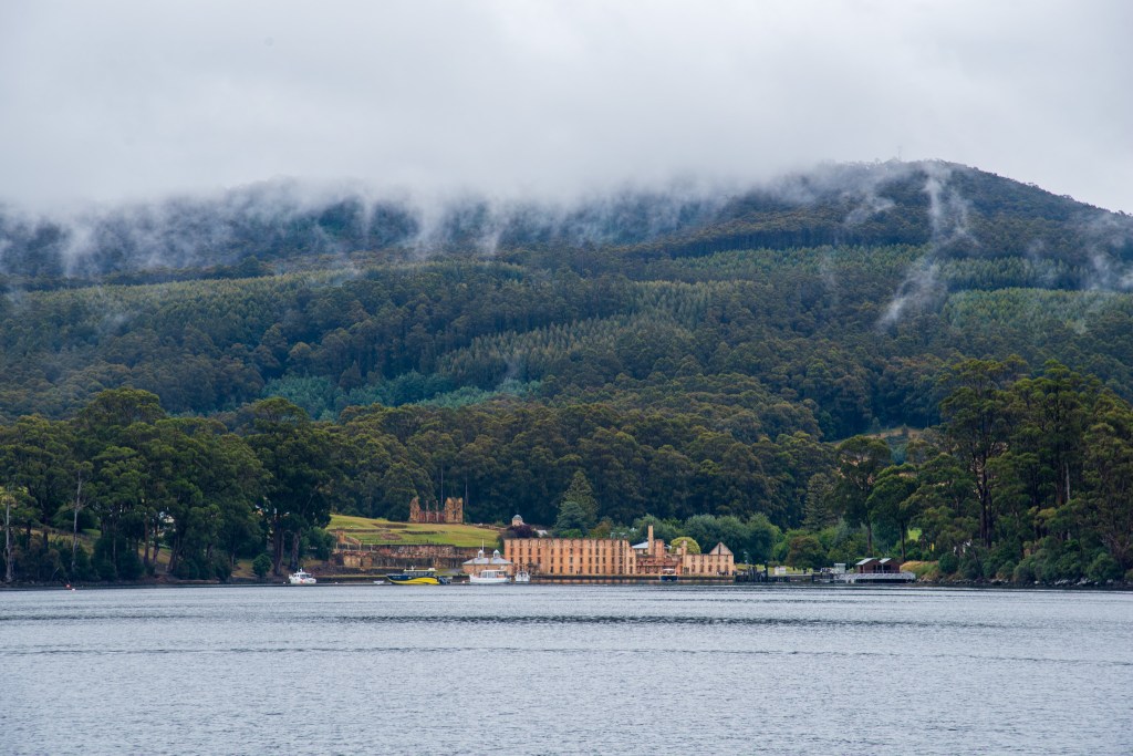
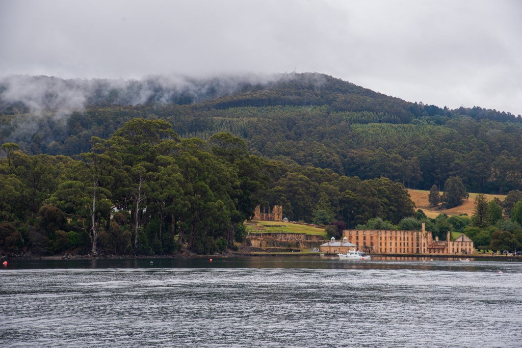
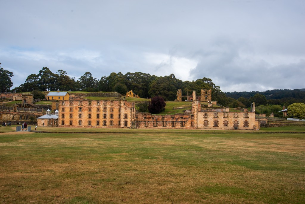
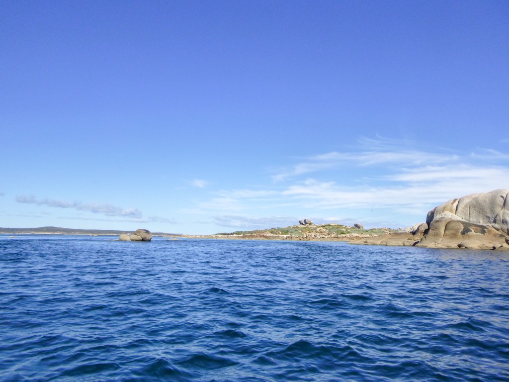
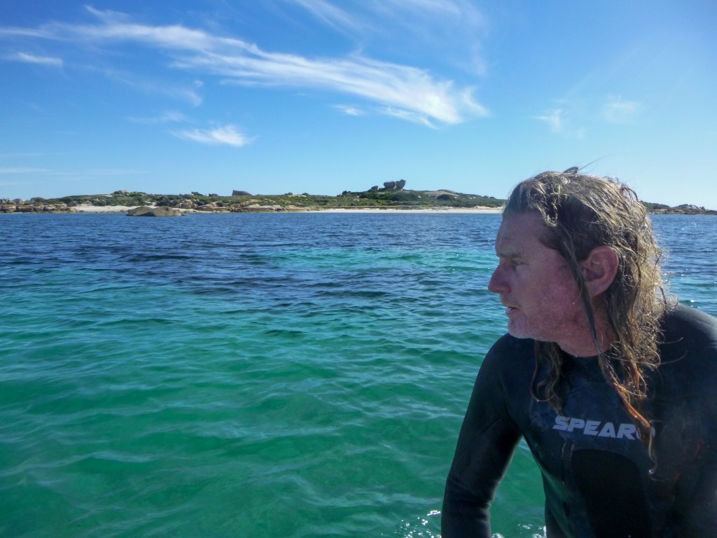
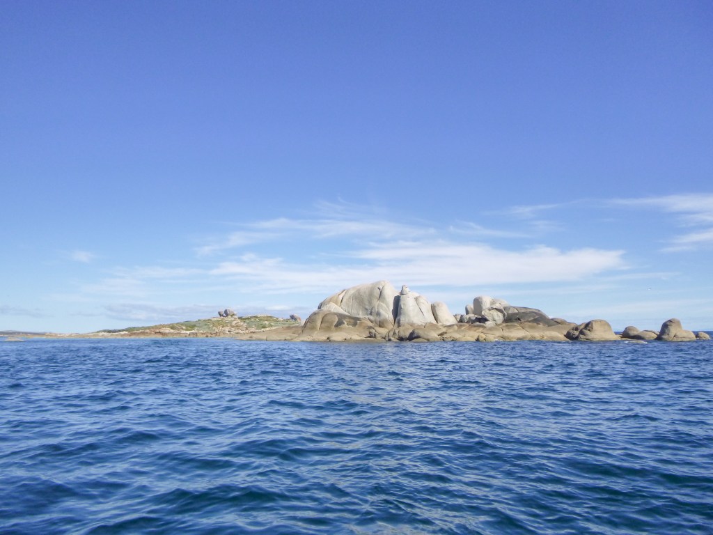
Reaching Preservation Island and Rum Island in the early afternoon, we anchored and set out in the tender to find the submerged shipwreck. There’s a bit of a story here, so I’d better fill you in. Way back in 2020, when we first set off on our sailing adventure, Matt read a book about a whole heap of shipwrecks and sailing misadventures. Two of them particularly captured his imagination – the story of the Batavia and the mutiny out on the Abrolhos Islands, off the coast of WA, and the story of the Sydney Cove, wrecked near Preservation Island, after which the salvaged rum was put on Rum Island and some survivors managed to sail to Ninety Mile Beach on the Victorian coastline and then walk to Sydney. Both are incredible stories and both still had the skeletons of a shipwreck that you could apparently dive on. And Matt was very keen to. Since weather conditions had prevented us from going out to the Abrolhos, he was extra determined to try and find the Sydney Cove. We hadn’t had the time to stop on our way down to Tasmania, and we hadn’t had the right conditions to stop when heading from Launceston around the east coast, and so this was our last opportunity.

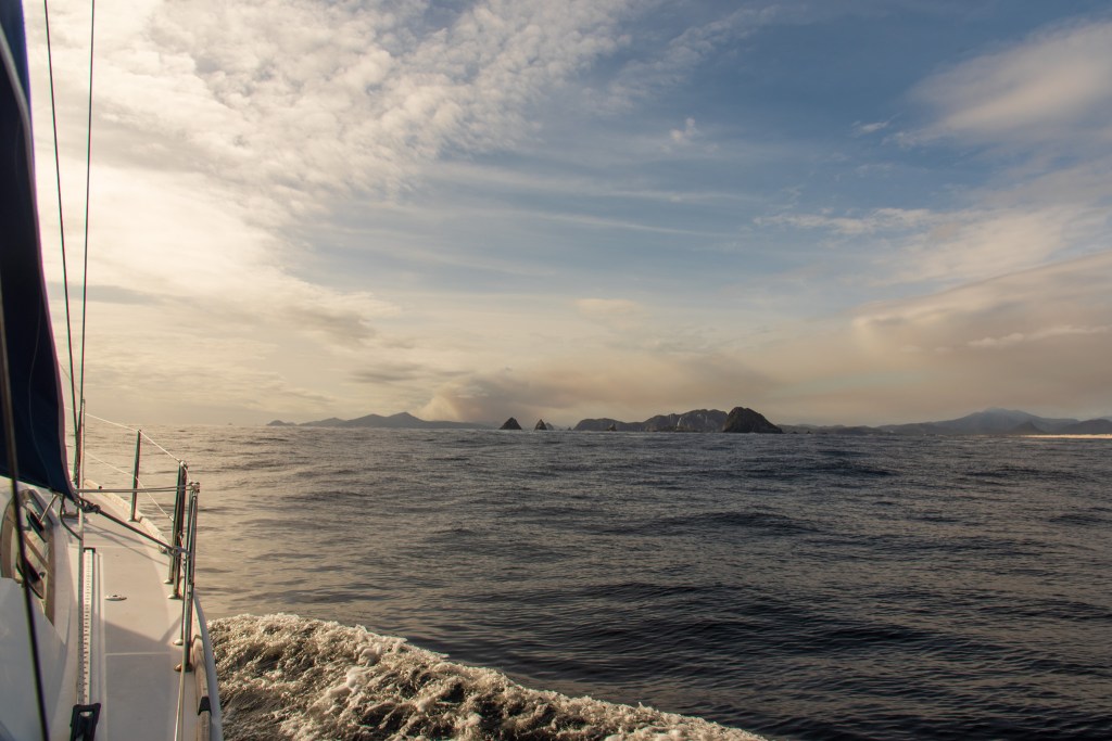
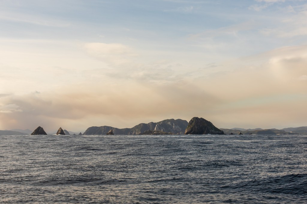
Fortunately, the weather held. We dropped anchor and jumped straight into the tender. Matt pulled on his wetsuit and and we motored over to the little channel between the two islands. It was fascinating to see these islands that I’d read so much about. They were low lying and incredibly exposed. Although the conditions were mild for us, I could just imagine how harsh and inhospitable the flat little islands would be when the winds were howling through. There was no protection. It seemed a horrible place to be shipwrecked on.

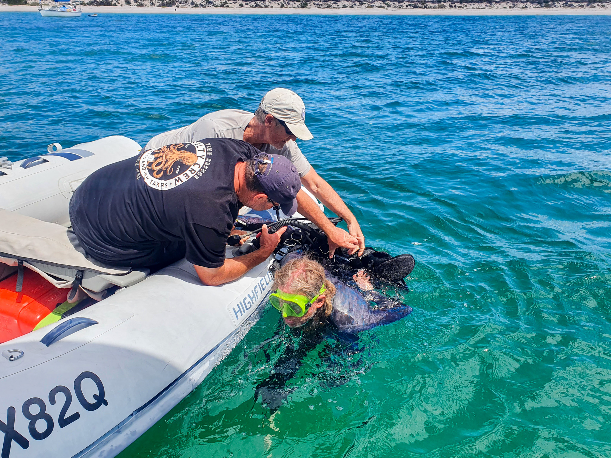
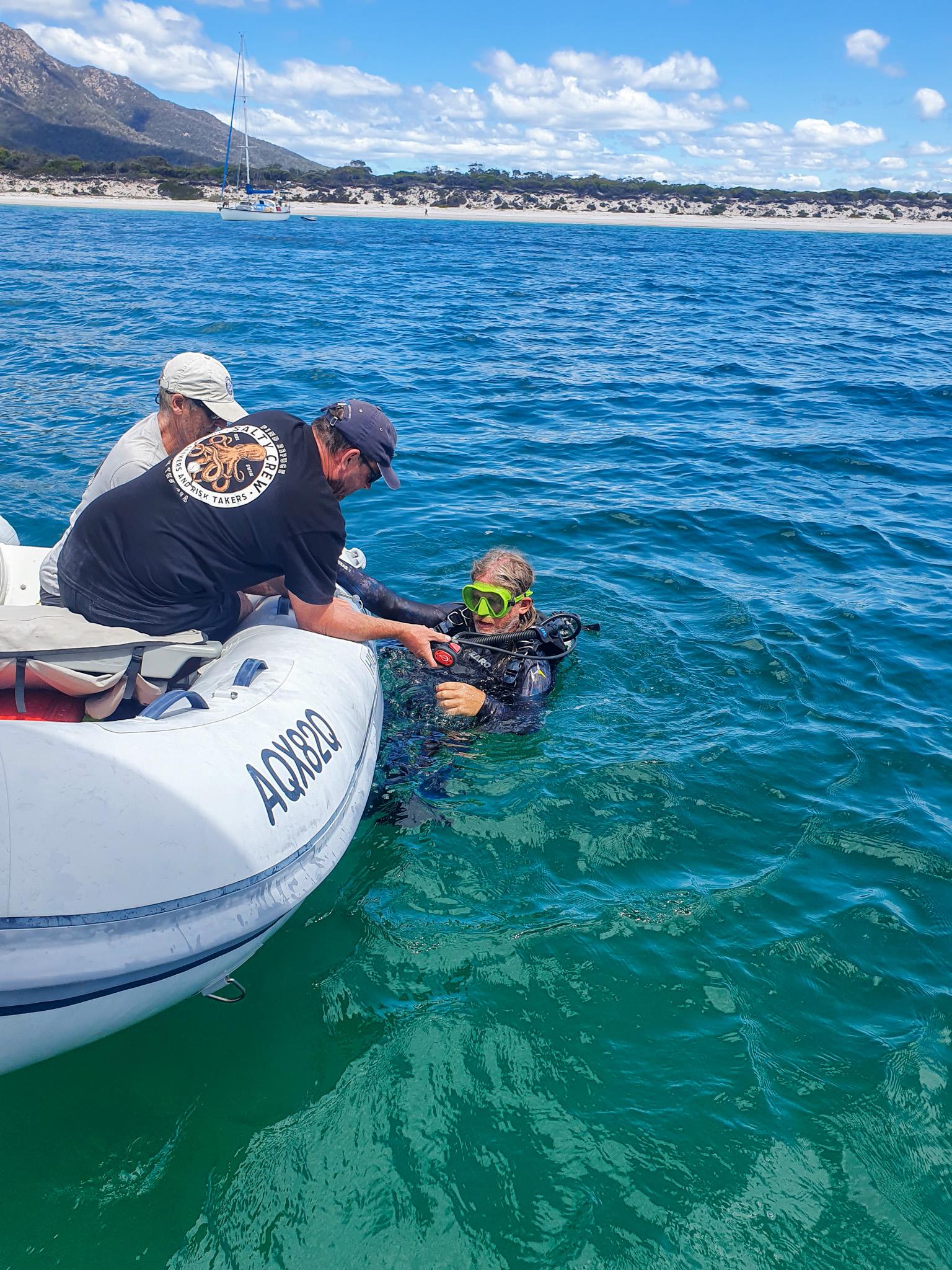
Matt jumped in and began swimming through the water to try and spot the wreck. The water was crystal clear and I could see a fair way down from in the tinny. But try as we might, we couldn’t find the wreck. We returned to the boat, reread the guides, and tried a different spot, but still no luck. It was very disappointing.

Preservation Island
Preservation and Rum Island
Matt, Preservation Island
Preservation Island
Preservation Island

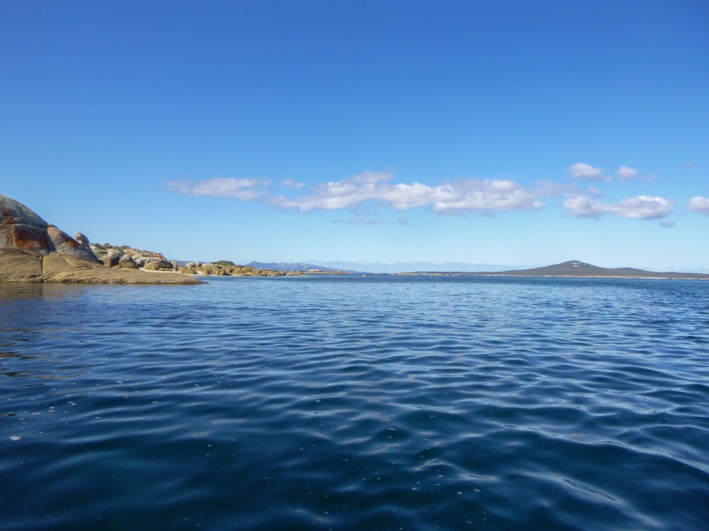
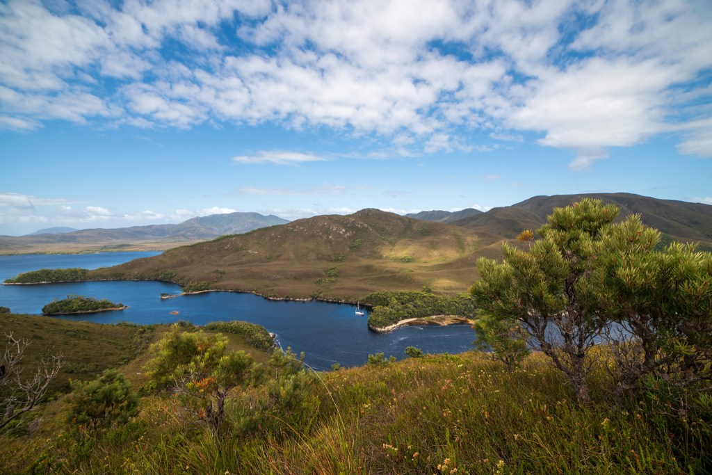
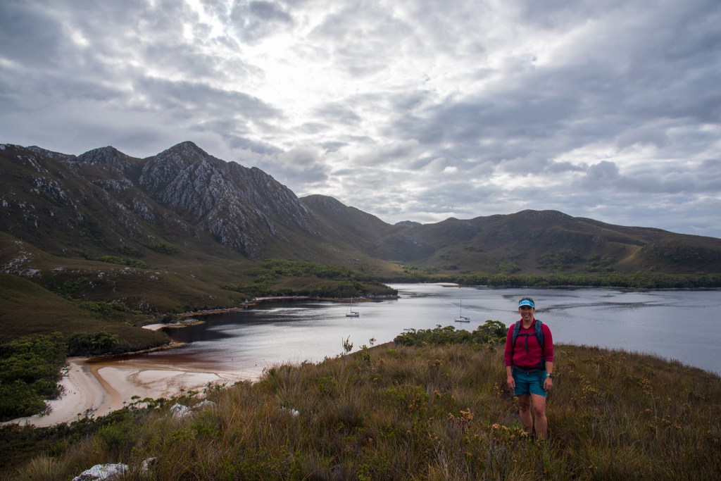
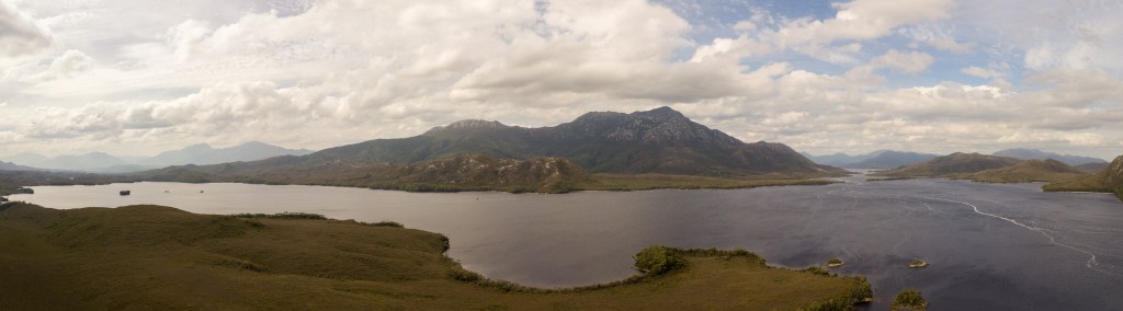
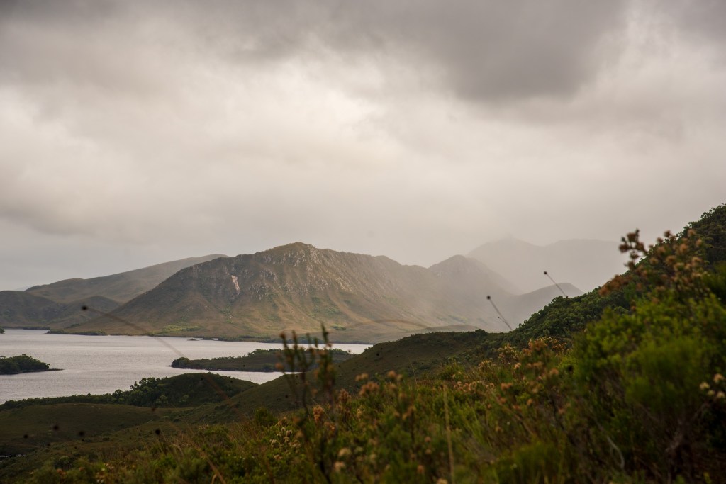
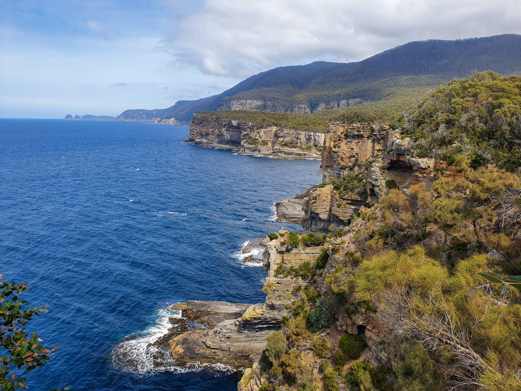
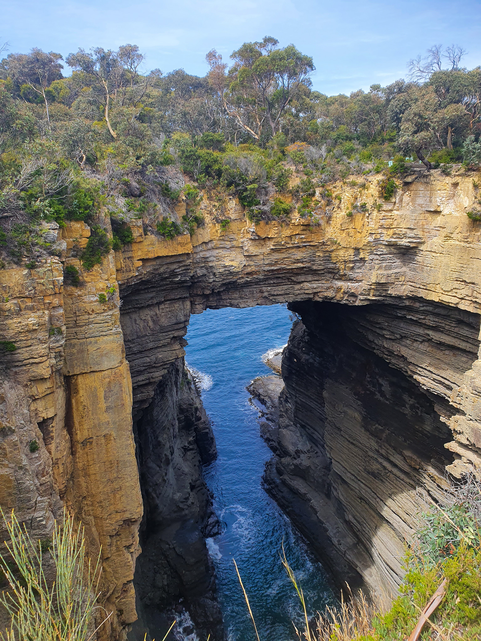
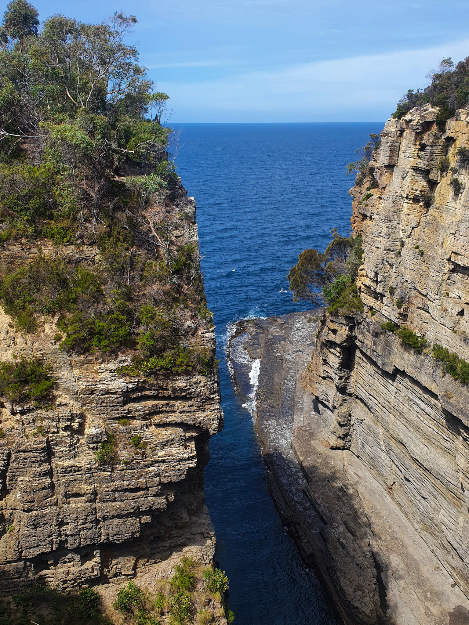
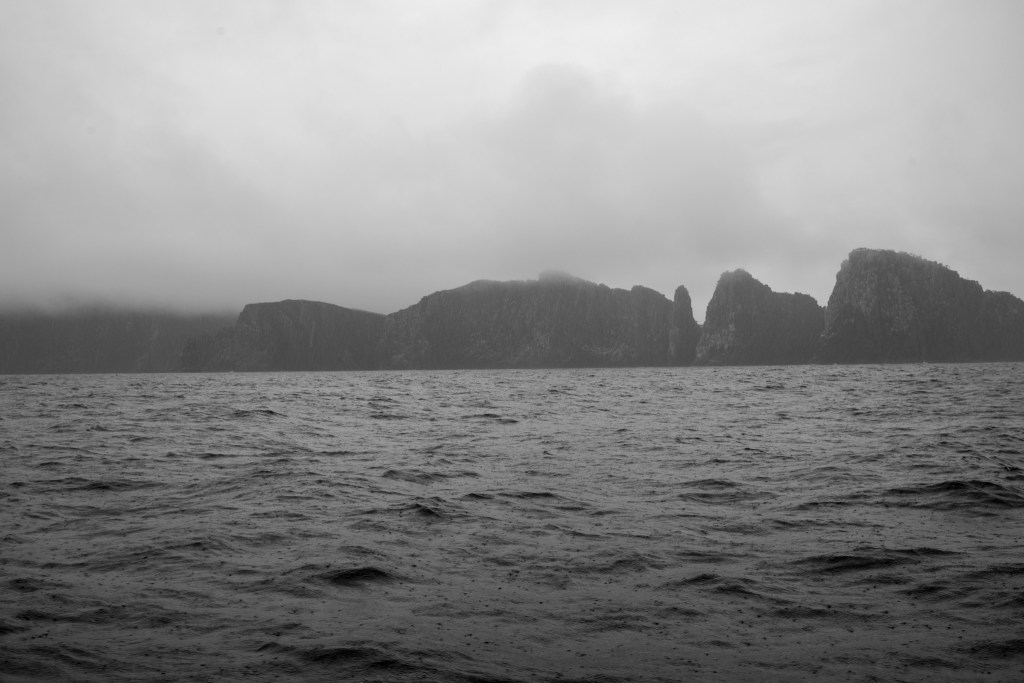
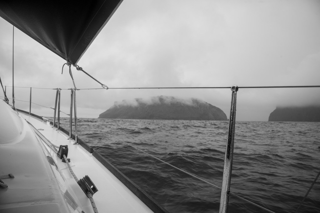
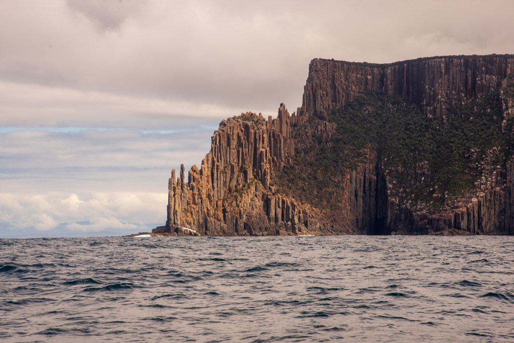
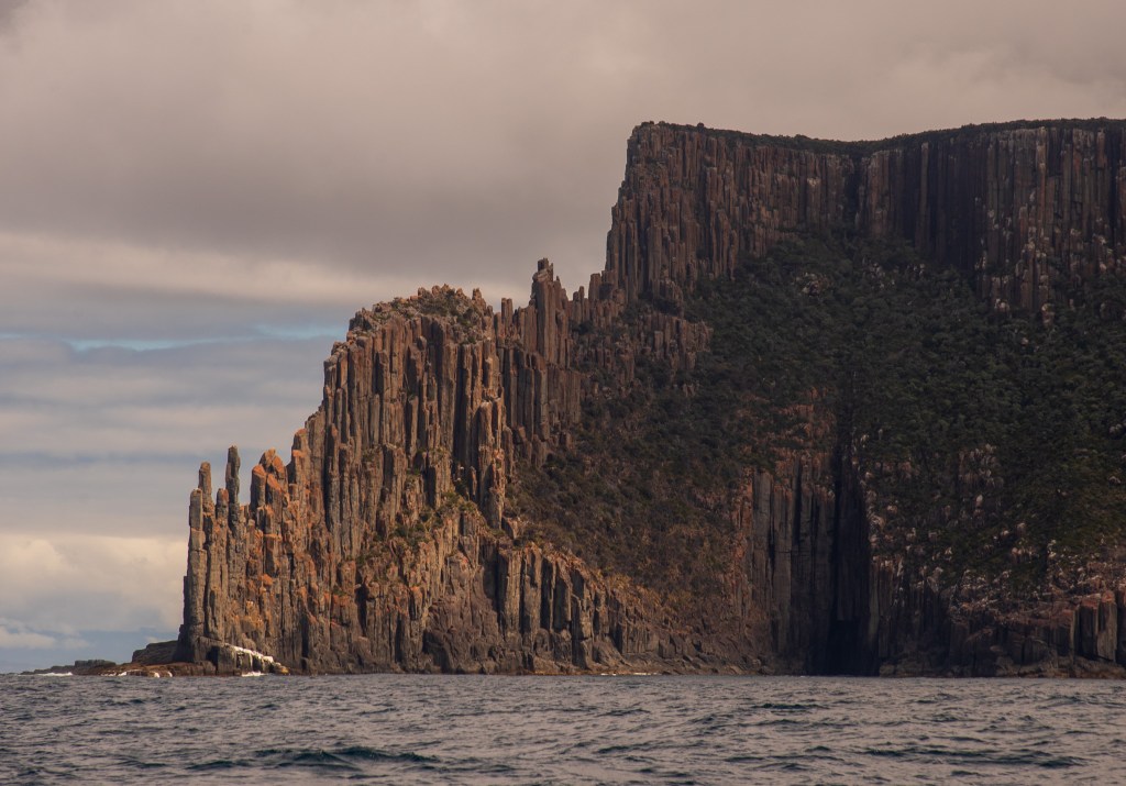
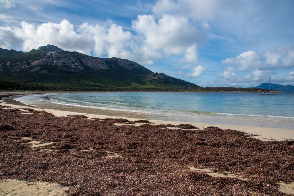
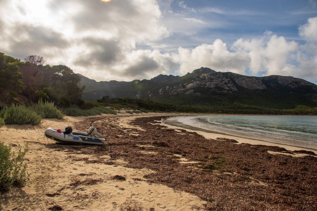
Eventually conceding defeat, we returned to the yacht. We couldn’t stay any longer. It was not a place to be overnight and our destination on Flinders Island was still several hours sail away. It was nearing dusk when we reached Trousers Bay, with the majestic mountains on Flinders Island welcoming us back. It really is an extraordinarily beautiful place.

Approaching Trousers Bay, Flinders Island

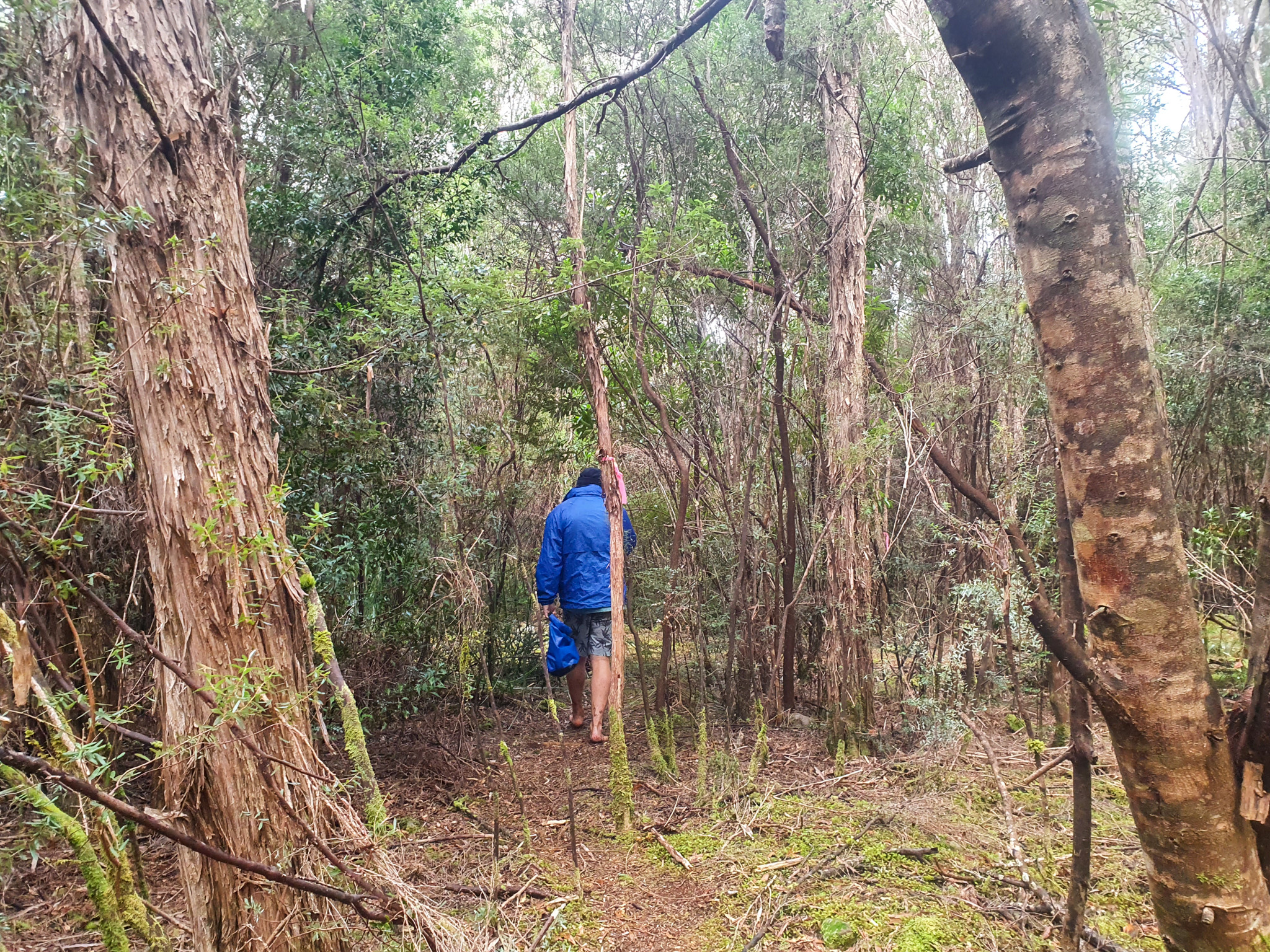
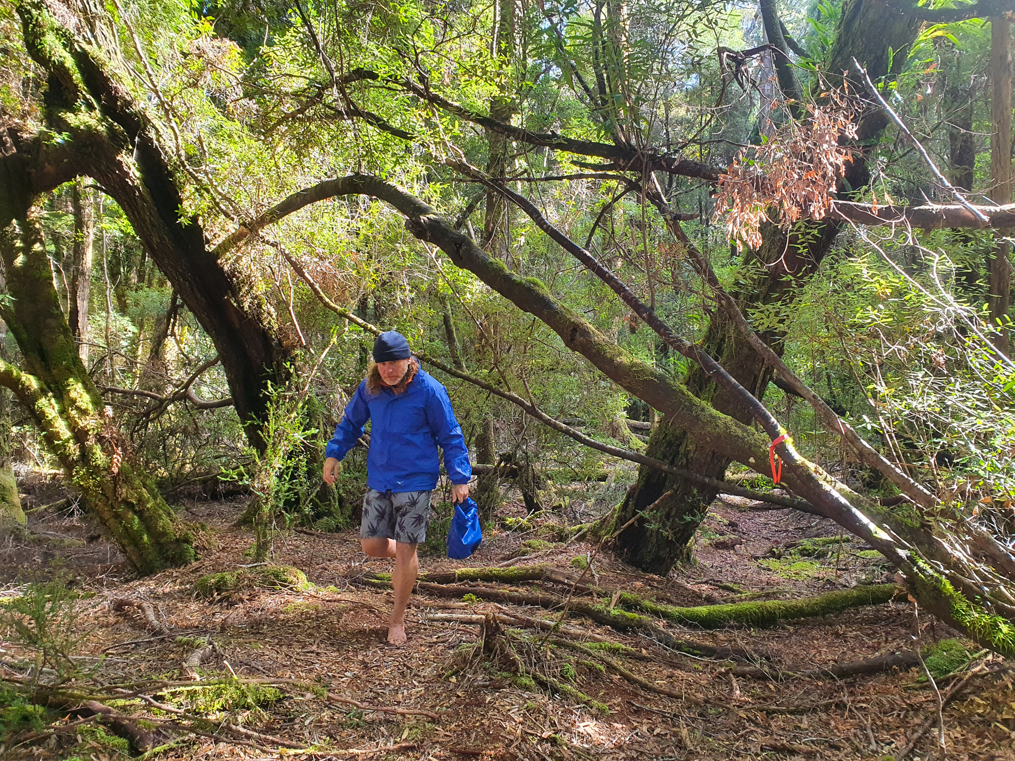
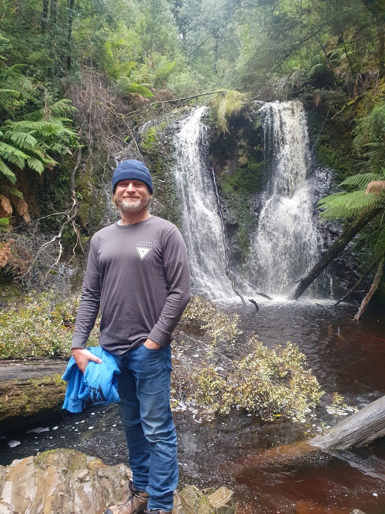
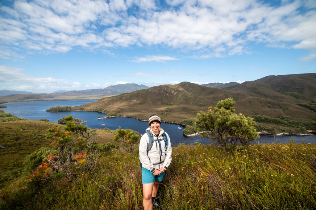
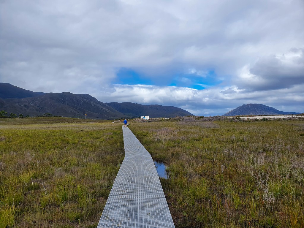
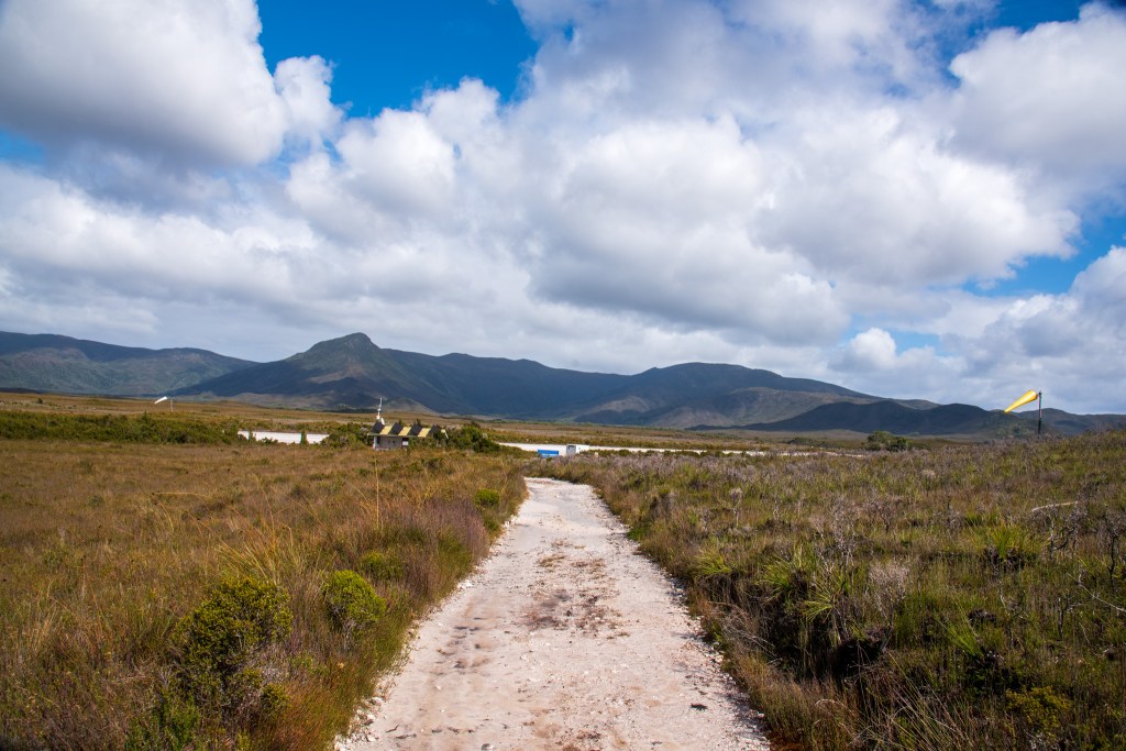
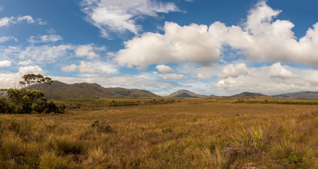
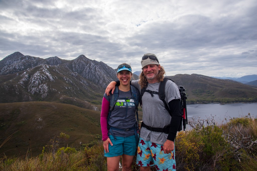
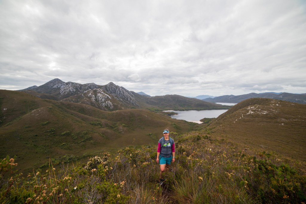
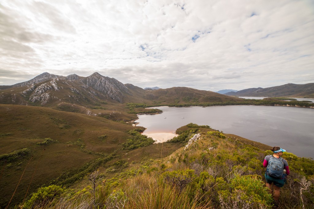
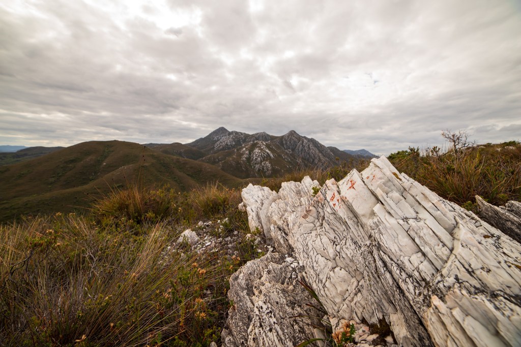
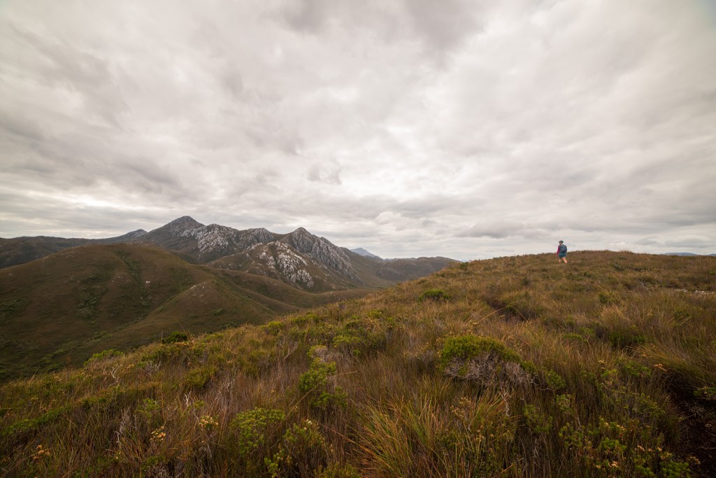
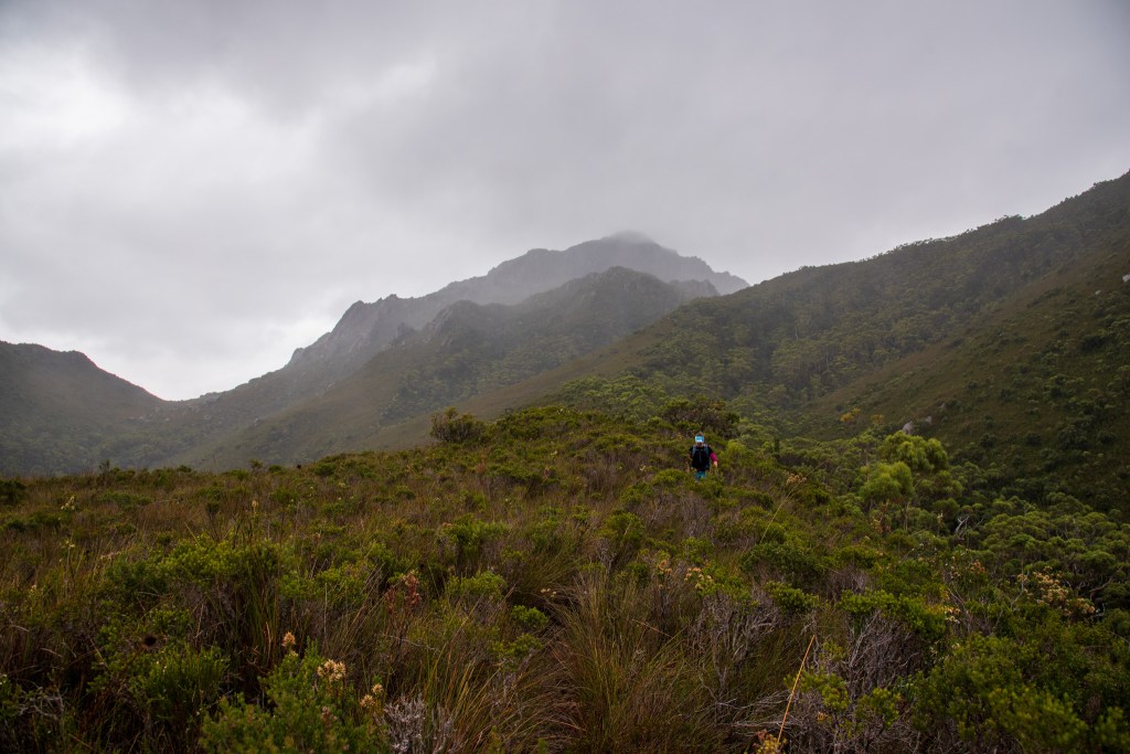
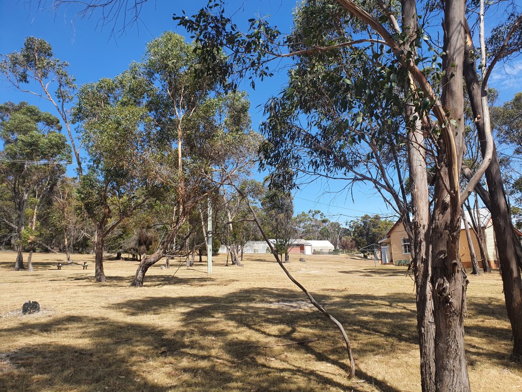
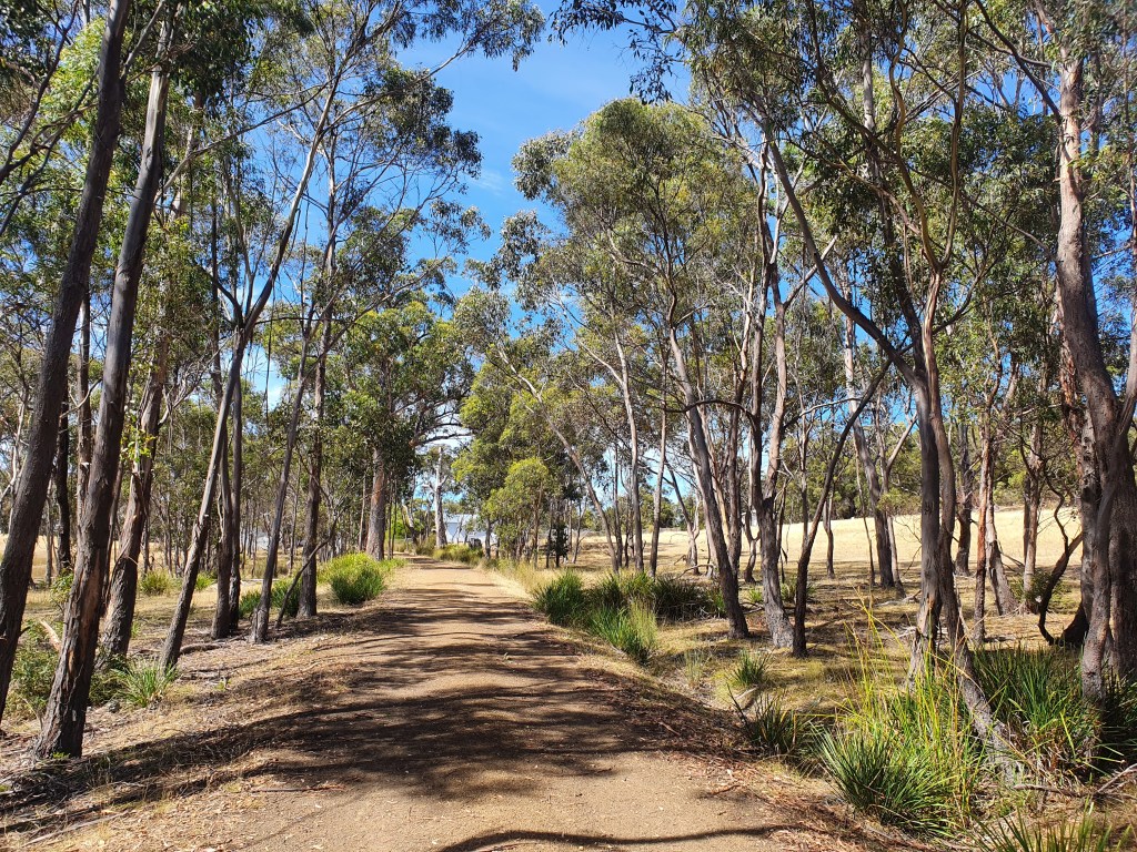
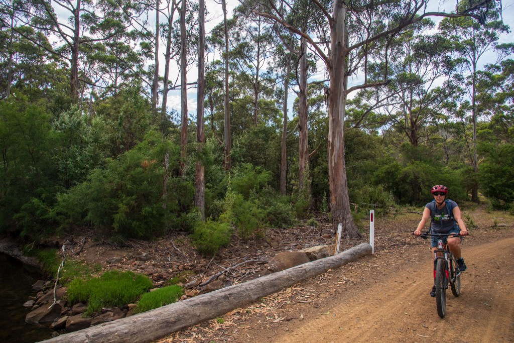
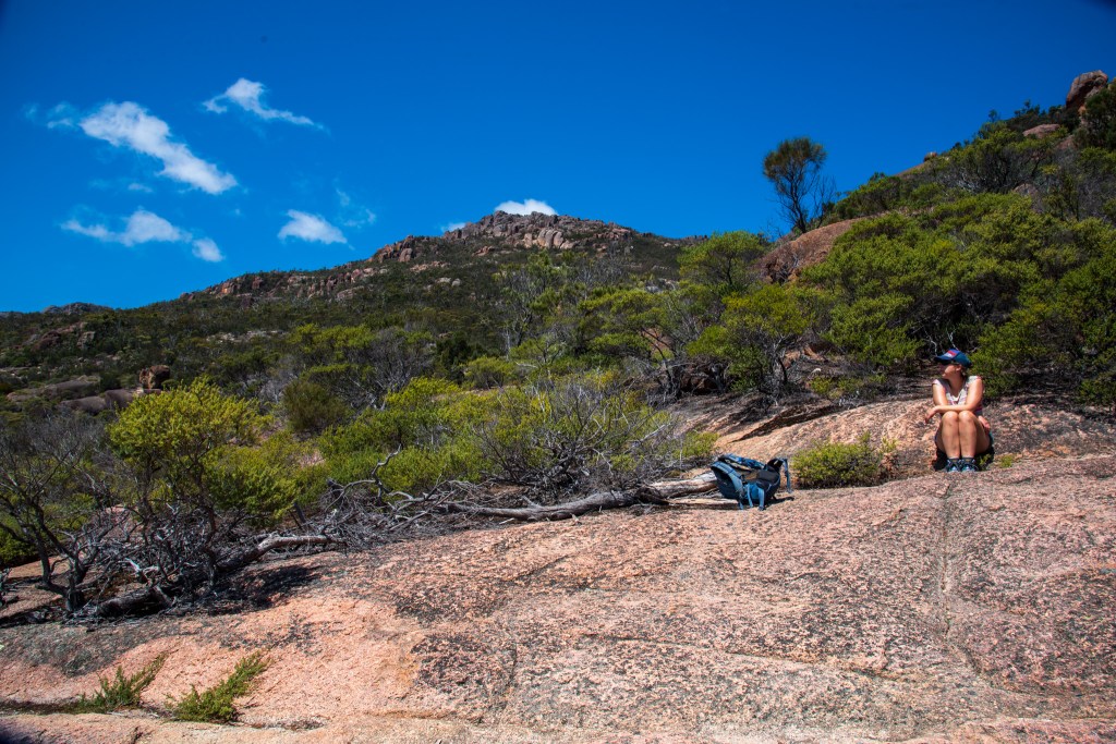
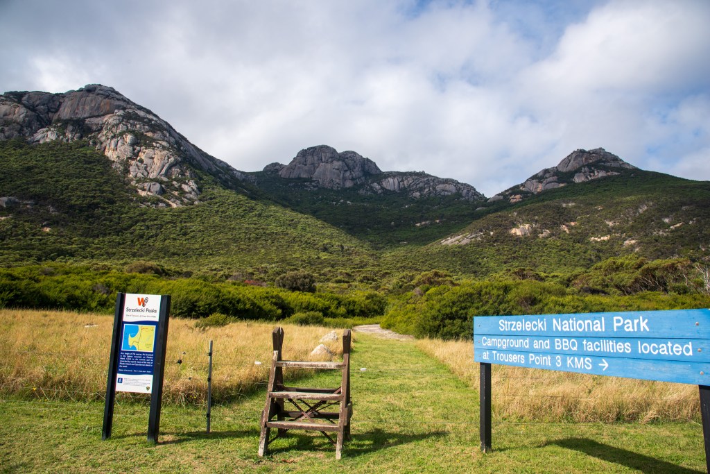
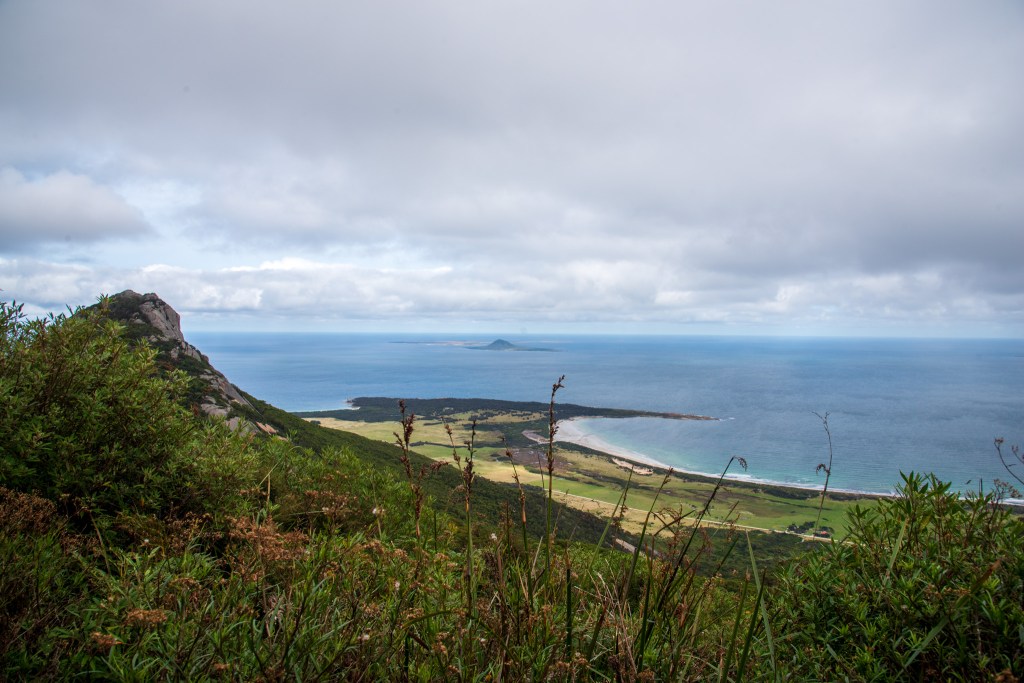
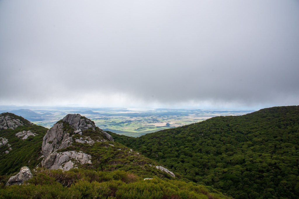
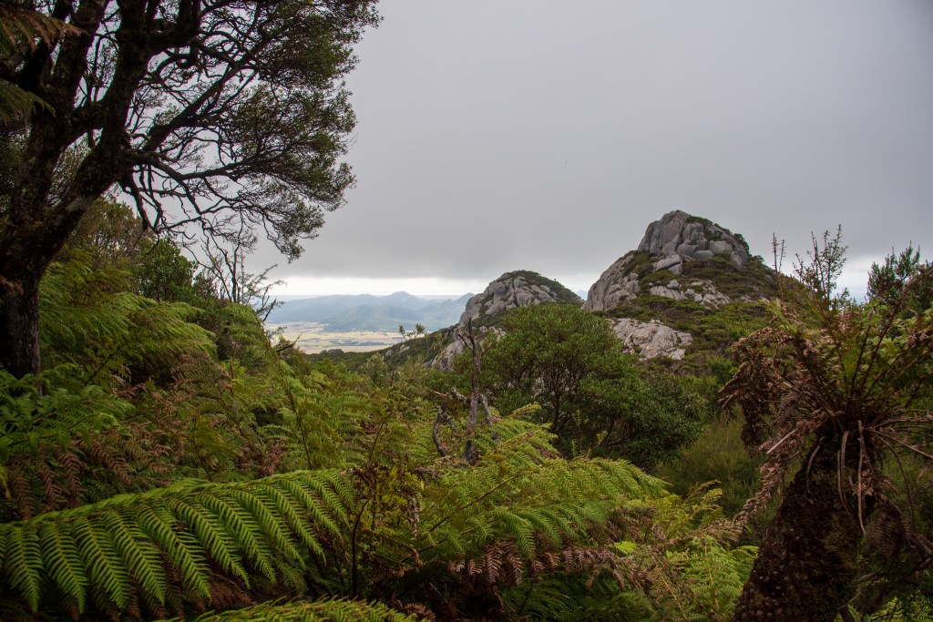
But it was rolly in the anchorage and I was grumpy. After a pretty crappy sleep, we were up early and headed to shore, geared to hike up Mt Strzelecki. We had a bit of a walk to reach the trailhead but it felt great to be on back on land, walking and stretching our muscles.

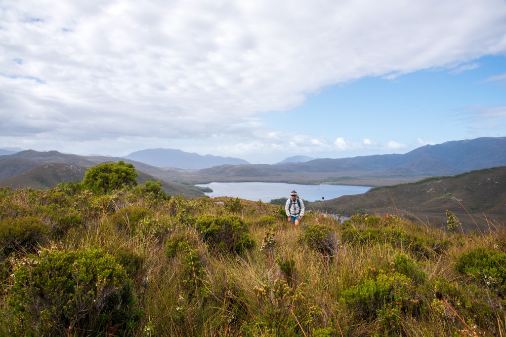
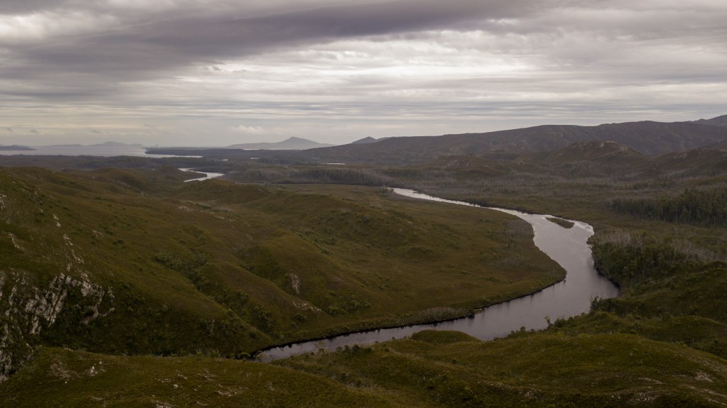
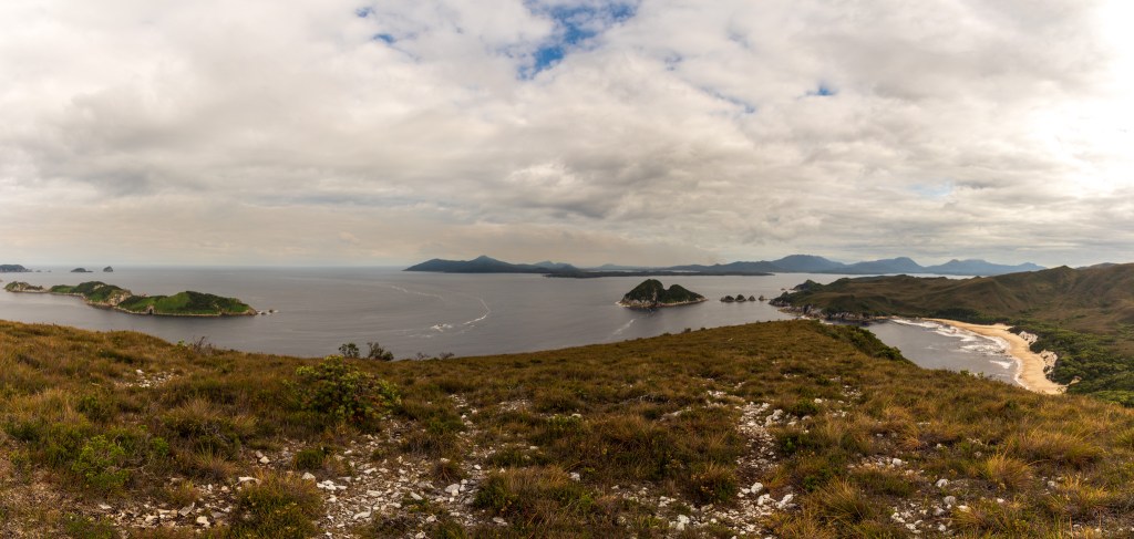
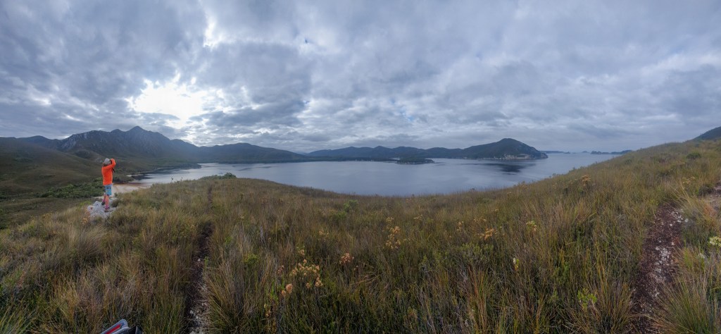
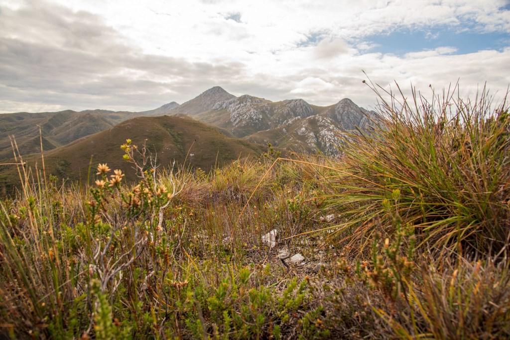
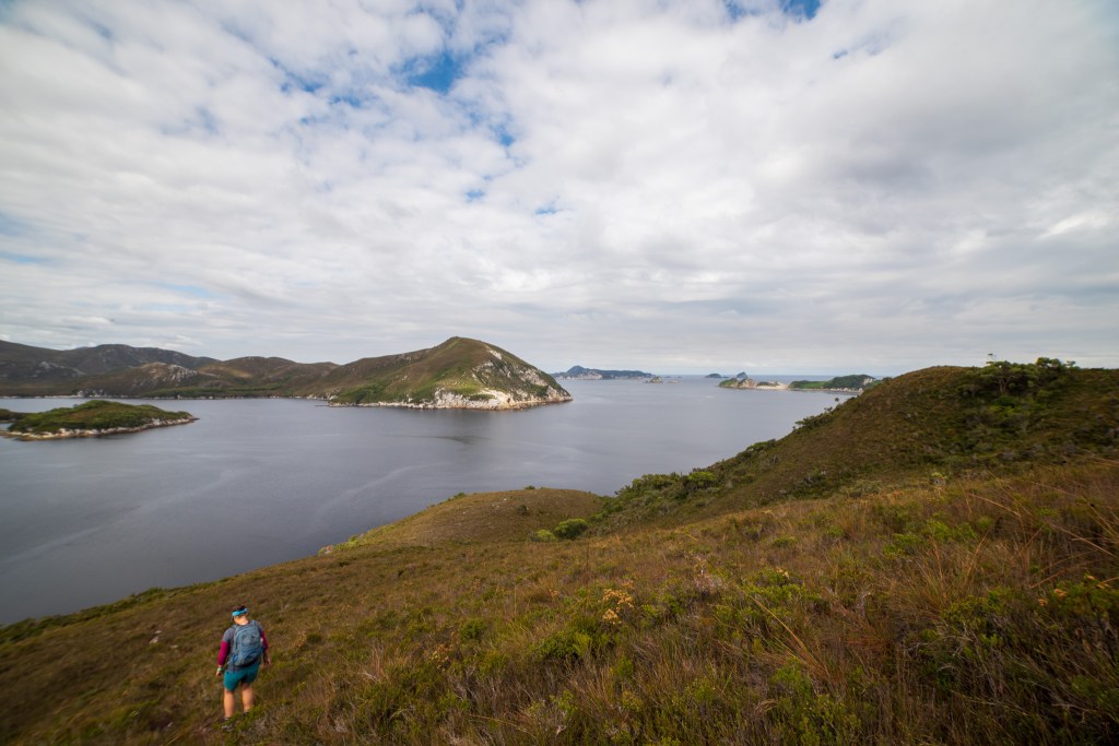
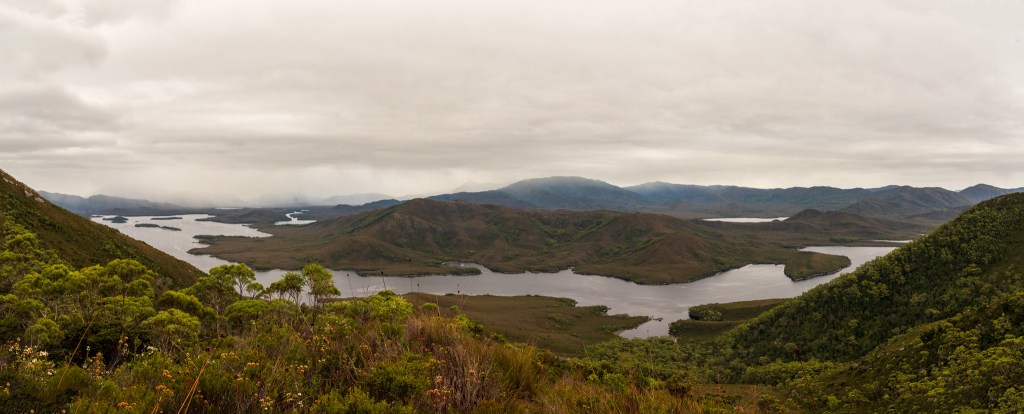
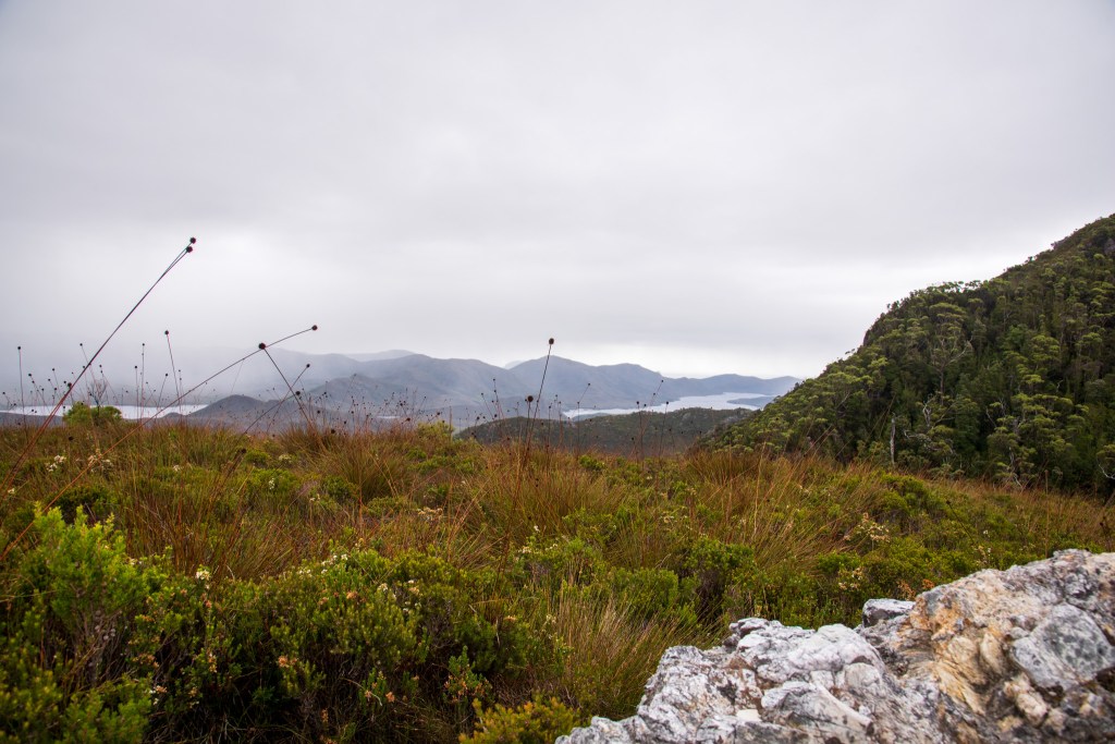
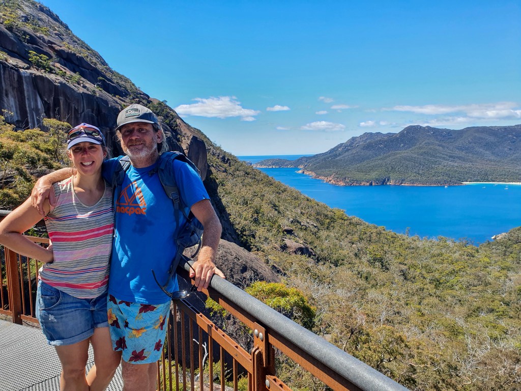
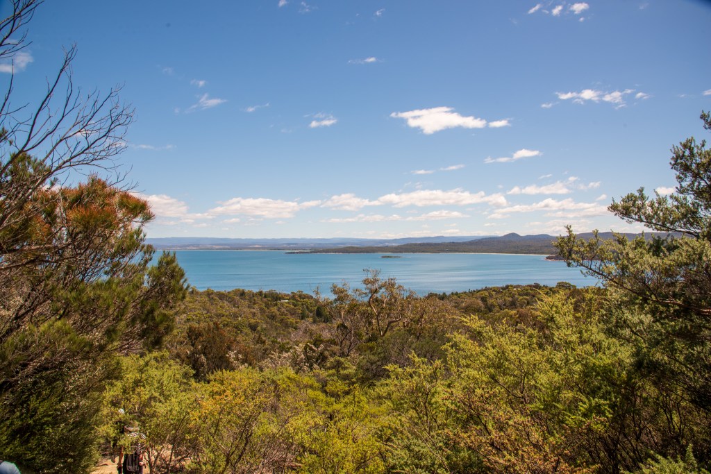
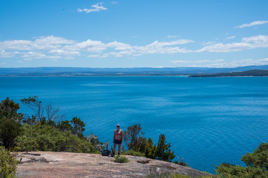
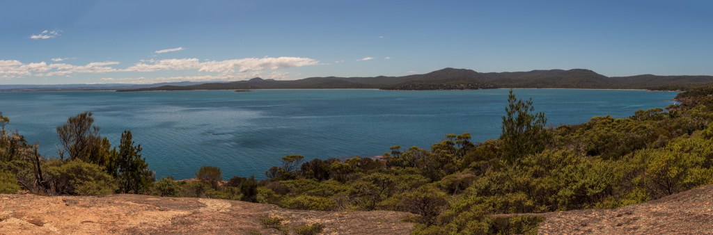
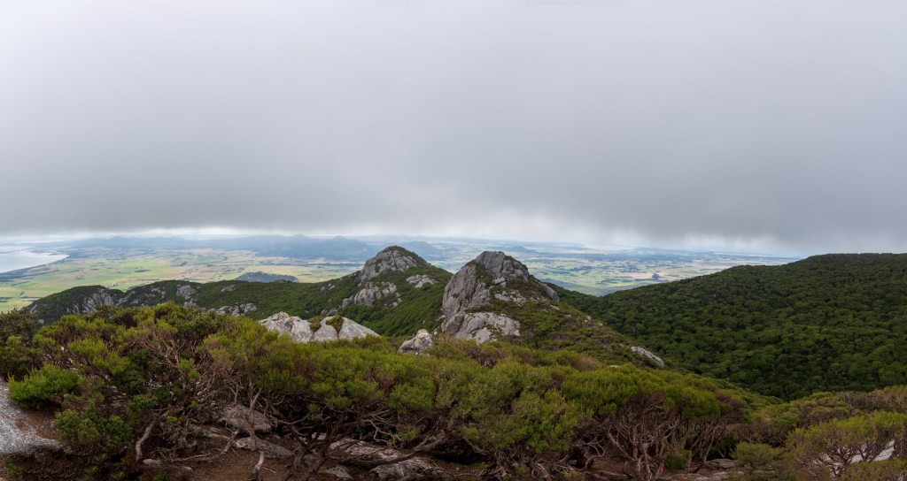
The hike was lovely. It was very, very steep in parts, but on reaching the top we were well rewarded for our efforts with sweeping views over Flinders Island and out over Franklin Sound. We were racing the weather, however, with a thick band of cloud approaching the mountain. As we were descending, the cloud reached us and by the time we were at the bottom looking up, we could no longer see the top of the mountain. We’d timed it perfectly.

Trousers Bay, Flinders Island
Mt Strzelecki, Flinders Island
Views from Mt Strzelecki
Mt Strzelecki
Mt Strzelecki panorama
Views from Mt Strzelecki

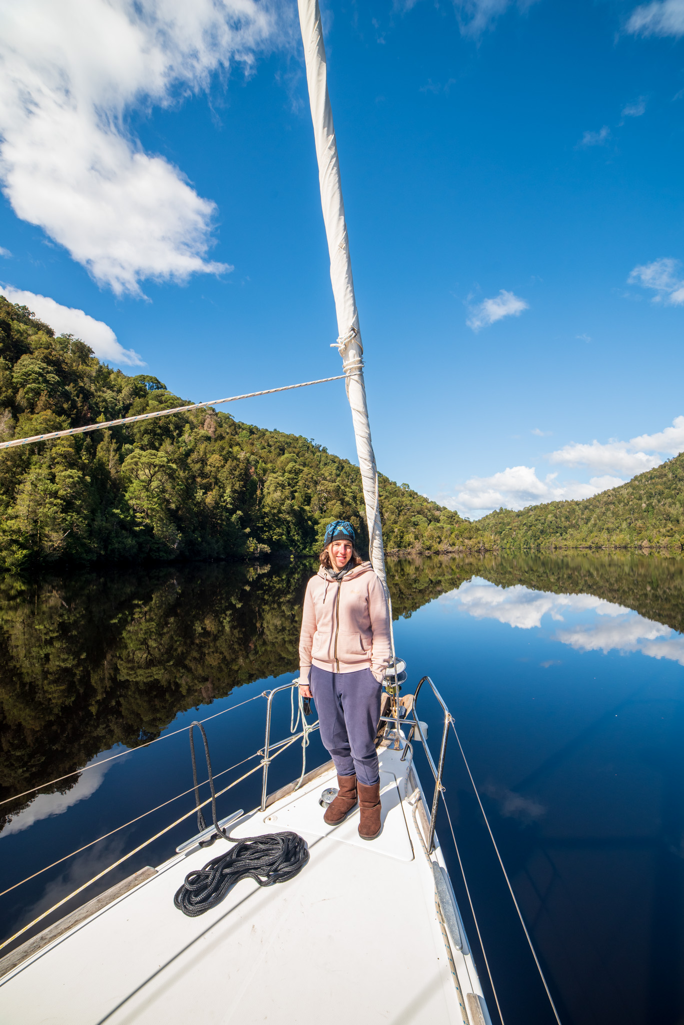
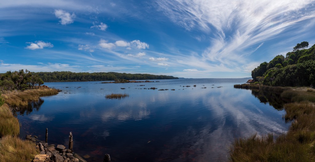
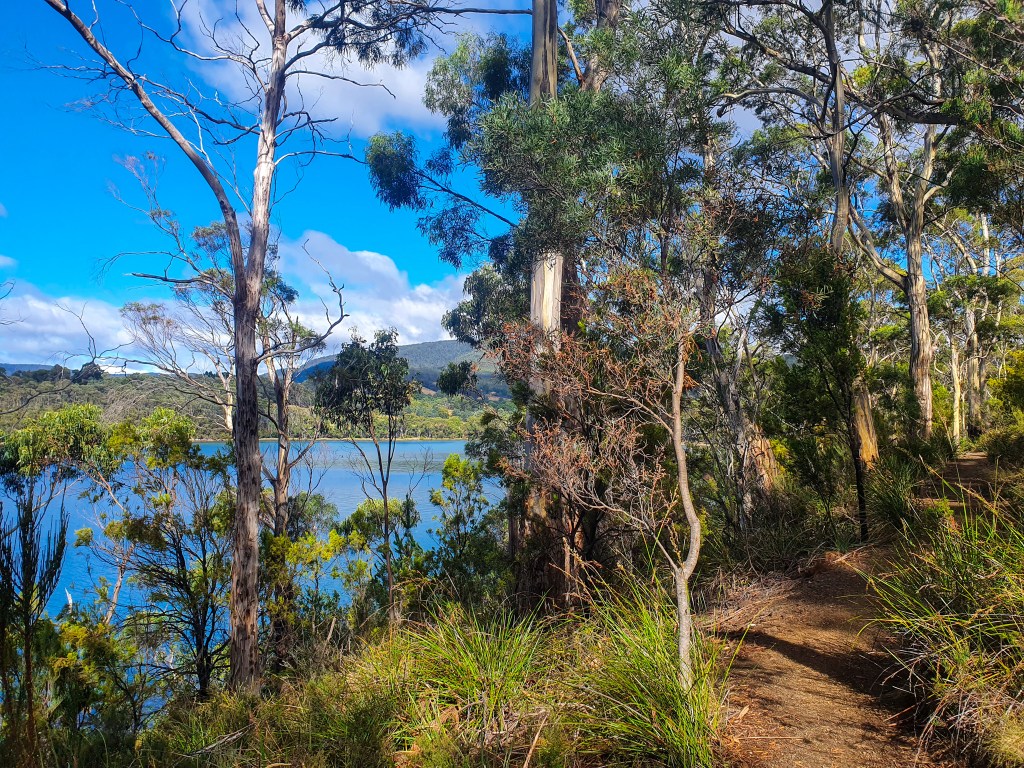
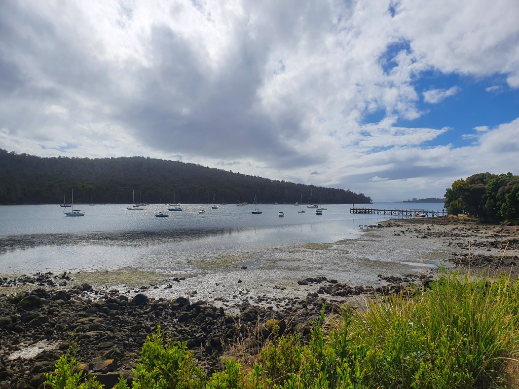
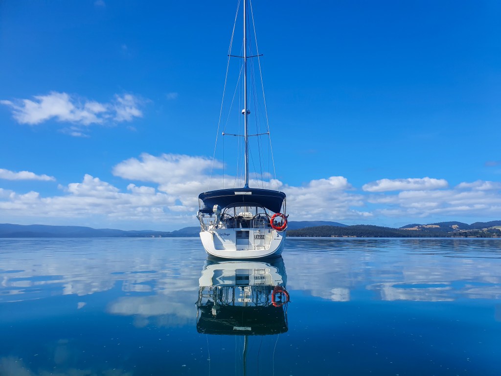
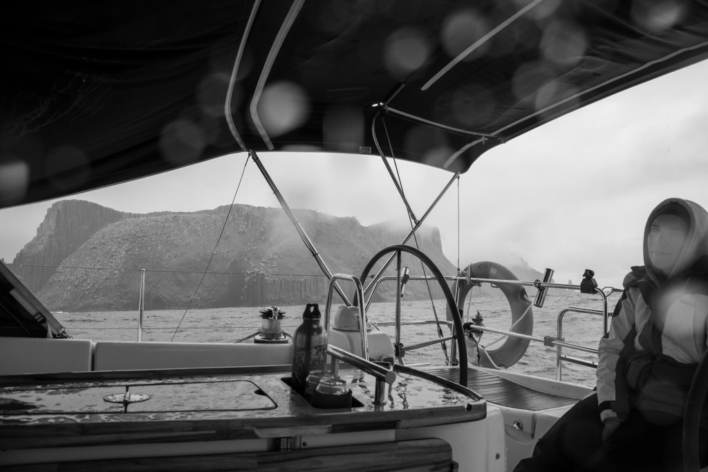
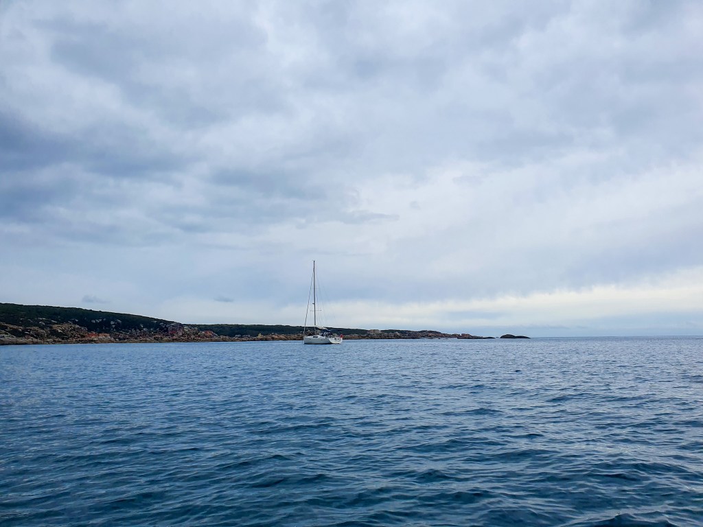
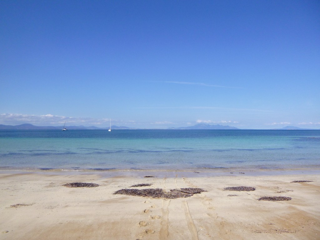
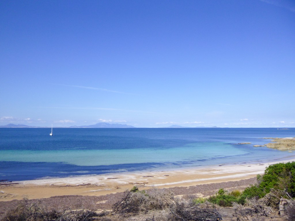
Returning to the yacht, we found her bouncing and bucking on the mooring. It was definitely time to go. Out we motored into rough and choppy seas. I felt sick again. It was awful. Thankfully it wasn’t a long trip to our next anchorage at Prime Seal Island, and I was incredibly relieved to find that it was calm and still in the protection of the little island. Phew!! We could rest and recharge. This is where we would set off to cross Bass Strait, a two day passage into NSW.

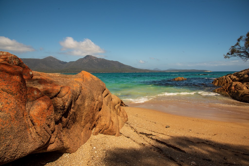
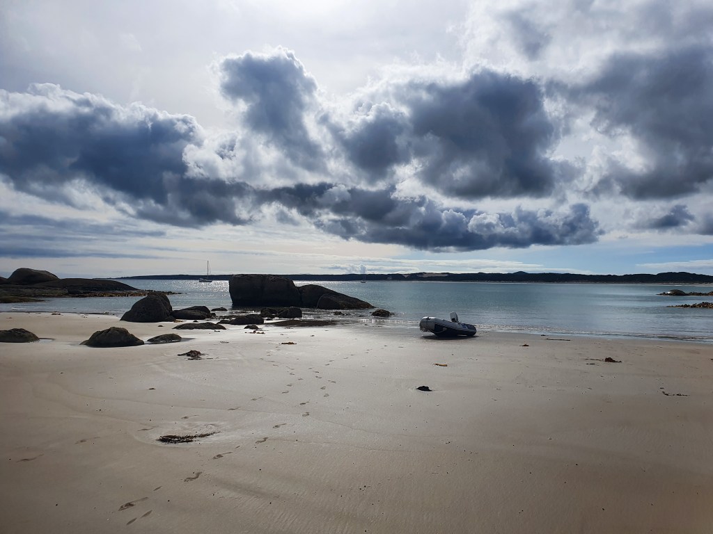
After a great sleep, we woke to an absolutely beautiful day. The sun was out. It was warm. There was no wind and the seas were flat. It was about as good as it gets. Finally, Tassie was turning it on for us!

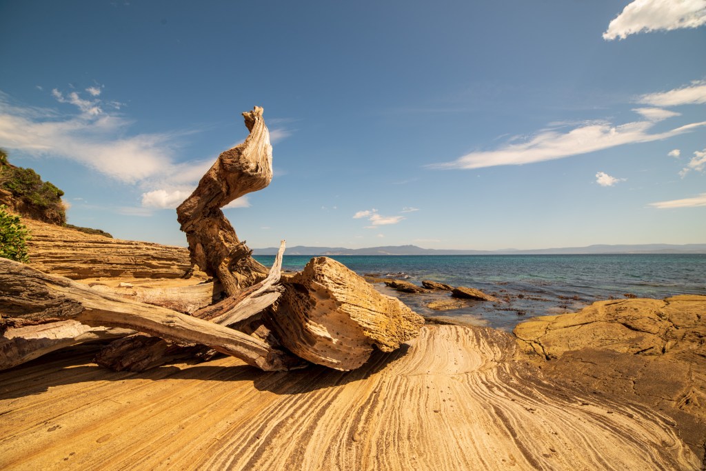
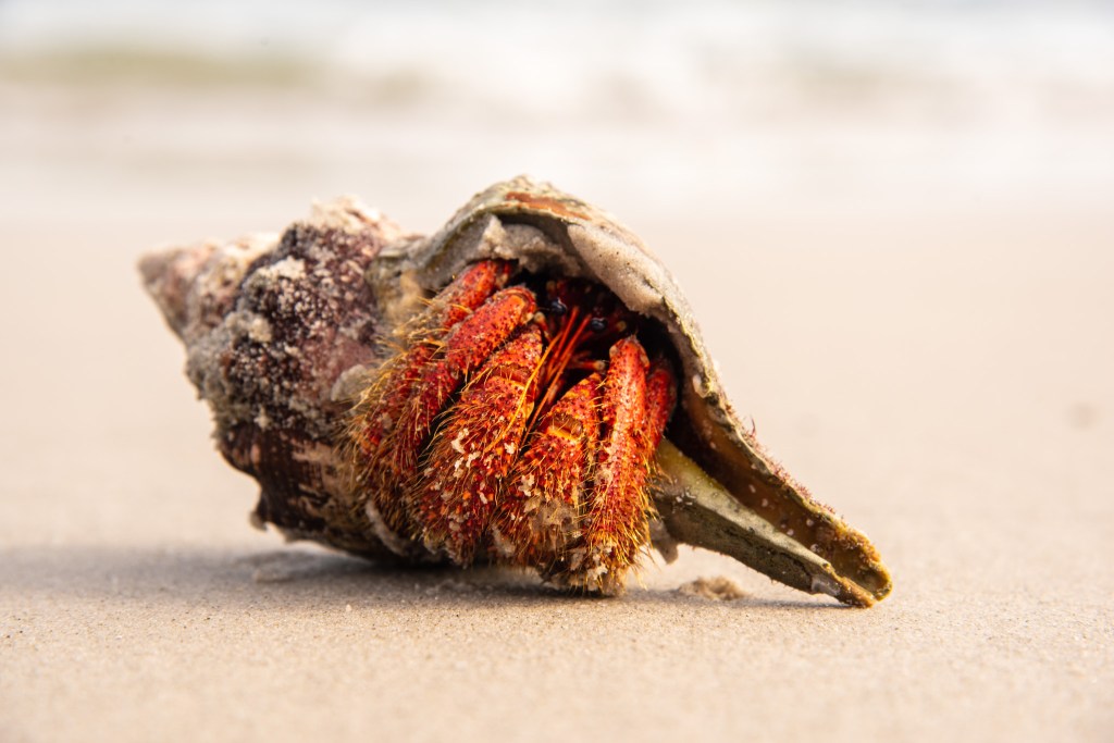
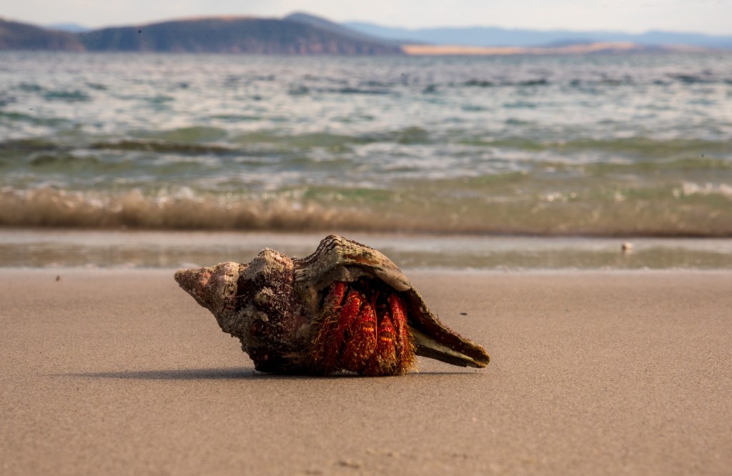
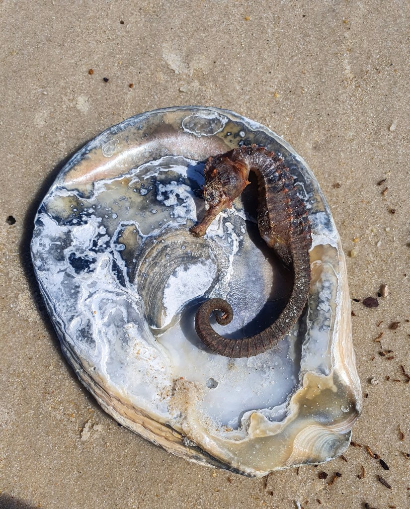
Walking along the beach, soaking up the sun and collecting shells, I was in my happy place. We reflected on the difference that a bit of sun makes to our moods. We are definitely sun lovers. I can physically feel the goodness seeping into my skin and the happiness and contentment that it evokes in me.

And once again, we were reminded of what a difference a mere 24 hours can make. It’s something we’ve come to live by.

Peacock Bay, Prime Seal Island
Prime Seal Island

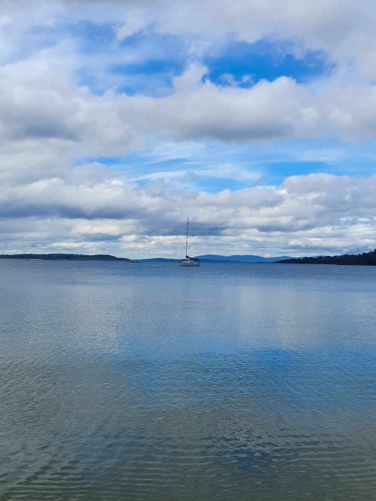
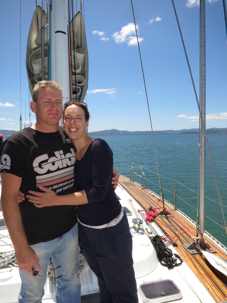
But we couldn’t linger; time was ticking and the big crossing was still ahead of us. Checking and rechecking the weather, we were certain we had a good window for a safe and comfortable crossing. Also in the bay was Al and Jill on 3rd Wish who we’d met briefly at the Tamar Yacht Club marina several months earlier. So we popped over to say Hi and see what their plans were. They were also planning on heading north. But this would be one of their longest trips yet, and the first overnight for Jill. She was understandably nervous. Matt talked through all of our decisions and reasoning and helped them come up with some options. We’ve been given so much advice and guidance along the way, that it’s really nice to be able to share our knowledge and experience with others when we can.

Peacock Bay, Prime Seal Island Drone pic

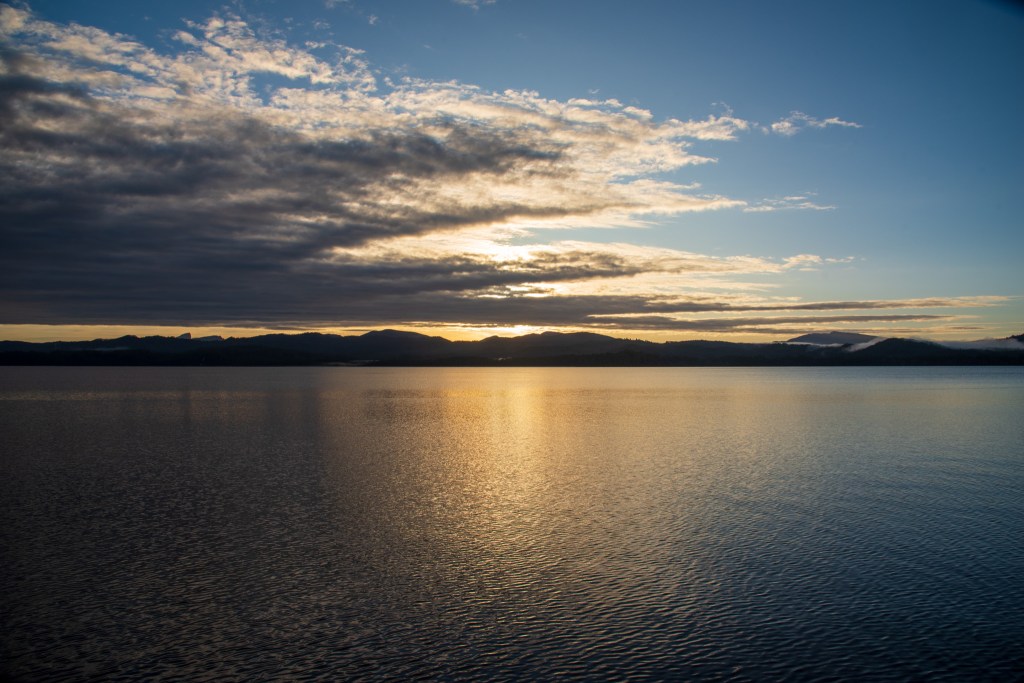
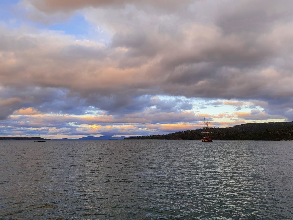
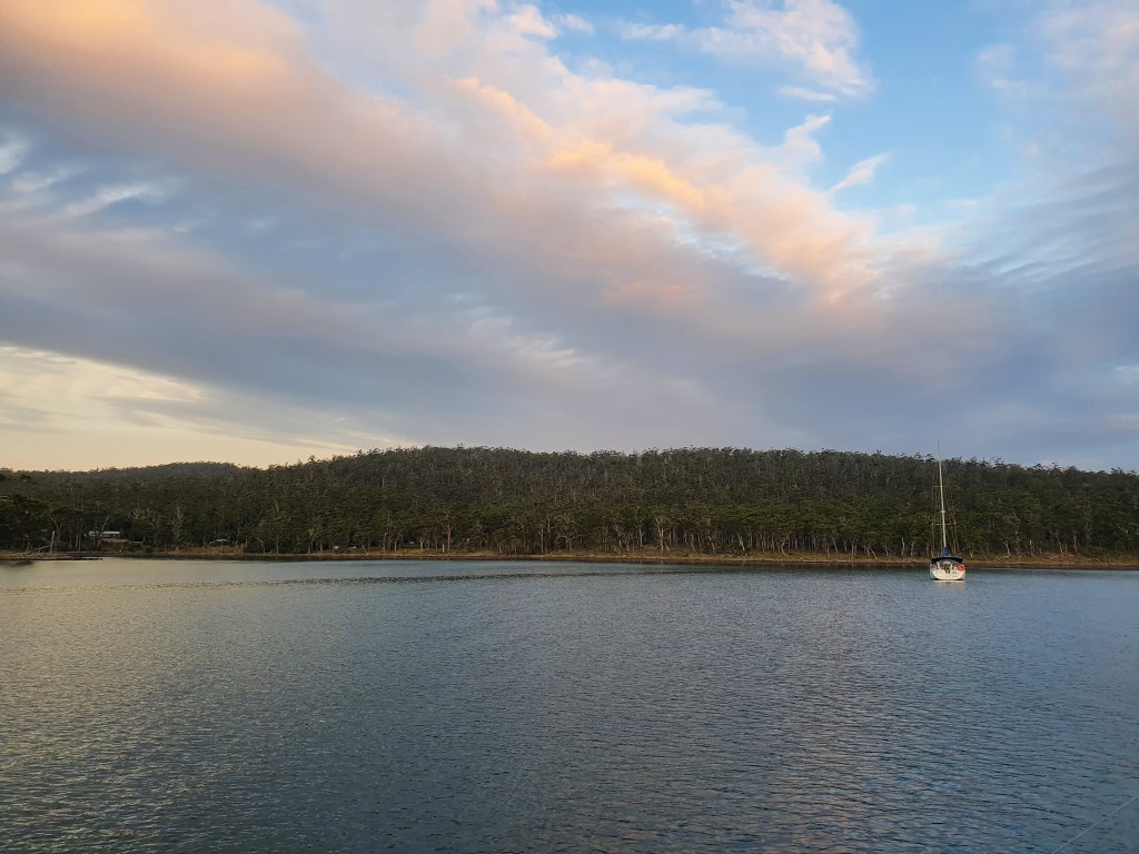
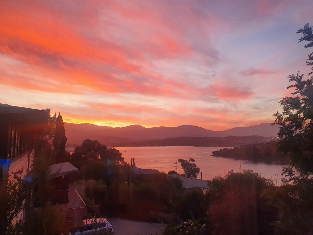
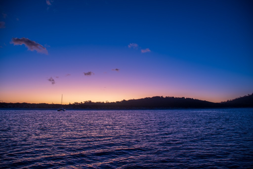
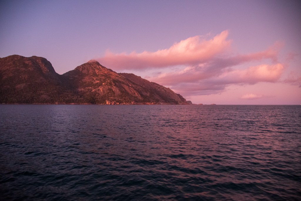
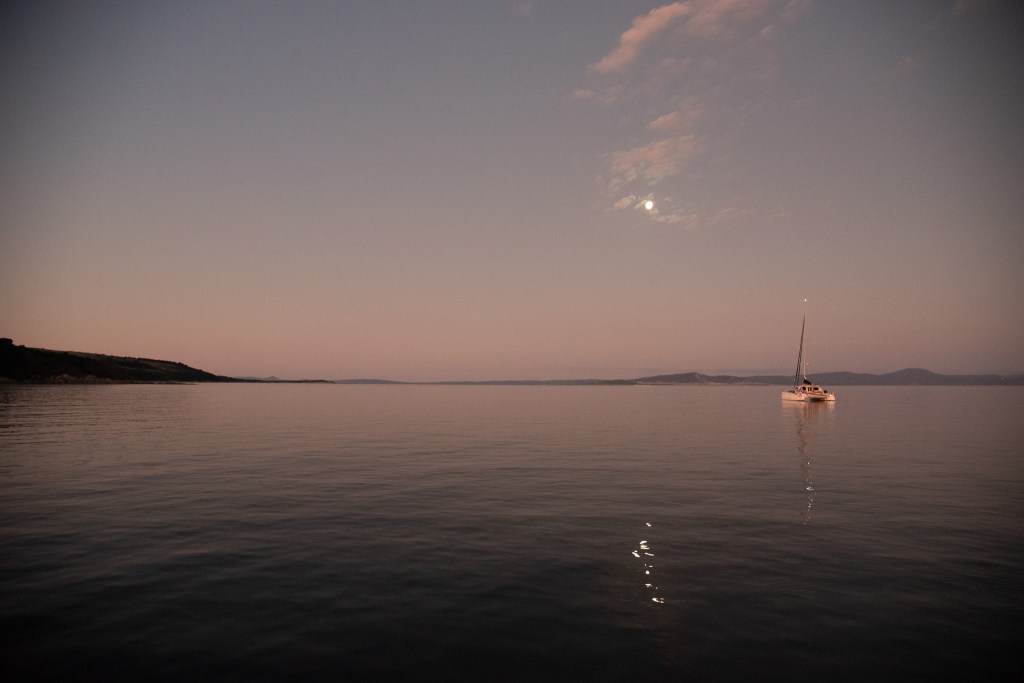
In the end, they decided to cross all the way to NSW as well. We all agreed that the following day looked good and set about making our preparations. That night the thick cloud and the gorgeous muted colours of the sunset made for a very beautiful and serene setting. It was a lovely way to farewell Tassie, marking the end of our circumnavigation. Once we got to the mainland, we could heave a big sigh of relief and satisfaction; the hardest part would be behind us.

Sunset, Peacock Bay, Prime Seal Island
Full moon rising over 3rd Wish, Peacock Bay, Prime Seal Island

The following morning, setting out into smooth seas, with very little swell and the sun out, I was hopeful for a pleasant passage. I thought we’d picked our window well. And it turned out that we had.

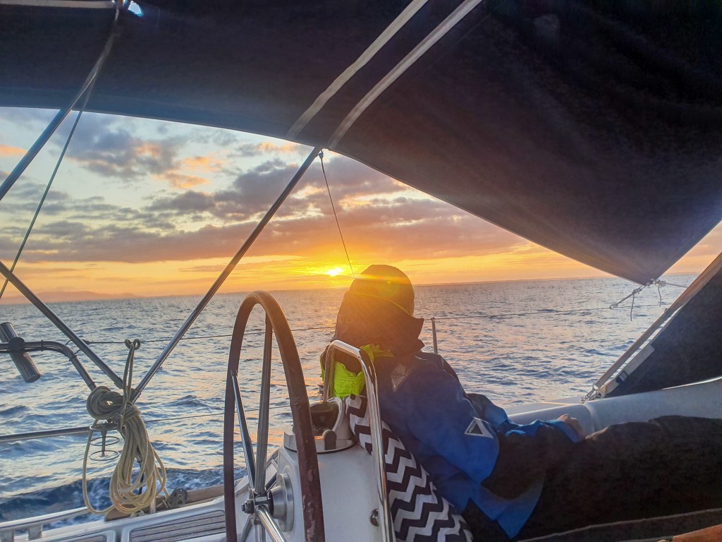
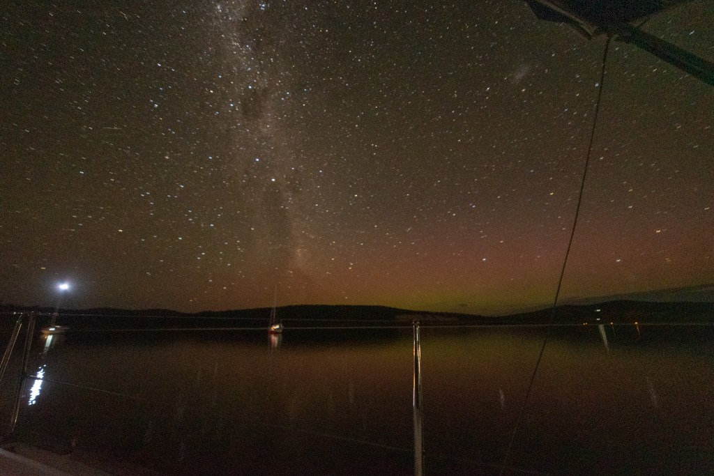
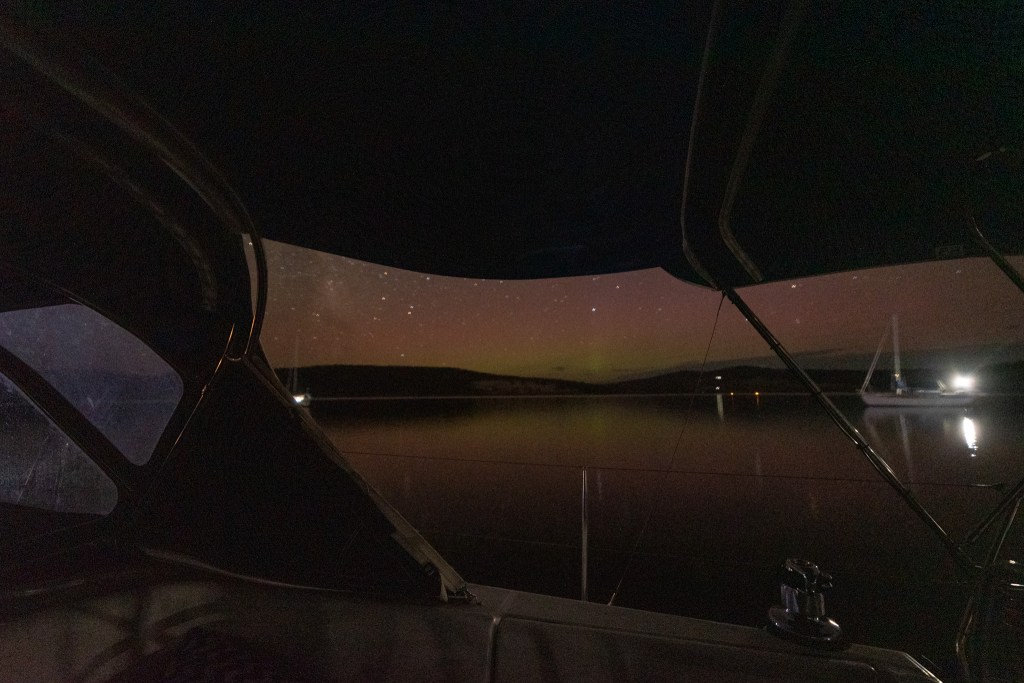
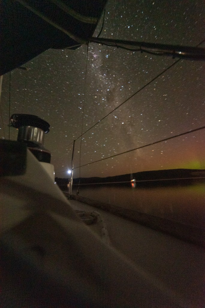
The first day passed by uneventfully and we had dinner together before I went to bed about 6 pm. Matt woke me at midnight and I did the night shift until 5 am. It was comfortable and I was content. Some stronger winds in the morning saw us cut the motor and sail with just the headsail. We were still managing 5.5 knots, but soon we were pushing 7 knots. Probably too fast!!

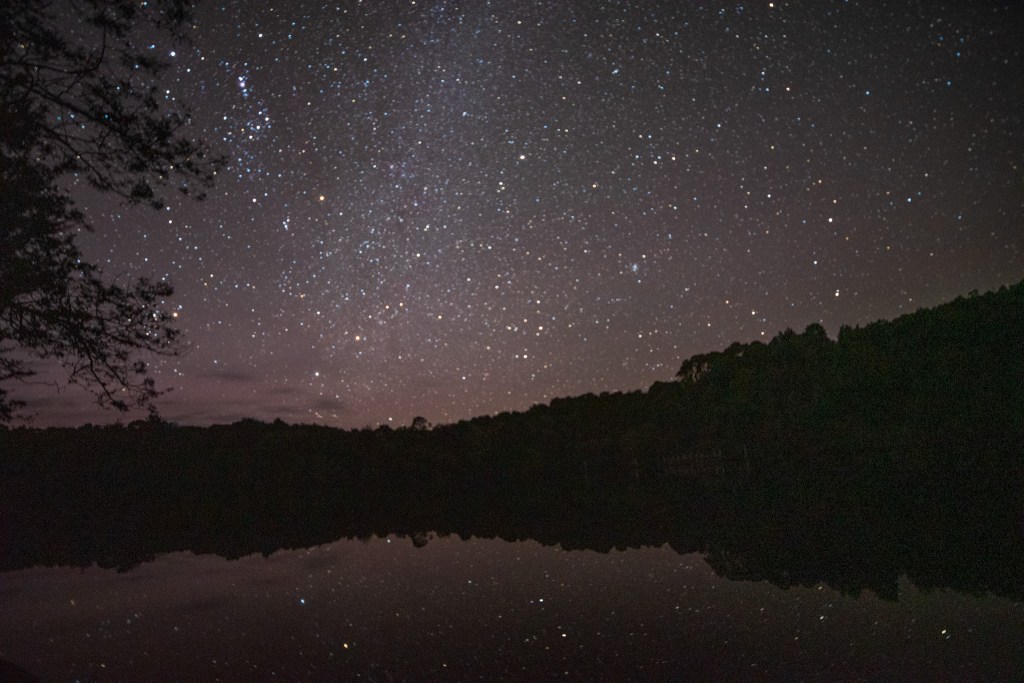
I was up again at 8.45 am and found the seas and swell a bit bigger, but still felt ok. Around 1 pm, I had another short nap, before dinner and bed at 6 pm. Once again I was up at midnight, and found that the seas had smoothed out. The full moon was a bright orange as it set over the horizon. It’s always a very special experience, all by yourself, out in the middle of the water.

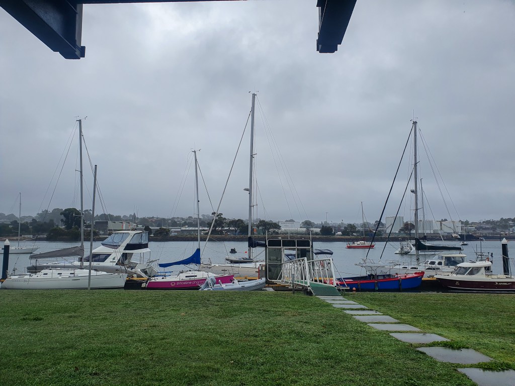
I slowed us down to 4 knots for a while so we wouldn’t arrive into Bermagui in the dark. Waking Matt at 6 am, we motored into Bermagui and had a fairly lively bar crossing just after sun-up. The little harbour was very full and when we found the berth we’d booked there was someone in it! Luckily he was onboard and moved his boat down so we could tie up. And then we were in. We’d done it. Although we were both exhausted, we felt happy, proud and relieved. We’d made it. It was an incredibly good feeling.

Our circumnavigation was now complete and our holiday was over. Now our mindset would be on heading north, and into the next phase of our life.

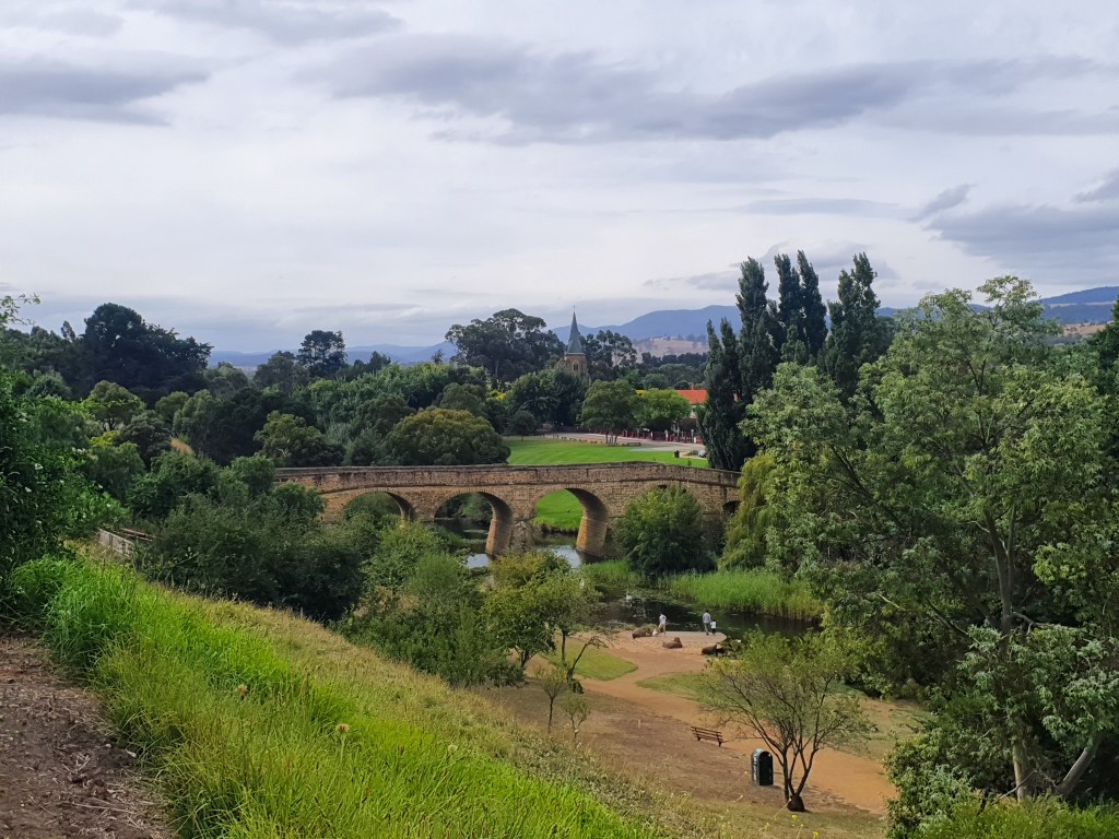
We spent a week in Bermagui, resting up and waiting for the right weather to move on, then we visited Brian and Sandra from Sealeaf in the Shoalhaven River, staying on their friends mooring for four days. Next stop was Sydney Harbour where my Mum came to visit for a few days. In Sydney we also hosted my friends Tim and Tania and their three kids overnight. It was busy and crowded on the boat, but lots of fun!!

Sydney is where I left the yacht; flying up to Cairns to settle into our new house and start work. Harj joined Matt for the passage up to Coffs Harbour and then Brain’s nephew, Glenn, joined Matt for the final passage to Mooloolaba.

And that is where Cool Change is now. Tied up safely on the dock outside our friends Dave and Michelle’s house in the Mooloolaba canals. Matt readied her for a long break and then joined me in Cairns. We’ve spent the past couple of months settling into our new home and lifestyle and Matt has found a job.

Life is good. Living in Palm Cove feels like a holiday. We are happy that we have made a good choice. And what of Cool Change? We plan to bring her up to Cairns in stages, over the next few school holidays. Little jumps to enjoy as much of the Queensland coast as we can. Once she’s back up here in Yorkey’s Knob, who knows what adventures she’ll have!!!

First, think. Second, believe. Third, dream. And finally,dare.

Walt Disney

The Gordon River

The alarm woke us at seven am to a morning sky bathed in soft pink and super still, glassy water. We set off straight away, heading out of the basin and back into the harbour. A low band of thick cloud blanketed the horizon, and with the pretty light and millpond water it was an incredibly serene and peaceful scene.

Reaching the mouth of the Gordon River we followed the red and green markers, avoiding a few shallow spots, and then we were in, cruising slowly upstream, the low cloud hanging just above the tree tops. The local yacht Stormbreaker passed us on her way out, having picked up a load of kayakers from the Franklin River.

The fog came and went, and as we wound our way up the river, the incredibly still conditions led to some amazing reflections on the water; trees and clouds mirrored perfectly in the glassy river. It was magical.

Early morning, Kelly Basin Macquarie Harbour
Gordon River, Macquarie Harbour
StormBreaker, Gordon River
Low clouds on the Gordon River
Gordon River
Gordon River reflections
Gordon River
Gordon River
Gordon River reflections
In the clouds, Gordon River

Anchoring just past the pontoon at Heritage Landing, we tied our tender to the jetty and followed the little boardwalk through the rainforest. Part of the Tasmanian Wilderness World Heritage Area, the cool temperate rainforest receives two and a half metres of rain per year and has been free of fire for thousands of years. It is an ancient forest, with several of the Huon pine trees purported to be up to three thousand years old. Growing at a rate of one millimetre per year, the Huon pine is the slowest growing tree in the forest and the location of the very oldest trees is a tightly kept secret, known only to a selected few timber scientists.

Heritage Landing, Gordon River

Nevertheless, the Huon pines that we saw were magnificent, and knowing of the slow growth rate, it was mind boggling to estimate their age. There were also celery top pines, blackwood, sassafras and myrtle beech trees growing in abundance. It was a special place to be able to visit all by ourselves.

And we had timed it well, for not long after we returned to Cool Change and were cooking pancakes for breakfast, the first tour boat showed up. Waving goodbye, we pulled our anchor and headed upstream. From now on, we would have the entire river to ourselves.

And what a trip upstream it was. The fog cleared, the sun came out and we delighted in the sight of absolutely perfect reflections where it was hard to tell where the riverbank ended and the water began. We took turns at the helm so the other person could sit up front and take it all in. What incredible weather. What incredible timing. We felt incredibly lucky.

Gordon River, Macquarie Harbour
Gordon River
Gordon River
Gordon River
Gordon River
Gordon River

Reaching the jetty at Sir John Falls, we tied up and determined that we could definitely stay there for the night. The pontoon is used by the yacht StormBreaker, but visiting yachts are free to tie up if StormBreaker isn’t using it. It seemed we were in luck.

Sir John Falls Landing, Gordon River Drone pic
Sir John Falls Landing, Gordon River
Cool Change at the Sir John Falls Landing, Gordon River

We wandered back to the Falls and explored the little walking track to the newly refurbished Rafter’s Hut. This is the spot where rafters and kayakers finish after paddling the Franklin River, and wait to get a lift out on either StormBreaker or a seaplane.

Sir John Falls, Gordon River

I had read that there were glow worms near the falls, but we didn’t manage to see any unfortunately. The conditions were perfect for some night sky photography, however, and Matt set up his tripod on a little beach near the hut. With not a soul for miles around, there was almost no light pollution and the stars were reflected in the still water below, astonishingly bright and clear. It was another magical experience.

Star reflections, Gordon River
Night sky, Gordon River

It was also incredibly cold and we piled extra blankets onto our bed. I was so thankful for my ugg boots that my Mum had dropped over to Matt when he flew back to Melbourne. They were a game changer. I would strongly advise anyone going sailing in Tasmania to pack your ugg boots, even in summer! You’ll thank me for it!

After a great night’s sleep we woke to some light rain, but Matt was still able to put the drone up to capture another perspective of this awesome wilderness that we were right in the middle of.

Gordon River Drone pic

The rain was not enough to put us off exploring upstream to the Franklin River, so we threw on raincoats and jumped in our tender. The sky was overcast, but even with the light drizzle it was very still and there were some good reflections in the water as we slowly motored up the river. Some big splashes had us wondering ‘what the?,’ and turned out to be a couple of dolphins. All this way up the river…… amazing!

We reached the Franklin and began heading upstream, pushing into the current. Although several friends of ours had managed to navigate a fair way upstream, we were both pretty sceptical about the ability of our little inflatable and we were right. We pushed hard to get through the first set of little rapids, but then it just got too shallow. With the bottom of the tender scraping over jagged rocks and riverbed, the thought of a deflated tinny and the resulting very long swim/ bushbash back to our boat was enough to make us pull the pin.

Rafting the Franklin River had been a long held bucket list dream of mine and we’d done that back in 2015. It had been such a special experience, and I was really glad that we’d been able to revisit on this trip, even if briefly. Although not for the faint hearted, I would highly, highly recommend checking out rafting the Franklin for not only an incredible adventure but also a very special wilderness experience.

Franklin River
Franklin River
Franklin River
Franklin River

Making our way back downstream, we stopped off at Warner’s Landing for a look around. The landing was built by the Tasmanian Hydro-Electric Commission as the base for the construction work on the infamous and ill-fated Gordon-Below-Franklin-Dam. In December 1982, a non-violent protest against the dam was staged at Warner’s Landing. It came to be known as the Franklin Blockade and was ultimately successful. We all owe a huge debt of gratitude to those brave and committed protesters.

Scrambling ashore, we discovered a clearing at the top that was pretty much just a muddy bog with soggy and swampy ground underfoot. With every step, my feet would sink into the boggy ground, so that my sandals were soon caked with a thick layer of mud. Gingerly following a little trail out of the clearing, we stumbled across a much larger cleared area, where we assumed the Hydro-Electric Commission’s bulldozer had been landed. After wandering around the clearing for a while, we spotted what appeared to be a trail leading into the forest. It was marked by pieces of orange tape tied to trees and where it led we had no idea. But we were game to find out. The tape led us on a meandering route through the forest, climbing up and over logs and weaving in between trees.

After some time, we began to wonder if the track did actually lead anywhere, or if we were on a wild goose chase. On any account, we still had to return back all the way we had come – and exactly the same way we had come. We followed the pieces of tape back, and when we could not easily spot the next one, Matt would stand still, while I searched ahead for the next marker. We knew that it would be all too easy to get lost in this wilderness.

Exploring at Warner’s Landing, Gordon River:

Our wet and muddy feet were now very, very cold, so it was time to head back to the boat to warm up. We did a few minor maintenance jobs and then decided to move back down to Macquarie Harbour. We were pretty sure that StormBreaker was coming back to its jetty that night, and we had a potential weather window to move up the coast. As nice as the river and harbour were, being stuck here for weeks on end was not a possibility that I relished. The clock was ticking again, and it was time for our last big sail up the west coast. Our time in Tasmania was coming to an end.

Time spent amongst trees is never wasted time.

Katrina Mayer

Exploring Macquarie Harbour

After safely negotiating Hells Gates, we were in the blessed calm of Macquarie Harbour. Although very narrow and not unchallenging to enter, the actual entrance was fairly unimpressive and unimposing and it turns out that the name Hells Gates has nothing to do with geography, rather it was the name given by the convicts sent here in the 1800s, when it was considered one of the most brutal and harsh convict prisons ever created. We were to discover a lot more about the penal history of the area over the next week.

But our first stop was Strahan, a charming waterfront village. After a bit of a rest and a good tidy up, we headed to shore to stretch our legs. Wandering along the waterfront we had lunch at Molly’s Cafe and checked out the laundromat facilities for later. Before heading back to the boat for an afternoon siesta we booked our tickets to that evenings performance of ‘The Ship That Never Was.’

Strahan, Macquarie Harbour

Although theatre productions are not generally our thing, this show had been highly recommended by several friends and it was just one of those things that one did when in Strahan. The show, touted as Australia’s longest-running play, has been performed in Strahan since 1994 and tells the dramatic true story about the last great escape from Sarah Island. Based on real events in 1834, it was very well performed and very funny. We would both recommend it as a must do when visiting Strahan. But when you do go, make sure to rug up. It was so cold in the little outdoor amphitheatre that the organisers handed out piles and piles of blankets to audience members. It had also sold out, so it was lucky we had pre-purchased our tickets. The Pub was also booked out, so considering how exhausted we both were, we headed straight back to the boat for an early night.

Feeling refreshed after a good sleep, we had a busy day of jobs. We moved the boat to the fuel dock, filling up with diesel and water and giving her a good hose down. Lots of people stopped by for a chat. I don’t know why, as it wasn’t holidays or a long weekend, but the town was chockers, with the Pub booked out both nights and the tour boats booked up for the whole week. Maybe this was normal for Strahan?

We used our new trolley to drag our laundry and groceries around, and after sneaking in a quick shower at the caravan park, went back to the boat to put it all away. While I was hanging laundry up around the boat to dry, I noticed a bee, but thought nothing of it, other than being careful of where I stood. Then I saw another, and another. Hmm, that’s a bit strange, I thought, going inside to warn Matt. Emerging just a few minutes later, there were bees everywhere. And they just kept coming. They seemed to appear from nowhere. One minute, there’d be a couple of bees in a particular spot, then you’d glance away, and a second later, there were four or five more in that same spot. They weren’t buzzing around or moving much, they seemed very lethargic. And it didn’t seem as if they were actively flying to the boat, it was more like they were floating down out of the sky and just landing on the boat.

It was truly weird, but it was giving me the heebie-jeebies. I don’t react badly to a bee sting, but Matt does, so being around that many bees was quite worrying. I really don’t like killing bees, but we did try to flick some away into the water, but after a while there were so many that it was pointless. Both barefoot, and dodging the bees, we decided the only thing to do was to shut all the hatches and bail off the boat for the afternoon. I could only hope that they hadn’t decided to set up home here and would eventually move off. I googled bee behaviour and swarming – is that what this was? There were also a heap of dead bees in the water around the boat. Surely this wasn’t normal? As it turned out, when we returned later that evening, there was not a bee to be seen. I still have no idea what it was all about. If anyone can tell me, I’d love to know.

We walked to the nearby People’s Park and Hogarth Falls, soaking in the peaceful atmosphere of the huge trees and ferns. It was very green and very pretty. Ending up at the Pub, we spent the rest of the afternoon in front of an open fire with a wine or two.

Matt at Hogarth Falls, Strahan

Leaving Strahan, we motored across the harbour to Sarah Island, dropping anchor outside the tiny island just as a tour boat docked on the other side. From 1822 to 1833, Sarah Island housed a penal settlement that was feared for its incredibly harsh and brutal conditions. Windswept and barren, it was regularly blasted with the full force of the Roaring Forties as well as relentless rain. It was seen as a highly secure location, partly due to the isolation of the island itself, but also due to the fact that any convict trying to escape had not only to get across the harbour but to hack their way through the impenetrable rainforests of the west coast. There are some incredible tales of escape attempts, some even involving cannibalism, with almost all failing spectacularly.

Described as “a place of degradation, depravity and woe,” it was reserved for the worst behaved convicts and repeat offenders and it must literally have been hell on earth. Although primarily chosen for its isolation, the island was also intended to be a place of industry and the convicts were put to work. The surrounding rivers were lined with Huon pine trees, a timber that was ideal for shipbuilding and convicts laboured under the harshest of conditions in the rainforest, felling Huon pines for boat building. In just a few years, this tiny convict outpost became the largest shipbuilding yard in the British colonies.

I had read several books based on real life stories from Sarah Island and was keen to see the island for myself. We wandered through the site, marveling at the stark juxtaposition of the convict ruins against the incredible beauty of the surrounding wilderness.

Sarah Island, Macquarie Harbour

Departing Sarah Island we motored across to Kelly Basin where the twin towns of East and West Pillinger once stood with a population of over 1000 people. In the early 1900s, East Pillinger was a bustling port town for the North Mount Lyell Mining Company’s rail line which ran from Queenstown bringing copper to be exported. The adjacent town of West Pillinger was a government town, boasting stores, hotels and a police station.

We explored the remnants of the two towns which included brick kilns, parts of buildings, giant metal boilers and an old wharf. It was amazing how the bush was growing over, on and through the ruins, covering bricks with moss and subsuming the structures back into the forest.

West Pillinger, Kelly Basin, Macquarie Harbour

East Pillinger, Kelly Basin, Macquarie Harbour:

Back on the boat, we spent the afternoon enjoying some sunshine and the calm, calm conditions. Matt put the drone up to capture the vast expanse of the harbour, which is six times the size of Sydney Harbour.

Macquarie Harbour Drone pic
Kelly Basin, Macquarie Harbour

It was early to bed and on with the alarm as we planned to rise at sun-up to cruise up the Gordon River. It had been eight years since we last visited the majestic river and I couldn’t wait to be back there.

If bees only gathered nectar from perfect flowers, they wouldn’t be able to make even a single drop of honey.

Matshona Dhliwayo

A Wild Ride Up to Hells Gates

‘I think we should sell the boat and buy a caravan,’ I said to Matt as I lay in our bunk, the boat bouncing and bucking underneath me, my stomach churning and head throbbing. I had had enough.

We were sailing up the lower part of the west coast of Tassie, on a 90 mile trip to Hells Gates, the entrance to Macquarie Harbour. But unlike our previous passage around the south west corner into Port Davey, this time the west coast was not so benign. This time we found ourselves confronting the notoriously wild west coast in some of its glory. It would turn out to be one of our most difficult trips yet.

But let me take you back…

Having managed to get a long range weather forecast using the internet at Melaleuca, we identified Sunday as a good day.  Winds were forecast to be westerly, tending south-westerly and then southerly – perfect for us as we’d be heading north-west up the coast.  Even more exciting was the week of very settled weather ahead, light, light winds for the rest of the forecast. Of course, it was too soon for the predictions to be incredibly reliable but it was definitely a good sign. I was pumped. Everything seemed to be falling into place.

We had had five great days at Port Davey.  Even though the weather hadn’t been perfect, considering what it could have been, we were pretty grateful and had made the most of it.  Although you could obviously spend a lot longer exploring the area, time was ticking and there was the ever present fear of being stuck!  So we were thankful for the time we’d had, and what we’d been able to see and do and now it was time to move on.

It was ten past eight in the morning when we hauled our anchor, and set off, motoring past the Breaksea Islands and through the South Passage, out to the entrance of Port Davey.  It was cold, foggy and grey. I had my one-piece Fladen suit on, as well as thermals, gloves, beanie and ugg boots.  Hoisting the mainsail as we left Port Davey, we were dismayed to find the wind was smack bang in front of us, a north-westerly.  Oh well, we said, hopefully it will swing soon.  But it didn’t.  The wind remained stubbornly on our nose for the next 12 hours.  Yep, 12 hours.  There was nothing we could do but push into it.  Our boat speed dwindled to two to three knots. It seemed that not only were we punching into the wind, we were also pushing some current. Our long passage looked like taking even longer.

The swell was off the side, causing a fairly uncomfortable motion.  I managed eight hours sitting pretty much motionless at the helm, coping ok.  And then I was due another seasickness tablet, so I decided to lie down and see if I could nap for a bit. As it turned out, I barely moved for the next 10 hours.

Not long after dark, the winds did finally swing to the south-west and now we were actually sailing, the motor turned off. When Tas Maritime Radio broadcast the latest weather forecast, Matt listened intently. The weather situation was described as a cold front passing across the state with a high pressure system following. The winds were still forecast to tend south-westerly and then southerly. Out to sea, on the horizon, Matt observed a dark ominous looking cloud. He flicked the radar over to the weather function and saw a thick band of red stretching across the screen. Oh, Bummer! That meant strong weather activity, most likely entailing squalls and rain.

There was already one reef in the main, but assuming that the front would bring stronger winds, he decided to put a second reef in the main. He called me up and I struggled into warm clothes so that I could steer the boat into the wind, while he put in the second reef. Watching the cold front move closer on the radar, we started to feel the impact, with the winds increasing in strength.

As the cold front passed over and started heading towards land, the cloud had an eerie orange glow to it. The rain arrived, but only lasted for around half an hour. It was quite a narrow band. The strong winds associated with the front remained for about two hours. With the wind instruments constantly reading between 30 and 35 knots, the boat speed picked up to an average of seven to eight knots. With bursts of even faster speed, we were flying, making up for lost time during our extensive slow motor sailing from earlier.

Matt rode it out up top, letting the boom out so that we weren’t heeling over as much. Finally, around 10pm, the winds did drop a bit and swung further south. Still making good speed, Matt decided to drop the main and since the winds were now behind us, use the headsail only, as he could more easily adjust it to control our speed. The issue with going faster was that we didn’t want to arrive at Hells Gates in the dark. There was an anchorage outside where we could wait until daylight, but we were unsure what conditions might be like in there and so chose not to risk it. The wrong decision, as it turned out.

I pulled on my Fladen suit and a life jacket and went up top to help Matt drop the mainsail. We have an agreement that neither of us goes outside the cockpit at night, unless the other is up and watching. No matter what. That night I was called up three times. It was completely dark, a pitch black moonless night. The boat was lurching around, rocking and rolling in the large swell.

I steered the boat into the wind and Matt dropped the sail. Then he headed forward to secure the halyard and zip the sail into its bag. Stupidly, we hadn’t put out the jacklines earlier when we should have, and so now Matt did not have the long lengths of line to clip his tether onto. He made his way up to the mast carefully, clipping on where he could. The lurching movement of the boat was throwing him around, but he was managing to keep his balance as he reached up awkwardly to deal with the sail. I watched intently in the darkness, keeping my eyes fixed firmly onto him.

And then, seemingly in a second, he was gone, flying straight towards the edge of the boat. I screamed. Matt!!! Holy ####. A bolt of fear shot through me. I couldn’t see him. Just his tether stretching out from the mast. It was my absolute worst nightmare. Completely terrifying. It seemed an eternity, but within a second, he was scrambling up, calling out, ‘I’m ok, I’m ok, I’m ok.’

Heaving a sigh of relief, I thanked the gods. Matt finished up with the sail and made his way back to the cockpit. I was shaking, still shocked by what had happened. But Matt was exhilarated, adrenaline pumping through him.

After calming down, I went back to bed, although no sleep was had in the horrible rocking motion. At 2am I got up to give Matt a break. Sitting downstairs, watching the tablet that was synced to our chartplotter, and clutching a spew bag, I felt worse than I can ever remember. With just a tiny bit of headsail out, and in the four metre swells, the boat was bouncing and rolling, up and down, back and forth, side to side. The movement was never ending. I felt like I was in a washing machine or on the world’s worst roller coaster ride. In the cupboards, things were clattering around, a constant clink, clank, clink, clank being the soundtrack of my nightmare. The floor was strewn with things that had fallen from shelves.

At 3am, Matt popped his head out, ‘Are you ok to stay up a bit longer?’ he asked. Numbly, I nodded, but it was the last thing I felt like doing. Matt turned to go back to bed, but then he changed his mind. I must have looked as bad as I felt. ‘You go lie down,’ he said and I wasn’t about to argue, gratefully heading towards the bed. But as I got there and started removing layers of clothing, my body revolted and I started vomiting. Three spew bags later, I lay my head on a pillow, and willed this trip to be over.

Matt remained up and when he neared the entrance to Hells Gate around 4am he circled around a few times, waiting for daylight. Once the sun rose, I emerged up to the cockpit and we headed for Macquarie Harbour. The seas were still lumpy and a big swell was still rolling through. Approaching Hells Gates we concentrated intently, lining up the boat to go through the narrow channel while waves broke uncomfortably close by in the shallows just off to our side.

And then we were through. Into the calm, calm waters of Macquarie Harbour. I sent Matt to bed for a well deserved and much needed sleep, and guided the boat across the harbour to Strahan. We had made it. Once everything was tidied up, it turned out the only damage had been to a clip on the extra sunshade over the cockpit. It had snapped in the strong winds. Not too bad a result at all.

We were now halfway up the west coat, with just one more long passage to go to get us to the top of Tassie. But I didn’t have to think about that now. Because right now we were in wonderfully sheltered waters with a week of incredibly calm weather ahead of us. It was time to explore Macquarie Harbour and the Gordon River. I’d been looking forward to this for ages and couldn’t wait.

Hells Gates, Macquarie Harbour

That which does not kill us makes us stronger.

Friedrich Nietzsche

Port Davey: Part Two

Casilda Cove, about halfway along the seven mile Bathurst Channel ended up being our anchorage for three nights. After hiking back down Mt Rugby, we moved Cool Change from Iola Bay into Casilda Cove. Although all was still at the moment, our weather forecast indicated some strong winds for the following day, and Casilda Cove had been recommended to us as the best storm anchorage.

We also wanted to try out the technique of anchoring stern-to; that is dropping the anchor, then backing the boat up and tying it off to one of the saddles on shore. We had never tried this manoeuvre before and figured it would be best to make our first attempt in the calm conditions, rather than waiting for the weather to pick up.

We gave it a go and after a few very inelegant attempts, were finally anchored with our stern tied off to the shore. We spent a quiet afternoon chilling on the boat, but eventually became concerned as we started to drift sideways towards the rocks, instead of being pulled off the bank. Releasing the stern line, we remained on anchor, barely moving in the eddies of the little bay. That night the winds picked up, whistling over the top of us, but we barely felt anything, so protected were we in our little spot.

The next morning, with Matt having re-thought through the process, we reset the anchor and attached the stern line. This time it was text book.

Cool Change anchored in Casilda Cove, Bathurst Channel

Walking up the nearby Balmoral Hill, we gained great views back down over Casilda Cove and across to Mount Rugby. The skies were blue and snippets of sunshine shone through. Once again we were following a pretty defined track through knee high tea-tree and buttongrass and once again I’d forgotten to put my gaiters on. More cuts and scratches for our legs.

Casilda Cove panorama from Balmoral Hill, Bathurst Channel
View of Casilda Cove from Balmoral Hill, Bathurst Channel
Climbing Balmoral Hill, Bathurst Channel

Making the most of the temporary break in the weather, we took the tender further down the cove into Horseshoe Inlet and then discovered a little waterfall with incredibly clean and pure water flowing through it. Not crystal clear, due to the tannins, but lovely and fresh.

Cool Change anchored in Casilda Cove, Bathurst Channel
Waterfall, Casilda Cove

Late afternoon saw the rain return and the temperature drop. When the strong winds once again blew through, we were pretty much unaffected and barely moved, tucked in tightly as we were. Matt managed to put the drone up, catching the more moody colours of the darkening skies.

Cool Change anchored in Casilda Cove, Bathurst Channel Drone pic
View of Mt Rugby from Balmoral Hill, Bathurst Channel

Melaleuca, the site of the only settlement in the area was our next destination. Incredibly tiny, it consists of an airstrip for light planes, a Parks and Wildlife Services Ranger’s Hut, walkers huts, a campground, two private leases and proper toilets. Additionally, and very attractively to us, it also boasts publicly- accessible internet access. We were keen to log on to some weather apps in order to check a more detailed long range weather forecast and determine when we might have a weather window for the next passage north.

I was especially keen to visit Melaleuca, having just read a biography about Deny King who had spent fifty-five years living in the Port Davey area, basing himself at Melaleuca where he had a tin mine. An incredible man with an incredible life story, it had captured my imagination and I was keen to see for myself all the places I’d so recently read about.

So moving Cool Change around into Bathurst Harbour, we anchored at Clayton’s Corner and took the tender up Melaleuca Inlet into Melaleuca. We wandered around the site, visiting the Deny King Heritage museum and chatting to hikers at the campground. It was fascinating to see a place I had pictured in my head and imagine how tough, but also rewarding, a life would have been in this most wild and remote of places.

Boardwalk to Melaleuca airstrip
Melaleuca airstrip
Melaleuca panorama
Melaleuca Inlet

Back at Clayton’s Corner we had a quick wander through Win and Clyde’s house (Deny King’s sister and brother-in-law) as well as a walk up Clyde’s Hill.

Clyde and Win’s House, Clayton’s Corner
View from Clyde’s Hill, Clayton’s Corner

The weather looked to be closing in again, and with neither the Clayton’s Corner anchorage or the nearby one at Kings Point looking comfortable, we retreated back to our tried and true spot at Casilda Cove. Motoring back down the channel, it was icy cold and very windy. Unfortunately, there was a fishing boat now anchored in our spot, so we tied up to a different saddle. Not so textbook this time, it took us a few attempts, but with the help of the guys in the fishing boat we eventually got there. This time we put out a second stern line, ensuring that we wouldn’t swing at all.

For our last day in Port Davey we decided to go and check out the Davey River. We hit some swell once we exited the protection of Bathurst Channel and motored out through the North Passage but once up in Payne Bay, the waters flattened out. Anchoring at Carvers Point, we jumped in the tinny and headed for the river. Once safely across the bar, where a wave almost crashed on top us, it was an easy trip about 5 km upstream to the gorges.

The gorges were lovely and we ventured up a few very minor rapids before deciding not to push it any further. Floating back down, we soaked up the stillness and silence, just enjoying the beauty. There were a couple of places where the water was still enough for some amazing reflections in the crystal clear water.

Davey River, Port Davey
Davey River Gorge, Port Davey
Negotiating rapids on the Davey River, Port Davey
Davey River, Port Davey
Aaah, the serenity!!
Davey River Gorge, Port Davey
Reflections, Davey River, Port Davey
Davey River, Port Davey
Reflections, Davey River, Port Davey

We stopped on the way back for Matt to put the drone up. It always amazes me what a different perspective you get from the sky. Here are some of his pics:

Matt putting up the drone, Davey River
Davey River Drone pic

By the time we got back to Cool Change, the wind had swung and the swell was sweeping in. Time to move. We made our way south to Spain Bay, but found it too swelly, then we tried Hannan Point but thought it was a bit tight. With the light fast dwindling, we hightailed it back to Bramble Cove, anchoring on the opposite side, off Turnbull Island.

We had had an incredible five days in Port Davey and Bathurst Channel. Although you could obviously spend many, many more days exploring, we were grateful for the time we’d had and everything we’d been able to do and see in this special place. The weather had been pretty kind to us, and now it was time to tackle another west coast passage on our way north to the infamous Hells Gates at Macquarie Harbour. Unfortunately, we didn’t have the benign conditions or comfortable passage that we were hoping for, but that’s a story for another blog.

The earth has music for those who listen.

William Shakespeare

Port Davey: Part One

Port Davey lies in the southwest corner of Tasmania. Long heralded as one of Tasmania’s most spectacular and remote wild places, it is exposed to the strong westerly winds of the Roaring Forties and is a place of raw, untamed beauty. Together with the adjoining waters of Bathurst Channel and Bathurst Harbour, Port Davey is considered to be the most pristine estuary in southern Australia.

As well as an extraordinarily beautiful landscape, showcasing gold-green ranges, with bony quartzite ridges rising sharply above the rust coloured waters, there is an incredibly unique and and fragile underwater environment. The freshwater that flows from rivers and creeks into Bathurst Harbour and Bathurst Channel is stained a dark tea colour by the tannins leaching out of the peat rich soils. A phenomenon known as ‘deep water emergence’ occurs here due to the deep layer of dark coloured freshwater (which is lighter in weight than dense seawater) restricting light penetration. It means that deep sea marine species which are normally only found in deep off-shore waters, are seen here in depths of less than forty metres.

It is indeed an incredibly rare and precious environment, and both the waters and land surrounding the Port Davey area are protected by a marine reserve and a national park. The area is accessible only by boat, light plane or on foot. We had heard and read a lot about the beautiful wilderness of Port Davey and felt very priviliged to be able to experience and enjoy it in our own boat and in our own time.

Bramble Cove, just outside Bathurst Channel and in the protection of the Breaksea Islands was our first anchorage. Nestled underneath the imposing Mt Stokes and Mt Milner, it was an incredibly beautiful and serene little bay.

Mt Stokes and Bramble Cove, Port Davey
Happy Hour anchored in Bramble Cove, Port Davey
Bramble Cove, Port Davey

It was cloudy but very still, as we hiked up to the top of Mt Milner. The steep, narrow track was well worn and muddy in parts. Expansive views greeted us from every direction and we spent a while just soaking in the dramatic beauty, our first taste of this magical wilderness. We met Ross and Nicki from Happy Hour, who turned out to be friends of Gary and Mil from Ciao Bella. It’s a small world in this cruising community!

View of Bramble Cove from Mt Milner
Panorama from Mt Milner, looking over Bramble Cove
View of South Passage and the Breaksea Islands from Mt Milner
View of South Passage from Mt Milner
North Passage panorama from Mt Milner
Matt and I on Mt Milner, Port Davey
Matt taking photos on Mt Milner
Views from Mt Milner, Port Davey
Me on Mt Milner, with Bramble Cove behind
View from Mt Milner, Port Davey
Views from Mt Milner, Port Davey
Walking back down Mt Milner, Port Davey
Mount Stokes and Bramble Cove, Port Davey Drone pic

Moving on from Bramble Cove, we anchored in the tiny Wombat Cove but couldn’t find the walking track that was supposedly there, so continued on again to Parker Bay, anchoring just outside of the No Anchor Zone. Onshore we visited the grave of Critchley Parker, a hiker who perished here in 1942 and put the drone up to capture the full majesty of the towering Mt Rugby; the tallest mountain in these ranges.

Parker Bay panorama, Bathurst Channel
Parker Bay, Bathurst Channel Drone pic
Bathurst Channel Drone pic
Mountain range, Bathurst Channel Drone pic
Mt Rugby and Bathurst Channel Drone pic

The following day dawned cold and cloudy. We had several options of where to go and what to do and kept changing our minds, but when climbing Mt Rugby became the plan, it was all action. We anchored Cool Change securely in tiny Iola Bay and took the tender almost directly across the channel to where the hiking track began. It was still and calm, but ominous clouds were building in the distance. We decided to give it a go anyway and keep an eye on the clouds. If we had to turn back, then we would.

The track was obvious, a narrow path carved out of the thick grass and shrubs which was knee high, but oftentimes became waist high or even a fully enclosed tunnel through dense trees. In the rush to get moving, I had forgotten to put on gaiters or grab my hiking poles. We were soon wet and muddy and covered in cuts and scratches all over our legs.

But I didn’t care, it felt great to be moving and I enjoyed the exertion of the uphill climb. And every time we would stop and pause to look around, the most amazing views, extending far down the channel, were there to enjoy. The islands dotting the water looked tiny and our boat was a miniature speck.

About halfway up, we stopped at a saddle where we had almost 360 degree views, including out into Bathurst Harbour. But the low dense cloud that Matt had been monitoring was rapidly moving our way. He estimated that it would soon be on top of us, most likely bringing rain. It had been a steep walk up, meaning it would be a steep and slippery walk back down.

Reluctantly, we turned around. There didn’t seem much point in continuing to the top if we were going to be in a white-out and the prospect of a long slippery walk in the rain wasn’t overly appealing. I was grateful that we’d at least been able to do what we did. An hour later we were back at the bottom of the mountain. The rain hadn’t eventuated to much but the top of Mt Rugby was covered in cloud and remained so for the rest of the day.

Panorama from Mt Rugby, Bathurst Channel
View of Cool Change anchored in Iola Bay from Mt Rugby
View of Bathurst Channel from Mt Rugby
Hiking up Mt Rugby, Bathurst Channel
Buttongrass, Mt Rugby, Bathurst Channel
Cloud closing in, Mt Rugby, Bathurst Channel

From here we made our way back down the channel to Casilda Cove. It was incredibly still and quite eerie. Like the calm before a storm. Securing ourselves in the little anchorage, we reflected on how lucky we were. Although it was very cold, we’d had two days of fairly dry and still weather and managed to cram in a heap of sights.

I was also grateful for our timing. In the five days that we spent in Port Davey and the Bathurst Channel, we barely saw any other people, and in fact there were only six other boats in the entire vicinity apart from the tour boats. Compare this to earlier in the season, when there were dozens and dozens of boats dotting the anchorages. We definitely enjoy socialising and meeting other yachties, but there was something extra special about experiencing this remote and wild environment all on our own. We’d had an incredible first two days and I couldn’t wait to keep exploring.

Land really is the best art.

Andy Warhol

The D’Entrecasteaux Channel and Around to the Wild West

On the second of March we motored into Oyster Cove marina in Kettering. Matt was returning to Melbourne for his Aunty Liz’s funeral and I was to stay on the boat, using the time to do laundry and jobs. Public transport that far out of Hobart was pretty much non-existent, but fortunately the marina had a courtesy car that we could borrow. It also meant that we could stop off in the city for a quick dash into Myer to buy Matt a shirt and slacks to attend the funeral in. Funnily enough, we didn’t have any formal clothes on the boat, and seeing that all of our belongings were packed up in boxes ready to be trucked to Cairns, this seemed the best option. After dropping Matt off at the airport, I did a quick grocery and grog shop, getting the car back to the office just in time.

I spent the two days that Matt was away doing laundry, filling the water tanks and giving the galley and head a good clean. It was actually quite nice to have some time to myself, but I was definitely looking forward to Matt returning. Fortunately, I was able to borrow the courtesy car again so I was able to pick him up from the airport too. On my way out to the airport, I decided to take advantage of the car and do some sight-seeing.  I stopped off at Coal River Farm for lunch, bought fresh strawberries from the Littlewood Berry Farm and wandered through the old village of Richmond with its antique shops and art galleries.  The historic bridge is a feature and my Mum reminded me that I’d been there previously on a family trip back in 1994.

With Matt back safely on the boat, it was time to turn our attention to the next stage; the notorious west coast. Heading around the bottom of Tasmania and up the remote west coast was not a journey to be undertaken lightly. Our guidebooks were filled with warnings of wild weather, treacherous seas and lengthy stays being trapped in either of the two safe harbours. But it is what we came to see and what we came to do. I would have been incredibly devastated if we hadn’t been able to circumnavigate the little island. We had been watching the weather carefully over the past few months, and there appeared to be a pattern of settled weather once every week or so. Having seen several weather windows come and go, we were now fully prepared and ready to go, we just needed the weather to play ball!

Disappointingly, once Matt was back the weather turned foul. A big front was forecast, bringing plummeting temperatures, icy winds, heavy rain and even snow! There was no way we’d be venturing south in those conditions. Although we’d planned on cruising around South Bruny Island when Matt returned, we decided to stay and wait it out in the relative comfort of the marina. And so we rebooked our berth, extending our stay into a full week. 

By this time, we were both feeling quite unsettled and uncertain. Time was ticking and the conditions just didn’t seem to be in our favour. It was now only eight weeks until I was due to start my new job in Cairns. For the very first time in our cruising, we had a deadline. And I didn’t like it! But the commitment had been made and I was determined to honour it. So it was an anxious time, waiting and wondering. We also had to be realistic and so we set a limit. If we didn’t get a window in the next week, then we would have to cut our losses and return via the east coast. It would be devastating, but we both agreed. I am a dead-set optimist, but this was testing even my positivity.

With the decision made, it was time to make the most of what we could. Each morning we’d head out to a little bay trail, Matt would run and I would walk. There were lots of pademelons in the trees, although these guys were a lot more skittish than those in the ‘unzoo.’ We took the courtesy car on a driving tour, south from Kettering through Middleton, Cygnet, Huonville, Franklin and Dover.  Orchards of apple trees covered this area, the trees heavily laden with fruit.  Another day we ventured to the nearby Snug Falls, which was pumping thanks to all the recent rain.

Track to Trial Bay, Kettering
Snug Falls, Snug
Snug Falls, Snug
Snug Falls, Snug
Snug Falls, Snug
Snug Falls, Snug
Snug Falls, Snug
Snug Falls, Snug
Matt and I at Snug Falls, Snug

Before the front came through, there was an incredibly still night and Matt took these pics in the marina:

Oyster Cover Marina, Kettering

Matt’s birthday was the day the cold front really arrived. The icy cold, strong winds and driving rain blasted us on and off throughout the whole day. We had definitely made the right decision to stay in the marina. Although we ventured out for a couple of walks, including getting caught in a downpour in the afternoon, we spent most of the day in the boat. The rain had cleared for our walk up to the Oyster Cove Inn where we had a lovely dinner to celebrate Matt’s birthday. We were also feeling better about our chances of heading south; there was a weather window for the following week that looked good. I was feeling positive again!

Finally leaving Kettering, we headed south down the D’Entrecasteaux Channel. In our three hour sail to Southport we saw everything from 1.5 knots of breeze to 30 knots. That’s Tasmania for you! It was cold, with just a few glimmers of sunshine penetrating the clouds briefly. At Southport we anchored next to a boat we’d met back in 2020 in the Clarence River. Gary from Ciao Bella was on the radio immediately, ‘Is that the Cool Change we met in the Clarence….?’ We confirmed that yes, it was indeed us and they invited us to join them for dinner at the Pub.

We’d originally planned to go to the Pub for lunch the following day, but we weren’t about to turn down an invitation for some company. Gary and Mil picked us up and we had a great time chatting with them and their friends. It was a fun night, just what we needed. We’d also now ticked off the southernmost Pub in Australia, having previously visited the northernmost and the westernmost. Important milestones of the trip!

Visiting Ciao Bella for an early morning coffee, we took our map of Port Davey and Bathurst Harbour and Gary and Mil filled us in all on their favourite spots and things to do. Locals, who have been cruising there for years, they are a wealth of knowledge and we were grateful for their generosity in sharing their tips. Their enthusiasm and love of the area was quite infectious and I found myself even more excited and more ready to go than ever.

After waving goodbye to Gary and Mil, we moved to the other side of Southport Bay, anchoring in Deephole Bay. A tender ride up the Lune River and a walk on Southport Bluff Track to Southport Lagoon filled in the rest of the day.

Deephole Bay, Southport

Recherche Bay, a short distance south was our next stop, and would be our jumping off point for the trip around the bottom. The weather window was holding, so we were full of hope as we sailed south. Adding to our positivity, the sky was blue, and the clouds were more white and fluffy than grey and menacing. Things were looking up.

The coastline was very pretty; towering mountains covered in dense green forest with strips of white beach bordering the water. Entering Recherche Bay, the water was calm and flat as we made our way to the anchorage at Sayes Beach. Wow, we both said. What a spot. The bay was gorgeous, the prettiest anchorage we’d been to in Tassie so far.

Recherche Bay
Cool Change anchored in Recherche Bay

Heading to shore, we found ourselves at Cockle Creek; ‘the end of the road.’ Cockle Creek is as far south as you can drive in Australia. Any further and you need to walk. The Southwest National Park begins here and there is a campground, which was chockers seeing as it was a long weekend in Tasmania. We did a short walk to the whale statue reading about the history of whaling in the bay in the early 1800s. Southern right whales used the bay for calving and as such were a pretty easy target. Within just twenty years, the global population of 100,000 southern right whales was endangered and the whaling industry collapsed. I find these parts of our history hard to comprehend. The Tall Ship ‘Windeward Bound‘ arrived and anchored near us, as a lovely sunset stole across the sky.

Whale statue, Cockle Creek
Sunset over the Tall Ship ‘Windeward Bound’, Recherche Bay

The next day we woke to low cloud and drizzle which lasted for most of the day. It was also freezing cold. We shelved our plans of hiking across to South Cape Bay. Cooped up in the boat we were bored and frustrated. When Paul and Marg from Akaroa, who we’d met the previous day, dropped by and invited us over for drinks we eagerly accepted. Byron and Lesley from Capalla II, were also there and we had a lovely evening chatting about cruising and Tassie.

Byron, Paul, Matt, me and Lesley on Akaroa, Recherche Bay Photo courtesy of Marg Drake

Up at first light the next day, it was finally time. The interminable waiting was over! We motored out of the bay with four other boats into a scene of muted blues, pinks and greys. Even once the sun broke through it was extremely cold!

Sunrise departing Recherche Bay

Conditions were pretty good; a swell of about two metres but no seas. For a while the swell was in front of us, so it was a bit bumpy and rolly but as we gradually turned the corner, the swell moved to the side and we had a pretty comfortable and smooth ride. Just after rounding the South East Cape, the most southern point of the Tasmanian mainland, my drugs kicked in and I dozed off. After emerging from my nap, I found us amongst incredible scenery; sailing in between rocky islands with impressive cliffs jutting sheer out of the ocean. They were stark and rocky, with no vegetation. It was quite a sight!

Sailing towards the South East Cape
Time for a nap

Around 5pm we approached the South West Cape. Famed for its wild seas and treacherous waves, I was incredibly grateful for the relatively benign conditions we were experiencing. Out came the cameras to record this extraordinary scenery.

Matt taking photos of South West Cape
South West Cape
South West Cape

As we approached the entrance to Port Davey, I gave a massive sigh of relief and satisfaction. We had made it. Finally. A huge milestone achieved. Now it was time to relax and just soak in the beauty and the wonder of this most remote and special wilderness.

Entering Port Davey
Entering Port Davey

The key to everything is patience. You get the chicken by hatching the egg, not by smashing it.

Arnold H. Glasow

Norfolk Bay, Bruny Island and the Huon River

Sailing down the Derwent River and under the Tasman Bridge, we passed into Storm Bay and turned north into Frederick Henry Bay. With the variable winds, it was in and out with the headsail. Although it was pretty grey and overcast, we were happy to be back out on the water, and the sun made a welcome appearance in the late afternoon. We are constantly amazed at the difference that a few rays of sunshine can make to our moods and our experience. We anchored in the calm conditions of Lime Bay in Norfolk Bay, but unfortunately it became a bit bumpy throughout the night.

It was cold, foggy and grey as we motor sailed across the bay to Taranna the next morning. Thermals, beanies and our wet weather gear came out. In the icy wind, I was shaking with the cold, my feet frozen, as I stood on the bow waiting to grab the mooring buoy. After tying onto the MAST mooring, we chilled for a few hours while we waited for the rain to pass. And pass it did, so later that day Matt rowed us over to the little jetty. How I do love being able to step straight onto a dry dock, instead of wading through cold water onto a sandy beach!!! Life really is about appreciating the small things.

We wandered up to the Tasmanian Devil UnZoo, but being so late in the day and seeing as Matt didn’t have his camera, we decided to return the next day so we could do the park justice. Instead, we stopped for ice creams at the Tasmanian Chocolate Foundry and I may have bought a block of chocolate too.

Little Norfolk Bay, Taranna

The UnZoo, according to its website is ‘..a reversal of the traditional concept of a zoo. Instead of animals in enclosures for the benefit of humans, an UnZoo invites visitors into natural habitats in which cages or barriers are removed or concealed, and wild, as well as resident animals, are encouraged to interact with the environment.’

We attended several talks on Tassie devils, which included a feeding and learnt an astonishing amount about an Australian creature I’ve only ever laid on eyes on a few times, and never in the wild.

First up we were warned never to try to pat a devil. A Tassie Devil has the strongest bite for its size of any mammal in the world and their incredibly strong and powerful jaws can easily crush bones. Being carnivores, they eat only meat; birds, snakes and other small mammals and they leave no leftovers, consuming absolutely every part of the prey; bones, feathers and fur all included.

They were named devils for the sound they make. European settlers heard unearthly, blood-curdling shrieks and growls from deep within the bush, making them imagine that demons surrounded them in the wilderness.

A female Tassie devil gives birth to around 20 to 40 joeys at once, each the size of a grain of rice. However, these joeys have to race to her pouch, which only has four teats and only the four joeys that attach to a teat will survive. They will spend around three months in the pouch until they are fully developed, and then another three months or so in the den.

We watched these devils, so cute and innocent looking, absolutely attack and completely consume their meal, a piece of wallaby, in just a few minutes.

Tasmanian Devil, UnZoo, Taranna
Tasmanian Devil

We wandered the remainder of the ‘zoo,’ feeding and patting the very docile kangaroos, watching the pademelons (a type of wallaby found only in Tasmania) and spotting some native birds. It was well worth the visit and we’d both thoroughly enjoyed our morning there.

Feeding and patting kangaroos:

Tasmanian Pademelons:

Some of the wild birds that came to say hello:

View over Little Norfolk Bay from The UnZoo

Back on the boat, we found that the icy cold southerly had returned, reaching over 25 knots at times, so after sailing right around Norfolk Bay, we retreated back to our anchorage at Lime Bay. Fortunately, the next day dawned sunny and still. It was absolutely gorgeous. We motored back around the corner in the super flat water and anchored off the Coal Mine Heritage Site.

We had been here before and Matt was particularly keen to anchor here again. That previous time, in 2014, had been our very first time on a yacht, on an overnight charter on the 65 foot yacht Helsal IV. It had been an amazing adventure for us, so far out of our realm of experience at the time, and we wanted to return with our new perspective. And it was indeed a very different perspective that we now had, here in our own yacht. What had seemed so extraordinary and adventurous all those years ago, was now just a routine, every day occurrence for us. It was another demonstration of just how far we’ve come. It’s also a pretty cool place to visit and we enjoyed wandering around the ruins again.

Coal Mine Heritage Site, Norfolk Bay
Matt rowing the tender back to Cool Change
Cool Change anchored at Plunkett Point, Norfolk Bay

And just for a few giggles, here is a flashback photo – Matt and I onboard Helsal IV in December 2014. I don’t think we’ve changed one bit!!

Matt and I, December 2014

Leaving Norfolk Bay, we had a good sail south in following seas to North Bruny Island. We anchored in deep water at Quarantine Bay, Barnes Bay. The next day we explored the Quarantine Station, just a short walk up the hill from the jetty.

Quarantine Station, North Bruny Island

That night the water was incredibly flat and still and the night sky was bursting with stars.  Matt decided conditions were good enough to try taking some photos.  We’d also just become aware of the Aurora Australis and it was our new obsession – to see one with our very own eyes and also to try to capture one in a photo.  The Aurora Australis is the ‘southern lights’ and somehow, although seeing the northern lights (Aurora Borealis) was on my bucket list, I’d never realised you could see the Aurora right here in Tasmania.  The photos that people were posting in the Facebook page showed that it was definitely possible.

The previous night had been a no-go, but on this very still night we did indeed manage to capture something.  It was not really visible with the naked eye, but it can be seen in Matt’s photos below as the greeny yellow and pinky glow. Pretty cool, I reckon!

Aurora Australis, Quarantine Bay, Barnes Bay, North Bruny Island

With a light breeze and following seas we sailed out and down the D’Entrecasteau Channel. The sun was out and the channel was very green and pretty. The light breeze had us sailing ever so slowly, so it was late afternoon when we finally anchored in Port Cygnet on the Huon river.

Tasmania was having a heat wave. It was 28 degrees celsius. I kid you not – the temperature barely reached 30 degrees, and there were weather warnings for a heatwave!!! Anyway, we went to shore and soaked up the lovely warmth. After a short walk to town, we dropped in at the Sailing Club, and discovered it was Friday Happy Hour, so Matt stayed to chat to some locals while I delivered our groceries back to the boat. The locals were very friendly and welcoming, and one of Matt’s new friends even dropped a bag of his homegrown fruit and vegies off to us the next day.

The next day was spent exploring the cute little town of Cygnet, full of coffee shops, art galleries and gift shops. We had a coffee at The Port Hole Café, a beer at the Pub and a charcuterie board at the lovely Port Cygnet Cannery. It was pretty hot so I was pretty happy! In the afternoon, before we could get back for a refreshing swim the temperature cooled right off. Heatwave over!! I could only chuckle.

Port Cygnet
Sunset, Port Cygnet
Port Cygnet

Port Huon, further up the Huon River was our next stop. A thick fog enveloped the land as we motored back out into the river. Visibility was only about one kilometre. The day settled into a pattern of cold and rain; drizzle interspersed with short downpours. We spent a quiet day on the boat, dealing with various life admin. The next day was a little less cloudy with some sunshine, so we rowed to shore to stretch our legs, walking as far as the Port Huon marina.

Port Huon Marina

Leaving the Huon River, we made our way to Quarries Bay on South Bruny Island, where Chris and Anne were coming out in their yacht Horizons to meet us.  We invited them over and caught up over a cheese platter and spaghetti bolognaise.  The following day, after a late breakfast and a quick dip to freshen up, we moved the yachts north to Great Bay and walked up the road to The Bruny Island Cheese Company.  We shared a yummy Ploughman’s Platter and while the others sampled the beer, I had a particularly delicious pinot.

Matt, Anne and Chris at the Bruny Island Cheese Company

Chris and Anne, being locals, suggested a nearby anchorage for the night and when we tucked in behind Snake Island, it was indeed very sheltered and protected.  We had dinner on Horizons and enjoyed a pretty sunset.  There was no sign of the Aurora though.

Snake Island
Cool Change anchored at Snake Island

With some strong westerlies predicted for later the next day, we motored around the corner to Barnes Bay.  Stopping first in Alexanders Bay, we then anchored next to Horizons in Quarantine Bay, south of the jetty.  We had a walk onshore and met Chris and Anne’s friends on La Boheme, Barb and Tim.  A final dinner on Cool Change was the end of our time with Chris and Anne.  They would be returning to Hobart to prepare for their daughter’s wedding and we would be heading to Kettering on the mainland and into a marina.  Matt was returning to Melbourne for a few days and then we would be heading south, fingers crossed tightly for that elusive weather window to head around the southwest corner.

O, Sunshine! The most precious gold to be found on earth.

Roman Payne

A Week in Hobart Town

With Cool Change tied up safely on Chris and Anne’s mooring, we spent a week staying in their house, enjoying the luxuries of life on land and exploring Hobart and its surrounds.

Cool Change in Geilston Bay
Geilston Bay
Sunset, from Chris and Anne’s balcony

First up was the Wooden Boat Festival, which we had arrived just in time for. The Hobart waterfront had been turned into all things wooden. Boats, boats and more boats, of all sizes, shapes and ages were lined up together. We wandered along the docks, marveling at the skill and knowledge on display. Knowing just how much effort the small amount of wood on our yacht took, Matt was especially impressed by the work and commitment needed to restore and maintain these wooden boats.

The eleven Tall Ships, which had come from all over Australia for the festival were an amazing sight. The mass of rigging and maze of lines seemed incredibly confusing to me. It was hard to believe that these were the vessels that our ancestors had sailed all the way from Britain on several hundred years ago. What on earth had life been like?! It boggles the mind!!

Wooden Boat Festival, Hobart

That afternoon we watched a procession of Tall Ships make their way out of Hobart and up the Derwent River. We were viewing them from a hill near Chris and Anne’s house and Matt took these photos with his long camera lens.

We spent a day being tourists in Hobart. Beginning with a tasting paddle for Matt at Cascade Brewery, we walked along the pretty Hobart Rivulet, toured the Female Factory, had lunch in an Irish Pub on Salamanca and wandered through town.

Although we’d been to MONA (Museum of Old and New Art) on a previous trip in 2015, we decided to visit again. Catching the quirky ferry over, (yes, that’s Matt sitting on a sheep), we spent a couple of hours wandering the controversial museum. While the building itself is pretty cool, having been carved into the sandstone cliffs and lying twelve metres underground, we were both less than impressed with most of the exhibits. A mixture of modern art and antiquities, some were interesting, some unusual and some plain abhorrent.

The Waterfall of Words, MONA
Optical Illusion, MONA

Another day, we headed back up the east coast for a day trip to Maria Island. Combining beautiful scenery, a wide array of native wildlife and a rich and varied history, Maria Island is a tourist destination with something for everyone. We hadn’t had the right conditions to anchor in the main harbour and explore the island, so we decided to do a day trip from Hobart. Taking a bus for the seventy minute drive to Triabunna, we then jumped on the ferry to cross over to the island.

Maria Island is most well known for its convict history. By 1825, the island had become a penal settlement to cope with overcrowding in Hobart Town. But with a significant number of prisoners escaping, often in bark canoes or on rafts, it was abandoned in favour of the Port Arthur penal settlement and closed in 1832. In 1842, Maria Island’s second convict era started, this time as a convict probation station. The Darlington Probation Station was opened that year and three years later another was opened at Point Lesueur. Both these stations operated until 1850 with the inmates mostly doing farming work. The island was then used for activities such as sheep grazing while sealing and whaling also continued. Several whaling stations operated on the island, including one at Darlington. A boom time arrived in 1884, when Diego Bernacchi, a colourful Italian entrepreneur, started silk-farming and wine-growing enterprises on the island, as well as a cement works to utilise the island’s limestone deposits. A school, post office, shops and other businesses followed and the island was flourishing. By 1930, however, all of those ventures had failed for a number of reasons. Farming continued until the late 1960s, and in 1972, the Maria Island National Park was proclaimed.

Today there are no permanent residents on the island, apart from the furry and feathered kind. We’d been told that cycling was the best way to get around, so we jumped on our hire bikes and off we went. It was a beautiful day, sunny and warm and we cycled all over the north part of the island, stopping at cliffs and creeks and beaches. It was very, very pretty. We cycled south from Darlington, past the Painted Cliffs to Shoal Bay, out to Point Lesueur, over to Encampment Cove and French’s Farm and back via the Painted Cliffs again.

The second time we passed the cliffs was low tide, which meant we were able to access the cliffs themselves and admire the amazing colours and swirling patterns of the rock for which they are famous for. The patterns are caused by ground water percolating through the sandstone and leaving traces of iron oxides, which have stained the rock those distinctive red, orange and yellow colours.

As well as incredible scenery, Maria Island is also famous for the wide variety of native animals living on its shores. We saw kangaroos, wallabies, pademelons, a potaroo, wombats and Cape Barren geese. I was most excited about seeing the wombats as we hadn’t seen any in the wild on this trip yet. Although technically wild animals, the two wombats we spotted weren’t the least perturbed by us and our cameras.

Arriving back in Darlington I was absolutely exhausted. We’d cycled about 35 kilometres and were both hot and sweaty. We relaxed in the shade of a verandah before strolling around some of the old buildings for the last hour or so. It had been a great day, well worth the effort and I felt happily tired.

Darlington Bay, Maria Island
Counsel Creek, Maria Island
Painted Cliffs, Maria Island
Four Mile Beach, Maria Island
Cycling on Frenchs Farm Coastal Route, Maria Island
Point Lesueur, Maria Island
Potaroo, Maria Island
Common Wombat, Maria Island
Maria Island
 Commissariat Store, Maria Island
Silos and machinery from cement works, Darlington
Old machinery from the cement works
Maria Island

We took Chris and Anne out for a thank you dinner. They’d been gracious hosts and we’d very much appreciated their hospitality. The Cornelian Bay Boathouse was a lovely little restaurant on the banks of the Derwent, just across the river from Geilston Bay. We had an absolutely delicious dinner and several bottles of a yummy local wine. If you’re ever in Hobart, do yourself a favour and check out this little gem.

A detour on the way home up the Rosny Hill Lookout afforded a spectacular view of the Tasman Bridge glowing electric blue, with the lights of Hobart twinkling in the background.

The Cornelian Bay Boathouse, Hobart
Tasman Bridge at night, Hobart

We spent a full week in Hobart; a nice mix of catching up with friends, relaxing, doing odd jobs and a bit of sight seeing. As well as spending time with Chris and Anne, and meeting some of their friends and family, Matt also spent an afternoon having beers with his mate Brian from our marina in Hastings. We also caught up with Chris, our delivery skipper.

Chris had helped us bring Cool Change down to Hastings from Pittwater in 2019, when we first purchased her. At the time, we were very inexperienced and out of our depth, and Chris had taught us so much, not just about sailing but about our own boat. Matt had kept in occasional contact with Chris via email over the years, and had been hoping to meet up with him. We were keen to have the chance to thank him again and tell him just how big an impact he’d had.

Chris and his lovely wife, Peta, invited us over for dinner and we had a great night. Matt and Chris swapped stories (mostly true) and compared notes. Throughout our trip we have been the recipients of a lot of great advice and assistance, but Chris had been there at the very start and had played an instrumental role in our journey. To now be able to talk to him as somewhat of an equal was a great thrill for Matt, and was a testament to Chris’s patience as a skipper as well as to our subsequent efforts. It was pretty late when we reluctantly bade farewell and jumped into a taxi.

I had made full use of Anne’s washing machine, and she’d taken me to the supermarket and to exchange a gas bottle, so once Matt had installed the new piece of glass for our oven that Chris had kindly organised, we were all set to go. We filled up with diesel and water at the Motor Yacht Club of Tasmania, waved goodbye to Chris and Anne and set off to explore the cruising grounds around Hobart.

If God had meant for us to have fibreglass boats, he would have planted fibreglass trees.

L. Francis Herreshoff

East Coast Tasmania

We awoke to a glass out in our very sheltered anchorage on the Tamar River. The water was incredibly still, stretching out like a sheet of satin. It was cloudy and drizzly though, and as we didn’t have far to go that day, we had a lazy morning on the boat. As we set off, we realised it was the perfect location and conditions to try and recalibrate the boat’s compass. We’d tried previously with no success, and were quite keen to have it working properly before the upcoming long passage. Matt steered the boat through 360 degrees, ever so slowly, again and again, until finally the compass came up with a deviation reading and he pronounced it fixed. Phew!

Motoring down to Kelso Bay, near the mouth of the river, we anchored near Laylah and No Regrets in the tiny, crowded anchorage, before spending the afternoon prepping for our overnight passage. I was hoping for early to bed and a solid night’s sleep, but that was not to be our lot. In the late evening, as the tide was dropping, we became concerned about low water under our keel. We had drifted back over a little sandbank and Matt was worried that we might touch the bottom.

Staring down at the water out the back of the boat, it did indeed look very, very shallow. ‘I think we better move,’ Matt said, ‘we’ve just touched.’ And so it was all hands on deck to raise the anchor and reposition. Of course, the winds had picked up by now and were gusting strongly. In the very tight anchorage, it took us over 30 minutes and multiple attempts to reset the anchor in the dwindling light. Finally, we felt we were secure and went to bed. It was pretty bumpy overnight and I didn’t sleep well. Waking just before our 4 am alarm, we got up and got moving.

It was pitch black as we navigated through the green and red lights of the channel markers, weaving our way to the mouth of the river. Once there, the water became very lumpy and I felt sick. Once the mainsail was up, I retreated back to bed, leaving Matt to it. The first watch was all his! At midday, I emerged to find us sailing along quite well, both the main and headsail out. I took the afternoon watch and we jibed around the north east corner of Tassie earlier than we’d expected. After an early dinner, I went back to bed and was then back up at 9.30 pm. The full moon had risen, lighting up the night sky. I had dolphins to keep me company on my night watch, their bodies glowing in the phosphorescence on the side of the boat shaded from the moon. It was an incredible sight!

With the winds dying out, I’d had to turn the motor on not long into my night shift. Several hours later, about 2 am, we were motoring along uneventfully when all of a sudden, I felt a strange shuddering. I leapt up and raced to the helm to see our speed rapidly falling. ####!, I thought. The motor. Something’s happened! I called out to Matt, but the change in boat movement had woken him and he was already on his way up.

Suspecting that something had wrapped around the prop, Matt threw the boat into reverse, maneuvering to try and dislodge whatever it was. A huge piece of kelp came flying out from under the stern. That was our culprit. It seemed we had gotten most of it off. With the prop now spinning more freely, the boat stopped shuddering and began to pick up speed. It was good enough for now, but still not one hundred per cent fixed. And how scary. To lose our propulsion in the middle of the night, in the open ocean. And what if the kelp hadn’t dislodged? In the past, when something had wrapped around the prop, Matt had had to dive underneath the boat to free it manually. I shuddered to think of him swimming underneath the yacht in the darkness. It was an eventuality we had failed to consider. We vowed to buy an underwater torch when we reached Hobart.

The rest of the passage continued uneventfully, and when I emerged after my next sleep, it was to the cliffs of the Freycinet Peninsula, looming majestically above the coastline. We followed Laylah into Wineglass Bay, with No Regrets not far behind. By 9.15 am we were anchored in the stunningly beautiful bay; 29 hours since leaving the Tamar River, quite a bit earlier than we had originally predicted. We had sailed down a fair chunk of the Tasmanian coastline and were now in one of arguably the most famous, and most picturesque parts of Tassie. The Freycinet Peninsula. Wineglass Bay. I couldn’t wait to explore.

Wineglass Bay
Wineglass Bay

While we were cooking eggs and bacon for breakfast, we had a call from Karen. They were going to shore and did we want a lift? Yes, please! We all wandered along the beach and then up the very, very steep track to Wineglass Bay Lookout.

The gang off to explore Wineglass Bay

The views from the lookout were breathtaking. It was warm and sunny and the vibrant blue sky and aqua water contrasted with the white sand and the green hills. What a day!! We spent some time just soaking it all in. Here was the Tassie we’d been promised. Just gorgeous.

View from Wineglass Bay Lookout
At Wineglass Bay Lookout
Matt and I, Wineglass Bay Lookout

Back on the boat, Matt had swum underneath to check the prop and discovered that there was still kelp wrapped tightly around the prop shaft. Chris offered the use of his diving gear so Matt could more easily remove it. With the use of the scuba equipment, it was a quick job, and Matt then dove under both Laylah and No Regrets to check their props, as both boats had suffered similarly to us during the passage. No Regrets was fine, but Matt removed the same sort of troublesome kelp from Laylah’s prop shaft, making sure to keep well clear of its sharp rope cutter.

Chris and Pete helping Matt with the scuba gear:

We spent the evening watching a magical sunset light up the majestic Hazards, and of course, having a wine at Wineglass Bay.

Sunset, Wineglass Bay
The Hazards, Wineglass Bay

We chose to stay another night in Wineglass Bay, but Laylah and No Regrets moved on. There were lots of boats in the anchorage, but lots of boats were leaving as well. We watched even more arrive throughout the second day. It seemed that this was a very common stop on the way down to Hobart, and right now it seemed that everyone with a boat was on their way to Hobart. The Wooden Boat Festival was on later in the week, for the first time in four years and it promised to be a pretty big event. We hadn’t particularly planned to be in Hobart for the festival, but if we happened to make it there in time then we’d definitely go.

For now, though, we decided to spend another day making the most of the sunny weather in this gorgeous location. Walking along the beach, we hiked back up to the main lookout, before continuing down to the carpark and over to the other side of the peninsula, returning along Hazards Beach track and the Isthmus Track. The views from the track were expansive, a deep blue sheet of satin stretching out to Coles Bay and Swansea. It was a glorious day and we enjoyed the walk, stopping often to soak up the views.

Map of tracks, Wineglass Bay
Looking towards Coles Bay, Freycinet Peninsula
View over Coles Bay, Freycinet Peninsula
Views on the Hazards Beach Track
On the Hazards Beach Track
Hazards Beach
Hazards Lagoon, Isthmus Track, Freycinet Peninsula
Interesting find on Hazards Beach

But the sunshine wasn’t to last long. Clouding over and becoming quite cold when we arrived back at the boat, we discarded our earlier ideas of having a swim. The cold and cloudy weather continued into the following day, as we left early for our passage south to Maria Island. Feeling confident, I hadn’t taken a seasickness pill and when the ocean became messy and rough passing Schouten Island, I was feeling terrible. I lay down in the cockpit and only arose when we moved out of the swell and into Mercury Passage, protected by Maria Island.

Anchoring in the huge but well protected Shoal Bay towards the south of Maria Island, we were one of about fifteen other boats. The flotilla was well and truly on its way to Hobart. It was cold, grey and overcast, and I was still feeling pretty crappy so we spent the afternoon on the boat. Fortunately, it was calm and flat overnight. Most boats departed early the next morning, headed through the Denison Canal, but we bucked the trend, making our down the outside of the Tasman Peninsula. Brian and Sandra had told us of a very pretty little bay on the coast and I had plans to spend my birthday there, doing some hikes. Much nicer conditions greeted us as we headed south, with the sun even poking its head out a few times. Following seas and lots of dolphins made for a pleasant day.

As the conditions were so good, we decided to make a pit stop into Pirates Bay, where we tied onto one of the public MAST moorings and went for a walk. Hiking through a bush track we emerged right onto the east coast to discover several lookouts over the rugged coastline. The formidable rock face towered over the ocean. This was much a much closer look at the cliffs than we would be getting in our yacht!! We stopped at the lookouts for Tasman Arch and Devil’s Kitchen, although the benign ocean and lack of swell meant that the blowhole was pretty much inactive.

Views over East Coast Tasmania

Tasman Arch and Devil’s Kitchen:

Returning to the boat, we walked through the uniquely named Doo Town. Look at that, I pointed out to Matt, gesturing at a sign outside a house that said ‘Make-Doo.’ What a strange name. Then we spotted Gunnadoo, Doo-N-Time, Doodle-Doo, Dr Doo-Little and the list went on. There seemed to be a theme going on here. It wasn’t until we stopped at the food truck for a snack, that we learnt about Doo Town and how the houses came to be named all things Doo. In the 1930s a man called Eric Round placed a sign outside his weekend cottage called ‘Doo I.’ His neighbours followed by naming their shacks ‘Doo-Me’ and ‘Doo-Us.’ It caught on and apparently most of the town’s 30 cottages now have ‘Doo’ names. A quirky little town.

Finishing our meat pie and ice cream (Matt and I respectively), we arrived back to the bay to find the wind had picked up and Cool Change was bucking on her mooring. It was time to go. Sailing around the corner, we marveled at the impressive rock formations welcoming us into Fortescue Bay. An absolutely huge pod of dolphins joined us as we sailed through the entrance, leaping out of the water all around the boat.

We were disappointed to find two yachts already anchored in the little bay we’d had our eye on. They’d only just arrived too, overtaking us when we’d made our pit stop. Bummer! Our guidebook suggested behind the wreck as the most sheltered spot, but it didn’t appear there was room for a third boat back there. Dodging some craypots, we dropped anchor in front of the wreck instead. It was a bit bouncy, but it would have to do. We watched some locals retrieve fish out of the massive net they’d stretched across the bay.

Approaching Fortescue Bay
Anchorage at Canoe Bay, Fortescue Bay
Local fisherman, Fortescue Bay

We awoke the next day after a very bouncy and rolly night, neither of us having had much sleep. It was my birthday!! I’d had notions of going for a hike out to Cape Hauy and relaxing in the pretty little bay. The grey skies, drizzling rain and low cloud soon put a dampener on my plans. And the sleepless night had put a dampener on my enthusiasm. I couldn’t face another night here. Let’s just go, I said to Matt. I knew that around the corner, only a few hours sail away, was the incredibly protected waters of Port Arthur. It was guaranteed to be calm and flat. Plus there would be phone reception too.

And so we rugged up and motor sailed out into the dense fog. The low cloud almost completely obscured the cliffs and rock formations, which was disappointing, but on the other hand the seas were pretty flat and there was minimal swell. Oh, well, you can’t have everything and I was grateful for the calm sea conditions.

Fog, fog and more fog
Tasman Island
Rounding Tasman Island
Foggy, foggy

Motoring through the long bay into Port Arthur we found super flat and still water. The historic settlement loomed ahead, imposing and impressive, the low cloud lingering above adding to the sense of eeriness. It was an incredibly beautiful place, but it had a harsh and brutal history.

Approaching Port Arthur
Port Arthur Historic Site

After tying up to another public MAST mooring, we headed to shore, rejuvenated and ready to explore. We wandered around the site taking in the history and imaging the horrors of life in this most brutal and barbaric place.

Port Arthur Historic Site
The Church, Port Arthur Historic Site

The Penitentiary:

Port Arthur Historic Site
Berries of the Blueberry Lily, Port Arthur

Late afternoon, we retrieved our jeans that we’d stashed in the dinghy and walked along the track to Stewarts Bay. It was very pretty and peaceful. We had managed to find a restaurant and Matt was taking me out to dinner, He was very pleased with himself. On The Bay Restaurant in Stewarts Bay was just lovely and we enjoyed a delicious dinner. Walking back along the track to the boat, I was a little bit tipsy and very happy. It had turned into a pretty good birthday after all.

On The Bay Restaurant at Stewarts Bay:

Although we could easily have stayed in Port Arthur for longer, we were now close enough to Hobart that we would actually be able to make it in time for the Wooden Boat Festival. And as Matt said, he likes boats and he likes wooden things, so if we were this close then we might as well go.

After a great nights sleep and brekky on the boat, we were off, once again being joined by a huge pod of dolphins. With the light winds and following seas, it was a comfortable sail into Hobart and I felt fine. Fortunately, the low cloud had lifted by the time we were rounding Cape Raoul and we had clear views of the incredible rock formations jutting straight up out of the ocean.

Approaching Cape Raoul
Dolphin swimming beside Cool Change
Cape Raoul
Cape Raoul

It had been pretty cold throughout the day, but just as were we were entering the Derwent River, the sun came out. Seven roulettes, practising for their exhibition the next day, flew directly overhead. It was quite a welcome to Hobart.

The Roulettes practising their air formations, Hobart

We sailed up the river, past Constitution Dock, where we could just make out the festivities of the Wooden Boat Show and into Geliston Bay, where we tied onto our friends’ Chris and Anne’s mooring. Anne had a bed ready for us and we were going to stay with them for a week. Hobart Town here we come!

The older you get, the better you get. Unless you are a banana. 

Betty White
Design a site like this with WordPress.com
Get started