Finally Heading East – Around the South West Corner to Albany

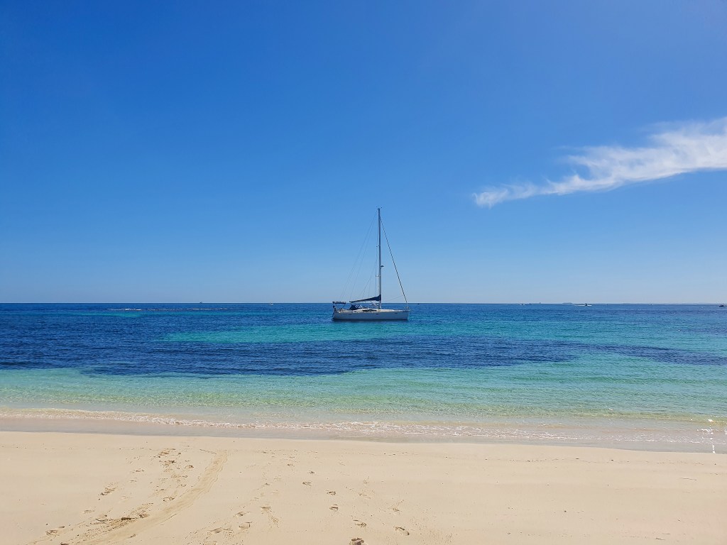
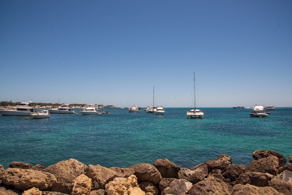
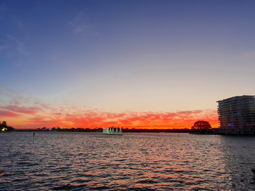
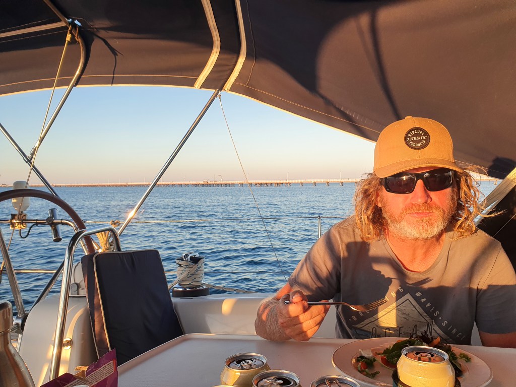
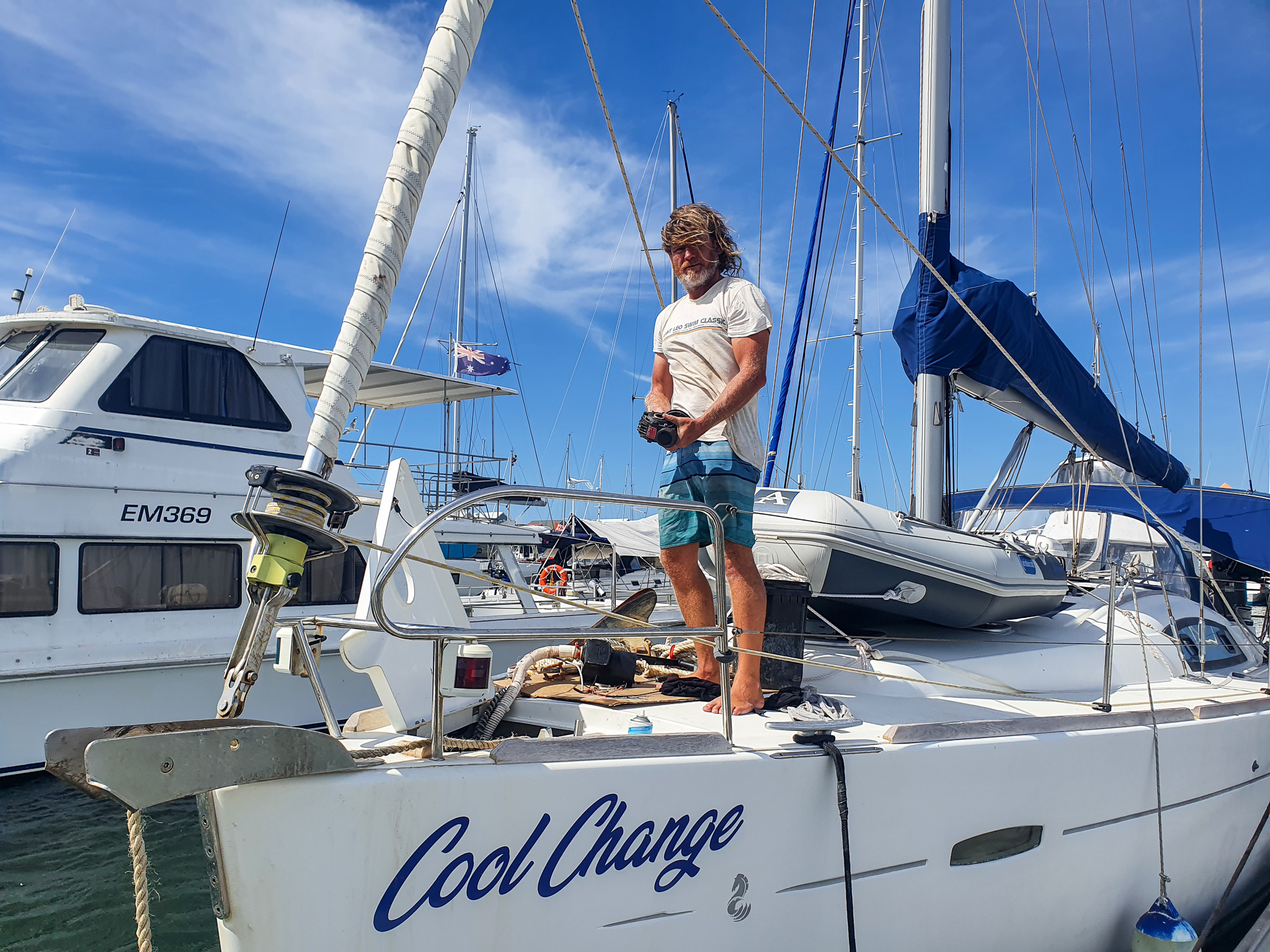
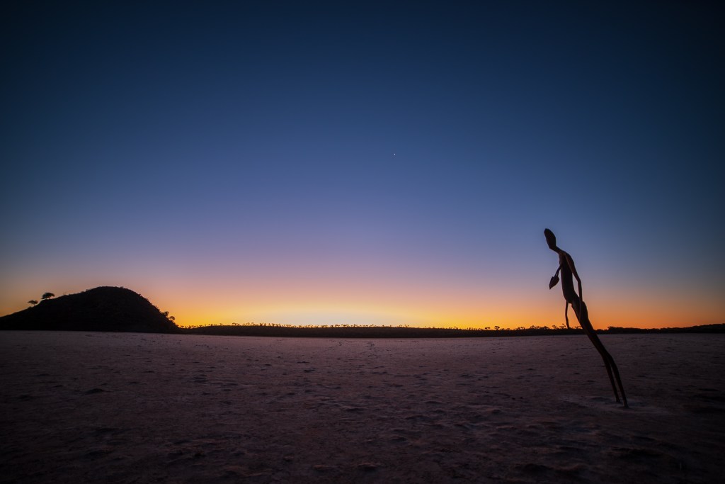
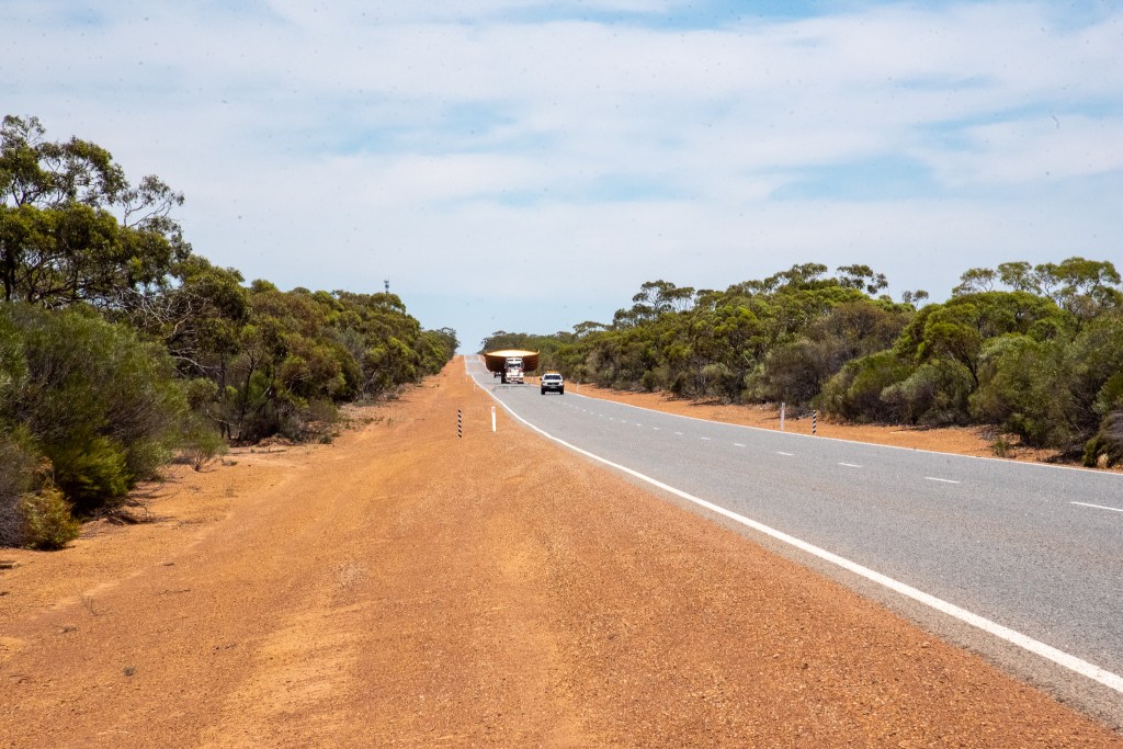
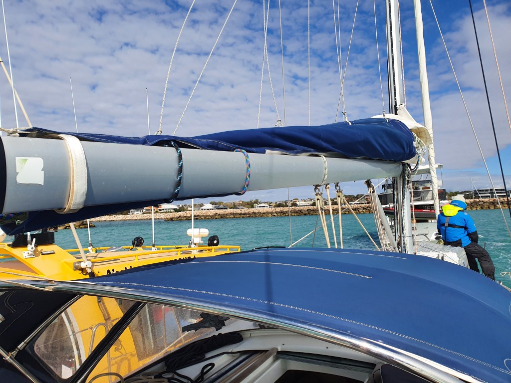
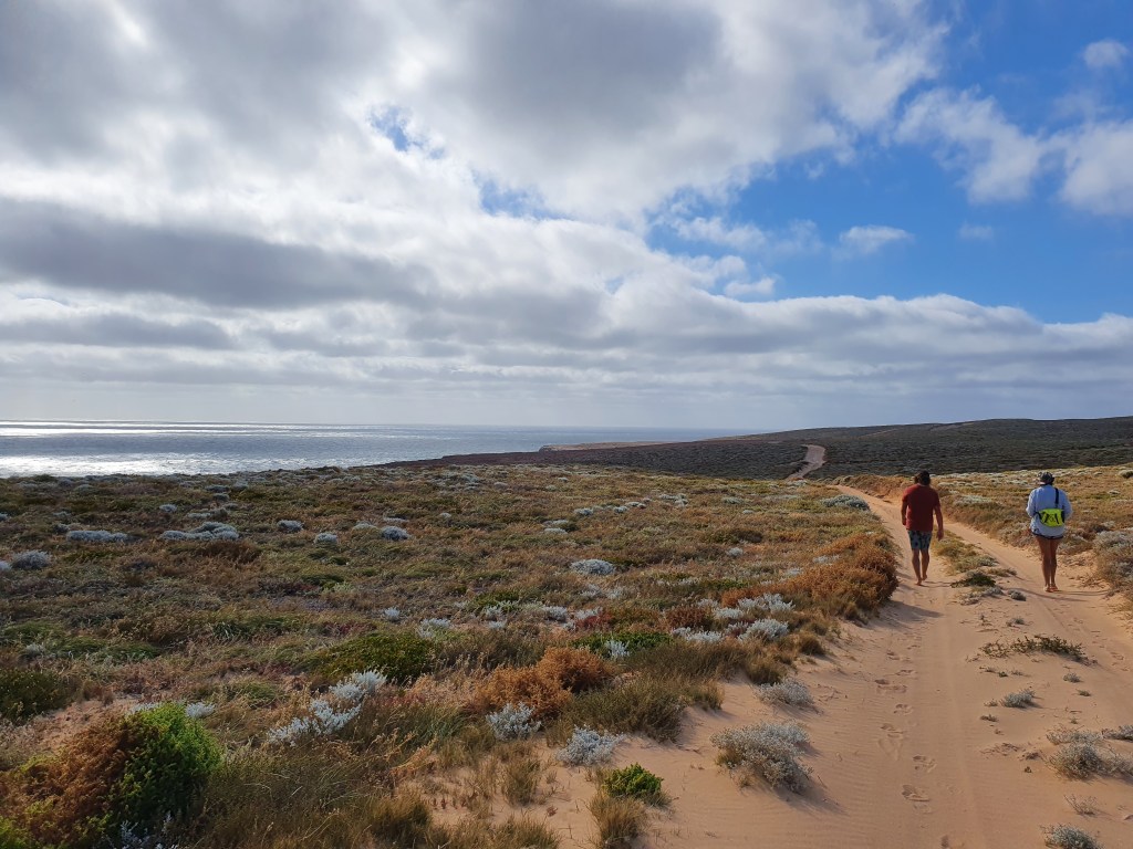
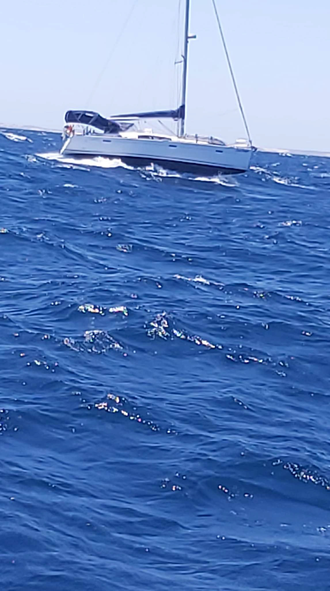
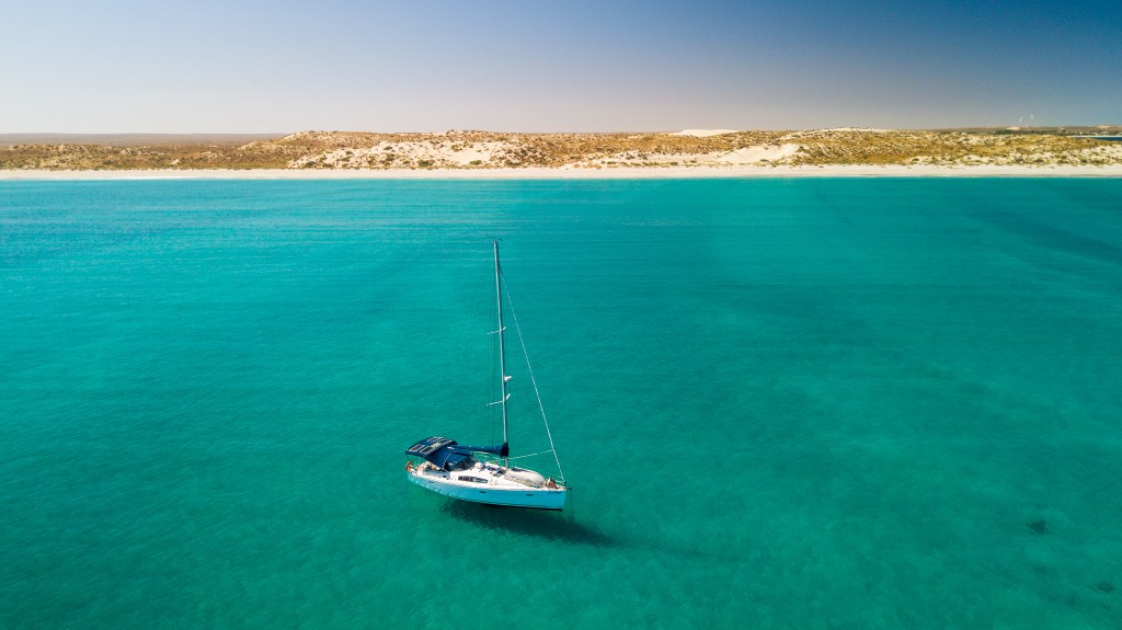
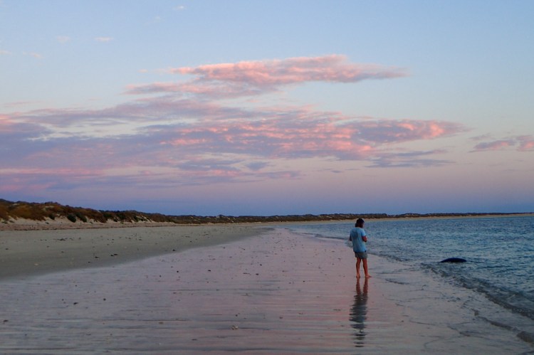
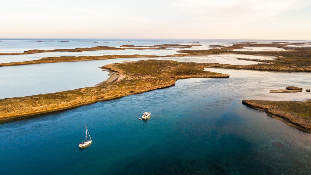
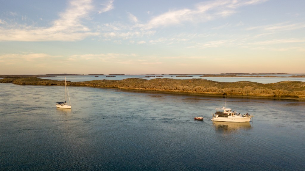
With our anchor windlass working like new, we set off from Port Geographe marina for the second time. We waved goodbye to Steve, shouting out that hopefully we won’t be back!!! We had a nice sail across Geographe Bay until the winds reached 25 to 30 knots just as we were approaching Eagle Bay. Grabbing a mooring in 30 knots isn’t easy but we managed. We’re pretty practised at that manoeuvre by now. The winds eventually calmed as I prepared an early dinner and we headed to bed for a few hours sleep with our alarm set for 10 pm.

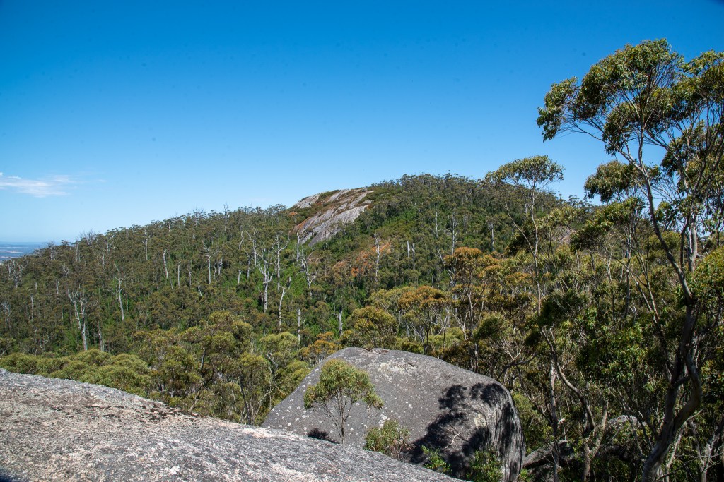
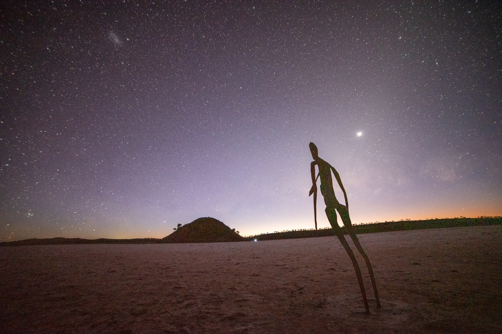
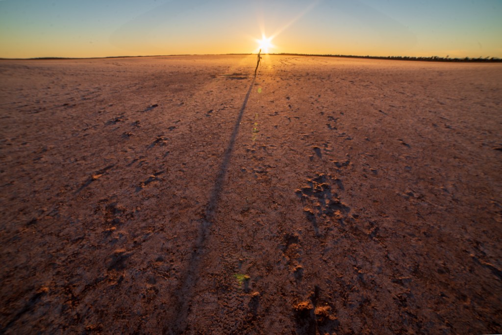
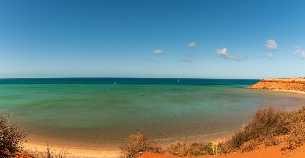
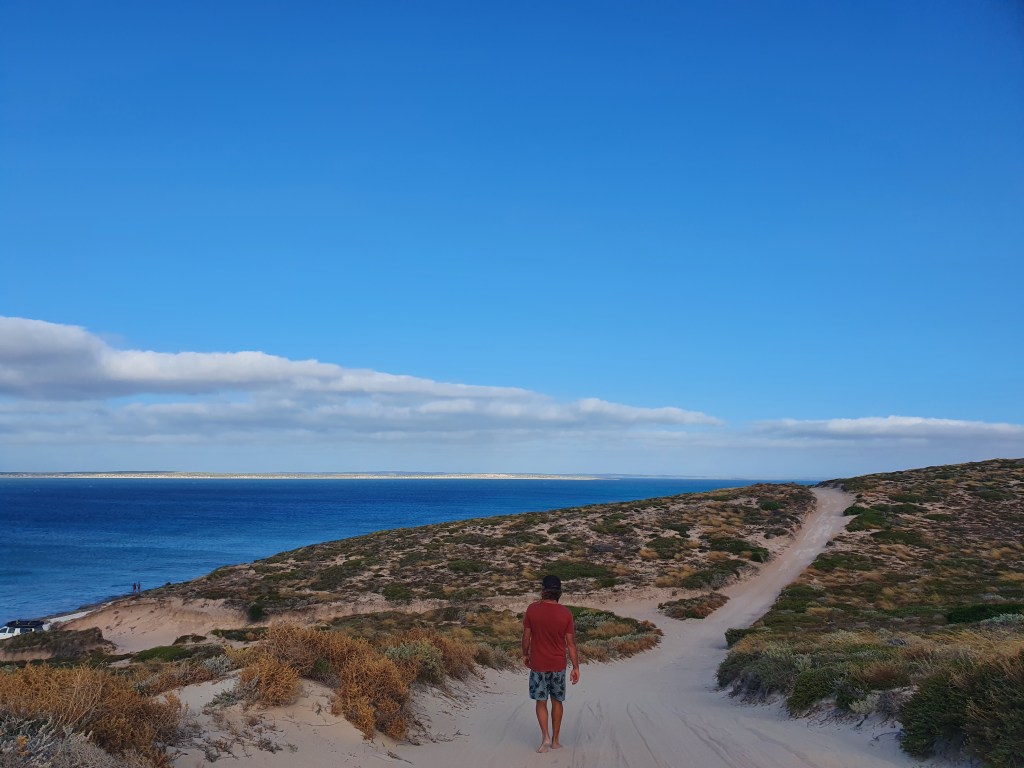
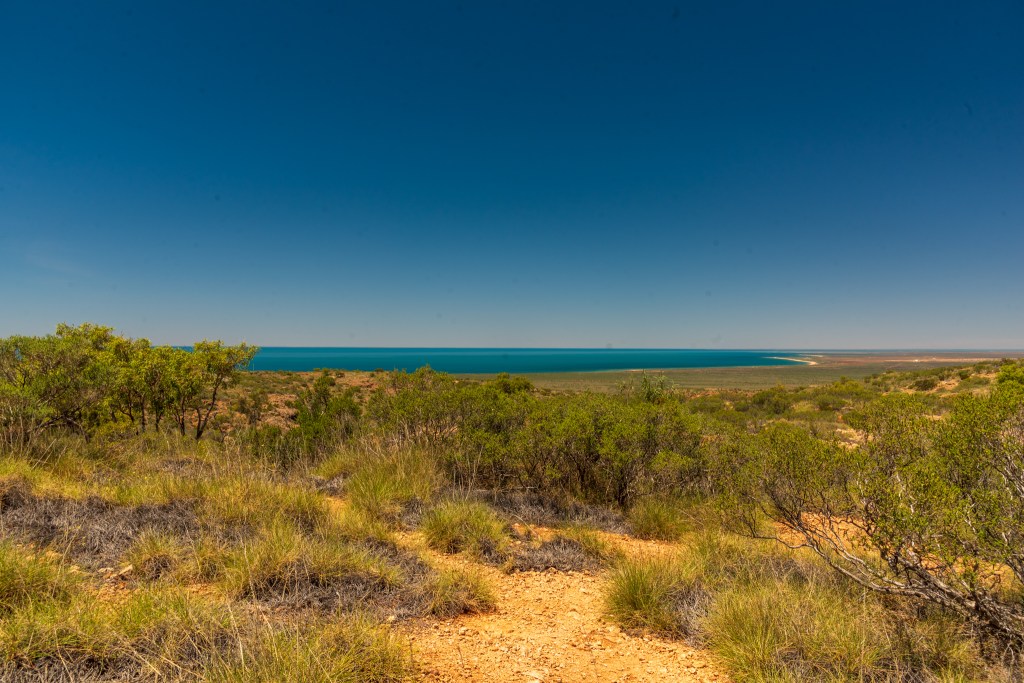
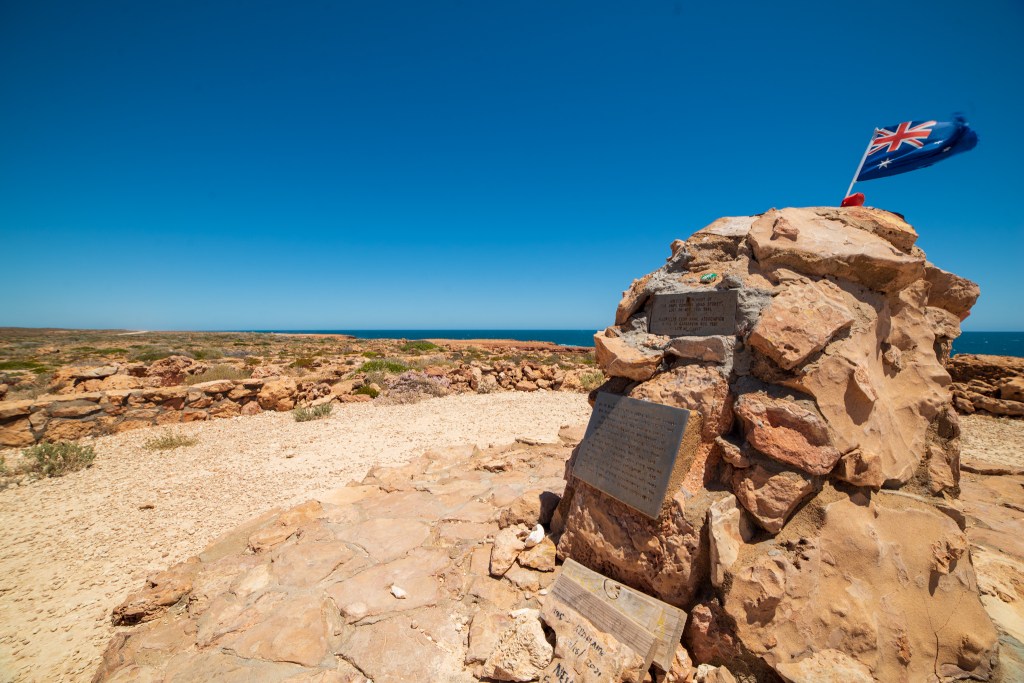
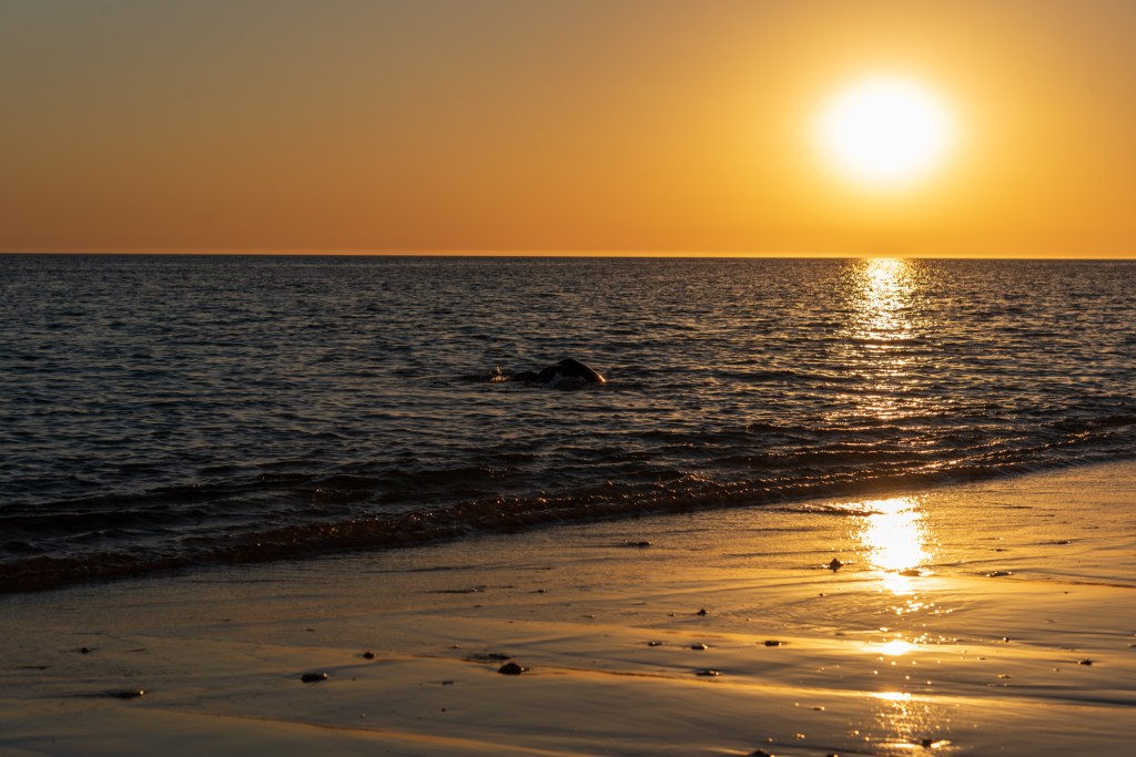
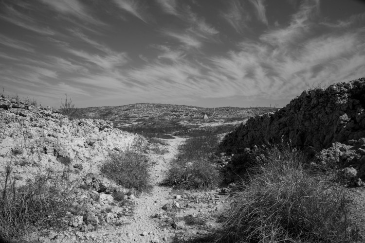
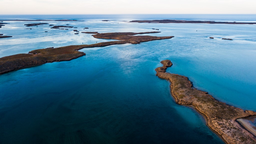
There were calm seas in the bay when we motored off the mooring and out towards Cape Naturaliste. As we approached the cape, the swell began to develop and I headed to bed while Matt settled in for the night shift. We were pushing south into a ten to fifteen knot southerly but the boat motion was ok. The main was up with two reefs in it and we motored. I was up on watch from 6 am to 11 am and it was foggy and grey as we rounded Cape Leeuwin, in the south west corner of Australia, in the mid morning.

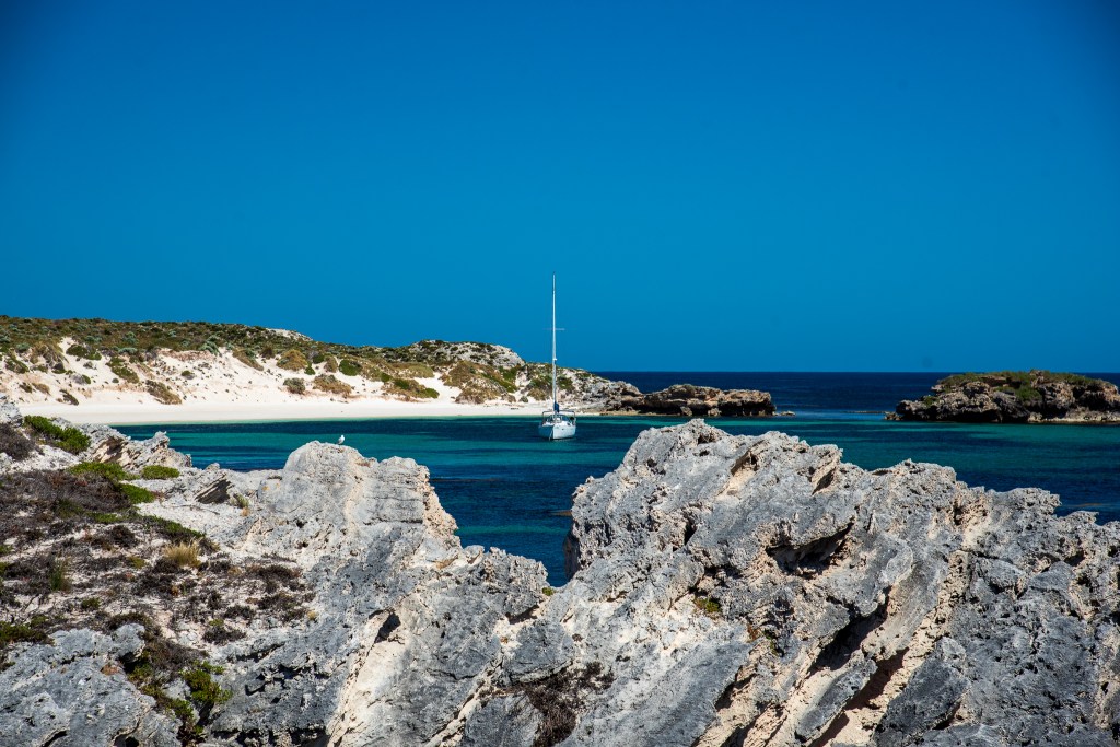
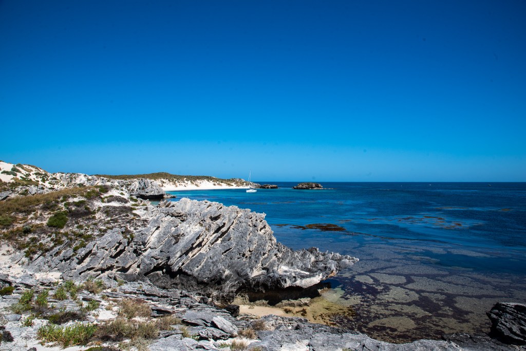
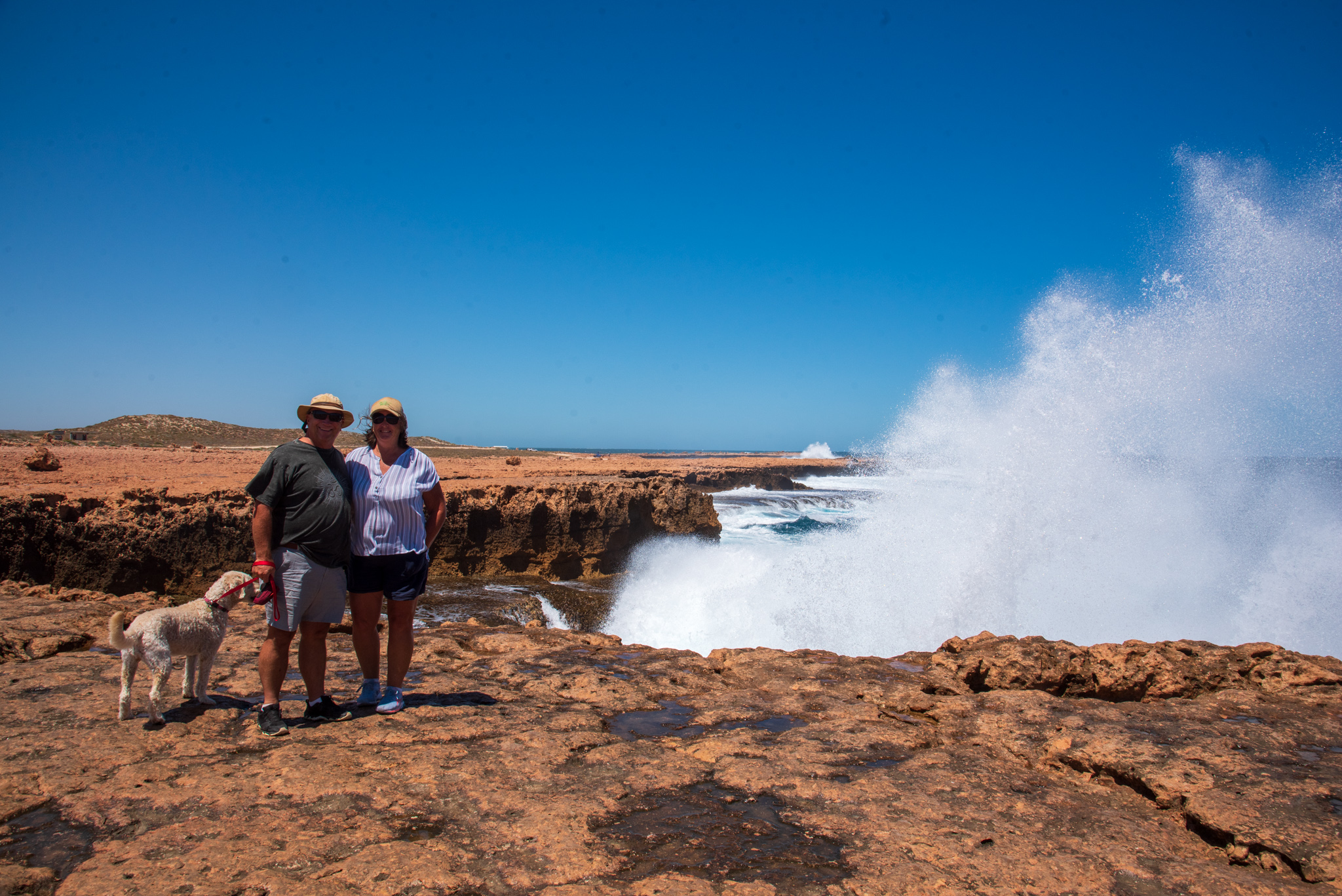
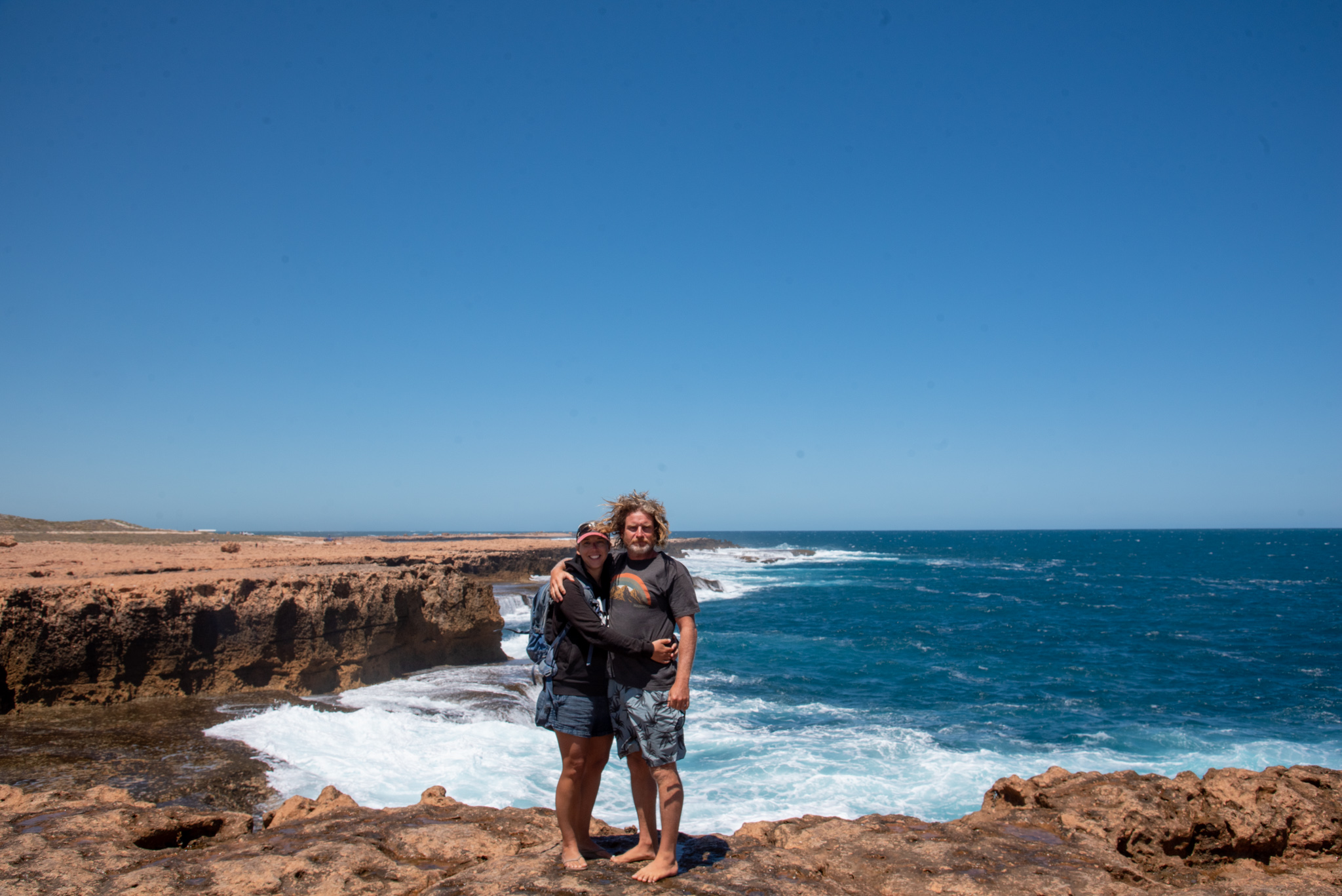
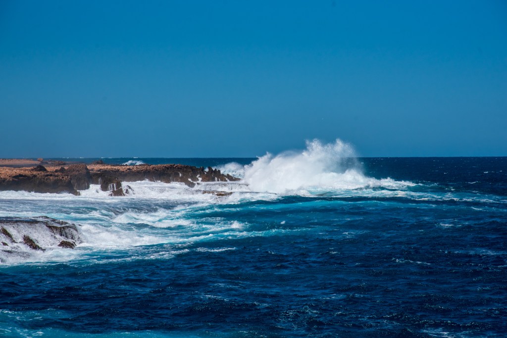
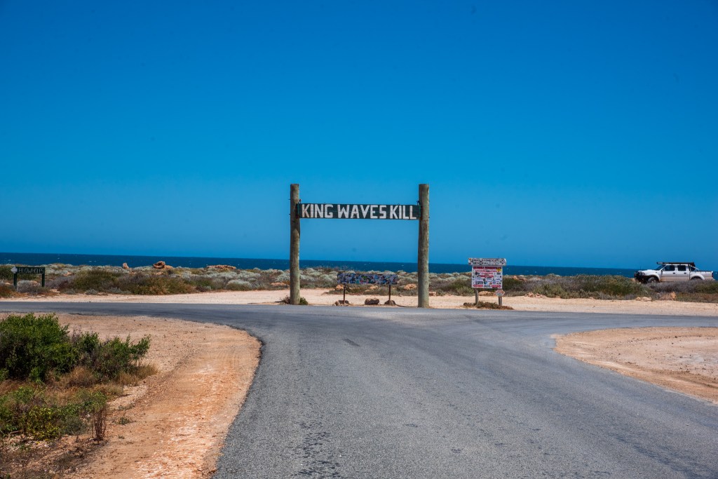
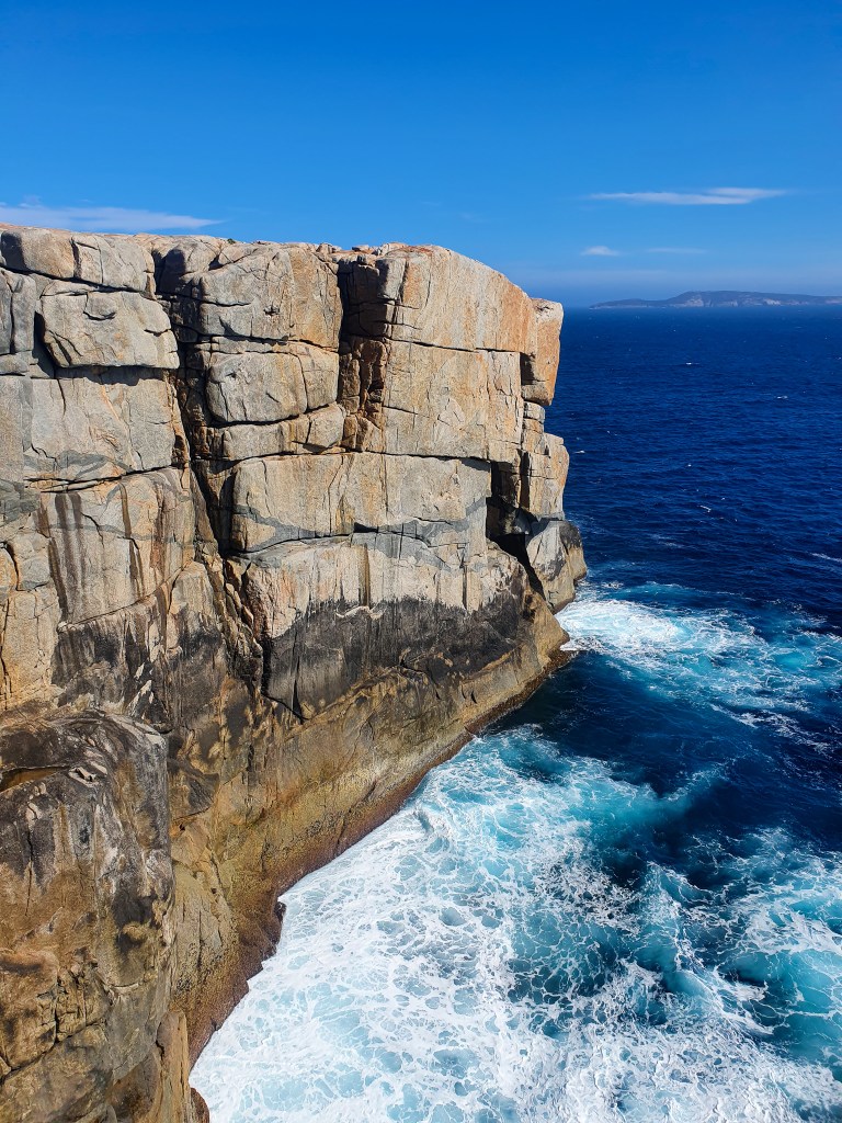
Cape Leeuwin is one of the three great capes of the world and is where the waters of the Indian and Southern oceans collide. Sailing well wide of the extensive reefs, the overcast skies and low fog meant that we couldn’t see a thing. So it was a bit anti-climactic for us. ‘Just how we like it,’ said Matt.

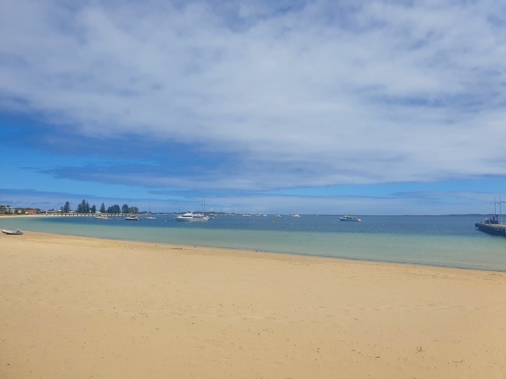
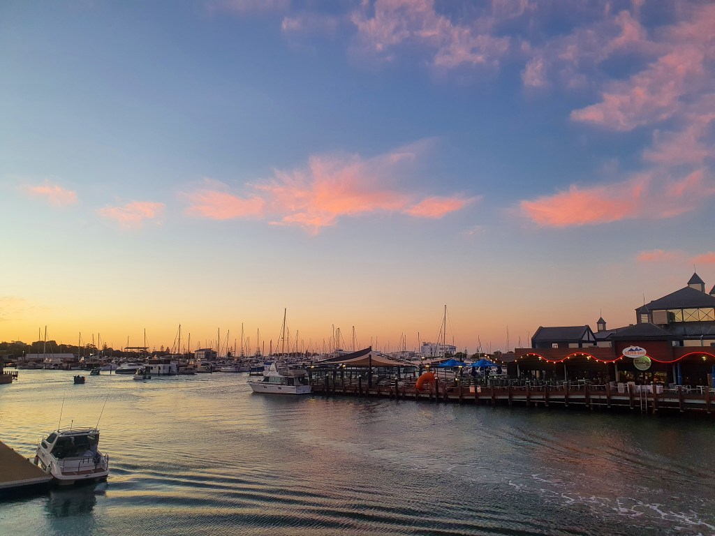
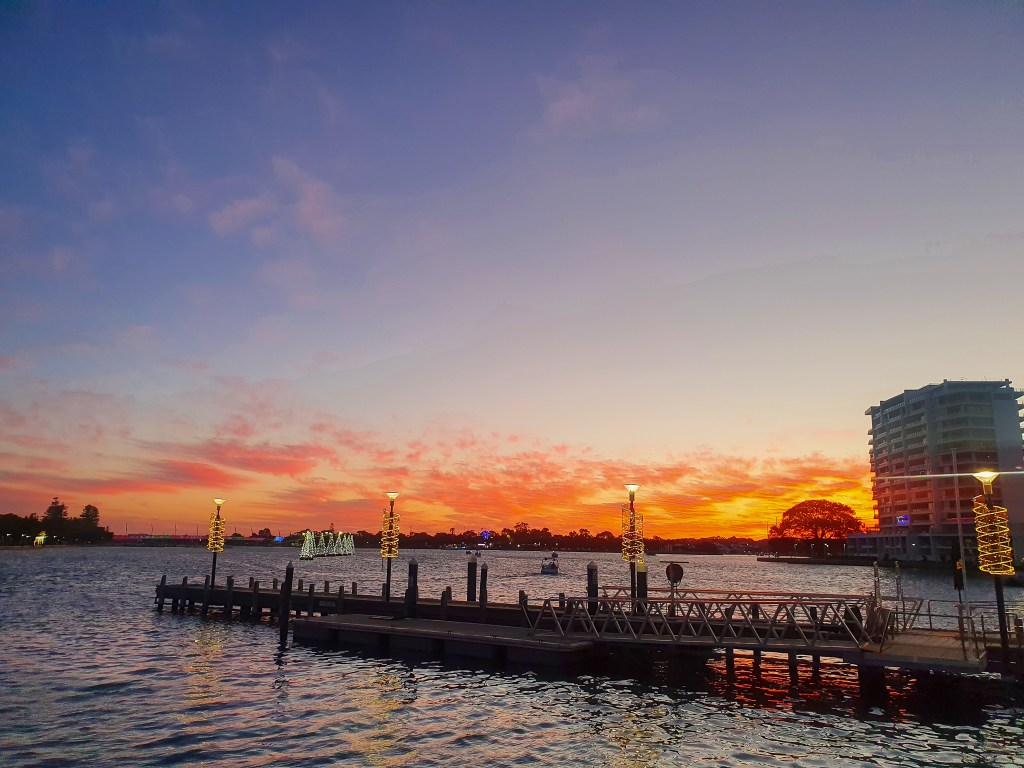
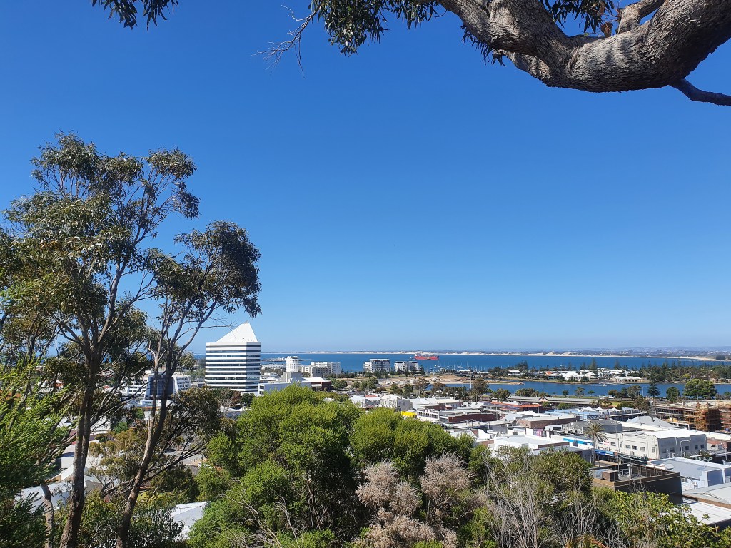
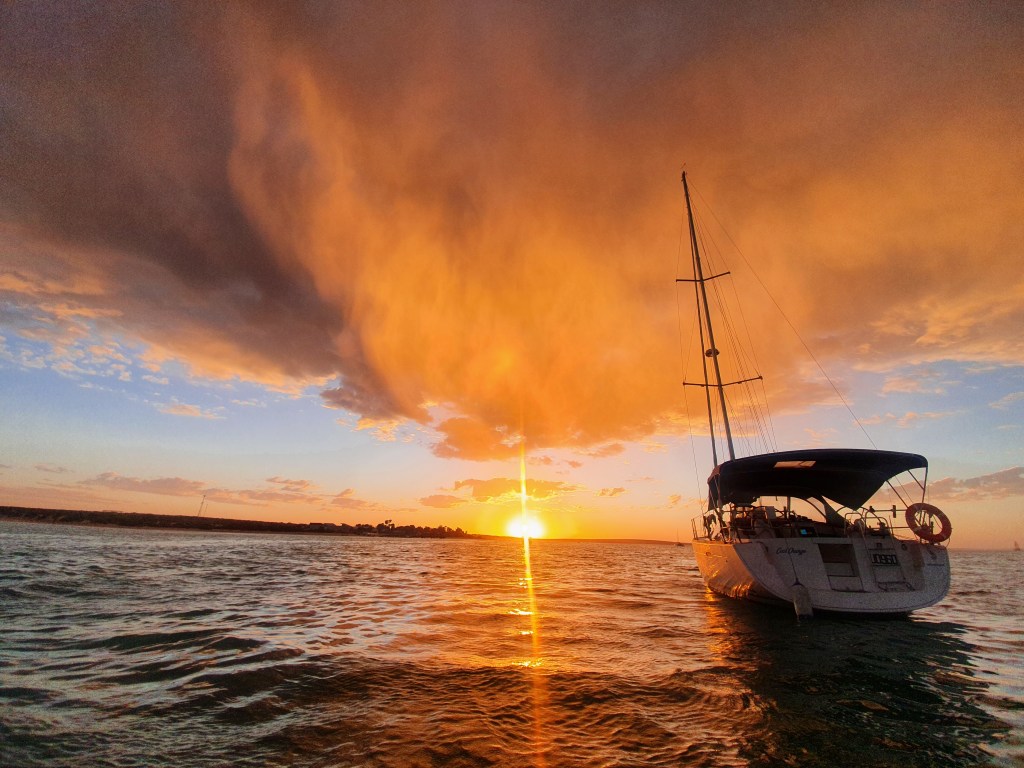
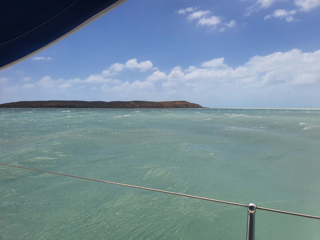
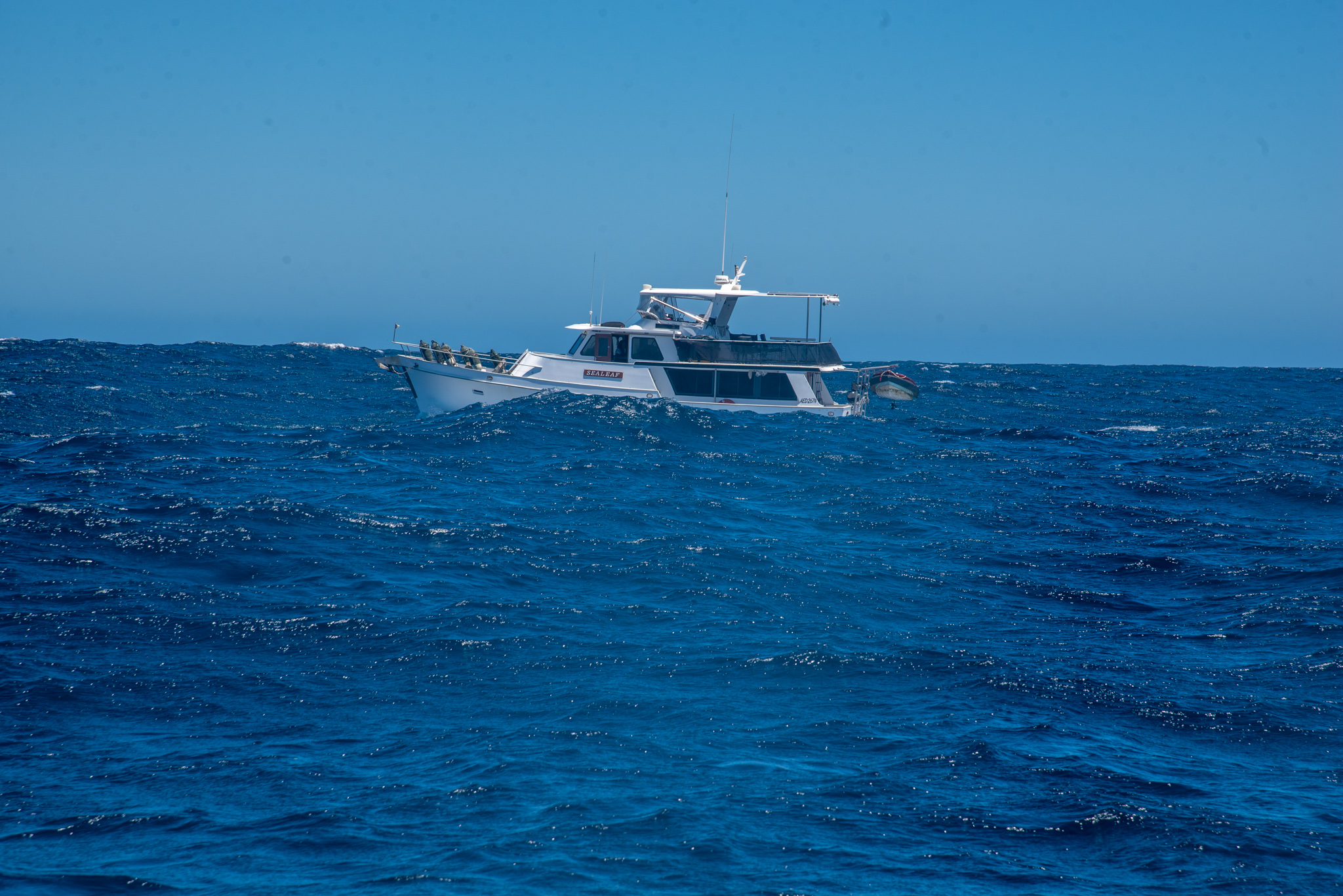
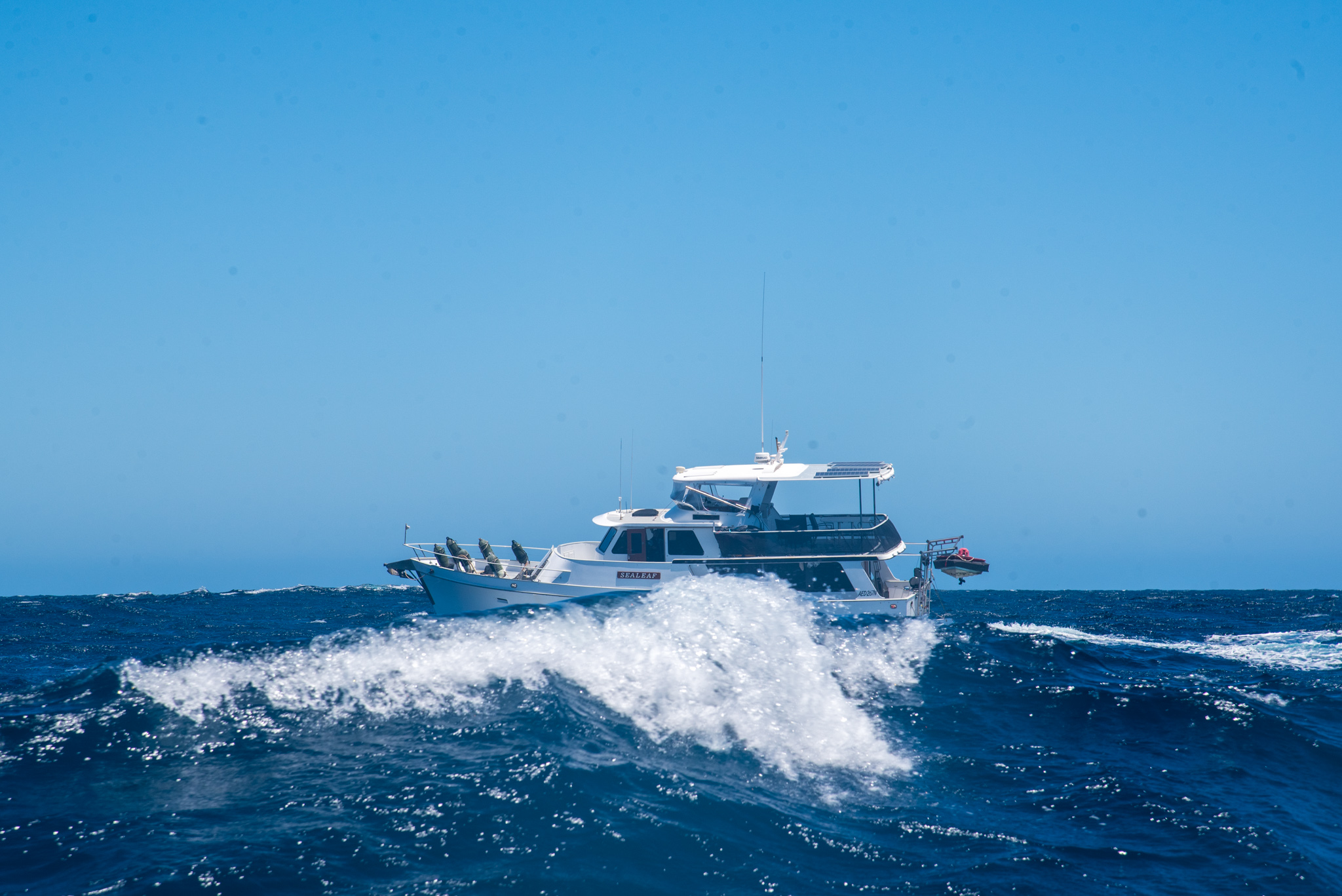
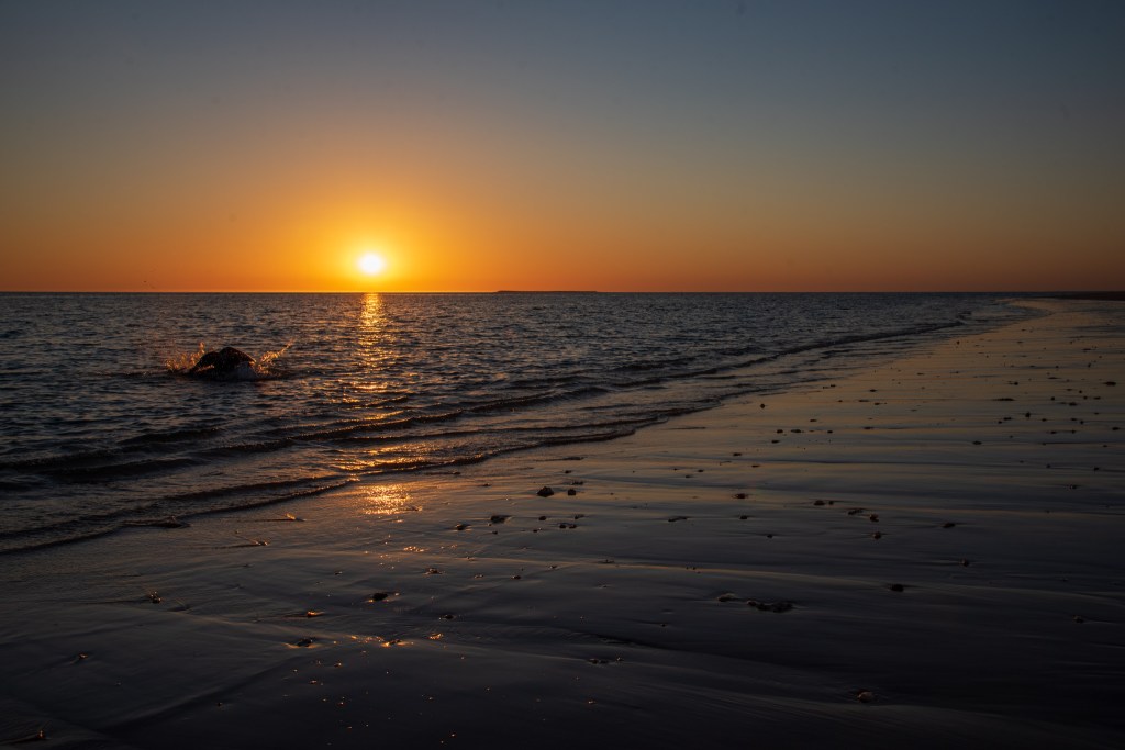
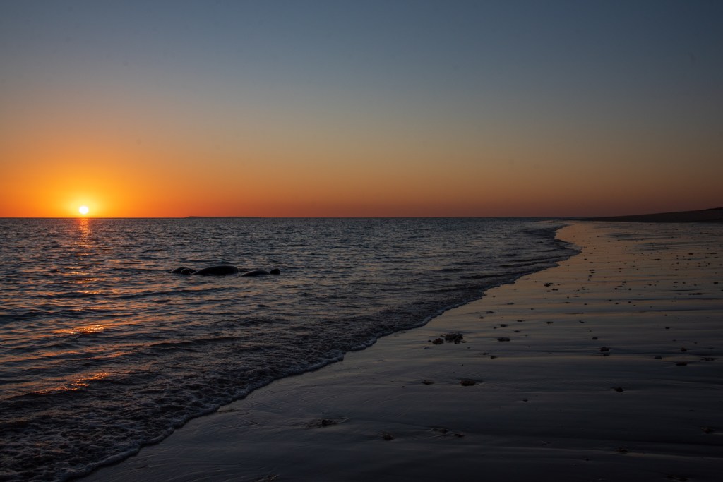
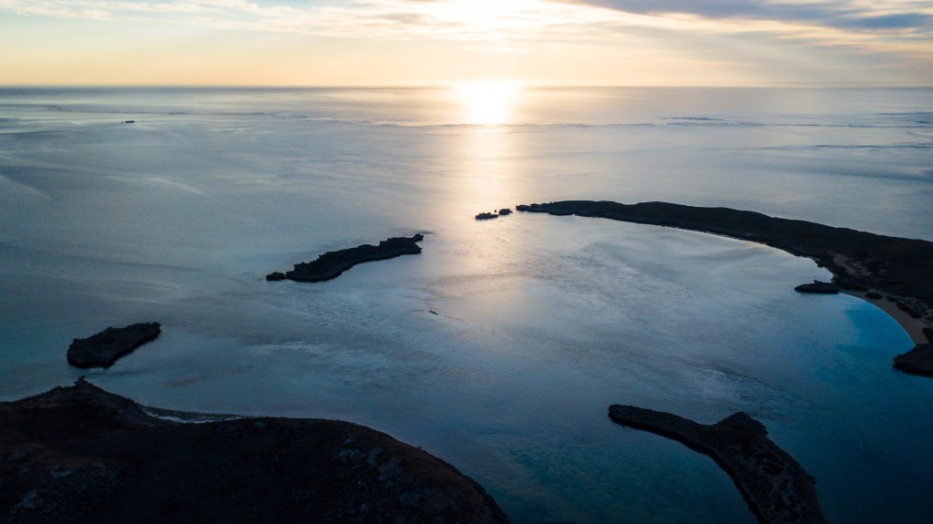
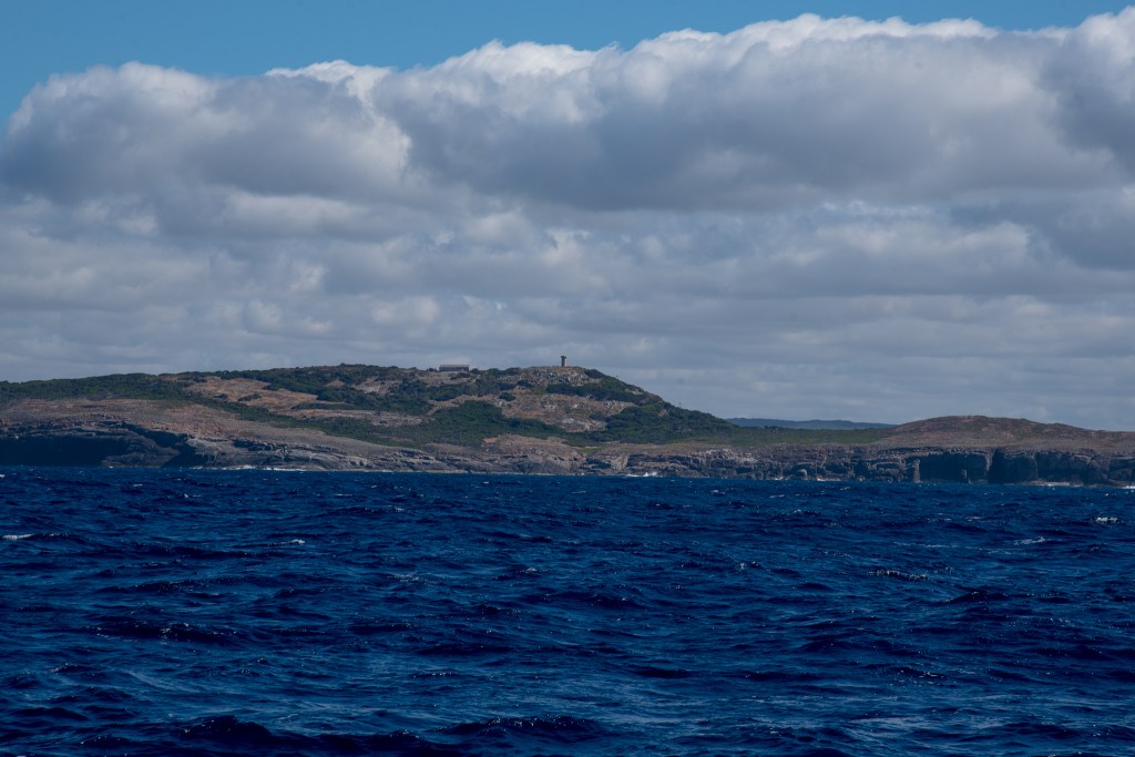
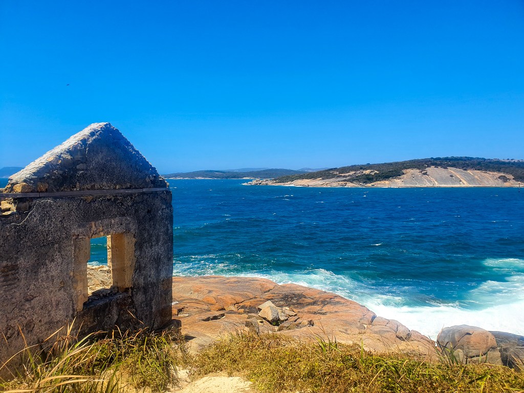
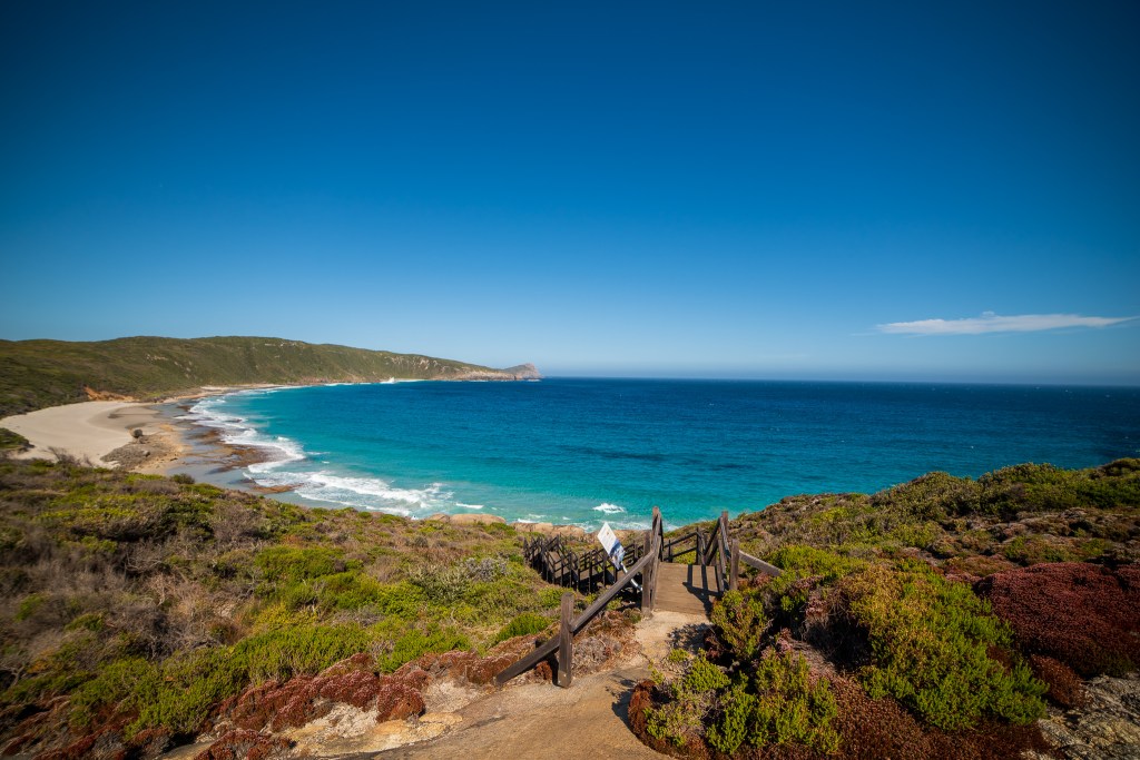
We continued swapping watches throughout the day, had dinner together and then Matt was on watch from 7 pm to 12 am and I was up from 12 am to 4.30 am. The conditions calmed even further overnight, and we had following seas with light winds, making for fairly comfortable conditions. We were both up for the final few hours as we neared Albany and the wind began to strengthen. The huge King George Sound that welcomes you to Albany makes for quite a dramatic and scenic entrance.

Lighthouse on Eclipse Island, just outside King George Sound

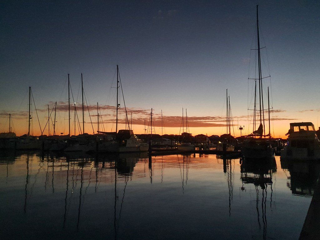
We entered the little marina and located our pen, however the wind had picked up so much that it made docking incredibly hard. If we went into our allocated pen, then we would be blown onto the big boat next to us. Instead, we entered the adjacent empty pen and were blown onto the dock. Much safer and easier. There were plenty of empty pens so we figured it wouldn’t be too much of an issue.

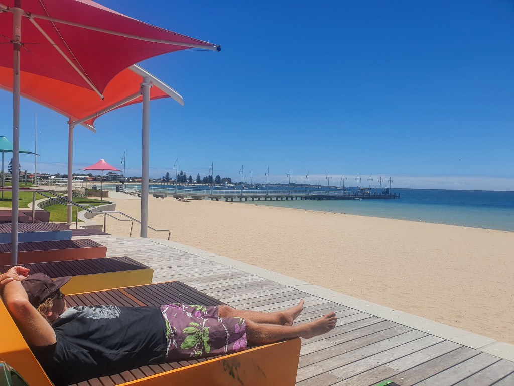
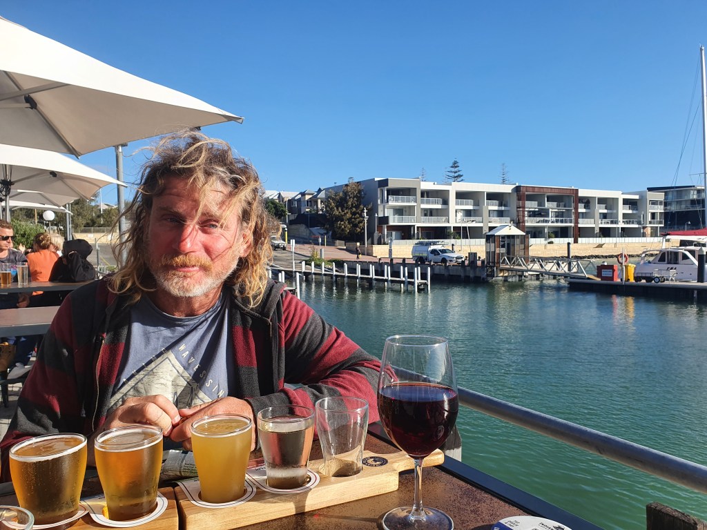
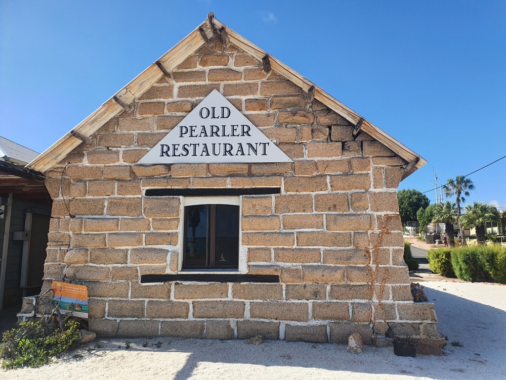
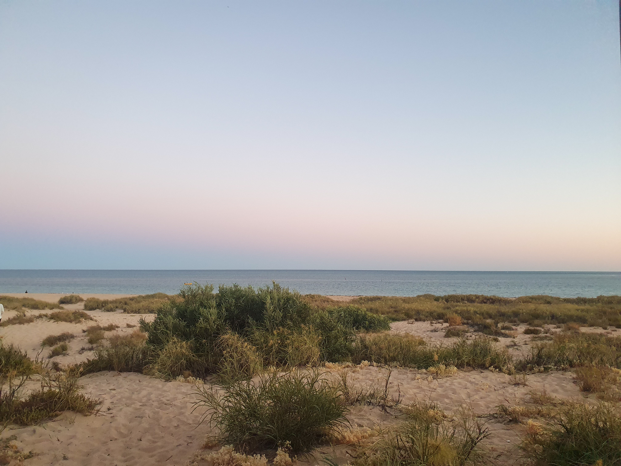
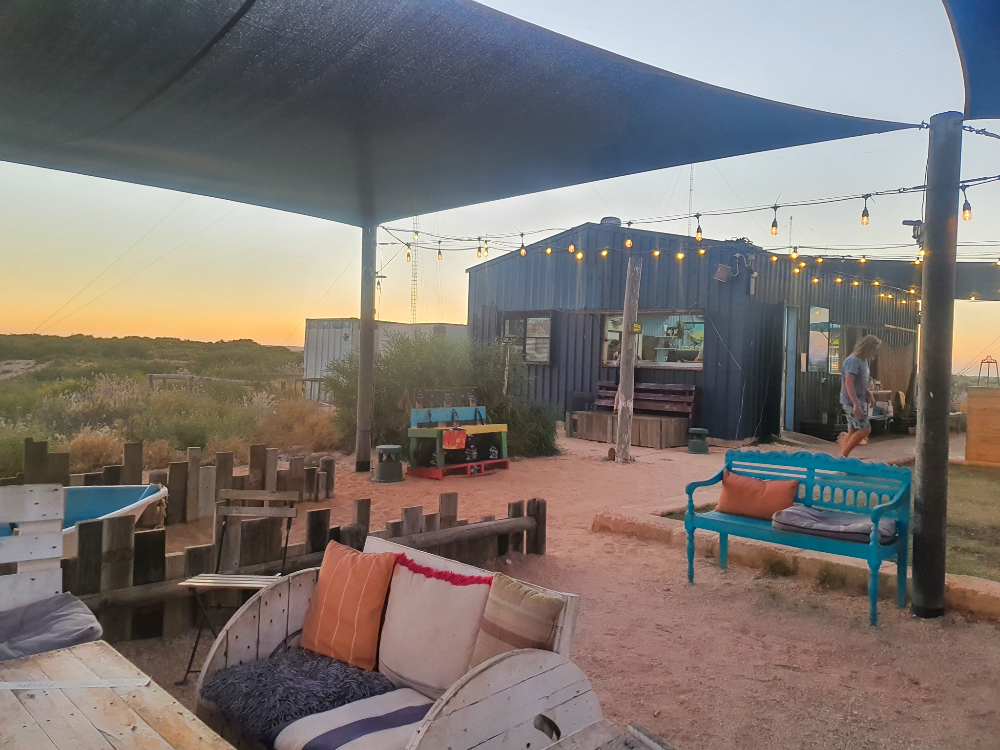
After a shower we were refreshed and wandered through the town. Albany is a small but interesting town with lots of historic buildings and has a really quaint feel to it. We ended up at the historic The Earl of Spencer Inn, where we had a few drinks and an early dinner, before retiring to the boat for an early night. It had been a surprisingly good passage, and we were very pleased with ourselves. Once we turned the corner, and were heading east, it had been considerably more comfortable than any of our passages down the west coast. Maybe sailing the south coast won’t be so bad, we mused. It was a comforting thought that perhaps we already had the worst behind us.

Albany
Historic building, Albany

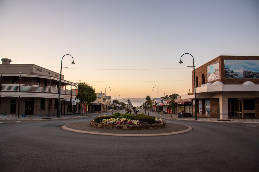
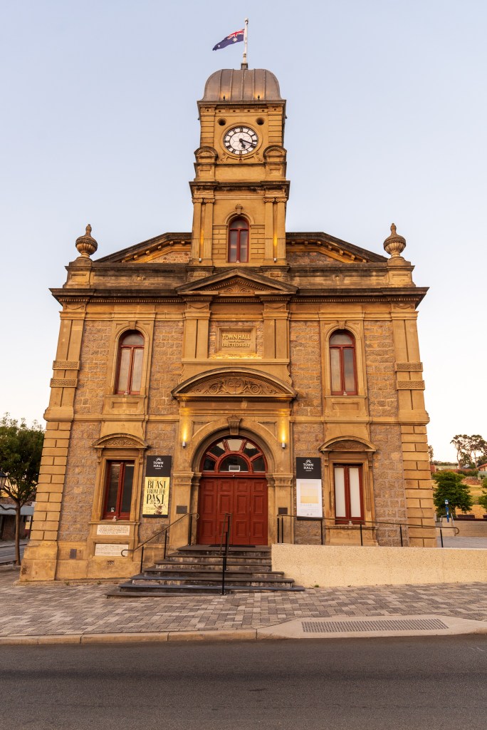
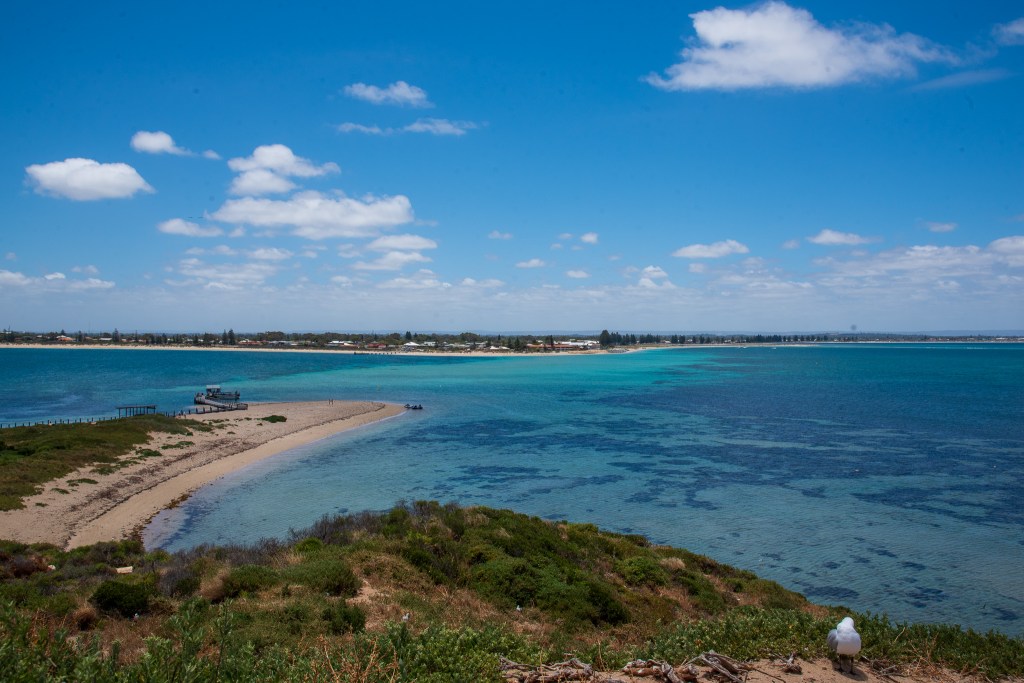
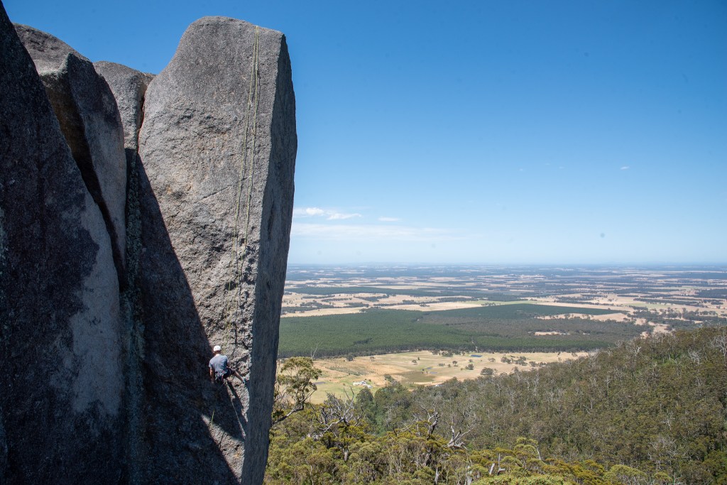
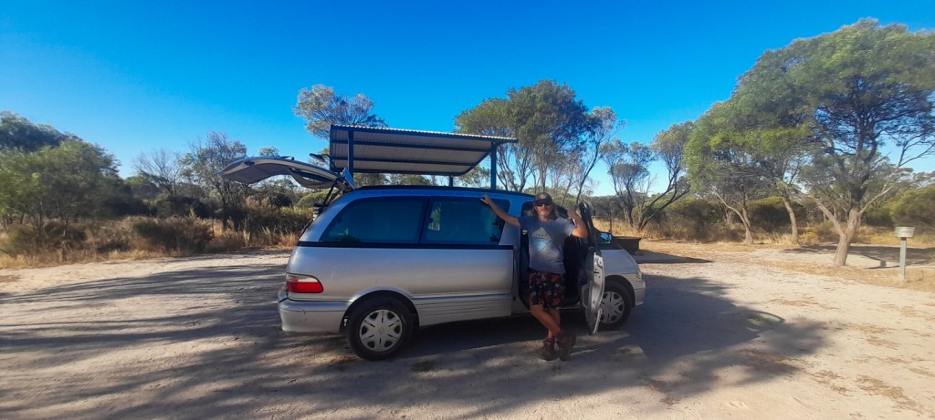
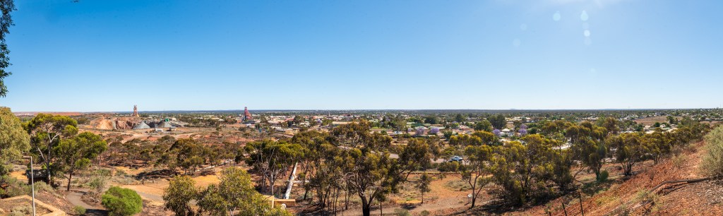
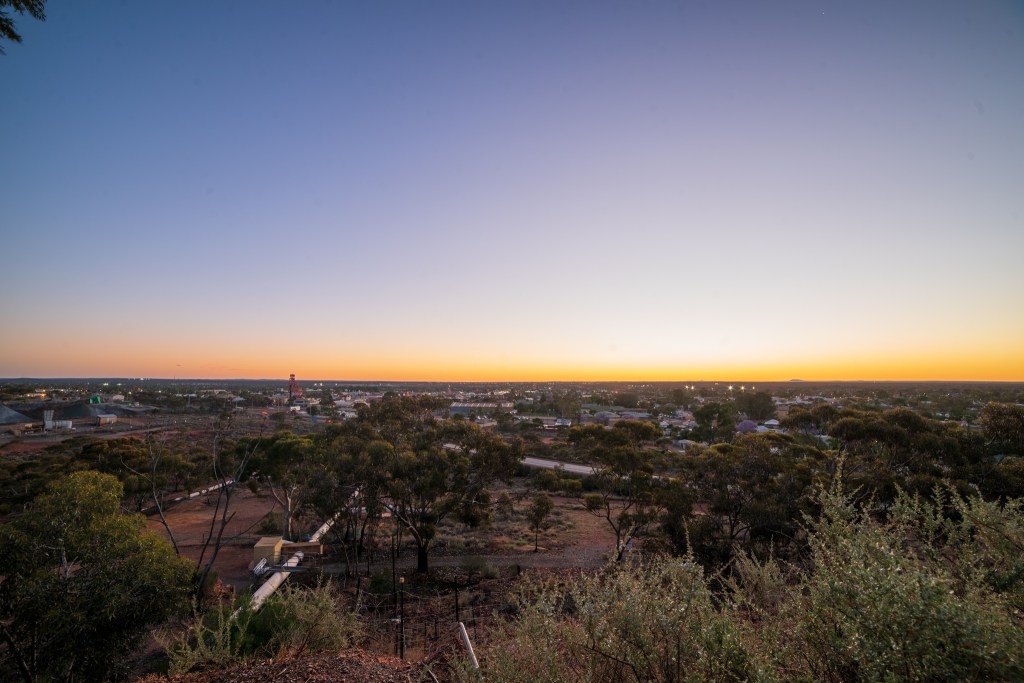
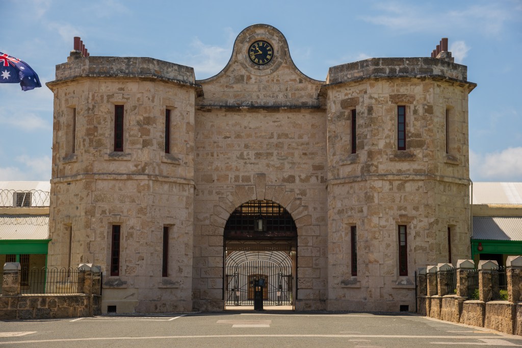
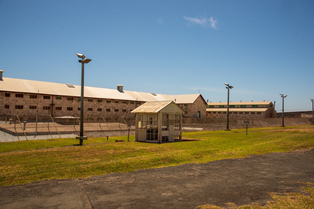
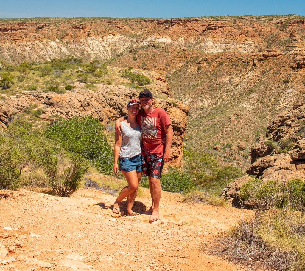
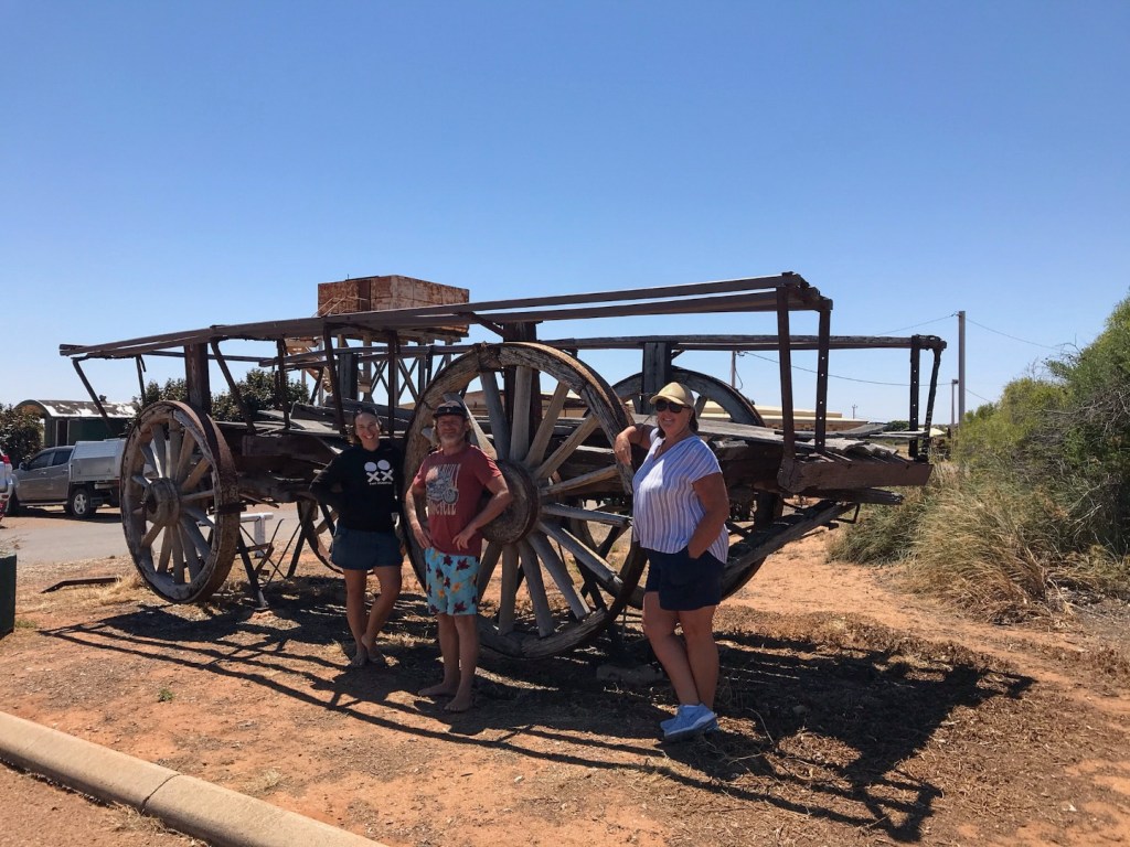
We spent eleven nights in the Albany Waterfront Marina, a perfect location to explore the town from. Albany has a lot of historically significant sights and we managed to cram in a lot of sight seeing. Matt built our bikes and we pedalled up and down the steep hills of Albany.

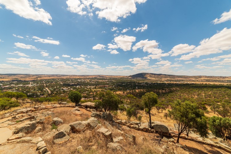
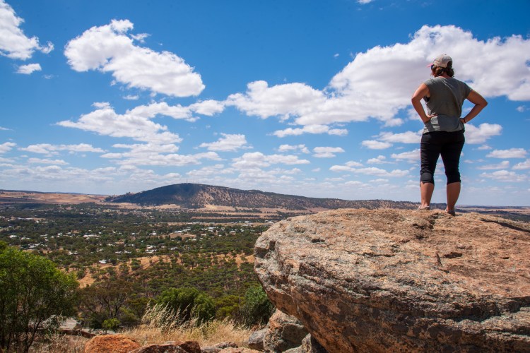
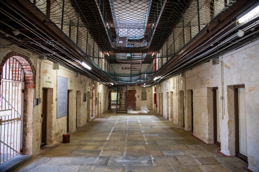
The Albany Heritage Park covers 260 hectares, and includes Mt Clarence which has the Desert Mounted Corps Memorial at its summit along with the Padre White Lookout, and Mt Stirling, with the Princess Royal Fortress and National Anzac Centre. We pedalled up here on two separate days, as there was so much to see. I never knew that Albany was such a significant location in our military history.

On 1st November 1914, 30,000 young Australians and New Zealanders departed from King George Sound on board a flotilla of 38 ships bound for Egypt and the battlefields of World War I. Albany was the last place in Australia that these brave young soldiers saw. The ANZAC legend didn’t exist then, but just six months later on 25th April 1915, that legend would be forged by these young men at a place called Gallipoli.

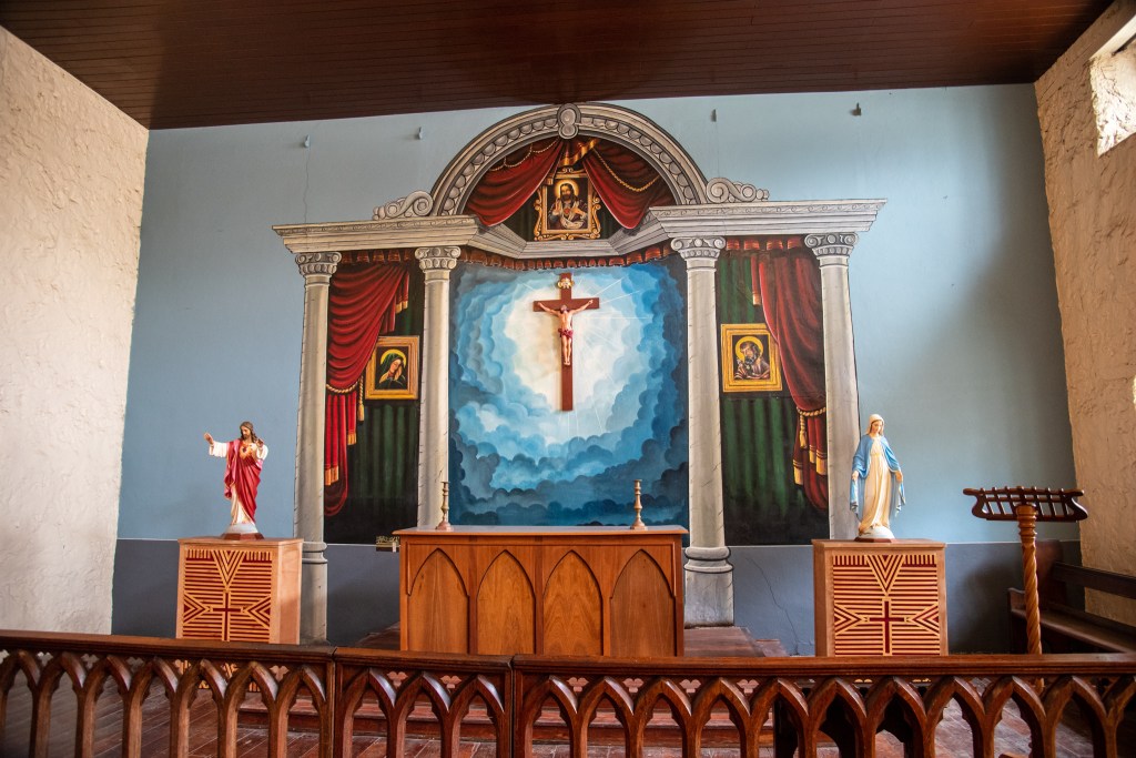
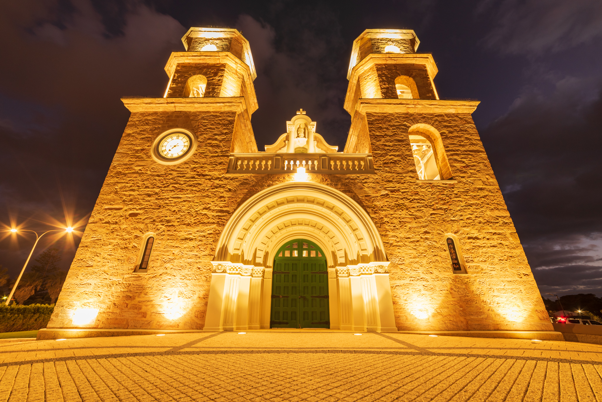
Albany is also the place where the traditions of ANZAC Day, the dawn service and laying of a wreath, are believed to have originated. In 1930, a local priest, Padre White, is said to have introduced a dawn service, which ended with a wreath being laid on the war memorial next to the church. The dawn service has since grown to become Australia’s most renowned and enduring commemorative ceremony.

The National Anzac Centre is packed full of exhibits and information. There was way too many for me to take them all in but it is a very well presented and very moving experience.

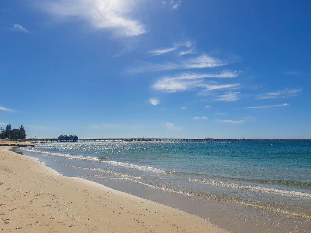
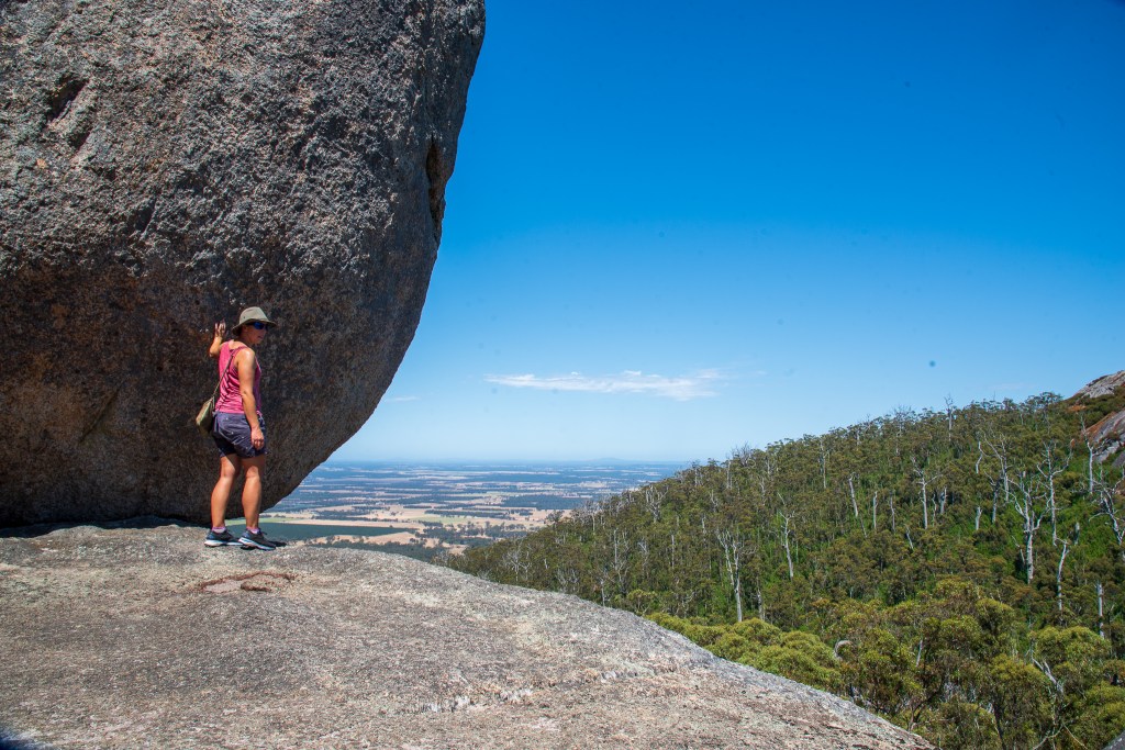
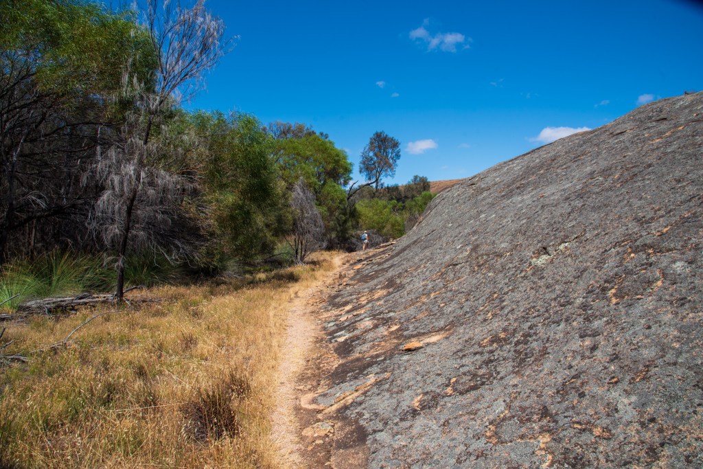
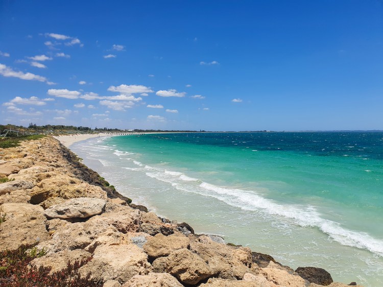
There is a lovely bike track that winds along the coast to the Point King Lighthouse Ruins and on to Middleton Beach. It is very hilly and it was also very windy so it was quite the workout!

Point King Lighthouse Ruins, Albany

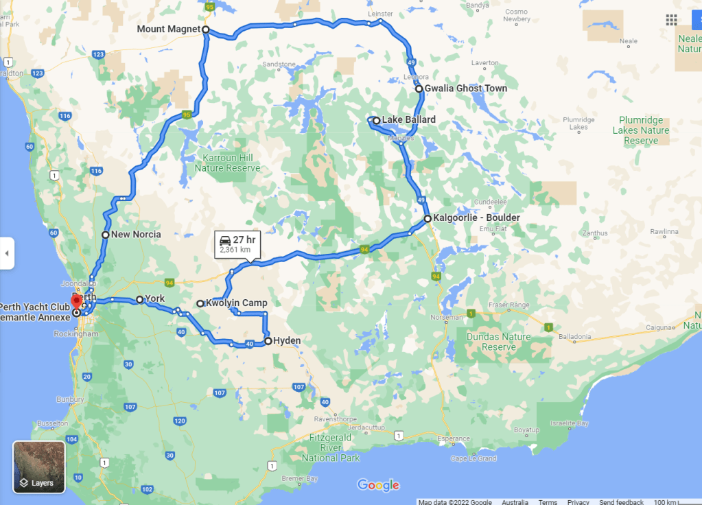
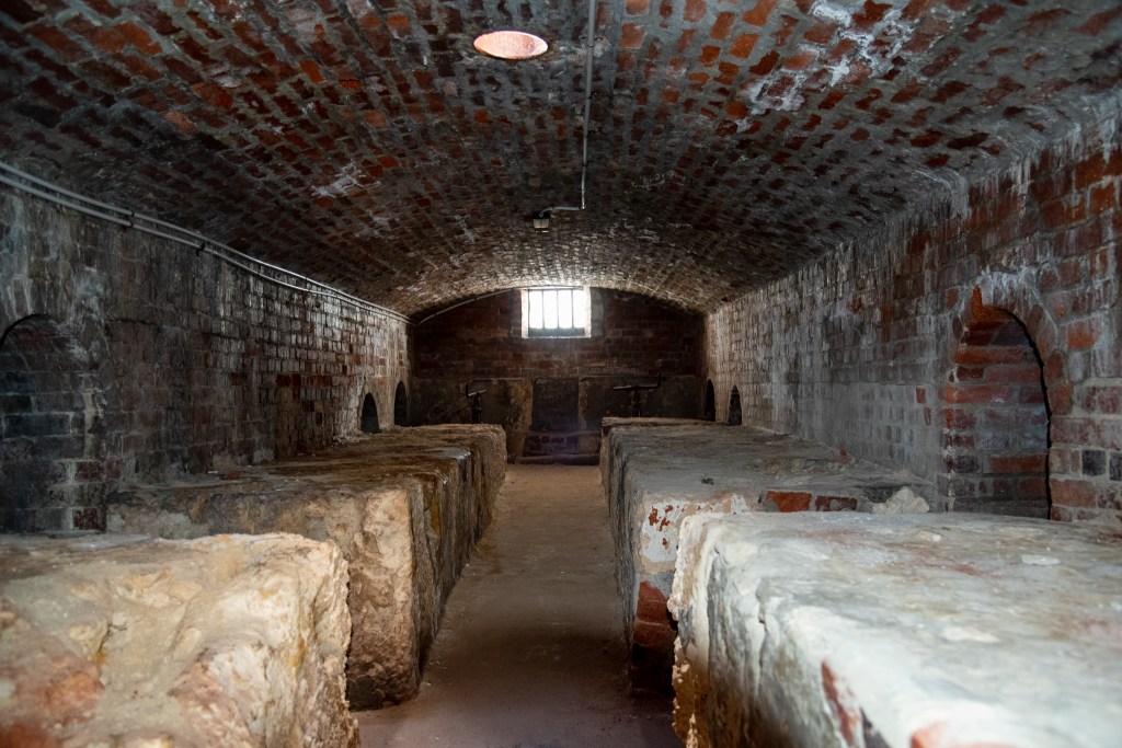
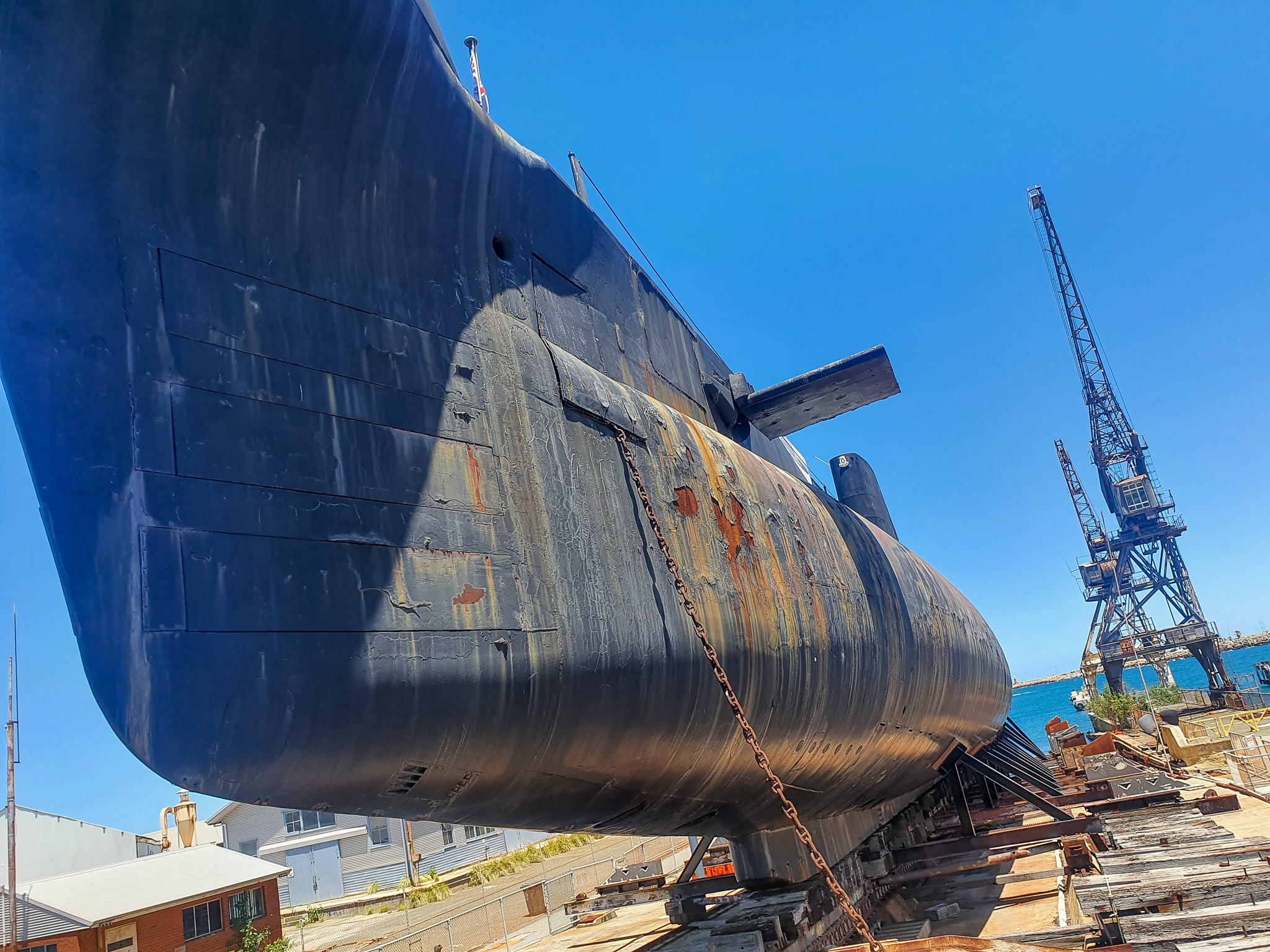
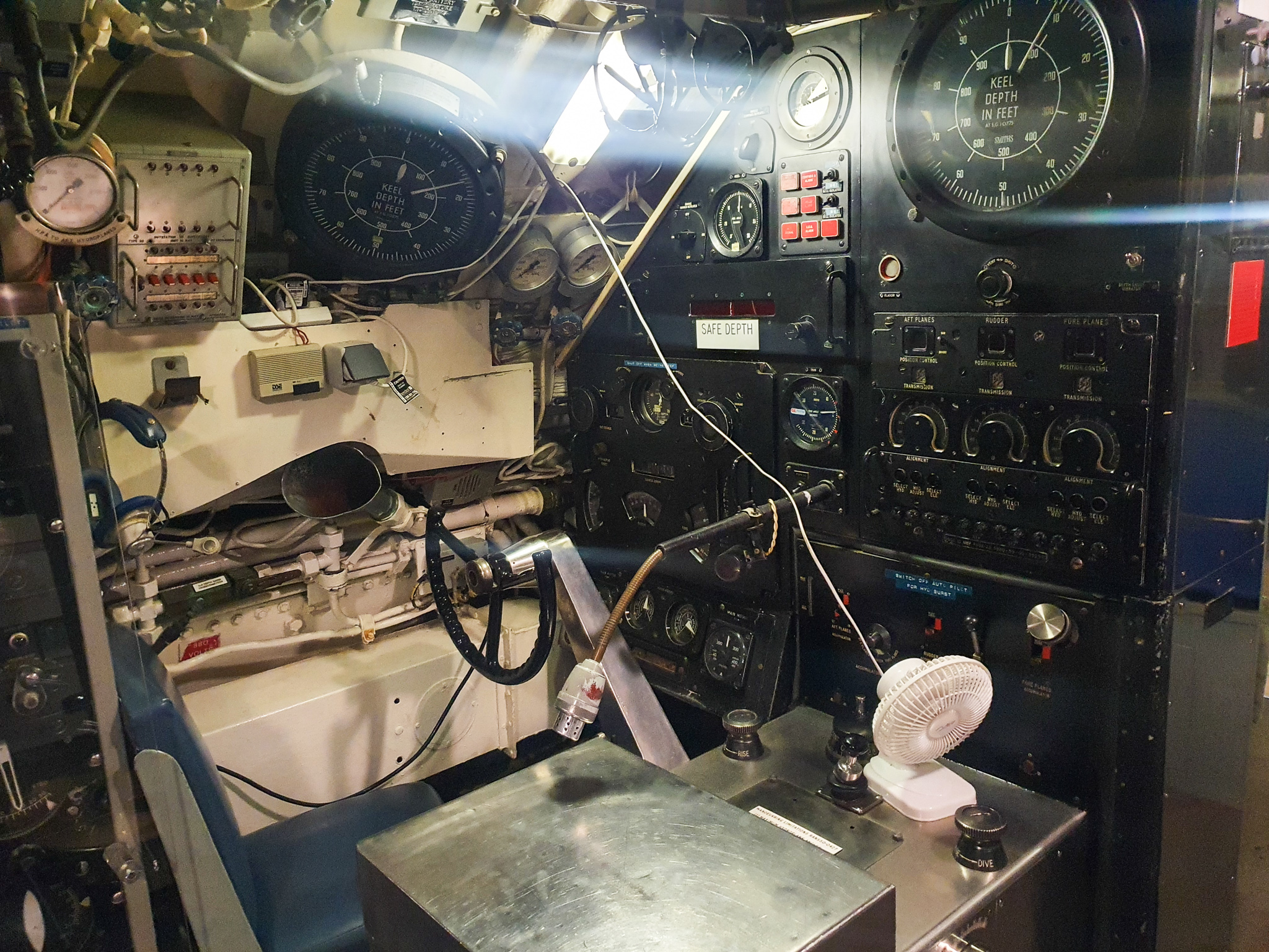
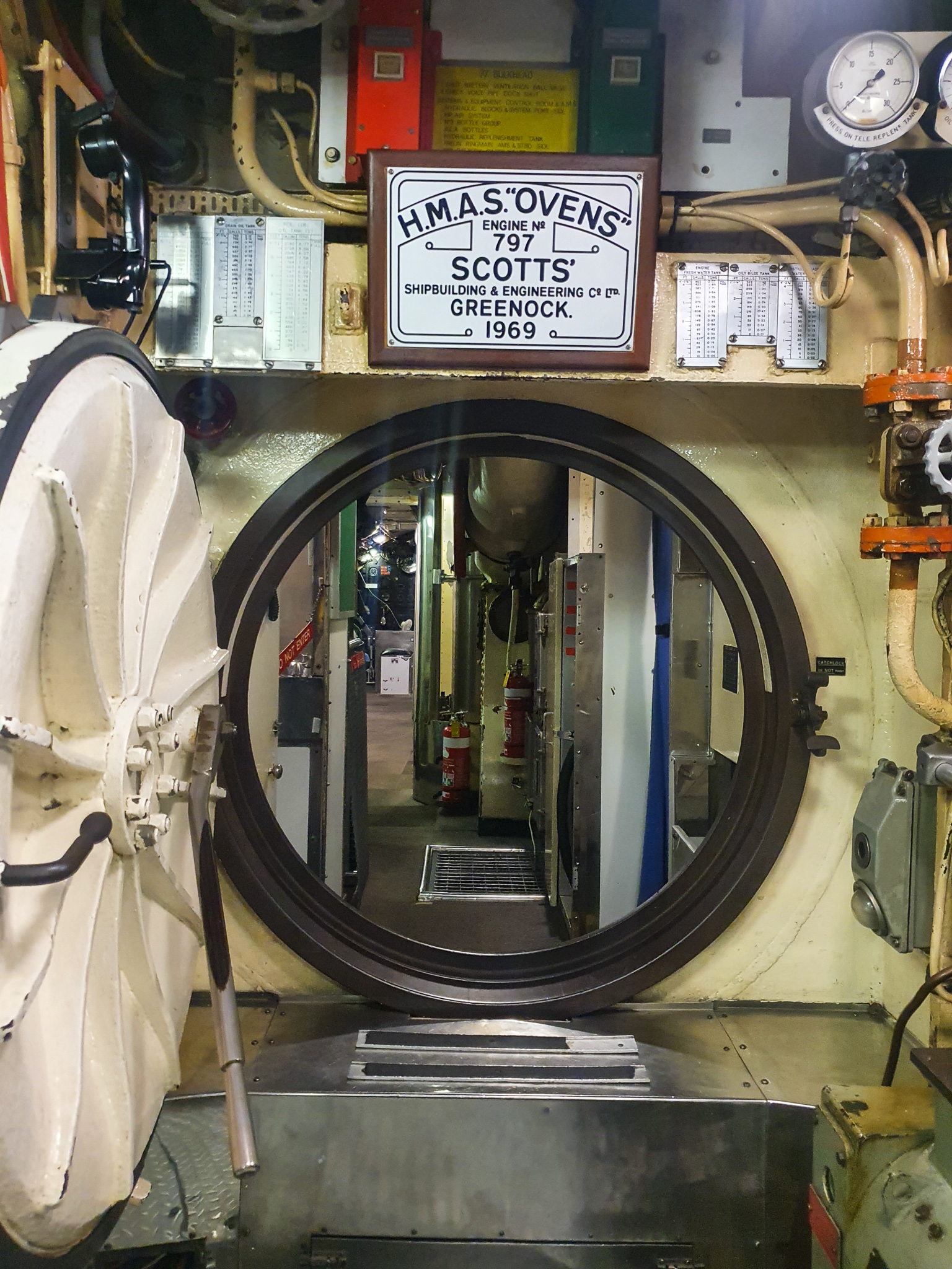
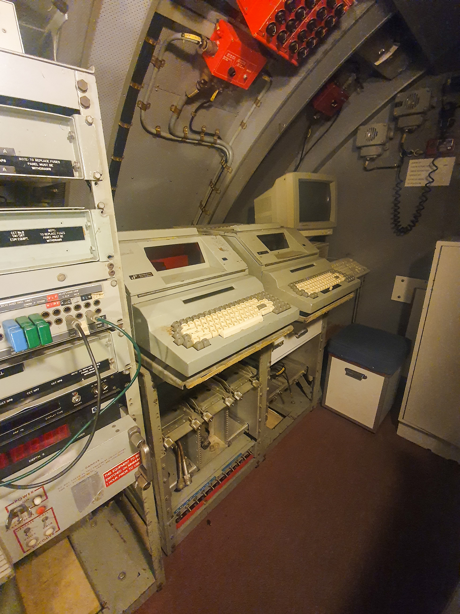
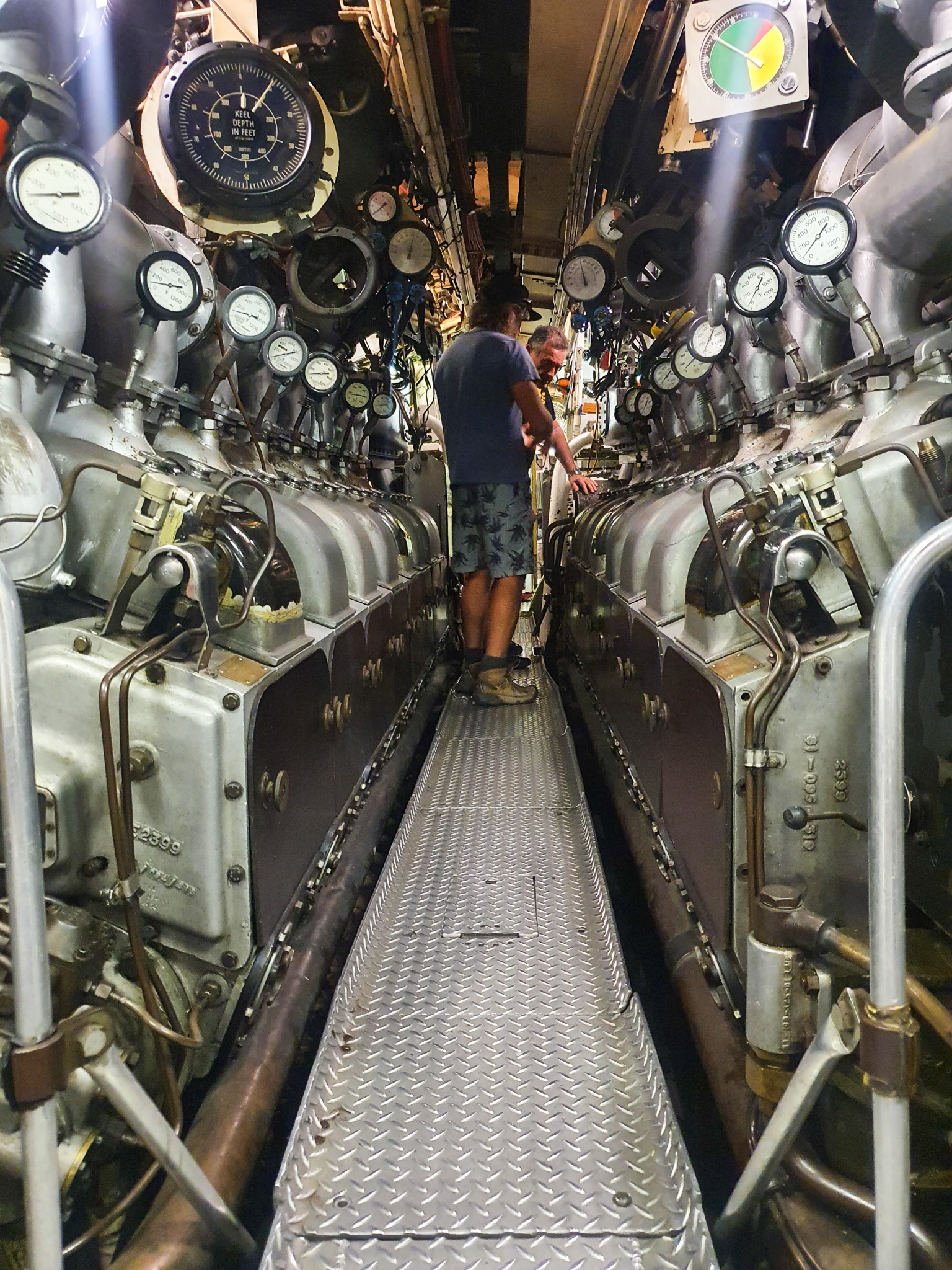
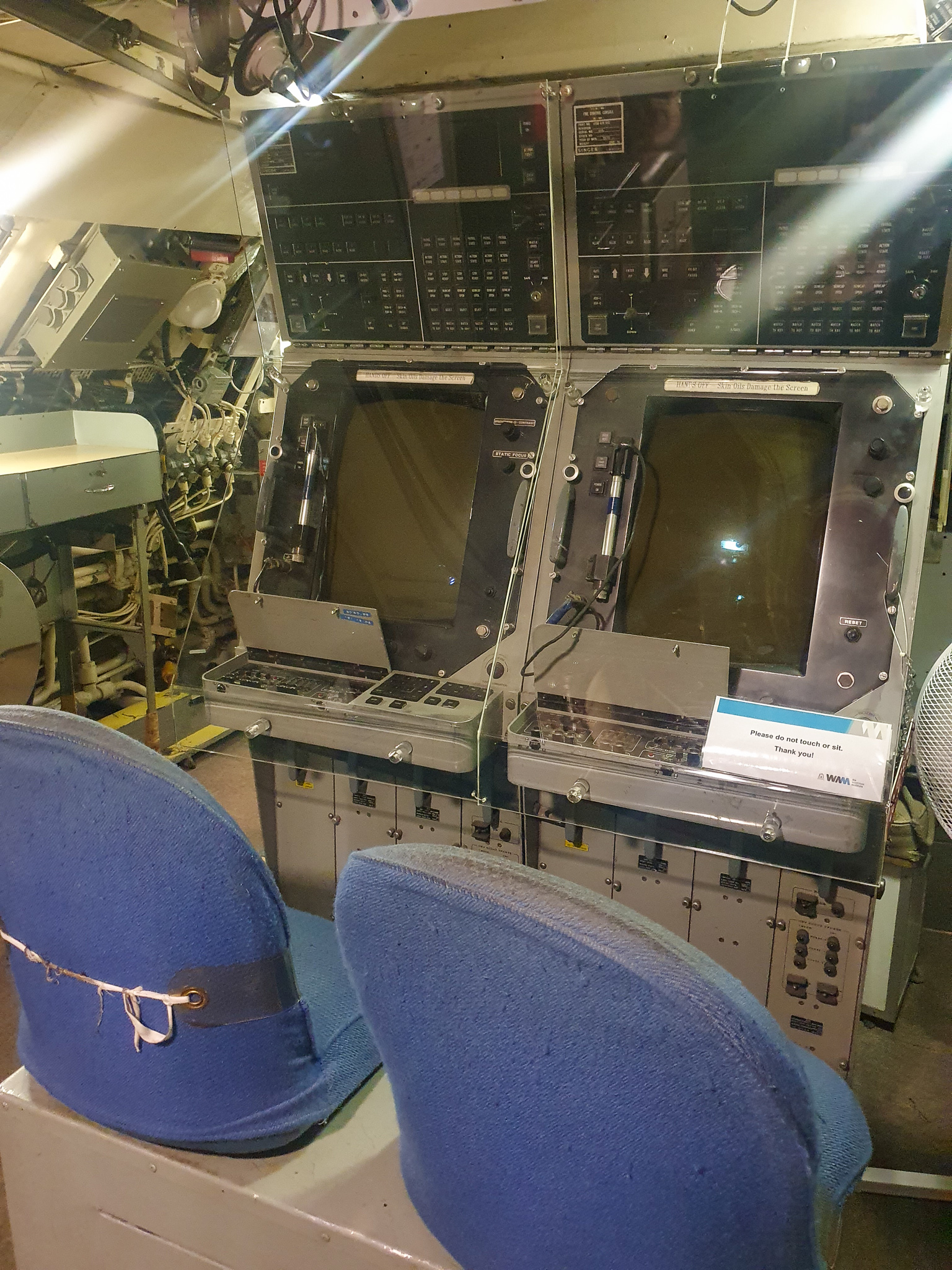
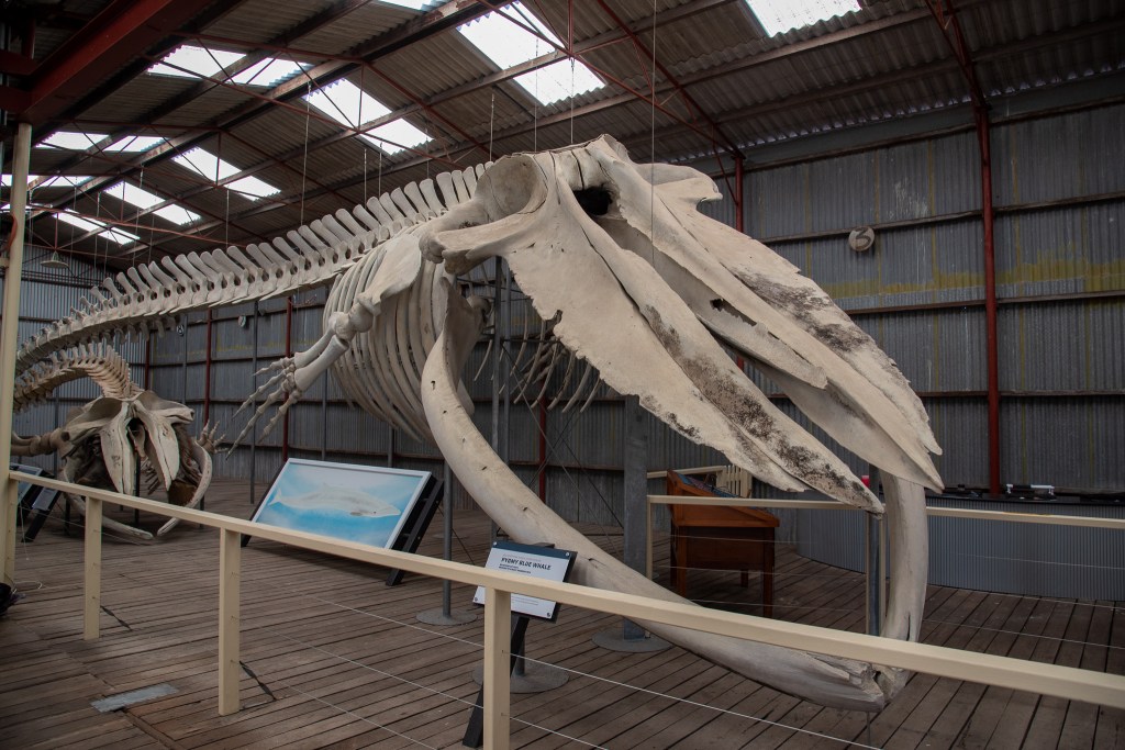
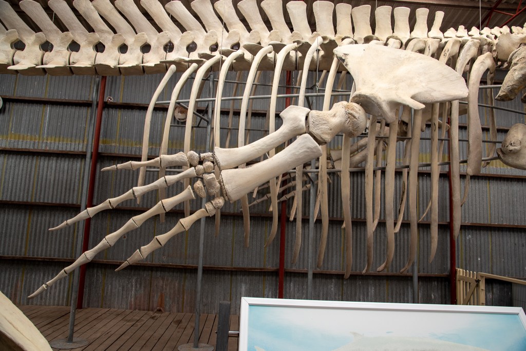
We hired a car for a day and used it to drive right around to the other side of Princess Royal Harbour to the old whaling station. The Cheynes Beach Whaling Company was the last whaling company to cease operations in Australia, closing as late as 1978. There we spent several hours touring the fascinating site; an intact whale processing factory and whale chasing ship. There was a volunteer on the whaling ship who had worked as an engineer on that actual ship. He was fascinating to talk to and we peppered him with all sorts of questions.

Albany’s Historic Whaling Station

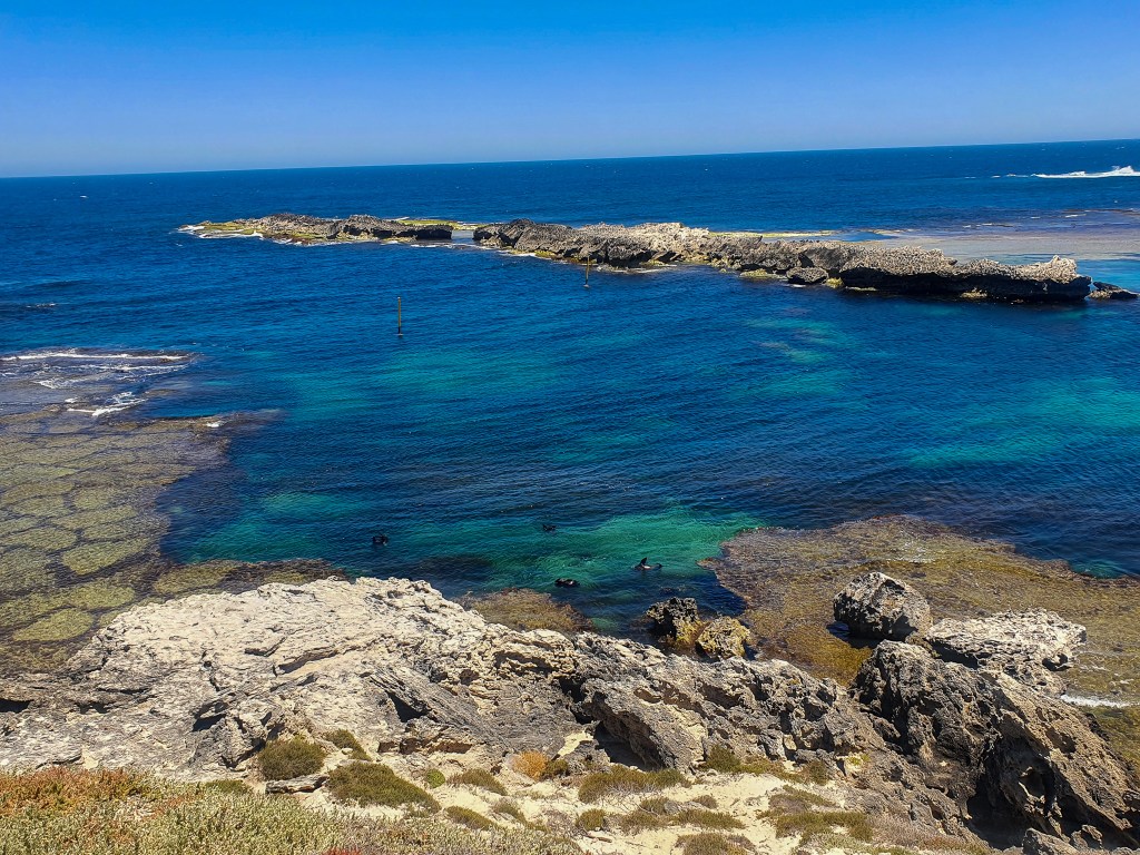
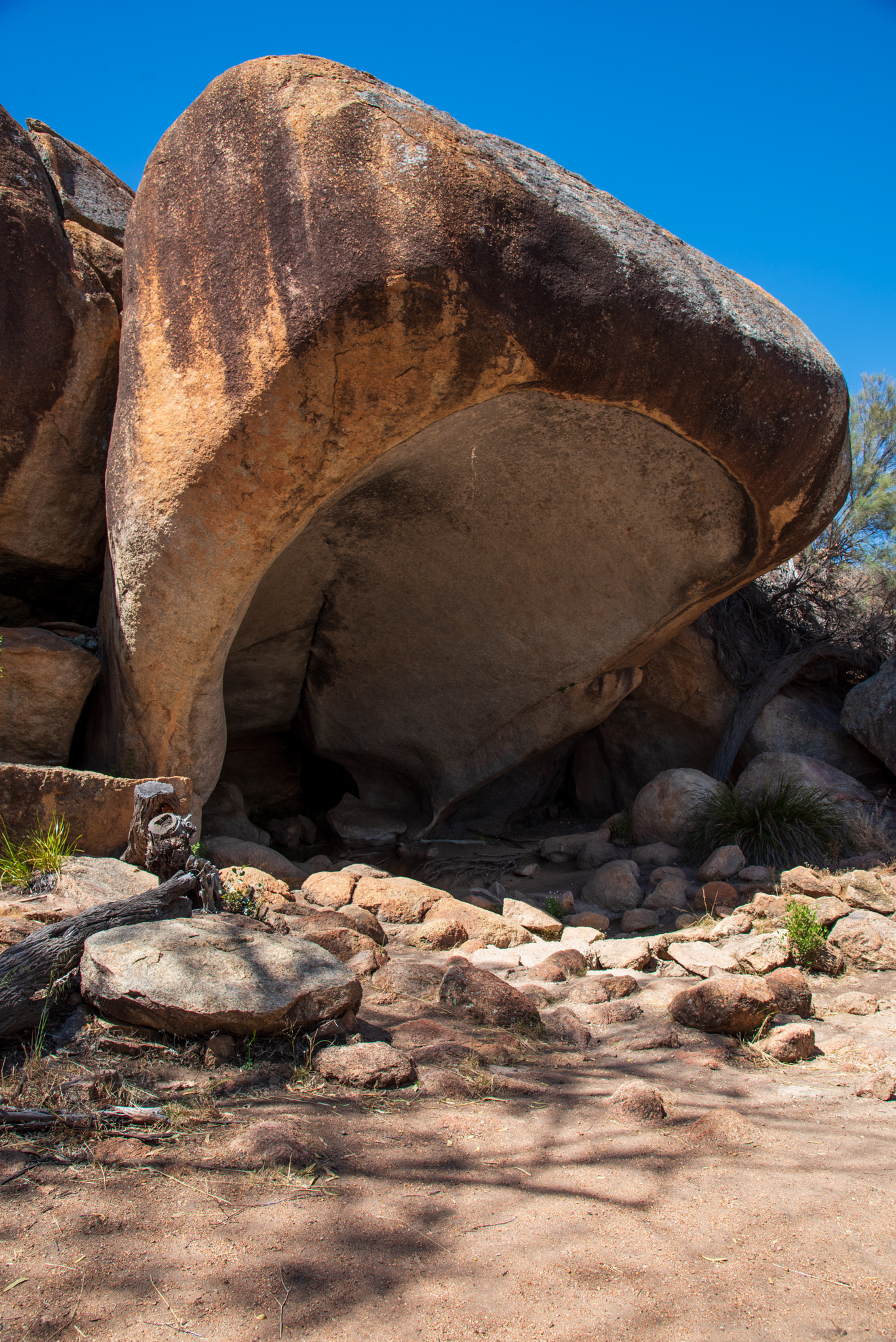
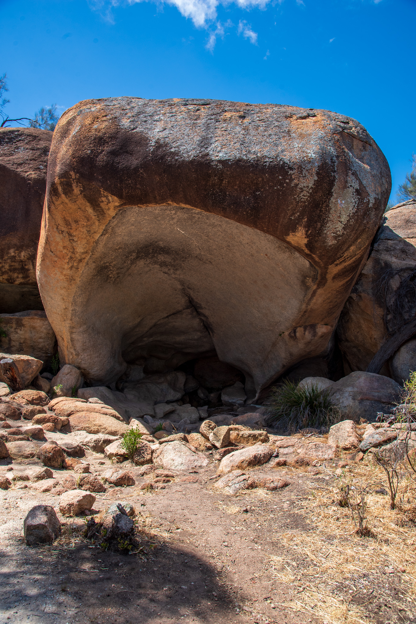
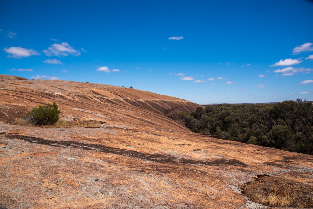
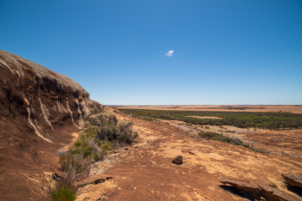
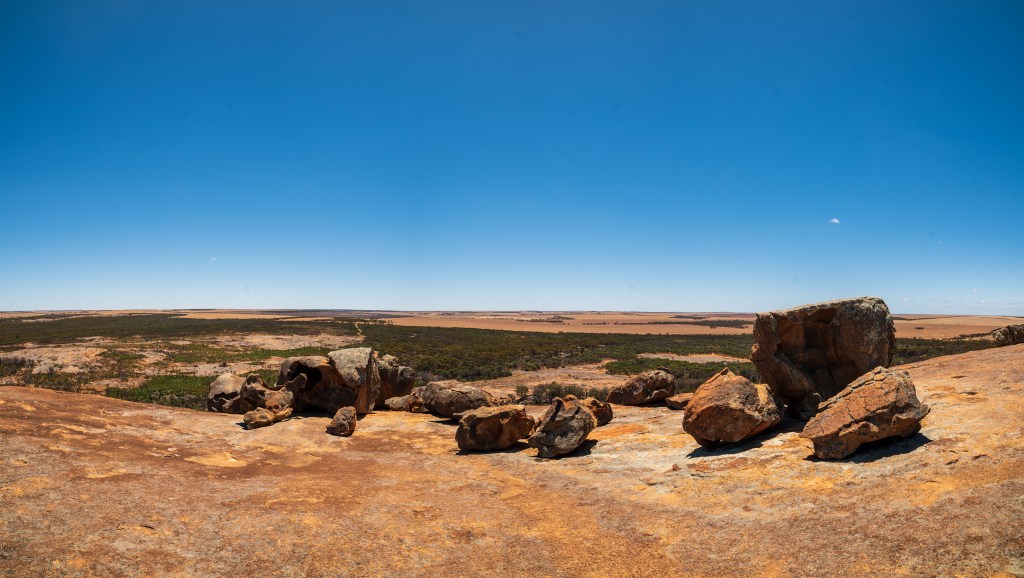
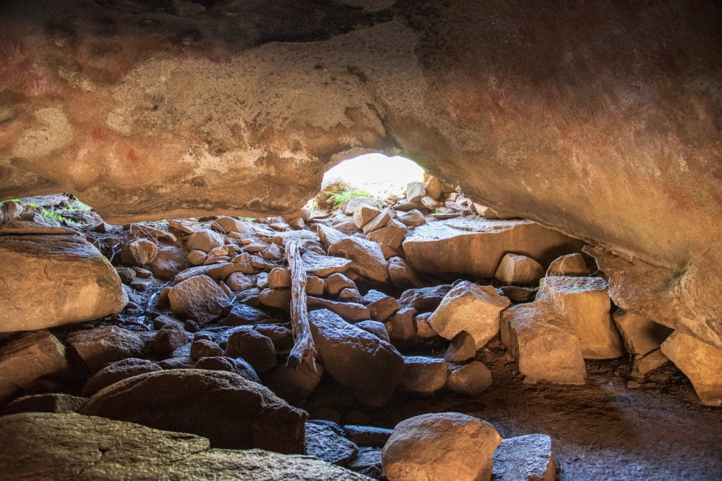
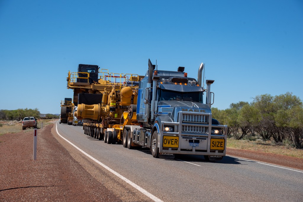
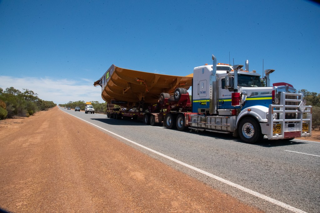
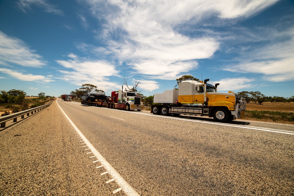
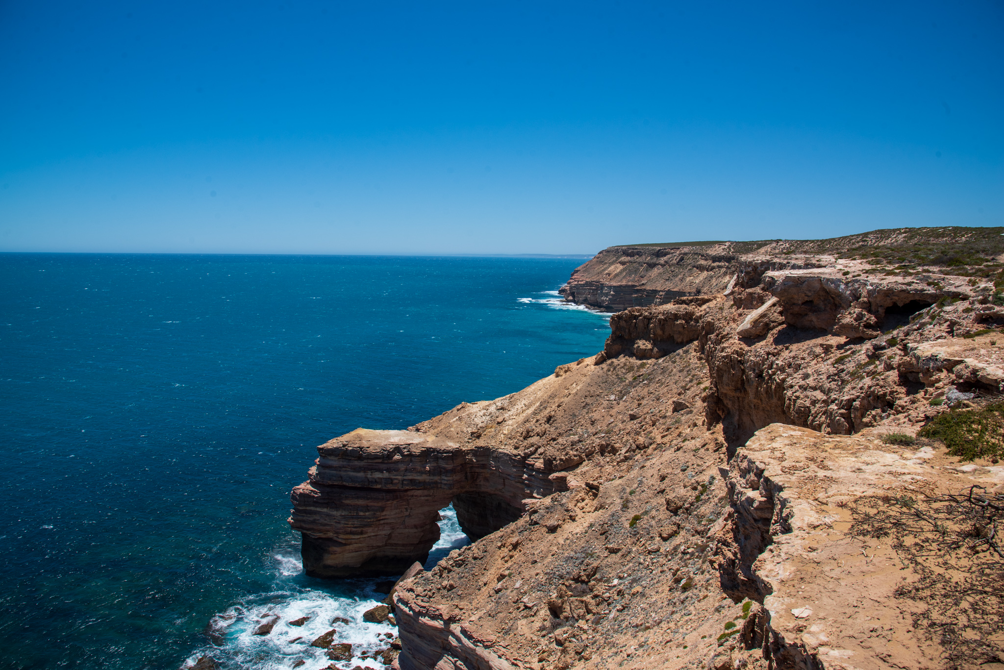
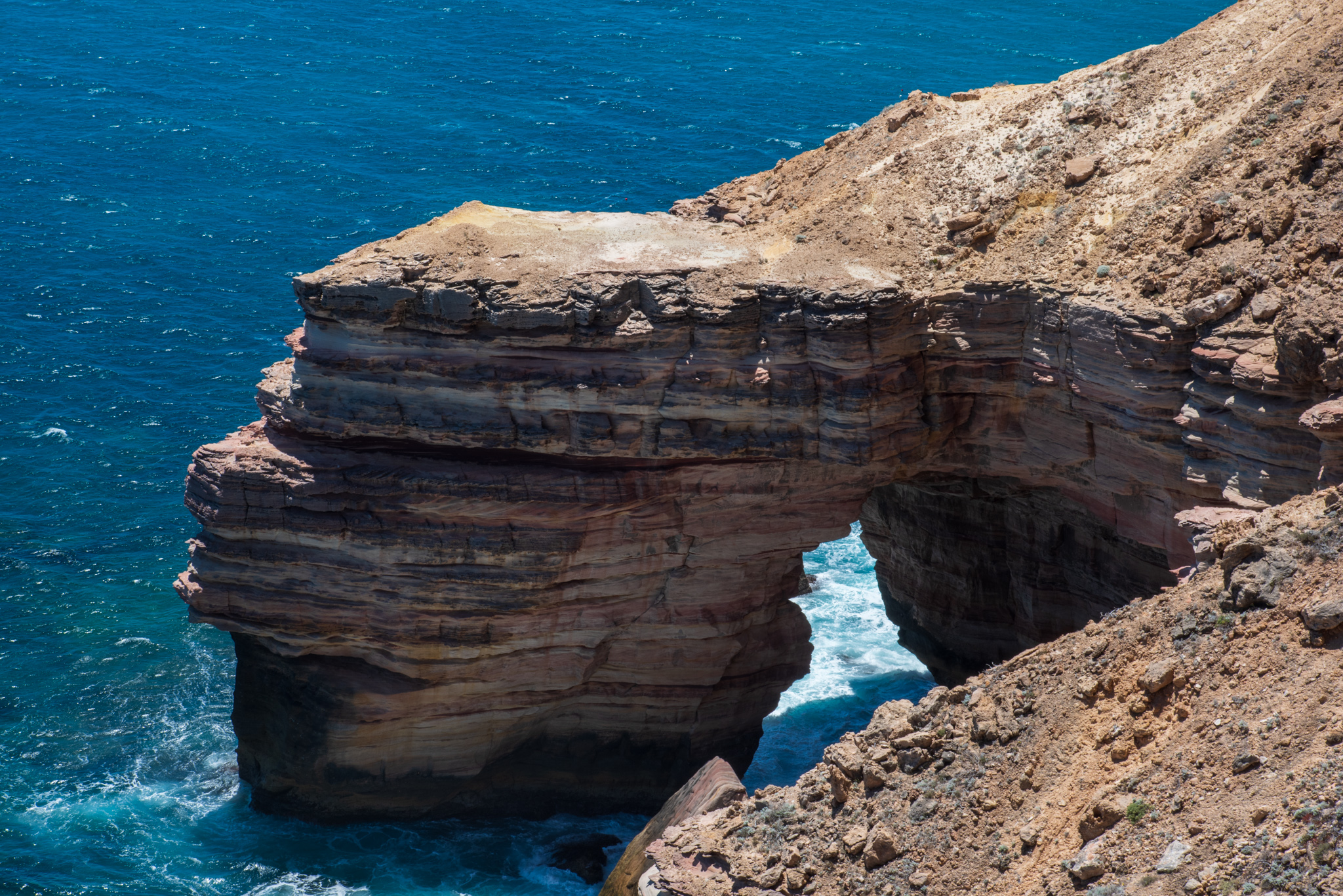
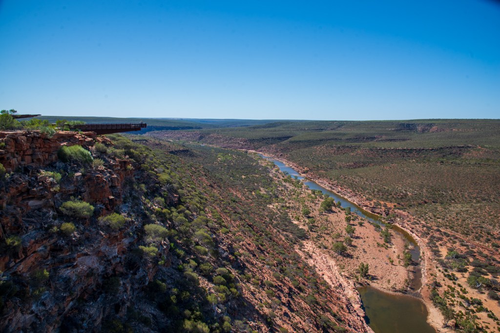
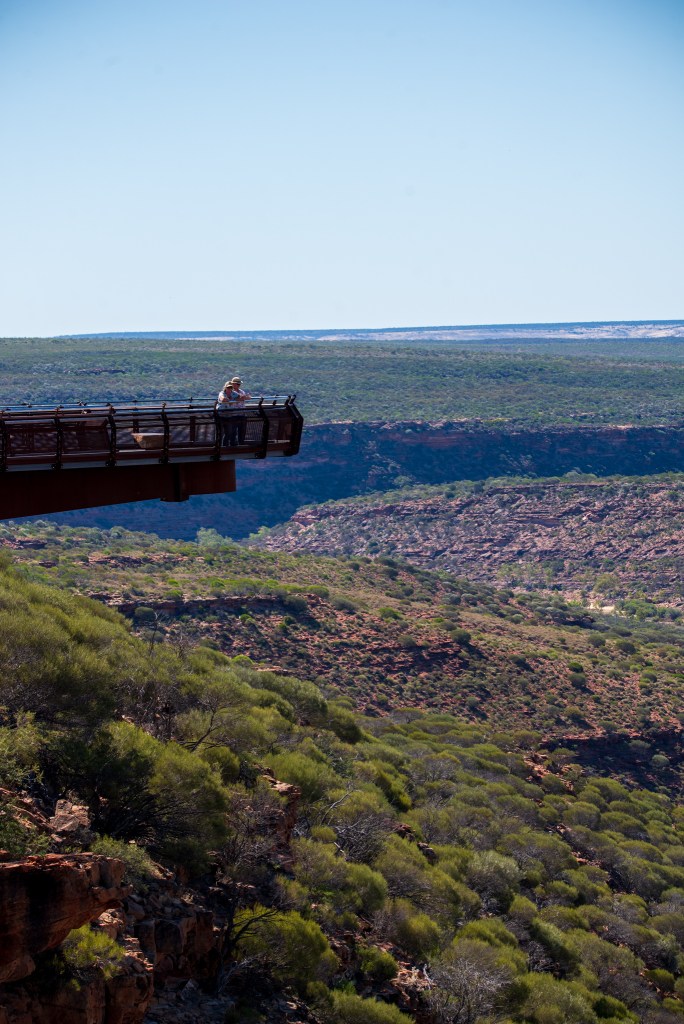
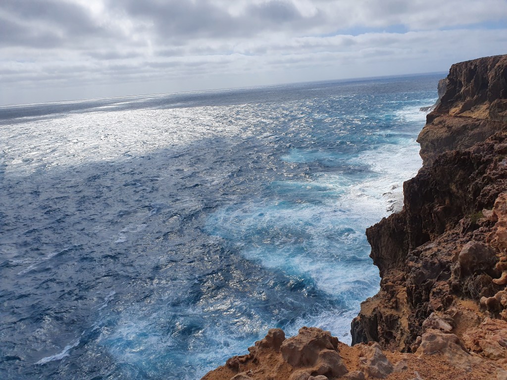
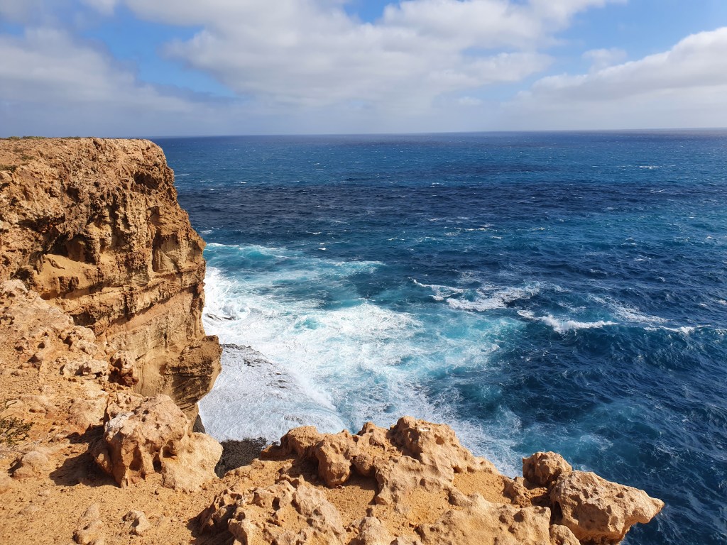
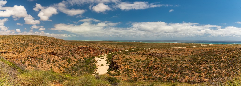
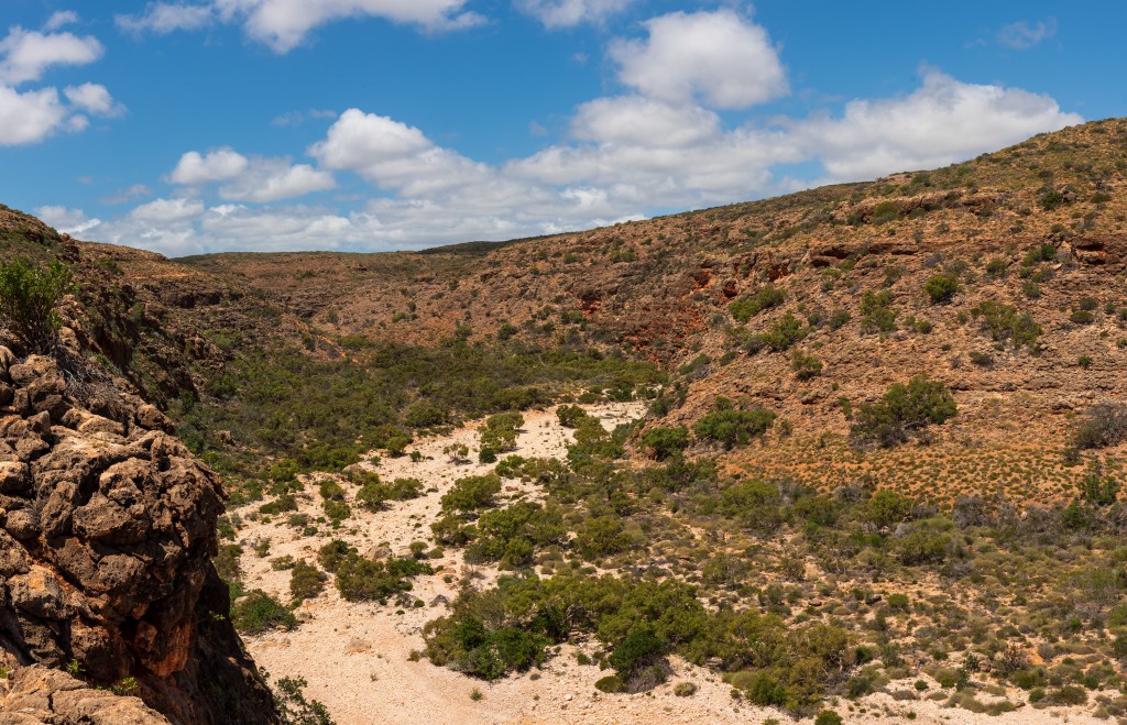
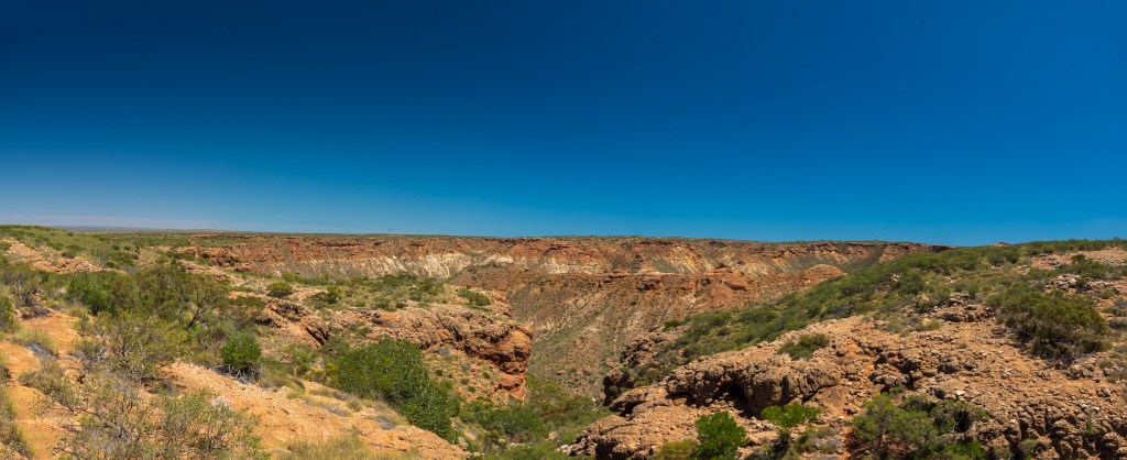
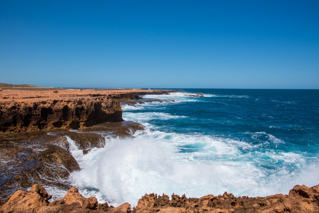
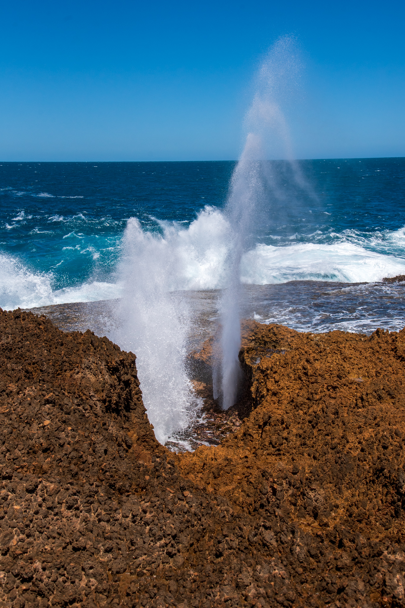
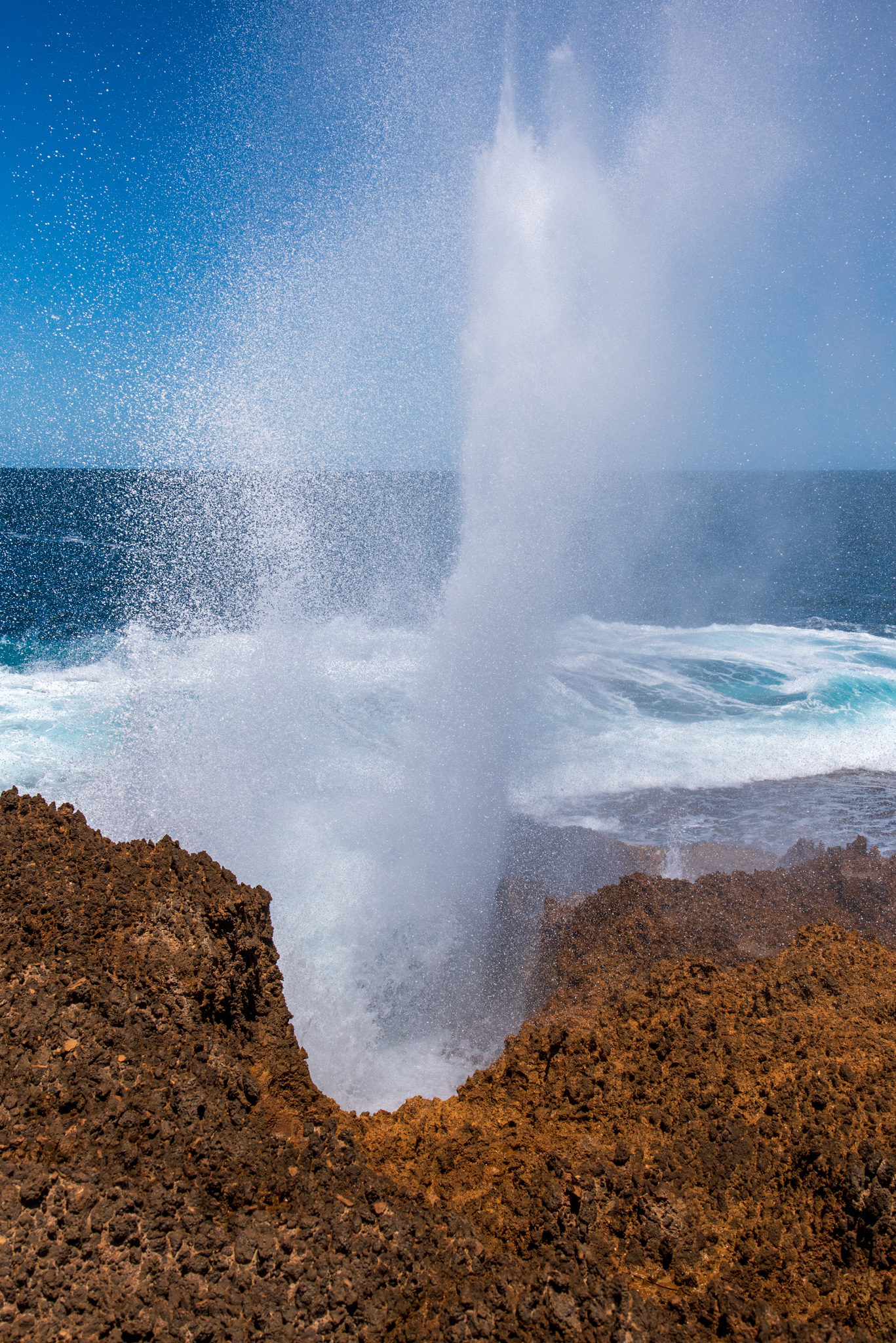
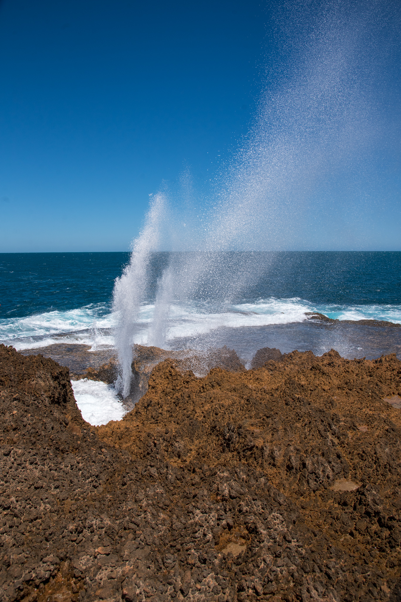
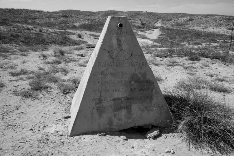
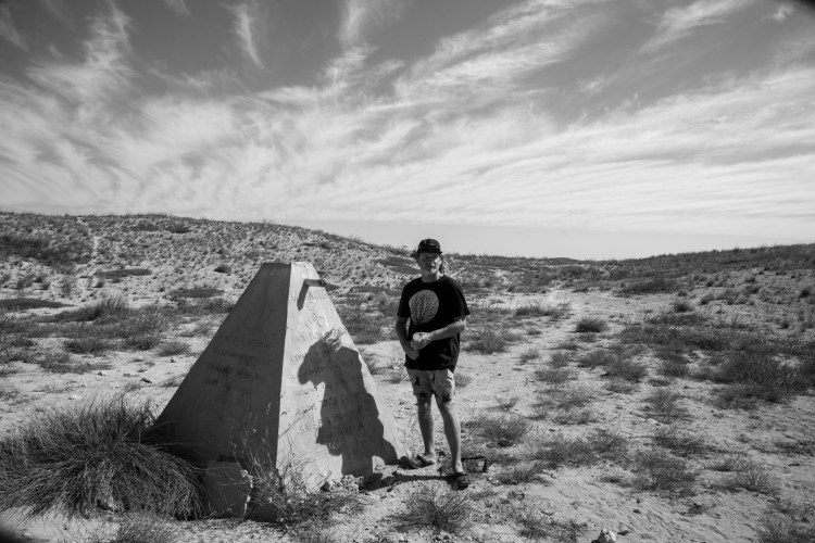
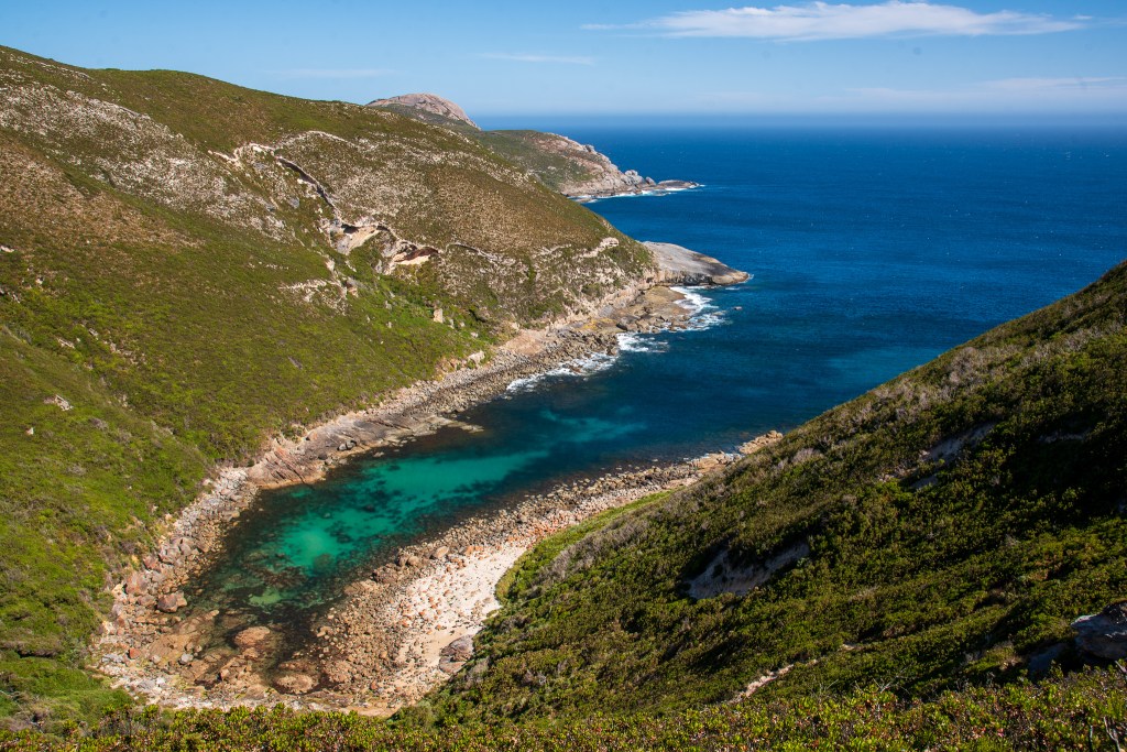
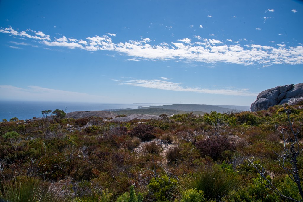
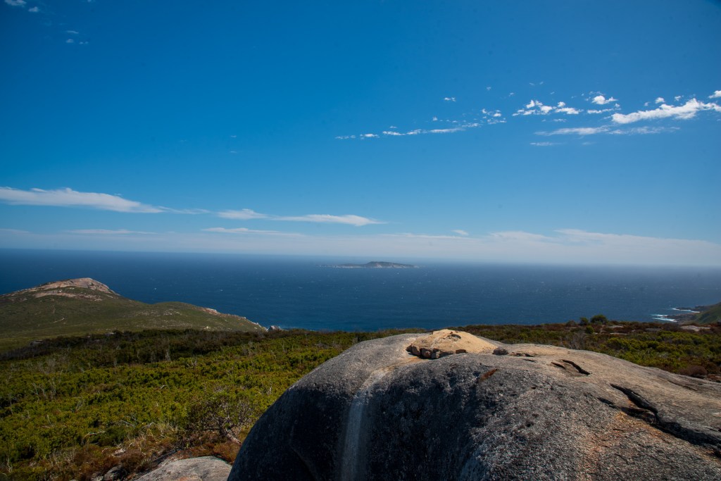
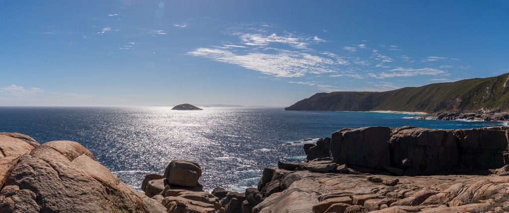
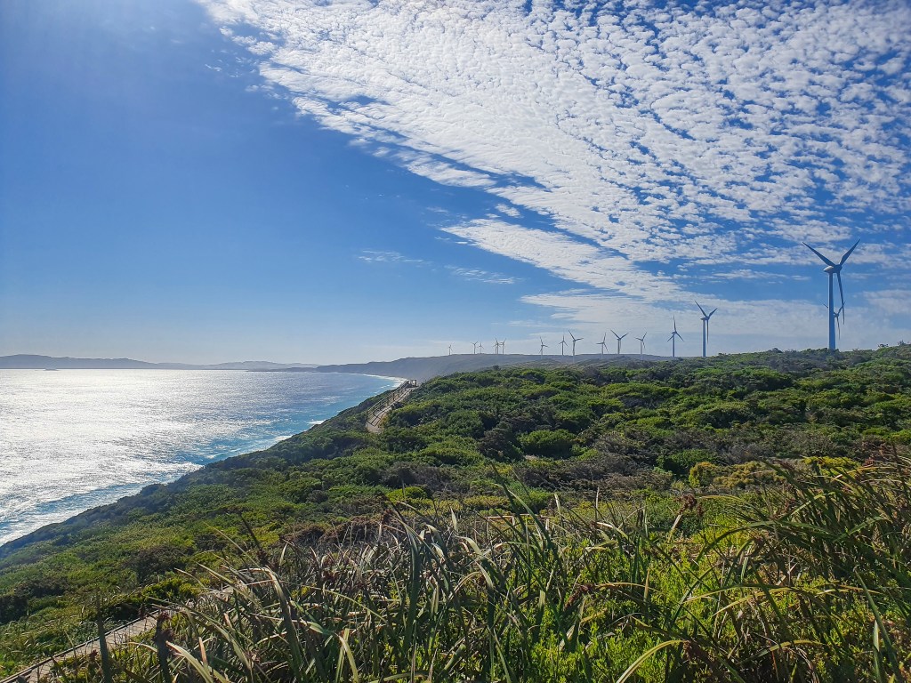
Driving back we stopped at many scenic lookouts along the way in Torndirrup National Park, including Salmon Holes, The Gap and Natural Bridge as well as the Albany Wind Farm.

Torndirrup National Park, Albany
Peak Head, Torndirrup National Park, Albany
Torndirrup National Park, Albany
The Gap, Albany
Albany Wind Farm

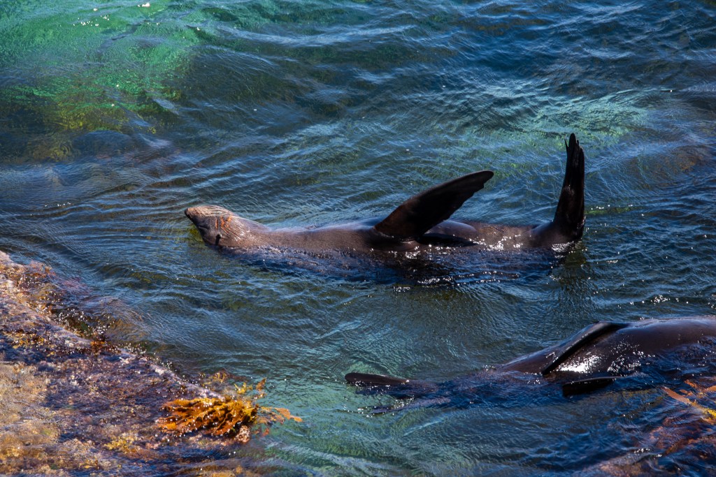
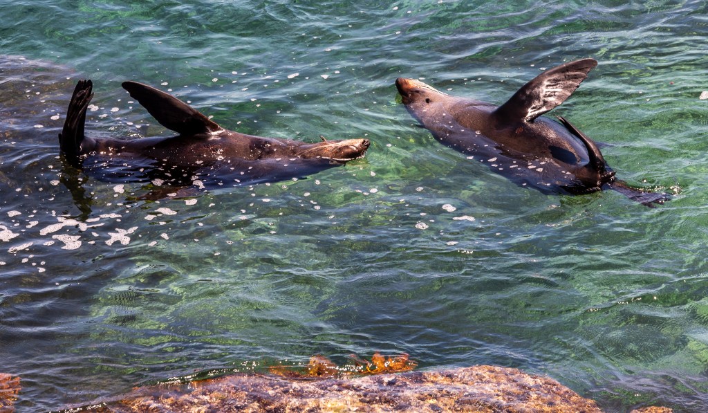
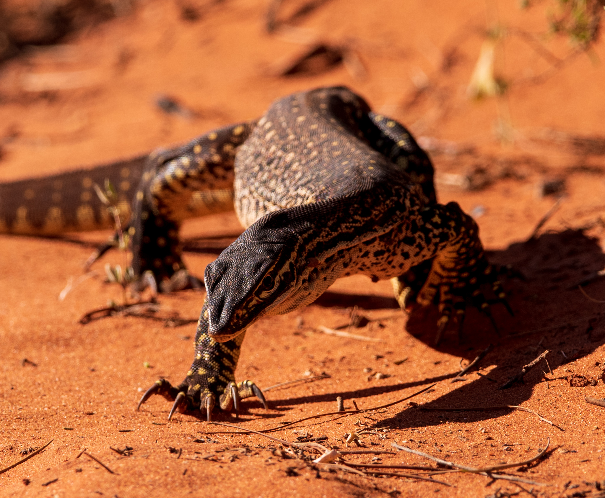
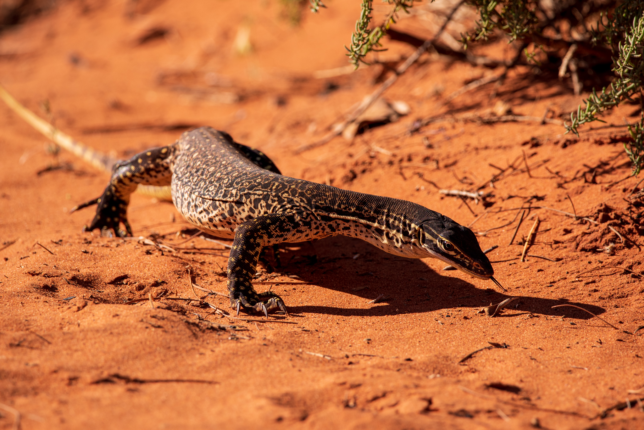
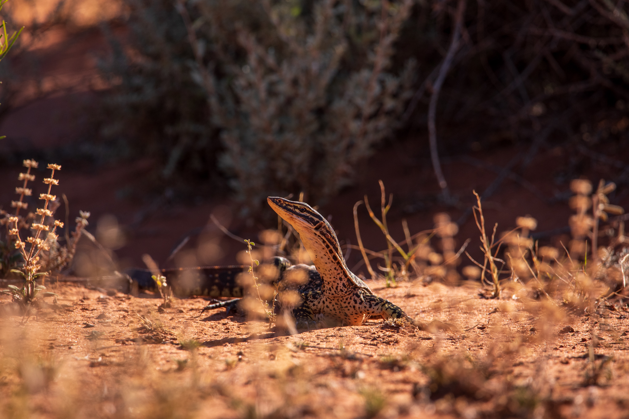
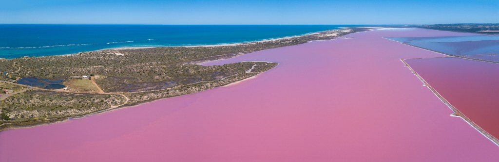
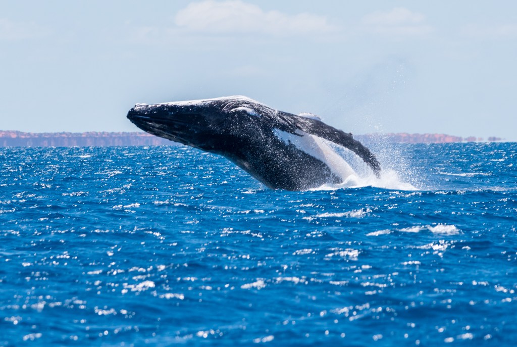
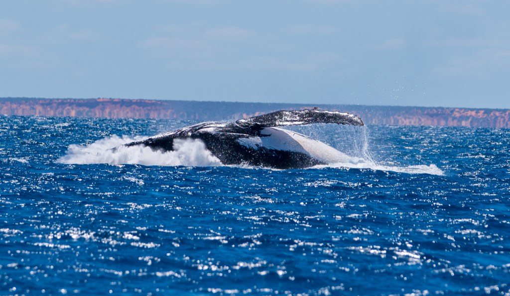
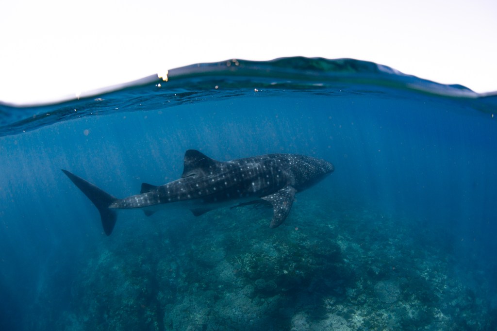
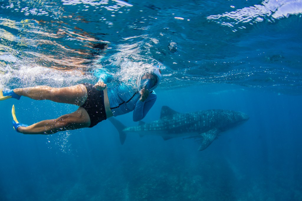
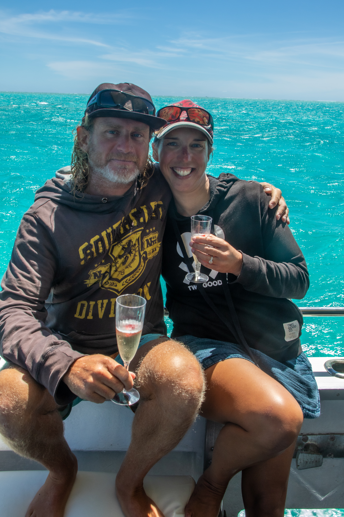
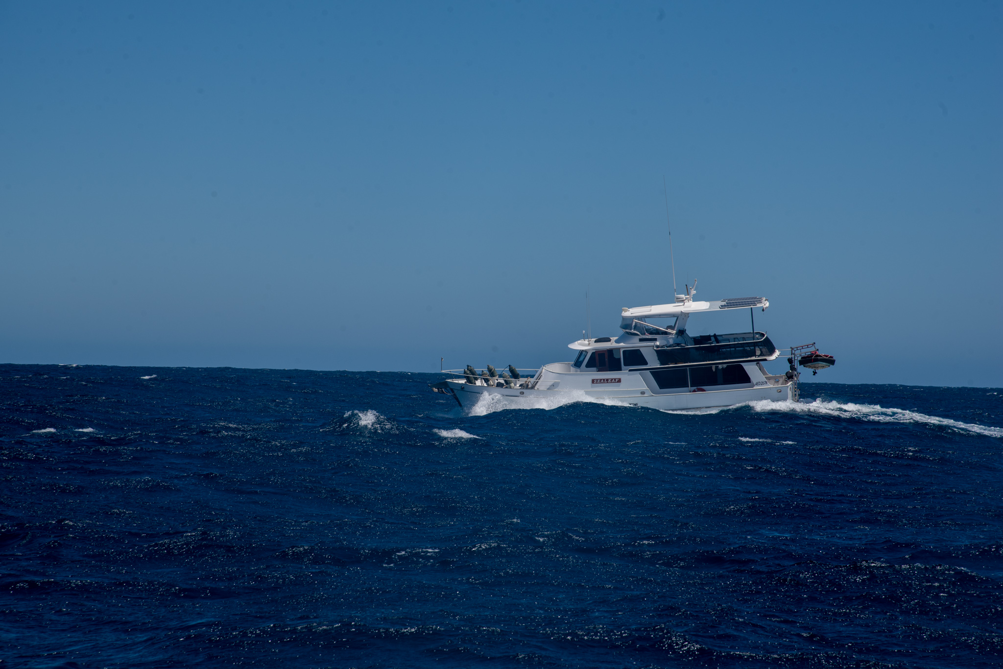
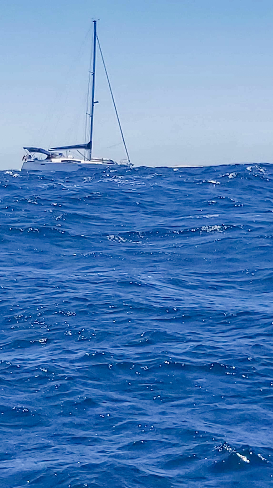
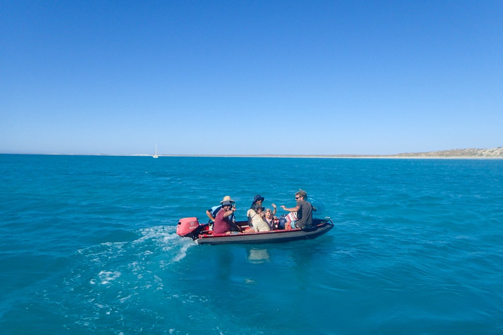
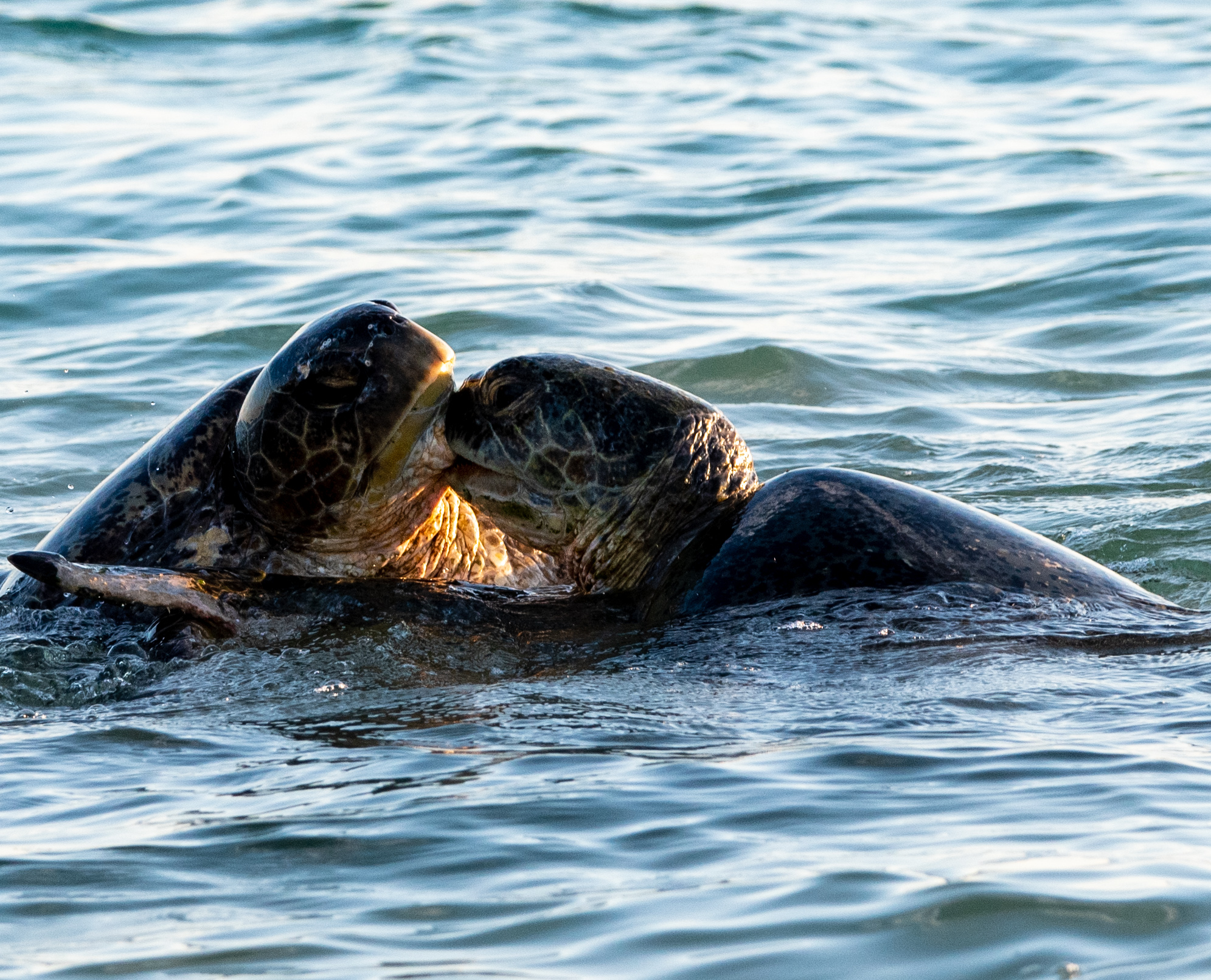
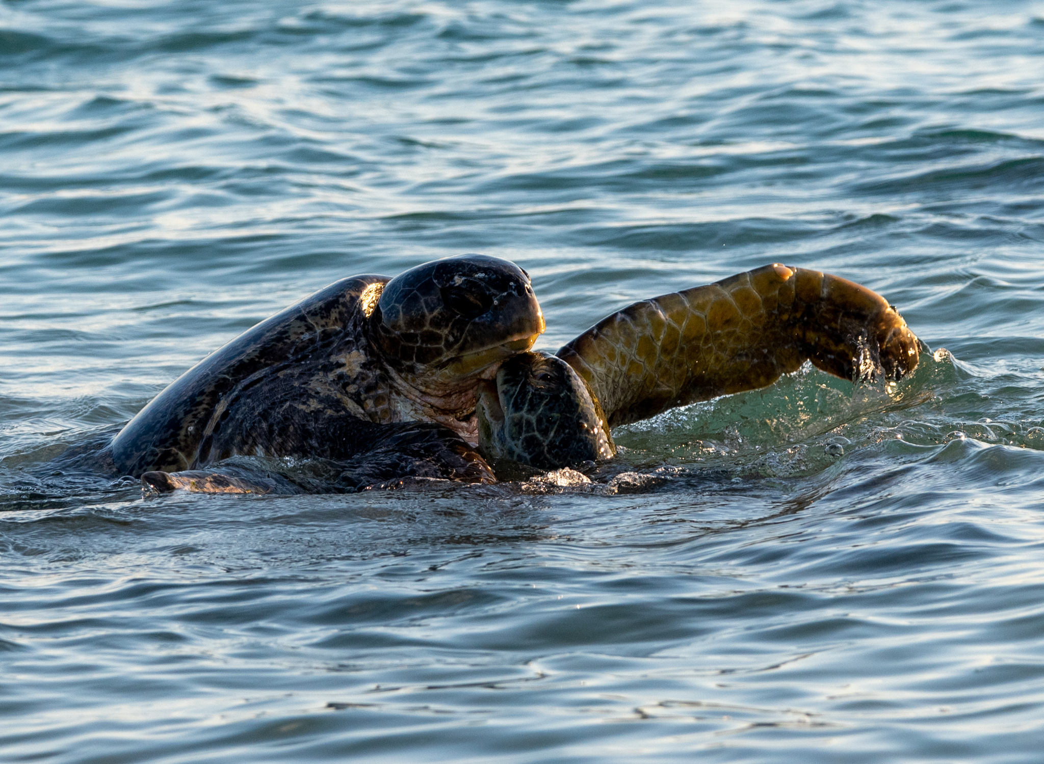
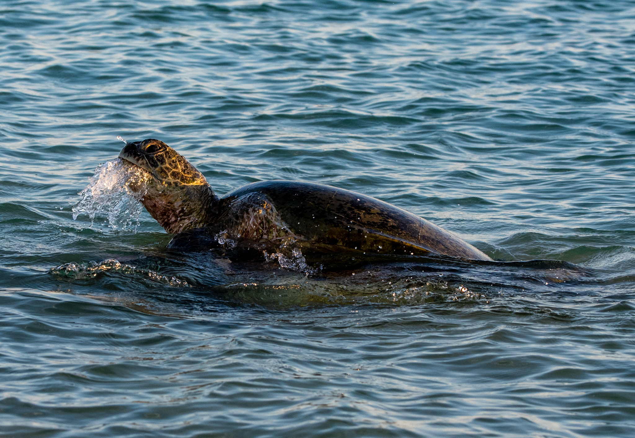
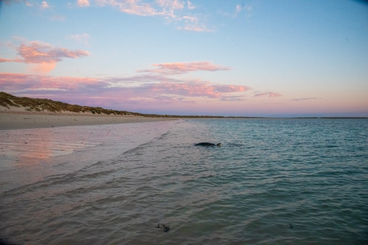
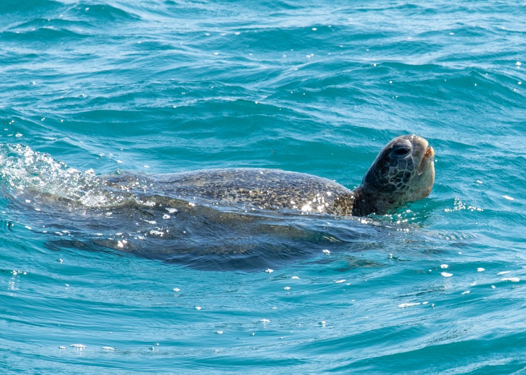
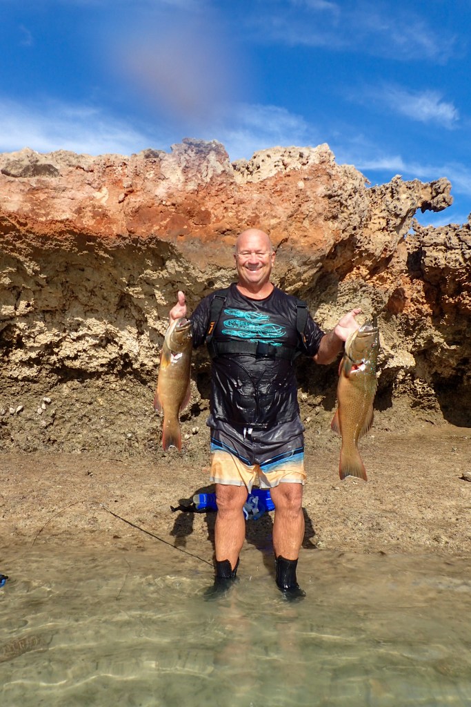
We splashed out on a day trip to Bremer Bay to go on a killer whale tour boat. We would be passing Bremer Bay on our way to Esperance but there was no guarantee that we’d have the right conditions to be able to stop over there, and I didn’t want to miss out on the chance to see orcas.

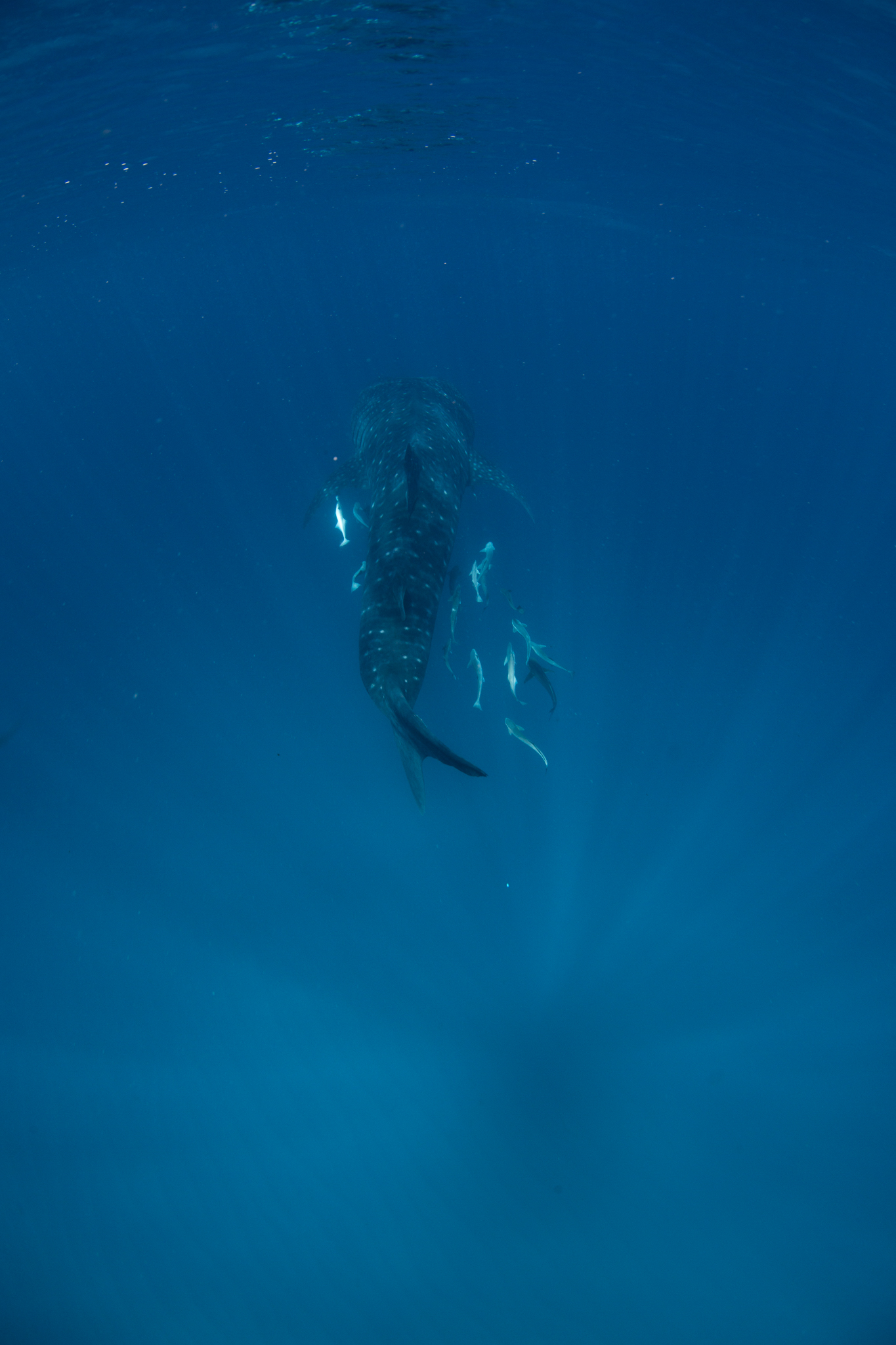
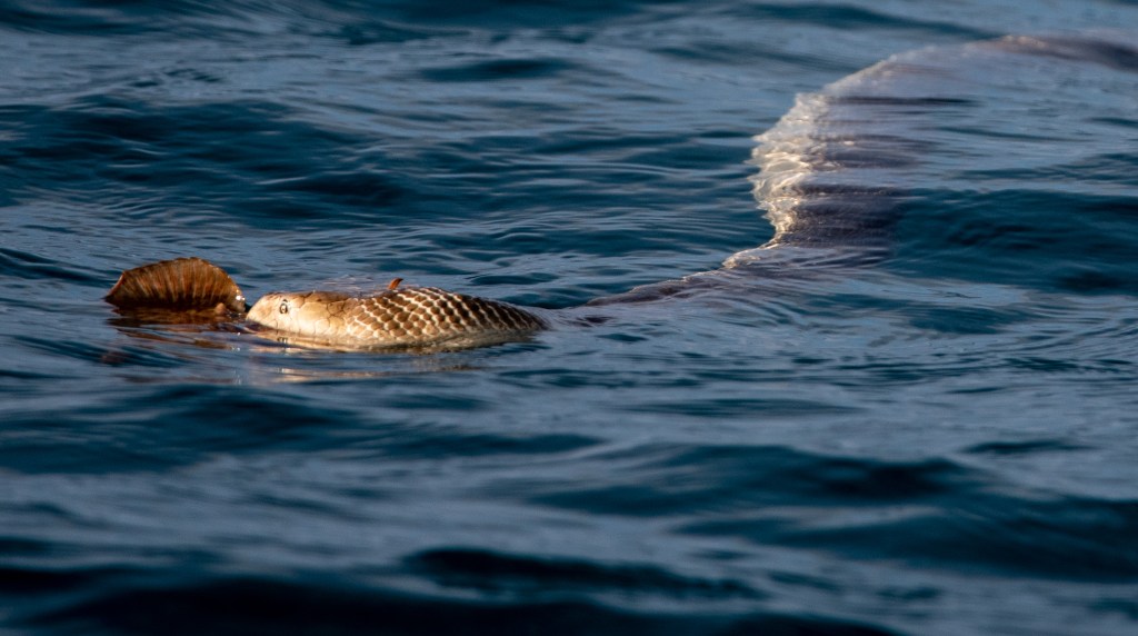
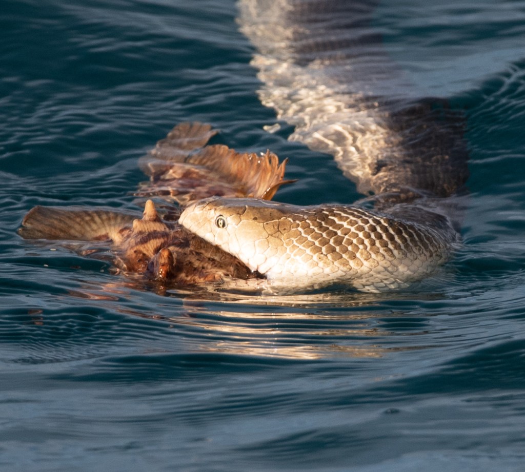
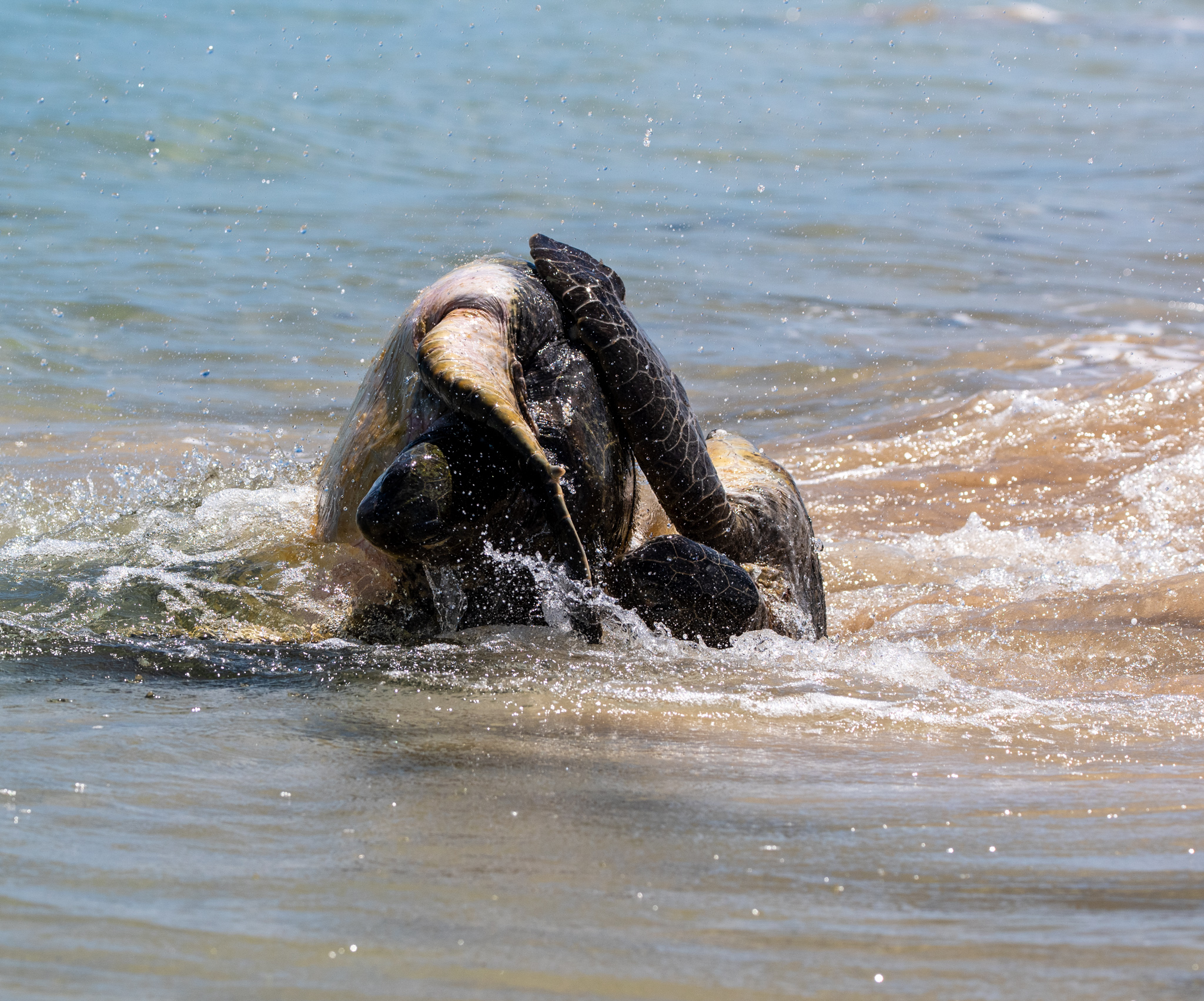
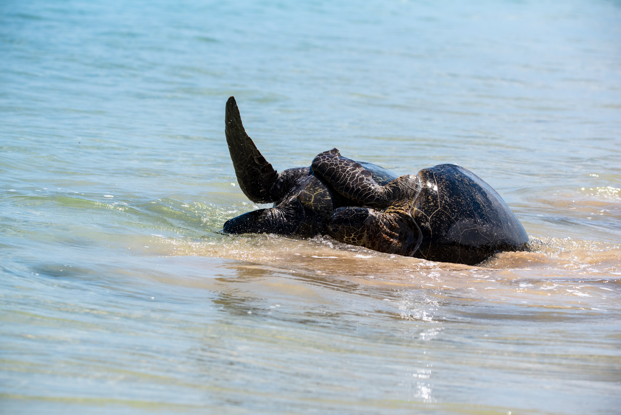
There were fairly calm seas on the day we headed out on the tour boat. I was worried that we mightn’t see any whales, but that concern turned out to be unfounded. We soon found whales, lots of them. It was pretty incredible. I got chills the first time I spotted that distinctive smooth black skin and flash of white around the eyes.

There was a professional photographer on board whose images we were given, but Matt had his camera out and I think his photos are just as good, so here’s some of Matt’s pics:

Orca, Bremer Bay
Orcas, Bremer Bay
Orcas, Bremer Bay

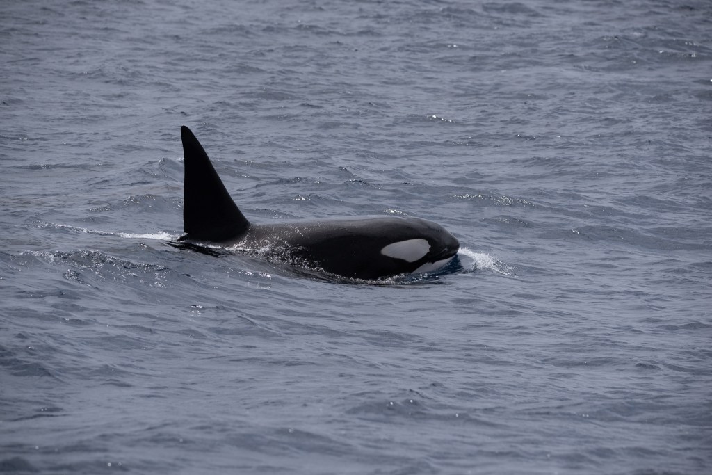
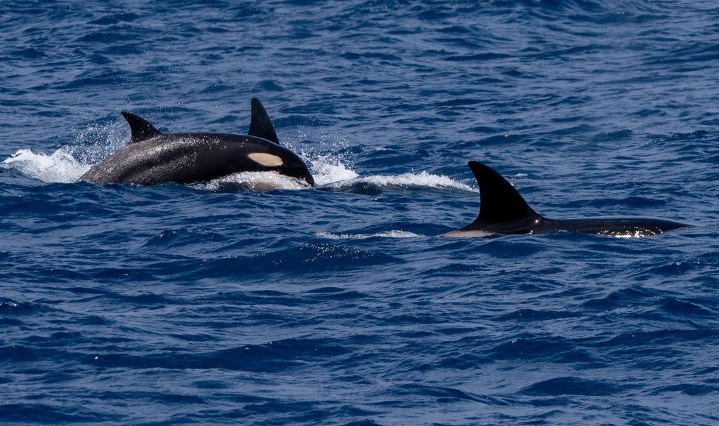
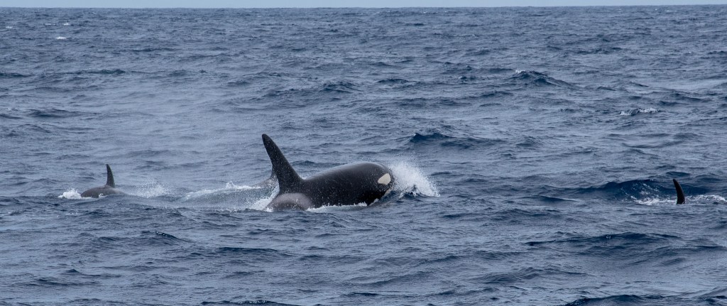
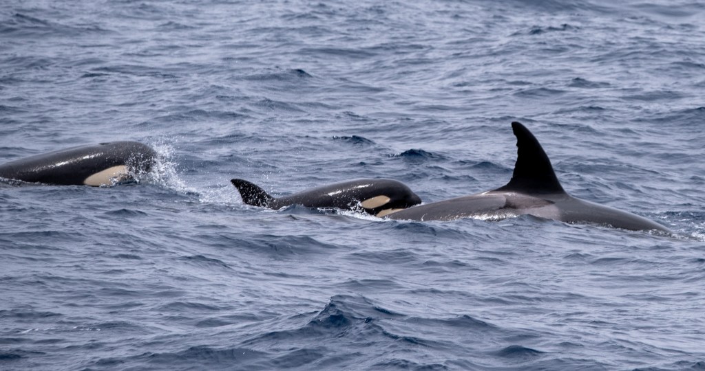
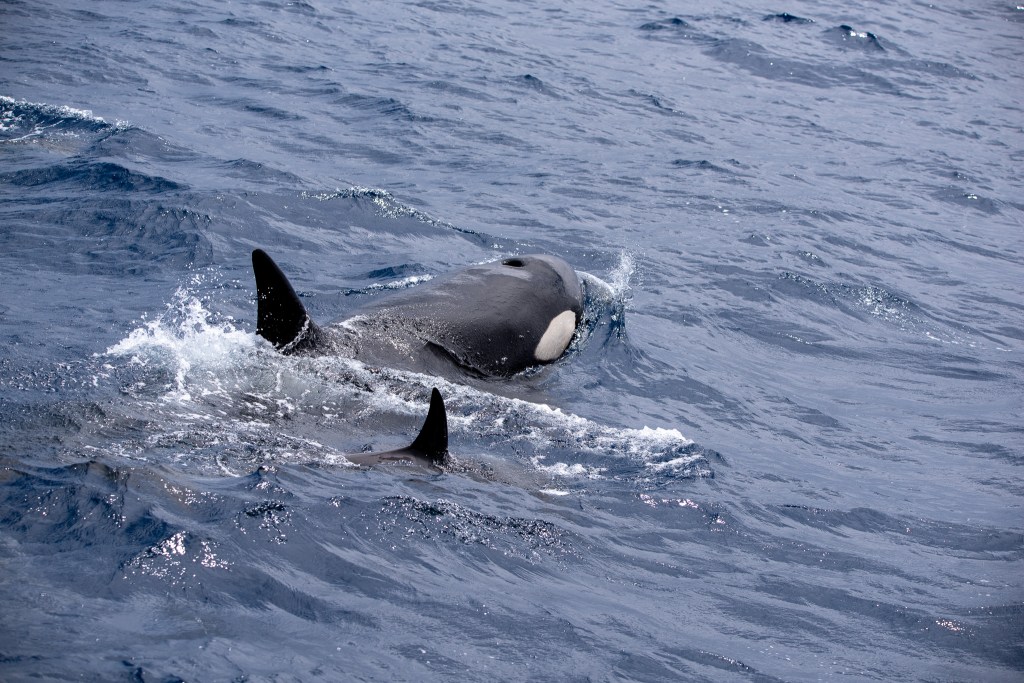
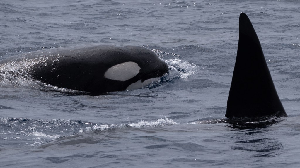
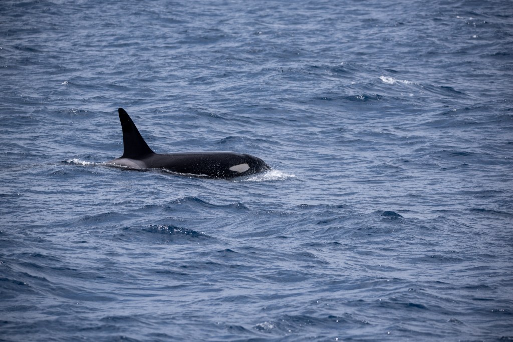
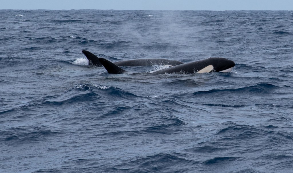
Unfortunately, we didn’t see any dramatic scenes, such as a predation or mass feeding event. According to the staff, the whales we encountered were all pretty chilled, some were even sleeping. But it didn’t matter, we’d seen orcas in the wild!! Not something that happens every day! I made sure to record some waypoints where we encountered the orcas, on the hope that we might spot some from our own boat as we passed by on our way to Esperance.

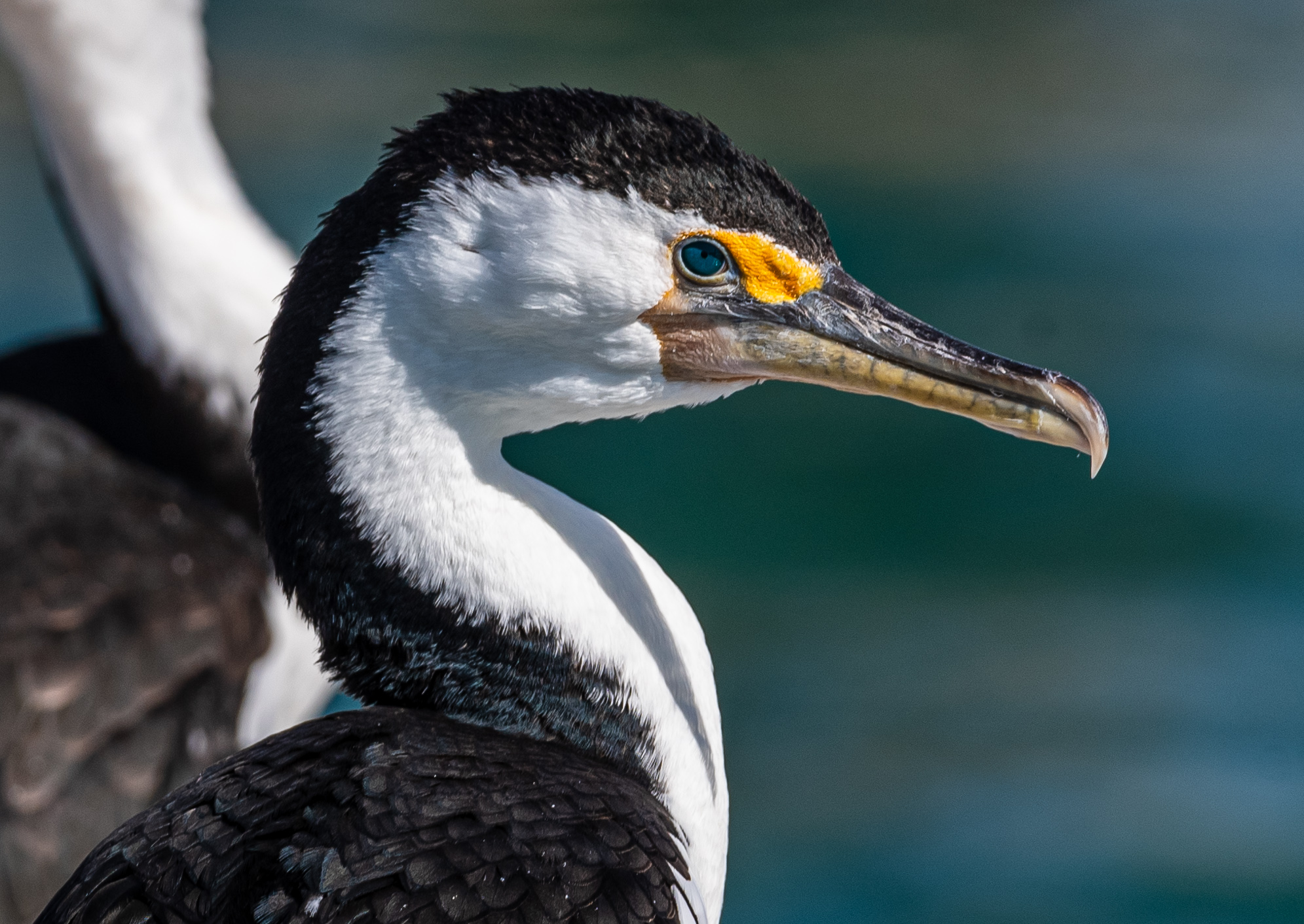
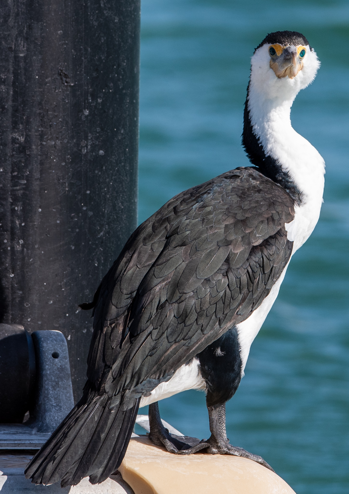
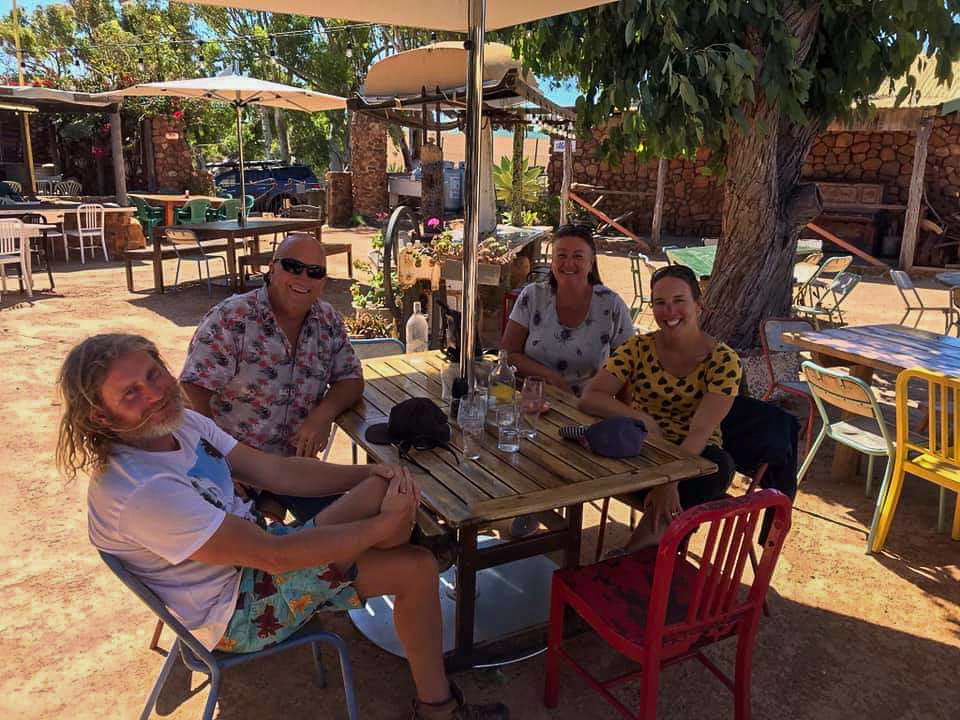
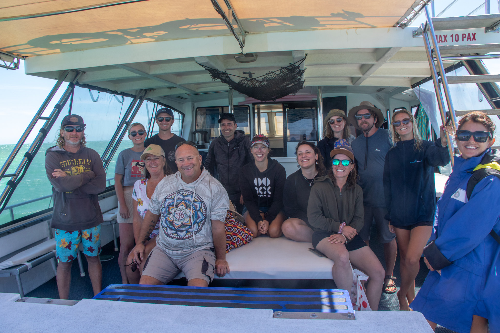
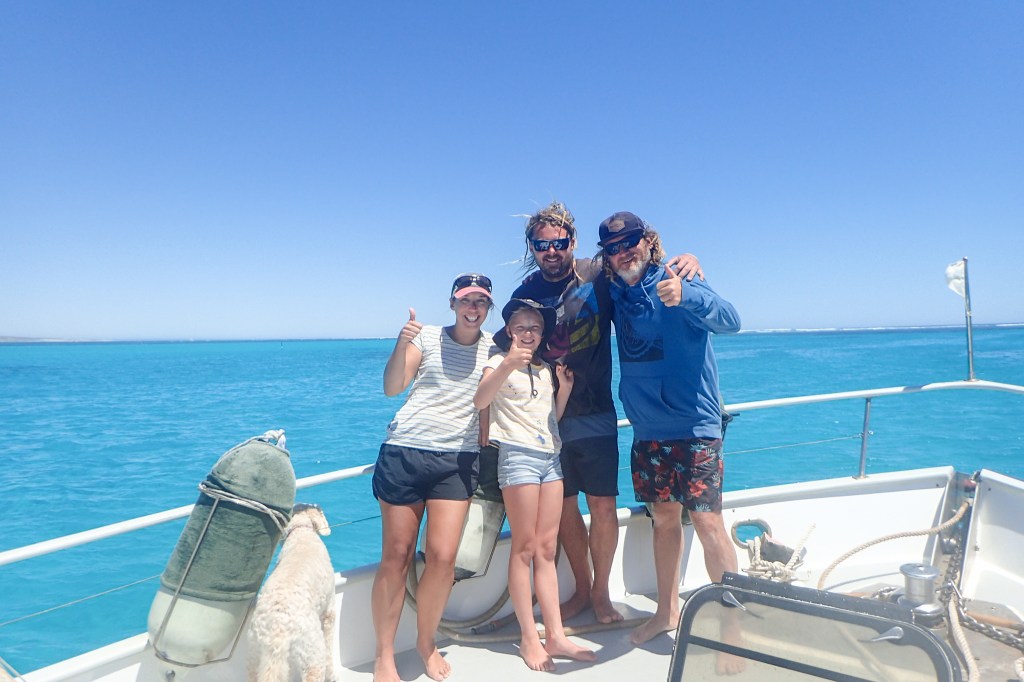
We met a lot of very friendly and interesting people in Albany. Mark McCrae from Panacea, who has crossed the Bight numerous times in his role as a delivery skipper gave us all sorts of advice and info on the crossing and on anchorages in SA. David and Kris pulled in next to us on their yacht Taipan, finally home after a 12 year world circumnavigation. How’s that?? Super impressive. We spent an evening with them, listening to some incredible stories from their years of sailing over more than a few bottles of wine. They had a car and drove us out to Emu Point for coffee the following morning. Such a lovely couple, and such a shame they’d arrived back in Albany only two days before we were leaving.

And then there was Lisa Blair. Lisa is another type of sailor altogether. We think winds of 40 knots are extreme, but for her that’s just an easy day at the office; she sails in winds more than double that strength. Lisa was in Albany preparing for her second world record attempt at sailing around Antarctica, solo and unassisted. In 2017 she completed the feat, but suffered a dismasting below Cape Town when she was 1000 nautical miles from land. Because she went in to fix her boat she was ineligible for the record. So she’s going to try again. Crazy much?!

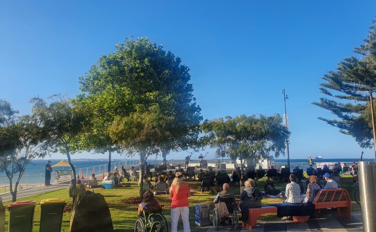
I’d heard about Lisa and even read her book about the last Antarctica trip but it was something else to meet her. When we heard that she was giving a talk at the Albany Yacht Club on the Friday evening we went along. The table I’d booked under ‘Lisa’ was right up the front and Lisa was sitting at it. Turns out the organisers hadn’t thought to allocate her a table but she’d seen the one with my name on it and assumed it was for her. So we just introduced ourselves, pulled some more seats up and joined her. Lisa is very friendly and outgoing and an excellent speaker. Her hour long presentation was captivating as she talked us through the various dramas and hurdles that she’d encountered on her journey. It was quite the hair raising adventure.

This time she has partnered with a few organisations, including the BOM and is going to be carrying a range of equipment for environmental studies such as sampling microplastics and being a mobile weather station. It’s a huge undertaking and she was in Albany madly trying to finish off a million jobs so that she could leave to catch the last of the weather windows. We offered our help and spent a day on her boat, re-tying the lifeline netting. It was nice to be able to help out and we promised to follow her journey around Antarctica and to go and see her when she eventually makes it to Melbourne. She has a blog -lisablairsailstheworld.com for anyone interested in following this extraordinary woman along on her trip. Safe travels, Lisa!!

Lisa’s yacht, Climate Action Now

Finally, there was a weather window for us to get to Esperance. It was only a short one, about 48 hours, so it precluded us from stopping along the way, but we didn’t mind, we were ready to move on. I was looking forward to getting to Esperance and seeing my family again.

So after saying goodbye to all our new friends we packed up the boat and prepared for our overnight passage. One last hop before the big crossing across the Bight.

A hero is an ordinary individual who finds the strength to persevere and endure in spite of overwhelming obstacles.

Christopher Reeve

Hopping Down the South West Coast

We spent the month of December slowly hopping down the south west coast of Western Australia. It was a strange time for us. We were both feeling a bit out of sorts. It had become clear that we weren’t going to be able to go back to Melbourne for Christmas with our families. Well, we could go to Victoria but there was no guarantee that we’d get back into Western Australia and we decided not to risk it. We felt frustrated and disappointed, helpless and angry. If I’m being perfectly honest, we were feeling a bit lonely too.

Our saving grace was that there were plenty of stops along this little stretch of coast that we could day hop between, with sheltered and secure anchorages for the yacht and cute little towns to explore ashore. The winds were no longer oppressively strong, and apart from when trying to round Cape Naturaliste for the final southern stretch, they didn’t hold us up too much.

We also made the decision to put the boat in a marina, hire a car and drive across to Esperance to share Christmas with my Uncle, Aunty and cousins. We cheered up no end knowing that we would soon be having some company.

Rottnest Island

Just twelve miles off the coast from Fremantle, Rottnest Island or Rotto, as the locals call it, seems to be the preferred cruising ground for just about everyone with a boat in Perth or Fremantle. I’d been several times before, catching the ferry over, but accessing the island from our own boat gave a completely different perspective to the experience.

An island of just 19 square kilometres, Rotto boasts 63 beaches and 20 bays, all with incredibly white sand beaches and clear blue water. It is very very beautiful indeed. Ashore, there is a small village with shops, bikes for hire and of course the chance to spot a quokka, what the island is most famous for.

Most boats seemed to be on moorings, either privately owned or hired, but at $70 a night for the cheapest, we decided to drop our anchor. The moorings were also jam packed into the bays, meaning that the boats were pretty much all on top of each other. It didn’t feel very relaxing or private. We dropped anchor in the small but secluded Parrakeet Bay. Or so we thought.

Parrakeet Bay, Rottnest Island

After leaving Cool Change all alone in the little bay while we went for a walk on the island, we returned a few hours later to discover over 15 boats crammed into the anchorage. It was chaos. Many were large charter boats full of partygoers celebrating end of year functions and Christmas parties. Music blared, people shouted and our idyllic little bay was no longer quite so relaxing.

One charter boat anchored uncomfortably close and kept swinging perilously near to us. The staff on the charter boat didn’t appear to be concerned but we were, and Matt took some photos just in case. It was quite nerve wracking. When they finally left, I breathed a huge sigh of relief and could relax.

Luckily, all the boats returned to the mainland in the evenings, leaving us to enjoy the beauty of the bay. In hindsight, we probably hadn’t timed our visit too well. A mid week stay may have been less busy, rather than the first weekend in December!

Cheese platter for two, Rottnest Island

Still, we enjoyed our stay and spent a day touring on the Island Explorer bus. It was a hop on, hop off bus and we hopped on and hopped off at lots of stops. We said Hello to a quokka and enjoyed watching the Fur Seals flopping around at West End.

Rottnest Island
Busy, busy anchorages in Rottnest Island
Fur seals at West End, Rottnest Island

Rockingham

We spent three nights anchored in Parrakeet Bay and then on our last night Matt began vomiting. He was sick all night, pretty much every hour. Neither of us got much sleep and I was grateful that we were in a secure and sheltered anchorage.

In the morning I motored us down to Rockingham while Matt stayed in bed. We were heading straight into the wind and the water was rough and choppy. There were also a lot of boats to dodge in the busy waterway. Once we motored around Garden Island and into Cockburn Sound the wind eased and the water was calm and still. A half submerged submarine passed by and I snapped a few photos, but couldn’t raise Matt from bed to have a look.

I rang The Cruising Yacht Club of Western Australia, based in Rockingham, and booked a mooring for a week. As we entered Mangles Bay, Matt came up to help and we tied onto a mooring buoy. Phew! We were safe and secure. The little bay in Rockingham was calm and protected, it was very pretty and it was warm and sunny. I could finally relax.

We ended up staying on the mooring at Rockingham for nine nights. Matt recovered after two days, but on the third night it was my turn. The gastro hit me just as hard and I was up all night, spewing every half an hour. It was a nasty, nasty bug and I spent the next day in bed. Once again, we thanked our lucky stars that we were in a secure and protected anchorage. Being violently ill on a boat is never fun, but would have been a hundred times worse in rolly or choppy conditions. We were also grateful that we hadn’t both been sick at the same time; it’s a pretty small head (bathroom) and I wouldn’t want to have been fighting over the toilet bowl.

We didn’t do much for those first four days, apart from showering at the yacht club, wandering to the supermarket and relaxing on the boardwalk. Finally we were both recovered and ready to explore a bit further afield. We caught a bus to Shoalwater and then took a ferry out to the tiny Penguin Island where we saw five Little Penguins up close in a rehabilitation program. I learnt some fascinating facts about the Little Penguins; such as when they are moulting, which takes two weeks, they can’t eat or swim during that time so they gorge themselves in the weeks leading up and put on extra weight. They also get very hot during this time and the rangers often water the penguins with watering cans to help keep them cool. The island was also home to a huge population of pelicans as well as a range of other birds.

We ventured out to White Lakes Brewing, where we shared a table with a friendly couple and began chatting. After a while, it became clear that we had crashed Scott and Amanda’s first date. Although we were very much enjoying the company, we excused ourselves as getting to know us was not the aim of their first date. Arriving back at Rockingham beach, we found a Johnny Cash tribute band beginning a free concert, so we settled down with an ice cream to enjoy the show. Good times!

Anchorage at Mangles Bay, Cockburn Sound, Rockingham
Rockingham Beach, Rockingham
View from Penguin Island
Pelicans on Penguin Island
Johnny Cash Tribute Band, Rockingham

Mandurah

As we left Rockingham in the early morning and motored north through Cockburn Sound, we could see Little Penguins in the water, right near us. We had never seen penguins from the boat before and it was really cool to spot them, although it wasn’t easy, with their dark feathers blending seamlessly into the dark water.

We had hoped to see some seals that are known to frequent Carnac Island, but it was not to be, so we continued on uneventfully until we reached the Murray Reefs, not far from our destination of Mandurah. Then the wind swung and we had 25 knots from the south west, turning the bay into a choppy and swirling washing machine. There were cray pots everywhere and they were incredibly hard to see in the rough water. We were on high alert, weaving and dodging our way between the numerous cray pots.

We spent three nights in the Mandurah Ocean Marina and then one night anchored out in the estuary. Mandurah was all about its Christmas Lights Trail, with 23 light installations dotted all over the town. We witnessed some incredible sunsets here, had dinner out a few times and went to the movies to watch Venom 2, which was one of the worst movies I’ve ever seen.

Mandurah Ocean Marina
Sunset, Mandurah Estuary
Christmas lights, Mandurah

Bunbury

The sheltered Koombana Bay in Bunbury was just a quick two night stop for us, although you could easily spend longer here. We picked up a ‘free’ mooring and walked into town, enjoying wandering aimlessly though the streets. The weather was just beautiful, warm and sunny. Kristin and Attila from SV Kelandria 3 invited us over for drinks and it was lovely to meet and chat with some like minded cruisers.

Koombana Beach, Bunbury
Moorings in Koombana Bay, Bunbury
Marlston Hill Lookout, Bunbury

Busselton/Geographe Bay

Leaving Bunbury just after sunrise we emerged into calm seas with no swell. With both the main and headsail out we had a lovely sail south. It was the best sail we’d had in months! Our destination was Port Geographe Marina, one of the nicer marinas in WA. We had two nights here before picking up our hire car and driving to Esperance for Christmas. The boat had a big clean, inside and outside and I emptied the fridge.

Port Geographe Marina, Busselton

As per normal, there were many birds in the marina. We’d never before seen this particular bird on the left though. He was quite large, and fascinated us with the way he stalked up and down the docks, occasionally diving in to the water and emerging with a squirming fish in his beak. The other main type of bird, on the right below, were not so welcome. Nicknamed turd factories by Matt, they flocked all over the boat and covered it with droppings. Even when we’d left the marina, with the boat freshly hosed down, they followed us out to the bay and proceeded to cover our decks with crap again.

We drove to Esperance and spent Christmas Eve until Boxing Day at my Uncle and Aunty’s house. They have a large family and with everyone so welcoming and hospitable, we thoroughly enjoyed ourselves. A busy and bustling household with people constantly coming and going, it was overwhelming in the nicest way to be surrounded by friendly people. We can’t thank them and my cousins enough for having us.

Christmas Day in Esperance

We took two days to drive back to Busselton, stopping overnight in Albany to reconnoitre the marina facilities for our upcoming stop there. There were several boats in the marina that we’d met previously and I gave Jo and Chris from No Regrets a call. They invited us onto their boat for coffee and it was lovely to hear about their passage along the south coast. When they heard that we were going to sleep in our hire car as all the accommodation in Albany was booked out, they invited us to stay in their spare bed. It was very kind of them, and an example of how generous and supportive the cruising community is.

The next morning we drove north to the Porongurup National Park, and walked the steep 1.5 kilometre track to Castle Rock, a granite outcrop with a suspended skywalk offering sweeping views from the summit. The scenery was spectacular, but the track was absolutely swamped with people and we even had to queue to access the skywalk. It was hard to truly appreciate the area with so many tourists there.

Castle Rock, Porongurup National Park
Rock climbers, Castle Rock, Porongurup National Park

Back in Busselton we spent another week at the marina and spent our days cycling into town and just chilling on the boat. We met locals Steve and Christine from SV Sapphire who lived on their boat in the marina there. Matt and Steve enjoyed more than a few beers together and they gave us some tips about Geographe Bay. We also had a visit from John and Frances, friends of our friends, Chris and Anne, who we’d cruised with on the east coast in 2020. They’d left their boat over east (smart people) and come home to visit family. Frances kindly gave me a lift to the shops and I got a big grocery shop done.

After a very quiet New Years Eve, we moved out to Geographe Bay and picked up a mooring right next to the famous Busselton Jetty. It was nice to be back out on the water again and we were treated to some gorgeous sunsets from our prime position here. One night a big pod of dolphins was playing around the boat as the sun was setting; it doesn’t get much more special than that!

When the water was calm I paddled around on my stand up paddleboard and we took the bus to Margaret River for a day trip.

Approaching the Busselton Jetty
Dinner alongside the Busselton Jetty
Sunset, Geographe Bay
Busselton Jetty, Busselton

During this time we were constantly checking the wind forecasts to see when we would be able to sail out of Geographe Bay and around to Albany. It was the 60 mile stretch from Cape Naturaliste to Cape Leeuwen that was giving us grief. There seemed to constantly be strong southerlies tearing up the coast, and we couldn’t find breaks in the wind long enough to enable us to slip around the corner. We made all manner of plans, but the forecast was frustratingly changeable and we had to constantly keep revising our ideas. It was incredibly frustrating and disheartening.

Moving to the anchorage at Quindalup, we grabbed another ‘free’ mooring and explored the nearby town of Dunsborough. A very pretty little town, we celebrated our anniversary here with brunch at a café. After a couple of days, we thought we had a good window to head around and so we moved slightly north to anchor at Bunker Bay in preparation for a 4.30 am departure.

However, we were awakened at midnight by the smell of smoke and also by strong winds that had shifted leaving us sideways in the little bay, rocking and rolling uncomfortably and pointing directly at the nearby rocks. We suddenly didn’t feel very safe anymore. With difficulty, Matt managed to unhook us from the mooring in the strong winds and rough water and we motored out into the bay. Here we encountered big rough seas and winds gusting to 30 knots. We looked at each other in confusion, what on earth was happening? This hadn’t been in the forecast. Before too long we could identify the source of the smoke; there was a huge bushfire burning right along the coastline of the bay. The flames were incredibly fierce, a bright red glow that lit up the sky.

We quickly decided that we didn’t want to risk heading out and around Cape Naturaliste in this weather and turned the boat to head back to Quindalup. We spent the next two hours bashing through waves. It was not fun. I was tired, I felt sick and I was disappointed. We sat in silence, gazing at the fire raging on the shore. It was quite mesmerising, like staring into a campfire, and it was hard to draw your eyes away. I managed to take a few photos, but it was quite difficult with the boat crashing around so much.

Bushfire raging in Geographe Bay

Around 2.30 am we dropped anchor several miles out from the anchorage at Quindalup. We weren’t going to risk trying to grab a mooring in those conditions in the dark. We managed a few hours sleep and woke to move the boat onto a mooring at 7.30 am. Unfortunately, or perhaps fortunately, Matt discovered that there was a problem with the anchor windlass as it kept overheating and tripping the override switch. He determined that this was an issue that needed to be dealt with immediately. We did not want to be without a working anchor.

So back into the marina we went. Matt pulled out all the anchor chain and extracted the windlass. It appeared that the gear mechanism was all gummed up with gunk. Steve kindly lent us his car and we zoomed over town, sourcing parts and even finding an engineer to press new bearings onto the shaft.

Thankfully, Matt was able to completely fix the windlass that day, and so after just two nights we headed back out to Geographe Bay. There was another window to get all the way to Albany and this time we were taking it!!

To conquer frustration, one must remain intensely focused on the outcome, not the obstacles.

T.F. Hodge

Time for a Change of Scenery – Inland Road Trip

We decided that it was time for a change of scenery. Somewhere that wasn’t near the ocean. Ideally we would have popped home to Melbourne for a visit with family and friends, but we were not confident that we’d be let back in to the state. The WA Premier has been notoriously trigger happy with border closures.

So a West Australian road trip it was. We hired a van for a week and ended up covering 2598 kilometres over 6 days and 5 nights, staying either at free campsites (Kwolyin, Kalgoorlie, Lake Ballard) or caravan parks (Hyden, Mount Magnet).

Our trusty van at Kwolyin Camp

The first part of the trip east from Perth took us through the heart of the wheatbelt region. Fields and fields of wheat lined the roads, and we could see all the different harvesting machinery in the paddocks. We also drove past some of the original Rabbit Proof Fence.

Wheat country
Wheat country

York

Mount Brown Lookout, York

Rabbit Proof Fence

Wave Rock, Hyden

The small town of Hyden is famous for its main attraction; Wave Rock. Caused by weathering and water erosion over millions and millions of years, this 110 metre long and 15 metre high multi-coloured granite cliff is shaped remarkably like a huge wave about to crash onto the bush. It’s a pretty cool sight.

We took photos in the afternoon, and Matt went back to try for some night sky photos, but the almost full moon meant that it wasn’t quite dark enough for the proper effect.

Wave Rock
Wave Rock
Wave Rock
Wave Rock
Wave Rock
Wave Rock
Wave Rock
Wave Rock

Mulka’s Cave and The Humps, Hyden

Other things to see in Hyden are Mulka’s Cave and The Humps. We did both the circuit walks here and it was pretty hot. Swarms of flies bothered us constantly and I was annoyed at myself for leaving our head nets on the boat.

‘The Humps,’ Hyden
‘The Humps,’ Hyden

Kalgoorlie

Then we headed north to Kalgoorlie and into the Goldfields region. I’d never been to Kalgoorlie and was fascinated to finally be there. It was hot, dry and dusty. The biggest city in the Australian outback, Kalgoorlie is touted as a vibrant mix of gold rush history, grand colonial buildings and immense mining operations. It certainly is all of these, with the long main street filled with beautiful old heritage buildings, lots of pubs and even one of the worlds oldest working brothels.

But it is the Super Pit which really dominates the town. At 3.5 kilometres long and 1.5 kilometres wide, it is one of the world’s largest open cut mines and produces 900,000 ounces of gold a year. We ventured up to the Super Pit Lookout for an incredible view down into the mine, but unfortunately didn’t get to witness any blasting.

The next day we went on the Super Pit bus tour and were driven right into and around the mining and milling operations. It was incredible to see the sheer size of the ginormous dump trucks close up. They had looked like toy trucks from way up at the lookout, but were anything but. The scale of the mining operation is hard to comprehend and the milling and extraction process mind boggling complicated. It was a very interesting insight into modern day gold mining.

View of Kalgoorlie from Mount Charlotte Lookout
‘The Super Pit,’ Kalgoorlie

Lake Ballard

Lake Ballard is home to an art installation in the middle of a salt lake. Sound bizzare?  It sure was, but very beautiful too. The ‘Inside Australia’ installation by sculptor Antony Gormley comprises 51 metal statues spread over roughly 10 square kilometres of the lake’s surface. The sculptures are derived from laser scans of residents of the nearby town of Menzies, and Gormley sourced local raw metals to create an alloy to make the sculptures from.

The lake is a starkly beautiful place, with the shimmering expanse of white salt lake contrasting with the red rocks and blue, blue sky. Networks of footprints connect the sculptures, making a pattern of tracks over the surface of the lake.

It was very hot and there was an incredible number of flies, so we didn’t walk the whole installation, just wandered out to the closest few. Matt took photos at sunset and then again at sunrise at 4.30am, capturing the different effects of light on the lake.

Lake Ballard
Lake Ballard
Sunset, Lake Ballard
Shooing Stars in the Night Sky, Lake Ballard
Night Sky, Lake Ballard
Sunrise, Lake Ballard

Mount Magnet

From Lake Ballard we drove north through Gwalia Ghost Town, Leonora and Leinster, before heading west to Mount Magnet for the night. We followed the Mount Magnet Tourist Drive as far as we could in our non 4WD, ending up at The Granites, a collection of rocky outcrops with an escarpment about 15 metres high. Heading back at sunset, Matt took some gorgeous night sky pictures.

‘The Granites,’ Mount Magnet
Night Sky, ‘The Granites,’ Mount Magnet

And then it was time to head south, back to Fremantle. We were passing right through the Goldfields region and regularly had to pull over for road trains carrying immense pieces of machinery. They would travel in a convoy with a lead car warning of the oversize load ahead, giving you time to pull right off the road as these road trains often took up the complete width of the road. It was quite a spectacle.

Pulled over for an approaching road train, WA
Road Train, WA
Road Train, WA
Road Train, WA

The goldfields scenery gave way back to the wheatfields as we headed south into Perth and Fremantle. We had driven almost 2600 kilometres over six days. It had been a good break from life on the boat and we had experienced another whole part of the state.

Sometimes the most scenic roads in life are the detours you didn’t mean to make.

Angela N Blount

Fremantle and Perth

Fremantle is just over two hundred nautical miles south of Geraldton. Reaching Fremantle would be a big milestone for us, meaning we had conquered most of the west coast and we had promised ourselves that we would stop there for several weeks and enjoy some time on land. I couldn’t wait.

But first we had to get there. We settled on a plan of three day sails, stopping at Port Denison, Cervantes and then finally in to Fremantle for Brian and Sandra, and Mindarie Marina, just slightly north of Freo for us. (Our berth at the Royal Perth Yacht Club wouldn’t be ready for us for a few more days, so we were stopping in Mindarie, a northern suburb of Perth). The first passage went well and we had a pretty good sail in moderate winds.

Getting on to the jetty in Port Denison harbour proved to be a challenge as the winds had picked up by then and kept pushing us off the dock. Fortunately for us, Brian and Sandra were already on the jetty and they gave us a hand. I threw them a line each and they slowly pulled us in against the wind as Matt manoeuvred the boat over. It was a relief to have ticked off part one, even if it was the shortest leg. I put a casserole in the oven and went and lounged on Sealeaf for the afternoon, drinking Baileys with Sandra.

Leaving the little harbour just after sun up, we emerged into big seas and I felt sick immediately, even though I’d taken sea sickness pills. It was slow going, the yacht slapping hard into the waves and crashing down heavily. I felt horrible. We backed off the throttle, worried about damage to the boat from the constant smacking into the water. With the decreased speed, we realised we wouldn’t make it to Cervantes before sunset and it was not an anchorage we felt comfortable entering in the dark. Our only option was to suck it up and continue on through the night. Brian and Sandra were having a similar experience on Sealeaf and also made the decision to carry on.

We did shifts overnight as usual. Mine were from 12am to 3am and from 7.30am to 9.30am. I continued to feel nauseous and crappy, relieved only by lying down. I was exhausted and frustrated. When Matt asked how I was, I replied that I wanted to sell the boat. And I was only half joking.

It was a long, long 31 hours, but finally, finally we reached Mindarie Marina in the early afternoon. The sun was out, matching our mood of happy relief. Stuff was strewn all over the boat, so I tidied up, vacuumed and put fresh sheets on the bed. As always, restoring order and tidying up helped to restore my sense of calm. The marina showers were bliss and we headed to the nearby brewery for congratulatory drinks and an early dinner.

Matt at Indian Ocean Brewing Company, Mindarie

We spent four nights at Mindarie Marina, recharging and recovering. The facilities at Mindarie were the best we’d come across on the WA coast so far. Proper floating docks, clean bathroom facilities and free washing machines. It doesn’t take much to please us!

Don and Corinne (SV Truly Madly Deeply), some WA locals we met there, described this as the longest, coldest, windiest winter/spring ever. It was reassuring that even the locals were finding the weather conditions challenging.

The docks at the marina were crowded with these birds and Matt enjoyed photographing them.

We motored the 20 miles south to Fremantle. Fremantle is a small port city on the harbour, with the larger city of Perth inland and up the Swan River. Unfortunately the numerous low bridges meant we couldn’t take Cool Change up the river into Perth itself. With the Fremantle Sailing Club booked to capacity we had managed to secure a spot at the Royal Perth Yacht Club Fremantle Annexe. Just like the Sailing Club, they were at capacity, but they kindly managed to squeeze us in and we said we’d stay for as long as they’d have us.

Danny, the manager, came out to greet us as we tied up alongside the wharf that would be our home for the next three weeks. It was a good feeling to know that we wouldn’t have to move for a while. Danny was very friendly and helpful, as were all the yachties we met here. Within a day, Matt had been introduced to a diesel mechanic, an electrician and an upholsterer.

We also had our own list of jobs to do, the most important being taking the diesel tank out and cleaning it. Matt pumped the remaining fuel out, then we manhandled the empty tank out of the boat and began the laborious procedure of ‘rinsing’ the tank with diesel. Time after time we swished a small amount of diesel around in the tank, then tipped it up and filtered out any particles. Big chunks of a soft, black, tarry substance came out. This was a microbial bacteria, known to yachties as the ‘black death,’ and is what had clogged the fuel filter, causing our engine to seize.

It was hot and messy work. When we were satisfied that we’d removed all the gunk that we possibly could, it was time to put the tank back in. Turns out this was easier said than done, and involved much frustration and bad language from Matt. In the end, after borrowing a jigsaw, he enlarged a hole in one of the walls and the tank was finally shoved back in.

Matt working to pull out the diesel tank

We caught up with Brian and Sandra and their friends from Perth, Carol and Michael. Brian and Sandra were heading back to NSW for Christmas and had had their ute shipped over so that they could drive back. They kindly lent us the ute for a few days and we got a few more jobs done, as well as a quick trip out to Kalamunda where Matt went mountain biking.

After a week in Fremantle, we farewelled Brian and Sandra. It was sad to see them go and we’d miss their company. We didn’t know exactly when or where we’d see them again. Maybe somewhere on the south coast, or maybe not even until South Australia.

Fremantle is a lovely city and I really enjoyed our time there. It is renowned for its well-preserved architectural heritage and the streets are filled with beautiful heritage buildings with ornate facades. It was just a short walk from the marina into the city centre with heaps of great cafes and restaurants, and also just a short walk to Victoria Quay where I found a great yoga studio.

I posted home Christmas presents for our nephews and niece, and wrote and posted Christmas cards too. I felt very efficient completing all my Christmas shopping in November! It is a very bike friendly place with plenty of bike paths, so we used our bikes a lot, including cycling out to Coogee Beach on a very windy day.

Typical street in Fremantle
Coogee Beach

We also did some touristy things, visiting the WA Shipwreck Museum, the Roundhouse, the Fremantle Markets, the WA Maritime Museum and the Fremantle Prison.

Fremantle Prison was built as a convict barracks in the 19th century and remained in continual use until 1991. The prison was a place of hangings, floggings, dramatic convict escapes and prisoner riots. Inmates included imperial convicts, colonial prisoners, enemy aliens, prisoners of war and maximum-security detainees.

We did a couple of tours with a very knowledgeable guide and then went back a week later to do the underground Tunnel Tour, which involved climbing down steep ladders to an underground network of tunnels and then moving through them in a canoe, at times in compete darkness. It is a fascinating place, with an extraordinary history and well worth a visit.

Fremantle Prison
Prison graffiti from more modern times

The WA Maritime Museum is also well worth a visit with some very interesting exhibitions. Australia II, the yacht that won the Americas’s Cup in 1983 for the Royal Perth Yacht Club, is on display complete with life sized models of the crew.

Australia II, WA Maritime Museum

Probably the most interesting was the real life submarine. Guided tours of the submarine HMAS Ovens are offered and we ended up on a private tour with an extraordinary guide who had actually lived and worked on Ovens as an SAS soldier. His personal knowledge and insight was incredible.

An authentic Cold War-era vessel, HMAS Ovens is 89.9 metres long with a submerged speed of more than 15 knots. Her motto was ‘Silence is Golden’ and she was built in Scotland in 1967, before arriving in Sydney in 1969. During her 26 year life she travelled over 410,000 nautical miles, before being decommissioned in 1995 and turned into a museum.

More pictures from inside HMAS Ovens:

On two occasions we caught the train into Perth and wandered through the city and out along the Swan River. It was very pretty along the river, and we noticed lots and lots of moorings. What a shame that the low bridges are there, effectively excluding all boats with a tall mast. It would have been wonderful to anchor or moor right in the heart of the city as we have done in Brisbane, Sydney and Melbourne.

King’s Park afforded some beautiful views back over the city and I was especially taken with the huge boab tree from the Kimberley, that is said to be around 760 years old.

Kings Park, Perth
Kings Park, Perth
Beautiful Boab, Kings Park, Perth

We also attended our very first protest rally in the city. Thousands of people descended on the city to protest against border closures, lockdowns and vaccine mandates. It was a peaceful affair and there were people there of every age, nationality, religion and occupation.

It had been a long, hard slog to get down to Fremantle and so we had really enjoyed and appreciated our time exploring on land, including an inland road trip to Kalgoorlie that I’ll write about in another post. After three short weeks we were back on the water, off to explore the beachside towns and sheltered waterways of the south east. We hoped!

When faced with a challenge, look for a way, not a way out.

David Weatherford

Exploring In and Around Geraldton

After our dramatic entrance into Geraldton marina we feared we might be here to stay for a while. Brian and Sandra said they’d stick with us until we could get the engine running again, so it seemed we all had some time to kill in Geraldton. We booked a hire car for some road trips, reasoning that if we had to hang around we might as well see some of the sights. As it was, Matt had the boat up and running after a few days, so it ended up only being a six night stay.

We did all the usual marina jobs; filling up the water tanks and loads and loads of laundry. The supermarket and bottle shop were right across the road from the marina, so we just wheeled our full trolleys over and right up to the boats. How’s that for easy provisioning?! Sandra and I wandered the shops and discovered a little beauty centre who could fit us in for a facial each. We felt we deserved the luxury after our last few hard passages!

The weather was getting colder and colder and the strong winds were icy and biting, so I went shopping for some warmer clothes. We had packed only minimal amounts of warm clothing for our trip, assuming we’d mostly be following the warm weather around the country, but found we were now living in our few warm items. All the locals I spoke to described how unseasonably cold and windy it had been; the longest winter they could remember. There were very few warm clothes for sale, so it was no easy task, but I managed to grab us both some new tracksuit pants and a new hoodie for Matt.

We spent a day wandering around the local sights; the impressive HMAS Sydney II Memorial, the St Francis Xavier Cathedral which we ventured back to photograph at night, and the fascinating Museum of Geraldton, the highlight of which was the display about the Batavia shipwreck, as well as the beautiful nature photography exhibition.

(The story of the Batavia is an incredible tale of shipwreck, treachery, mutiny and massacre, made all the more fascinating because it actually happened. In 1629, the 150 foot trading vessel, the Batavia, set off from the Netherlands to the town of Batavia in the Spice Islands (Indonesia). Carrying around 340 passengers, sailors and soldiers, it wrecked on a reef off the west coast of Australia, and although only 40 passengers did not survive the actual shipwreck, the disturbing events that followed saw 125 of the survivors murdered. The Commandeur and the Ship’s Captain, along with 46 other survivors sailed the ship’s longboat to Batavia (Indonesia) to raise the alarm and bring back a rescue ship. While they were absent, mayhem and murder reigned on the islands, led by the evil second in command. It is a truly fascinating and disturbing tale. We read two excellent books and would highly recommend them to anyone after a good read. (Batavia’s Graveyard by Mike Dash and Batavia by Peter Fitzsimons).

The Abrolhos Islands, where the wreck of the Batavia lies, is only 50 miles off the coast from Geraldton, and after reading several accounts of the tragedy we had both been really keen to get out there and see the islands for ourselves. Our original plan was to head straight out there from Shark Bay and then come into Geraldton, but the strong winds had made that impossible. And now it seemed the winds were still not in our favour. We had to give up on the idea of sailing out to the Abrolhos. We were both bitterly disappointed.)

Replica of the longboat from the Batavia

St Francis Xavier Cathedral at night:

Road Trip – North

On our first day trip we headed north to Kalbarri. We stopped at Hutt Lagoon, the vividly coloured pink lake, and Matt put the drone up to capture the striking lake stretching out along the coast. We pulled into Port Gregory to show Brian and Sandra where we anchored and the site of our engine failure. Once again, we were thanking our lucky stars that we hadn’t ended up stranded in the tiny, isolated town.

Hmmm…. Who on earth is this sign for?! (Hutt Lagoon)

The coastal road up to Kalbarri had many places to stop with walks and lookouts over the impressive cliffs. Lunch was at Finlays Brewery in Kalbarri, a little gem of a place with yummy food and refreshing drinks.

Finlays Brewery, Kalbarri

Then it was inland to Kalbarri National Park where the lower reaches of the Murchison River has cut a magnificent 80km gorge through the red and white banded sandstone. The Kalbarri Skywalk, perched right on the cliff-top, offers incredible views of the spectacular gorge 100 metres below. We also ventured down the steep path to the iconic formation called Nature’s Window, where a wind-eroded opening in the layered sandstone frames a view of the river below.

It was a spectacular part of the country and a wonderful way to end our jam packed day trip. Unfortunately we were right on the tail end of wildflower season, so only spotted a few lingering flowers in the fields beside the roads.

Kalbarri Skywalk, Kalbarri National Park
Brian and Sandra, Kalbarri Skywalk, Kalbarri National Park
Murchison River, Kalbarri National Park (Drone pic)
Murchison River, Kalbarri National Park
‘Nature’s Window’, Kalbarri National Park

Road Trip – South

Road Trip number two, heading south, also served as somewhat of a recce of possible anchorages for our upcoming passage down to Fremantle. Upon first glance at our trusty guidebook, anchorages, harbours and marinas seemed to be plentiful and well spaced along this section of the coast. However, we were soon to discover that all was not as it seemed.

The twin towns of Dongara and Port Denison was the first stop, only 65 kilometres by road and an easy day sail of 35 miles to the little harbour at Port Denison. The towns themselves were lovely, with lots of cute cafes and some nice walking tracks along the beach, but the harbour left a lot to be desired. Although boats inside were fairly well protected it was small, with no room to anchor and just two rickety old jetties managed by the shire. There was also a jetty managed by DoT (Department of Transport) that had a fuel bowser. We spoke to some locals and they thought we’d probably be ok tying up to the end of that jetty for a night or two. It wasn’t a great option, but it was definitely a possibility.

Next stop was Green Head where we watched a couple of boats rolling around in the anchorage. Although described as ‘often calm’ in our guidebook, it didn’t look at all appealing to us. Next.

I had high hopes for Jurien Bay Boat Harbour, as the information described it as housing a fairly substantial marina managed by DoT. Unfortunately our vision of a marina differs somewhat from the West Australian government’s, and we were none too impressed by the boat pens offered, which involve tying up in between a couple of old pylons.

At Cervantes, we breathed a sigh of relief. Here, at last, we felt we could find some shelter. The anchorage was calm and protected with a few options depending on the prevailing winds. Although it would require careful navigation in through the surrounding reef and multitude of cray pots scattered about, we felt that as long as we arrived in daylight, it would be a safe place to stop overnight.

So, having done our research it was time for some sight seeing. After consulting the trusty ‘Top Things To Do…’ list on the interwebs, my first offering to the gang was the nearby Lake Thesis stromatolites. Stromatolites are the oldest living lifeforms on our planet and were crucial in the development of our world in their role of contributing oxygen to the earth’s atmosphere. Although it sounds very interesting, they just look like a bunch of rocks, and my passengers were none too impressed. We quickly moved on.

Our next stop provided much more entertainment. The Pinnacles Desert, in Nambung National Park, is a bizarre, other worldly landscape, populated with thousands of huge limestone pillars rising out of dark yellow sand. Some of the towers are over three metres tall, and while the signage described them as resembling tombstones, that’s not what Sandra and I saw. We couldn’t stop giggling like schoolgirls, with Matt and Brian seemingly baffled by our amusement. They didn’t seem to find it so funny, and weren’t as interested in taking photos. (Hence the quality of some of these photos, taken on our phones).

The Pinnacles Desert, Nambung National Park

So at least we ended the day with a giggle and a plan. We could see a weather window in a few days that should allow us to comfortably day sail to Port Denison, then Cervantes and then finally on to Fremantle for Brian and Sandra, and Mindaries, just slightly north of Freo, for us.

But you know what they say about the best laid plans……

It is not the destination where you end up but the mishaps and memories you create along the way.

Penelope Riley

Drama on the way to Geraldton

We had been in Shark Bay for 10 days now, and although there were some very beautiful places here, we were ready to move on. The wind had blown incessantly and there were few sheltered anchorages. In fact, we needed to move on, with the weather predicted to get only stronger and more relentless.

Our next stop would be Geraldton, where we could enjoy the comforts of a marina and not have to worry about the winds for a while. Oh, how we were looking forward to that! The issue was that Geraldton lay 180 nautical miles down the coast. A coast that was home to the infamous and treacherous Zuytdorp Cliffs, that stretch almost unbroken for 200 kilometres until Kalbarri. We wouldn’t be able to stop at Kalbarri as the river there is too shallow for Cool Change, so it was all in to Geraldton, 180 miles away, with the only other possible stop being at Port Gregory, 40 miles before Geraldton.

We decided to aim for Geraldton, with Port Gregory as an option, if we needed it. It didn’t look like a great anchorage, but we thought it might be ok in a pinch. From Geraldton, we told ourselves, we could day hop down to Fremantle. Just one last long passage to go. It was a thought that buoyed and sustained us. It didn’t turn out to be true, but that’s a story for later!

Matt had identified a break in the weather that should allow us to get down to Geraldton in time before the next front hit. Not exactly ideal conditions, but safe enough. There was no point waiting for perfect conditions, we’d be waiting forever. Close enough was good enough. Although we’d uummed and aahed, prevaricating for 12 hours, we finally bit the bullet and headed off, confident we’d still manage to make it all the way to Geraldton, or at least Port Gregory.

It was 4.30 pm as we motored out of the sheltered waters in Shelter Bay and up to the heads at Steep Point. I was feeling apprehensive but quietly determined. Matt came over and sat next to me, giving me a big squeeze, ‘We got this,’ he said. Big, big swells greeted us as we emerged out into the Indian Ocean, the boat riding up and down the waves. We angled ourselves so the waves were coming at us from the front and not the side and started heading away from the coastline; we wanted to be miles and miles from those nasty cliffs.

It wasn’t a nice feeling, the boat riding up the swell and then smacking down on the other side. I felt pretty crap. I went to lay down at 6.30 pm, getting up to relieve Matt at midnight. I felt even worse during that night watch in the cold, exposed cockpit and only managed two and a half hours. Matt did another five hour watch, before I relieved him at 7.30 am. Thankfully, I was feeling better by then and as the day progressed the seas calmed and the swell died down. The sun even popped its head out a few times. We were motor sailing with the main up and two reefs in.

Despite running the engine at slightly higher revs, we weren’t going as fast as we thought we would. By midday it was clear, we wouldn’t be reaching Geraldton before dark or before the strong winds arrived. We changed our sights to anchoring at Port Gregory, sitting out the next day there, and then continuing on the last 40 miles.

The wind was starting to build as we cautiously approached Port Gregory, weaving our way through the reef into the narrow little anchorage. Seeing several free mooring buoys around, Matt contacted the caravan park and then a local fisherman and received permission to jump onto one of his moorings. It was a huge relief to be safely in and tied up.

The strong winds came in that evening, as predicted, but we were surprisingly protected and comfortable in the little anchorage, tucked in between the reef and the beach. However, we were concerned many times that the mooring may have been dragging. It was hard to tell. At times it seemed like we were edging worryingly close to a nearby fishing boat, but then we’d swing slightly and seem fine. Thankfully the winds dropped at midday the following day and we could relax.

Meanwhile, another yacht had entered the anchorage, some five or six hours after us. It was Infanta, the boat we’d watched leave Shelter Bay about five hours before us. And they were just arriving here now. We were gobsmacked. They’d taken an extra ten hours to do the same trip and been out in those nasty conditions for so much longer. Matt chatted to Gary (I think, or possibly Greg) on the radio, checking they were ok and letting them know about the moorings. Suddenly our passage didn’t seem quite so bad!

Anchorage at Port Gregory

We were up early for our final forty mile passage to Geraldton. Unfortunately the extra lines that Matt had attached to the mooring buoy were all tangled up, so he had to go for an early morning swim to untangle them. Eventually we were free, and cautiously motoring out of the narrow channel, weaving through the fishing boats on moorings and out through the reef to the deeper water.

We were not long out of the channel, when the engine made some ominous spluttering noises and then conked out completely. What the hell?! We looked at each other in confusion. Maybe we are out of diesel? Matt grabbed a fuel jerry and poured some more diesel in, while we also put the headsail out in order to keep moving out to sea and away from land. Thankfully there was enough wind, in the right direction, for us to be able to sail.

Adding diesel didn’t help, so Matt set about trying to work out what the problem was. He changed the secondary fuel filter. No go. He rang a diesel mechanic who suggested checking the fuel pump. Still no go. It was clear we weren’t going to be getting the engine working out here. The prime suspect at this point was a problem with the fuel pump that couldn’t be fixed at sea.

So plan B was to sail the rest of the way. We are in a yacht and sailing is the preferred option. But heading south down the coast of WA in October means you are heading straight into strong southerlies or very, very strong southerlies. Not the best conditions for heading south.

However, at this stage, we were sailing along well, making good time in the right direction. I was just thanking our lucky stars that the motor hadn’t cut out while we were still inside the reef; there was no way we could have safely sailed out through the narrow channel and the surrounding reef.

We discussed our options. At least for now we could keep sailing. We decided that we’d have to anchor outside the marina, try and get a mechanic out to take a look and then move inside the marina when we could. I rang the marina to inform them and the lady told me that VMR (Volunteer Marine Rescue) regularly towed vessels into the marina. No probs, she said. Well, that sounded good to me. I hadn’t really liked the idea of anchoring without a functioning engine. Supposing we dragged and needed to move?

It was about this time that I spotted Sealeaf on our chart plotter. I did a double take, yep, it was them and they were only about 10 miles behind us. I hadn’t expected to see them until much later that day in Geraldton. They must have left Shark Bay earlier than they had planned. We radioed them for a chat and they confirmed that they had given up waiting and just decided to leave. They’d had a very rough passage and were exhausted. We told them about our engine problems and Brian immediately offered for Sealeaf to give us a tow.

Talk about good friends. Here they were, completely exhausted from their own difficult overnight passage and they were offering to delay their arrival in to help us out. We accepted gratefully, but said that for now we were sailing very well and in the right direction. Brian and Sandra agreed to catch up and then stay with us until needed. We sailed steadily for four hours until the winds shifted and we had to start tacking back and forth. Brain called us up on the radio, as he could see us zig zagging on his instruments. ‘How’s about that tow now?’ he asked. We agreed that it was time. If we had to keep tacking our progress would be very slow and we wouldn’t make it to Geraldton before the next strong winds hit. Matt and I set to pulling our sails down, while Sealeaf caught up and prepared a towline off their stern.

Matt went out onto our bow to catch the towline as Sealeaf approached us. Sandra was driving, with Brian standing midships, holding the line to throw to Matt. They were wearing their headsets so they could communicate with each other clearly. Sandra drove Sealeaf up beside us and Brian tried throwing the line over to Matt. Two or three times around they tried, but couldn’t get close enough. The big seas were making it hard.

As Sandra approached us from behind, a big wave would knock Sealeaf off course, straight into us and she’d have to swiftly manoeuvre her over again. It was quite scary standing in the cockpit, with the big motor yacht bearing down on us. It felt like they were going to crash right into us, with Matt even jumping to the other side of the bow. But Sandra and Brian are pros at this and I could see Brian speaking calmly into his mic and Sandra wrestling expertly with the wheel.

After several failed attempts to the throw the towline, the decision was made to float it in front and for Matt to retrieve it out of the water. Sandra drove past us, perfectly positioning the towline, and Matt scooped it up, attaching it to the cleats on our bow. Phew! Hearts beating madly, we all sighed with relief. We were safely on. Now, we just had to sit back and enjoy the ride.

It was another four hours before we were approaching Geraldton and Matt made contact with VMR again. They came out to help guide Sealeaf through the maze of craypots and to let other vessels know that she was under tow. Then, with a confidence and authority that left us feeling very reassured, they attached to the port side of our boat and proceeded to direct operations. As Sealeaf towed us past our berth, we dropped the towline and VMR slowly but skilfully pushed us around and into our berth. I jumped onto the dock to secure our lines and then we were safe. Tied up and secure. We couldn’t thank everyone enough.

VMR on our port side with Sealeaf towing us into Geraldton marina

We all had a quick shower and then congregated on Sealeaf. What an adventure! Matt grabbed all the beer that he had left and I ordered pizzas to be delivered to the marina. We flopped and ate and drank and laughed and reminisced. Three cheers for Brian and Sandra! What wonderful friends they are.

Matt arrives on Sealeaf with his box of beer

We had six nights in Geraldton before the weather let us head south again. And what of our engine? It turned out that the diesel filter had been blocked but when Matt changed it he did not purge the air properly and there was an airlock in the high pressure fuel line. After discussions with a local diesel mechanic and the local Yanmar dealer, he bled the system, purchased a spare fuel filter to have in case of more issues, and the motor was purring again. He cancelled the Yanmar diesel mechanic, but made a note to flush the fuel tank when we stopped in Fremantle.

The primary suspect for the engine drama was low fuel in the tank and the dreaded diesel bug. This is a bio organism that grows in the fuel tanks of yachts and forms a tar like sludge that is know to raise its head when it is least convenient (rough seas and when the tanks are low) and stop engines from working. We would find that out later. But for now, our journey could continue.

Conquering any difficulty always gives one a secret joy, for it means pushing back a boundary line and adding to one’s liberty.

Henri Frederic Amiel

Shark Bay: Monkey Mia, Cape Peron, Denham and Dirk Hartog Island

It was time to leave the Ningaloo Reef and head down to the next part of the coastline, Shark Bay. I didn’t feel ‘done’ with Ningaloo Reef, but time was ticking; it was mid October and the strong southerly winds would only be getting stronger and more relentless. The forecast showed a little window of calm weather so we decided to go for it. It would be an overnight passage all the way to Monkey Mia at the bottom of Shark Bay.

The 180 nautical mile trip took us 26 hours and was pleasantly uneventful. We rotated shifts of four and a half to five hours, and by the time we arrived at Monkey Mia at 11.30 am we were both feeling pretty good. Sealeaf had arrived just ahead of us, as had Laros, with Beaujolais, the fourth yacht that departed with us, arriving a day later. It was lovely and calm as Matt drove us into the anchorage, through the narrow channel that is right alongside the beach. We had bacon and eggs in the cockpit for brunch, and enjoyed hot showers, feeling tired but quite pleased with ourselves.

We stayed here for two nights as the wind gusted on and off. Onshore was the Monkey Mia Dolphin Resort and we made good use of their facilities. An early dinner and drinks at the Monkey Bar on the day we arrived was a godsend, Sandra and I had coffee and cake while we did loads of laundry, and Matt filled up jerries of diesel from the fuel pump.

Here are a few photos of Monkey Mia. It was a pretty place and we were treated to some spectacular sunsets, with the heavy cloud cover giving quite a moody feeling.

Sunset, Monkey Mia
Sunset, Monkey Mia
Pelican, Monkey Mia
Emus on the beach. (Photo courtesy of Sealeaf)

Of course, no visit to Monkey Mia is complete without a dolphin experience and we lined the edge of the water with the resort guests to catch a glimpse of the wild bottlenose dolphins who swam right up close to say Hello. It was about 25 years since I was last here as a teenager, and things had changed a lot. Only a select few adult dolphins are now fed by the rangers, and only on their first three trips into the beach each day. They are also only fed up to ten percent of their daily food requirement.

Unfortunately, in the past, the dolphins were fed too much and too often, and became reliant on the food from the rangers. The mother dolphins no longer hunted for fish as regularly and as a result their offspring didn’t learn important hunting skills. Consequently many of the young dolphins died. The rangers learnt from this and the feeding experience is now highly regulated and controlled.

Bottlenose dolphin in the shallows, Monkey Mia

We moved north up to Cape Peron, at the very tip of Francois Peron National Park. Francois Peron National Park is famous for its vibrant and contrasting colours of red cliffs, white beaches and blue waters, and it certainly didn’t disappoint. The coastline was absolutely spectacular, the colours were stark, vivid and vibrant. Towering red cliffs, burnt orange soil, brilliant white sand and clear aqua water. It was a delight to the eyes.

We tendered to shore and wandered along the Wanamalu trail up to the lookout at Skipjack Point. The views from the top were breathtaking; I couldn’t get enough of the contrasting reds, whites and blues. From the lookout we could see a huge array of marine life swimming near the cliffs below. Dugongs, turtles, sharks and eagle rays could all be made out clearly from above.

(Unfortunately, although we took the drone ashore for our late afternoon trip, Matt forgot to take his phone, which he uses as the controller. So we couldn’t use the drone in the ‘magic twilight hour,’ instead putting it up fairly early the following morning. So although the drone pictures are still good, they aren’t as vibrant and powerful as I’d hoped they’d be).

Francois Peron Nation Park, Shark Bay (Drone pic)
Cool Change anchored at Cape Peron, Shark Bay
Cool Change and Infanta anchored at Cape Peron, Shark Bay
Francois Peron National Park, Shark Bay
Dugong, Skipjack Point, Francois Peron National Park, Shark Bay
Skipjack Point, Francois Peron National Park, Shark Bay (Drone pic)

We awoke early to a serene morning. The water was calm and silky smooth as the sun poked its head over the horizon. I sat in the cockpit savouring the solitude while watching dugongs surfacing around the boat. It was pretty special to see the dugongs as they’re quite reclusive and in all our journey so far we’ve only had the briefest of glimpses.

Sunrise, Cape Peron North, Francois Peron National Park, Shark Bay

Unfortunately we couldn’t hang around too long as we knew there were some very strong winds predicted and we were hoping to be tucked away in a sheltered spot by early afternoon. As it was, we had a delightful motor over to Dirk Hartog Island, in calm seas that were a brilliant blue colour. It was most definitely the calm before the storm!!

On the way, we were treated to some spectacular displays by a couple of humpback whales, and we drifted for a while, just watching the magnificent creatures.

Humpback whale breaching, Shark Bay

We arrived at our chosen anchorage about two thirds of the way down Dirk Hartog Island about midday. We had picked out a little spot just below Quoin Bluff South, and above Egg Island that we hoped would shelter us from the worst of the north/north-westerly winds that were coming. Sheltered anchorages from winds of this direction seemed to be few and far between, so we had our fingers tightly crossed that this spot would be ok.

After an hour and four or five attempts at anchoring, we were beginning to despair. The bottom was either rock or covered in thick seagrass and our anchor was finding it impossible to grab. The wind was also beginning to pick up, just to add to the challenge and the urgency. We had to get this anchor in. There wasn’t really any other option. Forcing down our frustrations, we took a few deep breaths and kept trying. Finally, we had the anchor set firmly and felt confident that we would be secure.

Then the winds came up and it blew and blew. And blew and blew. Thirty to forty knots winds blew steadily for the next 36 hours. It was rough and bumpy on the boat. We didn’t get much sleep. Before going to bed, I was watching our tender bounce about in the waves, straining against its line. ‘Perhaps we should empty our stuff out of it’, I said to Matt, ‘just in case it flips.’ So we took out the few things we’d left in it and went to bed. The winds continued raging all night as we lay there. About 5.30 am Matt popped his head up to check on things. He came back down with a wry grin, ‘Do you want the good news or the bad?’

The tender was gone. It had ripped free of the painter line, leaving the rope dangling sadly over the back of the boat. Holy Moly. That was a brand new rope, purchased only recently in Exmouth and it had chafed right through with the force of the wind and the waves. We could only laugh. What else could you do?

Throughout the next day, the winds got stronger and the waves got bigger, as we sat on the boat just waiting it out. With Matt’s phone up the mast, we had some reception so whiled away the time making phone calls or watching Netflix. It was a long day. Neither of us had ever seen winds that were so strong and so incessantly relentless. I put together a cheese platter and we had a snacky dinner along with a bottle of red.

Windy weather and big waves, Shark Bay

About 3 am the winds disappeared and we slept soundly. We awoke to a very calm and still sea, with little evidence of the furious storm that had passed. Apart from our missing tinny, of course! We motored over to Denham, to join Brian and Sandra who were coming around from Monkey Mia. We spent two nights at Denham, with Brian giving us lifts to shore in Sealeaf’s tender.

Unfortunately, the winds still weren’t playing nice and it turned out to be a fairly choppy anchorage. The anchorage is very exposed and chops up easily in the wind. With all four of us weighing down the tender, it was a very bumpy and very wet ride back to our boats. Getting off and on the yachts, into and from the tender was tricky and dangerous, so we had to limit our excursions to shore, particularly at night.

Consequently, we didn’t manage to see all that much of the town, although Sandra and I did go on a walk right around it, leaving the boys to enjoy the hospitality of the local Pub (spruiking itself as Australia’s most westerly hotel). I also managed to get a haircut and some groceries, while Matt filled up some water jerries at the jetty. Denham is home to the Old Pearler Restaurant which claims to be the only restaurant in the world built entirely of shells. The fascinating building is constructed entirely of blocks or ‘bricks’ of tiny cockle shells that have compacted and cemented into solid masses known as coquina. The blocks of coquina were cut out of a local quarry site and have also been used for several other buildings in the area.

Cutting coquina blocks from a quarry (Image from http://www.sharkbay.org)

Once again, the seagrass was a challenge for the anchor. It had taken us several attempts to set it, but we thought we were in firmly enough. One evening we were both sitting in the cabin, reading and watching Netflix as the boat bumped around on the waves. Suddenly Matt jumped up, ‘I think we’re on the bottom!’ and raced up top to check. He was right, we had indeed dragged, several hundred metres, right into the shallows, and our keel was bumping on the bottom. Oops!!

It took us about half an hour to reset the anchor in the howling wind and pitch black. I was up on the bow with our strongest torch looking out for mooring buoys and boats to avoid, while Matt tried to find a clear piece of sand for our anchor. Finally we were secure, and retired, shivering, to the warmth of our cabin. Matt put the anchor alarm on immediately. Generally we’d only been turning it on when heading to bed, but we’d definitely learnt our lesson.

We’d pretty much had enough of the winds and the ordinary anchorages in Shark Bay and thought we could see an ok weather window to get down to Geraldton. So we farewelled Brian and Sandra and made our way down South Passage to Shelter Bay which would be our jumping off point to head out of Shark Bay and around the infamous Steep Point. They were staying in Denham to have their engine serviced and we would wait for them at Geraldton.

Shelter Bay was aptly named and we anchored comfortably near a couple of other yachts. We’d previously chatted to Lindsey and Clive on My Girl when they’d also sought shelter near Egg Island and while we were in Denham they had attempted to head south. It hadn’t turned out well for them and they’d found themselves battling strong winds and pounding into huge waves and swell, the boat almost at a standstill. They’d been forced to turn back, and had then broken a forestay, so their journey south was over for the time being. It was a sobering reminder of just how treacherous the next part of the coast could be.

Lindsey kindly gave us a lift over to Quoll 2, where we met Tim and Trish and we all spent a few hours discussing the coastline and the weather patterns. These guys were all WA locals who’d been sailing this coast for years. We figured they would have a pretty good grasp of local weather systems and in what conditions it was safe to go, and were keen to see their take on the upcoming conditions.

They agreed with our view that it looked like Monday might be an option, leaving in the very early hours. Trish offered to come and pick us up for a walk on shore the following afternoon (Sunday). We wandered along the trails and out to the clifftops. Peering over the edge of the infamous Zuytdorp Cliffs, we watched in amazement and awe as the massive waves crashed against the base, 200 metres below us.

The Zuytdorp Cliffs form an almost unbroken 200 kilometre arc between Steep Point and Kalbarri, and are littered with the wrecks of unfortunate vessels who strayed too close. According to our guidebook, the SW swell rebounds off the vertical cliffs, generating two opposing wave trains, and when added to the seas generated by the prevailing SE winds, it is a recipe for a very nasty and confused sea state. We wouldn’t be venturing anywhere near these cliffs in our boat!

We’d been wandering along, following little paths this way and that, marvelling at the view and chatting away to Trish, not really paying attention to where we were going, when we finally saw a sign marking a track out to Steep Point, the most westerly part of mainland Australia. Turning down it, we kept walking for a while, until Matt stopped and tried checking Google maps. Uh-oh. We were on a one-way road, heading away from the yachts, but already we were kilometres and kilometres from the boats. We’d been gone for over 3 hours and it was now late afternoon. It seemed we had a long way to walk back and dusk was approaching. We turned back immediately and started on the long trek home.

Sometimes, luck is just on your side. A vehicle approached us and we flagged it down. Matt explained our predicament and the very friendly and obliging young couple dropped the tailgate of their full to the brim 4WD for us. The three of us perched on the tailgate, hanging on for dear life and were driven up and down the steep sandy slopes as we laughed in relief about our good luck.

We were all set to leave early the next morning but thought we should once again double check the weather and so went back to Quoll 2 which had a strong internet signal. Tim had the latest update from BOM and it showed some strong winds coming in at about 11am. After checking many different weather forecasting sites and apps, the decision was made to hold off until after the 11am blow had passed and re-assess then.

We woke to find incredibly calm water and not a breath of wind. It would have been absolutely perfect conditions to motor out through the heads and away from Steep Point. We were kicking ourselves. We now felt committed to wait for the winds due around 11am to come and, hopefully, go. The winds did come in, and another yacht we’d briefly met, Infanta, also WA locals, headed out.

We were in turmoil. Should we go or shouldn’t we? It was so hard to know. Once we did go, that was it, we were committed. There would be no safe place to stop until Geraldton, 180 nautical miles away, or possibly Port Gregory, which wasn’t much closer, at 140 miles away. We felt that we had to get it right, the horror passage to Maud’s Landing still relatively fresh in our minds. Still, if we didn’t go now, when would our next opportunity be?

We agreed to wait until the 4pm update from BOM. It was a long, frustrating, nerve-wracking afternoon. I felt that we should have backed ourselves and gone. Matt was umming and aahing, caught between his own thoughts and listening to those of others, who he felt had more local knowledge. The 4pm update came; there was no change to the forecast. If we went now, it would be a bit rough at the start but we should make it to Geraldton or Port Gregory before the next strong winds arrived.

‘What do you think?,’ Matt asked. ‘I think we should go,’ I replied. He nodded. Tim called us on the radio,’ Well, we’re waiting, we’ll talk to you after the next weather update.’ ‘Nah, mate, we’re going now. Thanks for your help. Best of luck to you guys.’

Decision made, we rushed to get ready. It was 4.30 pm and we could expect to be out there for 24 to 30 hours. Warm and waterproof clothing on. Lifejackets on. Torches and tethers out. It was time to bite the bullet and make up for lost time. It was time to back ourselves.

Trust yourself. You know more than you think you do.

Dr Benjamin Spock

Exmouth and Ningaloo Reef

Exmouth. Ningaloo Reef. Places that have long been on my bucket list. And we were finally there. I was beyond excited! Exmouth also felt like it marked a bit of a milestone for us on this trip; we were finally heading south down the coast of WA and would be heading into more populated areas with more facilities and easier cruising. Or so we thought.

We spent almost 3 weeks in Exmouth and in the Ningaloo Reef. Exmouth is a small tourist town and is the northern gateway to the Ningaloo Coast World Heritage area. The cute little town centre had everything we needed; supermarkets, bakery, cafés, gift shops, laundromat, bottleshop… And all the other services we needed were just a few streets away. The town itself was full of people, as many of WA’s tourist towns were, and the caravan parks were all fully packed.

The marina in Exmouth is run by the Department of Transport. This was the first time we had stayed in one of the Western Australian government marinas and so it was here we were introduced to their nonsensical rules. They charged us a daily rate of $56 which was fine. But, that is only for six nights. If you stay a seventh night, your daily rate of $56 becomes a weekly rate of around $750. Work that out. It makes no sense whatsoever. You were able to leave the marina for one night, re-enter and then you would be back on the daily rate. No, I am not making this up. That is their actual policy.

On the east coast of Australia, in the privately run marinas, you would often get a ‘stay six nights, get the seventh night free’ deal. But not here. Not only are the WA government’s rules ridiculous, but they border on downright dangerous. As we were to find out, the winds here, especially at this time of year, are incredibly strong and relentlessly consistent. Most cruisers can’t afford to essentially pay double for a marina berth and so many would be tempted to leave the marina in unsafe conditions. In addition to that, the toilet and shower facilities were woeful. Now we aren’t particularly fussy, but this toilet block was pretty disgusting. All for $56 a night.

So we stayed in the marina for six nights, went out into Exmouth Gulf for four nights and then came back into the marina for another six nights. We hadn’t planned on staying that long in the marina on the second stay, but the weather turned bad and delayed our departure around to the Ningaloo Reef. Never more than now was it perfectly clear that the weather and the winds were in charge!! When we did finally make it around to the coast, we had a very rough passage and only a tiny window for our stop in Coral Bay.

Here’s what we got up to during our time in Exmouth, out in the Gulf and around in Ningaloo Reef……

Jobs, jobs, jobs….

As we were tied up to a dock for the first time in 12 weeks it was time for a spring clean. We used the fresh water to hose down every single surface of the boat. 12 weeks worth of salt and dust encrusted on the boat was finally washed off. The whole boat got a good clean, inside and out; a very satisfying feeling.

We hired a car with Brian and Sandra and spent a day running around doing jobs and errands. Sandra and I did laundry at the laundromat in town, while the boys picked up various parts they needed, swapped gas bottles and dropped off our split water tank to be repaired. Matt changed the oil in our desalinator pump and generator, and then accidentally ripped the starter cord on the genset. Fixing this turned into a three day saga, including a quick dive in the marina to retrieve a wayward spring.

Out and about in Exmouth….

We walked the four kilometres into town a few times, and borrowed Brian and Sandra’s hire bikes a couple of times. It was a hot, dry walk. One day we were surprised find an emu wandering along the main street. Matt started to speed up and slowly broke into a run, trying to catch up to him, but it was like the emu had eyes in the back of its head, and it took off fast down a side street, easily evading Matt.

We all had a much needed massage in town, I went to a yoga class and we had dinner out several times. The Whalebone Brewery was a particularly good night, with great live music and delicious pizzas. There was a great atmosphere, with heaps of kids on the dance floor and everyone was very friendly.

Another night Matt and I ended up at The Beach Shack for dinner. We marvelled at the incredibly flat, calm water of Ningaloo Reef. Please let it be like that when we get round there, I thought!!

Day tripping….

The hire car enabled us to be tourists for a few days and Matt and I drove to Cape Range National Park where we hiked in the Mandu Mandu Gorge and I did a drift snorkel at Turquoise Bay in the Ningaloo Reef. Another day saw all four us of us day trip to Coral Bay via Charles Knife Canyon. Coral Bay, a tiny little holiday village on Ningaloo Reef, was absolutely packed with people. It was positively swarming. It was school holidays and I think every kid in WA was there. It was all a bit overwhelming for us, not being used to crowds. We hoped that when we arrived in our boats in a week or so that the crowds might have thinned a bit.

Mandu Mandu Gorge, Cape Range National Park
Charles Knife Canyon
Exmouth Gulf, from Charles Knife Canyon
Matt and I, Charles Knife Canyon

Swimming with a whale shark….

One of the highlights of our time in Exmouth was the whale shark tour that we did with tour company Ningaloo Blue. A full day out in Ningaloo Reef with multiple snorkels in the crystal clear turquoise water and several swims with a juvenile male whale shark. It was a wonderful day out and an incredible feeling to see a whale shark up so close. We were very lucky because the whale shark season has generally finished at this time of year, and so I was extra grateful for the opportunity.

Here are some photos from the professional photographer on the Ningaloo Blue whale shark tour:

Whale shark, Ningaloo Reef
Matt with the whale shark, Ningaloo Reef
Me with the whale shark, Ningaloo Reef

Hanging out in Exmouth Gulf….

Since we needed to vacate our berth in the marina and there were some strong winds predicted, we decided we’d find the best protection in Exmouth Gulf. Plus I’d heard tantalising stories of humpback whales coming right up to boats anchored in the gulf. Of dolphins, dugongs and manta rays. It didn’t seem like a bad place to hang out for a while and try to spot some wildlife.

We were on high alert as we motored out of the short channel from the marina. When we’d entered a few days previously, we’d seen a big humpback whale surface right in front of the channel. Although none came up close this time, we could see lots of whales in the distance. A hopeful sign.

Heading south to the Bay of Rest, we anchored just before dark and had a comfortable night, enjoying being on anchor. Exmouth Gulf is also known as the ‘Glassy Gulf’ and this is what we woke up to on our first morning. The water was so calm and still that it was hard to tell the difference between sky and water. I took some photos and just sat for a while, absorbing the beautiful scenery.

Bay of Rest, Exmouth Gulf

Dolphins swam past the boat and whales were spotted in the distance, breeching and pec slapping. When Matt put the drone up, there were a couple of whales not far from us, rolling about in the water and slapping their pecs. I urged him to try to get the drone above the whales, but the glassy sea meant that it was hard for him to tell the difference between water and sky. Nevertheless it was pretty awesome just sitting on the boat and watching these whales.

Cool Change anchored in Bay of Rest, Exmouth Gulf (Drone pic)

We stayed in the Bay of Rest for four nights, moving further south for protection when the winds and swell rolled in on the second morning. It turned out to be a pretty good place to shelter from the weather and we lounged around on the boat, not doing a whole lot. By the end of four days, we were both feeling pretty restless and were happy to be sailing back to Exmouth. Our return to the marina was just in time, because overnight the winds picked up strongly and absolutely howled for the next five days. Cool Change sat awkwardly in her pen, leaning heavily on her fenders. It was a huge relief to be tied up safely in such wild weather.

Road tripping to Carnarvon….

Due to the strong winds we had an extra few days up our sleeve and decided to make the most of them by hiring a car and going on an overnight road trip. We wouldn’t be stopping at Carnarvon in our boats, due to the shallow waters, so thought it would be a great opportunity to check out the town.

We stopped at Point Quobba to see the Quobba Blowholes.  The blowholes are a natural phenomenon, caused by powerful ocean swells forcing water through sea caves and up out of narrow holes in the rocks. Jets of water erupt into the air, sometimes to a height of 20 metres. It’s a pretty spectacular sight.

Quobba Blowholes
Quobba Blowholes
No swimming here, Quobba Blowholes
Memorial, Quobba Blowholes

In Carnarvon we set about ticking off the ‘Ten Best Things To Do in Carnarvon list.’

Matt and I walked the Heritage Tramway walk to the Heritage Precinct at One Mile Jetty. I must say that it was a slightly underwhelming walk, but it was good to stretch our legs, and Brian and Sandra joined us here. We wandered along the central waterway known as The Fascine, the incredibly strong winds bowling us over. I didn’t get a good picture, but all over Carnarvon trees are growing bent over to the north-east as they are consistently bombarded by the relentless winds from the south-west.

Carnarvon is known as the ‘food bowl’ of the West, producing 80% of Western Australia’s total fruit and vegetable crops. We drove the ‘Fruit Loop’ trail, stopping at several roadside stalls for fresh fruit and vegies.

Probably the best thing to do in Carnarvon is a tour of the Space and Technology Museum. We arrived early, before the school holiday crowds, and spent an interesting few hours learning about Carnarvon’s little known role in NASA’s space program. The Carnarvon Tracking Station (which used to be located 10 km south of Carnarvon) was built to support NASA’s Gemini, Apollo and Skylab programs and operated for 11 years from 1964. It was the last station to communicate with the space capsules as they left Earth’s orbit. There was a range of interactive displays, including a full-size Apollo capsule which simulates a launch.

Matt, Sandra and I at the Heritage Precinct
Brian in one of the roadside stalls on the ‘Fruit Loop,’ Carnarvon
The Fascine, Carnarvon

Rough trip to Maud’s Landing….

The weather gods had finally let up and it was time to depart Exmouth and head around to Ningaloo Reef. We motored out into choppy water, but thankfully it calmed off a bit and although there were some big swells, the seas were from behind, making it a fairly comfortable trip. I had taken a sea sickness pill and it made me so drowsy that I napped for most of the passage. It was a tricky entry through the reef into Lefroy Bay, our overnight anchorage. I was on bommie watch out on the bow while Matt steered us through the shallow water over to where Sealeaf was already anchored.

The next day we left early for our passage around to Maud’s Landing. I didn’t take a pill as I had been so drowsy the day before. This turned out to be a big mistake. It was much windier and swellier than predicted, the conditions taking us completely by surprise. The seas were huge with massive waves crashing over the boat. Everything was drenched. As Sealeaf passed us we could see the full extent of the sea conditions as they rode up and then disappeared behind the huge waves. We managed to take some photos of each other before it got really rough.

The wind and seas picked up as the day wore on, and I lasted five hours before succumbing, and then I went and lay below, vomiting and feeling utterly miserable. Matt was up top, braving the conditions on his own. As we finally approached Coral Bay I came back up to find our wind instruments were reading over 30 knots. We decided not to risk trying to pick up a mooring in winds that strong, and motored further in to anchor just off the beach where there was a little more protection.

What a day. What a trip. We were both utterly exhausted. It had probably been the worst conditions of our entire circumnavigation so far. But we were safe and we were ok. After straightening the boat out and putting everything away (stuff had flown everywhere) we were pleased to see that no real damage had been sustained, other than a large rip in one of the clear windows on our dodger.

We rang Brian and Sandra to debrief and check that they were ok too. I got in touch with my cousin who was holidaying in Coral Bay and organised to spend the next day on land with them. I was definitely ready for some time on solid ground!

Sealeaf on the passage to Maud’s Landing, Coral Bay:

Cool Change on the passage to Maud’s Landing, Coral Bay:

Coral Bay….

Coral Bay is a tiny tourist town on the beautiful Ningaloo Reef. The waters are a crystal clear turquoise, teeming with marine life. We were anchored at Maud’s Landing which is just above Coral Bay, so my cousin Jason came to pick us up to save us the walk, and Brian gave us a lift to shore in his tender, to save us from hoisting ours off the deck. What great friends we have!

We spent a great day hanging out with Jason, Sarah, Isabella and Jasper. They were at the start of a three week holiday in Coral Bay, having driven their caravan up from Esperance. Sarah and Jason used to work at Coral Bay several years ago, so they had lots of local knowledge and gave us a little 4WD tour of the area. We spent the afternoon enjoying refreshing beverages on the beach, watching the kids play in the sand and splash in the shallows. We were joined by the two other families they were holidaying with and it was lovely to meet them all. A really fun bunch of people!

The afternoon continued into dinner and more drinks up at ‘The Pub’ as Sarah declared there was no way the Mums could possibly cook now. By the time Jase dropped us back at Maud’s Landing and Brian came out in his tender to pick us up, we were pretty happy. Matt charged out into the water to meet Brian and before I knew it we were both wading in waist deep water, and laughing as we attempted to clamber into the tender.

We were due to go on a tour boat to swim with manta rays the following day, but unfortunately it was cancelled at the last minute. Jase and Sarah rang around their contacts for us, but all the other boats were full. Not to be put off, Brian and Sandra decided to take Sealeaf out and see if we could find some mantas for ourselves. We invited Jason and the gang and an hour or so later Brian picked up Jason, Bella, Rock, Meeka and Mick; the tinny was overflowing as it putted back to the big boat.

The weather was beautiful and the water was lovely and calm as we motored around the reef, with Jason directing us to possible manta ray sites. Unfortunately we didn’t manage to find any, but we did all have a snorkel over some coral and a yummy BBQ for lunch. It was a nice day out, very chilled and relaxed, and lovely to spend time with our new friends. We look forward to seeing them all again when we reach Esperance in a few months.

Maud’s Landing, Coral Bay, Ningaloo Reef
Sealeaf, Maud’s Landing, Coral Bay, Ningaloo Reef
Cool Change, Maud’s Landing, Coral Bay, Ningaloo Reef
Jase, Bella, Matt and I on Sealeaf
Overloaded tender, Coral Bay

Whilst we would have liked to spend more time in Coral Bay, and re-book onto another manta ray tour, there was a good weather window for our next passage, a pretty long one down to Shark Bay. These windows of good weather were becoming fewer and shorter, so we had to take advantage of them when we could.

It was a frustrating time, but as it turns out it was just the beginning of our frustrations.

The shark is fierce, the whale is mighty, but the ocean is both.

Matshona Dhliwayo

Turtle Tango on Serrier Island

We departed the Montebellos mid morning, prepared for an overnight passage of about 20 hours. Brian and Sandra were heading straight to Exmouth marina, but we were going to stop at a little island on the way. I had read that sea turtles nest on Serrier Island, at about this time of year, and was keen to see if we could spot some.

Big swells and a lumpy sea greeted us as we motored out of the narrow passage between Dot and Daisy Islands. I felt pretty crappy and nauseous for most of the day, but thankfully the seas had calmed a bit by the time it was my turn for the night shift. I was on watch from 12.30 am to 5 am, singing songs aloud to help me stay awake. I went back to bed and woke just before seven as Matt was pulling into the anchorage on the east side of Serrier Island.

The bay was calm and flat, and it was very pretty. Not long after we’d arrived, Matt spied something in the water. What the?! It was a snake with a huge fish in its mouth. It appeared to be swimming along as it tried to ingest its massive catch. Definitely not something you see every day!

Snake eating a fish, Serrier Island

There were six yachts already anchored in the bay. Maybe everyone has heard about the turtles, I thought. Matt wasn’t confident that we’d be seeing turtles, however. ‘I can’t see any tracks on the beaches here,’ he said, sounding quite disappointed. But I wasn’t to be discouraged and after a nap and some coffee, we tendered over to the beach and hiked over the sand dunes to the bay on the west side of the island.

The water was a crystal clear aqua colour and there were heaps of big dark blobs in the water near the shoreline. As we watched, we could see that many of the dark shapes were in fact slowly moving around. Turtles!! Everywhere!!

In the distance, we saw what we thought was a big rock on the sand, and dismissed it. After a while, Matt looked down the beach through his long camera lens, ‘That’s not a rock’, he said, ‘it’s a huge turtle!’ We hastened down the beach and slowly approached the massive turtle. She wasn’t moving and her head was buried in the sand. ‘Oh no,’ we thought, ‘she’s dead.’ Not knowing what to do, I reached out and gently touched the turtle’s neck. It moved! ‘Thank god, it’s not dead,’ I called to Matt and backed off. We watched as she slowly made her way back into the water.

Is it a rock? No, it’s a turtle!

We sat on the sand for a while, watching in awe. There must have been thirty or forty turtles, all swimming around and occasionally approaching each other. Turtles are usually solitary creatures and it is rare to see so many together. It must definitely be mating season. They are also usually incredibly flighty and I have never been that close to a turtle before, let alone one so big. She must have been many, many decades old, a really beautiful old gal.

After a while we wandered on down the beach, spotting another big ‘rock’ in the distance. I slowly approached the turtle so Matt could take a photo with me in it for some perspective on the sheer size of these magnificent creatures.

Female sea turtle, Serrier Island

But I must have startled this old lady because she turned in fright and quickly heaved herself back into the water. And then it was on! A male, who had obviously been waiting nearby and biding his time, flew after her, chasing her out into the deeper water. He came right at her and they began what looked like fighting; swatting each other with their flippers and biting each other on the neck. Soon he was on top of her, pushing her down into the water. ‘It looks like they’re trying to drown each other,’ Matt said, as he peered through his long camera lens for a closer view. But soon we realised that they were just mating. It had all been very aggressive and violent.

Sea turtles, Serrier Island
Courting sea turtles, Serrier Island
Sea turtles, Serrier Island

They drifted into the shallows where we could see them clearly. For about an hour the male stayed on top, the poor old lady poking her head up occasionally to grab a breath of air.

Mating sea turtles, Serrier Island

I read later that mating can often take several hours, and that the male will try to hang on to his partner’s shell to prevent other males from mating with her. You can see the spur on the male’s flipper that he has attached to the female’s carapace.

Mating sea turtles, Serrier Island You can see the spur on the male’s flipper that he has attached to the female’s shell.

After a while, she’d obviously had enough and began trying to flip him off. She’d roll right over but he was holding on for dear life. It took her many tries over about twenty minutes before she finally got him off her.

Satisfied male sea turtle

We sat on the beach watching these turtles in awe and fascination. I couldn’t believe we were witnessing this raw act of nature. When we returned to the yacht I did some research on the courting and mating rituals of sea turtles, to better understand what we had seen. The website of the Olive Ridley Project contained a wealth of information.

Green sea turtles reach sexual maturity at about 20 to 25 years of age, depending on several factors such as food availability. When sea turtles reach maturity and are ready to reproduce, they migrate from their feeding grounds to the beach where they were born. Female turtles swim back every two to three years, while male turtles migrate annually.

The way to identify the sex of a turtle is by the length of its tail, and only once they are around twenty years of age. Males have a very long tail while females have a short tail. Both the male and females’ reproductive organs are located at the base of their tails in their cloaca – a combined intestinal, urinary, and reproductive organ.

The information I read suggested that as part of his courtship behaviour, a male sea turtle will approach a female sea turtle and gently bite her neck and flippers. If she does not try to get away, the male climbs onto the female turtle’s back and holds on to her carapace with the long, sharp claws of his front flippers. This is slightly different to what we actually witnessed, where the male was aggressively pursuing the female as she tried to swim away from him.

After the male and female separate, they mate again with other turtles. A female will mate with several males and store the sperm for several months until she is able to fertilize all of her eggs and start nesting. A female sea turtle can lay several clutches of eggs in one season, and the eggs are all fertilized by a variety of males, which contributes to the genetic diversity of the population.

Female sea turtles are very vulnerable when they come on land. They are not well adapted for life out of water and therefore move very slowly. As she starts laying her eggs, she goes into a trance-like state and once finished, she covers the egg chamber with sand. On average an egg chamber can contain anywhere between 70 and 125 eggs. She then crawls back into the ocean and leaves the hatchlings to fend for themselves.

We had seen turtle tracks on the sand leading up to a nest in the dunes. We decided to head back to the beach around dusk and see if we could possibly watch a female turtle laying her eggs.

Turtle tracks up to a nest

When we arrived back at the beach, there were more turtles than ever and they were even more active. Courting and copulating turtles were everywhere! Groups of turtles were dotted all along the shoreline. Many of the groups consisted of three or four turtles lying fairly still in the shallows. In each group there appeared to be a large female, surrounded by several smaller males. We were able to walk up very close and the turtles were not bothered by us; their attention being otherwise engaged.

We could see the smaller turtles nudging and nibbling at the shell of the larger female. It seemed to us that they were trying to annoy the female to move out of the shallows and into the deeper water. For once she did that, it was back on, and they were biting each others necks as the male tried to crawl on top of the female.

We watched until the sun set, turning the sky an incredible glowing orange. I was dancing around with the sheer joy of witnessing something so rare and special in such a beautiful place. What an amazing experience!

Matt waiting for his shot, Serrier Island
Mating sea turtles at sunset, Serrier Island
Sunset, Serrier Island
Sea turtle, Serrier Island
Matt approaching a turtle, Serrier Island

Unfortunately, it was now low tide and we realised that the turtles would probably not be making their way up the beach to nest until the tide was higher. That way they would have a much shorter distance to crawl and be vulnerable for a lot less time. We did see a set of tracks from a ‘false crawl’ in the wet sand, where a turtle had obviously tried to nest, but aborted the attempt, as she realised that she was not in the right place. High tide wasn’t going to be until two am, so this wasn’t the day that we would be witnessing turtles nesting. Hopefully we would get that chance another time.

But what an incredibly special experience we had had. I have always been so fascinated by sea turtles and so excited when I got even a fleeting glimpse of one. To have been able to get so close and to watch them for so long was truly special.

All my life through, the new sights of Nature made me rejoice like a child.

Marie Curie

The Montebello Islands

The Montebello Islands or the Monties, as the locals call them, are a group of over 100 low-lying islands and islets, surrounded by 58,000 hectares of ocean and fringed by coral reefs. They were named by French navigator, Nicolas Baudin, in 1801 after the battle of Montebello, where the victorious French General Lannes (later the Duke of Montebello) defeated the Austrians in 1800.

As well as being renowned for its rich diversity of marine life and as a major fishing destination, the islands achieved international notoriety in 1952 when the British Government carried out a series of nuclear weapons testing in the area. We were intrigued. Of course we had to go and check out the Monties!!

Two days after our first aborted attempt, we were up early again and sailing towards the Montebellos with full sails in calm and still water. We headed towards the northern entrance, deciding to anchor outside the islands for the night and then negotiate the channel in the morning. Sealeaf was already anchored off Pitt Point, Trimouille Island when we arrived just before dark, and we marvelled at the crystal clear water as we navigated around an exposed reef with powerful waves crashing over it.

The following morning saw us motoring through the deep North Channel into the maze of islands that is the Montebellos. It is a very beautiful place with vivid coloured water in an endless array of blues; aqua, indigo, turquoise. We couldn’t understand how this lovely place had been chosen as a place to test a weapon of mass destruction. The thought that atomic bombs had been set off here only 65 years ago was quite sobering. There were lots of other boats around; the calm and settled weather that had been forecast for the next few days had obviously appealed to them as much as it had to us.

Anchoring near Louis William Lagoon, we cooked bacon and egg wraps for Brian and Sandra after they completed yet another rescue, this time helping the unfortunate crew of Anya to retrieve their runway tender. What a couple! As we sat in the cockpit we spotted a big turtle just near the boat. He was at the surface and didn’t seem worried by us. This is quite unusual and so we looked closer only to discover that there were actually two turtles, one on top of the other. Obviously this guy was much too focused on the job at hand to be concerned by us!

Mating sea turtles, Montebellos

We ventured over to the picturesque lagoon, only to be confronted by a sign warning of a risk of radiation. I decided that the safest place to be was in the water and so we snorkelled all along the edges of the lagoon and out into the channel. It was a wonderful feeling to be swimming again! After an hour or so, however, we were all feeling a bit cold. Seems like we need to reacclimatise to the colder southern waters. Sandra and I vowed we’d be shopping for warmer rashies in Exmouth.

Louis William Lagoon, Montebellos

Sandra and Brian were over for dinner on Cool Change that night and I served butter chicken and baked cheesecakes. Just on dusk, as the sun was setting, we were sitting in the cockpit and heard the familiar ‘whoosh’ of air that signals a whale breathing. I did a double take. What the? Could it really be? We were in a passage of water that was only around 300 metres wide. Jumping up, we peered out into the channel to watch as two massive humpback whales swam slowly past us, not more than 100 metres away. Wow!! I had goose bumps. It was one of those rare and incredibly special moments and we were all in awe.

Moving further south the next day, we anchored in Main Bay and did a bit more swimming and snorkelling. Not far from where we anchored was the site of one of the atomic bombs. This first test, in 1952, was a 25 kt atomic bomb that was exploded inside the hull of the HMS Plym, a 1450 ton frigate. The British Government were testing the effects of a ship-smuggled bomb which was a threat of great concern to them at the time.

The ship was anchored 350 metres off the shore of Trimouille Island in 12 metres of water. The explosion occurred 2.7 metres below the water line and left a saucer-shaped crater on the seabed 6 metres deep and 300 metres across. This crater can still be seen today on the echo sounder when a boat is driven over the exact spot. Of course Matt wanted to see if he could find any remains of the ship in the water. He snorkelled around the area we figured the explosion had been in, but didn’t find any debris.

Two further atomic tests were carried out in May and June of 1956 on Alpha and Trimouille Islands. The first test, which was detonated off a tower on Trimouille Island had a yield of 15kt. The second bomb, detonated off Alpha Island, was supposed to have a yield of 60 kt, but was in fact 98 kt. Even today, slightly elevated radiation levels still occur at the test sites on Trimouille and Alpha Islands, so visitors are advised to limit their time ashore to one hour per day and not to disturb soil or handle any of the relics associated with the tests.

We went to the bomb site on Alpha Island, and although neither of us knew what to expect, we were still somewhat surprised by what we saw. When you are greeted by a sign proclaiming ‘Radiation Risk Area’ as we were here, and also at the lagoon we’d visited earlier, I think you have an expectation that there will be destruction and devastation, a dearth of life, or maybe even a whopping big singe mark!

Burgundy Bay, Alpha Island, Montebellos

But we saw none of that. The island looked just like all the other islands around it and also like countless others we’d seen over the past few months. Low lying, with scrubby vegetation and some relics of machinery and buildings lying around. It was actually very pretty in a stark kind of way, surrounded by incredible coloured water of aqua, turquoise and indigo.

Alpha Island, Montebellos
Burgundy Bay, Alpha Island, Montebellos

It wasn’t until we spotted a plinth in a little clearing that we realised we had found the site. As we walked along the narrow path and into the little valley, the high walls momentarily made the sound of the wind disappear and all of a sudden it was silent and eerie. Gingerly walking around the large stone marker, we read the inscription stating that ‘radiation contamination levels a few hundred metres around the plinth may be above those considered safe for permanent occupation.’

Ok, got it. We shook our heads as we wondered how on earth it ever seemed like a good idea to let off a nuclear weapon in this beautiful, remote place. What on earth was our Government thinking to agree to this. The other thing we were marvelling at was how you just wouldn’t know that such a thing had happened here, not without the warning signs and the monument. It was pretty strange.

Still, we didn’t linger long and were back in our tinny, heading home to Cool Change, long before our ‘safe’ hour of exposure was up.

Nuclear testing site, Alpha Island, Montebellos
Ummm…. check out that shadow…. is Matt really an alien??!!

We moved around to join Sealeaf between Crocus and Hermite Islands and Matt sent the drone up to get some great photos of the maze of islands from above.

Cool Change and Sealeaf anchored between Crocus and Hermite Islands, Montebellos (Drone pic)
The Montebello Islands (Drone pic)

Just south of our anchorage was Turtle Lagoon, with a huge osprey nest perched at the entrance. Matt managed to get pretty close, and with his long camera lens could see the two chicks in the nest, being guarded by their very protective parent.

Osprey and chicks, Turtle Lagoon, Montebellos
Osprey and chick, Turtle Lagoon, Montebellos

There was some good coral along the edge of Hermite Island with lots of colourful fish, many that were familiar to us from the Great Barrier Reef, but some that were new and different too. Brian borrowed Matt’s spear gun and caught us dinner; two beautiful coral trout that we cooked up for a delicious, fresh dinner that night.

Lionfish, Montebellos
Brian with his coral trout

What an interesting place was the Montebellos. We had spent five nights in amongst the maze of beautiful, yet stark islands. We had explored the amazingly coloured and crystal clear waters, discovering the hidden underwater world of the coral reefs. We had witnessed some thought provoking history and watched as whales and turtles swam calmly past us.

It was now time to turn our sights to ‘civilisation.’ Exmouth Marina and all the facilities and services of a town were calling to us. We would be doing an overnight passage to get there, with just one more stop along the way, where I hoped to find some mating and nesting sea turtles. But that’s a story for another blog.

You can cut all the flowers but you cannot keep Spring from coming.

Pablo Neruda
Design a site like this with WordPress.com
Get started