Dampier and islands of the Dampier Archipelago

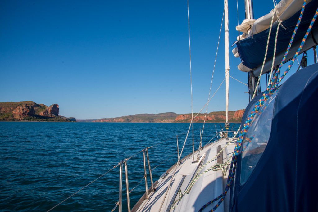
A rough and lumpy sea greeted us as we untied from our mooring and began our passage south from Broome. The big waves had us putting our life jackets on and I was feeling pretty crappy, tired and emotional. We sailed well, if uncomfortably, in the 20 to 25 knots winds, and as the day wore on the sea state improved while the winds dropped off so much that we turned the motor on. By the afternoon, it was quite fine and I was feeling a lot better.

Anchoring in the calm of Lagrange Bay, I cooked, cleaned and prepared for our upcoming overnight passage. Our time in Broome had been so fraught with difficulties that a lot of this had fallen to the wayside. I even had a much needed shower. Unfortunately the swell rolled in overnight, so after another fairly sleepless night we were up and sailing south by 7am.

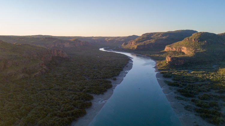
Dampier was a full two days and two nights sail to the south. We were prepared to do overnight passages, yet we had also marked out a few anchorages that we could stop at if needed. Of consideration was the very busy shipping channel filled with humongous ships that we would have to cross over as we passed Port Hedland. It would definitely be preferable to do this in daylight hours.

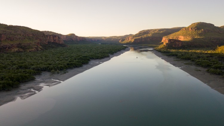
After sailing for the first five hours, we then motor sailed for the rest of the day in the inconsistent winds. Thankfully the lumpy seas had turned following, and in the late afternoon we decided to continue on through the night rather than detour in to an anchorage in the choppy seas. It was cold and rough during our overnight watches, and while it wasn’t overly fun, I felt ok.

We slept throughout the following day alternating with each other in one to two hour shifts, as the seas calmed and we sailed along nicely. Deciding to keep on for Dampier we reverted back to our four hour overnight watches. The second night was a lot more pleasant and at 2.15 am I put the sails back out and turned the motor off. It is definitely a much nicer experience without the constant hum of the engine, and it also makes it a lot easier for the other person to sleep properly.

Sun setting on the second night of our passage to Dampier.

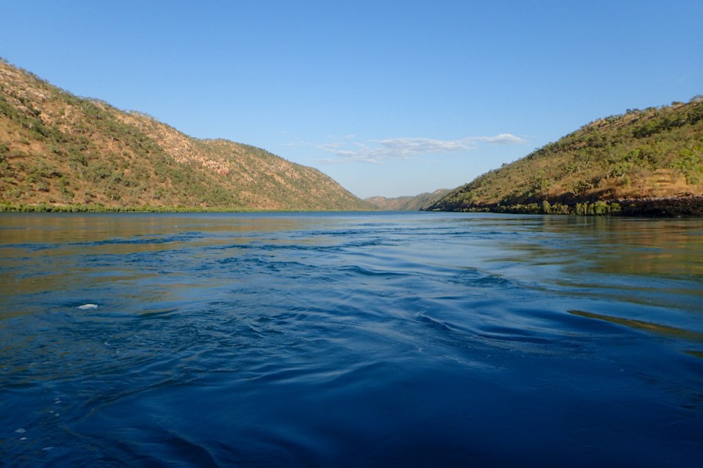
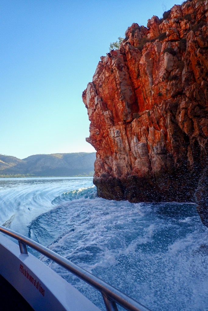
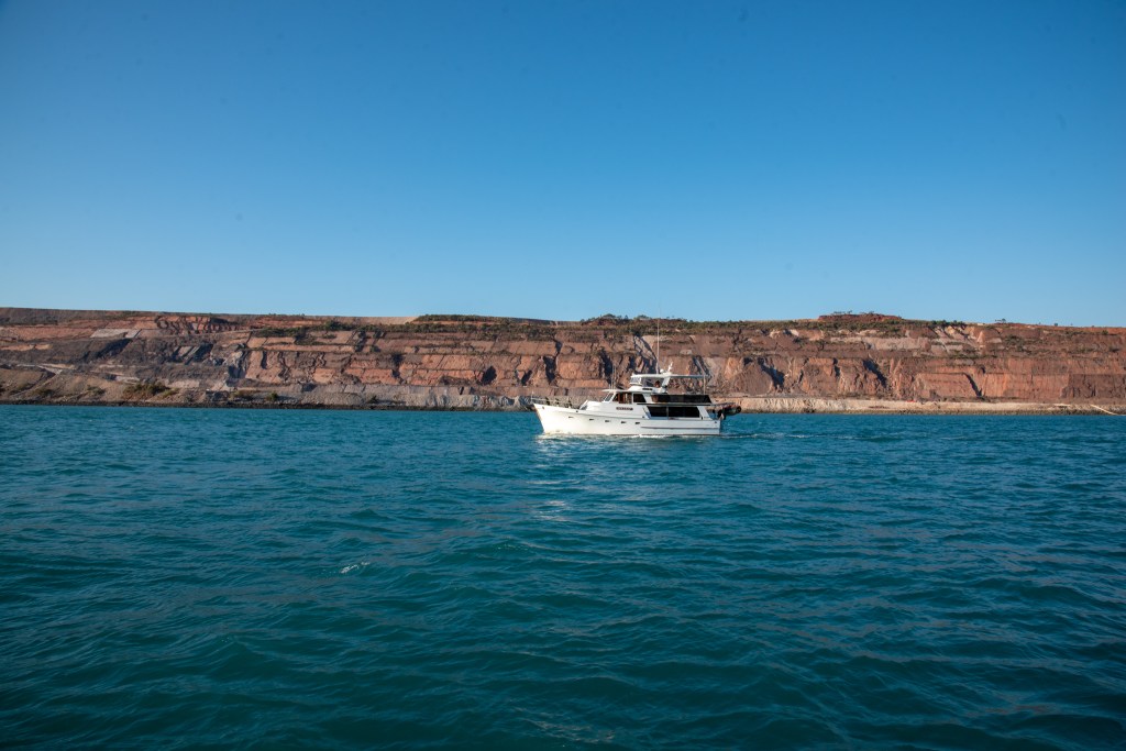
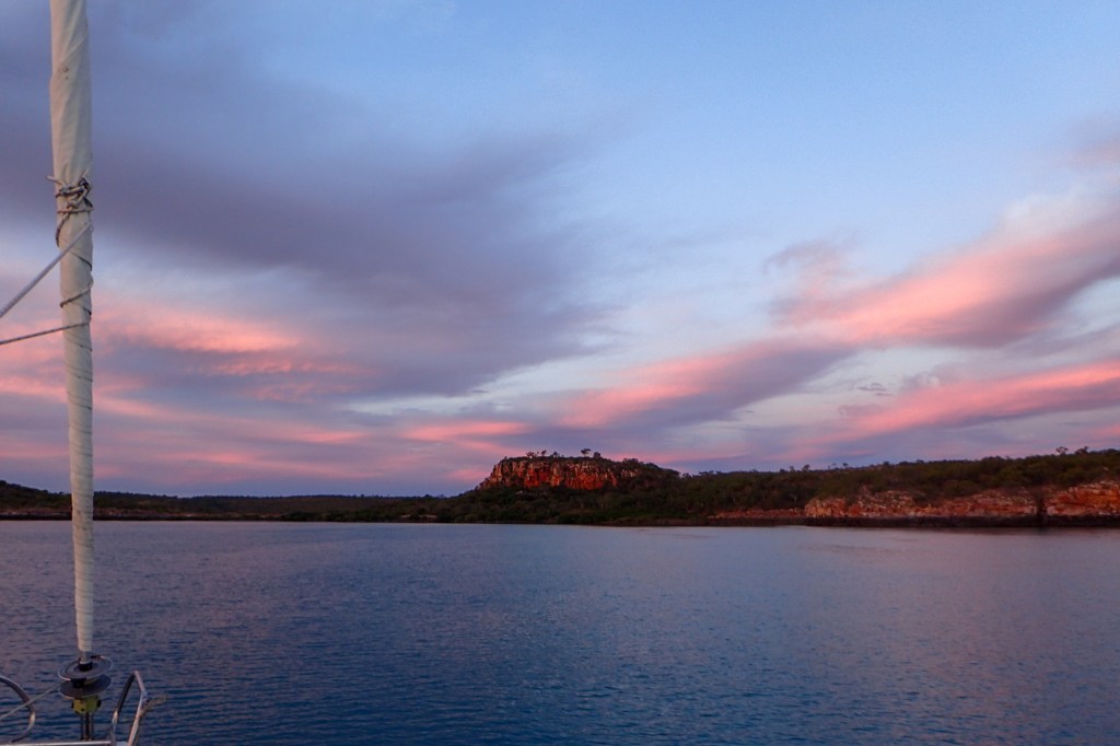
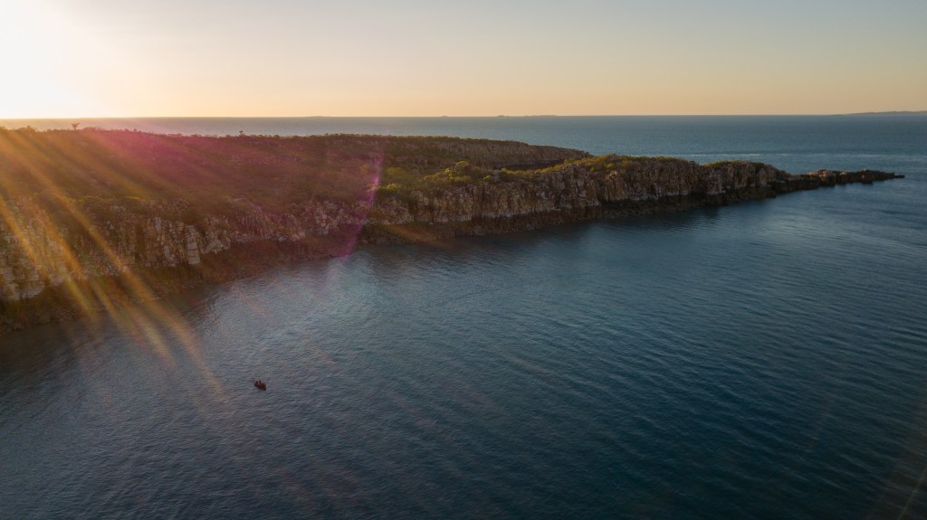
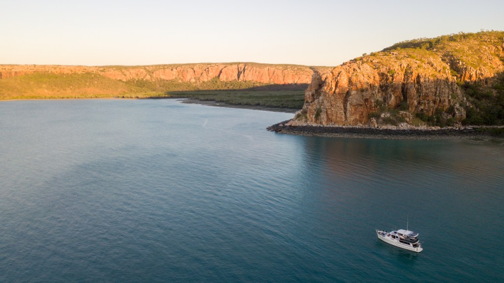
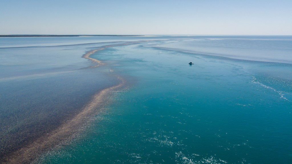
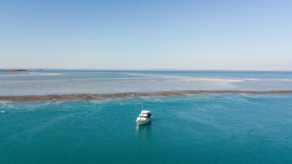
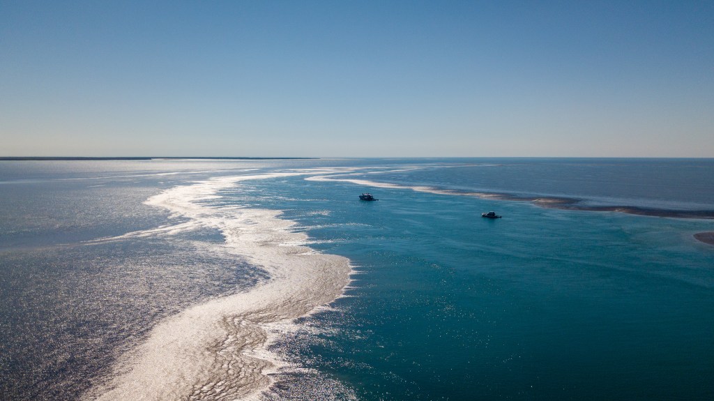
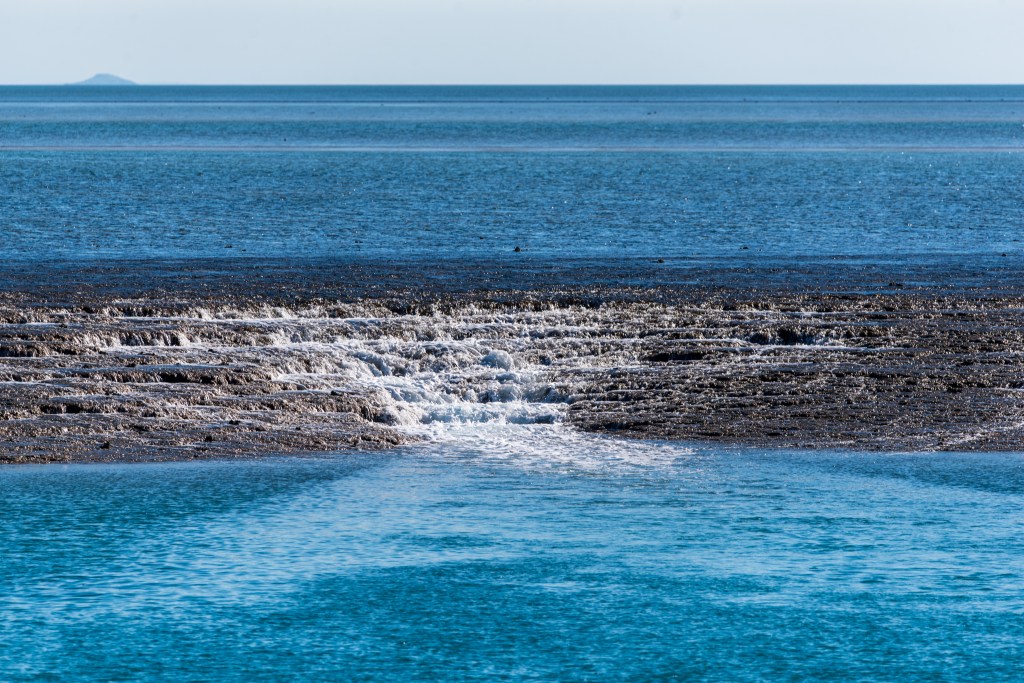
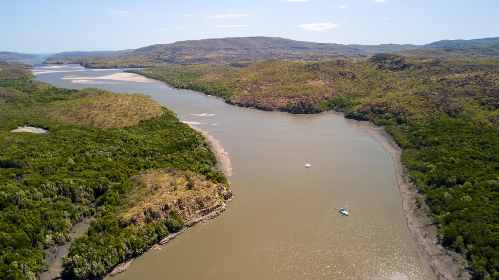
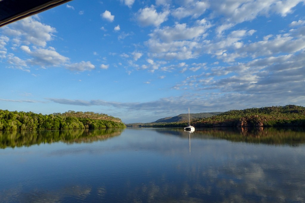
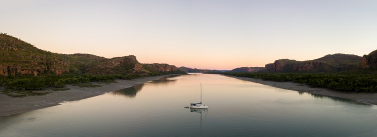
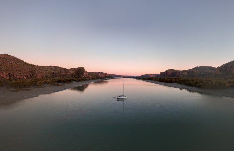
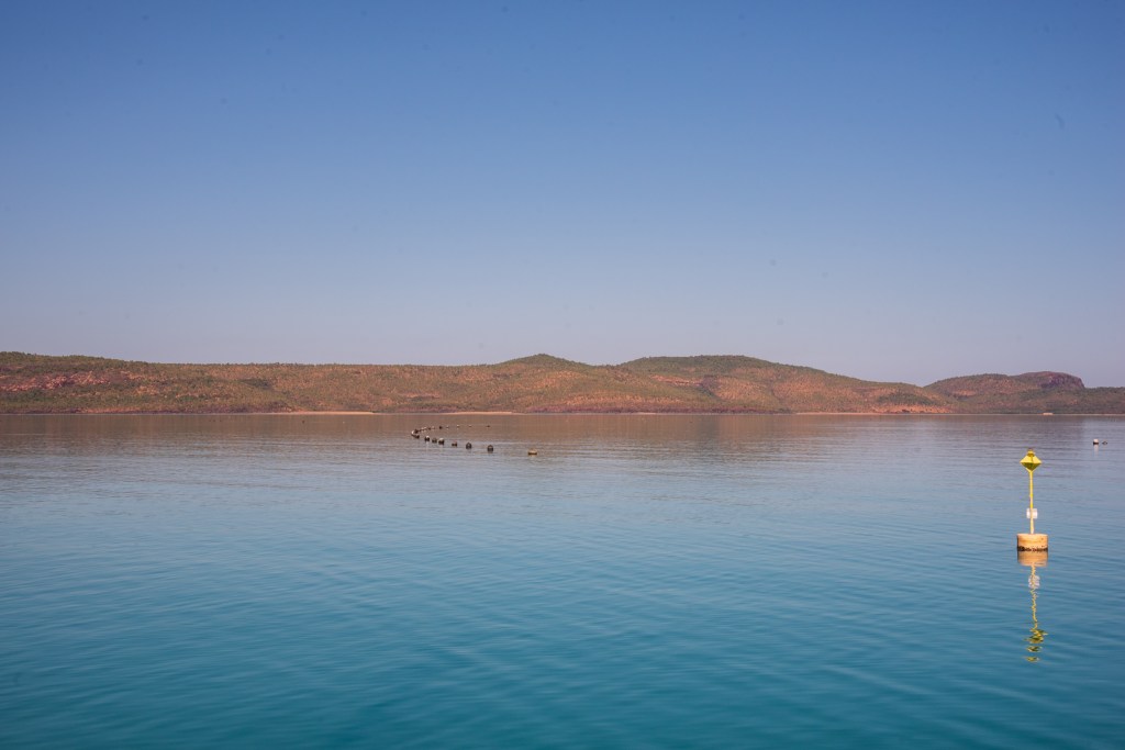
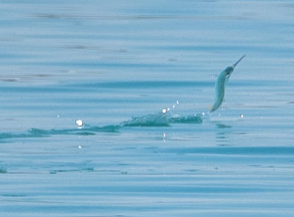
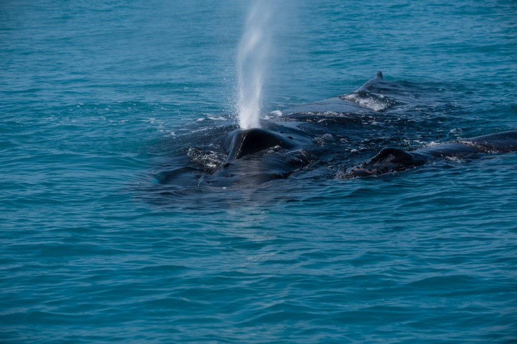
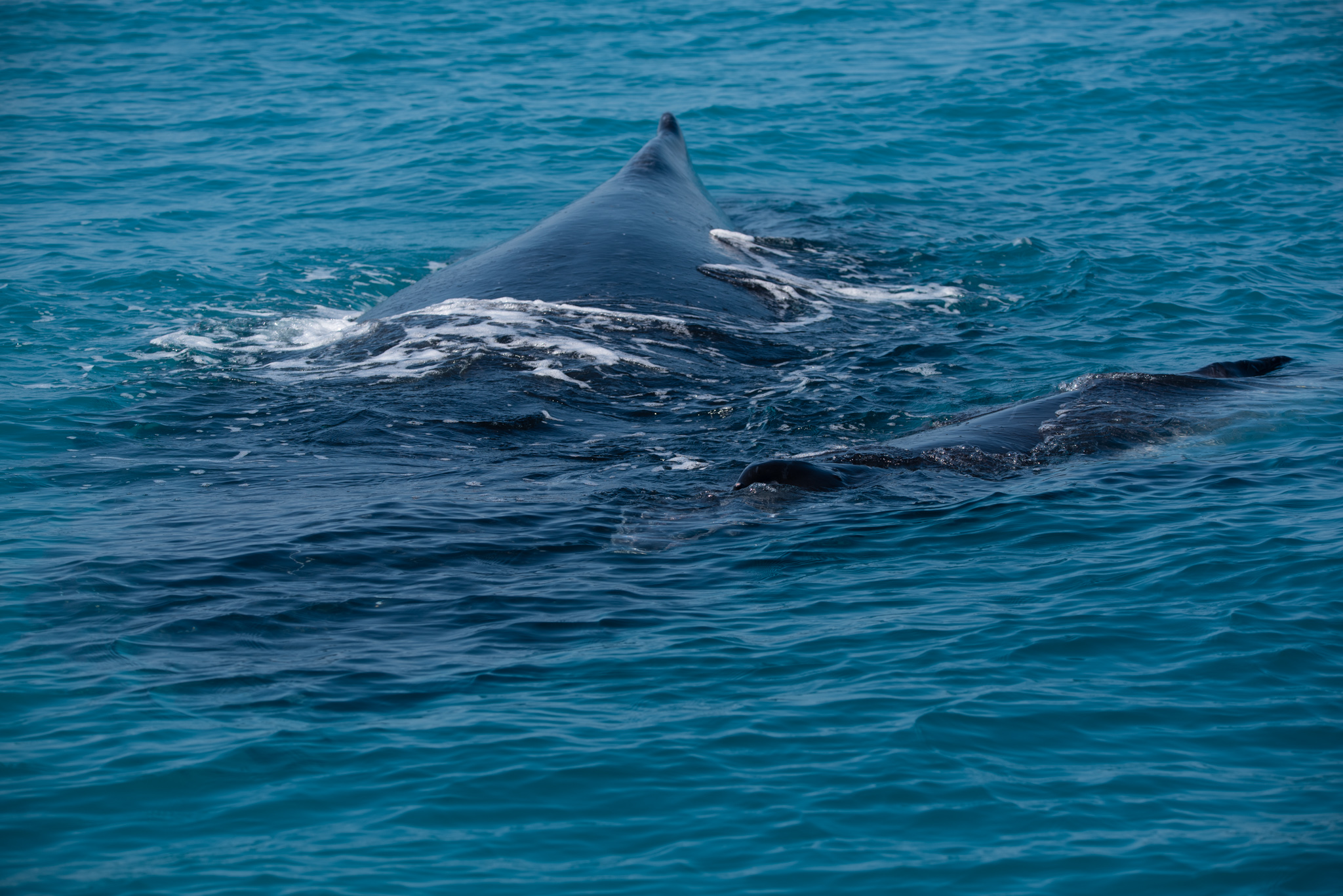
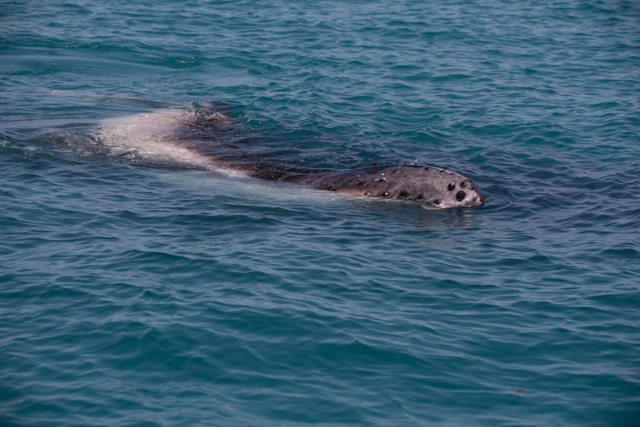
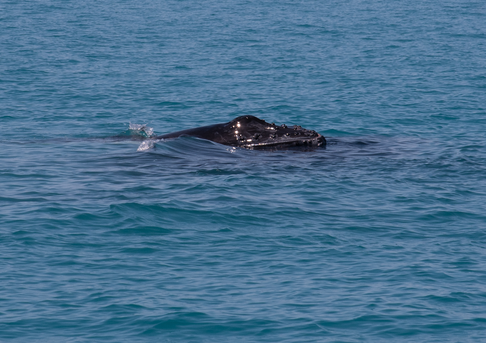
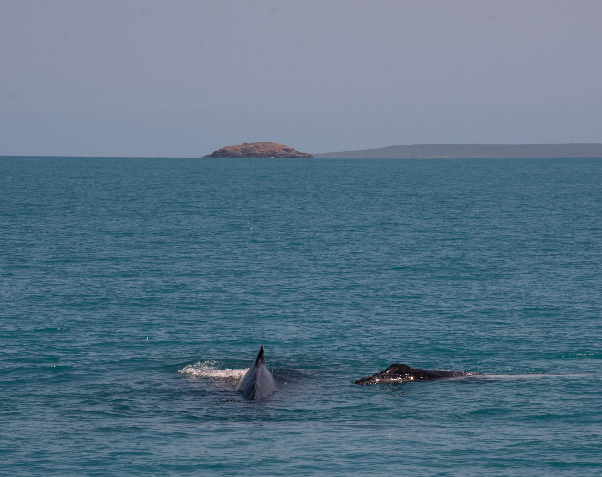
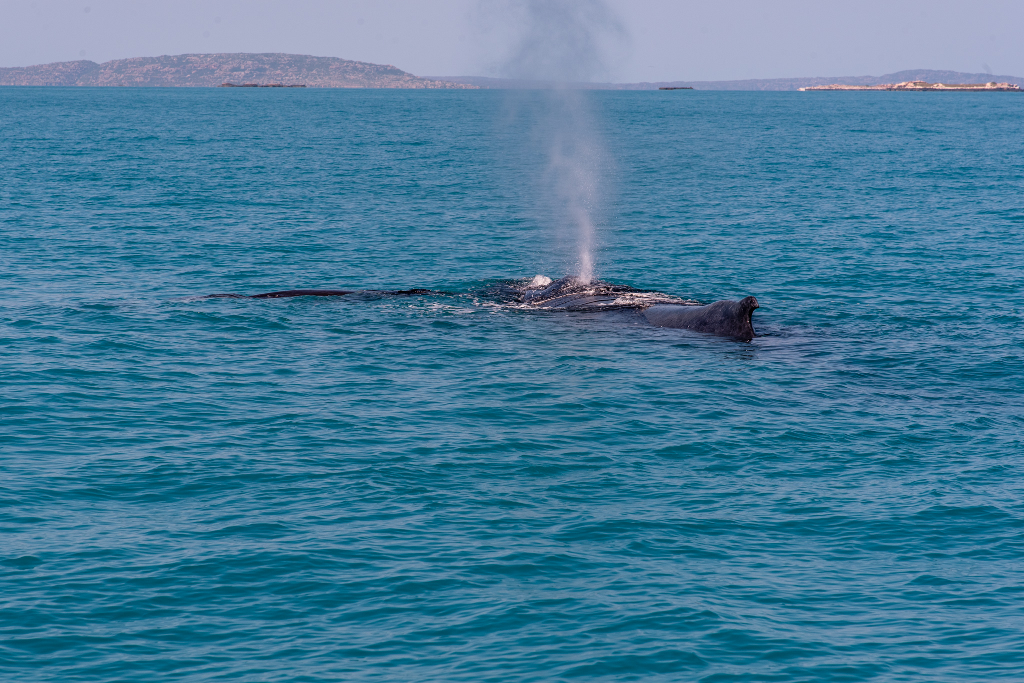
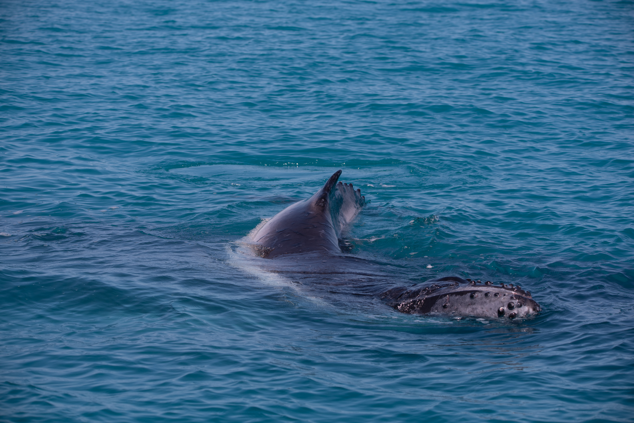
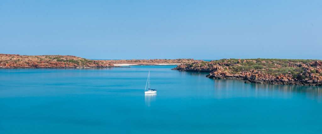
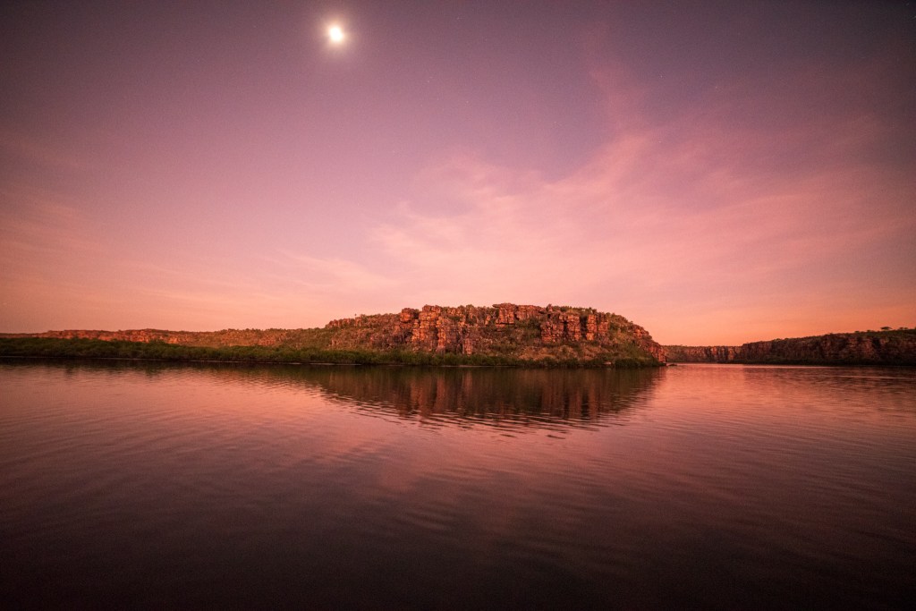
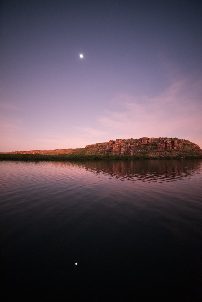
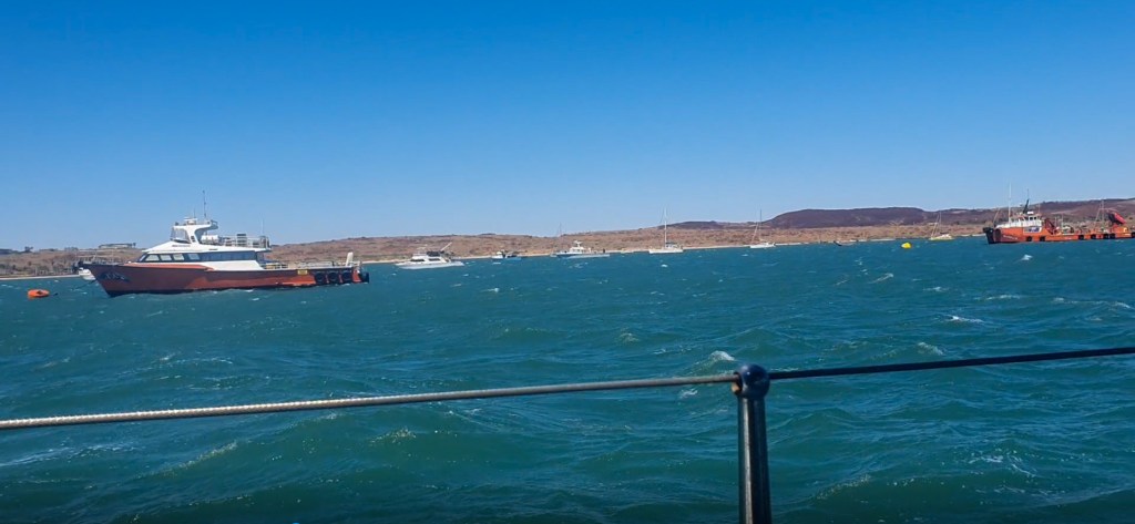
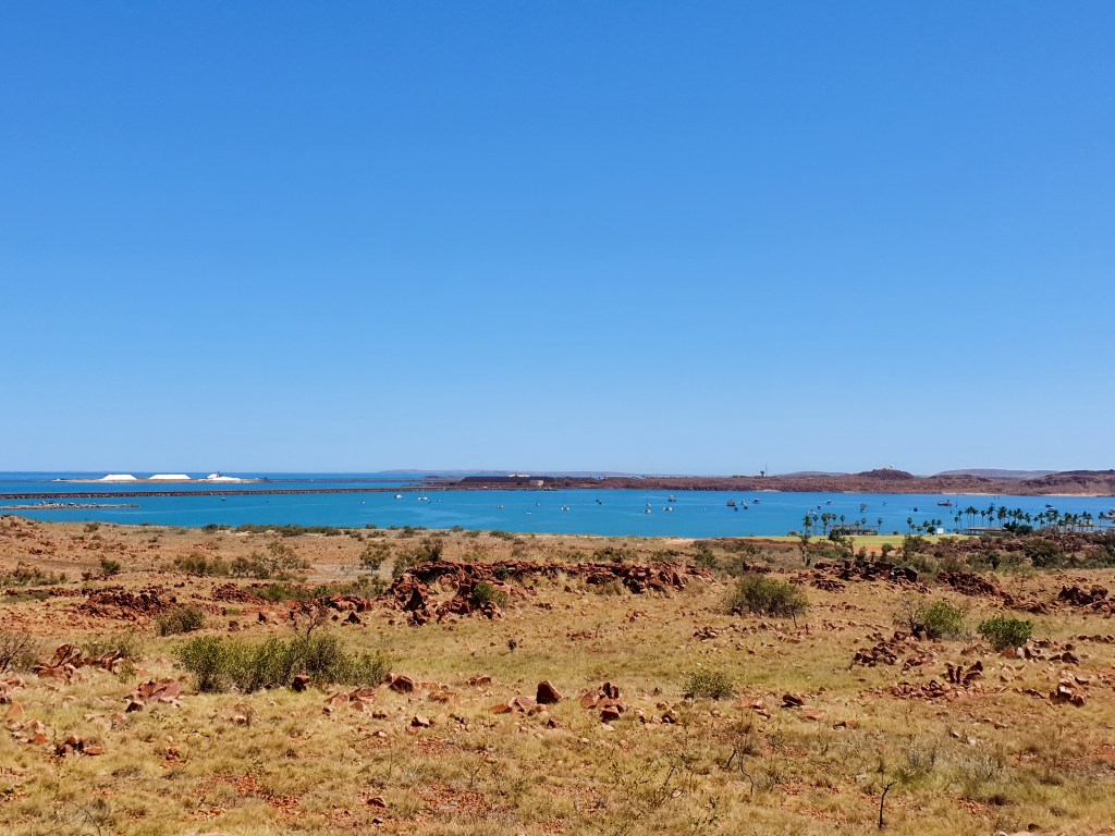
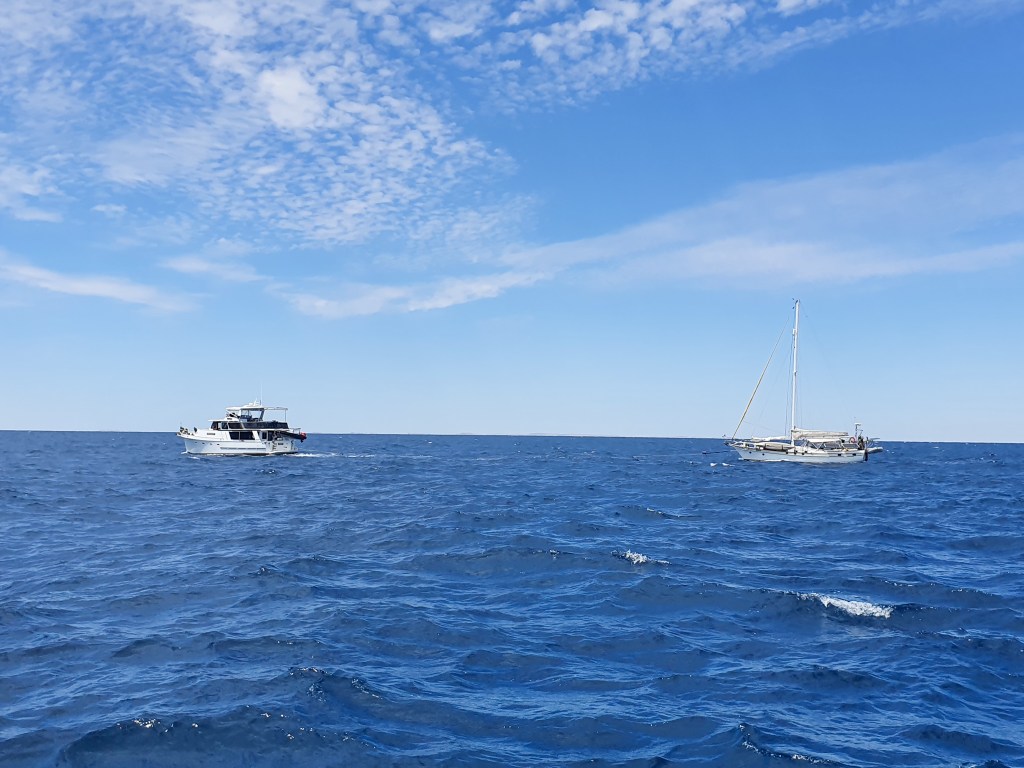
When I woke up at 6 am, we were approaching Dampier and the myriad of channels through Mermaid Sound that leads into the anchorage at Hampton Harbour. The wind had picked up strongly, and we dropped the sail before Matt headed back to bed and I motored us through the maze of channels. I couldn’t believe my eyes when I saw a humpback whale swimming right past some of the channel markers in the busy harbour.

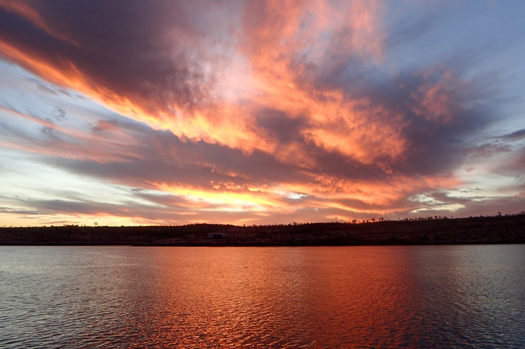
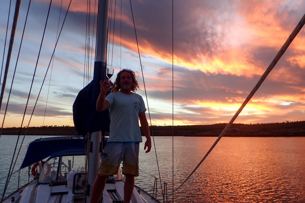
Matt was back at the helm to drive us into the very, very crowded Hampton Harbour. Carefully weaving his way through a multitude of boats on moorings and at anchor, we finally found a safe space and dropped our own pick. Finally, we could take a breath. We had been on the go for 50 hours since leaving Lagrange Bay. It was time for a rest.

Anchored in choppy waters in the crowded Hampton Harbour

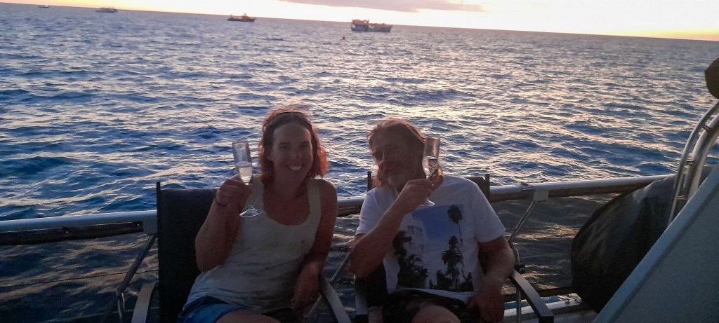
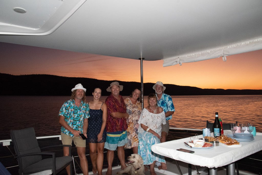
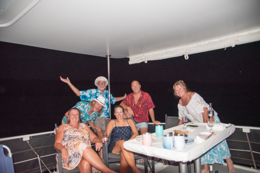
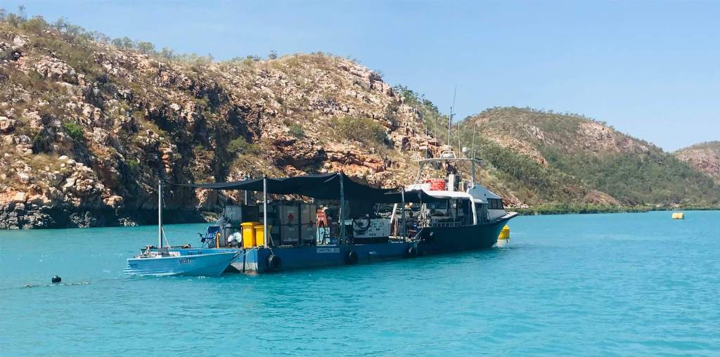
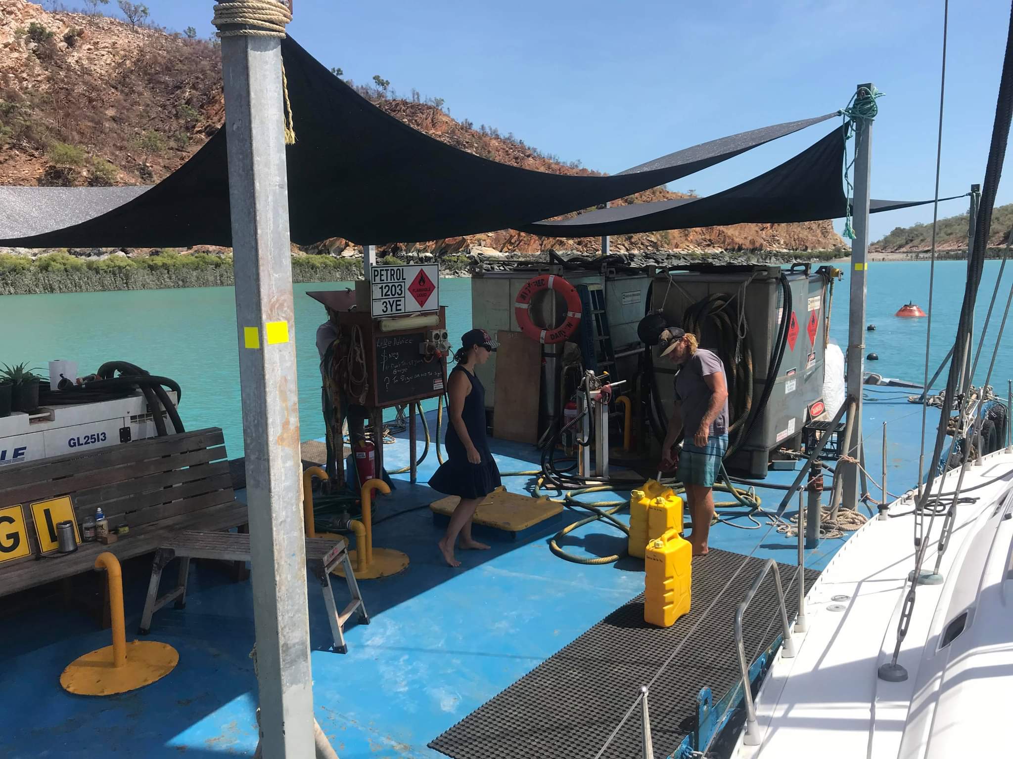
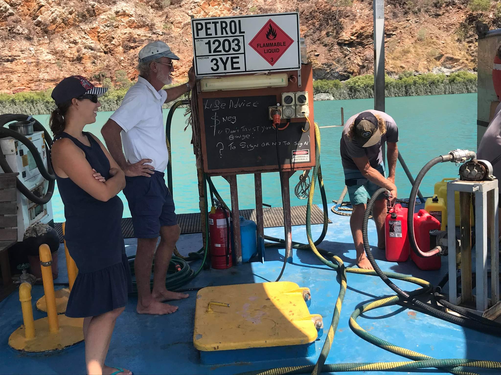
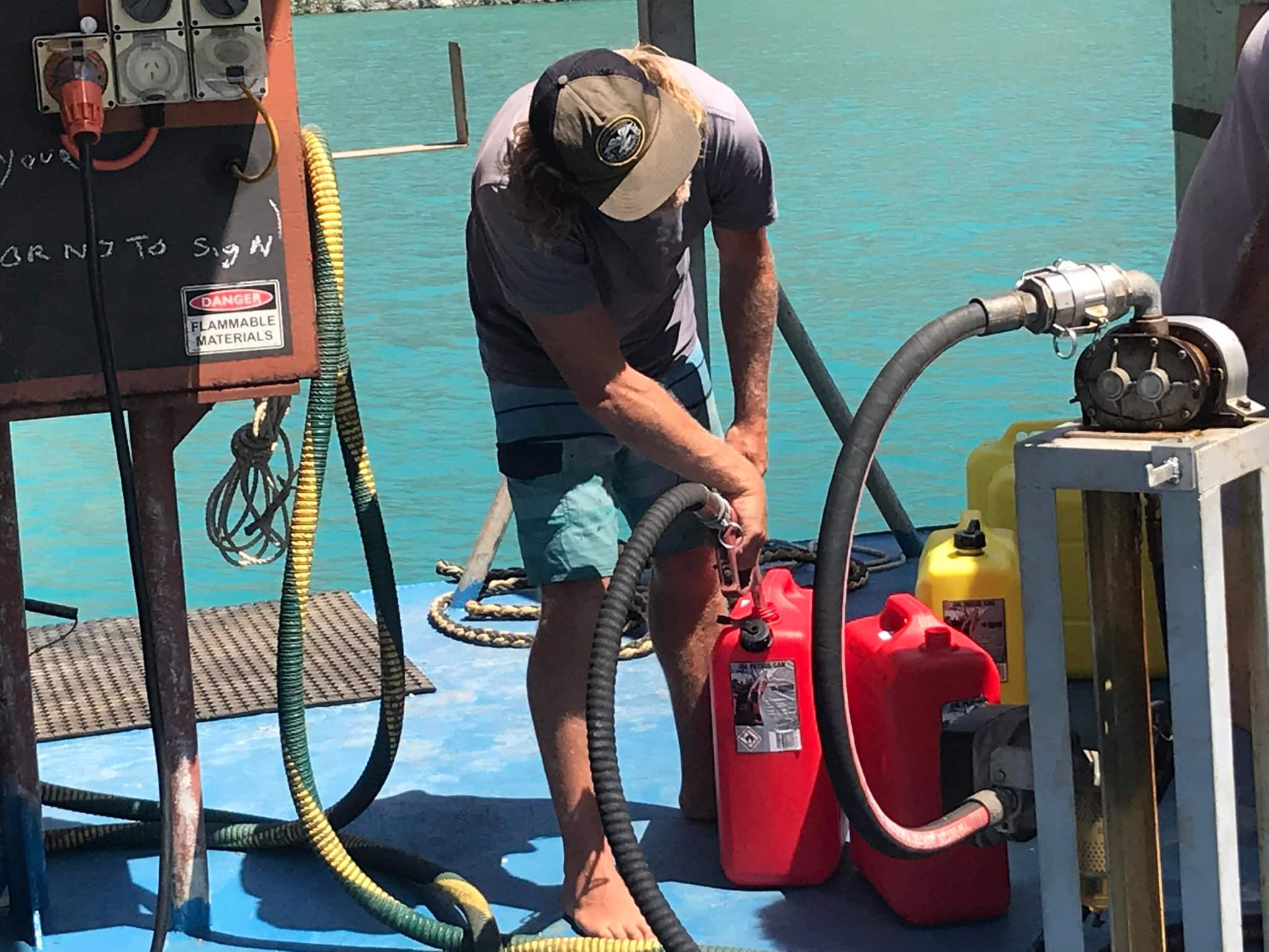
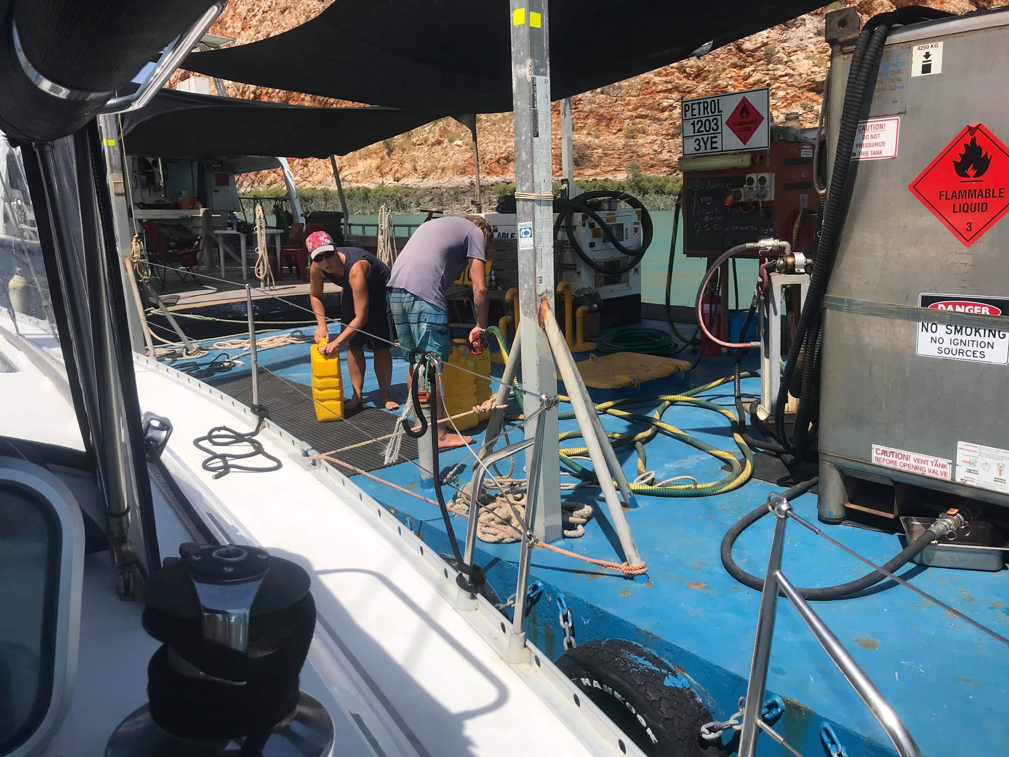
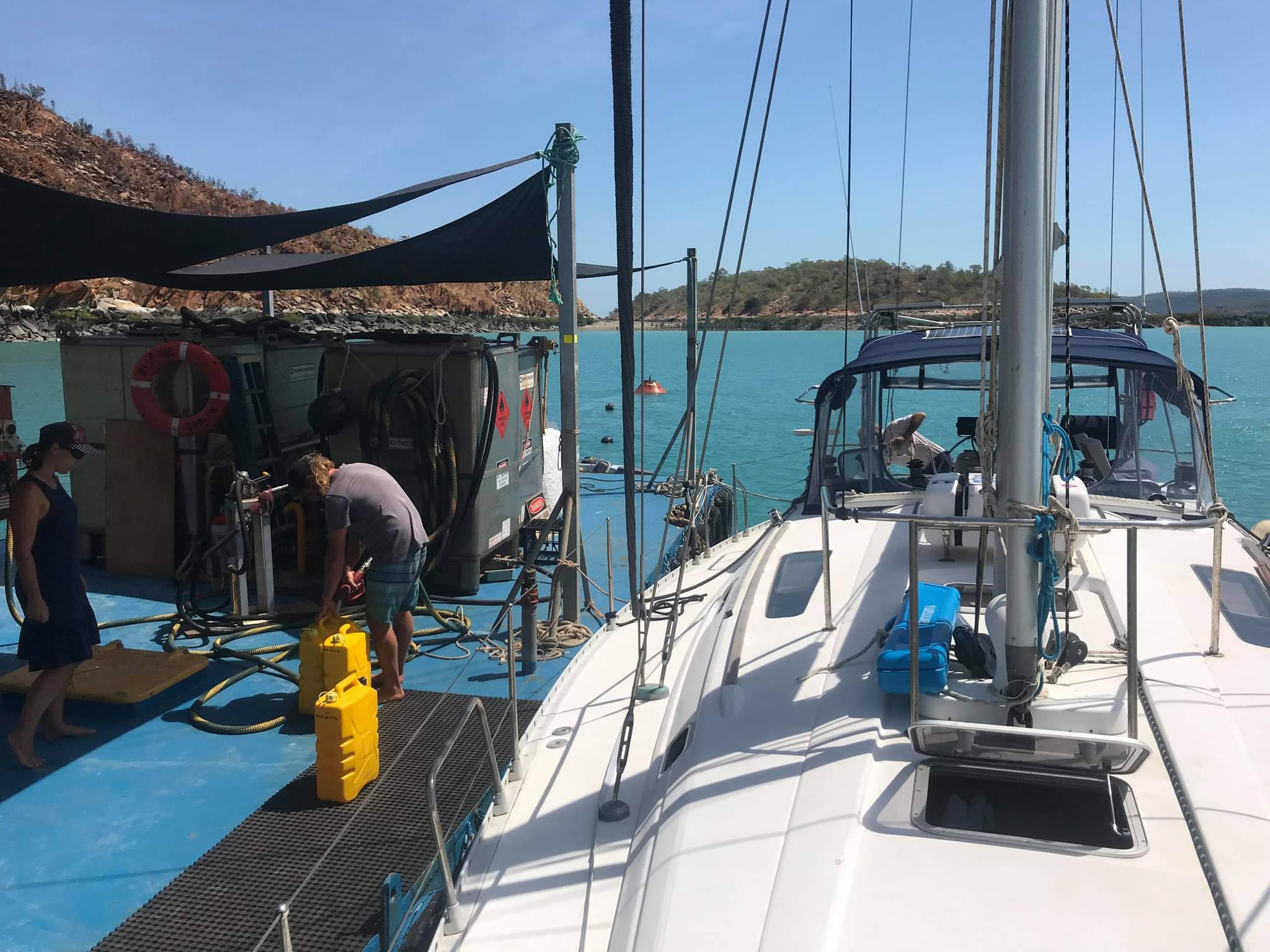
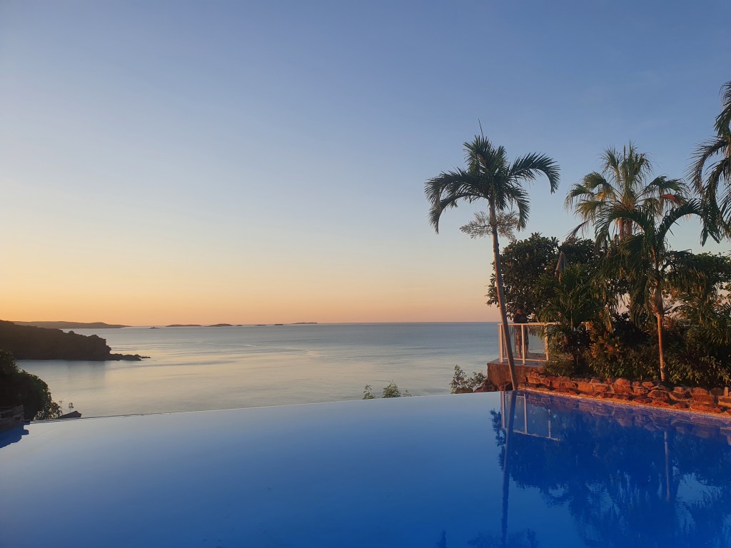
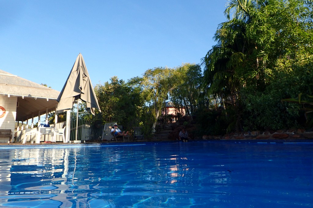
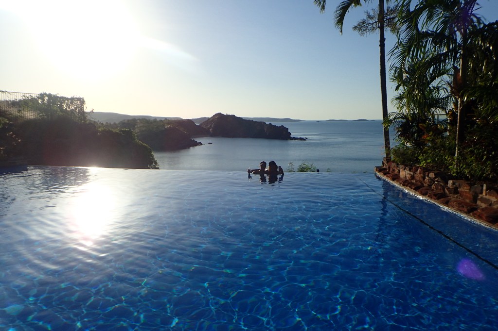
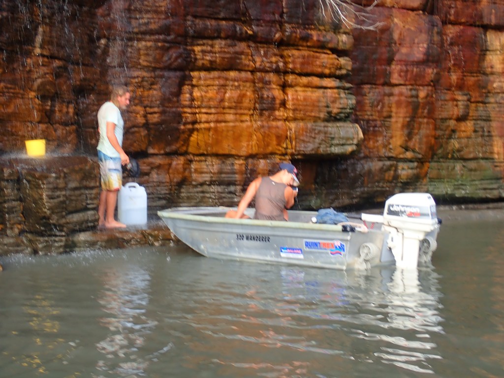
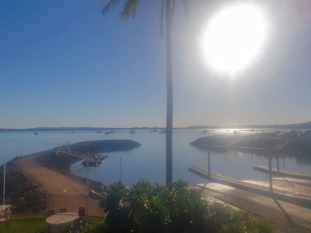
We spent four nights anchored in Hampton Harbour at the little mining town of Dampier. Over the next few days we rested, caught up on sleep and stretched our legs, walking all over the tiny town. We made use of the Sailing Club facilities; luxuriating in a proper shower and topping up our water tank with jerries. We treated ourselves to dinner out at the Mermaid Hotel, had a breakfast at SOAK café and when Brian and Sandra arrived, we celebrated their anniversary with them at the lovely Hampton Harbour Boat and Sailing Club overlooking the bay.

View from the Hampton Harbour Boat and Sailing Club
Low tide, Hampton Harbour

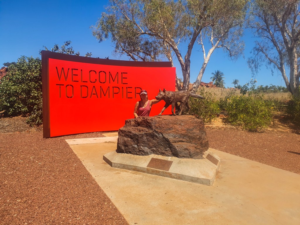
Dampier’s main claim to fame is as the home of ‘Red Dog,’ the kelpie who travelled all over Western Australia’s vast Pilbara region, becoming a mascot for the community and inspiring the movie by the same name. Of course we wandered out to his statue for a photo.

Red Dog memorial, Dampier

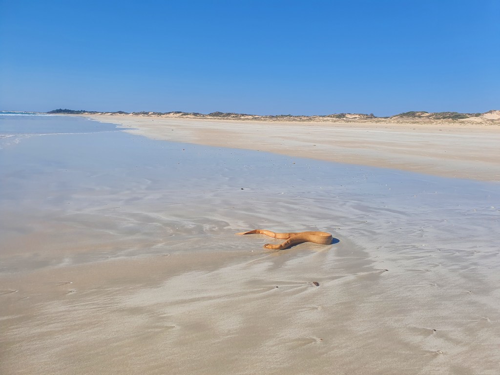
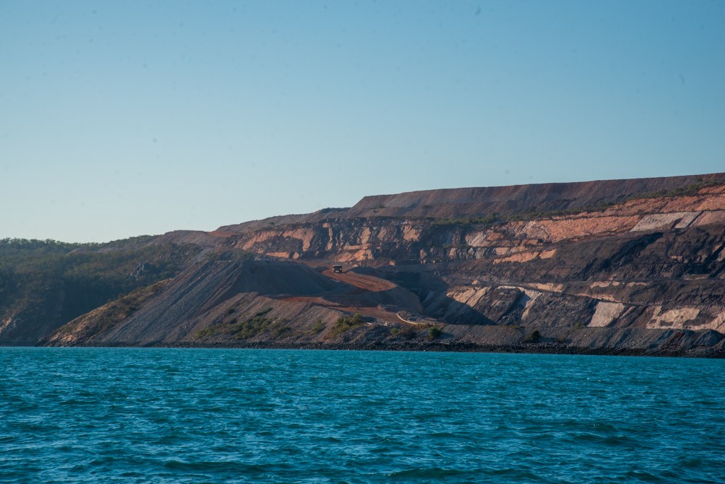
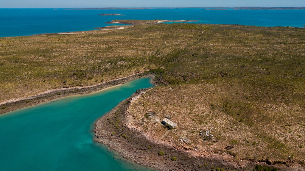
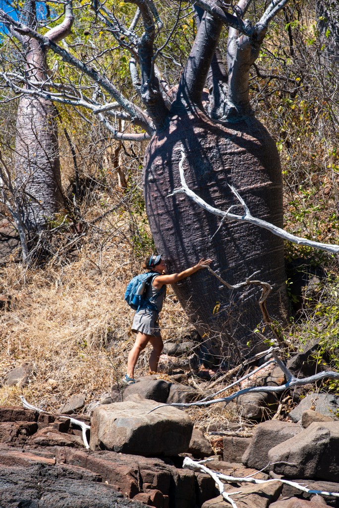
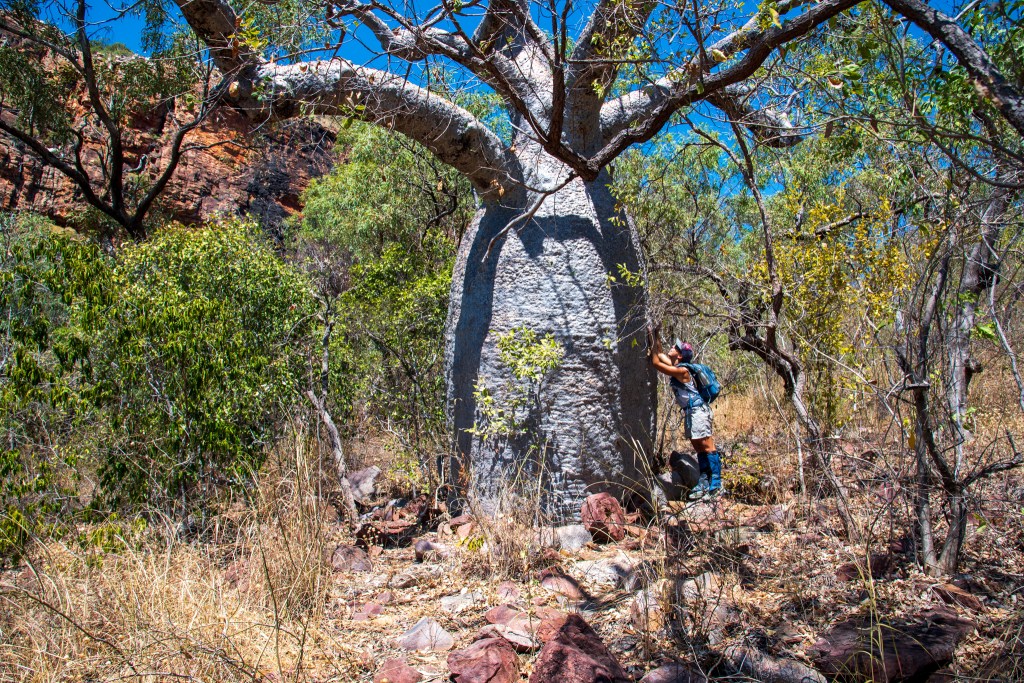
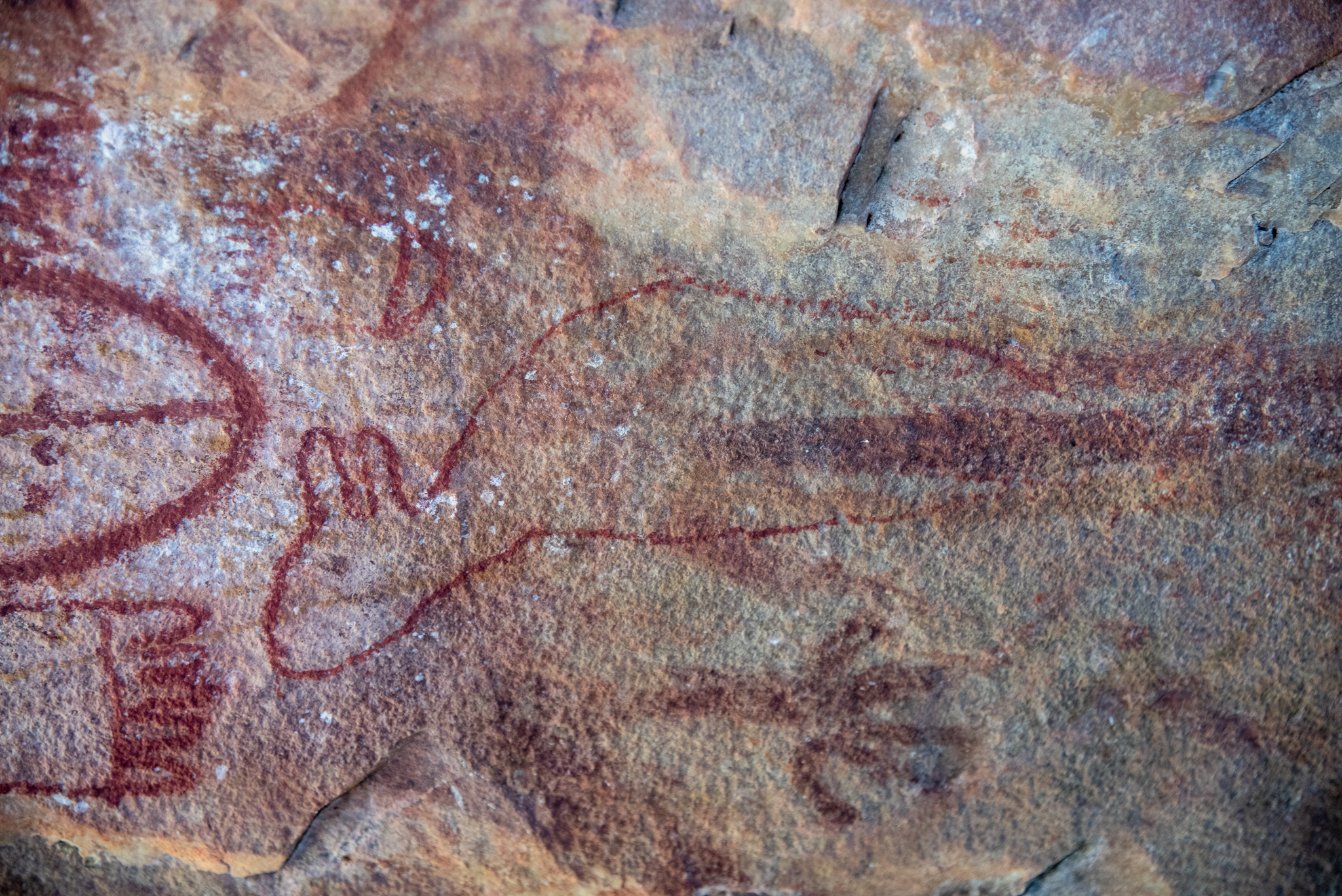
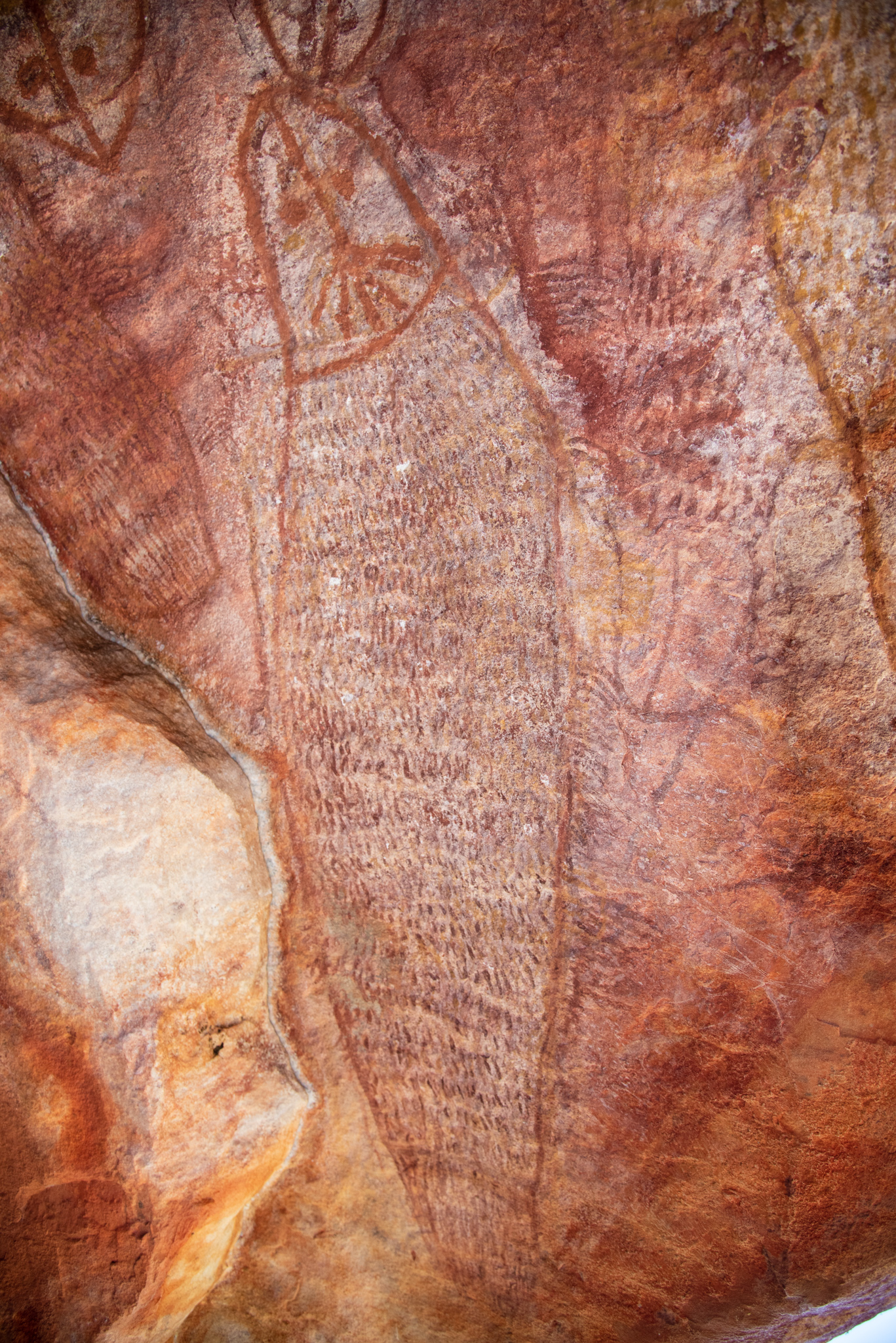
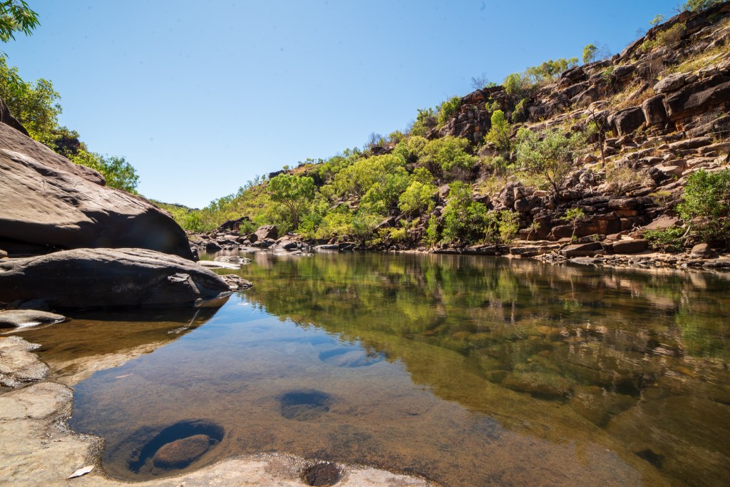
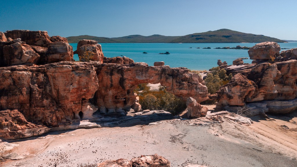
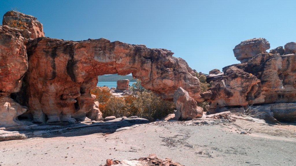
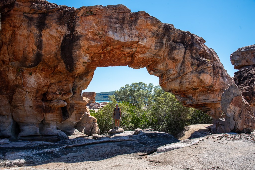
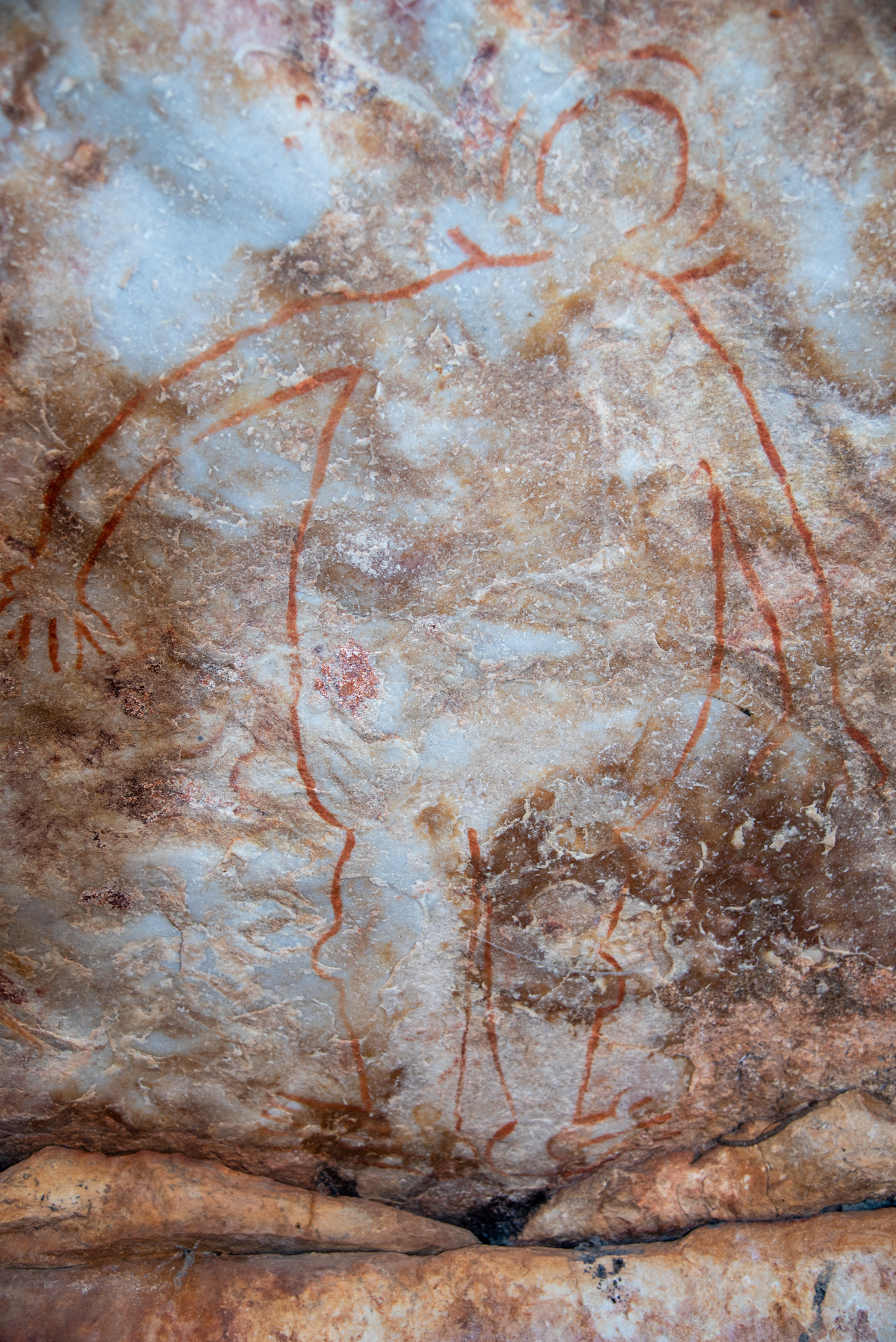
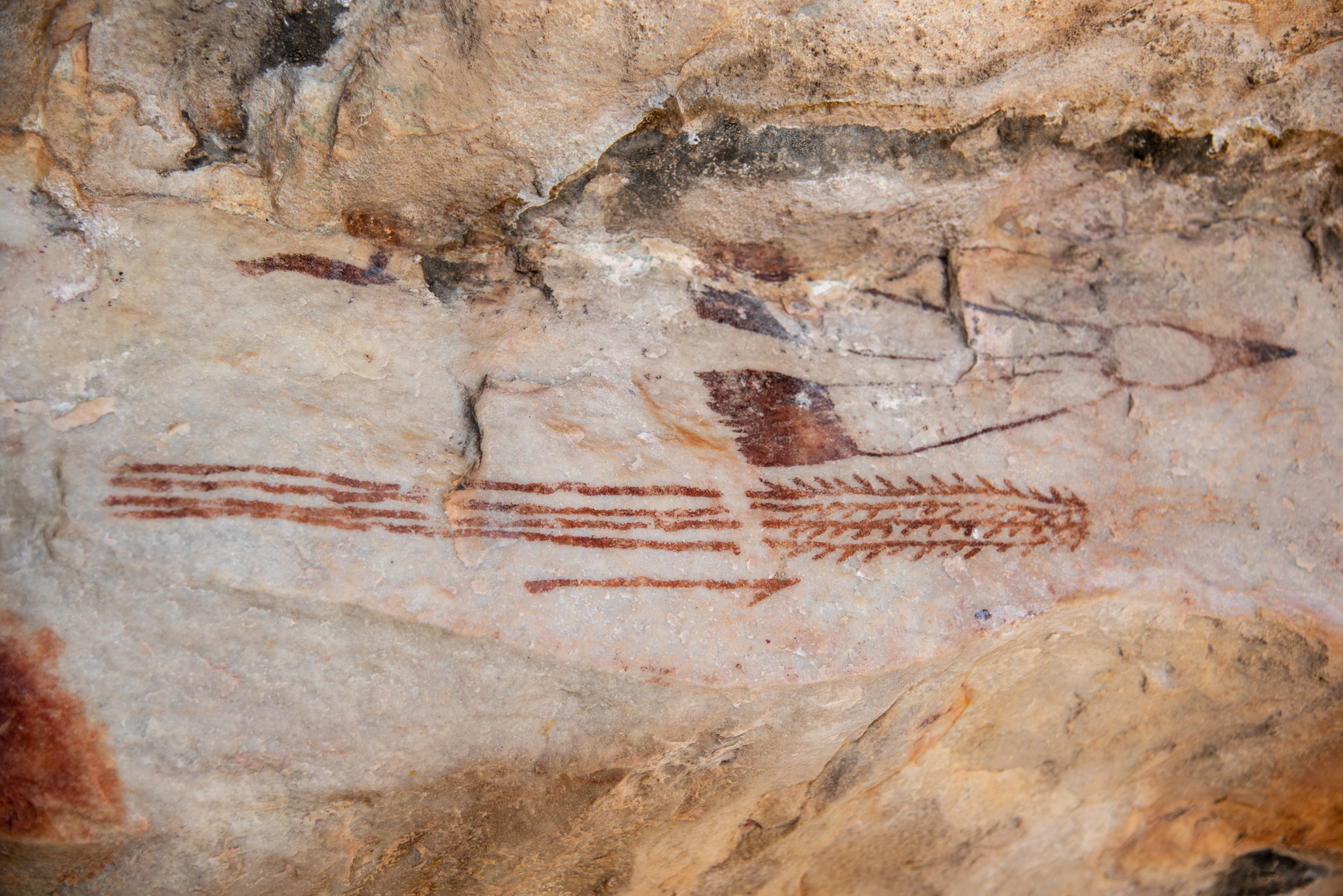
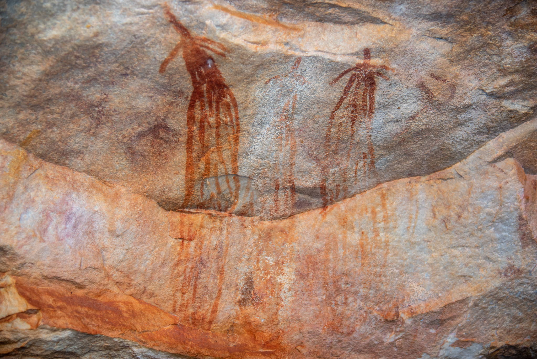
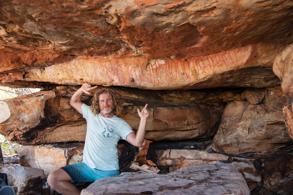
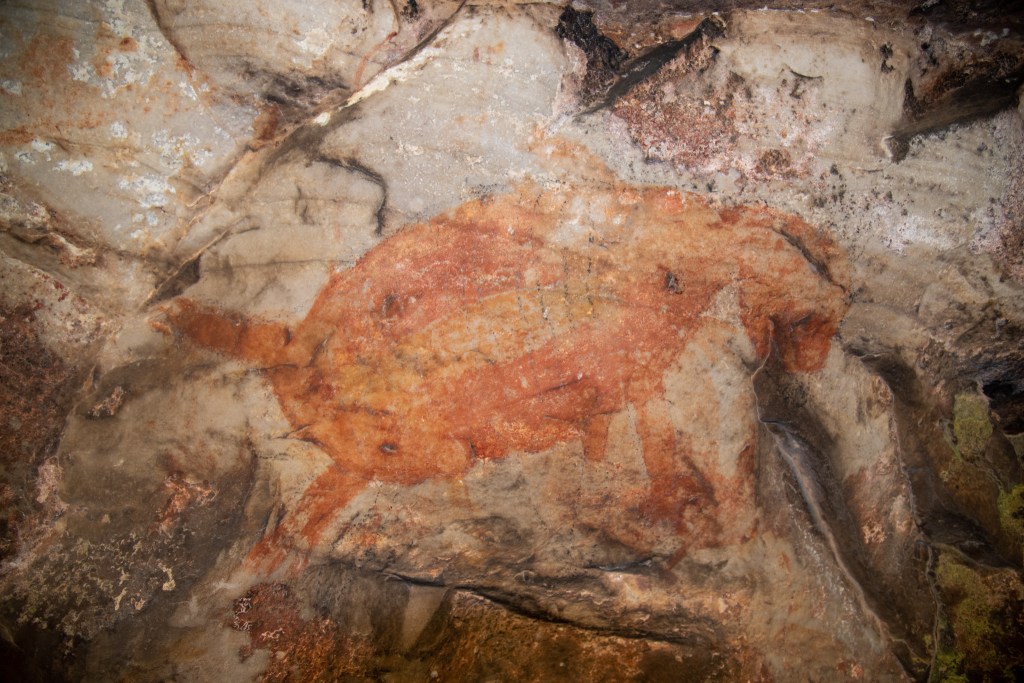
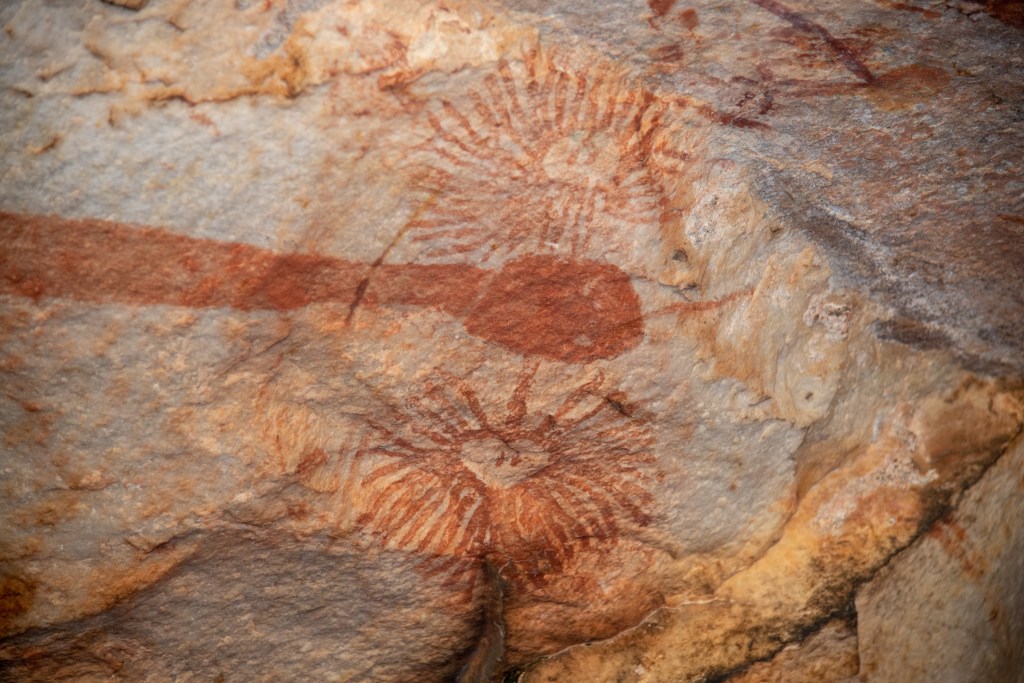
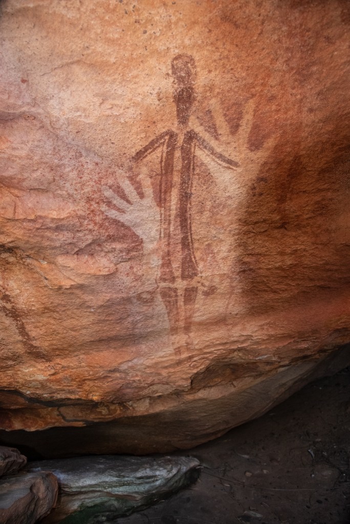
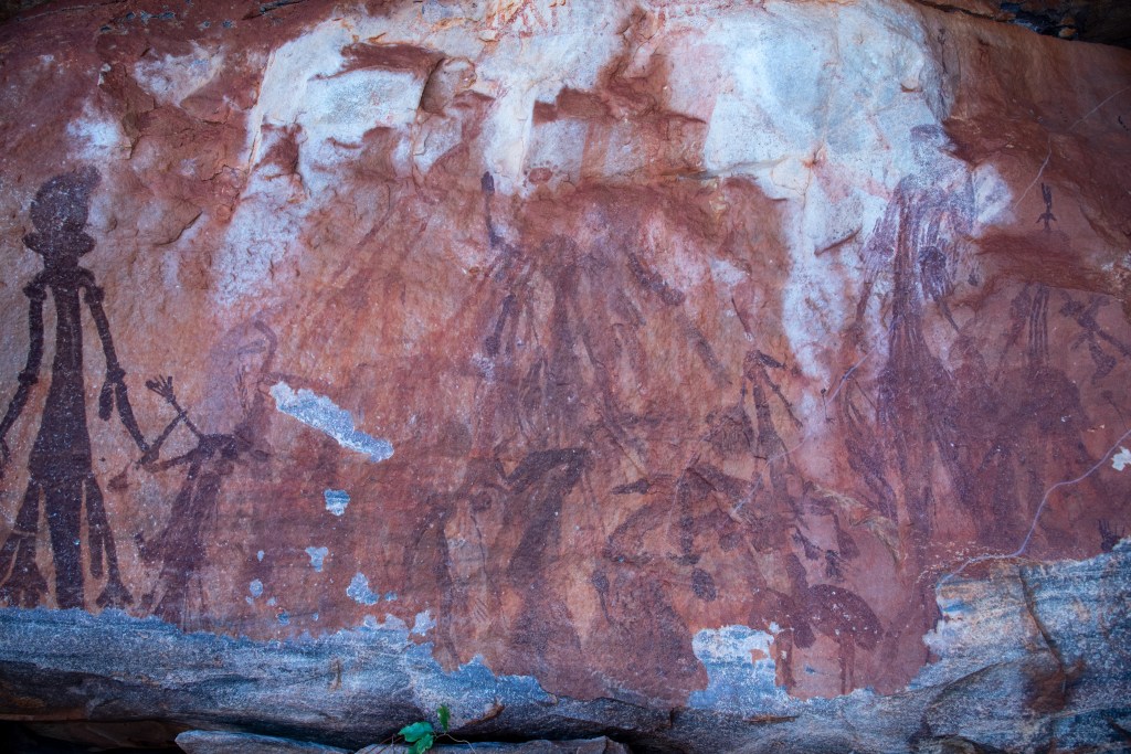
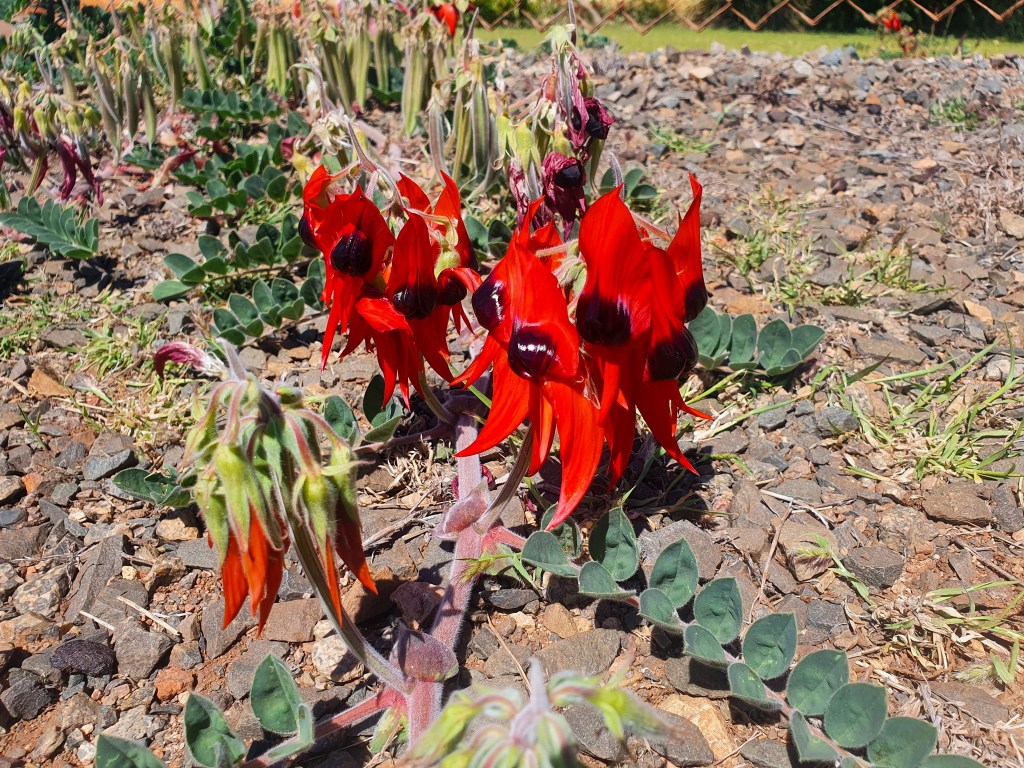
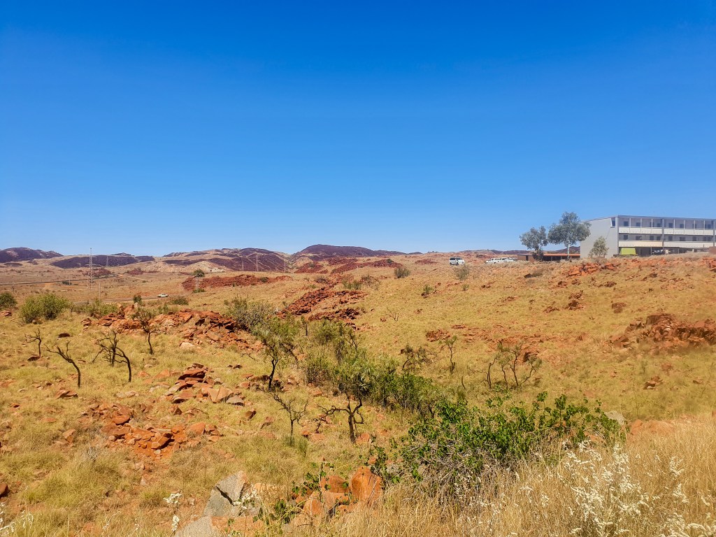
The town itself is tiny and it didn’t take us long to walk pretty much the length and breadth. The landscape is sparse and barren with huge lumpy piles of rocks everywhere, yet the gardens are lush and well maintained. Quite a juxtaposition. We found the streets clean, the public gardens neat and well tended, and there seemed to be a huge number of children’s playgrounds for such a small town. The beautiful wildflower Sturt’s Desert Pea was growing freely along the side of the roads. Fun fact: it is actually the floral emblem for South Australia and was first collected by William Dampier in 1699 on the nearby Rosemary Island.

Sturt’s Desert Pea, Dampier
Dampier
Dampier

We joined Brian and Sandra for an excursion into the neighbouring inland town of Karratha via bus, enjoying the tour as it wound its way along the local bus route. In Karratha we wandered through the small shopping centre, feeling overwhelmed by the hustle and bustle of the crowds.

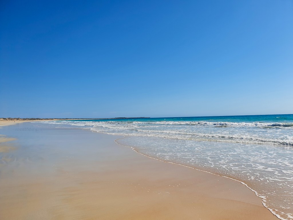
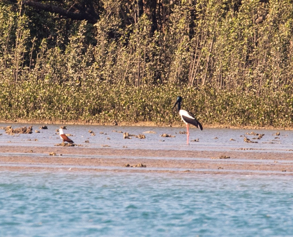
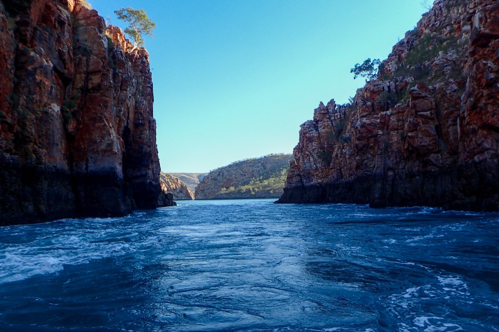
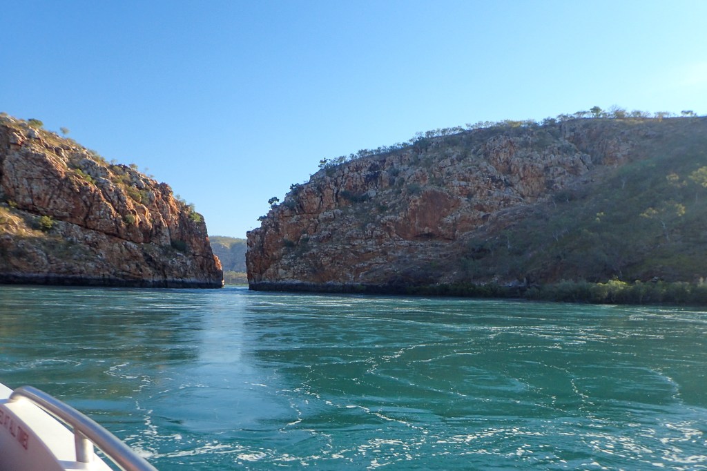
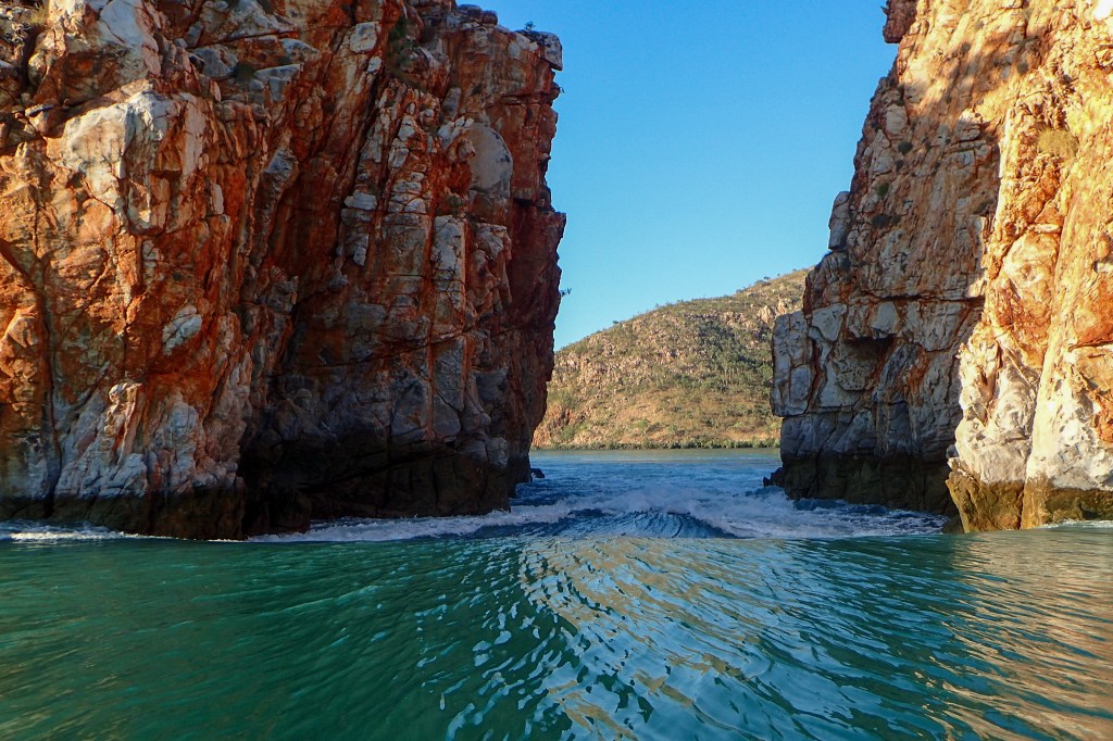
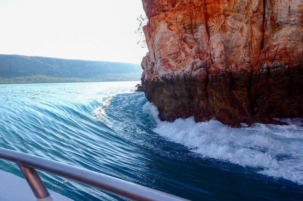
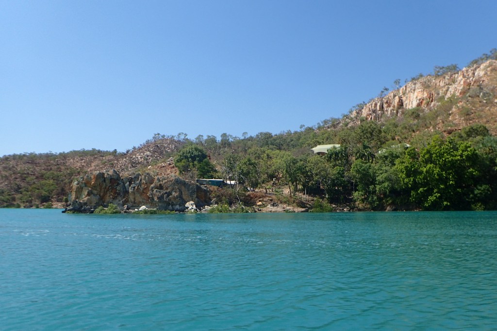
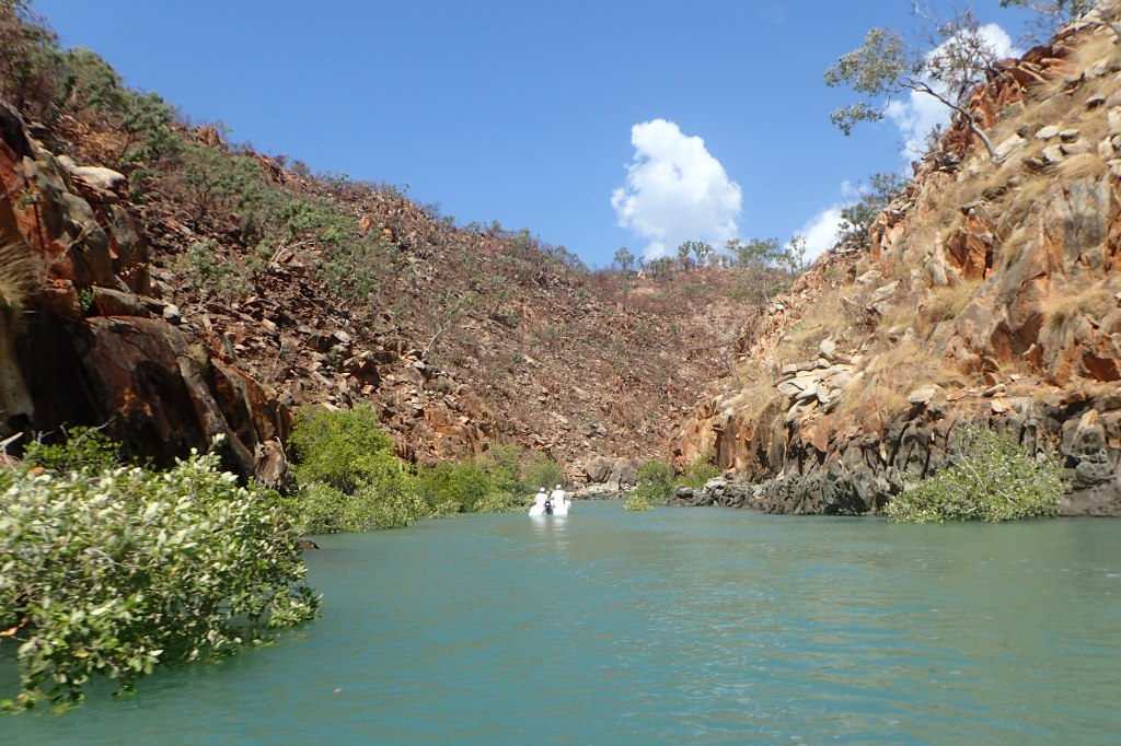
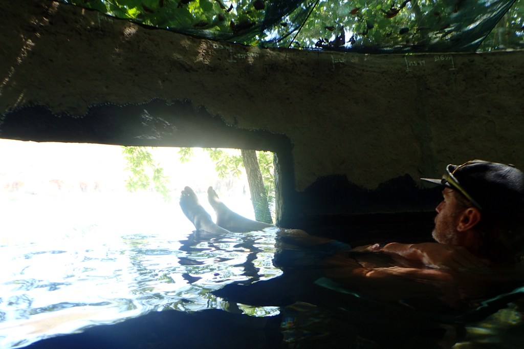
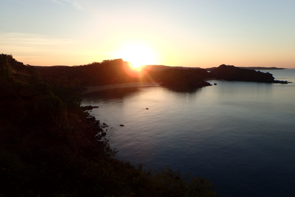
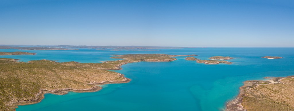
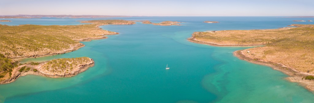
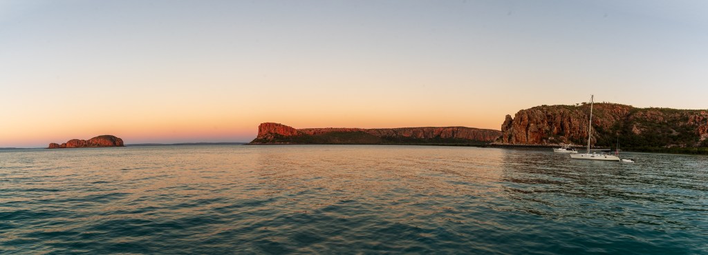
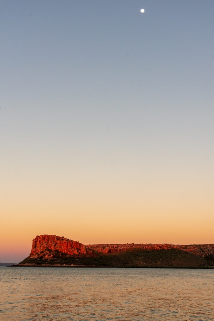
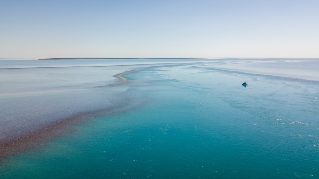
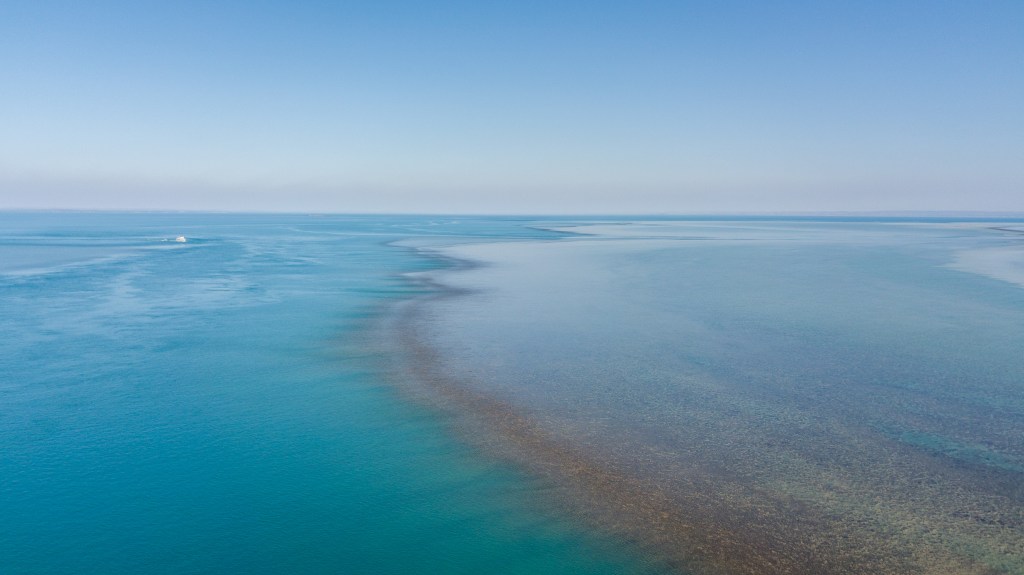
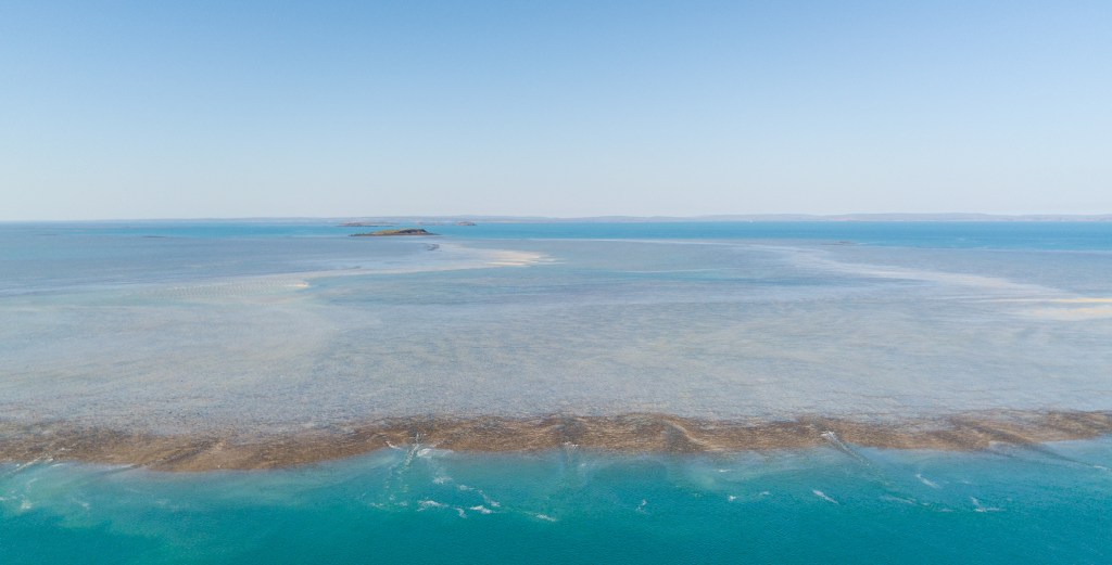
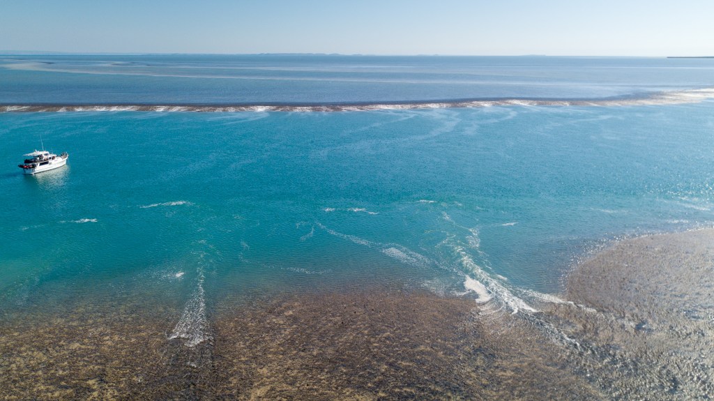
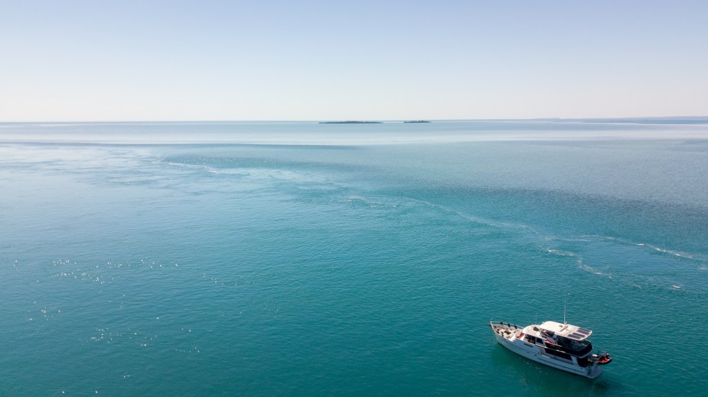
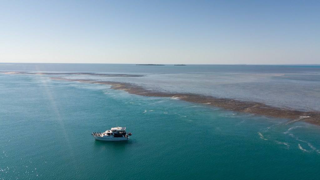
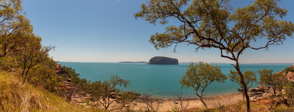
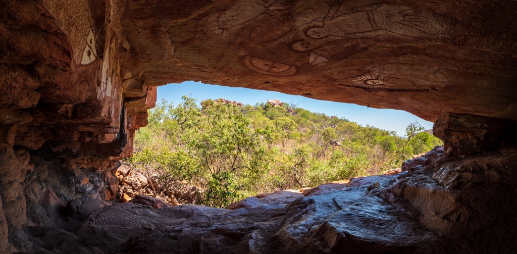
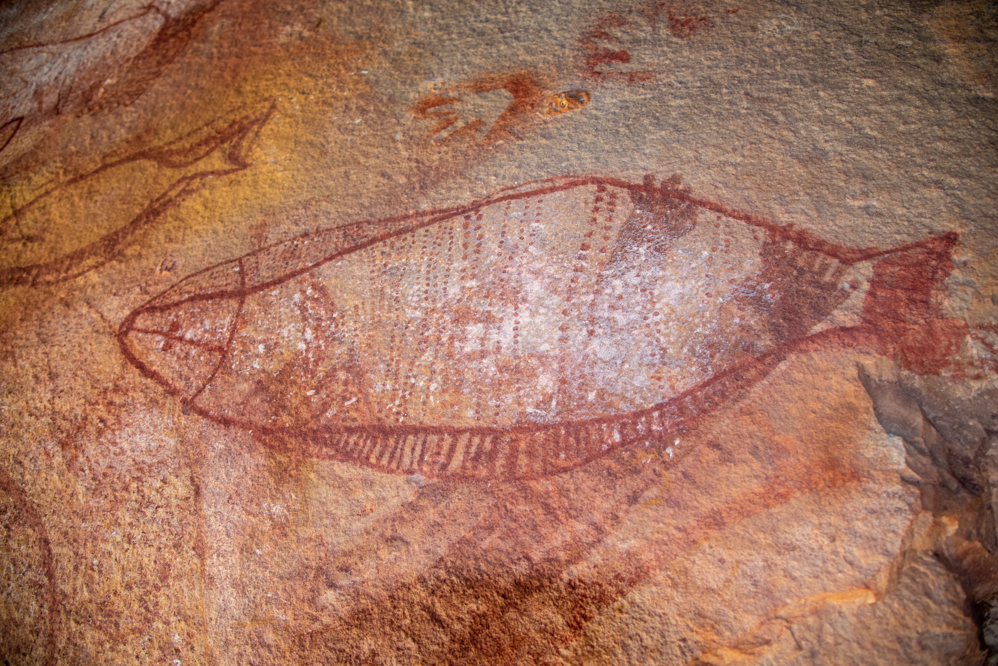
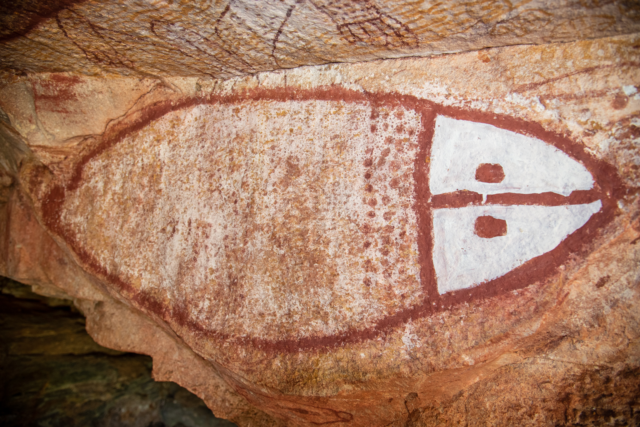
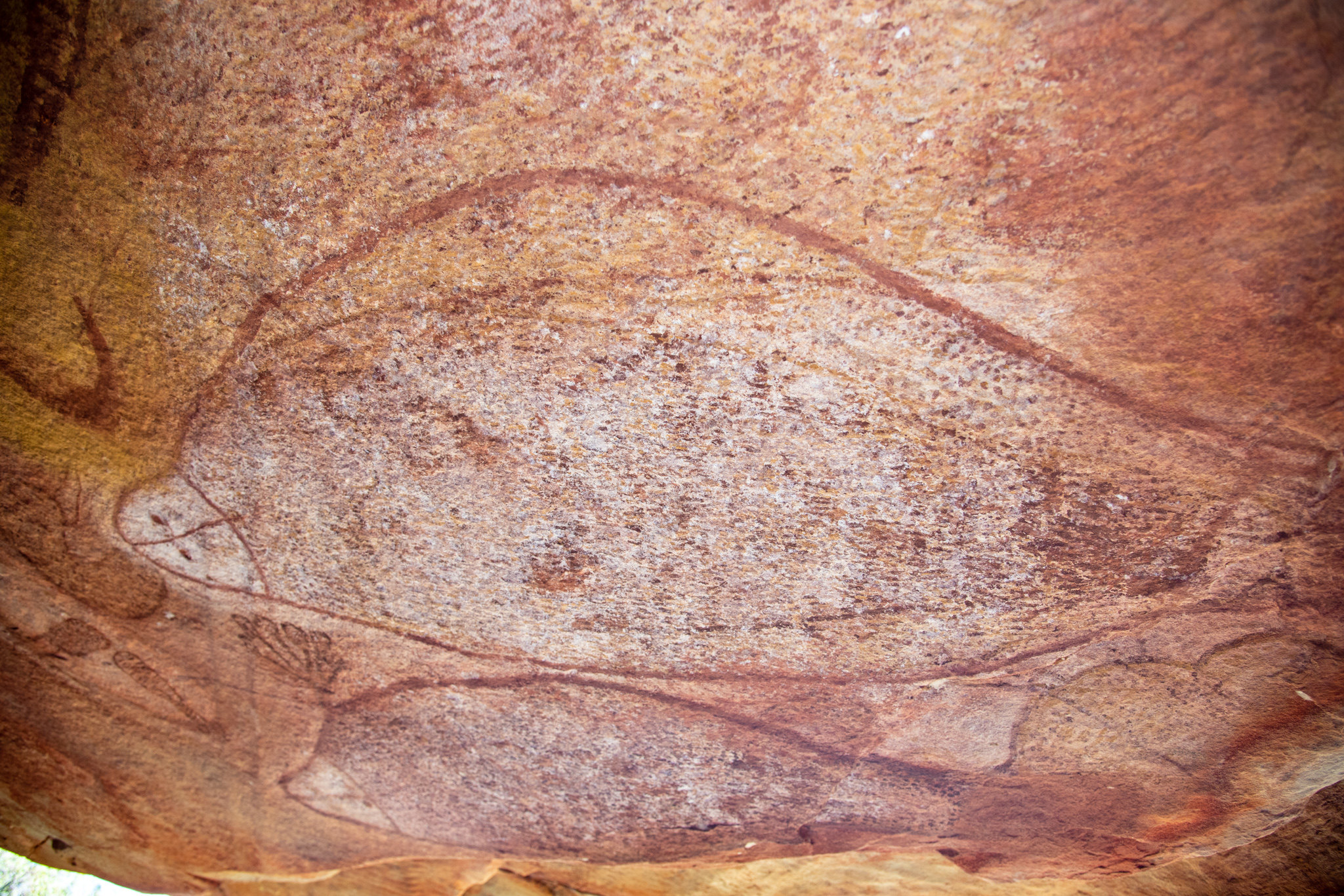
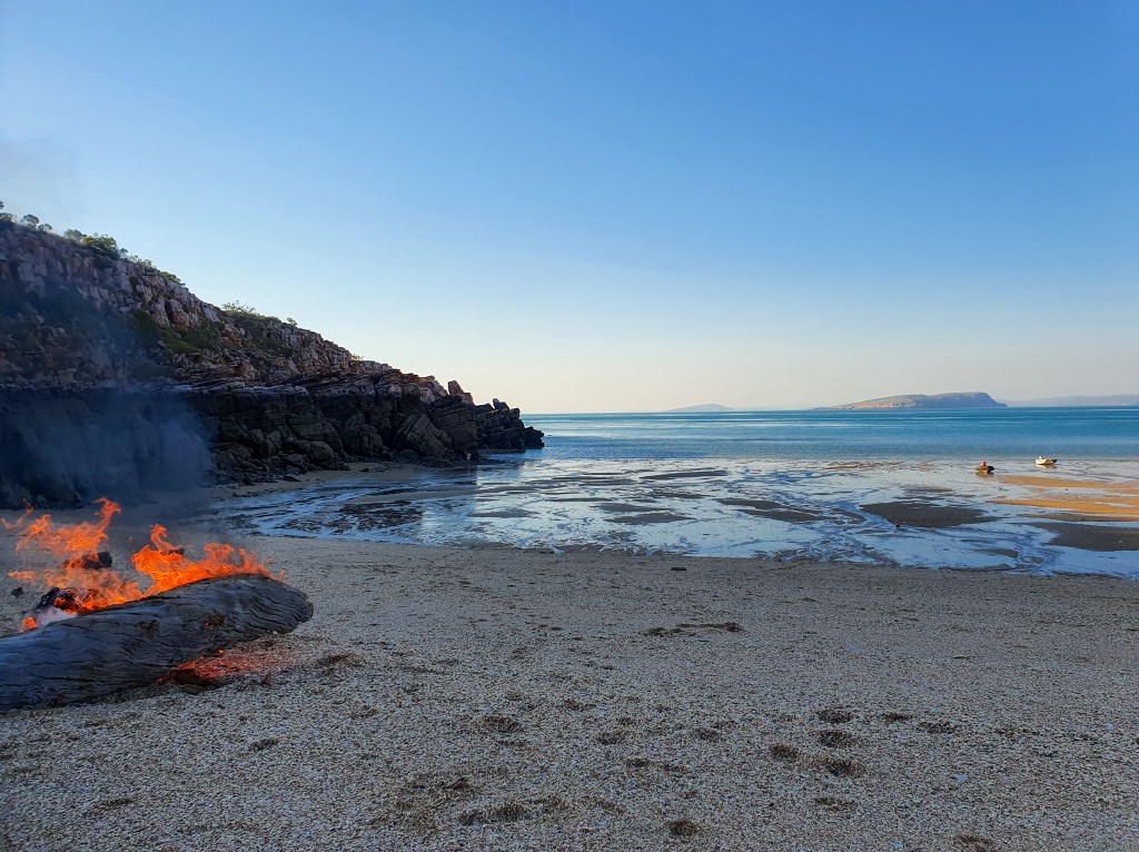
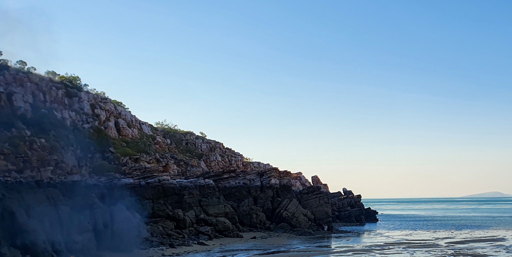
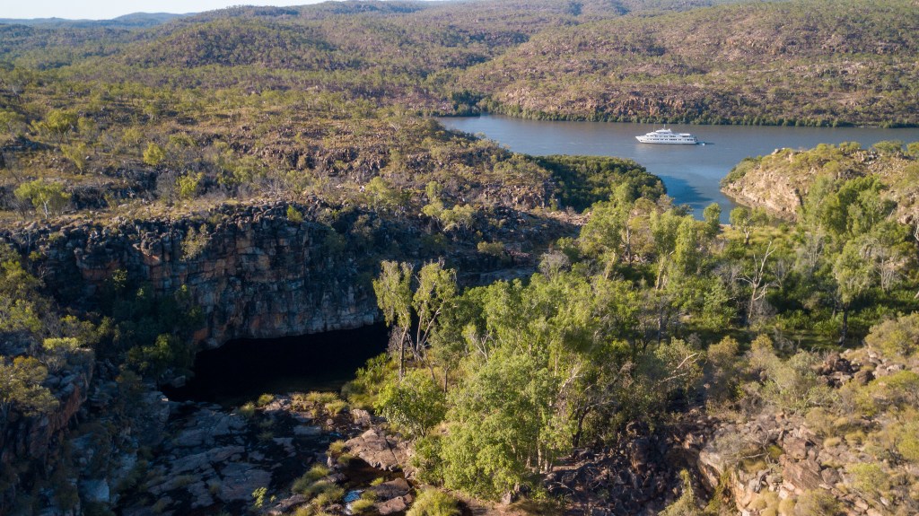
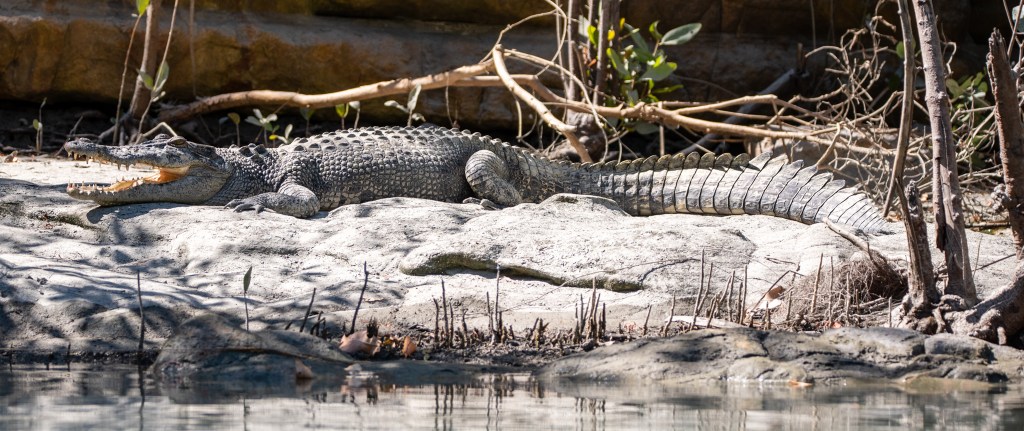
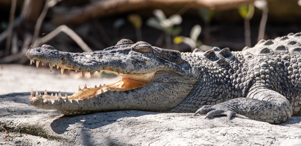
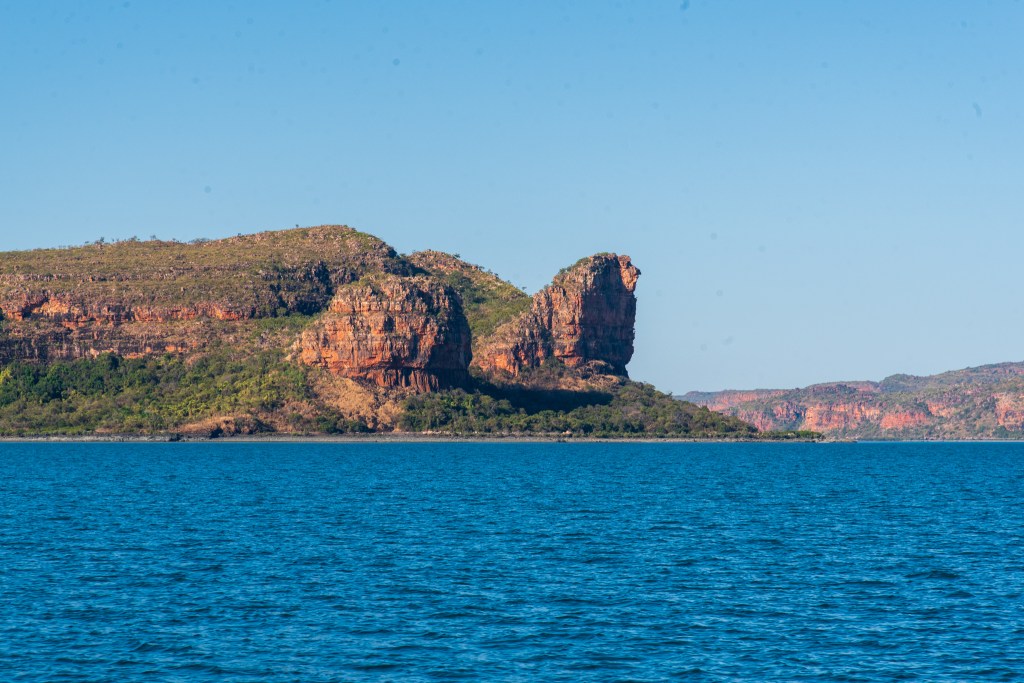
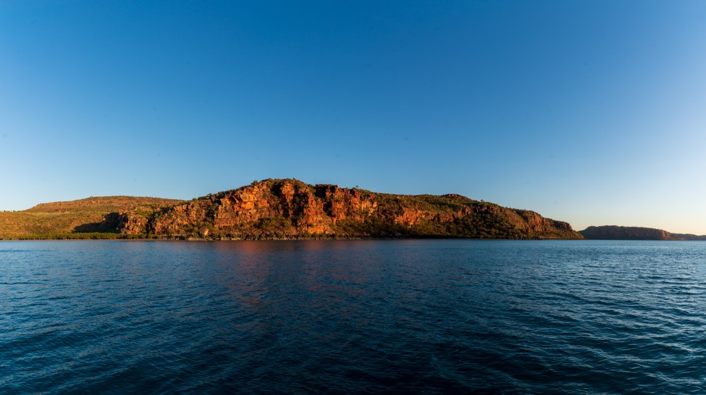
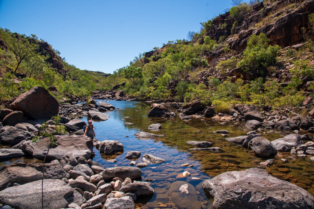
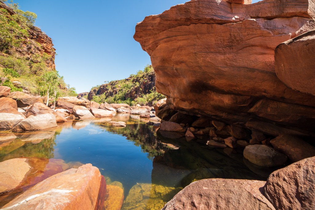
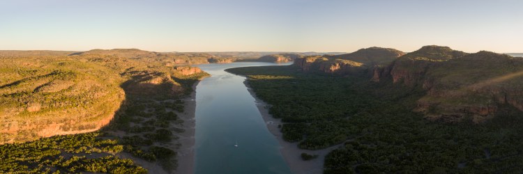
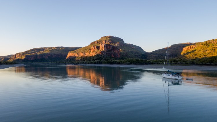
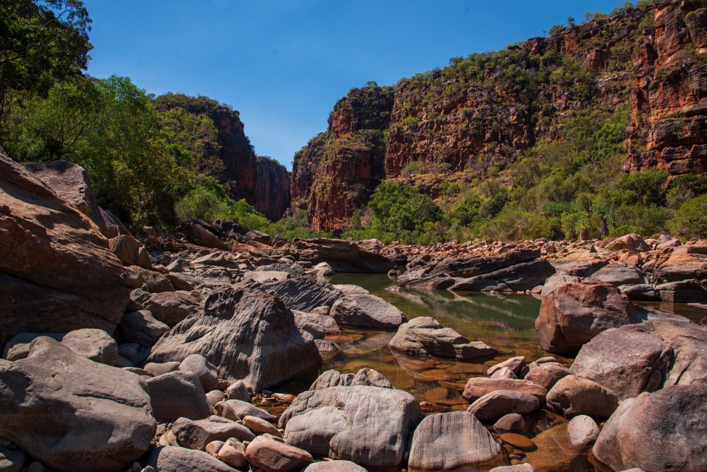
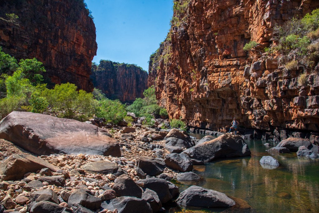
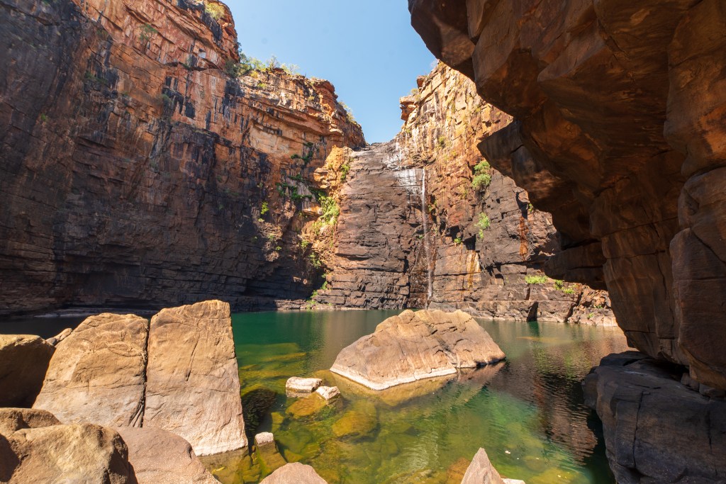
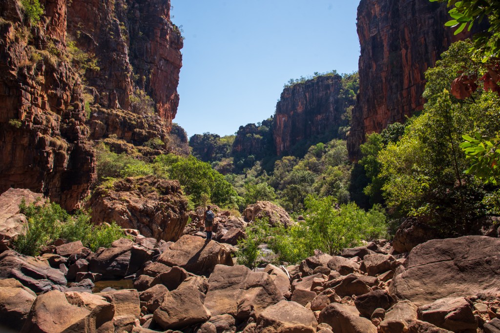
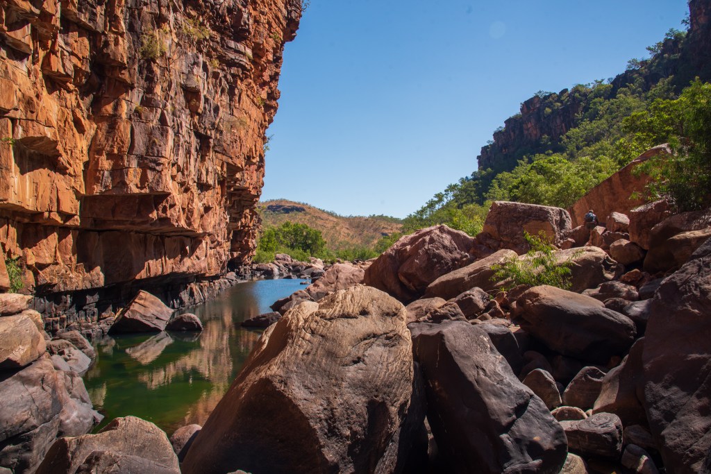
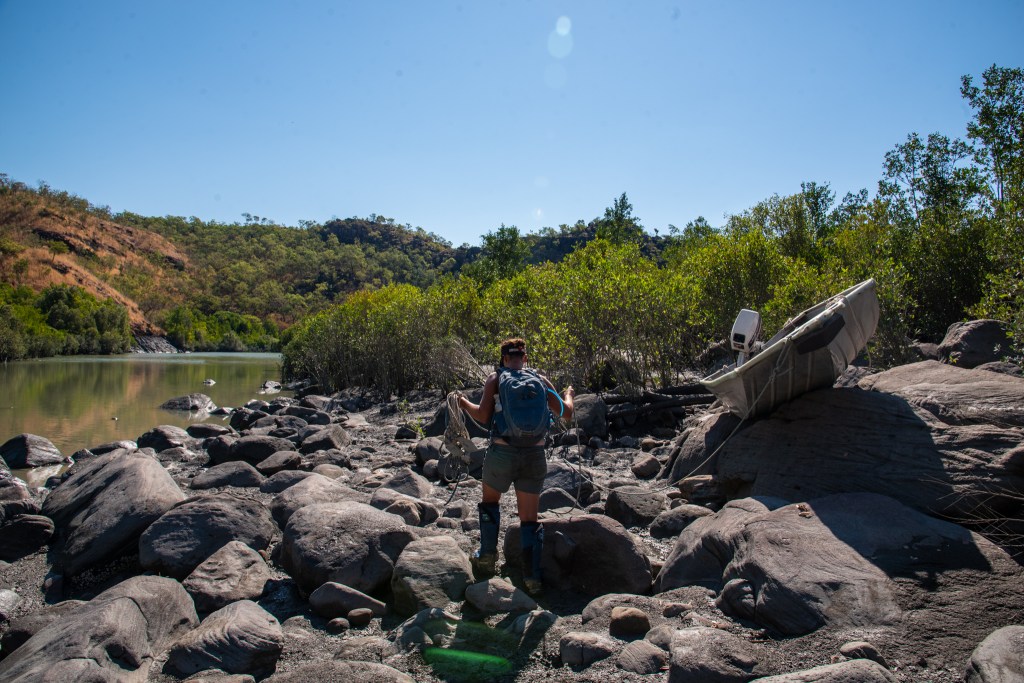
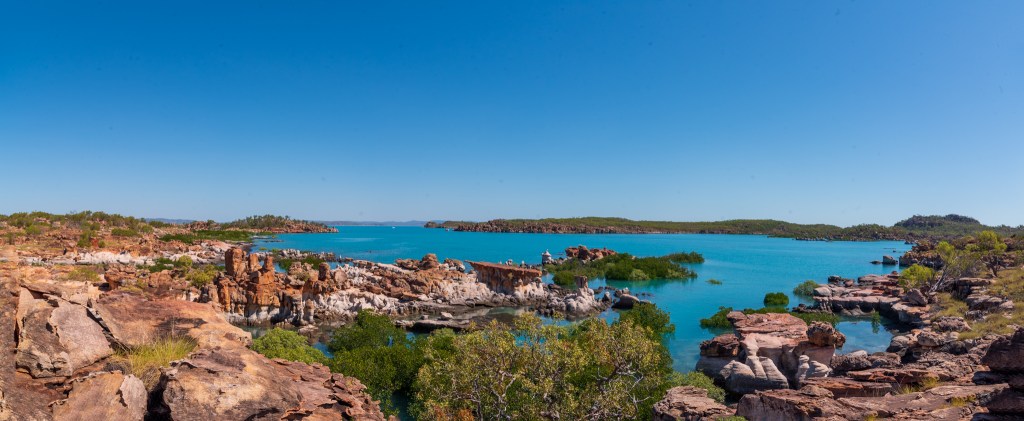
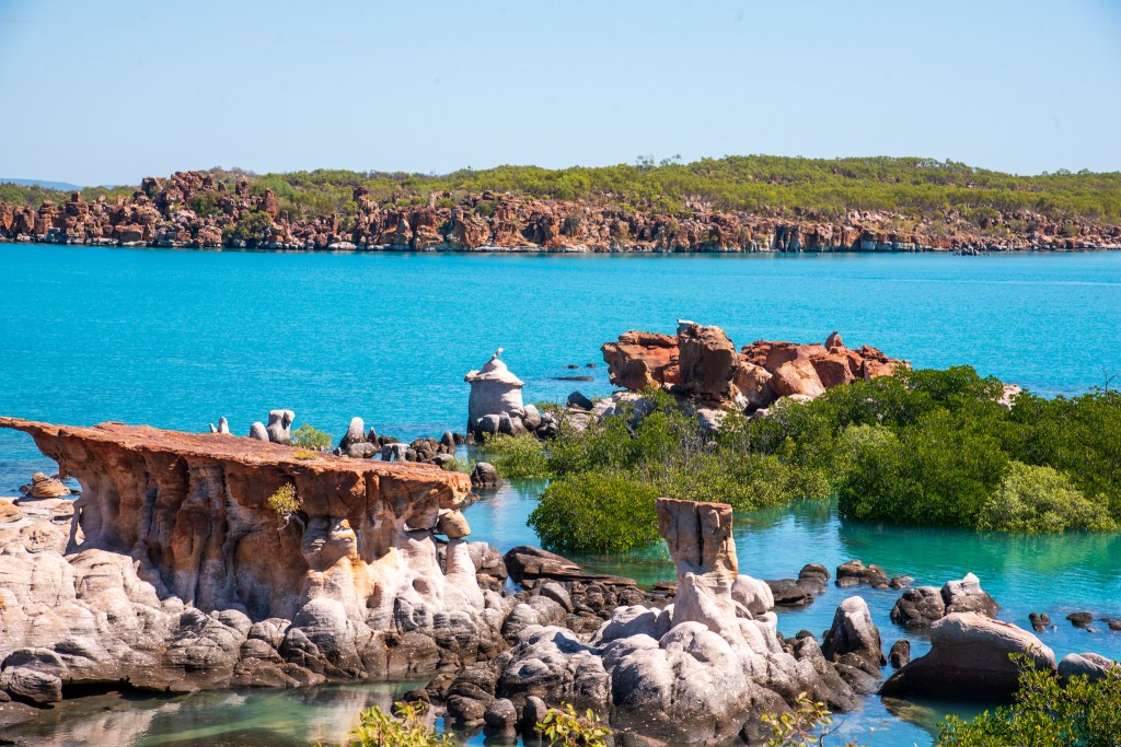
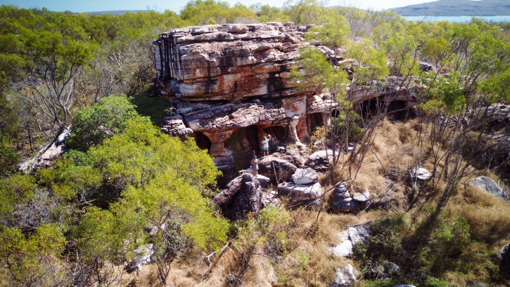
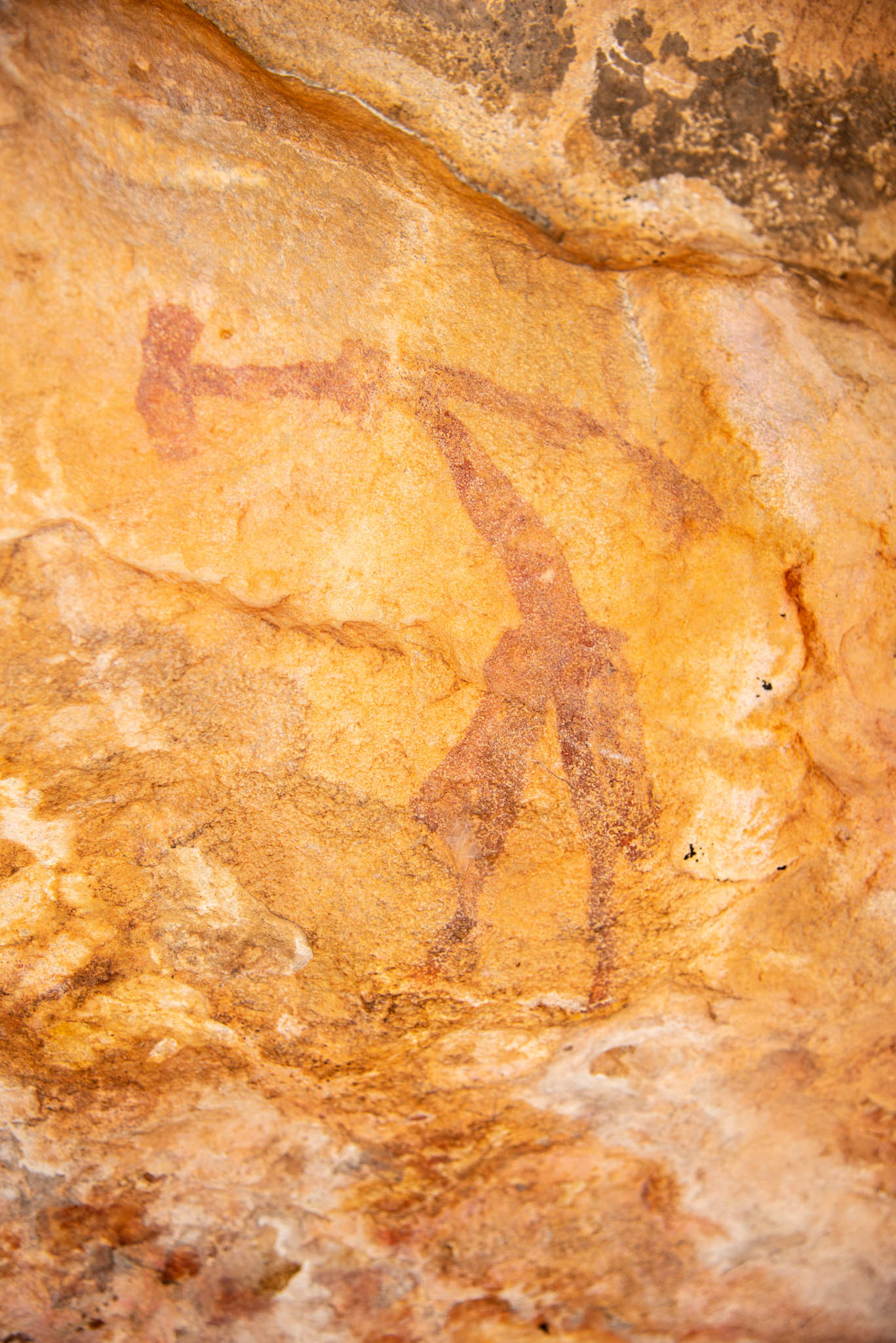
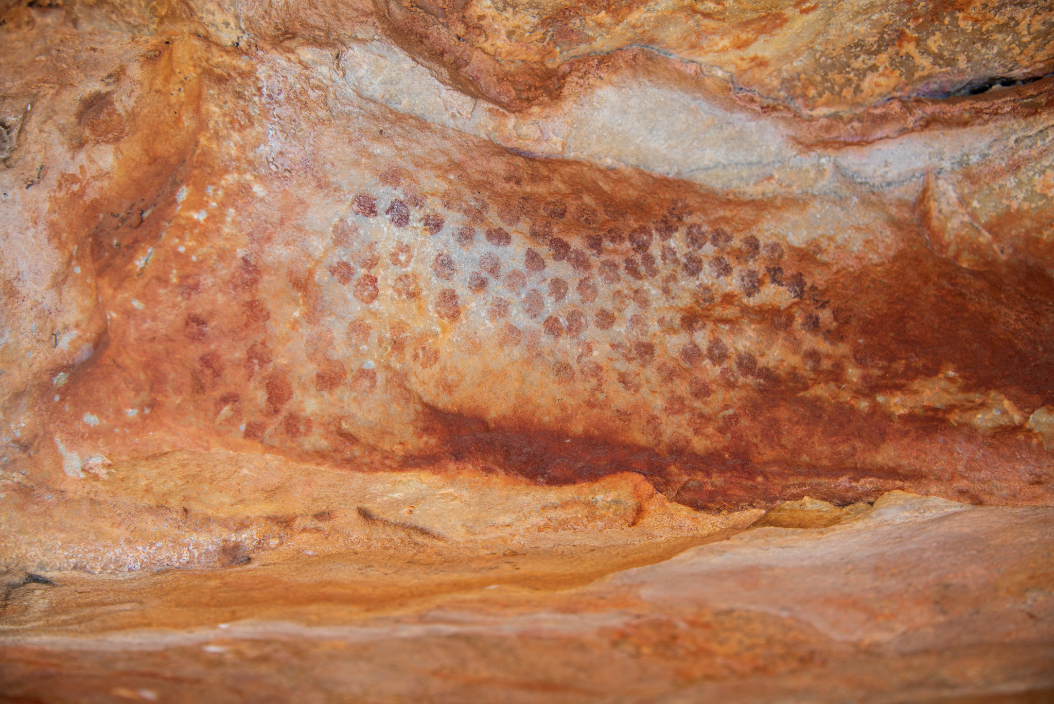
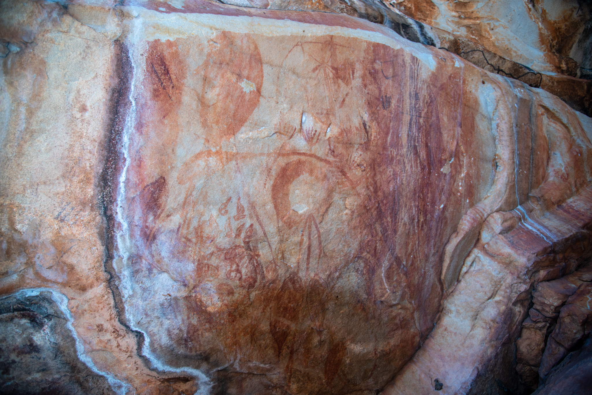
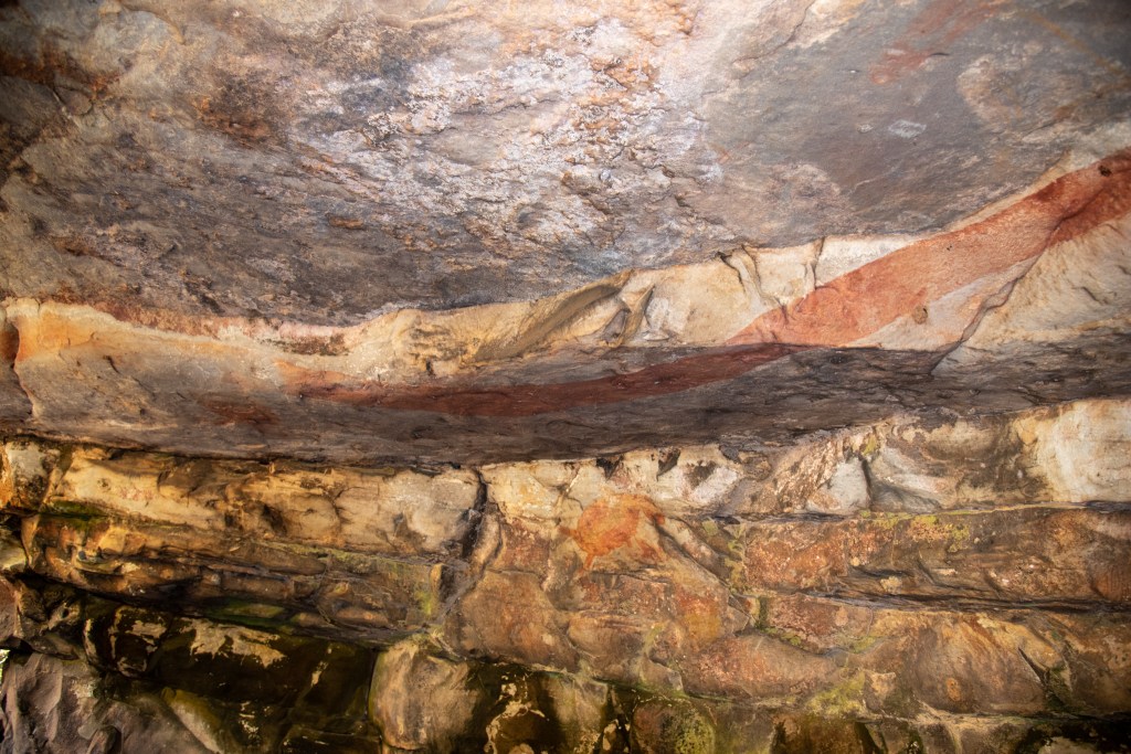
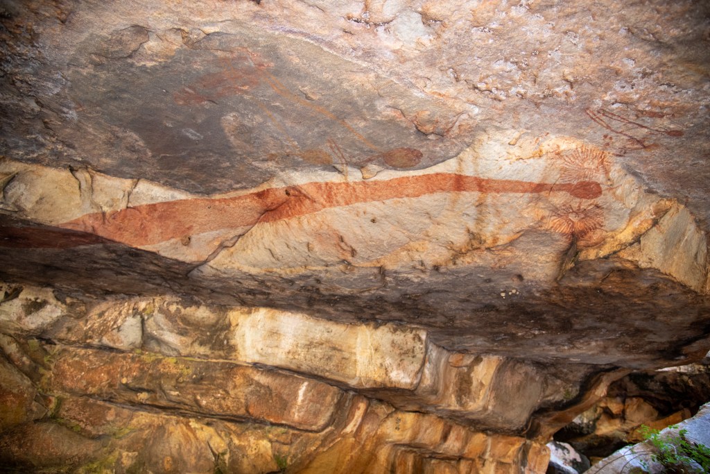
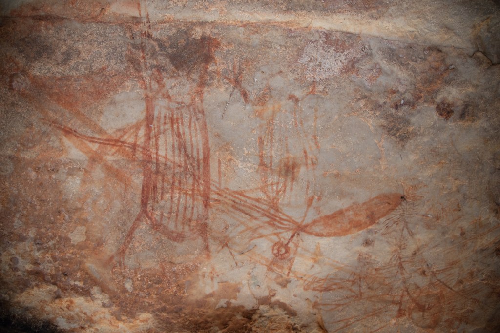
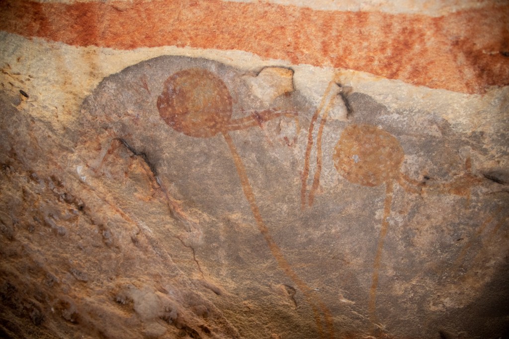
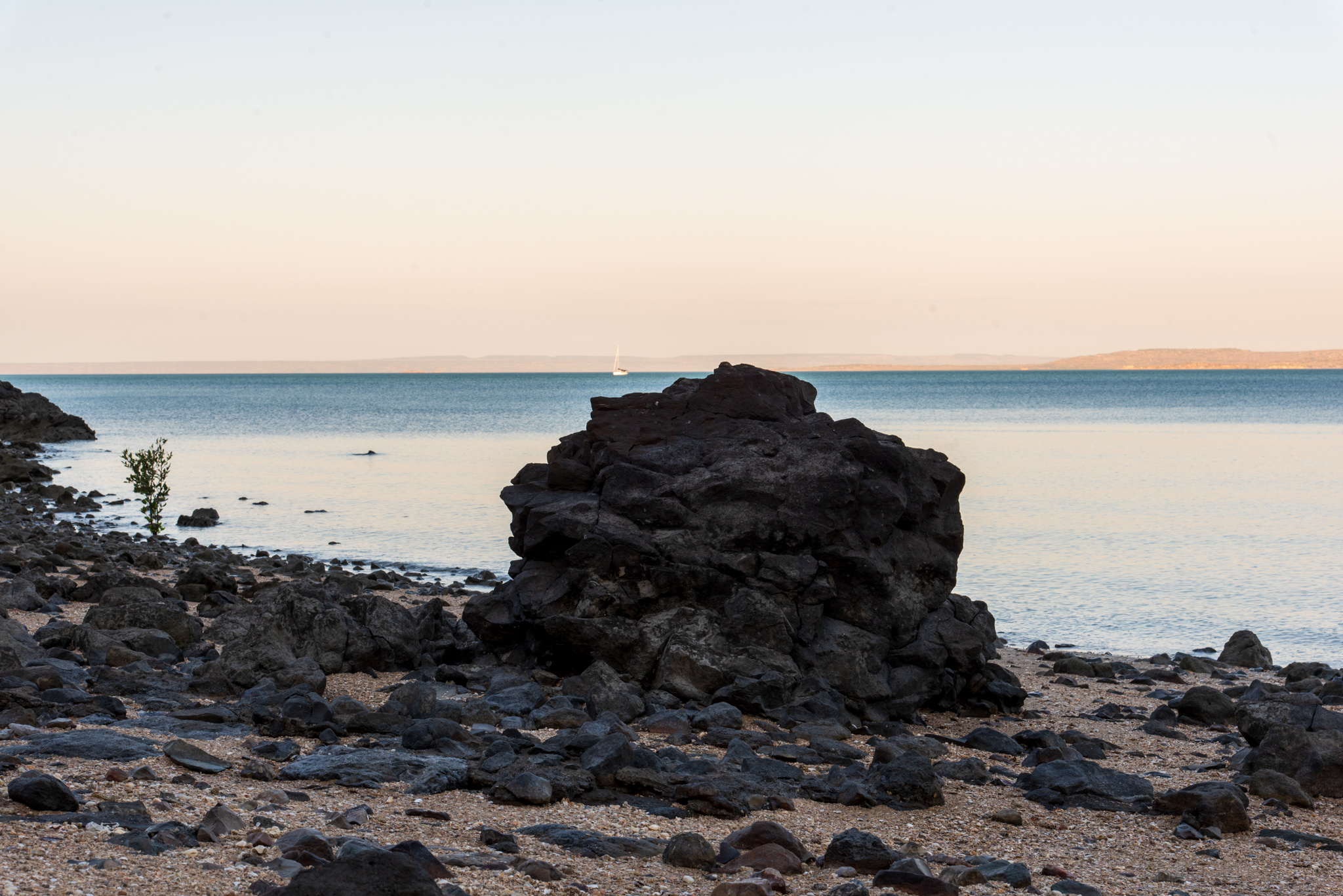
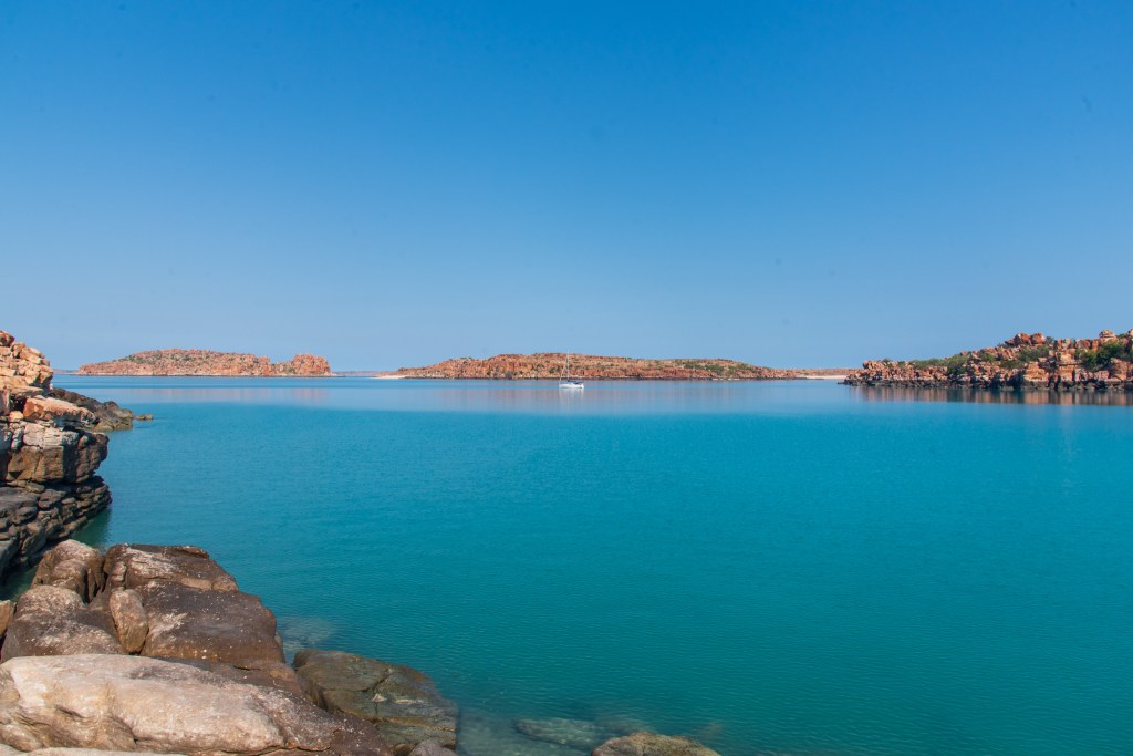
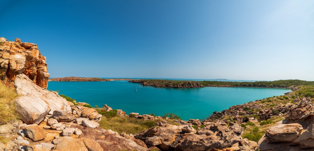
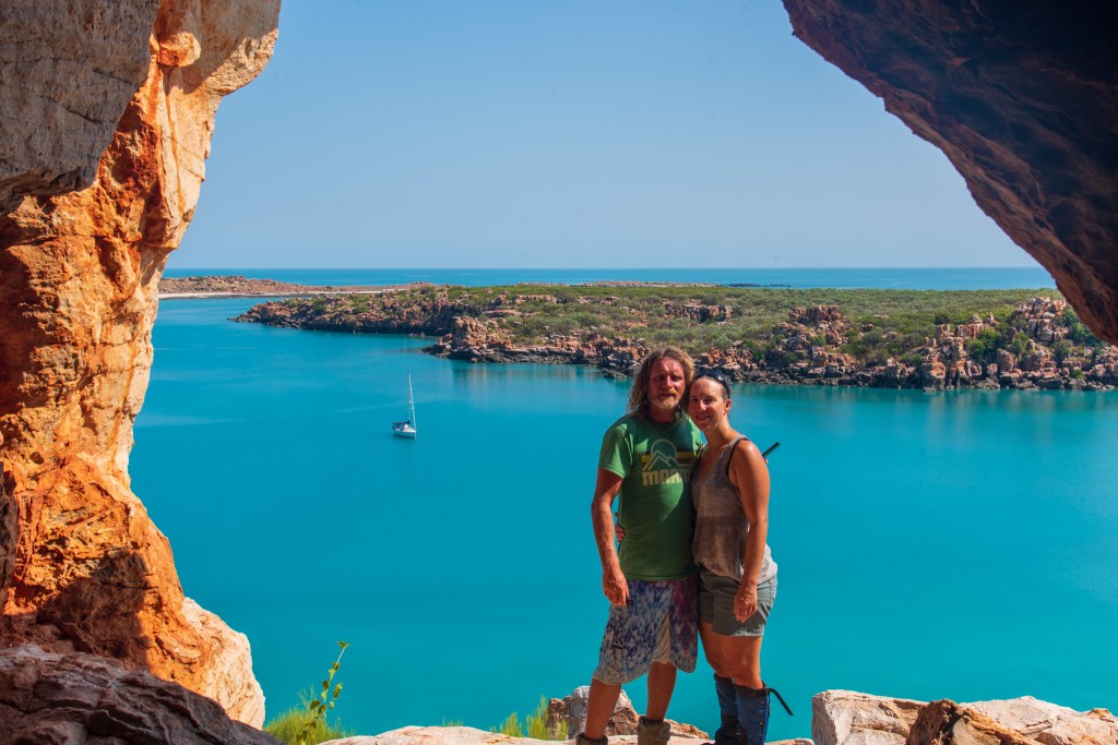
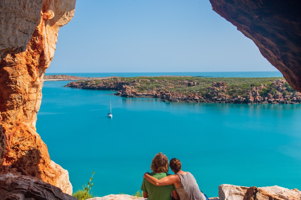
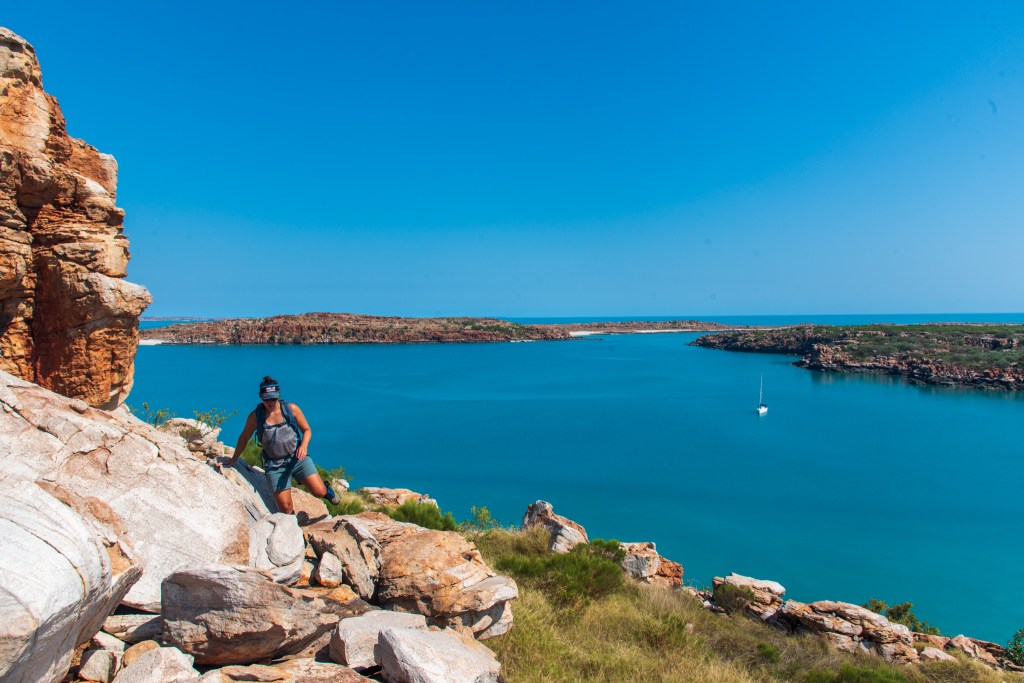
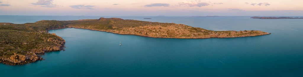
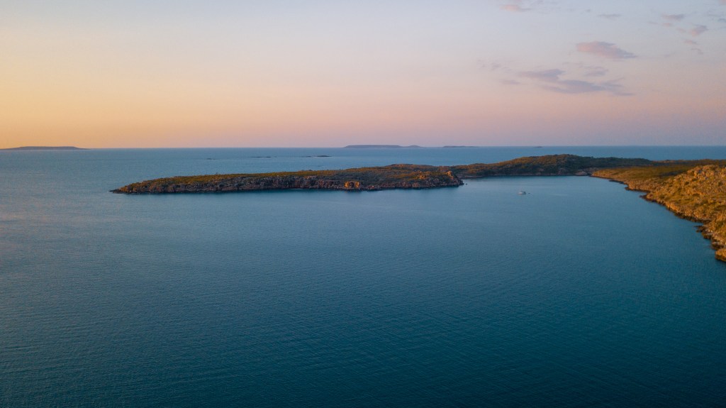
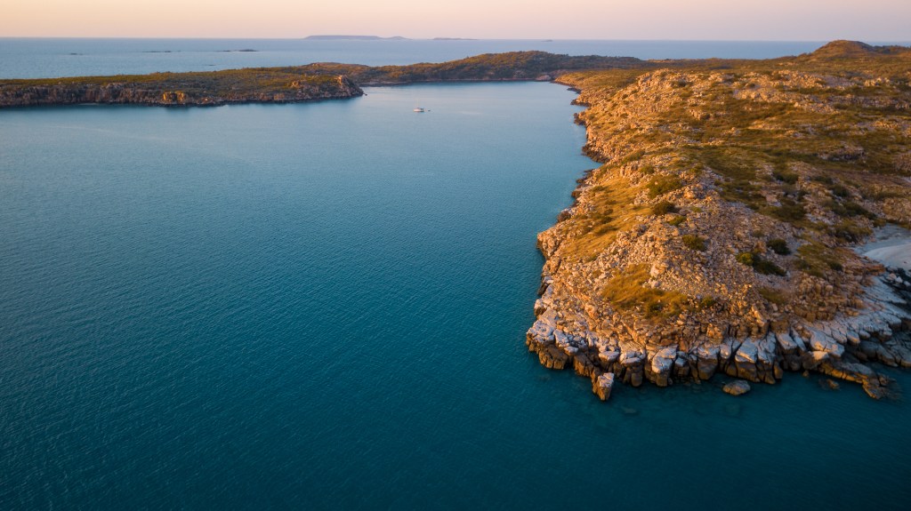
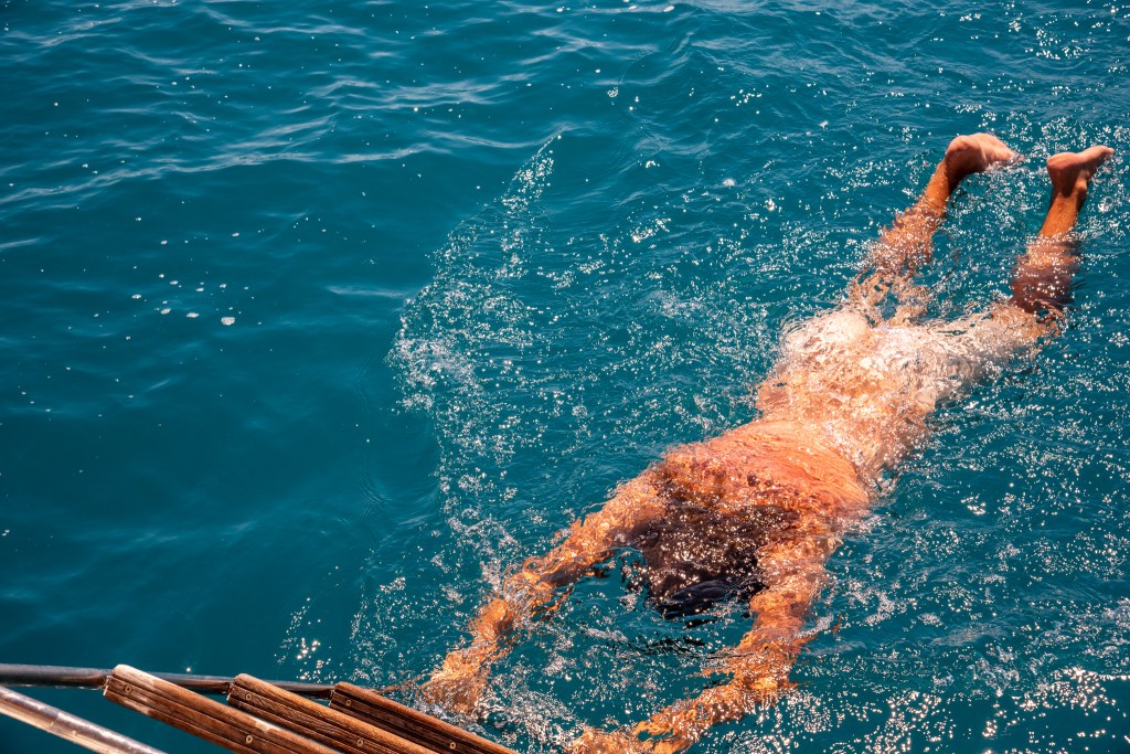
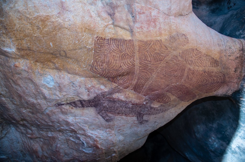
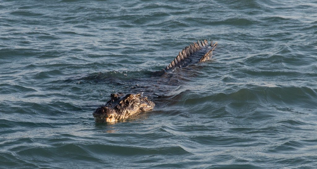
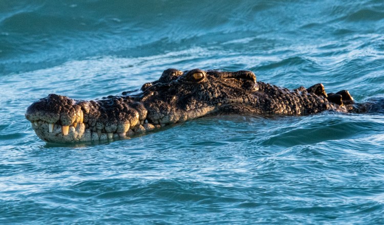
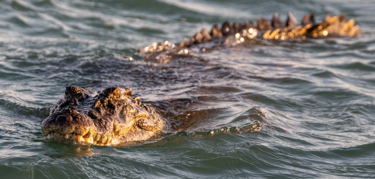
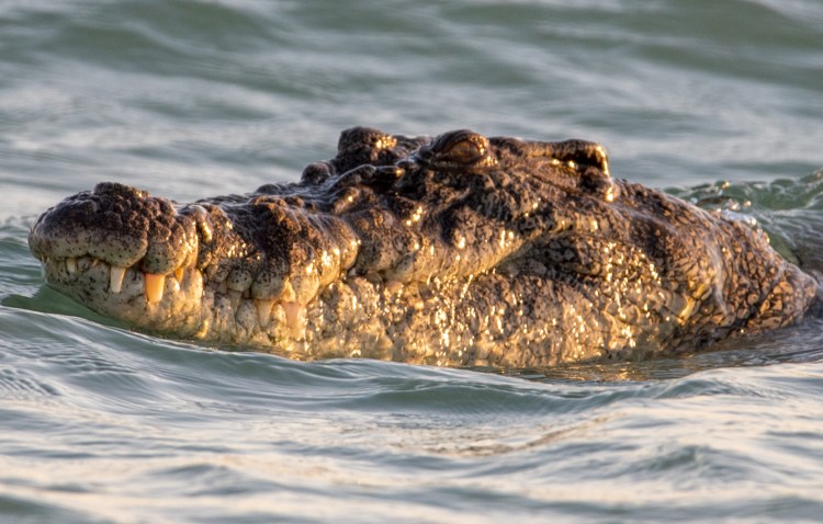
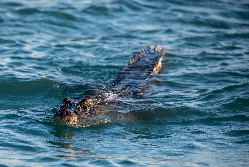
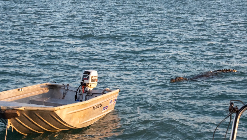
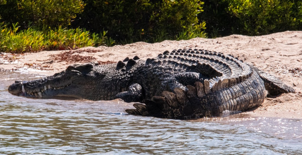
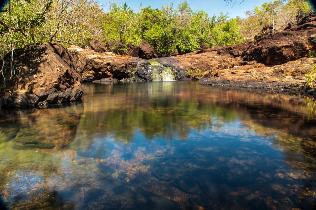
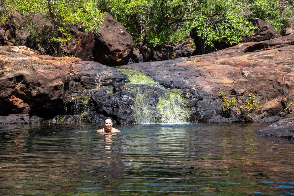
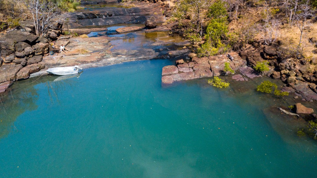
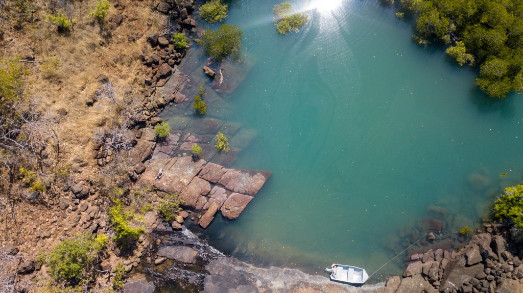
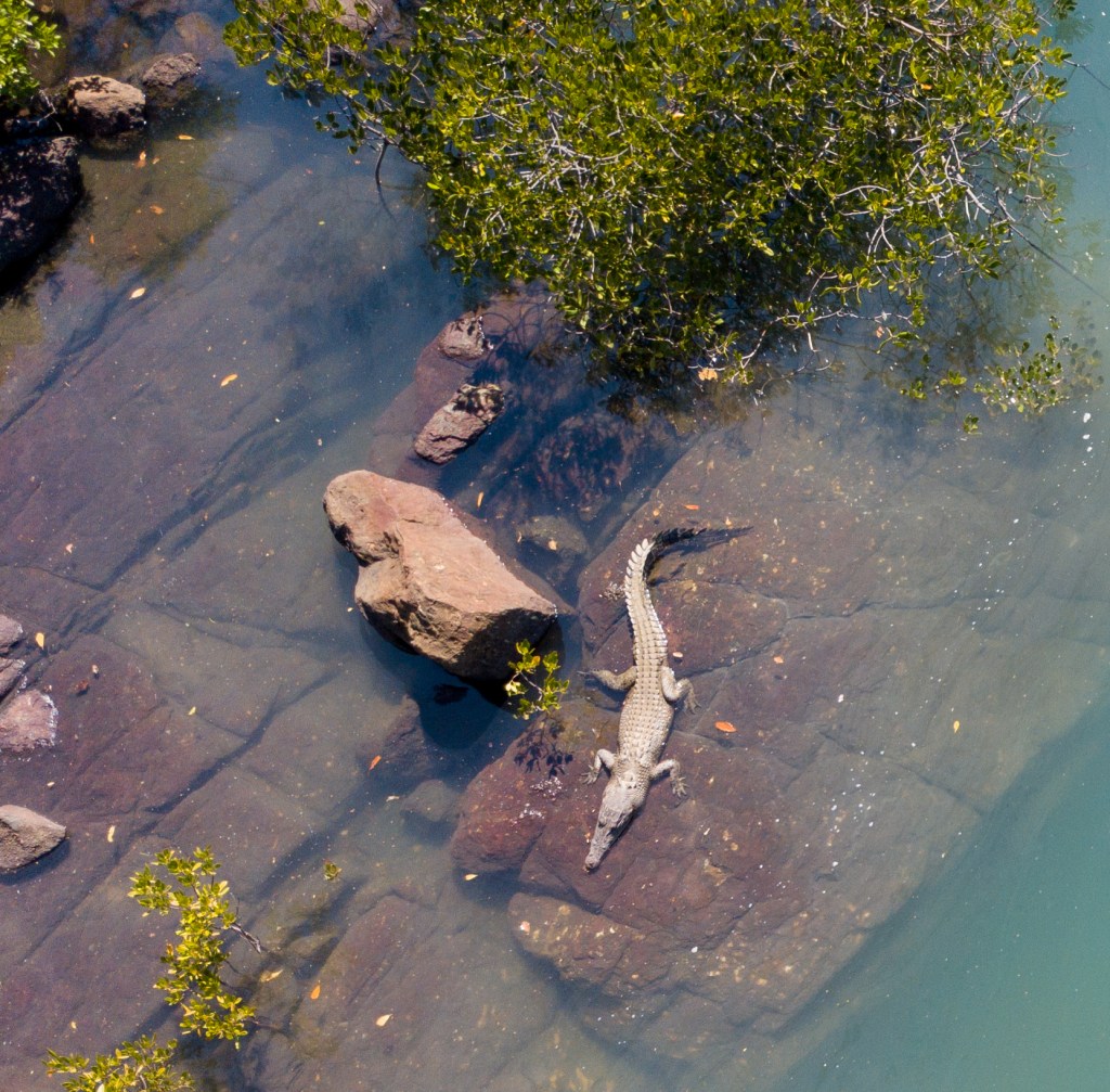
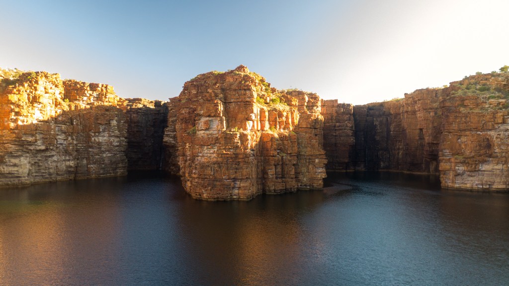
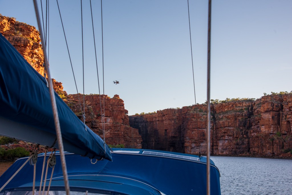
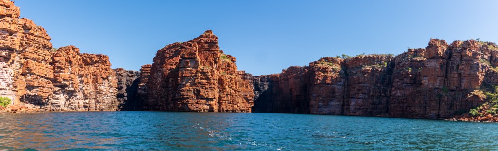
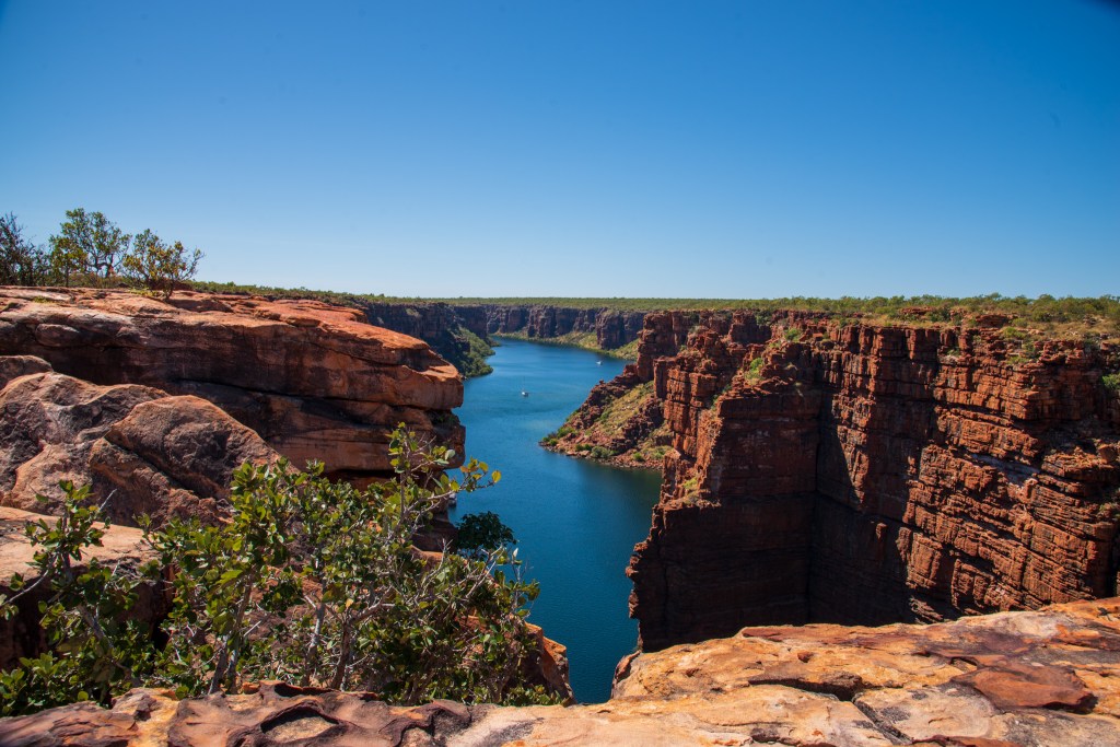
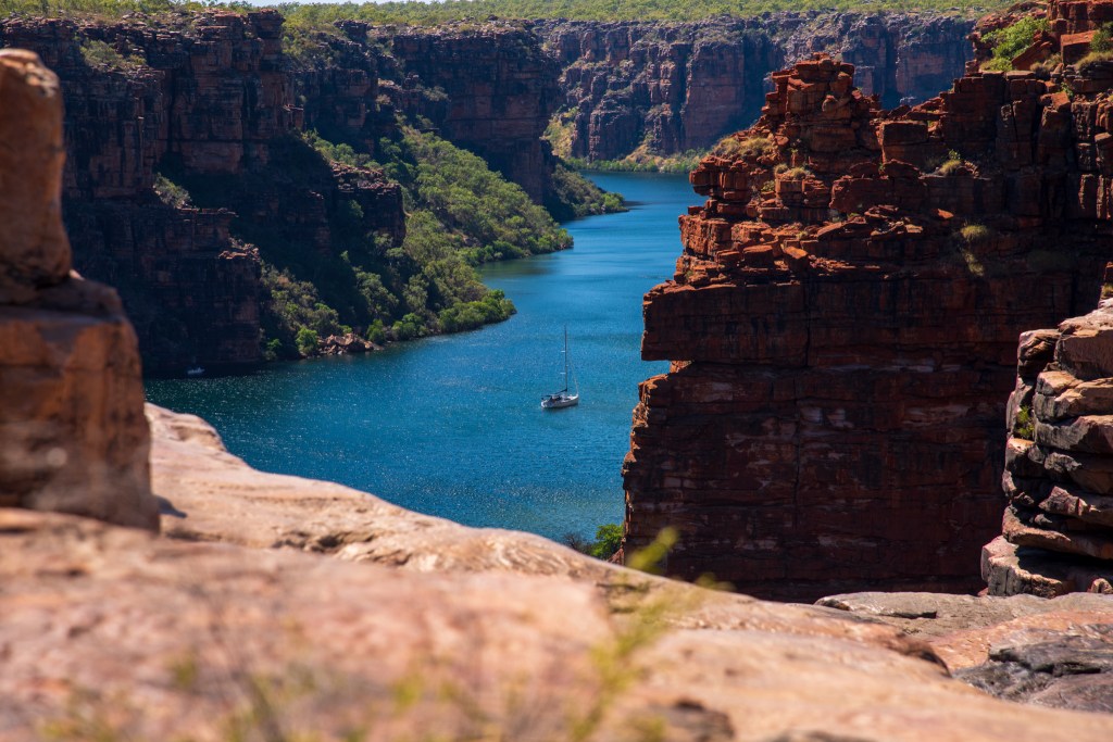
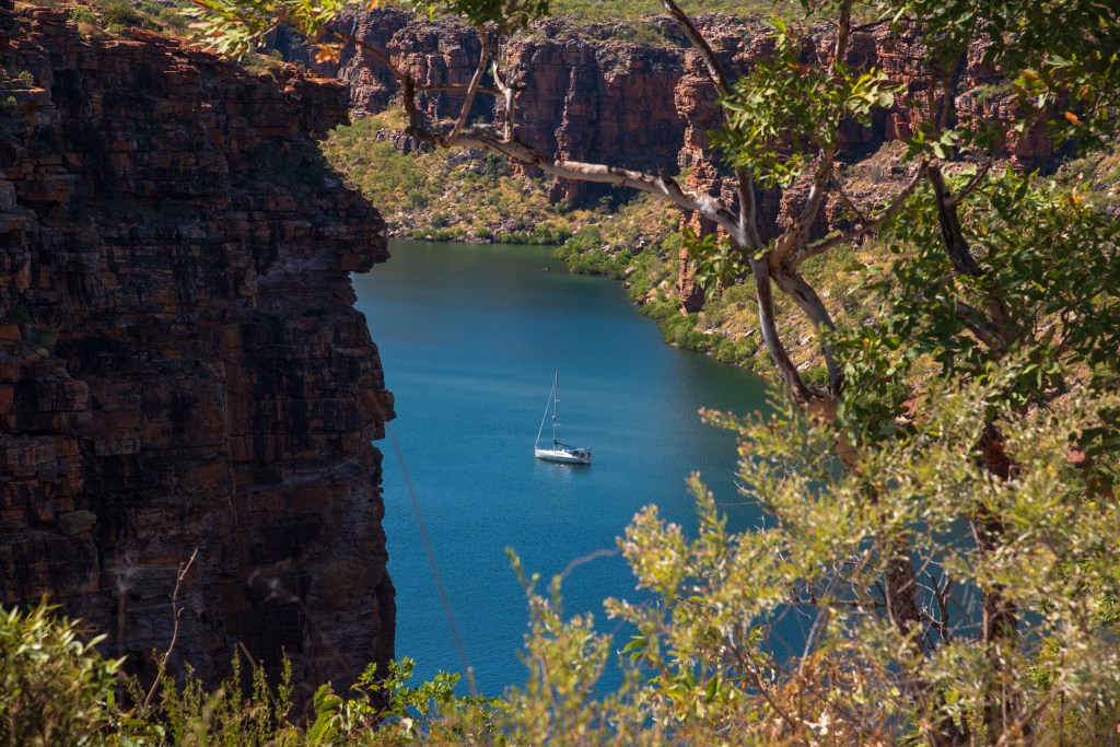
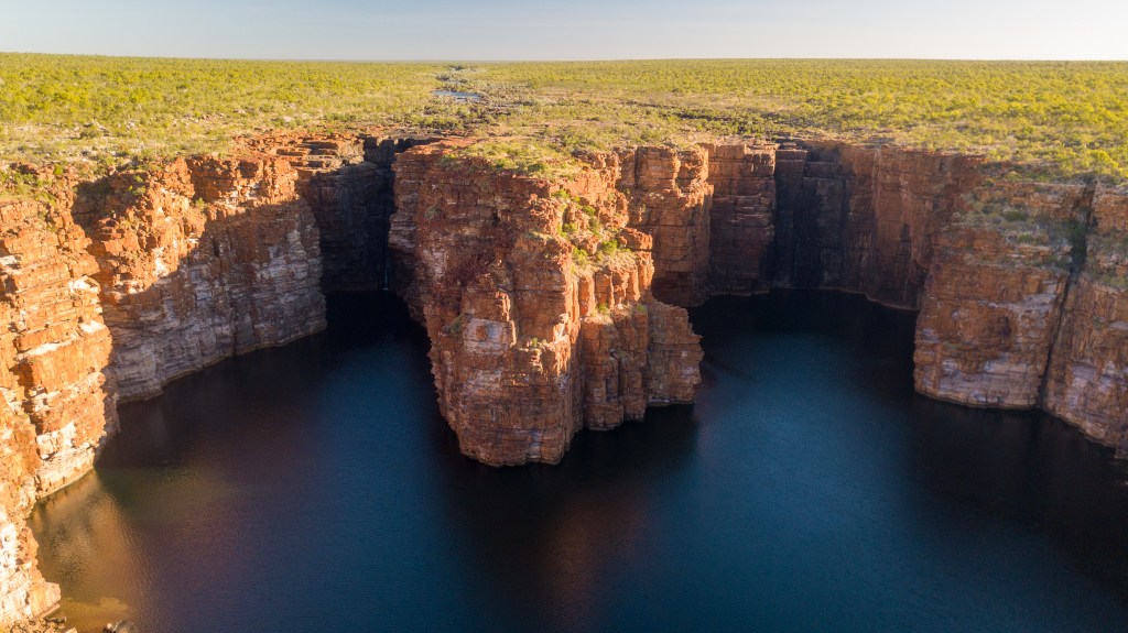
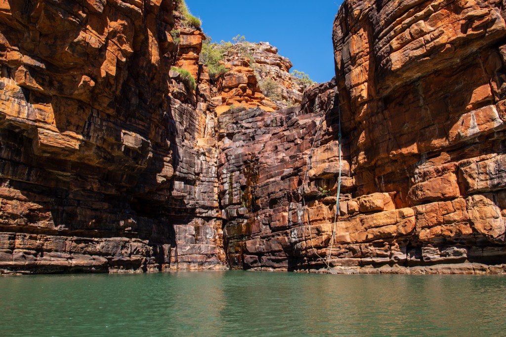
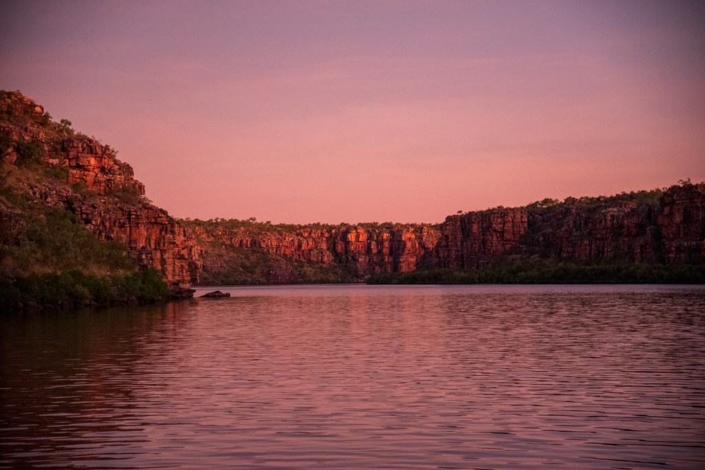
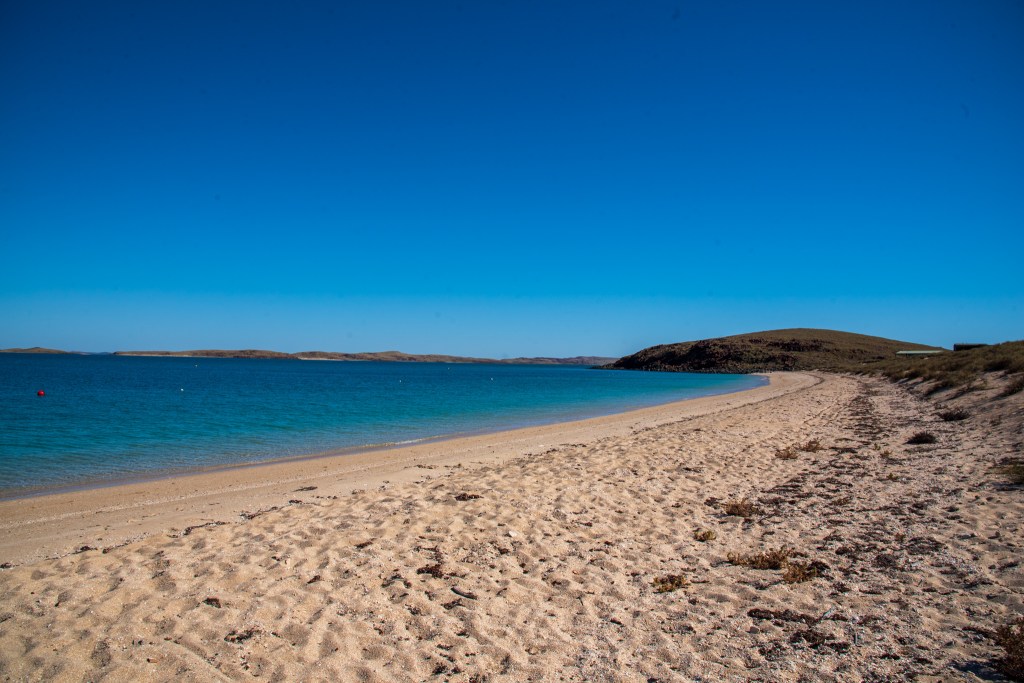
After several nights of some good sleep and three days on land, we were ready to head back out to sea and find out what the Dampier Archipelago was all about. Consisting of 42 islands, outcrops and islets, the archipelago is said to be the richest area of marine biodiversity known in Western Australia, with coral reefs, sponge gardens, seagrass and more than 650 fish species. Enticingly for us, the waters were also crocodile free so we would be able to properly swim and snorkel for the first time in five months.

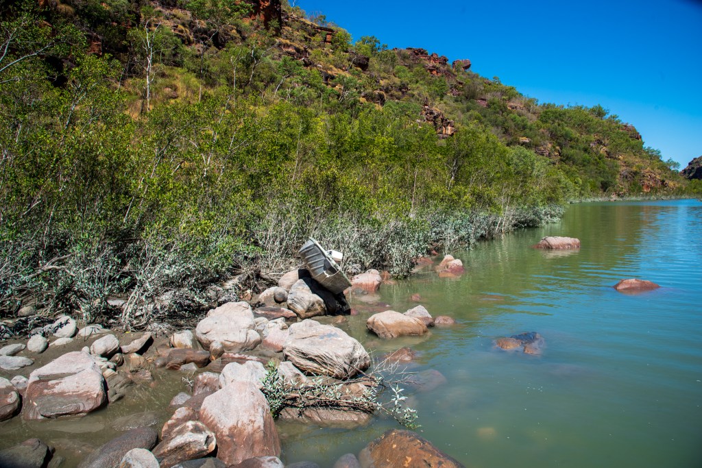
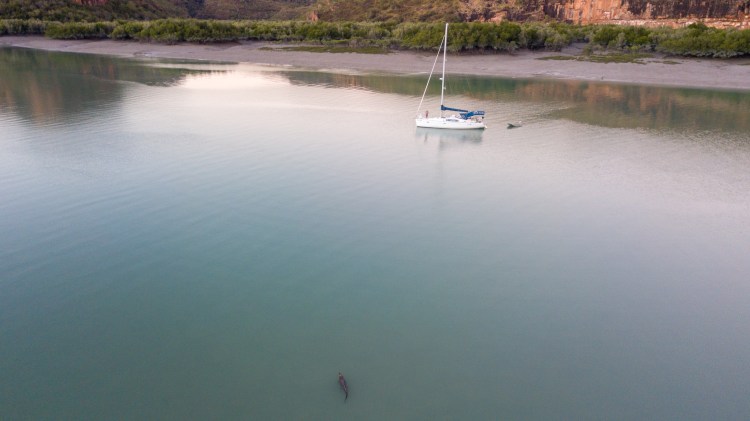
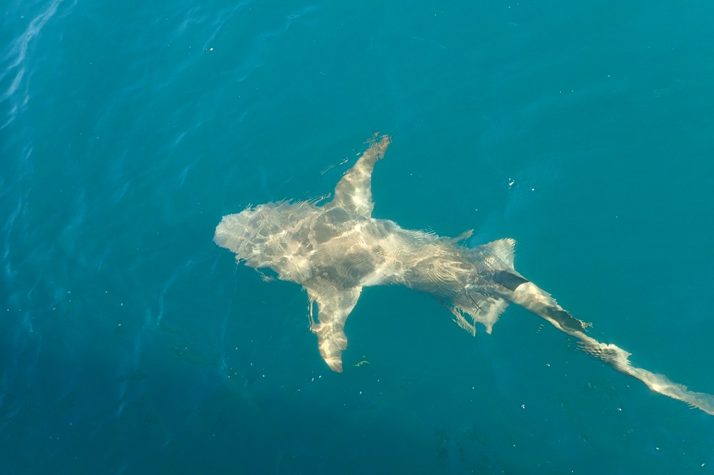
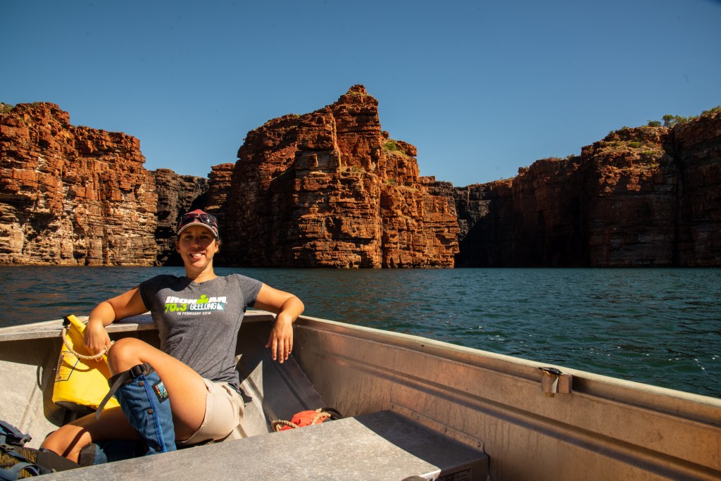
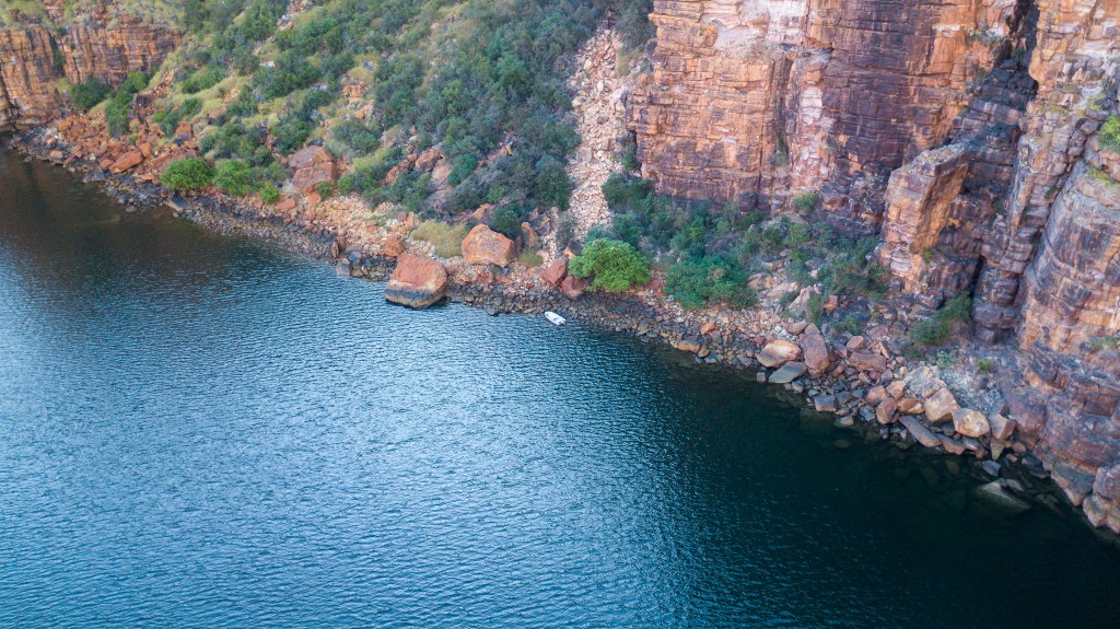
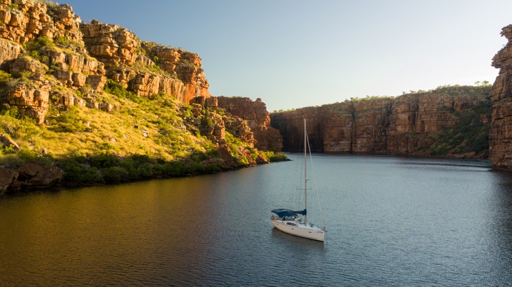
We spent three days in the islands, bouncing around different anchorages as we tried to get out of the ever changing winds and swell. On Malus, West Lewis and Enderby Islands we wandered along the deserted beaches and swam in the crystal clear waters. The water was a pretty turquoise colour and we spotted turtles, manta rays and reef sharks swimming in the shallow waters.

Whaler’s Bay, Malus Island

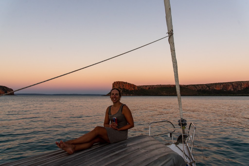
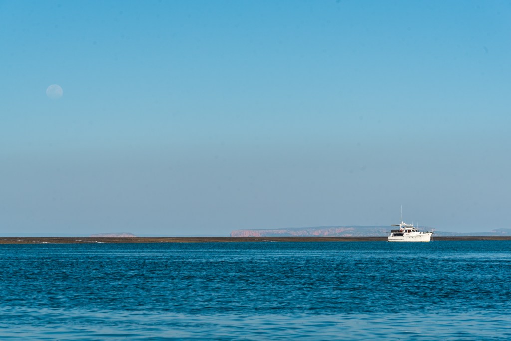
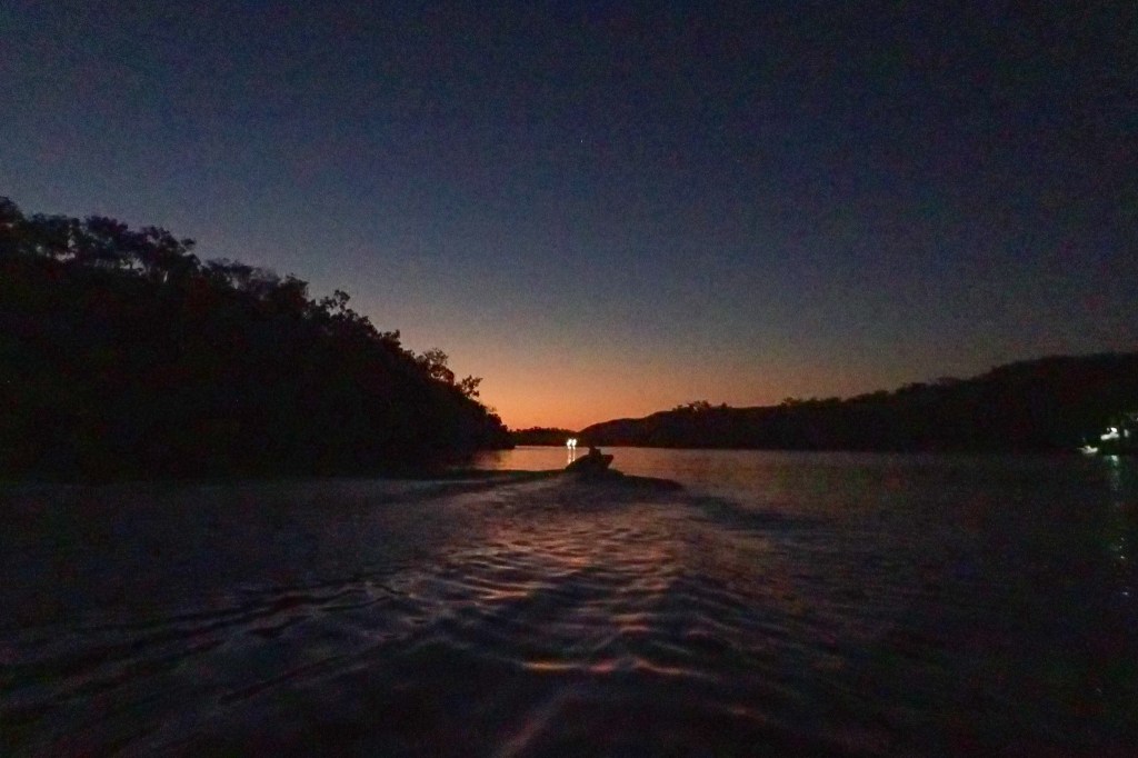
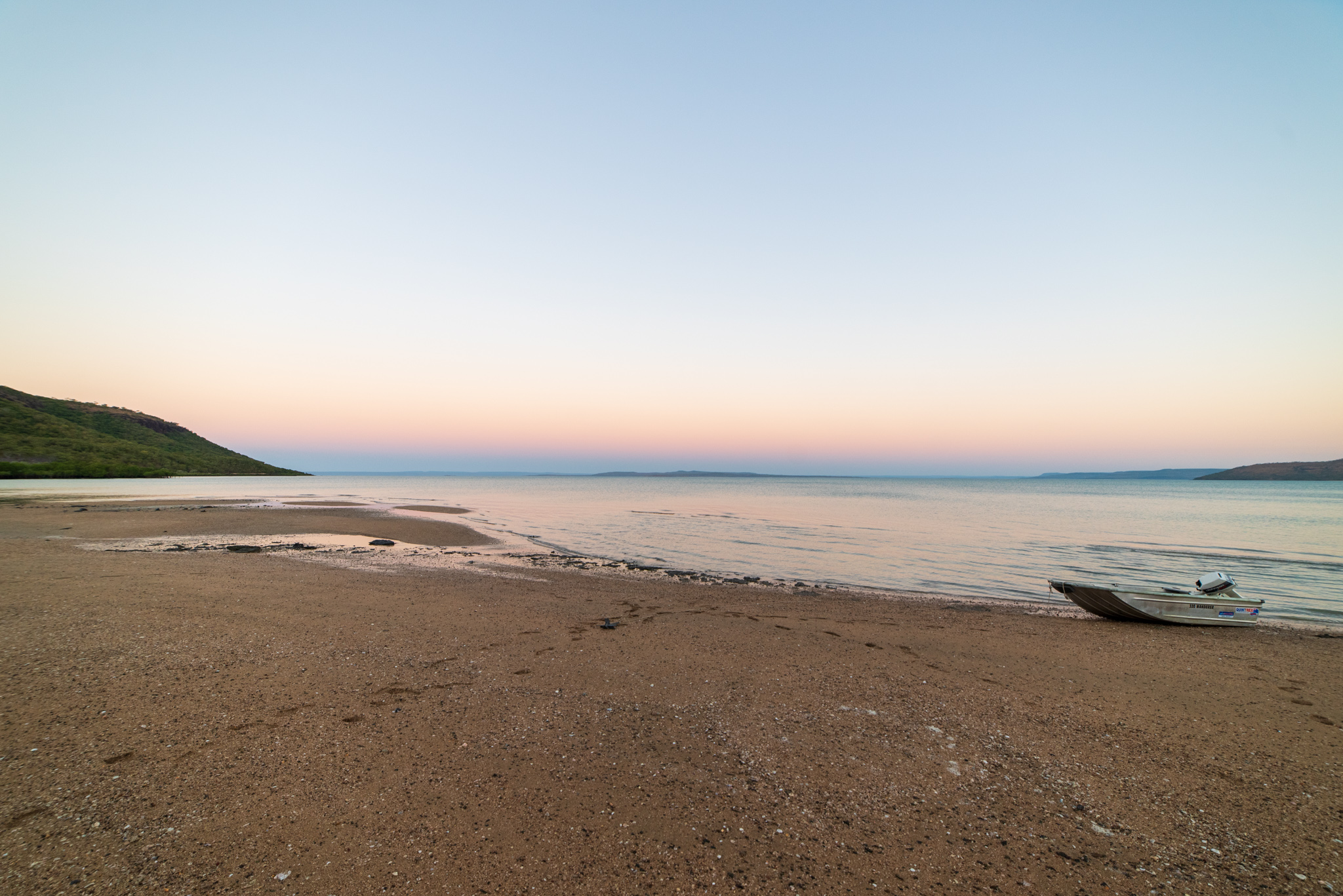
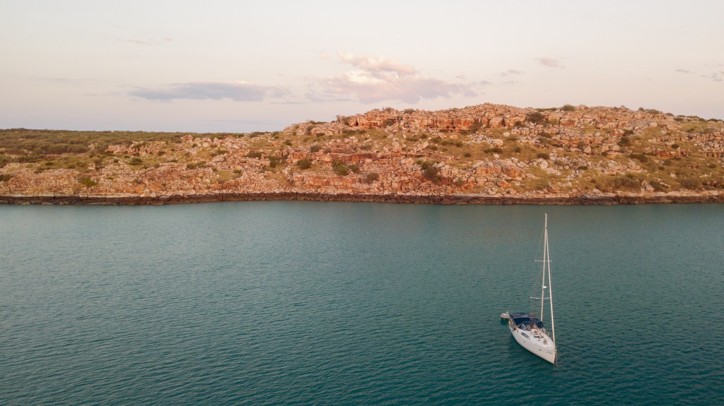
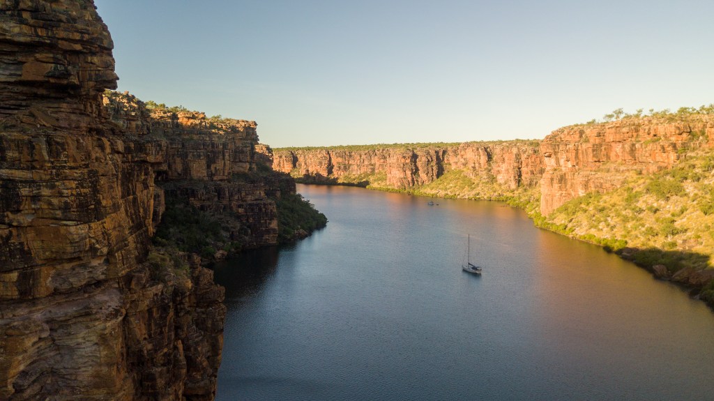
Brian and Sandra joined us at Enderby Island and we made plans to travel out to the Montebello Islands together. At a distance of 60 miles away, it would be a long day of sailing so we were up early and under way at 5 am.

After about three hours of sailing we heard a distress call on the VHF radio. It was from a yacht called Beaujolais, and the Skipper, Karl, had hurt his back and couldn’t get the motor on his yacht started. He was drifting in the open ocean and needed some help. He had contacted Dampier VTS on Channel 16, the hailing radio channel that all boats keep their radios tuned to and requested some help, giving the GPS co-ordinates of his current position.

About a minute later, we heard ‘Cool Change, Cool Change, Cool Change, this is Dampier VTS, Dampier VTS’ broadcast over the radio. They had determined that we were the closest boat to Beaujolais and were wondering if we were able to give him assistance. Our boat has an AIS transponder which tracks our position. We can see other boats on our navigation equipment and they can see us. Marine rescue and other similar organisations can also track our location. We plugged the GPS co-ordinates into our chart plotter and determined that he was indeed only about fifteen miles from us.

After a few calls to and fro, it seemed that what Karl needed was a tow, which our boat would not be able to do. In any case, we couldn’t ignore a boat needing help, so we pulled down our sails, turned the motor on and changed course to head directly for Beaujolais. Perhaps there was something else that we could do, some other assistance that we might be able to give him.

Meanwhile, Sealeaf had heard all of this on Channel 16, and being only an hour or so behind us, jumped on the radio to offer their services of a tow if it was needed. So they also altered course and our two boats made towards the stricken yacht. As we were heading there, Matt made further contact with Karl, and established that it was just the motor that was not working, and that the boat itself was still sailable, but that Karl had hurt his back so severely he was unable to raise the sails by himself.

Matt came up with a plan that if he could be safely transferred onto Beaujolais, then he would sail the boat back towards Dampier for Karl, hopefully to meet a rescue boat along the way, while I followed in Cool Change. This of course, would be dependent on being able to get Matt transferred safely across. Matt and Brian conferred on the radio and agreed that trying this course first may be the safest option, and so Brian agreed to keep heading for Beaujolais and to stand off until we arrived and Matt could assess the conditions.

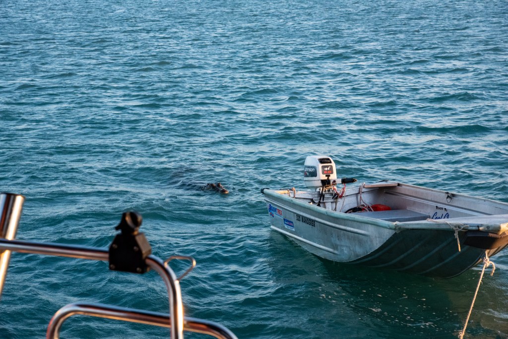
On arrival, we found Beaujolais rocking dramatically in the big swell. Our hearts sank. This did not look like it was going to be easy. Or safe. Matt chatted to Karl on the radio and determined that there was no way for him to board at the stern as he had been hoping, and that the only access would be via a ladder on the side of the boat. The problem was, with Beaujolais practically stationary in the big swell, the boat was being rocked so far from side to side, that the ladder was being pushed alarmingly into the water. While Matt was confident about his ability to swim in the big swell, he was less confident that he would be able to safely climb up the ladder. It was pretty scary.

It was also deemed too dangerous to lower a tender in swell this big. So when Matt decided that it just wouldn’t be safe for him to swim across and try to climb the ladder, with me privately breathing a huge sigh of relief, it was over to option two. Brian and Sandra agreed that Sealeaf would tow Beaujolais back to Dampier. They set about trying to attach the tow line which was incredibly hard work in the big swell. Finally, after well over half an hour and many, many attempts of Sandra driving Sealeaf slowly past Beaujolais, with Brian directing at the stern, Karl managed to retrieve the tow line and the two boats were attached.

MV Sealeaf towing SV Beaujolais

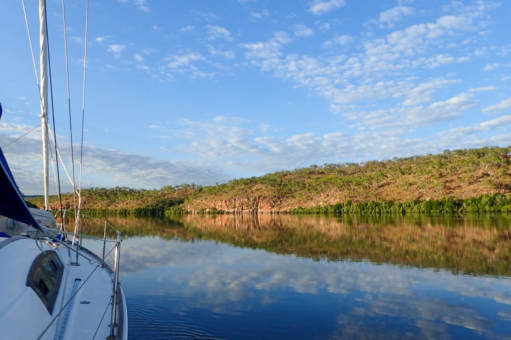
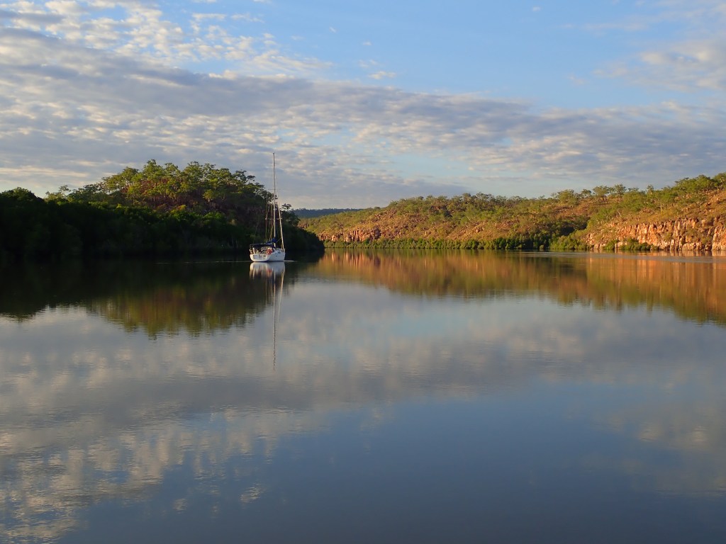
They set off for Dampier and we followed, sailing slowly behind. Sealeaf ended up towing Beaujolais all the back to Hampton Harbour and we went back to Enderby Island to anchor for the night. The Montebellos would have to wait until another day!

Helping one person might not change the whole world, but it could change the world for one person.

Anonymous

Provisioning for the Kimberley

Back in Cairns and in Darwin, a lot of people would ask me how I knew how much food we would need for the trip, and how would I plan and shop for such a long time. My response; I didn’t really know, just guessed and estimated and if in doubt, bought extra! Matt thought we’d be about 6 weeks, I was a little more realistic with an estimate of 8 weeks, as it was in fact nearly 9 weeks.

Since I am a teacher, and we all know how much teachers love a bit of data collection, I recorded everything that we ate and consumed in the 61 days from Darwin to Broome. Why? Well, I did have a bit of time on my hands. Also, I thought it might be useful in the future if we ever did a trip this long again, and maybe it might help someone else who is beginning the sometimes overwhelming task of provisioning for their own long trip.

So how did we go?! All in all we ate pretty well. We ran out of the fresh food after about 3 weeks but at no point did we come close to starving! Even at the end, the boat still had a heap of tinned and frozen food on board, although many of our favourite items were long gone! The only thing we ran seriously low on was gas. We did have our tiny hiking stove that runs on metho as a back up, but that’s certainly not an ideal alternative. As it was, we are incredibly grateful to Brian and Sandra for the use of their spare gas bottle which got us through the last two weeks.

Some people completely plan their menus and write lists of what foodstuffs they have and where they are located in the boat. I don’t have a set menu plan, I like to be flexible, but I do have a list of my favourite boat recipes that work well, and tend to shop with those meals in mind. I do keep a list of what is in the freezer, mostly meat, but that’s it, for anything else we go rummaging through lockers.

I also discreetly placed (you could say ‘hid’) certain treat items in out of the way places. If you are travelling with someone who isn’t good at rationing (ie a Matt), then this tactic is important. It meant that I could still pull out luxuries such as chocolate, chips or biscuits late in the trip, even in Week 8. The only thing is you have to remember where you stashed it all. There’s a lot of little hidey holes on a yacht! But I think we found everything.

Also, a big thanks must go to master chef Leonie from Sens de la Vie for her many, many tips and tricks on both cooking and storing produce. She taught me a lot, but she also fed us an awful lot of delicious food!

After big trips of any sort, Matt and I usually debrief together and write lists of what worked well and what we could change. Some of the things from our debrief included:

  • Easiyo yoghurt maker is a must! (We use the unsweetened Greek style sachets)
  • more wraps
  • more vegetable juices
  • more brown onions
  • more popping corn. Freshly popped corn (with butter and salt) is a great snack.
  • cauliflower lasts better than broccoli
  • green beans don’t last long at all, but snow peas are still fresh and crunchy after 3 weeks
  • wrap celery stalks in foil
  • baby tomatoes last way longer than big tomatoes
  • tinned baby potatoes are great, so are tinned carrots! (Who knew?!)
  • tinned ham is pretty good
  • Deb potato is very useful
  • eggs, eggs and more eggs! Take as many dozen as you can! Fresh eggs that have never been refrigerated (ie from a Farmer’s Market) will keep for weeks without needing to go in fridge.
  • use green powder and supplements earlier in the trip
  • more frozen vegetables (and less frozen meat)
  • take bread mix to bake own bread
  • long life cream is delicious!
  • canned/tinned fruit is great and works to fill fridge up when stocks get low to keep it working optimally
  • ice blocks are great (eg. Zooper Dooper and Berri ice blocks) and can bulk freezer when stocks get low to keep it working optimally
  • have lots of cheese/cream cheese/olives/salsa/biscuits/chips and snacky options for sundowners
  • a portable vacuum sealer (Food Saver) is indispensable
  • a Soda Stream is a must!
  • have alternative/spare sources of cooking, ie electric kettle, induction plate, portable gas stove
  • buy produce that is as fresh as you can get (ie Farmer’s Markets, local butchers)
  • place bulk order with a butcher and ask them to package meat into small parcels and vacuum seal (many will do this for free)
  • you can never have too much beer

Also, just a note on rubbish. This is a big one. There was nowhere along the way to discard of rubbish so we needed to carry our 8 weeks worth without it getting smelly and taking up too much space. I came up with a system that worked pretty well.

Firstly, while in an anchorage any food scraps are placed in an air tight container that I keep especially for this purpose. When we are moving on, out in deeper water, we tip these scraps overboard. We never dispose of food scraps in an anchorage. That’s bad form, people.

Secondly, any crushable plastic, such as chip wrappers, are stuffed into an empty juice container. This is a fabulous tip from another sailing friend, Anne, and it was a real winner! It is amazing how much plastic rubbish you can condense into one container. A real space saver.

Any tins and cans are thoroughly washed before being stored and paper/ cardboard waste is stored separately and burnt in a campfire when possible. Since I removed as much packaging as possible before setting off, we mostly just had clean crushed cans, tins and bottles in our rubbish bags.

Here is the (almost) complete list of everything that we consumed on the trip.

Freezer:
400g pork mince
200g beef mince
400g lamb mince
2 X salmon fillets
2 X lamb backstrap
4 X eye fillet steak
3 X chicken breasts
6 X chicken thighs
2 X pork fillets
1 kg bacon
12 X sausages
1 pkt frozen peas
1 pkt frozen peas and corn
1 pkt frozen broccoli
2 pkts frozen blueberries
1 pkt frozen raspberries
1 pkt frozen mixed berries
3 X pre cooked mackerel curry
2 X pre cooked lamb and lentil ragu
4 pkts mackerel fillets

Fridge:
1 kg bacon
1 X pre cooked pork shoulder
1 X pre cooked lamb shoulder
2 X pre made pizzas (1 GF)
500g cooked turkey breast
1.6 kg salted butter
1.45 kg unsalted butter
5 dozen eggs
500g cream cheese
1kg tasty cheese
1 X double pack cheese slices
450g mozzarella cheese
400g parmesan cheese
3 wheels brie
2 wheels Laughing Cow cheese
3 X flavoured cream cheese
1 tub goats cheese
2 tubs marscapone
1 tub ricotta
2 tubs sour cream
1 bottle fresh orange juice
2 tubs hummus
1 X salami stick
4 X cabana sticks
2 X chorizio sticks
1 pkt prosciutto

Fresh Fruit and Vegies:
2 bunches spring onions
10 avocadoes
4 kg potatoes
4 X sweet potatoes
2 X mini pumpkins
1 X cauliflower
2 X green capsicum
5 X zucchini
1 bag carrots
1 head celery
1.5 punnets baby tomatoes
1 X cucumber
1 X iceberg lettuce
2 X baby cos lettuce
4 X lemons
5 X limes
4 X passionfruit
3 kg oranges
16 mandarins
27 apples
1 punnet raspberries
1 punnet blueberries
1 punnet strawberries
9 X brown onions

Pantry:
6 X Easiyo yoghurt sachets
3 bags pistachios
2 X pizza bases (1 GF)
1 pkt Lebanese bread (GF)
2 pkts pappadums
4 X pancake mixes
1 pkt GF pancake mix
24 pkts 2-minute noodles (various brands and flavours)
5 tins baked beans
9 tins spaghetti
6 pkts Wraps (3 X GF)
2 pkts Ritz crackers
6 pkts Sakata rice crackers
2 pkts Saladas
2 pkts fig and pistachio crackers (GF)
2 pkts gingernut biscuits (GF)
49 muesli bars (various brands and flavours)
3 pkts Twisties
8 pkts ‘Shapes’ biscuits
2 pkts Kez’s biscuits (GF)
3 pkts Arnott’s sweet biscuits
4 pkts Doritos
5 pkts Chips
1 pkt Bhuja snacks
2 pkts tortilla chips
2 bags popping corn
1 tin mint wafers
2 pkts choc wafer biscuits (GF)
1 box choc chip cookies
2 tubs salsa
2 pkts taco shells
3 litres long life milk
1 litre long life cream
2 pkts precooked jackfruit
2 tins ham
3 tins Chilli Beans
1 tin 4 bean mix
2 tin chickpeas
1 tin lentils
1 tin mackerel
2 tins tuna
1 tin asparagus spears
3 tins capsicum
10 tins corn
4 tins tomatoes
1 tin baby carrots
2 tins champignons
1 tin mushrooms in butter sauce
1 tin mushy peas
2 tins baby potatoes
3 tins green beans
1 jar pickled mixed vegetables
2 jars olives
1 jar sweet gherkins
1 tin mini hot dogs
5 pkts soup
2 tubes tomato paste
1 tin coconut cream (large)
2 tins coconut cream (small)
2 sachets coconut milk
1 jar pesto
2 jars ‘PastaBake’ sauce
1 pkt lentils
3 pre made rice salads
1 tin pineapple rings
1 tin baby pears
3 tubs plums
1 tub apricots
1 tub peaches
1 tub pears/peaches
2 tins blueberries
1 tin mixed berries
1 pkt prunes
8 blocks chocolate
2 pkts Zooper Dooper icy poles
1 pkt Berri icy poles

Staples/Condiments:
ghee, evoo, spray oil, honey, maple syrup, peanut butter, jam, tomato sauce, mayonnaise, djon mustard, wholegrain mustard, special burger sauce, minced ginger, pickles, sundried tomatoes, red curry paste, massamun curry paste, lime juice, lemon juice, fish sauce, tamari, sesame oil, sweet chilli sauce, sugar, GF flour, cacao, baking powder, GF breadcrumbs, chia seeds, rice, pasta, GF pasta, oats, dried fruit

Drinks/Alcohol:
6 litres coconut water
3 litres peach iced tea cordial
750 mL lemon lime bitters cordial
1.5 litres raspberry cordial
500 mL ginger cordial
500 mL elderflower and rose cordial
2 litres lime cordial
2 litres fruit cup cordial
8.5 litres fruit and vegetable juice
50 cans beer
6 cans ginger beer
2 cans Canadian Club and dry
4 cans cider
3.75 litres rum
1.5 litres vodka
3 bottles gin
1 bottle Baileys
26 bottles wine (red, white, bubbles)

Other:
11 rolls toilet paper
2 large rolls paper towel
3 bottles dish detergent (500mL)
2 soda stream canisters

People who love to eat are always the best people.

Julia Child

Broome

The passage from Cygnet Bay to Broome is approximately 140 nautical miles. There are several possible anchorages along the way so we had the choice of three quite longish 40 to 50 mile days or two very long 70 mile days. In true ‘end of trip’ fashion we chose the quickest option possible and ploughed on, stopping for only one night at Beagle Bay. So when we finally arrived in Broome at Gantheaume Point and gratefully tied up to a hired mooring buoy we were well and truly exhausted, yet happy, relieved and satisfied.

Broome marked the end of one of the major sections of our circumnavigation. We had been on the water for 61 days since leaving Fannie Bay in Darwin. It was undoubtedly the most remote and isolated part of our trip, and in that time we had spent 34 days completely on our own and had spent time with only 15 other people. For almost all of July and August we had no internet or phone reception and no contact with our friends and family back home, except for the extremely important weather updates that Matt’s brother Trev provided to us on our SAT phone.

We had been completely self-sufficient and living off only what food we’d put on the boat in Darwin, plus the odd fish we caught here and there. We had had to rely on ourselves and each other for pretty much everything. And we had absolutely loved it. We knew how fortunate we were to be free when so many of our family and friends were having their freedoms curtailed and their lives disrupted.

But after eight and a half weeks, there was no fresh food left and we were both feeling a bit rundown and particularly craving fresh fruit and vegies. So we were very excited to be in Broome, where fresh food and civilisation awaited us. Unfortunately, our highly anticipated stop in Broome turned out to be very uncomfortable and we fled south after only three days.

The guidebooks had warned us that the anchorage at Gantheaume Point, off the famous Cable Beach, could be uncomfortable. But how bad could it really be?, we thought as we dismissed the warning, we don’t really have a choice, we need fresh food and supplies, diesel, gas, a laundromat and to get rid of rubbish. And so we organised to hire a mooring and Sandra sorted out a hire car for us to share.

And I think that if the weather had have played nice, it might’ve been ok. But as it was, the wind blew strongly and the swell rolled in and our poor little boat rocked and rolled and bucked and bounced. The first morning, after a night of very little sleep, we escaped to the beach early and spent the day on land; zoom calls with family, breakfast at a café, a bus into town and a wander through the shops.

Cable Beach, Broome
Snake, Cable Beach, Broome

I was not at all keen to head back to Cool Change but we eventually made our way back to the beach and battled big breaking waves soaking us as we pushed the tinny through the surf and out into the lumpy water.

Another uncomfortable night followed, with even less sleep, and I felt hungover in the morning as we once again made our way to the beach early to escape the rocking and rolling. On this day we picked up the hire car and then the four of us worked hard to get as many jobs done as possible. We did a big grocery shop, ditched bags of rubbish and filled up gas bottles. Sandra and I did loads and loads of laundry, while the boys visited a range of stores to source the various spare parts that they needed.

The huge tides in Broome meant that when leaving your tinny for any amount of time, you either needed to pull it a long way up the beach if the tide was rising, or you returned to find it a long way from the water, if the tide was going out. Since we had a hire car, the boys figured why strain ourselves lifting and carrying the heavy tenders when we can simply attach them to the back of our hire car and drag. In this way, I think we provided much comic relief for all the tourists gathered on the beach with their picnics and their sundowners.

Towing the tinny, Broome

That evening we had been hoping to head back out in the car to treat ourselves with a meal out, but on arriving back at the anchorage with our final jobs done, and seeing the state of the sea, the huge swell rolling through and waves crashing on the beach, Brian and Sandra opted to stay in the safety, if uncomfortableness, of their boat. And as for us, there was just no way we wanted to be on the boat for another night, so I hastily shoved camping and sleeping gear into a backpack and we made for land.

We had dinner at a deserted Chinese restaurant while I googled last minute accommodation, but only two rooms were available in the whole of Broome, for an exorbitant cost. Oh well, beach camping it is! The emptiness of the restaurant in the middle of an overpacked town should have told us something, but by the time we’d sat down and opened up the menu to see the staggering prices, we were too exhausted to care. We ate our expensive dinner at Wings Chinese restaurant, which reminded us so much of the Crook family’s favourite Wing Ho Chinese restaurant on Phillip Island. The 70’s décor was identical, if not the prices and dearth of customers.

Did we land in the 70’s?? Chinese restaurant, Broome

Still, I was grateful to be off the boat and grateful that I wasn’t cooking. We made our way back to the now empty beach where I set up my sleeping bag in the back of the car and Matt camped on the beach. We woke to blessedly calm waters in the morning, and after a quick trip to Bunnings and coffee from a gorgeous little local café, we hauled our camping gear back to the yacht and descended on Sealeaf to discuss our plans.

Brian cooked us all bacon and eggs and we discussed our options. We had all been hoping to head out to the Rowley Shoals, a remote reef some 150 miles and two days sail from Broome, but there was no sign of the strong winds letting up and a remote, isolated reef with no protection is the last place you want to be in wild weather. So we regretfully abandoned that idea and decided to head straight for Dampier. This change of plans meant that Sealeaf wouldn’t need any extra fuel, and in fact had enough to spare for us, so that neither of us would have to wait around until Monday to purchase diesel off Zorba, the fuel guy here in Broome.

So we bought 200 litres of diesel off Brian and Sandra, and while the boys filled up our jerry cans, Sandra gave my hair a much needed haircut. We drove the car into town and Sandra and I wandered around the shops while the boys headed for the pub. After finishing our final tasks of filling up a jerry of unleaded and the all important booze shop, Sandra and I picked up the boys and we headed back to Sealeaf for dinner and drinks. Matt and I toasted our brand new nephew, gorgeous little Frederick, born the previous night to Kate and Trev. Congratulations guys!!

Congratulations Trev and Kate!
Proud Uncle and Aunty toasting the arrival of baby Frederick Michael Crook!

The brief respite in the weather was well and truly gone as the mega swell returned. It was very tricky, if not a little dangerous, getting back onto our boat that night. But we didn’t care, we would be leaving the next day. We had completed all of our essential jobs and now could leave this horrible rolly anchorage. Brian and Sandra were staying for one more day; to get Tilly the dog a haircut and to return the hire car. We would catch up with them in Dampier.

We hadn’t had a great time in Broome, which was disappointing, but that’s just the way things go sometimes. Time to move on and see what else is in store for us…….

Being challenged in life is inevitable, being defeated is optional.

Roger Crawford

Cruising the Kimberley – Horizontal Falls, Silver Gull and Dog Leg Creeks, Cockatoo Island and Cygnet Bay

We were nearing the end of our time in the Kimberley, and although we had truly loved exploring such a special place for such a long time, the lack of fresh food, particularly fruit and vegetables was beginning to weigh on us. Both of us were feeling a little bit rundown. We found ourselves looking forward to the ‘civilisation’ up ahead and indulging in such treats as eating out. We talked of what we’d order for our first meal, it mostly featured salad and vegies. And maybe some hot chips! I was also pretty keen to find a laundromat; I’d had enough of hand washing. Sandra booked us a hire car to share in Broome and we began discussing things like accessing diesel and sight seeing.

But before reaching Broome, there were still a few more sites to visit in the Kimberley, including the infamous Horizontal Falls. On the way there we stopped at Melomys Island with Sens de la Vie, and Leonie spotted some Jabirus on the shore. The huge eight metre tide meant we were someway off the beach, so we contented ourselves with watching them through binoculars and Matt took photos with his long lens.

Jabiru, Melomys Island

Entering Talbot Bay, we flew south at 9.5 knots with the current pushing us to find ourselves in a large basin that was strangely barren on one side and yet verdant on the other. Turquoise water surrounded us as we anchored in this eerily quiet place. Quiet, until the fast boats and seaplanes of the ‘Horizontal Waterfalls Hotel’ began coming and going. Brian and Sandra had arrived the day before and had arranged for us all to have a ride on one of the fast boats through the Horizontal Falls. It hadn’t been easy to make a booking, as they were very busy, but the Manager, Donna, was very friendly and slotted us in.

The Horizontal Hotel is not really an actual hotel, but a floating pontoon that operates during the dry season, with a few rooms for accommodation and some seating areas for meals. Visitors fly in and out on seaplanes, and either come for just a few hours or for one night. They are taken on a ride through the falls, as well as up and down some of the creeks and gorges. Along with swimming with the friendly lemon sharks in their small swimming enclosure, this is about all there is to do there. Customer turnover seems to be rapid, and there were a huge number of hotel staff floating about. Covid seems not to have disturbed this tourist operation in any negative way. We were thinking that we might be able to purchase drinks at the bar, or even a meal, but all their food and beverages are prepared off site and flown in to order, so there was nothing extra available to sell to us.

While Donna and her husband were very friendly, the rest of the staff were incredibly unwelcoming towards us. The young male staff in particular, were staggeringly rude and arrogant, and we found ourselves being treated like second class citizens. It was a very strange experience and we all kept looking at each other in confusion. Did he really just say that?

Anyway, we paid our money and went on the fast boat ride through the famous Horizontal Waterfalls. After speeding through on the hotel boat with 4 three hundred horsepower supercharged Yamaha outboards, we were decidedly happy that we hadn’t attempted to take our own little tinnies through.

The Horizontal Waterfalls is a natural phenomenon that has been described as ‘one of the greatest natural wonders of the world.’ The unique waterfalls are caused by the fast moving tidal current squeezing through two narrow gorges, and pushing the water into rapid formations which rush through the twin gaps at an astonishing rate, producing waterfalls turned on their side.

It was a good experience and I am glad that we did it, but it certainly wasn’t the highlight of the Kimberley for us.

Talbot Bay
Horizontal Waterfalls, Talbot Bay

Leaving the hotel, it was time to head back to the yachts and get tizzied up for our party. We were having a farewell party on Sealeaf as it was the last time the six of us would all be together. And by tizzied up, I mean having a shower and putting on a dress or a shirt that wasn’t three days old! That’s pretty fancy for us cruisers! The food was delicious and the drinks flowed as we celebrated our friendships and reminisced over our adventures together. We were very lucky to have found such lovely and like minded people to share part of our journey with.

There had been challenging times for all of us, and having the support, help and friendship of these guys had made it a whole lot easier and more fun. Just knowing that there is someone nearby that you can reach out to if needed is a great comfort. Over the past months we had all supported and helped each other in a myriad of ways; borrowing spare parts, helping out with physical labour, cooking for each other, sharing all sorts of items, and of course just being great company and someone different to talk to!

Farewell party on Sealeaf: start of the night.
Farewell party on Sealeaf: end of the night.

To top a wonderful night off, as we were getting into our tinny, a very friendly lemon shark swam right up to the stern of Sealeaf and we were able to reach down and pat him. He obviously enjoyed the interaction as he kept swimming back. What an extraordinary experience. To pat a shark. It gave me shivers.

The next day saw us all heading north, out of Talbot Bay, past Koolan Island and up to Silver Gull Creek. We waited for the tide, and so the current was not against us but we weren’t travelling as fast as I thought we might. We expected the current to turn against as we approached Koolan Island and so had some anchorages picked out, but there was no sign of that, so we pushed on into ‘The Channel’ and then through the very narrow dog leg of ‘The Gutter.’ Here we found a strong current, with eddies whirlpooling all around us, so I handed the helm over to Matt to steer us through the 150 metre wide pass. Once again in the Kimberley, what the charts and tide info indicated was not what we experienced!

Koolan Island is a working iron ore mine and it was fascinating to see the stark landscape and sheer cliffs that have been cut out of the land.

Koolan Island iron ore mine
Sealeaf passing Koolan Island

We spent three nights anchored in the very pretty and calm waters of Silver Gull Creek. We went exploring with Terry and Leonie, up into the creek to where the old Yachtie’s camp used to be. Although the camp is now abandoned, there is evidence of some new structures being built, although these are also unfinished.

The old ‘Yachtie’s camp’ at Silver Gull Creek
Terry and Leonie exploring further up Silver Gull Creek

The freshwater tank, however, that was the major drawcard for me, was still there, and still full of lovely fresh water. Matt, Leonie and I jumped in for a ‘swim’ and luxuriated in the feeling of being in clean, fresh water. We lolled about in the water for a while, enjoying the coolness of the tank. It was heaven!!

Leonie and Matt in the water tank.
Matt chilling out in the tank.

Dog Leg Creek, just around the corner from Silver Gull Creek is the location of the fuel barge and so an important stop for us. We were desperately low on unleaded but we decided to only fill a few jerries of diesel and do a bigger fill in Broome where it would hopefully be cheaper. So because we only needed to fill some jerries we jumped onto Sens Da la Vie and we all went in to see Mick, the fuel guy.
Mick was a very friendly and chatty guy, and gave us the lowdown on all the local knowledge. He also ran a ‘booking service’ for the nearby Cockatoo Island Resort and so booked us all in for dinner the next night. A meal out? At a resort? We couldn’t wait! And by booking service, I mean picking up his phone and ringing his mate Lorraine, who is the manager there. Really, really friendly and helpful people.

Dog Leg Creek fuel barge

Leonie took some photos of us filling up on the fuel barge:

Dog Leg Creek had originally been the turning point for Terry and Leonie before they headed back through the Kimberley to Darwin, but when we heard about the resort at Cockatoo Island they couldn’t resist going just a little bit further. And Mick booking it for us made it just that much easier.

We anchored in the very deep water off Cockatoo Island and made our way over the fringing reef in our tinnies. At the Iron Ore Bar, Lorraine welcomed us warmly as we ordered our first drinks at a Pub in eight weeks. Since they currently had no guests staying, Lorraine also offered us the use of their infinity pool. How generous. We jumped at the chance and spent the afternoon relaxing near the beautiful pool and taking in the incredible views from the top of the island.

Matt with his ‘bush chook,’ the beer for over here.
Infinity pool, Cockatoo Island Resort
Matt in the infinity pool, Cockatoo Island Resort
Terry and Leonie, Cockatoo Island Resort
Matt and I, infinity pool, Cockatoo Island Resort
Sunset view, Cockatoo Island Resort
Our attempt at a sunset selfie

Dinner was roast pork with all the trimmings, served in a bain marie for the workers on the island. Silence descended on our table as we devoured the delicious roast dinner and savoured the novelty of eating out. What a treat! All too soon it was time to head back to the yachts, as the tide was quickly receding and leaving more of that pesky reef to negotiate. Again, these friendly people demonstrated their hospitality and offered us the use of a trolley to move our tenders down to the waters edge instead of having to drag and carry them down the beach.

What a wonderful place!! It had been a very special way to spend our last day with Terry and Leonie before we parted company the next day and headed in opposite directions along the west Australian coast. We had a last nightcap on Sens de la Vie before saying our final farewells and making our way back to Cool Change. We’d met Terry and Leonie at Fitzroy Island last November and since then we’d travelled with them on and off all the way from Cairns up to the tip of Australia, across the Gulf of Carpentaria, over to Darwin and through the Kimberley. What a journey we’d had together and how lucky we were to find such like minded souls to share it with. We were going to miss them.

The next morning we woke to the sound of an air horn honking right next to our boat. Popping our heads up through the companionway we saw Sens de la Vie passing us with Terry and Leonie waving madly. They were off. Feeling a bit sad, it wasn’t long before we were up and on our way too. Our destination was Cygnet Bay in the north-west corner of King Sound and our very last stop in the Kimberley. And waiting for us there was Brian and Sandra who’d gone ahead to meet some friends.

We had about 50 miles to cover across King Sound, which is renowned for having the second largest tidal range in the world. This means 11 to 12 metre tides and fast running currents, whirlpools and eddies. Gulp! We left a little earlier than planned, encountered some swirling whirlpools and then hit the brakes, moving along at only two to three knots. Just when we were thinking we might have to drop anchor somewhere safe to wait for the tide, the current turned and we picked up pace, notching up speeds of eight to nine knots before positively flying into Cygnet Bay at ten knots.

Negotiating around the buoys of the pearl farm, we dropped anchor near Sealeaf and prepared to head to shore for another swim, some more drinks and another meal out. How spoilt are we! But first, we had a slight problem to overcome. When Matt pulled the outboard engine off the yacht to attach it to the tinny, he knocked the fuel hose and it went flying into the sea. Oops! Not having a spare, there was nothing to do but row all the way in to shore.

We found Brian and Sandra relaxing by yet another infinity pool and promptly joined them, regaling them with the tale of our poor old fuel hose. We had several drinks by the pool, a sneaky shower and then a delicious dinner at the Cygnet Bay Pearl Farm restaurant. Brian and Sandra kindly gave us a tow back to Cool Change and then came on board for a few nightcaps.

The next morning, Matt and Brian very cleverly rigged up a solution for the missing fuel hose and we were able to head over to shore, this time for another swim, some lunch and a tour of the Pearl Farm. It was very interesting to learn about the process of farming pearls and we even got to watch as the guide opened up a live pearl shell to discover the beautiful little pearl that was growing inside. Fascinating!!

Cygnet Bay is right on the edge of what can be considered the Kimberley. From here we would head north up to Cape Leveque and then around about 120 miles south-west down the coast to Broome. Our time in the Kimberley had finally come to an end. We had had an incredible eight and a half weeks exploring one of the most ancient, magical and iconic places in Australia. It had been a truly special experience and one that had surpassed all of our expectations. Although it was just the two of us alone together for a large part of that time, we had also met some amazing people along the way and shared some really fabulous times with our friends. We had made memories that would last a lifetime.

There are friends, there is family and then there are friends that become family.

Unknown

Cruising the Kimberley – Augustus Island, Deception Bay, Raft Point and Montgomery Reef

Whilst our little adventure into the Prince Regent River had been nerve wracking at times, I was still very glad we had come. It had been a great experience. But we weren’t going to linger and risk being stranded, so we were off downstream as soon as we woke up, with more water under us than when we had arrived. Always a reassuring sign!

Following our track back out, we waved farewell to Robyn as we passed Kathmandu anchored in Camp Creek and continued down and out of the river. We picked up speed again around Strong Tide Point, but the whirlpools and eddies at Whirlpool Point were a non-event this time. Making good time, we bypassed a possible anchorage in Dennis Bay and continued sailing over and around Augustus Island.

In the unnamed deep bay on the west-southwest of Augustus Island, it took us nearly an hour to find somewhere shallow enough for our anchor. It was very pretty and there were no pearl farms as indicated on the chart. Finally we were safely anchored and enjoyed an extraordinary sunset; 360 degrees of beautiful colour surrounding us.

Sunset, Augustus Island
Life is Good! Augustus Island

The following day was spent relaxing on the boat and exploring on shore, as we waited for the right current to carry us south. There was an abandoned pearling station that we wandered around, but unfortunately I didn’t find any leftover pearls. We did find an old toilet though! Part of the island had a heap of crystals growing in the rocks and I spent ages foraging for and collecting a good sample. Matt also put the drone up to photograph the extraordinary turquoise coloured water.

Augustus Island (Drone pic)
Remnants of pearling station, Augustus Island
Of course he had to!

Mid afternoon, when my ‘nibbles’ had finished baking, it was time to leave for the short passage to Deception Bay where we were meeting up with Sens de la Vie and Sealeaf. In the fifteen knot headwind we had to use the motor, and the current wasn’t as strong as I’d expected, so it was nearing dusk as we entered the strait between Wailgwin Island and Lulim Island, just north of Deception Bay.

About halfway through the strait, we could see a small boat flying past, but then it became clear that it was actually heading towards us. We were about to have our first encounter with WA Fisheries, and it wasn’t to be a pleasant one. Matt realised who they were and motioned for them to use the radio to communicate their intentions. They declined and instead came right up close, yelling to us that they wanted to board. What followed was neither professional nor safe.

We tried to tell them that we were going to Deception Bay, just up ahead and that they could follow us in there and board safely in the calmer waters. However the Fisheries staff member driving the tender very forcefully and quite rudely demanded that we maintain course in the middle of the strait and that they would board us there. I was pretty nervous, navigating a narrow and unknown stretch of water in choppy conditions. We were more than happy to have fisheries board us, as we both had current fishing licenses and no fish on board, so had nothing to hide.

Matt offered to grab a line so that they could board safely onto the stern of our boat, but this was refused. So Matt tied a couple of fenders onto the side of Cool Change and opened up one of the lifelines. The tender roared up to us, spraying water all over our cockpit and our electronics that were sitting there. I was not happy, and this had me yelling out for the first time. I don’t know what this #### thought he was doing.

Boarding a commercial fishing vessel made of steel is an entirely different proposition to boarding a small fibreglass yacht with only two people onboard, but this guy didn’t seem able to grasp that. Matt describes him; ‘ A great example of someone who has accreditation but not much else between the ears, no idea except that he thinks his badge is shinier than anyone else’s.’

On the second attempt, two of the Fisheries staff awkwardly climbed on board; it was a difficult and dangerous manoeuvre in the choppy waters. They checked our fishing licenses, had a quick look in our freezer and that was it. I’m really not sure what they expected to find on a cruising yacht. Satisfied that we did not have any undersized fish, or half a dozen illegal refugees processing dugong or turtle, they departed.

The two Fisheries staff that came on board were very courteous and professional, but the same cannot be said of the oaf who was driving the tender. I see no reason why they couldn’t have waited for us outside the strait, where their mother ship was waiting anyway, or have followed us into the calm anchorage at Deception Bay. The only reason seemed to be to fulfil some type of macho need for the idiot who was driving the tender. A very disappointing experience.

We figured out later that the reason they did not want to have a conversation on the radio was so as not to broadcast their position. It is also why their ship and tenders have their AIS switched off. AIS is a tracking device that most large vessels and cruising yachts have. The navigation equipment uses the AIS to place a symbol on the map showing the locations of other ships. Even on a clear day, a vessel will appear on our navigation equipment well before we can see it. So it seems that Fisheries try to sneak up on boats. Again, it baffles me just what they think a cruising yacht would have on board and be trying to conceal.

After Fisheries had boarded us, a small cruise ship on the other side of the strait contacted them on the radio, offering for them to board him and engaging Fisheries in a long conversation for all to hear. Matt decided to try the same tactic the next time we saw them, a few weeks later. ‘Fisheries vessel at Karakata Bay, Fisheries vessel at Karakata Bay, Fisheries vessel at Karakata Bay, this is Cool Change, would you like to board and have a look?’ ‘No’ was the response the second time. ‘Copy that, Fisheries vessel at Karakata Bay,’ replied Matt.

Arriving in Deception Bay, we anchored and went straight over to Sealeaf for dinner and drinks where we debriefed our Fisheries encounter with Brian, Sandra, Terry and Leonie.

At this point in the trip our Spotify app was no longer working as we’d been out of internet reception for so long. The others were all missing their music too. So the next morning, when we managed to get some internet by hoisting our phones up the mast and restoring our Spotify, we invited Brian and Leonie over to our internet café to share the link. Unfortunately it didn’t work for them and after a quick trip to shore to see some of the gorgeous old boabs we all proceeded south to our next anchorage at Raft Point.

Raft Point rose out of the distance to meet us, impressive burnt orange cliffs glowing in the beautiful twilight. Matt put the drone up to try to capture the magic.

Raft Point
Raft Point
Sunset drinks on the tinny, Raft Point
Sealeaf tender, Raft Point
Sealeaf, Raft Point

We spent three nights at Raft Point and on one of the days we all hopped aboard Sealeaf for a day trip out to Montgomery Reef. I was so excited, I felt like a kid at Christmas! The weather seemed to have picked up on our festive mood and it was absolutely perfect with beautiful, calm seas. We spotted a few whales as Brian drove us out and anchored in the middle of the narrow channel just after High Water. Then, with a delicious spread laid out on the veranda of Sealeaf, we proceeded to sit back and marvel at the spectacle that is Montgomery Reef.

The 80 kilometre long Montgomery Reef is famous for the spectacular show that occurs twice every day as the huge tides go in and out. As the tide subsides, the reef seems to magically rise out of the water and hundreds of cascading waterfalls start appearing along the edges. It was really something to sit and watch as the reef began to gradually emerge around us and then the waterfalls began cascading over, getting bigger and bigger. It was a very special experience and we all felt quite awed to be there, right in the middle of it. We were lucky enough to be there at a spring tide of nine metres, so the effect was about as dramatic as it gets.

Brian and Sandra dropped their tinny and took us all for a close up tour of the waterfalls and Matt put up the drone several times, getting some amazing ‘before and after’ shots from above.

Montgomery Reef (Drone pic)
Sealeaf at Montgomery Reef, with Raft Point in the background
Montgomery Reef waterfalls

Arriving back at Raft Point just after sunset, we remained on Sealeaf toasting our wonderful day and our wonderful friendships.

Sunset

Another day was spent exploring on land at Raft Point and hiking up to some caves to see the rock art there. It was a very hot walk up the dusty track to the caves but there were some beautiful views on the way and some gorgeous old boab trees.

Raft Point
Boab tree, Raft Point

I had read that the rock art at Raft Point was the singularly most visited rock art site on the entire North West coast. Upon reaching the caves, we could see why. A large number of big, clear and elaborate paintings in a cave that was not so challenging to walk up to. However, it appeared that the art had been ‘touched up.’ It was a truly bad restoration effort, if that’s what it was, and left us scratching our heads as to why anyone would do that. You could clearly see where fresh white paint had been painted over the older picture and there were even paint drops on the floor of the cave. One picture was only partly painted over, perhaps they ran out of paint?!

It was truly weird, because the whole point of going all the way to these remote places to view Aboriginal rock art is to see the paintings in their original site and current state and to wonder and marvel at how old these etchings may be. I’m not interested in seeing paintings covered up with the Dulux. When we had internet coverage later, we googled about the Raft Point artwork but could find no articles about graffiti or desecration, which led us to believe that it was a misguided attempt to brighten up the artwork for tourists. What a shame!

Rock art, Raft Point

That afternoon we tendered around the corner to a beach with Brian and Sandra to have a little fire to burn our paper and cardboard rubbish. It was very relaxing sitting on the beach, watching the flames and throwing sticks to Tilly, the dog. Before too long the midgies stated biting and it was time to go. However, the tide had other ideas.

We had thought that as it was nearly the turn of the tide, the water would go out past our tinnies and then return in, floating our tinnies once again, so we could be off, nice and easy. But as ever, in the Kimberley, picking the exact timing of the tide was a challenge. And we got it pretty wrong. The water just kept going out and out and out, leaving our poor little tenders stranded on the rock strewn beach. ‘No way I’m dragging that over those rocks,’ Matt and Brian were both saying.

So we waited and waited, as it got darker and darker, peering out at the beach, trying to work out if the water was indeed coming in or if we were just imagining it. Finally, we were pretty certain that it had turned and made our way down. It was well past sunset now, but there was a bit of light from the moon so we could see fairly well. Tilly kept running off and I was worried about crocs sneaking up on her in the darkness. We ended up dragging the boats just a little and then pushed and rowed them out into water deep enough to get the motors going. Never a dull moment in the Kimberley!

I didn’t really get a photo to demonstrate the huge tides in the Kimberley, but here is the beach not long after we arrived. In the enlargement, you can see the tiny figure of Matt standing next to the rocks. The dark colour of the rocks is the tide line, that is, the darker rocks are all completely under water on a high spring tide. The sheer volumes of water involved make the mind boggle!

Tide going out, Raft Point
Enlargement: The tiny figure in white is Matt, giving a scale to a ten metre tide!

We had had a wonderful couple of days travelling and exploring with our friends and we were looking forward to sharing the final week of our Kimberley cruising with them. Next post will detail our final adventures in this most incredible and special of places.

If you truly love nature, you will find beauty everywhere.

Vincent Van Gogh

Cruising the Kimberley – Careening Bay and the Prince Regent River

After a relaxed morning on the boat waiting for the tide to turn, we set off and headed west. We left a little bit too early so pushed some tide for a while, before the current shifted and began assisting us. We were slowly sailing south into Port Nelson when we heard Terry’s voice on the radio. Sens de la Vie were somewhere nearby! It was so nice to hear his voice and we were both buoyed by the thought of seeing our friends again soon. Not long after, we heard Brian from Sealeaf on the radio too. It seemed we’d all be catching up at Careening Bay. So exciting!

Anchored in Careening Bay, we spent the following morning on the beach impatiently waiting for our friends to arrive. There is an interesting history attached to Careening Bay as it is the site where Phillip Parker King careened (ran the boat onto the beach at high tide) his boat, the HMS Mermaid, in 1820, when she began taking on water during his expedition mapping the Kimberley coastline. The crew spent ten days on the little beach repairing the hull, and during that time one of the carpenters carved the name of the Mermaid into a little boab tree.

This same boab tree is now 12 metres in diameter, and the inscription ‘HMC Mermaid 1820’ can still be clearly seen today. It’s fascinating to see how the letters have stretched and swollen as the tree has grown, yet they are still completely legible.

Boab tree with carving, Careening Bay

At this time it was six weeks since we had left Darwin and we were running low on unleaded petrol. Unleaded is used to run the tender motor as well as the generator. The generator allows us to charge the batteries on the yacht as well as run our watermaker. We figured that if we could collect some freshwater when possible, then that might just help us to eke out our supply of unleaded until we were able to purchase more fuel at Dog Leg Creek, which we estimated was still about two weeks away.

So we’d taken a water jerry to shore here in the hope of finding the fresh water creek that the guidebook mentioned. Unfortunately we found the creek to be dry. During our excursions to shore throughout the Kimberley, we’d noticed how difficult it would be, at this time of year, if you were reliant on collecting fresh water. Many of the creeks were dry or were just a trickle. I was always so grateful for our Rainman Watermaker and the sense of security it provided us in knowing that we could always make drinking water. Not to mention how much easier it was, than constantly filling and lugging water jerries to and from the boat.

We weren’t too concerned, however, as we still had plenty of water for the time being and were fairly confident that we’d be able to collect some quite easily at our next stop, the Prince Regent River. So we spent the morning wandering along the shore, and I collected some lovely little shells.

Finally we saw the mast of Sens de la Vie coming towards us and headed over to say Hello. It was wonderful to see Terry and Leonie again and we gabbled away as we caught each other up on our Kimberley adventures. Brian and Sandra arrived not long after on Sealeaf and the gang was back together again! It had been four weeks since we’d left them all in the Berkeley River and Matt and I were really happy to see them again. Dinner and drinks on Sealeaf turned into quite a big night but we managed to get back to Cool Change safely.

The following morning we hoisted our tender and left our friends behind again, as we set off for Saint George Basin and the Prince Regent River. The others had decided to bypass this section so we would catch up with them a few days later. Motoring out of Careening Bay just after low tide, the current started to assist us after about an hour and soon we were picking up speed.

We were flying along as we hit Whirlpoint Point and with the throttle at three quarters, we were travelling at nine to ten knots. (Our usual speed at full throttle is five to six knots). Cool Change was twisting and turning as the huge eddies pushed and grabbed at her, but we had plenty of room and the water was deep so I just held her steady. In this section, we were in around 100 metres of water, so you can imagine how surprised I was, and slightly panicked, when the sounder suddenly dropped to 2 and then 0.3 metres. But it was all ok, it just seemed that the swirling water of the eddies appeared to have confused the sounder. Phew!

Safely through the whirlpools, we made it past Strong Tide Point and up to the entrance to the Prince Regent River. Motoring up the river, which we found to be a lot deeper than indicated, we decided to stop at the first anchorage in Purulba Creek. A very inquisitive little croc, who we called Elvis, came up to welcome us and we spent the afternoon on the boat, wondering about tide times and trying to plan our approach upriver.

As we were discovering, in many parts of the Kimberley, charts are often incomplete, unsurveyed or inaccurate. Timings of low and high tide are not documented for every single location and need to be estimated, and in a river there can be several hours difference in the tide from the entrance to further upstream. The tide gauge on the electronic charts tells us what level the high tide will reach and at what time, and it also tells us the low, at a specific point. The problem is that the tide gauge can be many, many miles away so there is some estimation involved. All this makes navigating in the Kimberley quite the challenge. And in a river like the Prince Regent, with its sandbars and shallow sections, getting it wrong could mean getting your boat stuck and being stranded without water.

We had decided on a time to leave that should give us enough water to get all the way upstream to the anchorage near the King Cascade Falls. As we were waiting in the creek, we saw a charter boat, the Reef Prince, coming up the river. Matt jumped on the radio and had a chat with the Captain who confirmed what we had worked out. He also had a draft of two metres so we decided we’d follow him up the river. A second boat, Discovery One, followed soon after, and we could hear the Captains on the radio, commenting to each other on how shallow the water was. Seems even the professionals can be surprised by the tides too!

We pulled out of Purulba Creek and began following the charter boats as they zigged and zagged upstream. They were a fair bit faster than us, so I kept zooming in on our chart plotter and marking their positions ahead of us, until we had a nice set of waypoints for Matt to steer us along, all the way up the river. Still, it was slightly nerve wracking, as we were essentially navigating blind so our eyes were glued to the chart plotter instead of our incredible surroundings. There were a few nervous moments as the water shallowed alarmingly under us, but soon enough we were there, searching for the hole to anchor in.

Later that afternoon the wind died off leaving the water super still and glassy. With the charter boats gone, it was just us and another catamaran in the river for the evening and the next morning. It was incredibly beautiful and peaceful.

We invited Robyn from Kathmandu over for a drink. We could see that she was travelling alone and thought she might like some company. Plus we wanted to meet this woman who was sailing the Kimberley solo. Robyn is an amazing lady, older than both our mothers, who was tackling this challenging journey on her own and we found her to be incredibly inspirational. She was delightful company and we arranged to go up and see the falls together the next day.

Prince Regent River (Drone pic) Low tide: you can see the sandbanks that we had to manoeuvre around.
Morning reflections, Prince Regent River
Cool Change, Prince Regent River (Photo courtesy of Robyn Wilson)
Kathmandu, Prince Regent River

Up early, before the tide went out, we tendered the short distance upriver to the King Cascade Falls. From the main part of the river you can’t see the falls, and it’s not until you enter the narrow little entrance to the basin, that the falls suddenly appear, stretching across a wide expanse of rock and vegetation. It’s quite a majestic sight.

We floated around in the basin for a while, soaking in the incredible beauty and imagining how it must look in full flow during the wet season. It was serene and peaceful, just us and Robyn in this ancient place. We were grateful to have this time here alone, without the tourist boats that we knew were sure to come sooner or later.

King Cascade Falls, Prince Regent River

Then we set to the task of collecting water, using Robyn’s bucket to fill up our jerry. We both got completely saturated, but it didn’t matter, we were loving being under some strong flowing water, when most of the other waterfalls we’d seen were merely a trickle. We both stripped off and had a wash, luxuriating in a long fresh water shower. Bliss!

Later that day, on the next high tide, we were back at the falls and hiking up to the top with Robyn. Although there were some rock cairns to mark the trail, they seemed to be erratically placed and the track was hard to find, winding up and over little gullies and through that horrible scratchy spinifex.

But we made it up to the very top and peered down at the basin and the falls, watching as several charter boats ferried in their passengers on tenders. We spotted a big croc swimming in the shallow waters, and Matt radioed the staff to alert them.

There were lots of ledges and mini waterfalls and we clambered down a few levels to see them. Putting the drone up gave us another perspective of the sheer size of the cliff and the falls.

Me, Robyn and Matt, Up the very top, King Cascade Falls, Prince Regent River (Drone pic)
Ocean Dream, King Cascade Falls, Prince Regent River (Drone pic)
King Cascade Falls, Prince Regent River (Drone pic)
Two little tenders, King Cascade Falls, Prince Regent River (Drone pic)
Mini waterfall, King Cascade Falls, Prince Regent River

On our way back down, we came across passengers and crew from the True North charter boat. The staff had put a rope ladder down to a deep hole near a freshwater creek. We could see people on the other side of the pool, wandering up the creek and sitting under little waterfalls. But how did they get there? The piles of discarded clothes, towels and cameras told us that they had swum across. Guess there aren’t any crocs in this pool then! We weren’t going to give up the chance for a proper swim, so we stripped off and hopped in, swimming cautiously through the deep water. I have to admit that it was a very strange feeling and I was quite relieved to pull myself up onto the rocks on the other side.

We had a lovely time sitting under the mini waterfalls and chatting to passengers and crew who could give us some news of what was going on in the world. Swimming back across the pool with the others, we bade them farewell and made our way back down towards our tenders. We noted that it was nearing dusk but weren’t too worried as we figured that if we were ahead of the True North crew then we should have plenty of time to be back before dark. Well, turns out that they obviously had a much shorter route back down the hill, because by the time we had negotiated our way back the way we came, it was right on dark, and they’d already reached their tenders and were heading back to the ship.

We managed to get in our tinnies safely, with no sign of the resident croc and sped off back to our yachts in the dying light. It had actually been quite a close call. Slightly too close for comfort!

Returning just on dark, Prince Regent River

The Prince Regent River had turned out to be quite an adventure. We had successfully negotiated the shallow waters, pushing our boundaries, and we had met an inspirational new friend. I was glad that we had decided to come.

If you are not willing to risk the unusual, you will have to settle for the ordinary.

Jim Rohn

Cruising the Kimberley – Rainforest Ravine, Prince Frederick Harbour and the Hunter River

Leaving Bigge Island, we sailed slowly south in 10 knots of breeze. There was no sign yet of the strong winds that had been forecast. When the wind dropped to less than 5 knots, we turned the engine on in order to motor into Rainforest Ravine before dark. We could see no evidence of the pearl farms that were on the chart, nor could we find the deep hole to anchor in as indicated on the chart either.

Anchoring just before dark, we watched the sun set over the hills and decided that we should be well protected if the blow did eventuate. It was pretty and quiet in Rainforest Ravine and although the winds did pick up the following day, it remained calm in the anchorage. We were in a big bowl of turquoise water surrounded by tree covered hills and it was a peaceful and relaxing place.

Spending the day chilling on the boat, we were both absorbed in our books and didn’t notice when a cat pulled into the bay. Jason and Sharon from Slow Motion popped over to say Hi, just as the chocolate cake I was baking was about to come out of the oven. What a hostess, serving fresh slices of chocolate raspberry cake!

We had a lovely time chatting with Jason and Sharon. They are circumnavigating Australia in the opposite direction to us so we had lots of tips to share with each other. The next morning we all ventured right up to the end of the creek on the high tide. The ravine was very beautiful, dense and lush with a lovely freshwater stream. Unfortunately we couldn’t spend very long there or we would have been stranded as the tide dropped.

Rainforest Ravine
Rainforest Ravine

On our way back down the creek, Jason and Sharon pointed out this crocodile on the bank. With Matt’s long camera lens we could see that he had his eyes closed and appeared to be napping. He certainly wasn’t bothered by us.

Crocodile, Rainforest Ravine

We continued on to the Hunter River in Prince Frederick Harbour. Approaching the river, we could once again see those majestic, towering red cliffs synonymous with the Kimberley. It was very Berkeley River-esque. At the entrance of the river there was a big outcrop of rocks that I thought looked like a lion or a sphinx.

Approaching the Hunter River, Prince Frederick Harbour
Lion/sphinx shaped rock, Prince Frederick Harbour

We anchored about halfway down the river and spent a day doing jobs, making water and cleaning. The winds gusted off and on all day, but we were well protected.

Hunter River

The next day saw us exploring right up the end of the northern arm of the river. We drove the tinny up as far as we could go, then rock hopped and scrambled up the creek bed looking for Donkin Falls. Although we walked for ages, we never found the falls. It was very pretty though and we found several deep, clean and clear waterholes that we could swim in.

Hunter River
Hunter River
Hunter River

Arriving back at the rock bar, we found our tinny high and dry, wedged up on some rocks. The tide had risen and then fallen, leaving our tinny stranded up on the rocks. Oops!! With a bit of effort, Matt managed to manoeuvre the tinny back into the water, although in doing so his boots and socks became covered in the thick gloopy mud of the riverbed.

Stranded tinny, Hunter River

We moved into Porosus Creek for the night where it was protected and peaceful, although it was a bit smelly at low tide when all the mud flats were exposed. We had seen heaps of little crocs in the Hunter River, and when Matt put the drone up to get some photos, he managed to capture a croc in one of the pics too.

Cool Change anchored in Porosus Creek, Hunter River (Drone pic)
Cool Change and a crocodile, Porosus Creek, Hunter River (Drone pic)
Cool Change anchored in Porosus Creek, Hunter River (Drone pic)

Seeing as we hadn’t managed to find Donkin Falls, we decided to go back up the river and try and find Hunter Falls, down the southern arm of the river. This turned out to be a good decision as the creek off this arm of the river was absolutely spectacular. It was a very pretty gorge, enclosed by towering red cliffs with lots of greenery flowering throughout. It was a pretty long and challenging trek, scrambling up and over boulders, but it was well worth it when we finally reached the falls; a cathedral like space with a waterfall running into a gorgeous deep pool.

Although it was unlikely to be a crocodile habitat, we couldn’t be sure, so we stripped off and just had a quick dip in a part of the pool where we could see the bottom. Still, it was incredibly refreshing to swim in the cool, clean water after our long, hot hike.

Hunter River
Hunter River
Hunter Falls, Hunter River
Hunter River
Hunter River

We must be slow learners because once again we arrived back to find our tinny stranded up on the rocks! This time it was a lot further up and it took the two of us about twenty minutes to manhandle it back into the water. Once again, our boots were completely covered in thick mud, requiring a soak and scrub when back on the yacht.

Stranded tinny again!

After our two days of hiking and rock scrambling we were both super tired as we left the river and anchored near Naturalists Beach. We had a tense evening here watching the depth sounder as low tide approached. The chart indicated that we should have had plenty of depth, but as we were discovering in the Kimberley, what the chart says and what is reality are often very different! We were very close to the bottom, less than half a metre, when the tide turned and the numbers finally began to increase! Phew! Knowing that we were safe, and both being completely exhausted, we fell into bed.

We had a few days to kill in this area before we were due to meet up with our friends further on at Careening Bay. We decided to use the time to go crystal hunting and explore some of the lesser known bays. At Rainforest Ravine, Matt had come across a huge chunk of rock with beautiful grey and white crystals growing out of it, and I was keen to see if we could find some more. I had heard that there were creeks and bays full of crystals in this area, but didn’t have any definite directions.

We chose a couple of unnamed bays near Murrara Island in Prince Frederick Harbour and went exploring. The water was an incredibly gorgeous turquoise colour and the bays were surrounded by interestingly shaped rock towers and mangroves. We found a rose quartz-like crystal growing like little warts on the rocks and found some little loose crystals scattered amongst creek beds.

I didn’t quite find the riverbed of crystals that I had been imagining, but we had an interesting few days exploring a very different looking part of the Kimberley.

Unnamed bay near Murrara Island, Prince Frederick Harbour

The next day we were off, heading for Careening Bay and a rendezvous with friends. It had been four weeks since we’d seen them last and Matt and I were both looking forward to some company.

Life is like a waterfall. It is always moving and there is always an uneven flow to it.

Unknown

Cruising the Kimberley – Osborne, Prudhoe and Bigge Islands

I was a little unsure about the tidal streams and currents we were going to encounter rounding Cape Bougainville on our way to the Osborne Islands. The wind was off and on, fluctuating from 1 to 10 knots, making for a frustrating sail as we put sails up and down and the engine on and off. And although the water was a bit choppy and swelly around the Cape, even in 50 metres of depth, we made good progress. Then the winds gods decided to play nice and we had a steady 15 knots of breeze to fill our sails.

Deciding to pass a possible anchorage in Parry Harbour, we continued on to the Osborne Islands, motor sailing to gain time and it was just approaching sunset as we anchored at the north of Middle Osborne Island. Pretty much straight away the resident croc came out to greet us. We named him Kevin and he hung around the boat for a while.

The following morning we set off to negotiate our way south through the pearl farms. With me steering and Matt standing on the bow with binoculars, we manoeuvred our way around the buoys, which were actually charted quite accurately. The water was satiny smooth and we could clearly see the fascinating little fish that leap out of the water, skipping along on top, often for metres at a time. Matt had his long lens out and managed to capture a few pictures.

Pearl farms, Osborne Islands
‘Skipping fish’
‘Skipping fish’

We anchored in the still waters just below Cliffy Point, marvelling at the incredible colour of the aqua waters surrounding us. On the mainland just opposite the yacht, were the main attractions of this area; aboriginal rock art, caves and rock formations. We started with ‘the Arches,’ a series of huge natural rock arches that we put the drone up to photograph.

‘The Arches’ Osborne Islands (Drone pic)
‘The Arches’ Osborne Islands

Then we scrambled up to ‘the Apartments,’ an incredible cave system that contained heaps of rock art drawings. We wound our way in and around through the maze of caves, finally arriving at a large cave with a high overhang and covered with drawings. It was like a treasure hunt as we darted about, spotting pictures here and there.

Matt and I standing in front of ‘the Apartments’ (Drone pic)
Inside ‘the Apartments,’ Osborne Islands

‘The Birds’ is a painting of 24 creatures stretching across the ceiling of a little cave. The pictures could be fish or birds, but I think they look most like penguins.

‘The Birds,’ Osborne Islands

Venturing to the end of the creek past ‘the Birds’ we tied the tender up at the edge of the rock bar and set off to try and find Buzzard Falls. Walking up the creek we came across several large billabongs that looked like croc heaven so we contented ourselves with splashing in the very shallow and quite warm waters of the rock pools instead. We never found the falls, but we did spot some stork-like birds who unfortunately took off when they saw us approaching.

We had timed it perfectly and motored out of the creek right on high tide, and just as the winds were starting to pick up out in the bay. Unfortunately the winds turned our lovely calm anchorage into a bouncy castle and I was not a happy chappy for the rest of the afternoon. As tends to happen in the Kimberley, however, the winds disappeared in the evening and by 7pm all was well on our boat again.

On the high tide the following morning we were back on the mainland searching for more caves and art. Although we found some intriguing caves that reminded me of cows legs and hooves, we didn’t find any rock art where we were looking. We did find ‘the Snake’ site and discovered quite a few paintings there, including the 7 metre long snake, which is apparently quite an unusual piece of art.

We motor sailed south to Crystal Head at Port Warrender and found a very pretty anchorage; a large shoaling bay with several white sandy beaches and rocky creek beds. Heading straight for shore, we wandered along the beaches and through the rocks searching for crystals. We found crystals growing on the rocks and a few little pieces lying loose; it was like searching for treasure and I was having a ball. All too soon the sun was setting and the tide going out and we had to high tail it back to the yacht.

Crystal Head, Port Warrender:

Up early, we watched a beautiful sunrise over super glassy water as we motored north and through the Voltaire Passage. Matt reeled in a huge mackerel right in the middle of the passage, and we ate fresh fillets for lunch as we slowly sailed into Montague Sound.

Matt with his mackerel, Voltaire Passage

Just as we were wondering if Adam and Monita from The Big Kahuna might be in this area, we heard ‘Cool Change, Cool Change, Cool Change….’ on the radio. It was them and they had just spotted our sails. Talk about spooky timing! They had been down in Swift Bay and were now anchored at Murrangingi Island on their way back east. We’d been hoping to catch up with them once more, so we altered course to join them and had a lovely afternoon and evening on Cool Change together, including a surf and turf dinner with their steaks and our fresh mackerel. It was a lovely way to farewell our new friends and we hope to see them somewhere else on our journey.

On our way to Prudhoe Island we came across some whales, the first we have seen on the west coast. It was a mother and a baby and they seemed entirely unworried by us, as we drifted next to them for about half an hour. These whales looked and acted very differently to the humpbacks we had previously encountered up close, and I am pretty sure they were southern right whales. It’s always a very special experience and I felt privileged to be able to see these magnificent animals up so close.

Southern right whales; mother and calf

At Prudhoe Island we anchored in Shelter Bay for two nights and explored the surrounding islands. We took the tinny around to the little beach on the north of Prudhoe Island where Matt had seen a hut marked on the chart. The hut was no longer, but the views from the top of the hill there were spectacular.

Cool Change, anchored in Shelter Bay, Prudhoe Island

There were caves high up on the hill overlooking the yacht, and Matt decided we should see if they had anything interesting in them. We bush bashed our way up and around and over rocks and through the spiky, scratchy spinifex grass. Although empty, the caves were lovely and cool and afforded a great view of Cool Change floating down in the bay, framed by the entrance to the cave. Although I had worn hiking boots and gaiters, my thighs were covered in scratches from wading through the spinifex.

View from the caves on Prudhoe Island
Hiking to the caves on Prudhoe Island

On nearby Quoy Island, we attempted another hike as the guidebook very succinctly noted it as ‘good for hiking.’ Of this, we could see no evidence as we once again clambered and scrambled over rocks and through the horrible scratchy spinifex. Having had more than enough scratches already, we abandoned that attempt and went to the rockpools on the other side of the island. No scratchy spinifex there and we even managed to have a very quick dip in a rock pool before the tide came back in. We put the drone up to get some overall views of the area.

Prudhoe Island (Drone pic)

One evening we put down the squid light to see what was out there in the water and was amazed to see a school of sharks swarming around the boat. There were dozens and dozens of them, all around a metre long. We were anchored in shark infested waters!! This was also the bay in which a crocodile had attacked a tender recently. We never spotted him, but I’m sure he probably had a good look at us.

The weather over these days was very, very hot and with no wind, the still conditions were stifling. With the water full of sharks and crocs, going for a swim was a no-no, but we came up with several ways of cooling off. The easiest was what we dubbed our ‘Kimberley swim,’ where a bucket is filled with seawater and one person slowly pours it over the head of the other. Very refreshing! Our other method was only for when we were on passage, out in the deep water. We would slow the boat right down and drift along, and then jump in and hang onto the ladder. One person would remain on the boat and be on watch, but it was highly unlikely we’d be attacked in the short time we were in the water. Since there wasn’t another soul around we usually jumped in naked. Here’s Matt demonstrating.

‘Swimming’ off the back of the yacht.

Wary Bay at Bigge Island was our next stop, for the rock art. This was some of the best rock art paintings that we had seen, and very easy to find and access, just off the beach that we landed on. These paintings were of the Wandjina and had a lot more of a spiritual feel to them than many of the etchings we had seen previously.

Rock art, Bigge Island – Kaiara face
Rock art, Bigge Island – men smoking pipes
Rock art, Bigge Island – crocodile and a giant hand

Feeling quite satisfied with our rock art discoveries on Bigge Island, we sailed south. Some strong winds were forecast for the next few days, so we were heading for the shelter of Prince Frederick Harbour and the Hunter River.

The more you know, the less you need.

Aboriginal saying

Cruising the Kimberley – Napier Broome Bay and Vansittart Bay

Feeling slightly under the weather after our unexpectedly big night on Luna Sea, I was very grateful for the calm waters we encountered rounding Cape Londonderry. Cape Londonderry is the northern most part of the mainland of Western Australia and it is here that tidal currents coming across from Cape Talbot converge with currents coming in from the Joseph Bonaparte Gulf. In strong winds, the converging currents cause a turbulent and confused sea state with steep waves. However, we had light winds of around 10 knots, and although we had to motor over and around the Cape as the wind was directly in front, we were eventually able to turn the engine off and sail slowly south into Napier Broome Bay.

Underwhelmed at Pago Ruins

Dave and Michelle from Luna Sea had talked up the ruins and abandoned homestead in the corner of Mission Cove, near where we anchored at the bottom of Napier Broome Bay. So we set off to find the remains of the Pago Mission which was set up by Benedictine monks in the early 1900s but long since abandoned. The beach where we landed was scattered with 44 gallon drums leftover by the American Army in World War II. We also found an abandoned house, built much more recently than the 1900s and littered with rubbish. Outside was a recently serviced payphone that we unfortunately couldn’t get to work. After wandering around for a while, we finally came upon a few remnants of structures from the mission. We took a few photos but didn’t have the energy or inclination to continue searching for more ruins. It was oppressively hot with little breeze, so we decided to return Matt’s camera to the yacht and take the tinny around to Honeymoon Bay where ice cream and cold drinks awaited us.

Ice Cream and Phone Calls at Honeymoon Bay

There is a caravan park at Honeymoon Bay run by a friendly lady called Joy who was happy to serve us ice cream cones and cold cans of Coke. What a treat! We devoured these as we chatted to Adam and Monita, who had arrived there as well. Joy had WiFi that we could use, so we raced off to get our laptop so that Matt could connect to the internet and update Lightroom, our photo editing software. The best thing about Honeymoon Bay, however, was the community payphone out the front of the office. Joy informed us that all calls were free, including to mobiles anywhere in Australia. The WA Government had organised this for all community phones during covid and hadn’t changed it back yet. How handy for us!! We both rang our families and had a good old chat, it having been three weeks since we’d last had any phone reception. It was lovely to hear their voices and tell them what we’d been up to. Joy also sold me a dozen eggs and two avocadoes, making me a very happy lady. It’s the simple things in life!

Back around in Mission Cove, we saw that the catamaran Duet had arrived. The name rang a bell so we went and introduced ourselves and met Nigel and Kerry, friends of Brian and Sandra and Terry and Leonie. It’s a small world, this cruising community!! We had already invited Adam and Monita from The Big Kahuna over for drinks so we extended the invitation to Nigel and Kerry as well and had a lovely evening on Cool Change chatting all things Kimberley and cruising.

DC 3 Wreck

After an overnight stop at Sir Graham Moore Island at the top of Napier Broome Bay, we caught the tide through Geranium Harbour early the next morning, sailing with full sails and the assistance of the current. There were some strong eddies pushing us around as we passed by Middle Rock, but the calm sea state meant we had no trouble. I can see how it could be dangerous in strong winds, however.
Slowly sailing south into Vansittart Bay, we anchored off the mainland where the guidebook indicated. We were stopping here to see a plane, an American Douglas C-53 (DC3) that was wrecked here in 1942. The plane made a forced landing here after the pilot had become disorientated in bad weather and was then running low on fuel. Incredibly, all four of the crew and passengers survived the landing and were rescued three days later.

We bashed our way through scrub at the edge of the salt pans before finally emerging out onto the flat space and spotting the wreck. We could then clearly see a much easier route straight across the salt pans from the sand dunes of the beach where we were anchored. Suffice to say, the way back to the boat was a whole lot easier. We wandered around the plane, marvelling at its surprisingly good condition, considering it has lain there for nearly 80 years.

DC 3 Wreck, Vansittart Bay

Arriving back on the beach, we could see that the calm conditions were no longer and Cool Change was bouncing around on the anchor. It was time to move on!

Meeting Frank at Low Island

With the wind from the north, we abandoned our plan of anchoring in Maia Cove, deciding instead that we would find calmer water tucked in on the southern side of Low Island. As it was, the wind dropped off as we anchored, and not long after, all was calm and still. I went downstairs for a shower and was just about to jump under when I heard Matt whispering loudly but urgently, ‘Hurry, hurry, hurry, come up here now.’ I raced upstairs, completely nude, to find myself face to face with a huge croc staring up at me only metres from the boat. I shivered. He had a massive head and was a mean looking guy. Matt christened him Frank and raced down to grab his camera. I felt strangely exposed to be nude in front of Frank, with those beady eyes trained on me.

We sat and watched Frank for a while, in fascination and awe of this prehistoric monster. He swam and floated around the boat for ages, with a large part of his head and body protruding above the water. Not for Frank the “minimum exposure” posture that we’d learnt about. You had the distinct sense that you were in his territory and he was checking you out. Frank kept edging closer and closer to the boat, but if we stood up or walked right to the stern, he would back off slightly. He could definitely tell that we were watching him.

‘Frank’ the crocodile, Low Island, Vansittart Bay

Frank seemed very interested in our tinny floating off the back of the yacht and approached it closely on several occasions. While we weren’t worried about the tinny itself, as he couldn’t do much damage to the boat or the motor, I was concerned that if he got too curious overnight and possibly flipped it, that we would lose our oars and safety equipment that was inside. And so we decided to get our stuff out, just in case. Yes, that’s right, one of us was going to have to get down and reach into the boat, just metres from where Frank swam, watching.

After contemplating this for a while, I said ‘Let’s do it now, while we can at least see him, before it gets dark.’ Matt agreed. We pulled the tinny in until it lay across the stern, tying it close. Matt carefully climbed in and began to pass stuff up to me as I kept my eyes firmly on Frank. Was he edging closer? Maybe, it was hard to tell. But at least I could see him and at least he was still several metres off. I had my eyes glued to Frank and was just feeling for what Matt was handing me. But I must have blinked, because one second he was there and I was staring at him, and the next second he was gone. Frank had literally disappeared underwater in the blink of an eye. A bolt of fear shot down my spine and a wave of panic washed over me. ‘Matt, I can’t see him. Get out now!’

Matt leapt out of the tinny and I sighed with relief. He was safe! And we’d gotten what we needed out so now Frank could be as curious as he liked. Phew!

Rock Art at Jar Island

There are two art sites on Jar Island, one in the north east and another on the south west. We anchored off the north eastern beach and followed the well worn track towards the caves. This site is visited by lots of charter boats, so was particularly easy to find. The art was pretty easy to spot and it was some of the first real rock art paintings that we’d seen.

Since it was so calm and we didn’t fancy dodging pearl moorings to re-anchor off the south western beach, we took the tinny the mile around to the next site. We had trouble finding the right spot, so eventually went back for the tablet and GPS co-ords. (Hint – if you are on the right beach there will be a sign from the Wanambal Gambera people.) Well, by the time we made it to the right location, the tide was rising and the salt pans that the guidebook says to walk across were no longer accessible. We did a lot of pretty dodgy rock climbing and scrambling to get to the other side, and with some difficulty eventually found the art sites. But it was worth all the effort because they contained some really great and clear pictures.

Not wanting to repeat the dodgy rock climbing exercise on the way back, we decided to see if we could make it across the suggested path, even if that was mostly under water. We rock hopped where we could, before coming to a section where the only way across was under water. It was only a short distance, and the water was only about waist high. Still, the thought of lurking crocs was ever present in our minds. The water was clear and Matt had observed it for a while, so after chucking a few rocks in the water and not seeing any movement, we were pretty sure the waters were croc free. Taking a deep breath and hoisting our packs over our heads, we waded through the waist deep water as quickly as we could. All good! At low tide, it would be an easy and dry walk across!

Upon first arriving at the little cove, Matt had spotted a big croc lying in the shallows at one end of the beach. When we returned from visiting the art sites he was out of the water, lying on the sand. And he was huge!! Matt ventured closer to get some pics. When he slid back into the water, Matt returned and I did my eyes glued on croc routine as we quickly readied the tinny to hop in and drive away.

Crocodile, Jar Island

Seeing the size of this guy out of the water made us realise just how big our friend Frank at Low Island had been. While this guy looked big when he was in the water, he didn’t look as big as Frank. Yet this guy was huge when you could see the size of his whole body, not just his head and tail. It made us realise that Frank must have been one enormous crocodile indeed.

Swimming Holes at Freshwater Bay

It was time for a rest day and Freshwater Bay seemed the perfect spot; picturesque and protected. There was a catamaran anchored there when we arrived, but they left early the next morning, so we were alone again. The seas were calm so we ventured out into the main channel to Boab Beach, and although the huge boab tree which had given the beach its name was no longer, there were two other very pretty boabs growing along the beach. I found some of their seed pods which have a soft furry velvet-like covering.

Cool Change anchored in Freshwater Bay (Drone pic)

On investigating the creek further along, we found the tide too low to allow us safe passage, so we returned to the boat. Our jobs began; making water and washing laundry. When the tide was nearing High Water we happily abandoned our jobs and went to explore the nearby creek in the SE corner of Freshwater Bay. Tying up to the rock bar, we discovered a series of little freshwater pools, with mini waterfalls cascading into many of them. It was very pretty. While Matt took photos, I kept investigating and further along I found the best swimming hole we’d seen yet. You could actually immerse your whole body and swim without touching the bottom. We revelled in the feeling and floated luxuriously in the refreshing water. Crystal clear and croc free! Paradise!

Swimming hole at Freshwater Bay

Back at the rock bar, we put the drone up and while Matt was taking photos I gazed out across the creek. Suddenly I realised the large log I’d been looking at had transformed into a crocodile. ‘Matt, Matt, Matt, croc, over there!!’ I exclaimed. Matt brought the drone over and hovered it above the croc, managing to get some photos of us and the croc. Having seen our friend over there, it was time to pack up and head off, before he decided to come over and introduce himself.

SE Creek, Freshwater Bay (Drone pic)
Crocodile, SE Creek, Freshwater Bay (Drone pic)

Back onboard, we completed our jobs and watched as a huge lemon shark did laps of the boat. Apparently these guys are quite docile, and Matt tried to pat him but couldn’t quite reach.

Lemon shark, Freshwater Bay

We’d had a wonderful time in Vansittart Bay. The Kimberley just kept giving us more and more incredible sights and experiences. We couldn’t wait to see what lay ahead.

Adventure is worthwhile.

Aristotle

Cruising the Kimberley – Koolama Bay and the King George River

Our planned passage to Koolama Bay included an overnight stop at Seaplane Bay and then a day stop at Gallery Bay to view some rock art. Unfortunately the 10 knot breeze that had given us a lovely, gentle sail for the first day and a half ramped up to 15 to 20 knots, just as we were trying to anchor in Gallery Bay. With the swell picking up and threatening to push Cool Change onto the nearby rocks, there was no way we were going to leave her to go ashore. So we abandoned our anchoring attempt and sailed onwards. The weather is always the boss. Plans are only ever plans.

We were securely anchored in the shelter of Koolama Bay by early afternoon. The bay is surrounded by stunning cliffs and we watched the colours of the rocks change in the magical twilight light before being treated to a magnificent sunset. Three other boats, including a huge cruise ship shared the large bay with us. But when we woke in the morning, we were all on our own again. That is, until another massive ship arrived. Because Koolama Bay is so sheltered and deep it is a safe and convenient spot for the large ships to anchor. They then ferry their passengers into the King George River on powerful tenders to see the famous Twin Falls at the end.

Sunset, Koolama Bay

We had a day to kill in Koolama Bay so we sailed slowly over to Calamity Bay on the western side of the bay. Both Koolama Bay and Calamity Bay were named after the bombing of a passenger ship by the Japanese in 1942. Four or five bombs struck the M.V. Koolama who was carrying 90 crew and 100 passengers. Luckily no one was killed, but the ship was badly damaged. The Captain headed straight for land, beaching the ship in the large bay now known as Koolama Bay, and lifeboats then transported the passengers and crew ashore at Calamity Bay. They were able to send out a call for help which arrived after several days. Sick and injured passengers were evacuated by a lugger, whilst the majority trekked overland to the Drysdale River (Pago) mission with the help of Aboriginal guides. A smaller number of crew and passengers remained behind and it would be around two weeks before the final crew were eventually rescued. The Koolama was sailed to Wyndham where she eventually sank.

Calamity Bay had a small sandy beach with a very pretty lagoon and waterfall cascading over chunky rock ledges. We searched the beach and the rock ledges but didn’t find the plaques commemorating the shipwreck. We did spot Mr Croc lurking in the water however, and it was a reminder that no matter how inviting the water looks, it’s always a no go if you can’t see the bottom. The most frustrating part of the Kimberley; the spectacular, crystal clear water that is just calling out to you for a refreshing dip for some respite from the intense heat, and you often can’t so much as dip a toe in it!

The reason we needed to wait a day here was for enough tide to be able to cross over into the King George River. The entrance to the King George is also through sandbars similar to those in the Berkeley, except that the entrance channel here is deeper, much shorter and with only one small dogleg. The large bay also provides protection, meaning that the entrance can still be negotiated in strong winds. Our information showed that we wouldn’t have enough tide to cross until the following day, and even then it would be touch and go.

We took our tinny out to survey the depths, first using a plumb line that Matt fashioned from a piece of rope with knots tied into it to mark depth and some sinkers tied to the end. There was some strong wind about and the water was very choppy. The plumb line proved unsatisfactory as the current was flowing too hard, so that the line was not sinking straight. We returned a little later for take two, with our telescopic boat hook that Matt had marked at 2.1 metres (our draft is 2 metres). Matt drove the tinny slowly towards the entrance as I kept my eyes glued to our tablet, guiding us to the waypoints that we’d inputted. Every so often, we’d stop and Matt would reach out with the boat hook, feeling to see if he hit the bottom.

It appeared that we had found the channel. Our calculations showed that it would be close, very close, but we were cautiously confident that we could do it. We had an anxious and nervous wait the following morning, restlessly occupying ourselves until we could head off at our calculated time. In the end, we couldn’t take the tension any longer and headed off twenty minutes earlier than planned. We passed the True North tourist boat who’d powered into the bay late the previous night. At least we can ask them for help to pull us off a sandbar if we get stuck, Matt said, only half jokingly.

Slowly, slowly we edged our way towards the river entrance and into the channel, our eyes glued to the depth sounder. The wind had picked up to 19 knots, but at least it was straight in front of us, not pushing us from the side. So far, so good, we had good depth on our sounder. And then the numbers started dropping. And dropping. Hearth in mouth, we held our nerve and steered to our course, the sounder dropping alarmingly to 0.1 metres several times. But we had been expecting this and pushed on. And then we were in, back in the deeper water, sighing with relief. Then it was just a matter of sticking to the deep water and avoiding the sandbars in the first part of the river as we made our way all the way upstream.

King George River

The King George is another incredibly majestic and beautiful river, the water a deep blue-green colour, lined with the iconic, towering red cliffs of the Kimberley. The famous Twin Falls at the head of the river rose to meet us in spectacular fashion. Even with just a trickle of water running over them it was a sight to behold. Once again, we were lucky enough to have the whole river to ourselves and we spent the afternoon soaking it all in.

Twin Falls, King George River (Drone pic)

We did some jobs; running the generator and watermaker and washing laundry. True North flew its passengers over the falls in a helicopter, doing run after run. I waved to them as I hung my washing out on the lifelines. I hate to think how many photos my line of undies are in!! Matt was up top when the pilot came over for his final run, zooming low, like a scene out of a 1980s TV show. A mix of Magnum PI and the A Team, the helicopter appeared out of the gorge about 50 metres above the water and about the same distance from the top of the gorge. Blades reverberating off the walls, it banked and flew over the yacht, leaving Matt in awe of the pilot’s skill. Then they left us to enjoy the river in silence as the sun set.

True North helicopter, Twin Falls, King George River

The following morning we ventured over to the falls in the tinny. Approaching the towering cliffs in our tiny tender, and gazing straight up the sheer walls was quite incredible. There was a fair bit of water still running over the falls in the left arm, and sitting at the bottom, staring up, we could just imagine the power of the water that would cascade over in the middle of the wet season.

Twin Falls, King George River

We were sitting on some ledges opposite the falls when the tourist boat The Kimberley Pearl motored in. The Captain nudged his boat right up under the falls and the delighted passengers had a shower on the bow.

The Kimberley Pearl, Twin Falls, King George River

We hiked up to the top of the falls, where we were rewarded with incredible views back down along the river, Cool Change dwarfed by the towering cliffs lining the riverbank. The rockpools up the top were only tiny, but we managed a bit of a splash to cool off.

King George River
Cool Change anchored in King George River

When the tourist boat left, we put up the drone to get another perspective.

King George River (Drone pic)

Heading back downstream, we anchored midway along the river, just upstream of the East Arm Falls. Our guidebook suggested that it was possible to climb up the 15 metre high vertical sandstone cliff from the base of the falls. We dinghied in to the falls which were at the end of a small and pretty cathedral like cavern. There were several ropes hanging from the top of the cliffs, but no rope ladder as depicted in our notes. Tying the tender up, I glanced around for the four metre croc who was said to live here. There was no sign of him, but that didn’t mean he wasn’t there, stealthily watching us.

We began to climb, and straight away could see that this was going to be far more difficult than we’d expected. There were very few handholds on the sheer slabs of rock, and it was quite a reach between the cracks or ledges at each level. We both managed to get up to the first level, relying heavily on the rope to assist with pulling ourselves up. Matt went ahead then, up a few levels, and although I couldn’t see him from my position tucked under a rock ledge, I could hear him straining loudly as he climbed. Then it was my turn, but try as I might I just couldn’t get enough purchase on the rope with my foot to haul myself up. I tried a number of ways, but I just didn’t have the reach or the strength. I was scared. If I misjudged or slipped, then I would fall, either landing heavily on rocks or splashing into the deep pool where a crocodile possibly lurked. Neither was a particularly enticing option.

Matt was too far above to be able to give me a hand up and I was beginning to shake from both the effort and from nerves. I’m usually pretty good with heights, but I’m also much more accustomed to be climbing or abseiling with a safety harness and helmet. Without these, and considering our remote location and distance from any help, I thought it just too risky to push myself any further. With a crushing sense of disappointment, I called up to Matt that I didn’t think I could do it. No problems, he immediately called back, don’t push yourself, it’s not worth the risk, and he slowly climbed back down to join me.

East Arm Falls, King George River

I was hugely disappointed that I hadn’t been able to make it. The swimming hole that was purportedly at the top sounded absolutely divine. It turns out there is another route to access the top of the falls, up a gully about 130 metres to the north, but we hadn’t read the instructions properly and didn’t find it. We spent the afternoon relaxing on the boat and met Adam and Monita from The Big Kahuna, the only other boat in the river with us, when they popped over to say Hi. They were also heading west like us and it was lovely to chat. It turns out that Adam had a rope wrapped around his prop and was searching for somewhere to jump into the water quickly to free it. Matt suggested that there would be less risk of crocodiles outside in Koolama Bay and lent him one of our shark shields, with sharks being the other danger to consider.

That evening we watched an amazing array of colours glowing on the cliffs around us, and saw the reflection of the almost full moon in the glassy waters below. It was an incredibly beautiful farewell to this incredibly beautiful river.

Sunset, King George River
Moon reflection, King George River
Sunset, King George River

We were headed out of the river the next morning, easily crossing over the bar this time in the higher tide. After lingering in the bay to make sure Adam managed to free his prop safely, we were off, waving goodbye to Adam and Monita and promising to catch up for drinks further down the track. Our destination was for Butterfly Bay as we decided to skip Glycosmis Bay and the ‘Lost City,’ due to concerns over water depth.

Chilling out on the boat in the pretty little bay, we were surprised to hear ‘Cool Change, Cool Change, Cool Change….’ on the radio. It was Dave and Michelle on Luna Sea, they were heading back east and invited us over for farewell drinks. We had a lovely afternoon and evening with them, and it was dark when we finally returned to our boat. Cape Londonderry, renowned for its lumpy seas, turbulent water and strong tidal flows was on the agenda for the morning; we were on our way to the Kimberley proper.

Always be on the lookout for the presence of wonder.

EB White

Design a site like this with WordPress.com
Get started